Elevation of Billings, OK, USA
Location: United States > Oklahoma > Noble County >
Longitude: -97.443936
Latitude: 36.5289239
Elevation: 309m / 1014feet
Barometric Pressure: 98KPa
Elevation Map:
Satellite Map:
Related Photos:

Oklahoma farmhouse
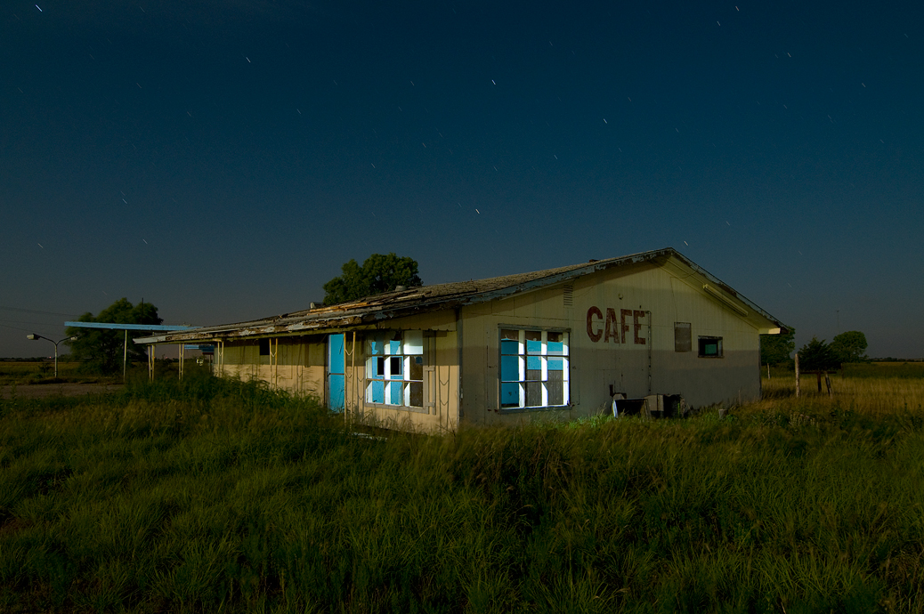
Cafe Oklahoma
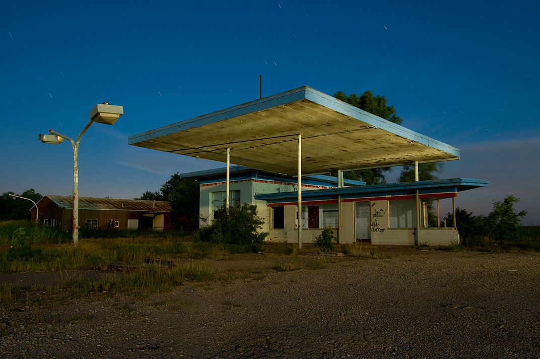
Station on Vacation
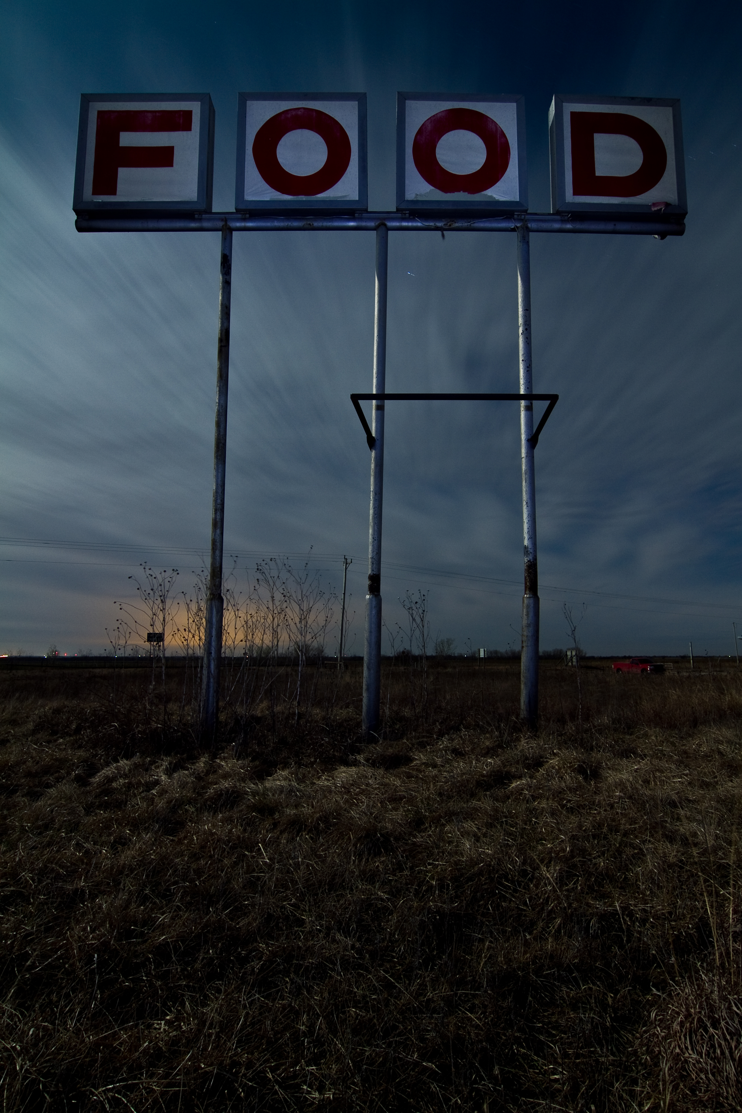
No More FOOD
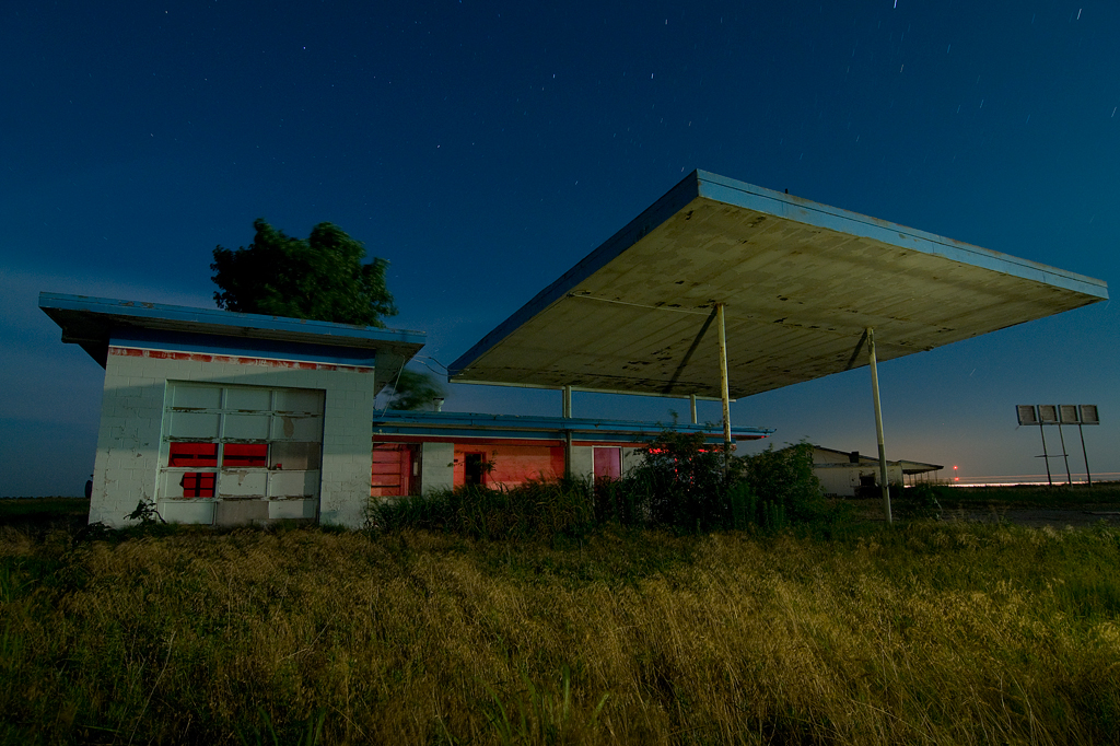
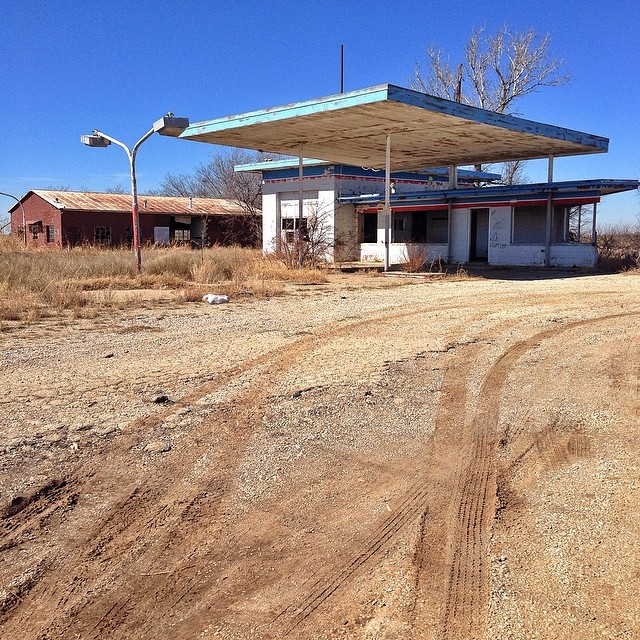
Gas & Grease

Home Cookin

Rain's a comin'.
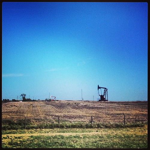
Oil field
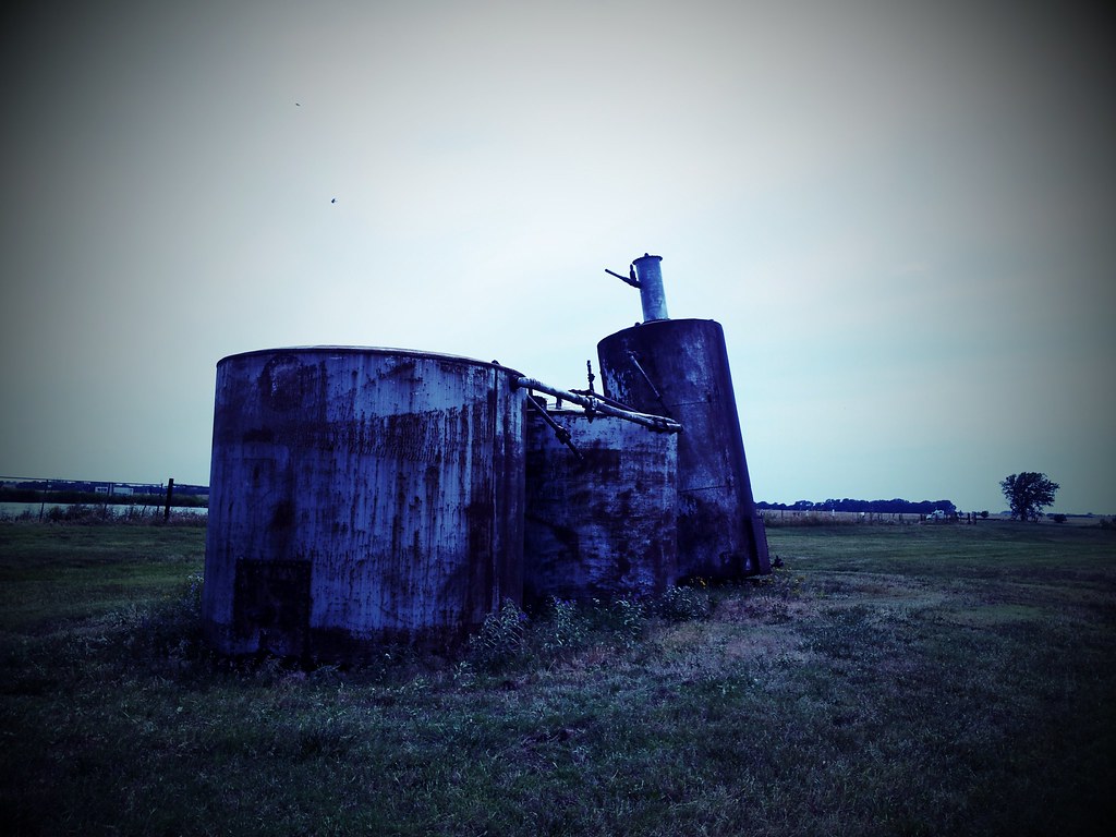
C360_2012-06-07-15-18-40
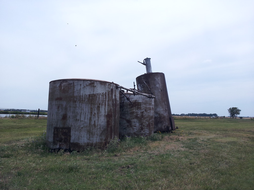
C360_2012-06-07-15-18-40_org
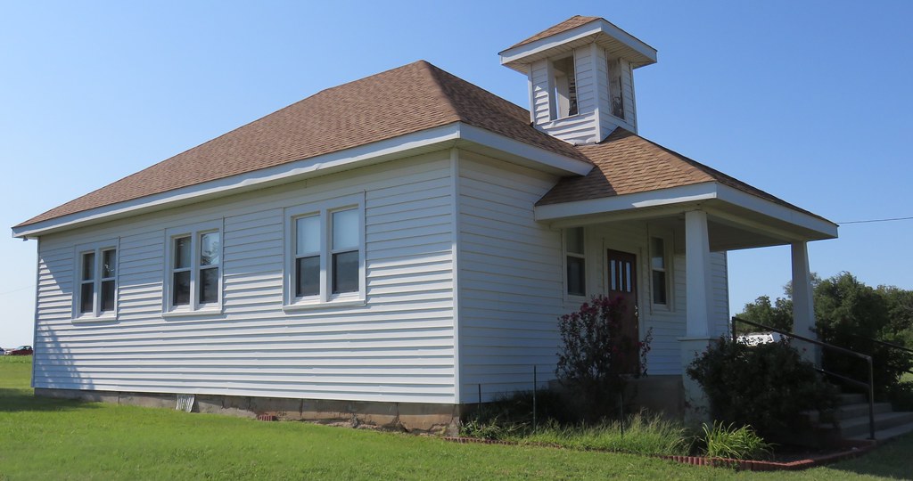
Ceres Christian Church (Ceres, Oklahoma)
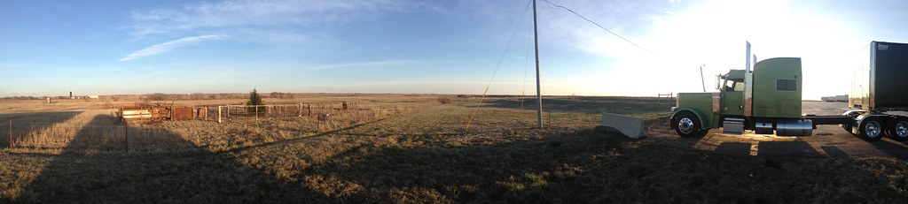
My home for the last 24 hours. Billings, Oklahoma
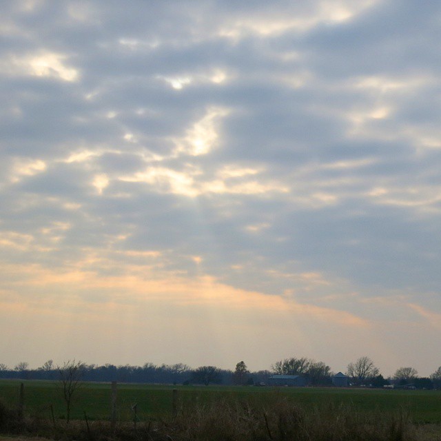
crepuscular rays are my favorite kind of rays
On the road in Oklahoma

Rise and shine!

Turtle Rock Farm
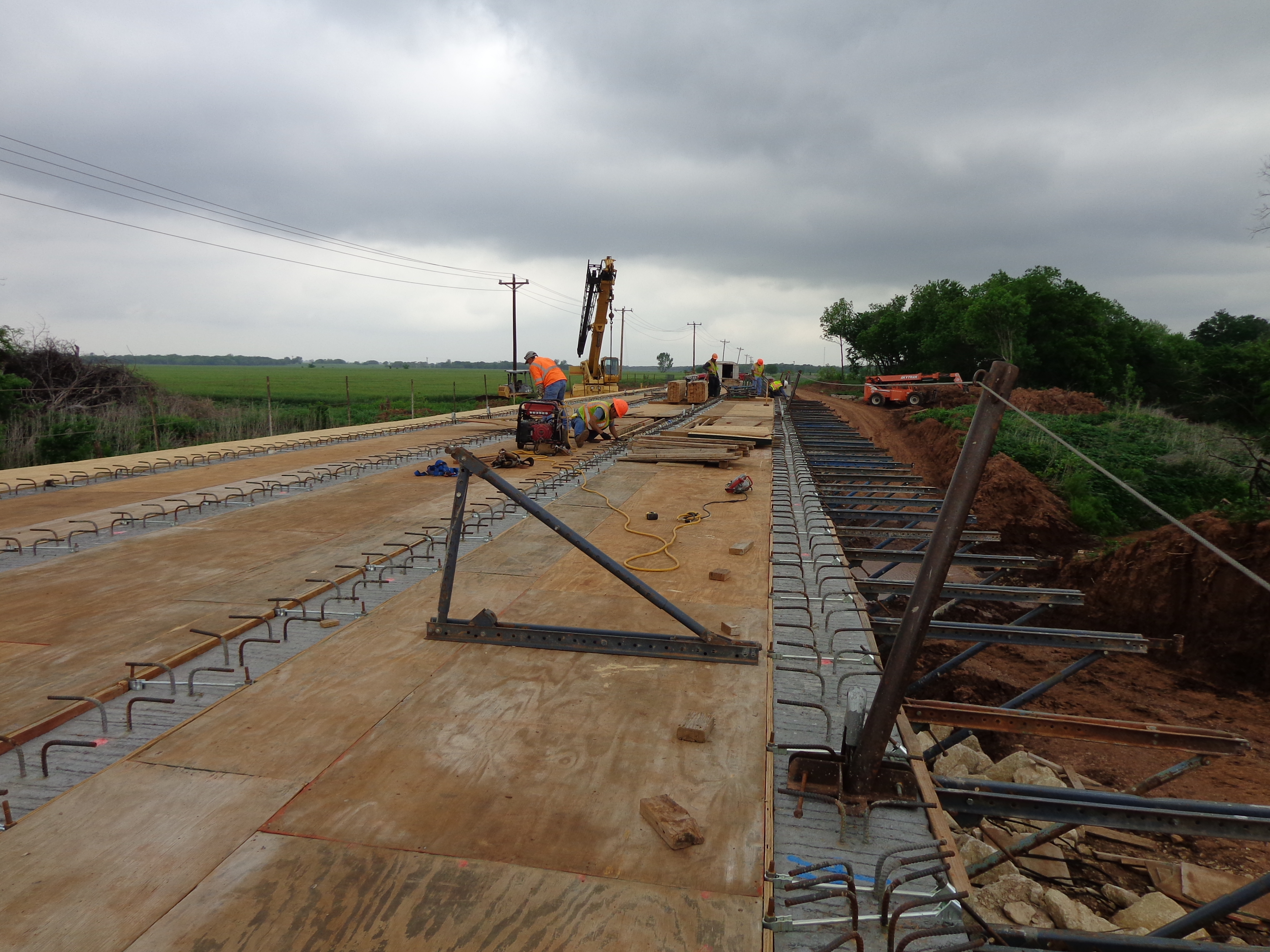
bridge deck
Topographic Map of Billings, OK, USA
Find elevation by address:

Places in Billings, OK, USA:
Places near Billings, OK, USA:
Garber
W Main St, Billings, OK, USA
9765 Old John Deere
Phillips, Enid, OK, USA
1st St, Covington, OK, USA
Covington
Noble County
810 Jackson St
Perry
Co Rd, Perry, OK, USA
N Main St, Marland, OK, USA
300 Fir St
15704 Lariat
13850 Gunsmoke
Orlando
5th St, Orlando, OK, USA
Main St, Kremlin, OK, USA
Kremlin
300 N Missouri St
Marshall
Recent Searches:
- Elevation of Corso Fratelli Cairoli, 35, Macerata MC, Italy
- Elevation of Tallevast Rd, Sarasota, FL, USA
- Elevation of 4th St E, Sonoma, CA, USA
- Elevation of Black Hollow Rd, Pennsdale, PA, USA
- Elevation of Oakland Ave, Williamsport, PA, USA
- Elevation of Pedrógão Grande, Portugal
- Elevation of Klee Dr, Martinsburg, WV, USA
- Elevation of Via Roma, Pieranica CR, Italy
- Elevation of Tavkvetili Mountain, Georgia
- Elevation of Hartfords Bluff Cir, Mt Pleasant, SC, USA