Elevation of W Main St, Billings, OK, USA
Location: United States > Oklahoma > Noble County > Billings >
Longitude: -97.282921
Latitude: 36.477145
Elevation: 297m / 974feet
Barometric Pressure: 0KPa
Related Photos:

Oklahoma farmhouse
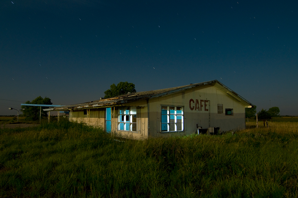
Cafe Oklahoma
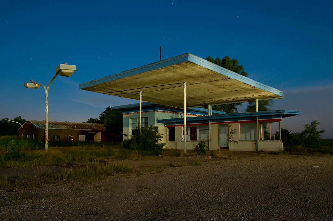
Station on Vacation

No More FOOD
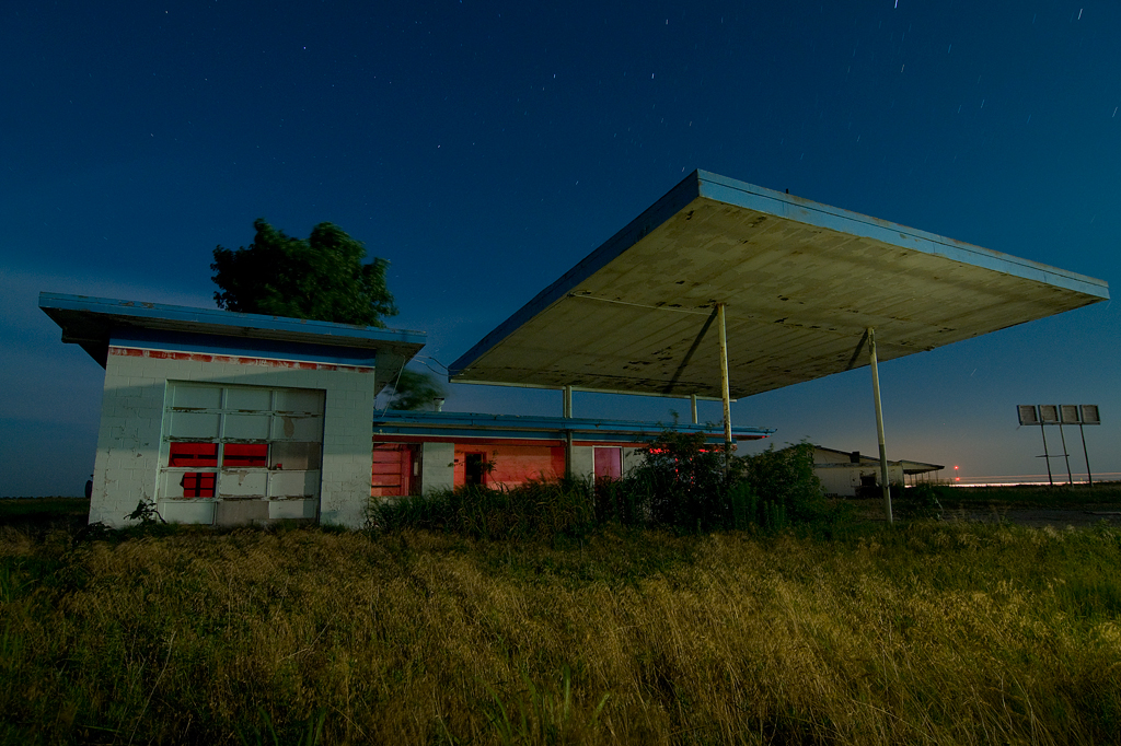
Gas & Grease

Home Cookin

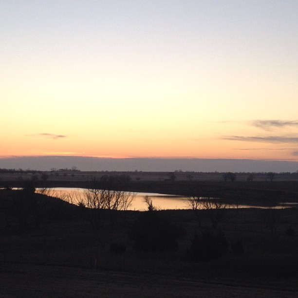
Rain's a comin'.
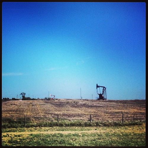
Oil field
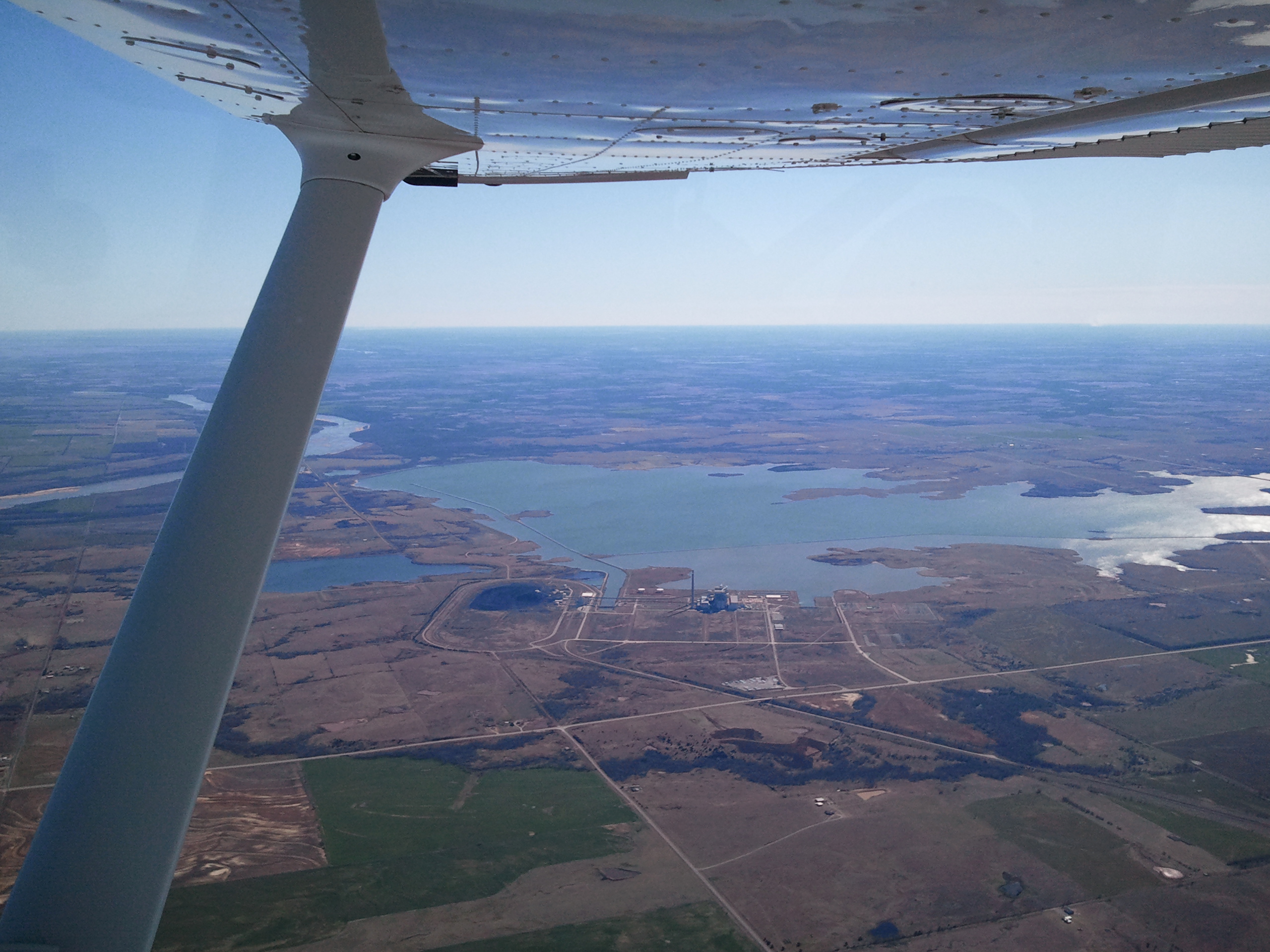
Sooner Lake from under the canopy of the Cessna 172 wing
Mornin' Monday #nofilternecessary
Topographic Map of W Main St, Billings, OK, USA
Find elevation by address:

Places near W Main St, Billings, OK, USA:
Noble County
9765 Old John Deere
N Main St, Marland, OK, USA
Co Rd, Perry, OK, USA
Billings
15704 Lariat
810 Jackson St
Perry
300 Fir St
13850 Gunsmoke
Garber
Felcher Workshop
Lake Mcmurtry West Recreation Area
Orlando
5th St, Orlando, OK, USA
1st St, Covington, OK, USA
Covington
Thomas Autos
9211 W 2nd Ave
2201 N Sangre Rd
Recent Searches:
- Elevation of Jiezi, Chongzhou City, Sichuan, China
- Elevation of Chongzhou City, Sichuan, China
- Elevation of Huaiyuan, Chongzhou City, Sichuan, China
- Elevation of Qingxia, Chengdu, Sichuan, China
- Elevation of Corso Fratelli Cairoli, 35, Macerata MC, Italy
- Elevation of Tallevast Rd, Sarasota, FL, USA
- Elevation of 4th St E, Sonoma, CA, USA
- Elevation of Black Hollow Rd, Pennsdale, PA, USA
- Elevation of Oakland Ave, Williamsport, PA, USA
- Elevation of Pedrógão Grande, Portugal
- Elevation of Klee Dr, Martinsburg, WV, USA
- Elevation of Via Roma, Pieranica CR, Italy
- Elevation of Tavkvetili Mountain, Georgia
- Elevation of Hartfords Bluff Cir, Mt Pleasant, SC, USA
- Elevation of SW Barberry Dr, Beaverton, OR, USA
- Elevation of Old Ahsahka Grade, Ahsahka, ID, USA
- Elevation of State Hwy F, Pacific, MO, USA
- Elevation of Chemin de Bel air, Chem. de Bel air, Mougins, France
- Elevation of Cloverdale Dr, Bloomingdale, GA, USA
- Elevation of 3FPP+WP4, Alajuela Province, San Ramon, Costa Rica