Elevation of FL-71, Blountstown, FL, USA
Location: United States > Florida > Calhoun County > Blountstown >
Longitude: -85.099725
Latitude: 30.365735
Elevation: 25m / 82feet
Barometric Pressure: 101KPa
Elevation Map:
Satellite Map:
Related Photos:

bug's eye view with a bokeh perspective

The Garden of Eden Trail
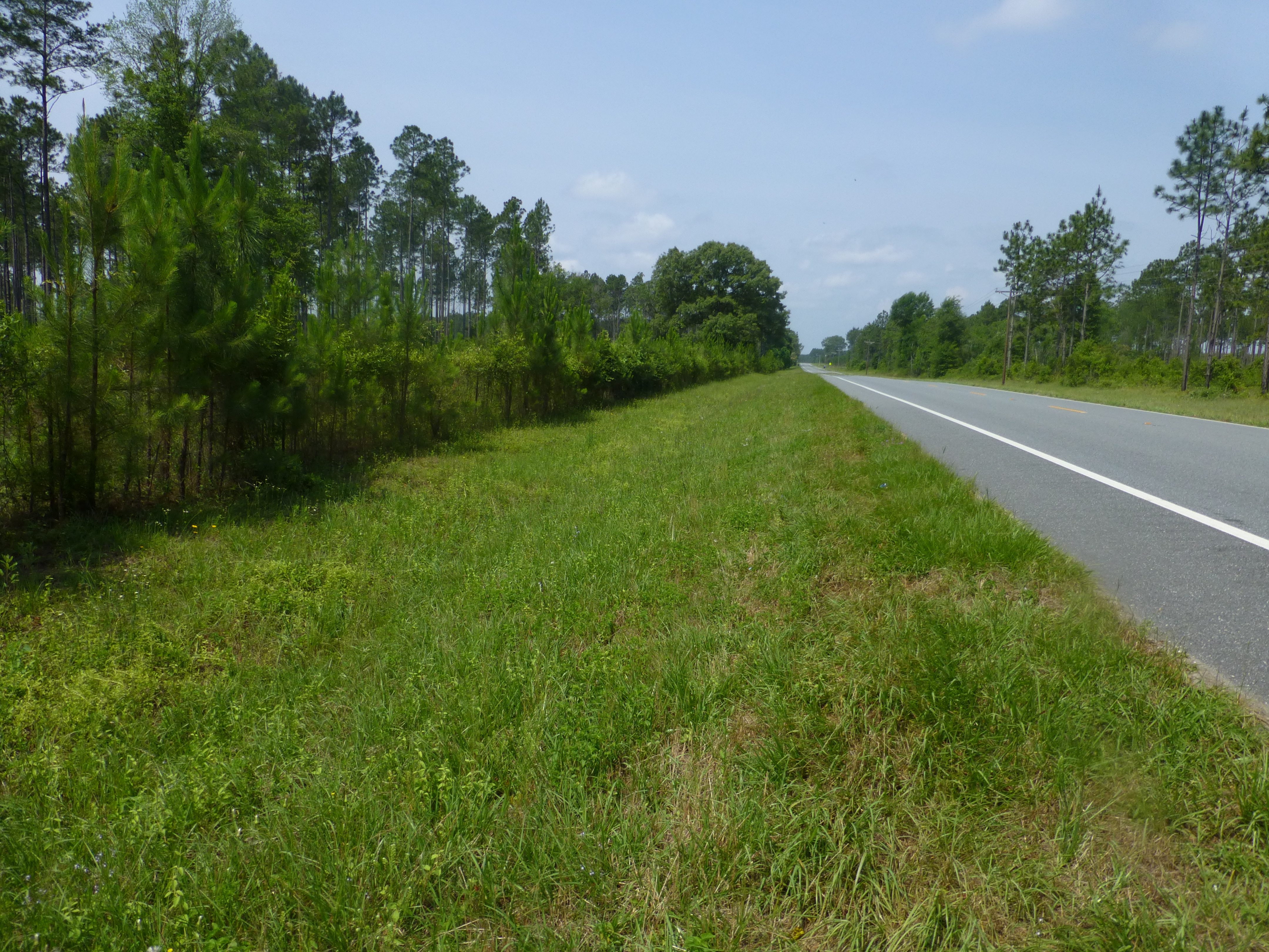
SR 71 at the TNC Preserve

Alum Bluff overlook, Garden of Eden Trail

once upon a saturday morning
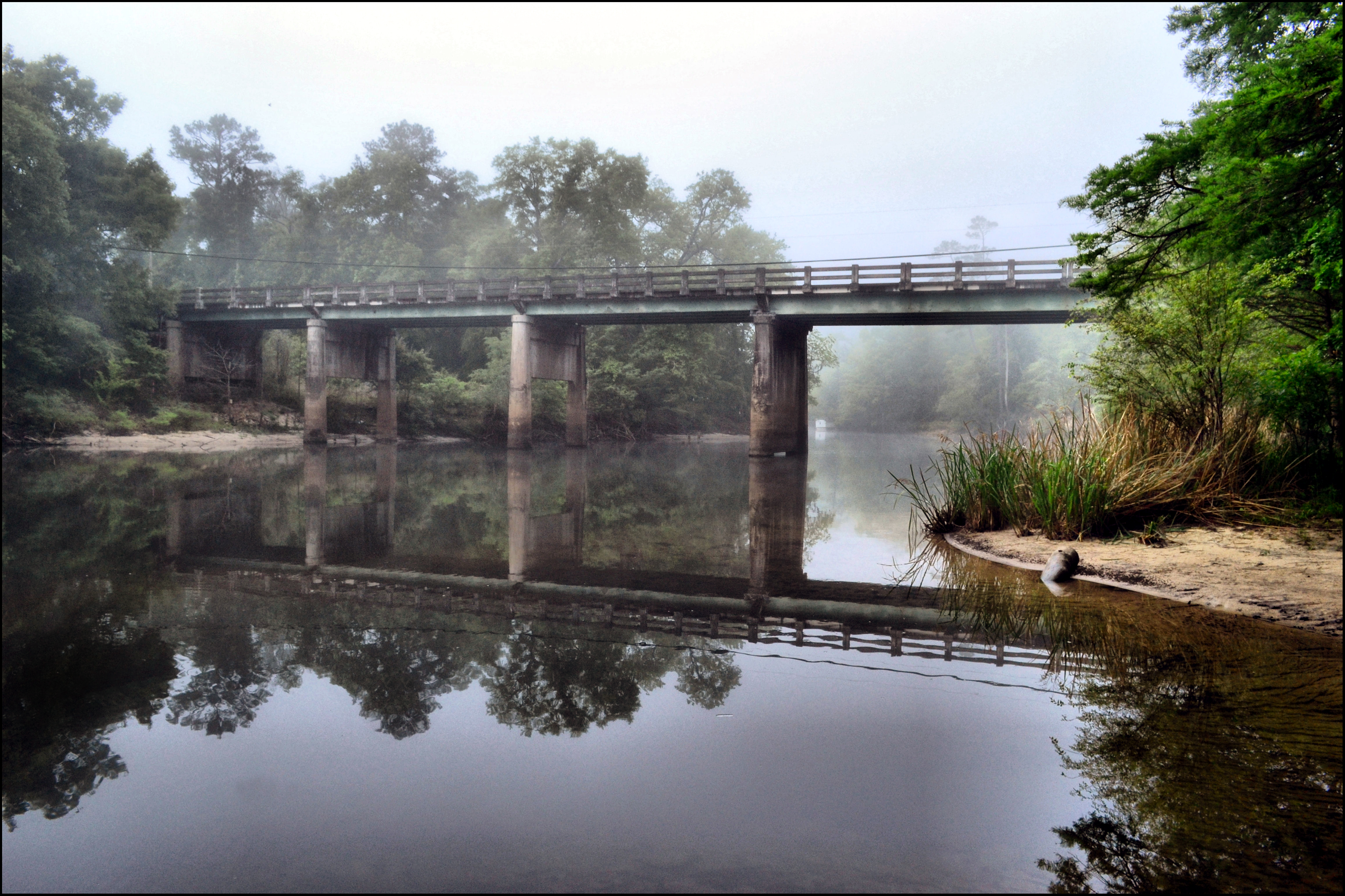
MORNING ON THE CHIPOLA RIVER
Camel Lake-2

morning dew

gorgeous green thursday
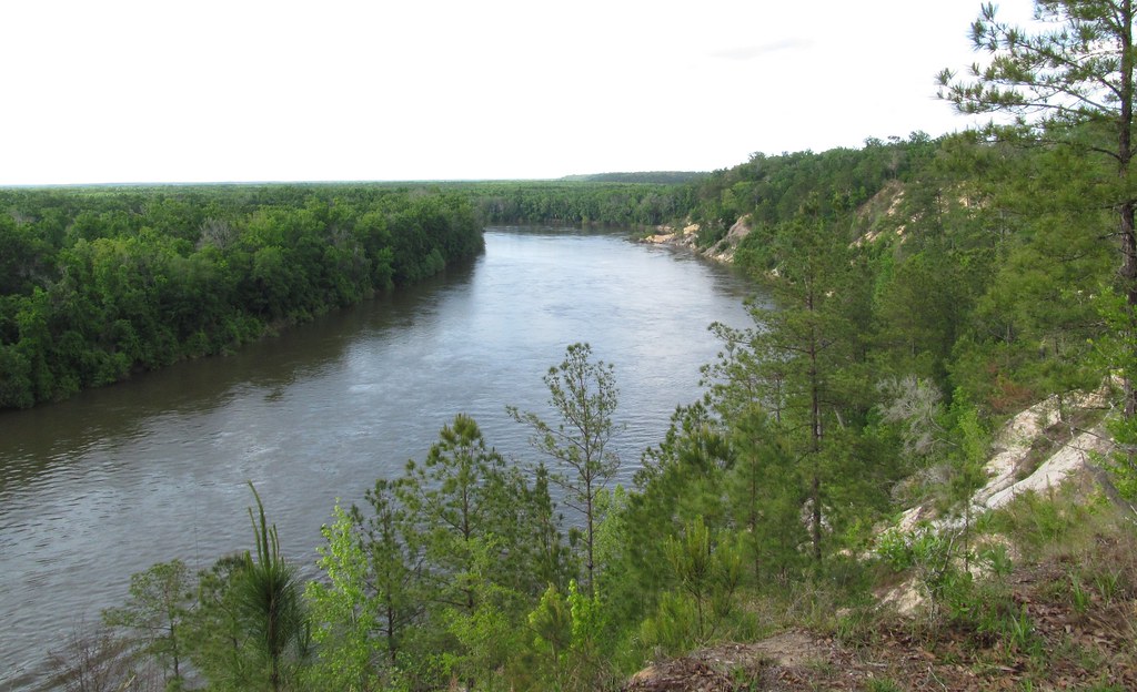
Apalachicola River

Kelley Branch, Garden of Eden Trail

return of the itty bitty bokeh balls
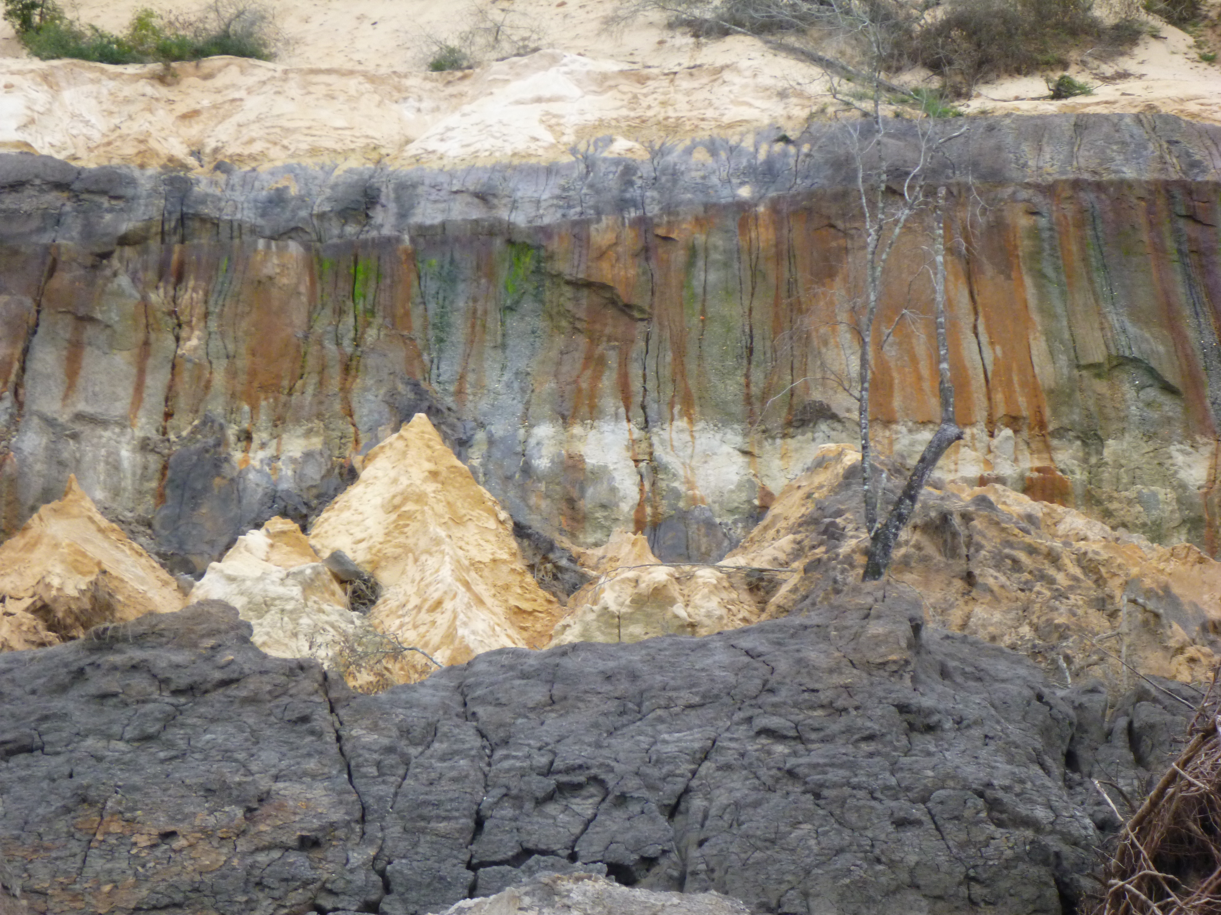
Alum Bluff landslide scar
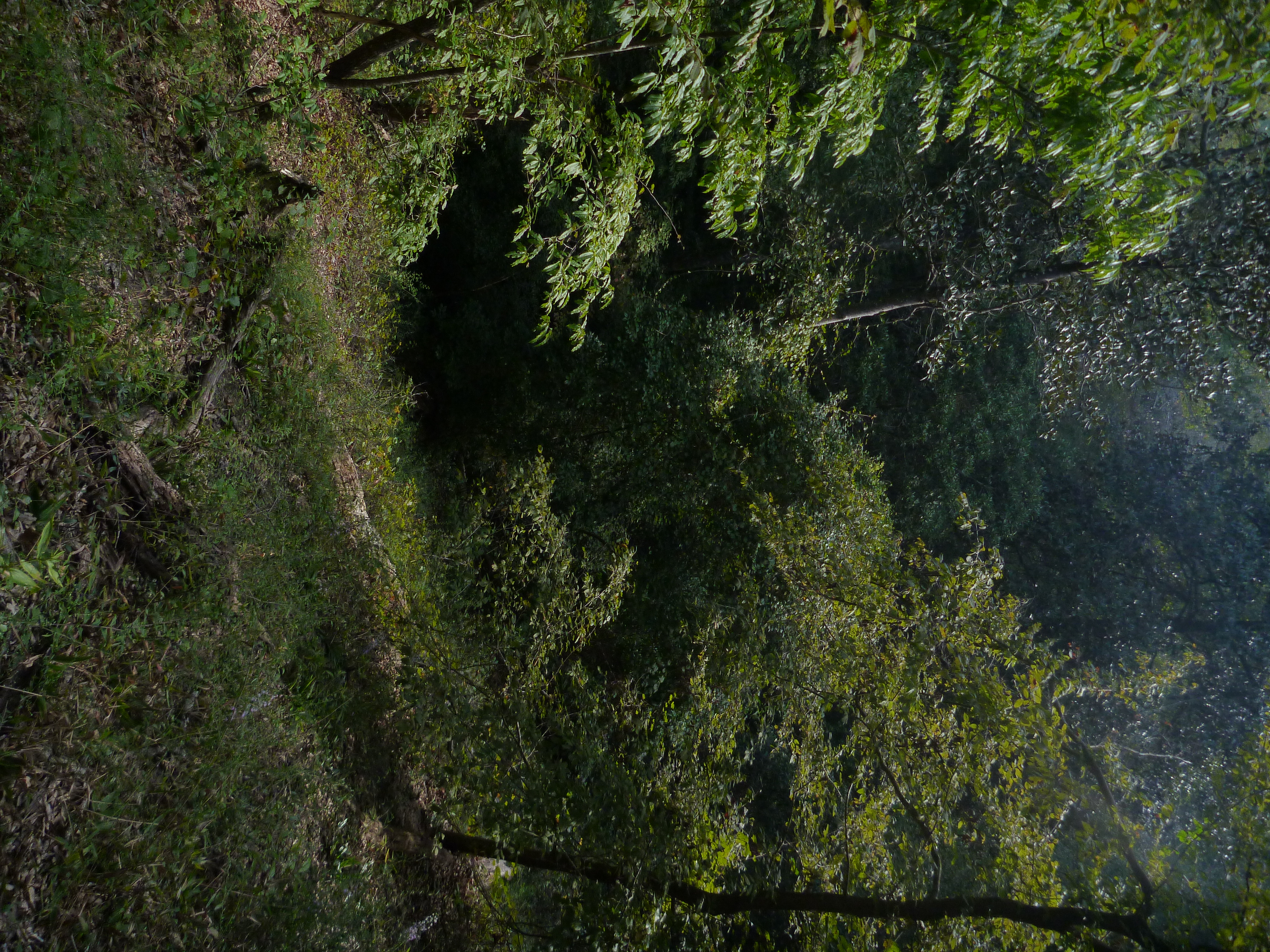
Steephead Ravine on the Garden of Eden Trail
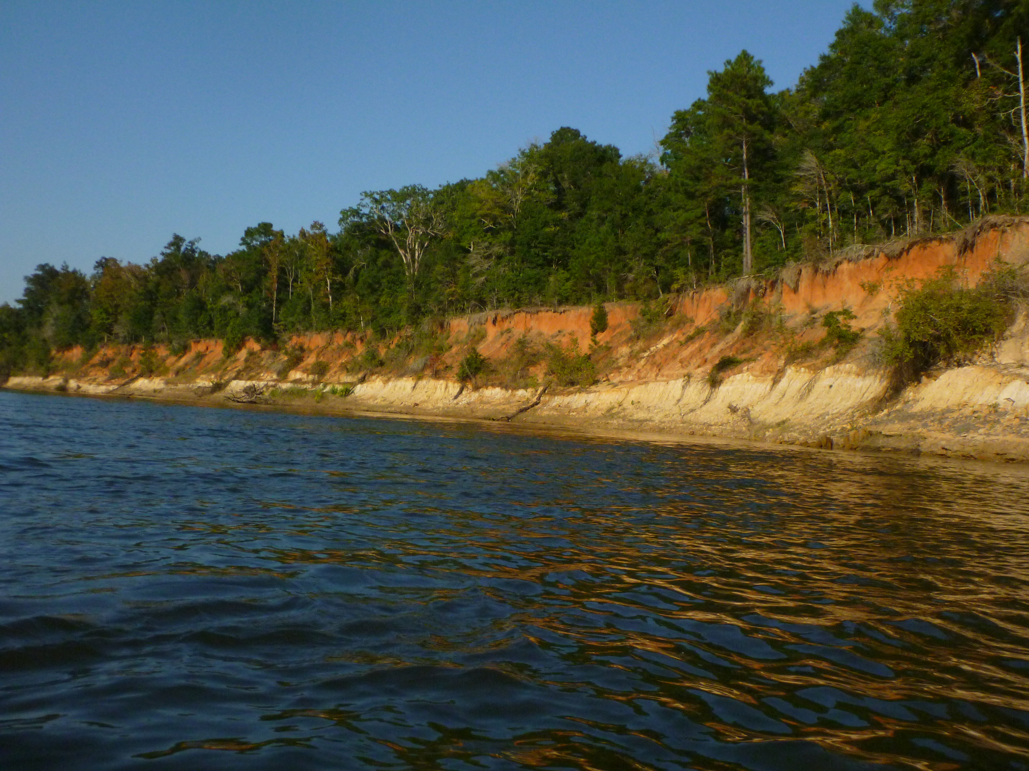
Estiffinulga Bluff
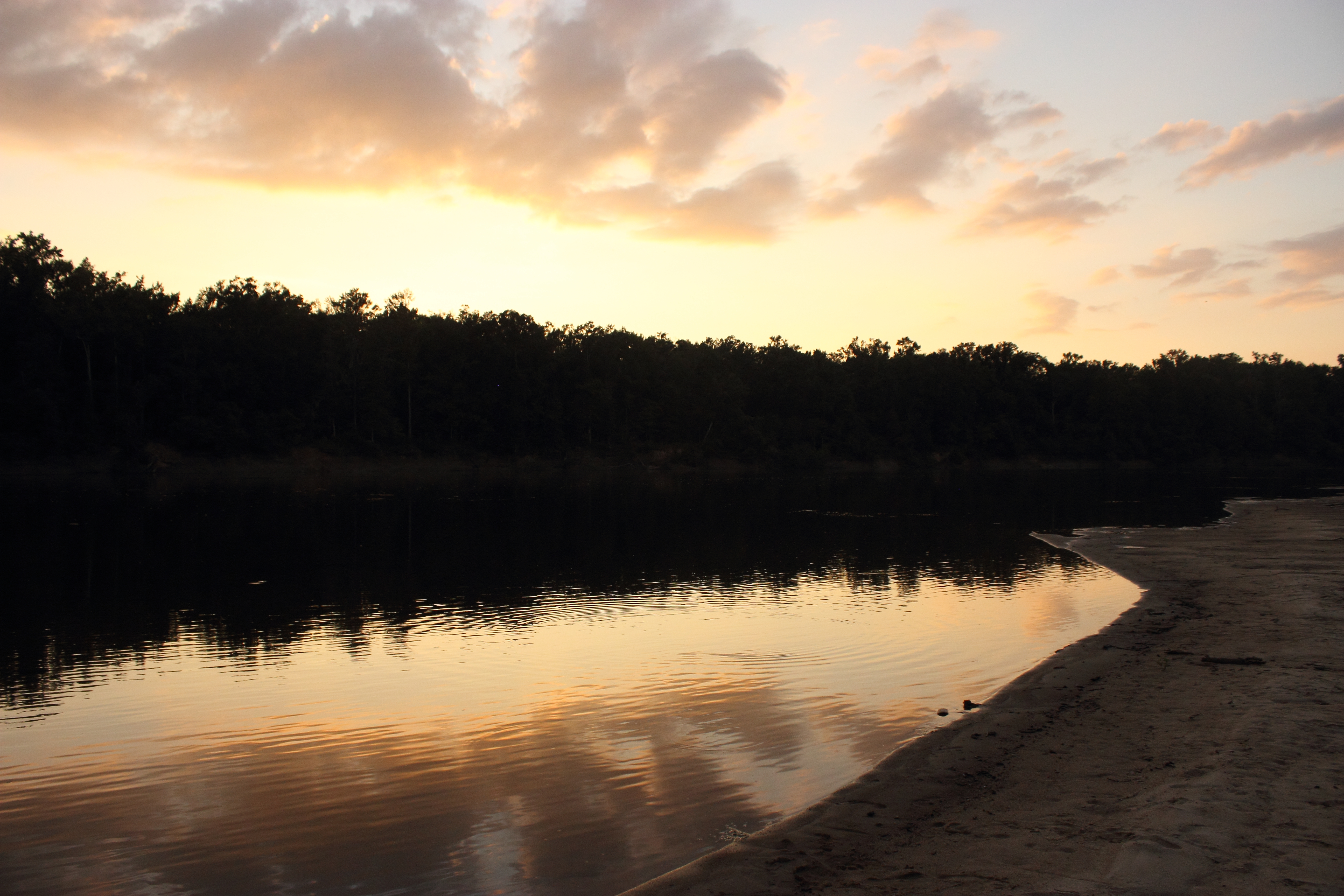
Sunset on the Apalachicola River
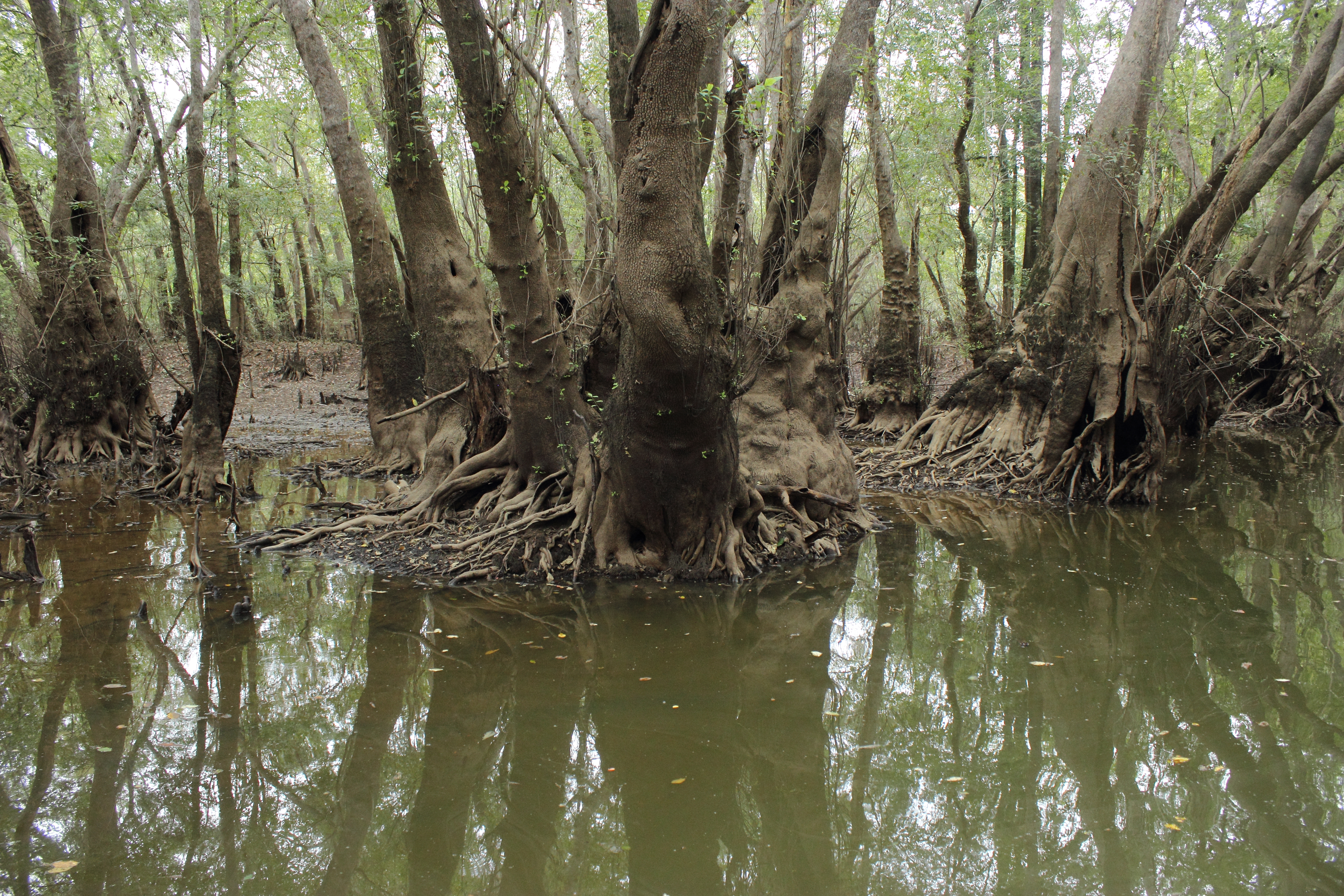
Ogeechee Tupelo in Sutton Lake
Sutton Lake
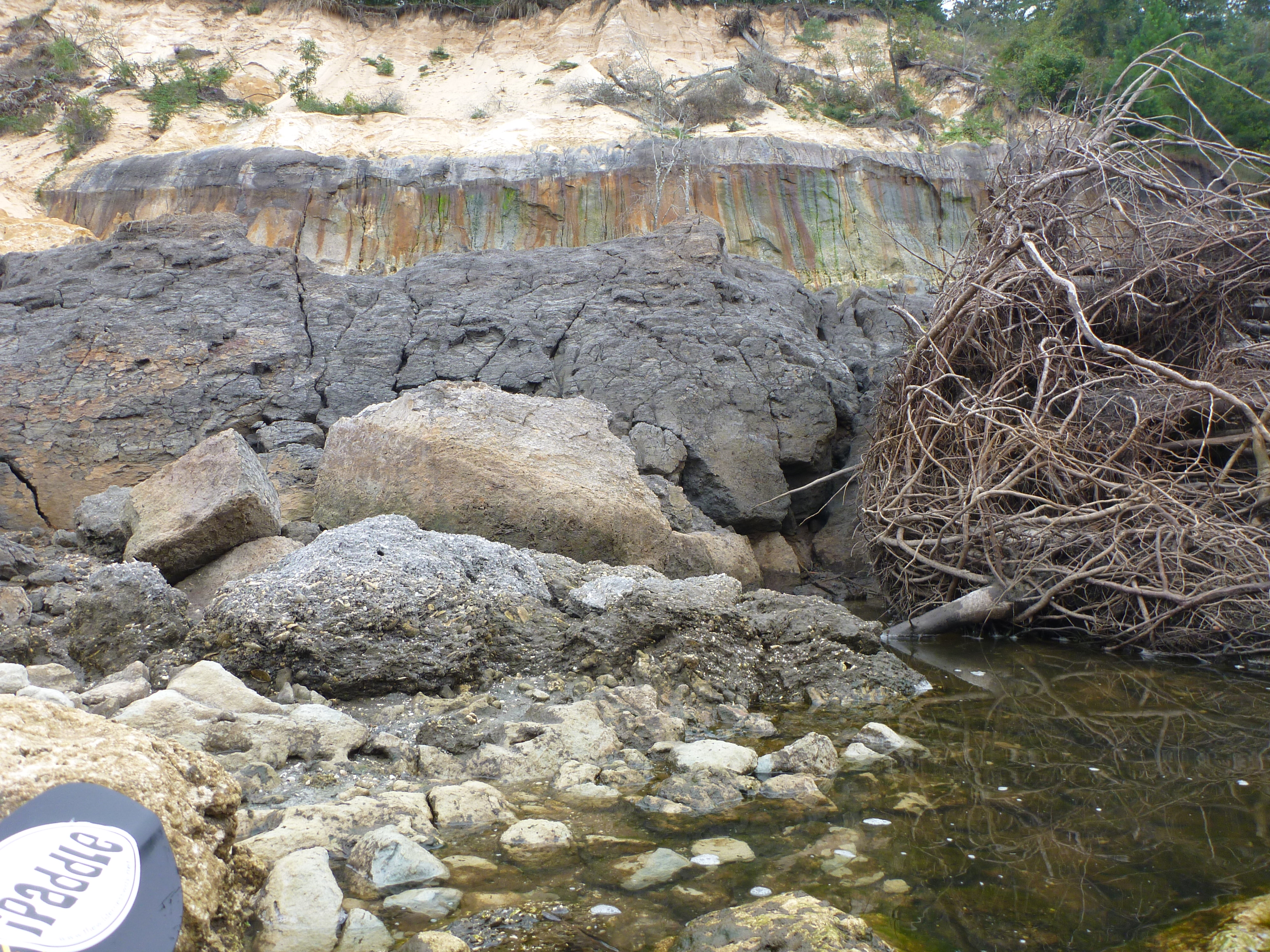
Alum Bluff landslide debris

Alum Bluff and Sand Bar
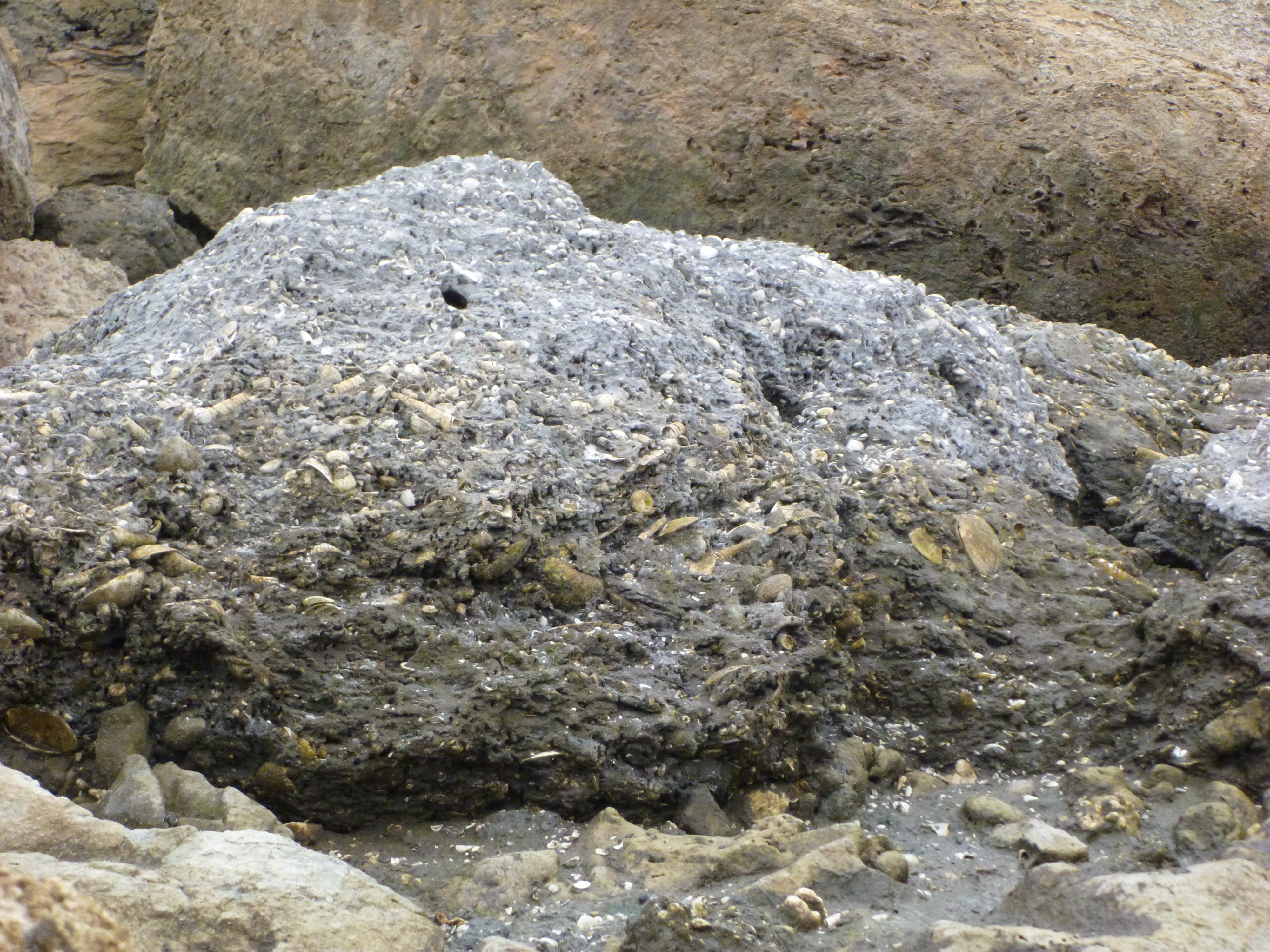
Alum Bluff landslide debris
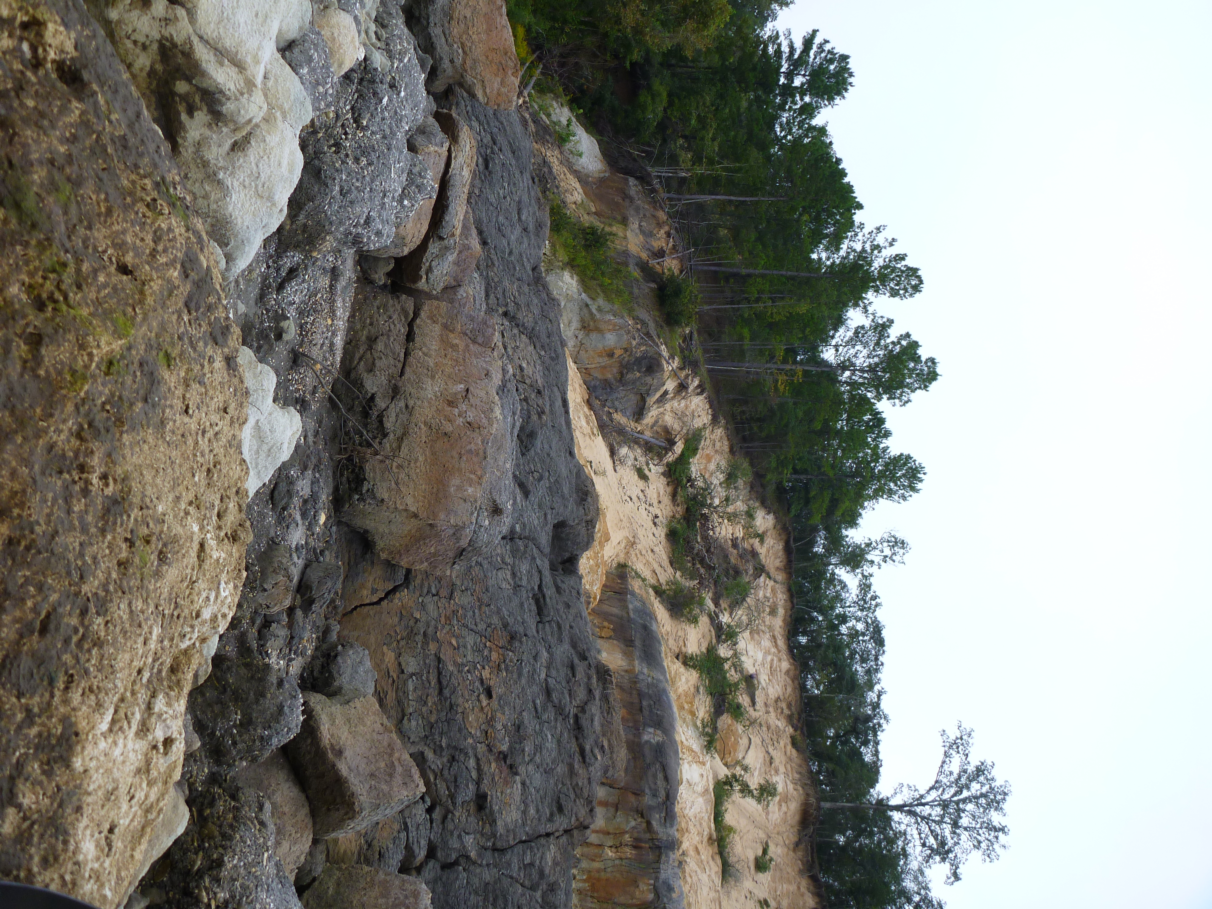
Alum Bluff landslide debris

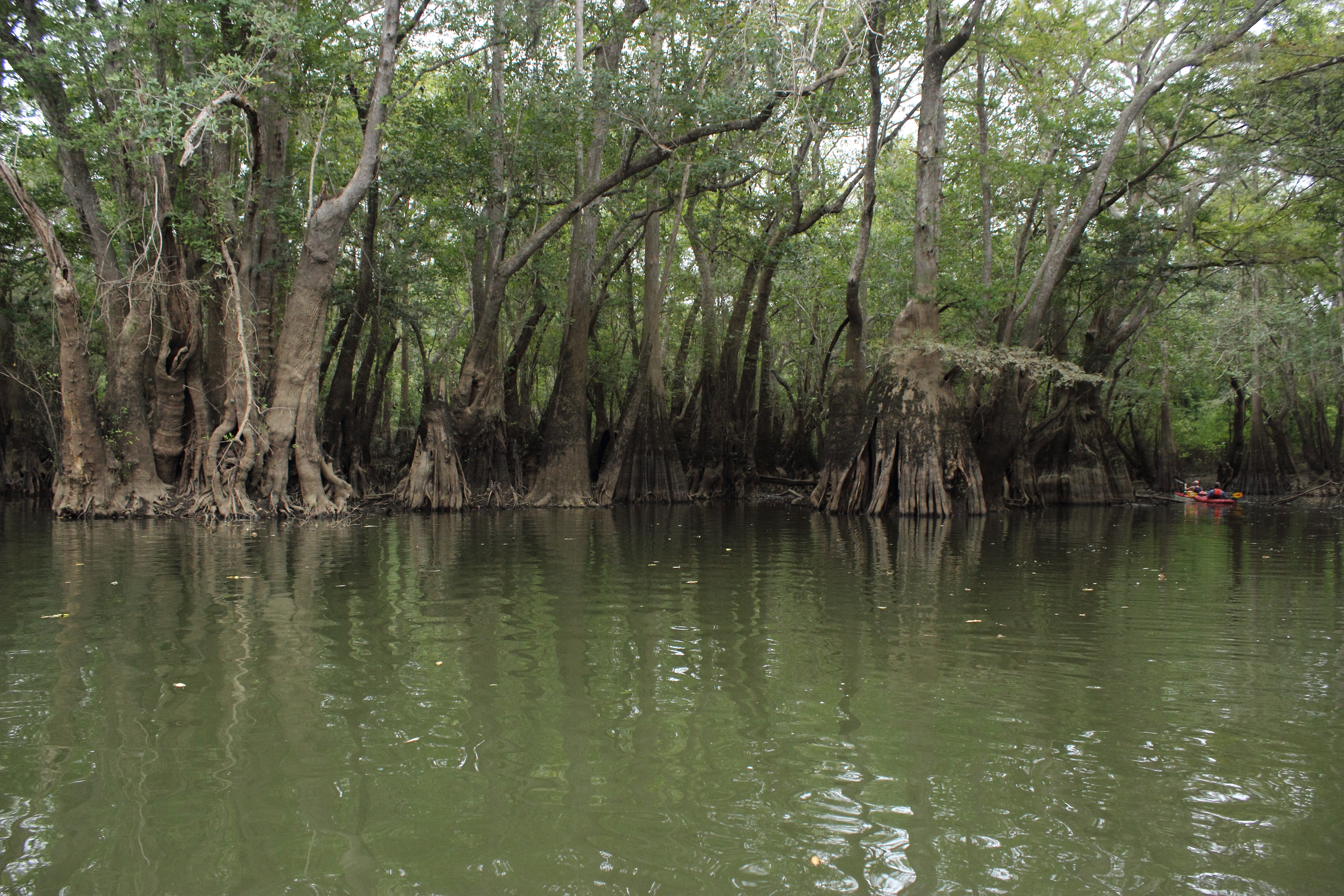
Kayaking Sutton Lake
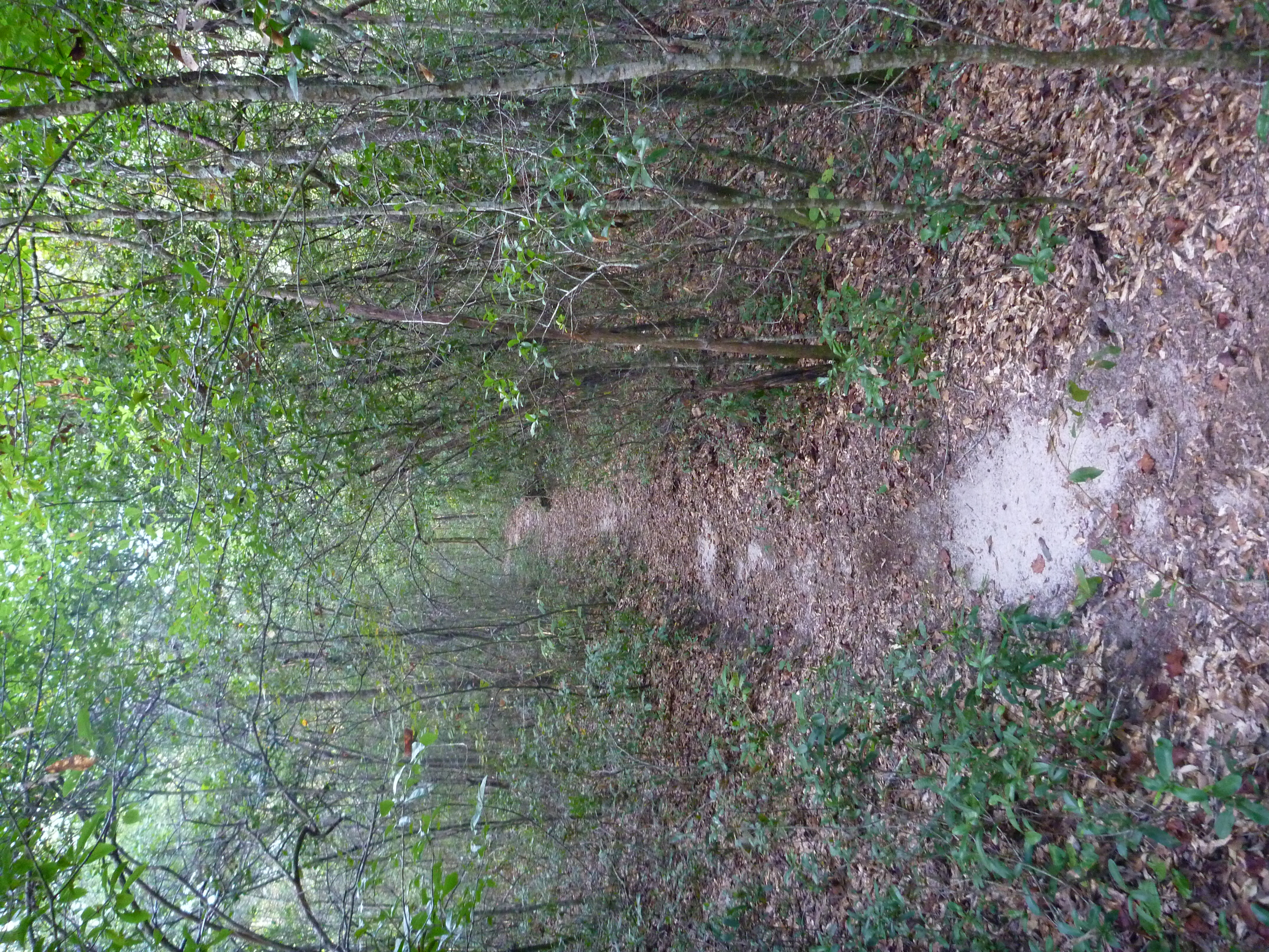
The Garden of Eden Trail
Topographic Map of FL-71, Blountstown, FL, USA
Find elevation by address:

Places near FL-71, Blountstown, FL, USA:
McDaniel Rd, Blountstown, FL, USA
Co Rd, Blountstown, FL, USA
FL-71, Blountstown, FL, USA
16435 Fl-71
Co Rd, Bristol, FL, USA
Calhoun County
Blountstown
Co Rd, Bristol, FL, USA
Clarksville
17341 Nw Green Acres Rd
FL-73, Clarksville, FL, USA
Co Rd, Bristol, FL, USA
FL-73, Clarksville, FL, USA
County Rd, Bristol, FL, USA
10889 Fl-73
Cedar St, Blountstown, FL, USA
21814 Fl-71
FL-20, Clarksville, FL, USA
Ashley Shiver Rd NW, Altha, FL, USA
Bristol
Recent Searches:
- Elevation of Côte-des-Neiges, Montreal, QC H4A 3J6, Canada
- Elevation of Bobcat Dr, Helena, MT, USA
- Elevation of Zu den Ihlowbergen, Althüttendorf, Germany
- Elevation of Badaber, Peshawar, Khyber Pakhtunkhwa, Pakistan
- Elevation of SE Heron Loop, Lincoln City, OR, USA
- Elevation of Slanický ostrov, 01 Námestovo, Slovakia
- Elevation of Spaceport America, Co Rd A, Truth or Consequences, NM, USA
- Elevation of Warwick, RI, USA
- Elevation of Fern Rd, Whitmore, CA, USA
- Elevation of 62 Abbey St, Marshfield, MA, USA