Elevation of FL-71, Blountstown, FL, USA
Location: United States > Florida > Calhoun County > Blountstown >
Longitude: -85.127382
Latitude: 30.305081
Elevation: 23m / 75feet
Barometric Pressure: 101KPa
Elevation Map:
Satellite Map:
Related Photos:
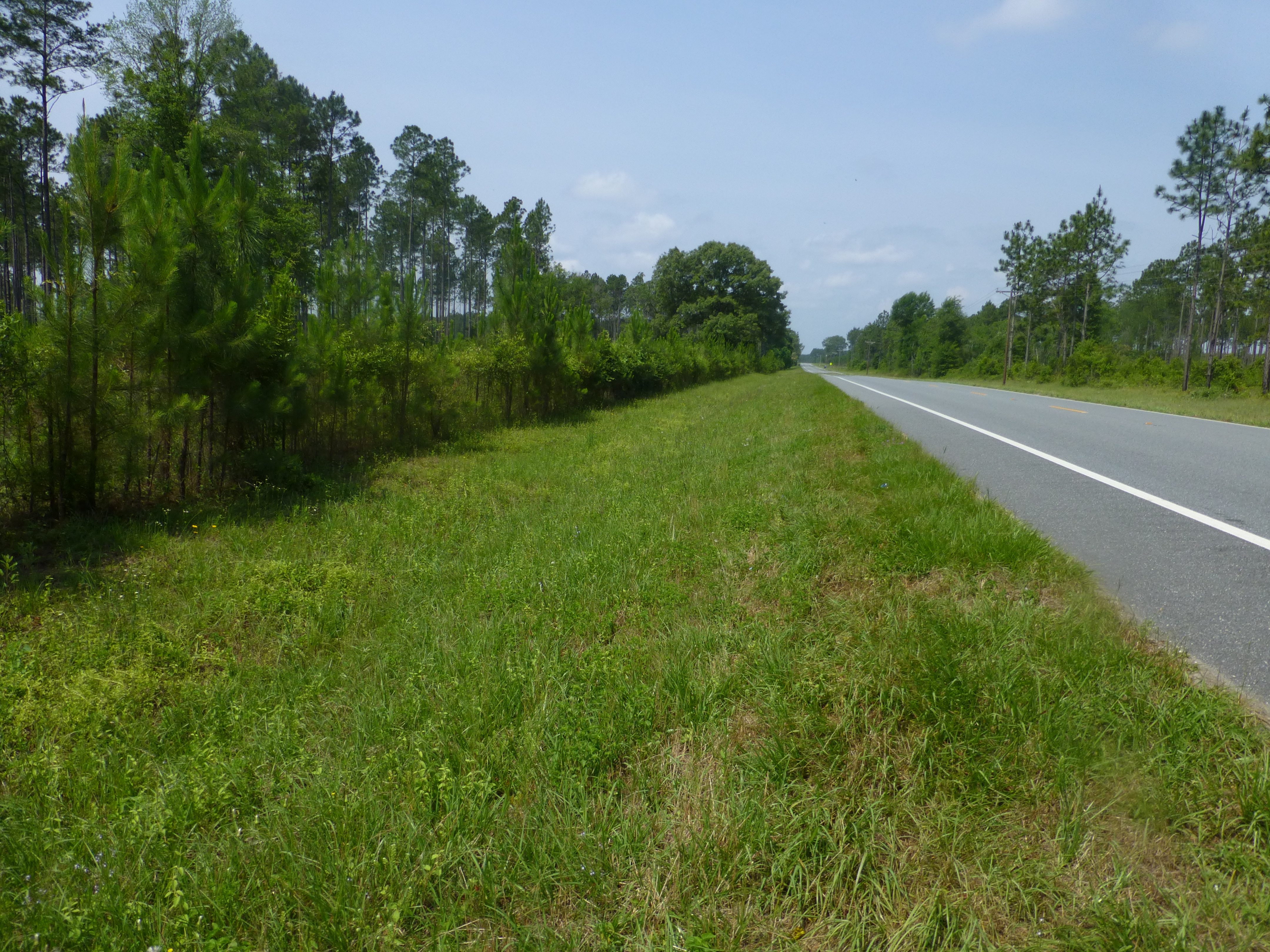
SR 71 at the TNC Preserve
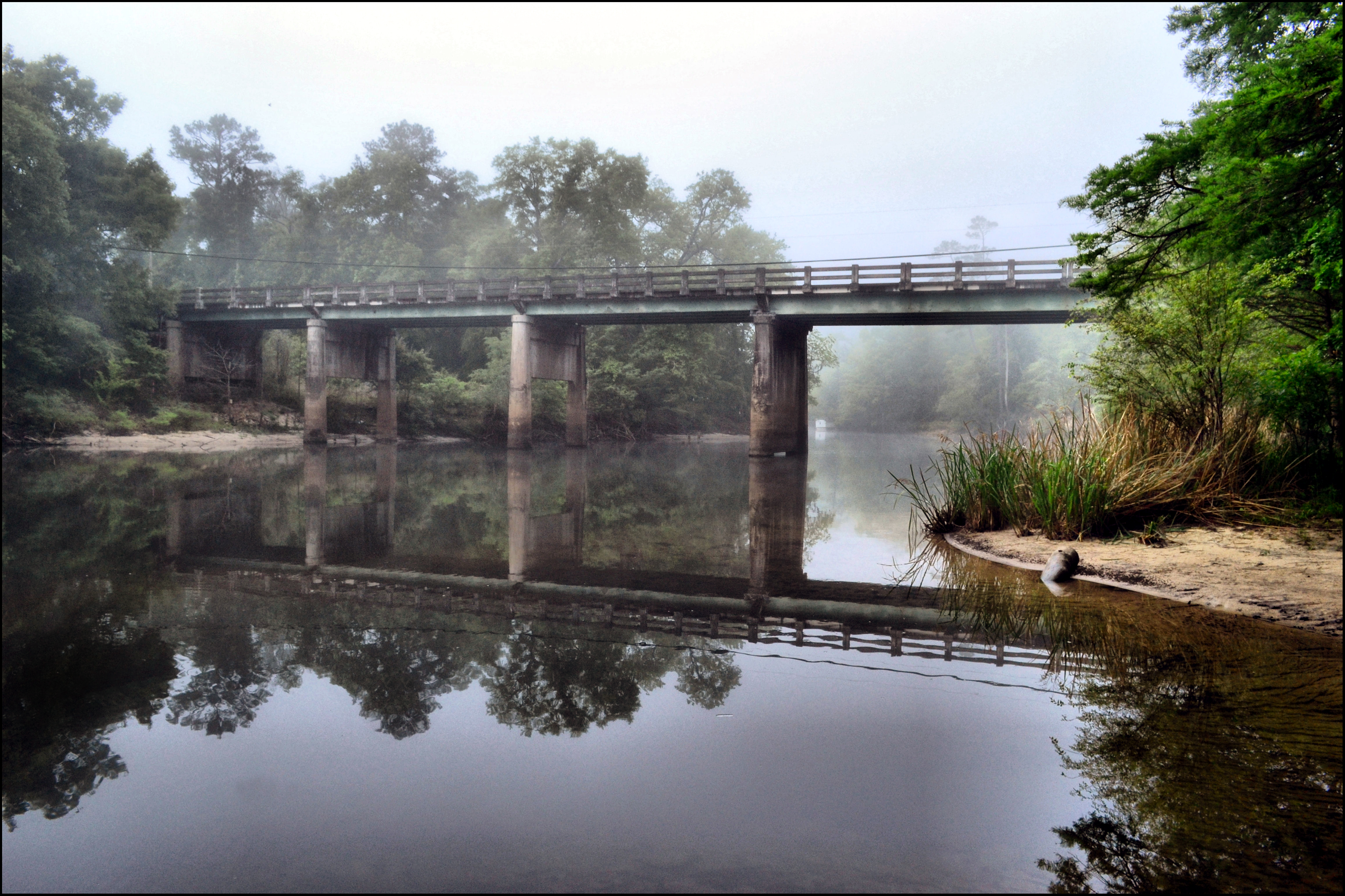
MORNING ON THE CHIPOLA RIVER
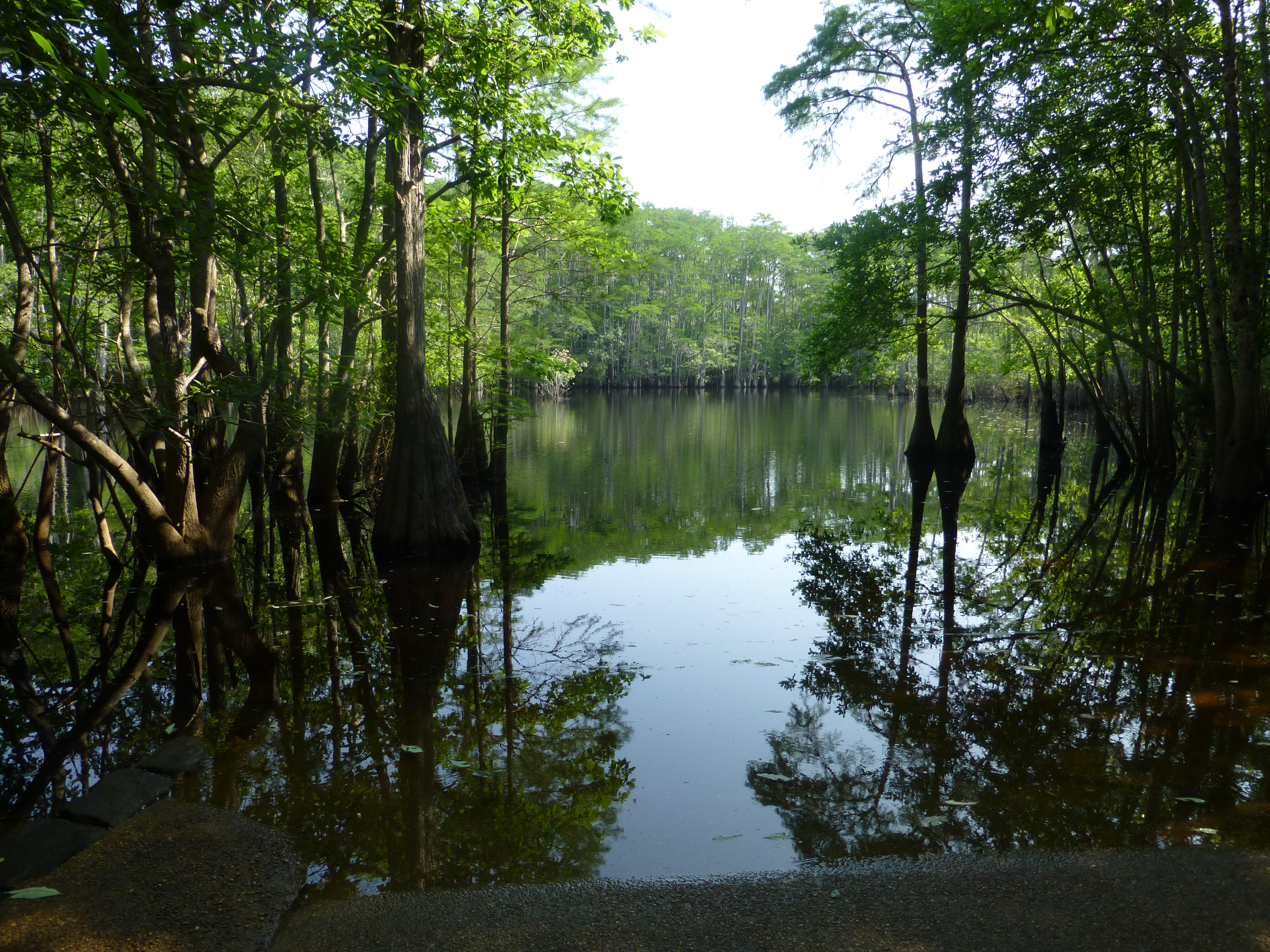
Camel Lake-2

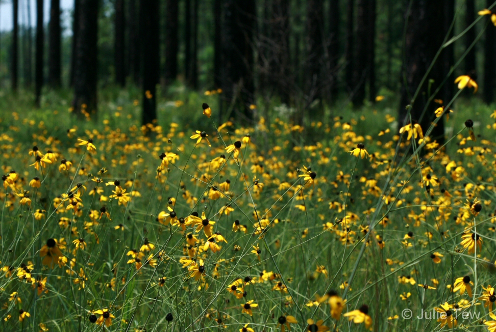
Pineland False Sunflower
Camel Lake-3
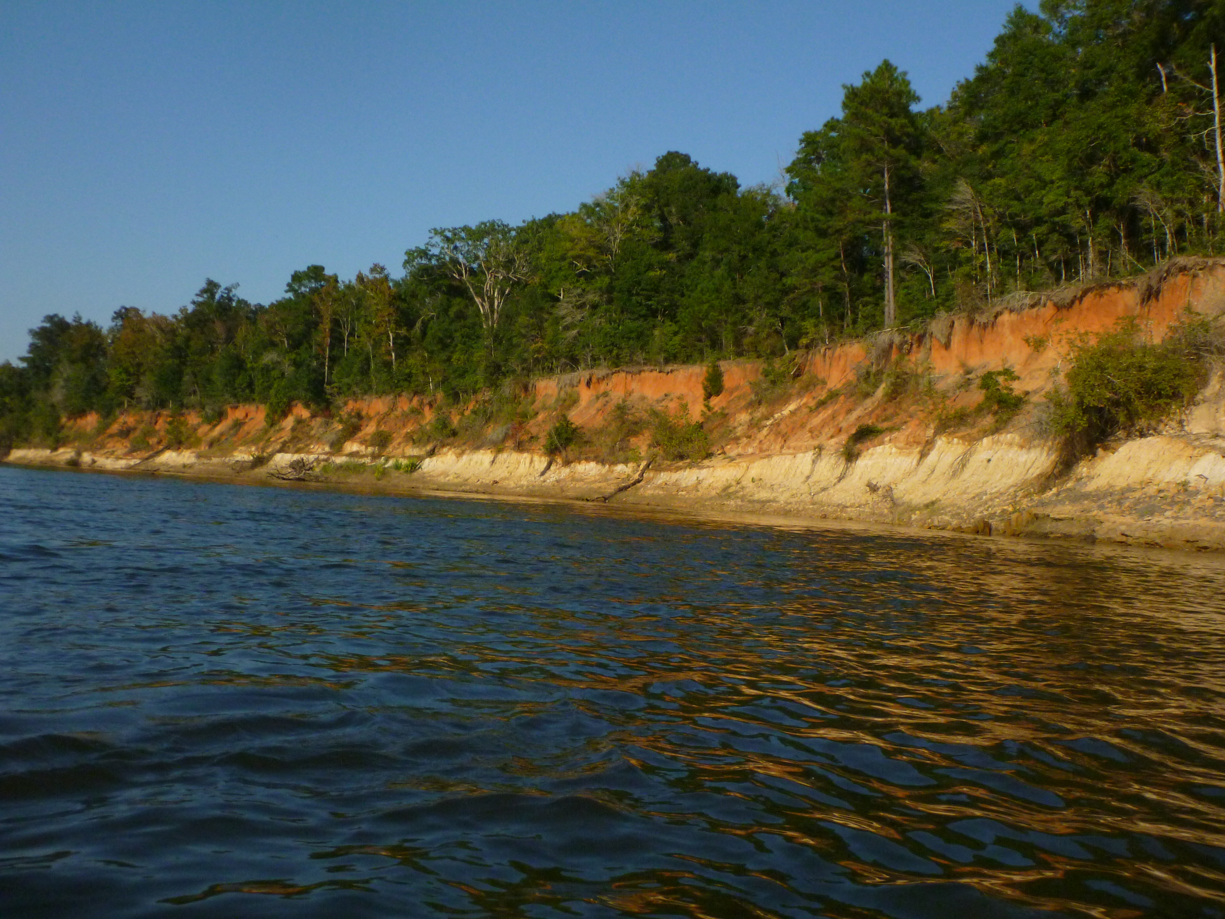
Estiffinulga Bluff
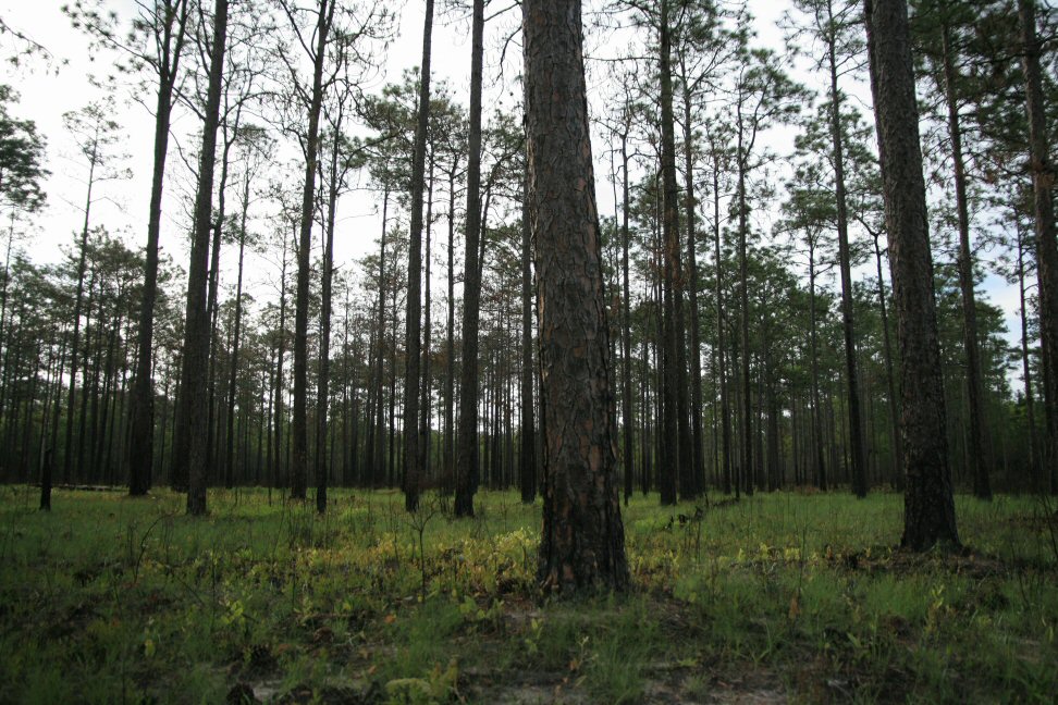
Good Morning, Pines
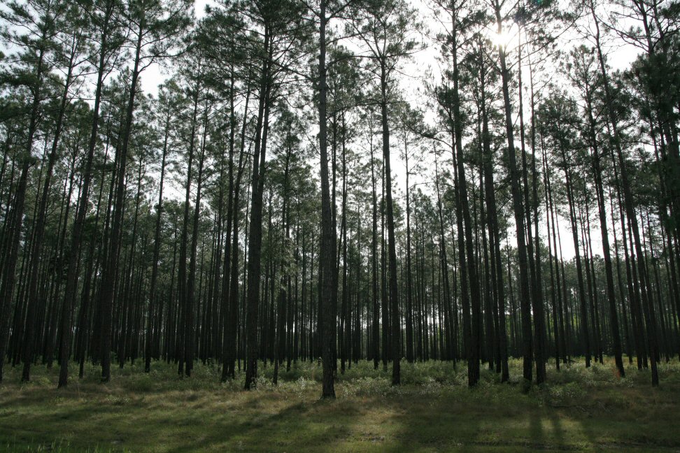
Good Morning, Pines
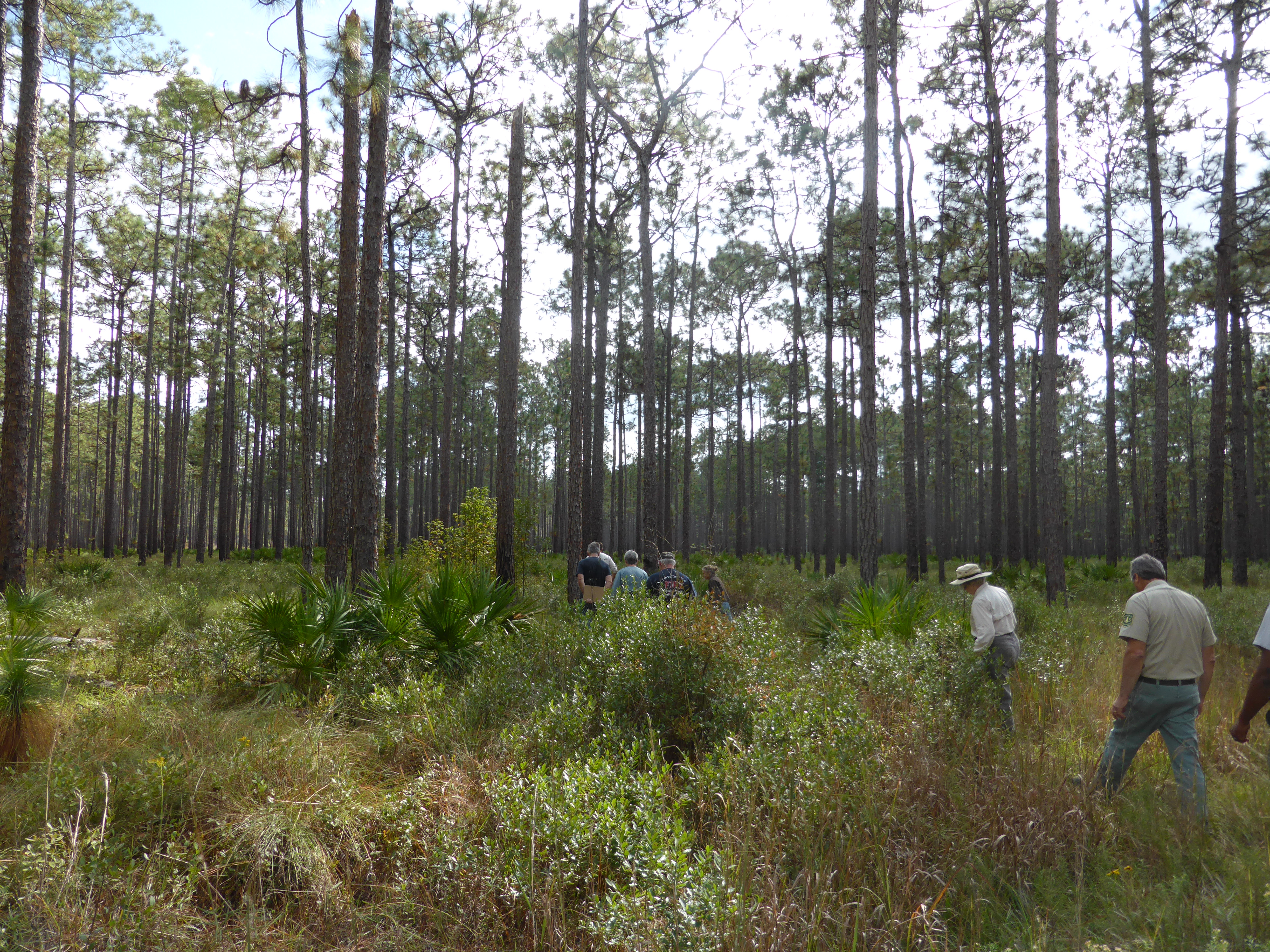
Stop 4

Golden Field

Oak Grove area

Ditch Flowers
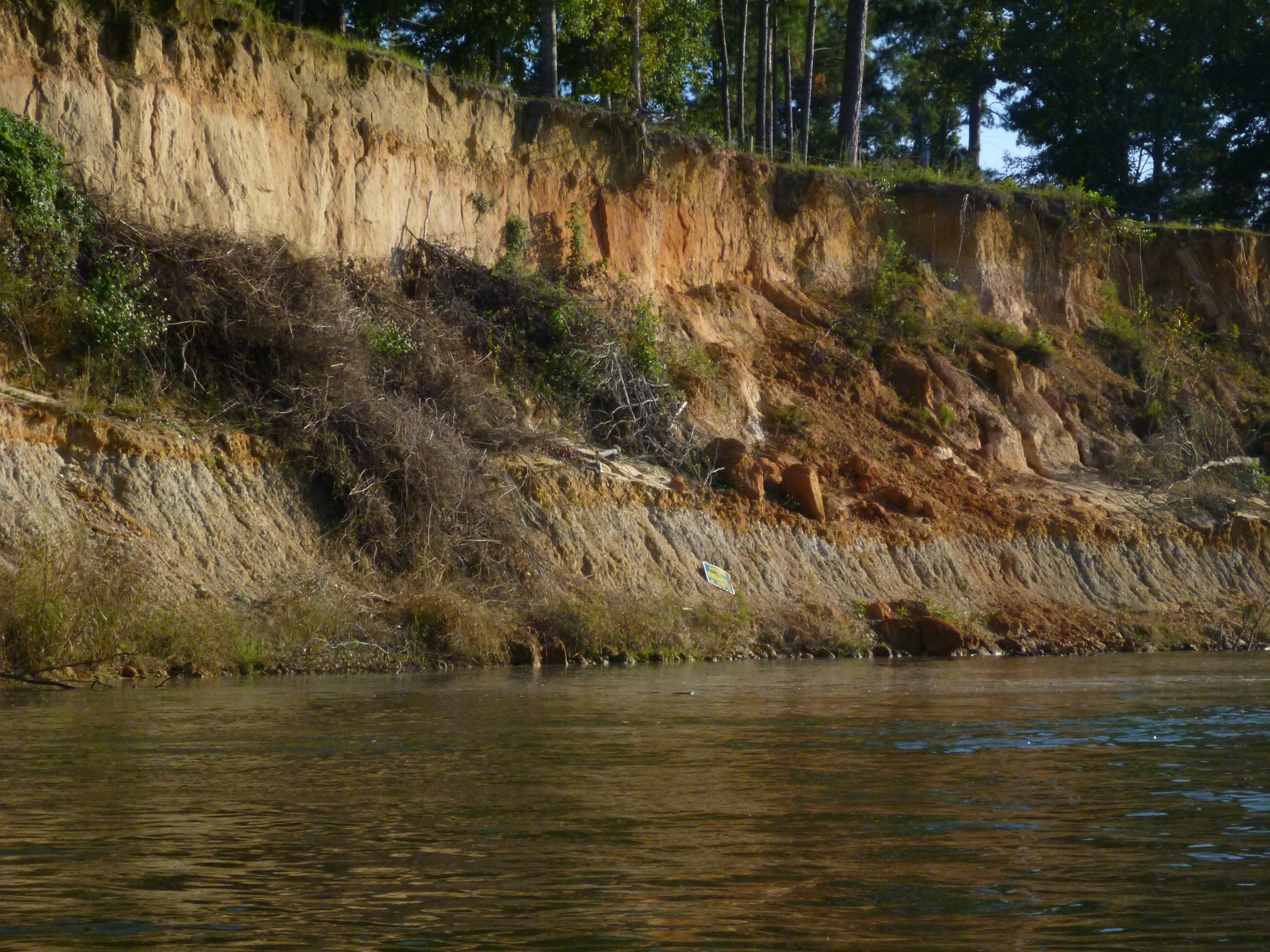
Estiffinulga Bluff
Blackeyed Susans
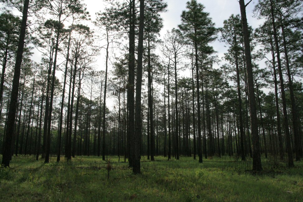
Good Morning, Pines
Nadine Stone's Landing
Topographic Map of FL-71, Blountstown, FL, USA
Find elevation by address:

Places near FL-71, Blountstown, FL, USA:
Co Rd, Blountstown, FL, USA
FL-71, Blountstown, FL, USA
Calhoun County
McDaniel Rd, Blountstown, FL, USA
Co Rd, Bristol, FL, USA
Co Rd, Bristol, FL, USA
Co Rd, Bristol, FL, USA
10889 Fl-73
FL-73, Clarksville, FL, USA
Co Rd, Bristol, FL, USA
FL-73, Clarksville, FL, USA
Monroe Johnson Rd, Kinard, FL, USA
Kinard
Camel Lake Campground
Clarksville
16435 Fl-71
County Rd, Bristol, FL, USA
17341 Nw Green Acres Rd
FL-20, Clarksville, FL, USA
Blountstown
Recent Searches:
- Elevation of Tenjo, Cundinamarca, Colombia
- Elevation of Côte-des-Neiges, Montreal, QC H4A 3J6, Canada
- Elevation of Bobcat Dr, Helena, MT, USA
- Elevation of Zu den Ihlowbergen, Althüttendorf, Germany
- Elevation of Badaber, Peshawar, Khyber Pakhtunkhwa, Pakistan
- Elevation of SE Heron Loop, Lincoln City, OR, USA
- Elevation of Slanický ostrov, 01 Námestovo, Slovakia
- Elevation of Spaceport America, Co Rd A, Truth or Consequences, NM, USA
- Elevation of Warwick, RI, USA
- Elevation of Fern Rd, Whitmore, CA, USA