Elevation of FL-20, Clarksville, FL, USA
Location: United States > Florida > Calhoun County > Clarksville >
Longitude: -85.220988
Latitude: 30.435168
Elevation: 40m / 131feet
Barometric Pressure: 101KPa
Elevation Map:
Satellite Map:
Related Photos:
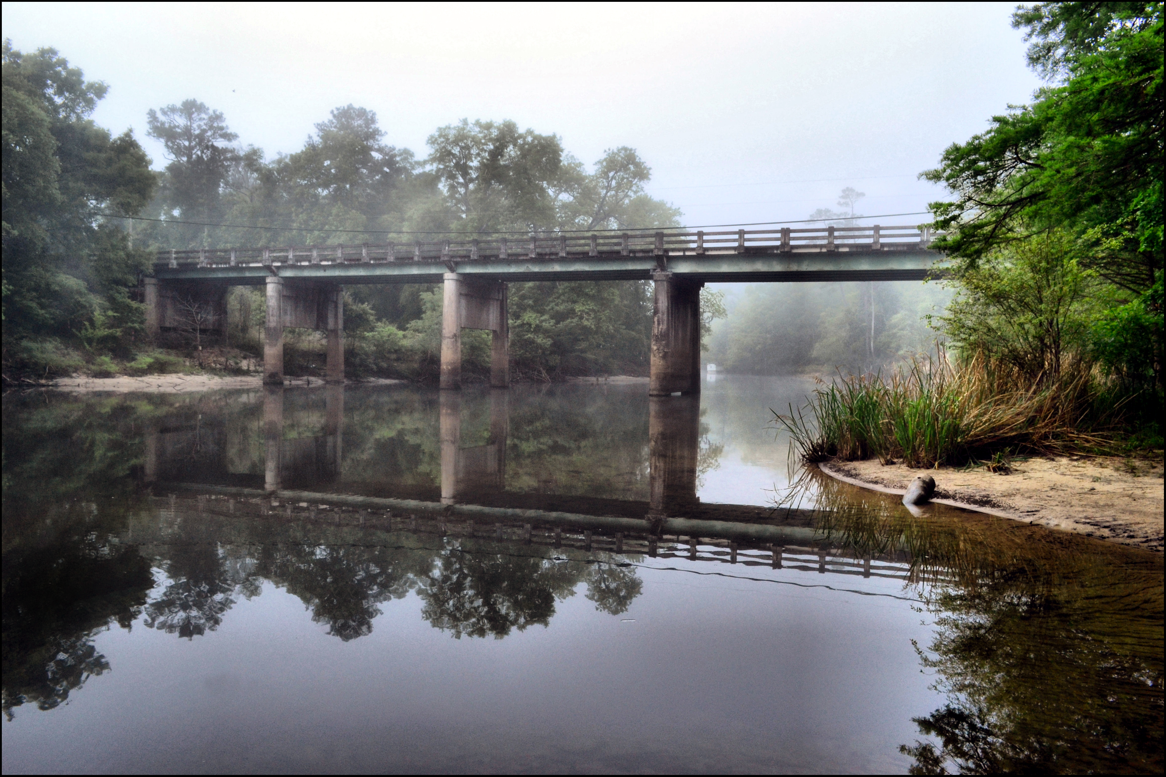
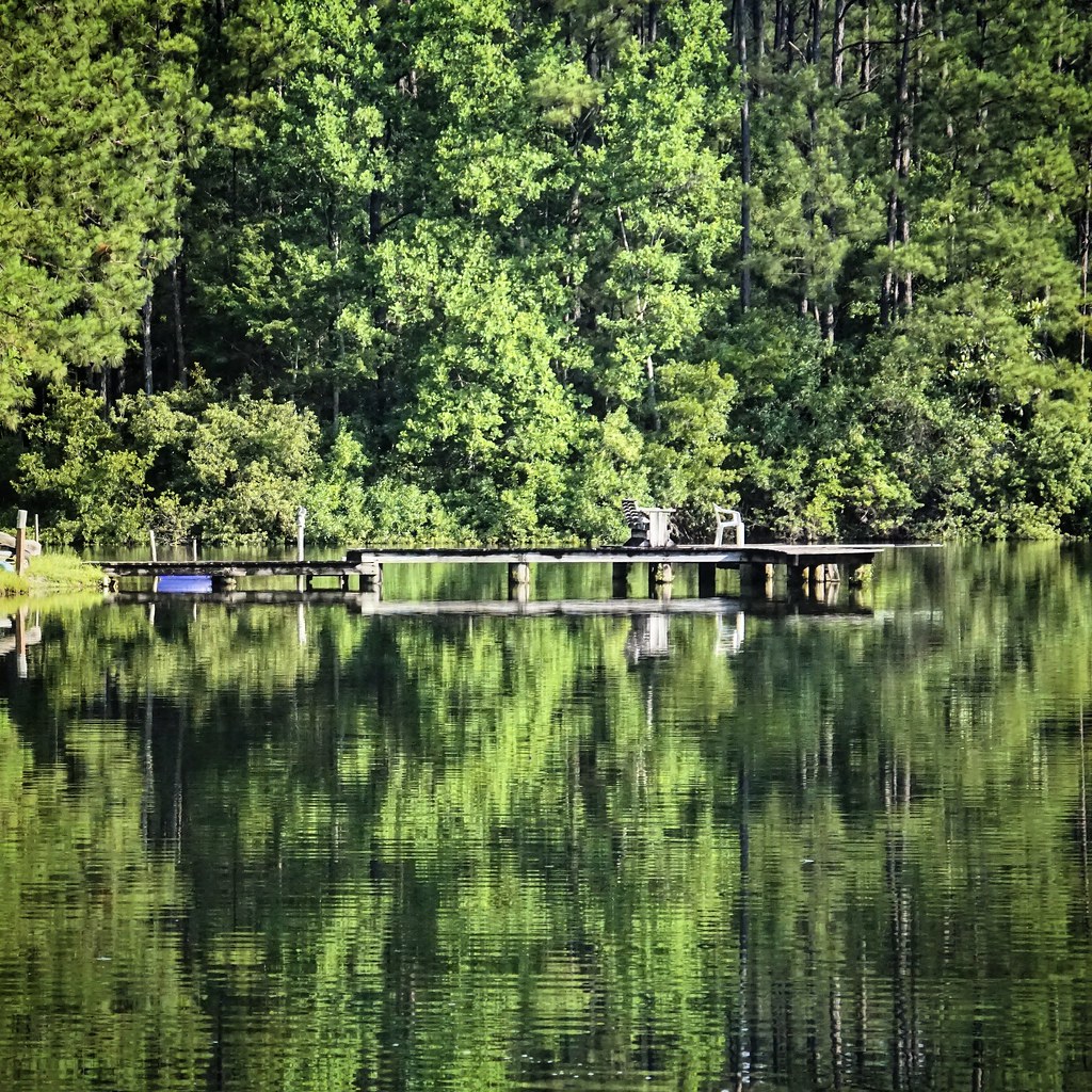
MORNING ON THE CHIPOLA RIVER
Brenda's Bog on CR 287

Look and Tremble Falls
2016-05-30 18.15.06

2016-05-30 12.30.21

2016-05-30 12.30.13_1

On The Road Again

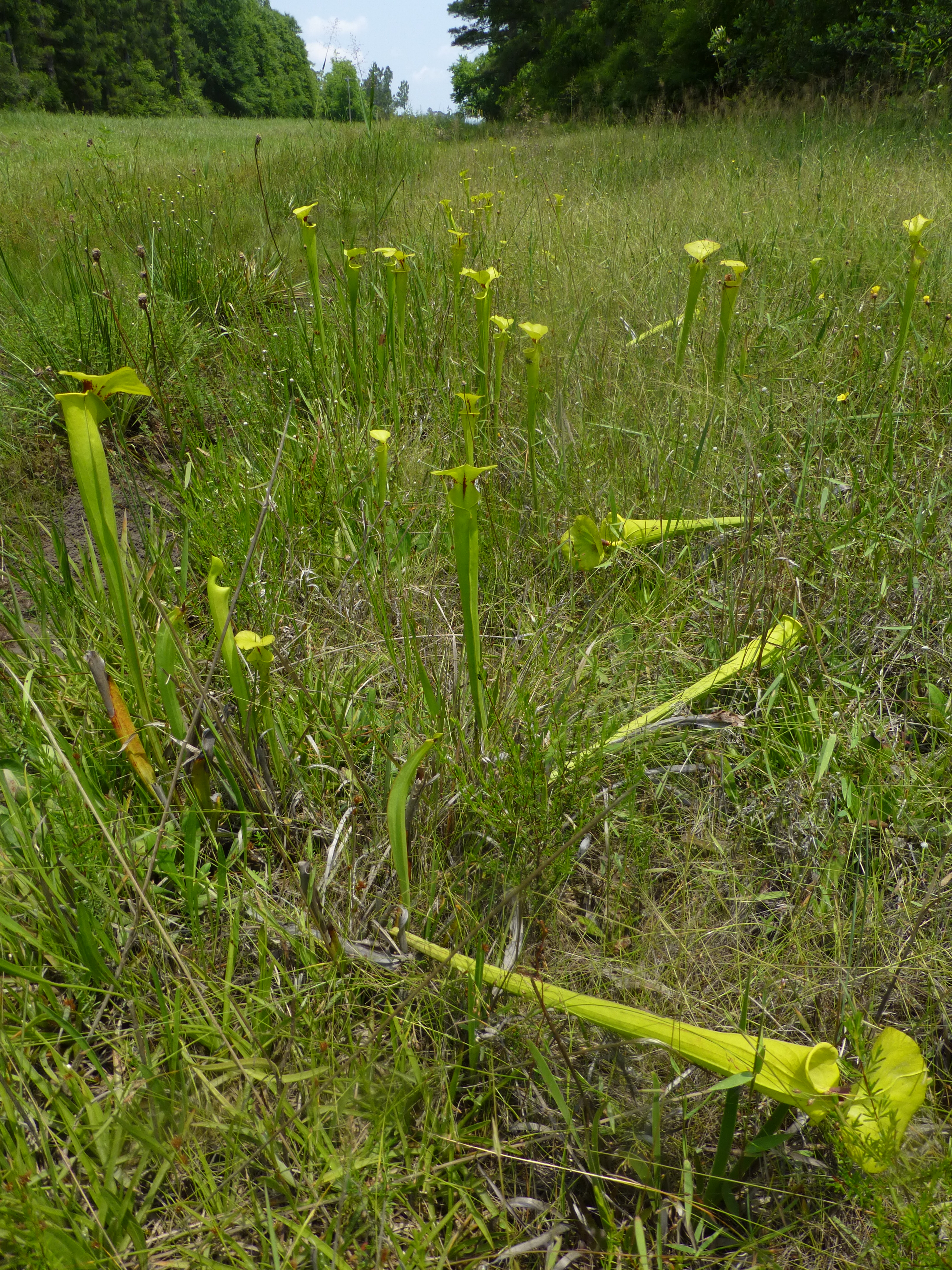
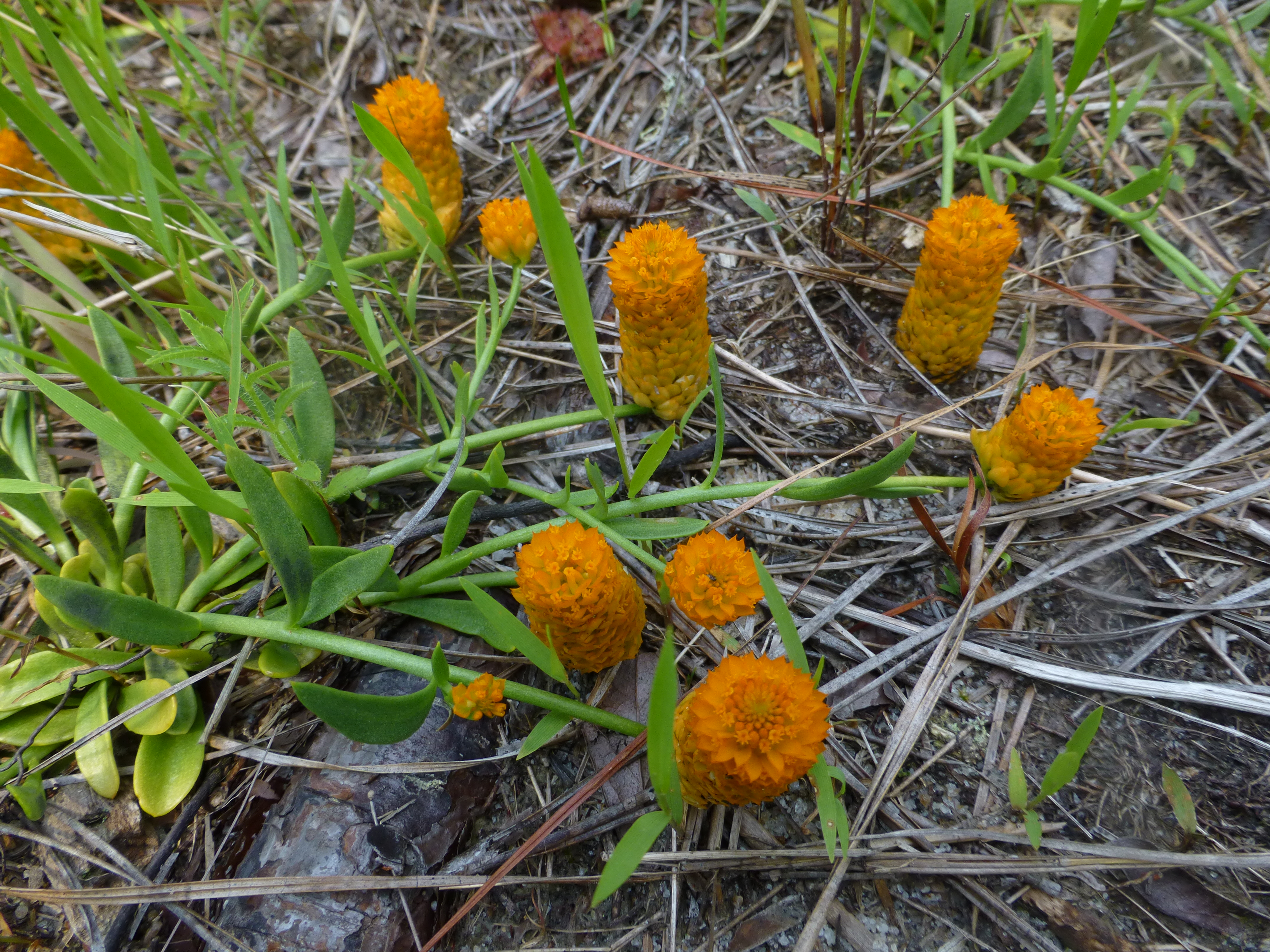
Parrot pitcher plants

2016-05-31 09.41.02
2016-05-30 18.16.32
2016-05-30 08.57.14_1

Richards Cemetery Marker Altha FL

Calhoun County wildflower areas

Karen MacClendon at Brenda's Bog

Brenda's Bog on CR 287
Brenda's Bog on CR 287

Broad Branch area

Broad Branch area

Broad Branch area

Broad Branch area

Broad Branch area
Broad Branch area

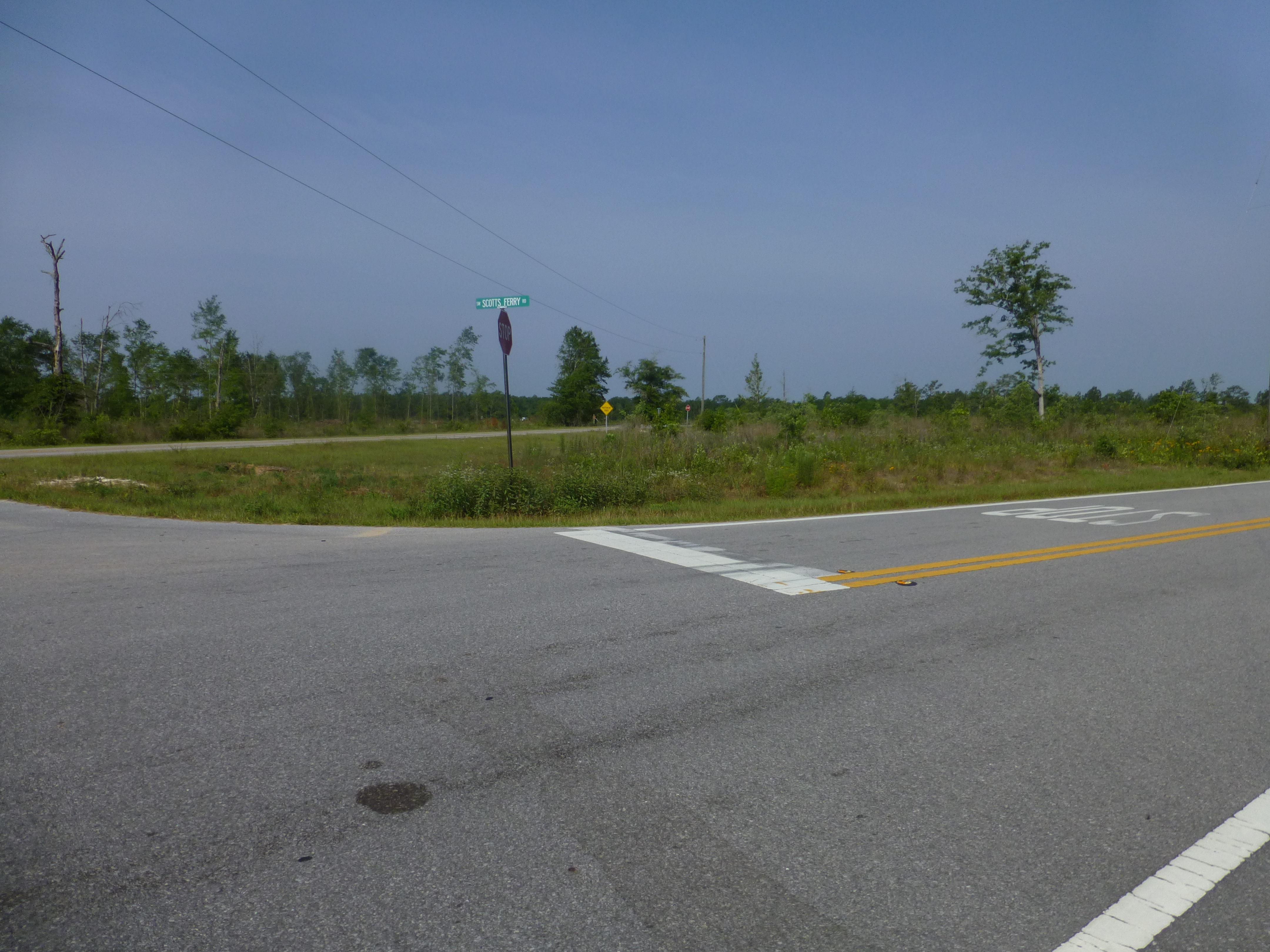
CR 392

Clouds greet our return to South Florida
Topographic Map of FL-20, Clarksville, FL, USA
Find elevation by address:

Places near FL-20, Clarksville, FL, USA:
Clarksville
22131 Nw Whitewater Grade
FL-73, Altha, FL, USA
NW County Road 73b, Altha, FL, USA
Chipola
21814 Fl-71
Ashley Shiver Rd NW, Altha, FL, USA
Main St, Altha, FL, USA
Altha
Florida 71
Petunia Road
Northwest Shirley Lane
23588 Lamont Rd
12610 Webber Rd
Pine Lake Rv Park
Railroad Ave, Fountain, FL, USA
Fountain
Florida Ranchos
12124 Burke Rd
US-, Youngstown, FL, USA
Recent Searches:
- Elevation of Vista Blvd, Sparks, NV, USA
- Elevation of 15th Ave SE, St. Petersburg, FL, USA
- Elevation of Beall Road, Beall Rd, Florida, USA
- Elevation of Leguwa, Nepal
- Elevation of County Rd, Enterprise, AL, USA
- Elevation of Kolchuginsky District, Vladimir Oblast, Russia
- Elevation of Shustino, Vladimir Oblast, Russia
- Elevation of Lampiasi St, Sarasota, FL, USA
- Elevation of Elwyn Dr, Roanoke Rapids, NC, USA
- Elevation of Congressional Dr, Stevensville, MD, USA