Elevation of Altha, FL, USA
Location: United States > Florida > Calhoun County >
Longitude: -85.127144
Latitude: 30.5704721
Elevation: 63m / 207feet
Barometric Pressure: 101KPa
Elevation Map:
Satellite Map:
Related Photos:
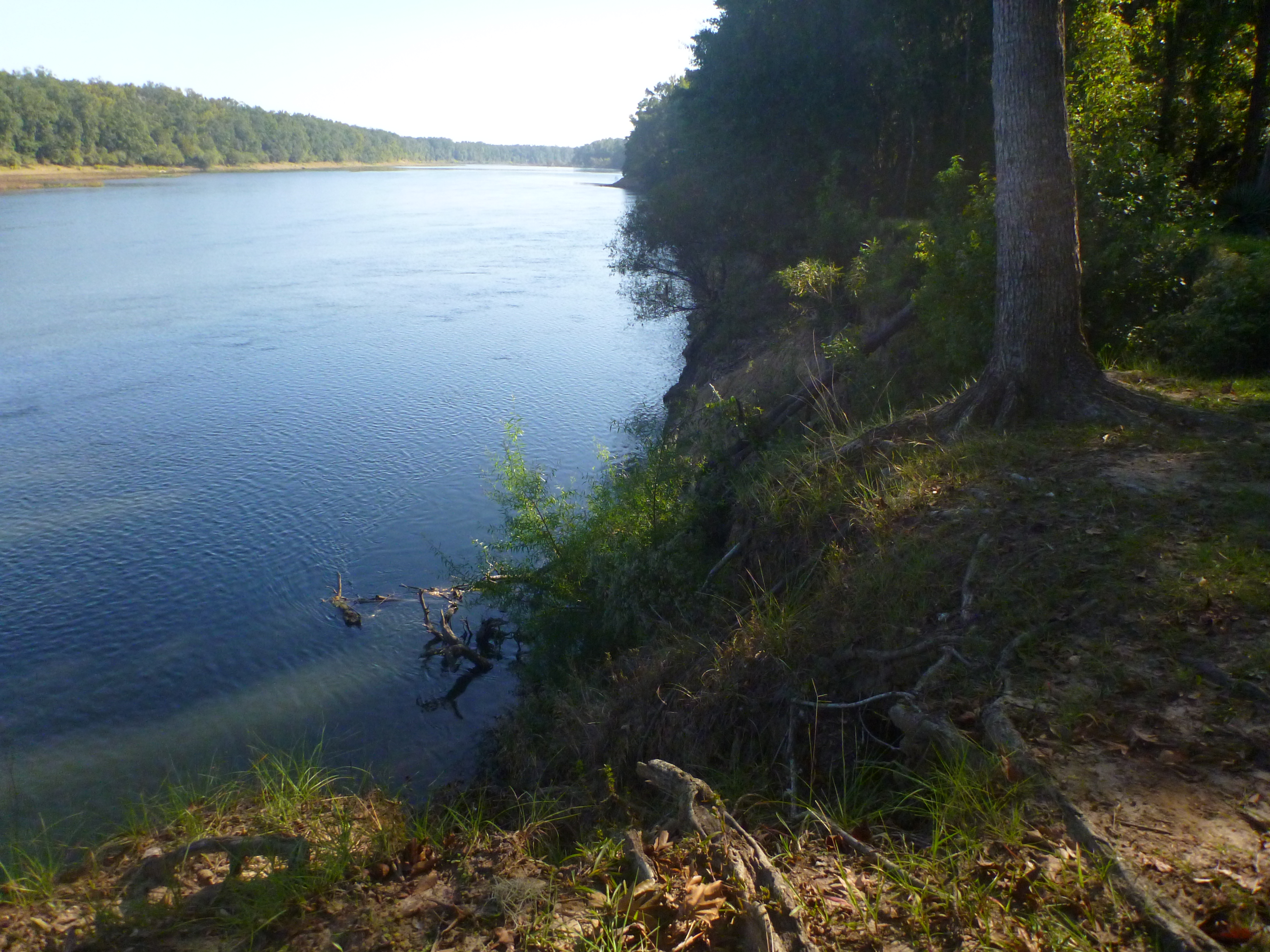
The view from Red's Landing

2009-07-26 14-27-00 - 0149
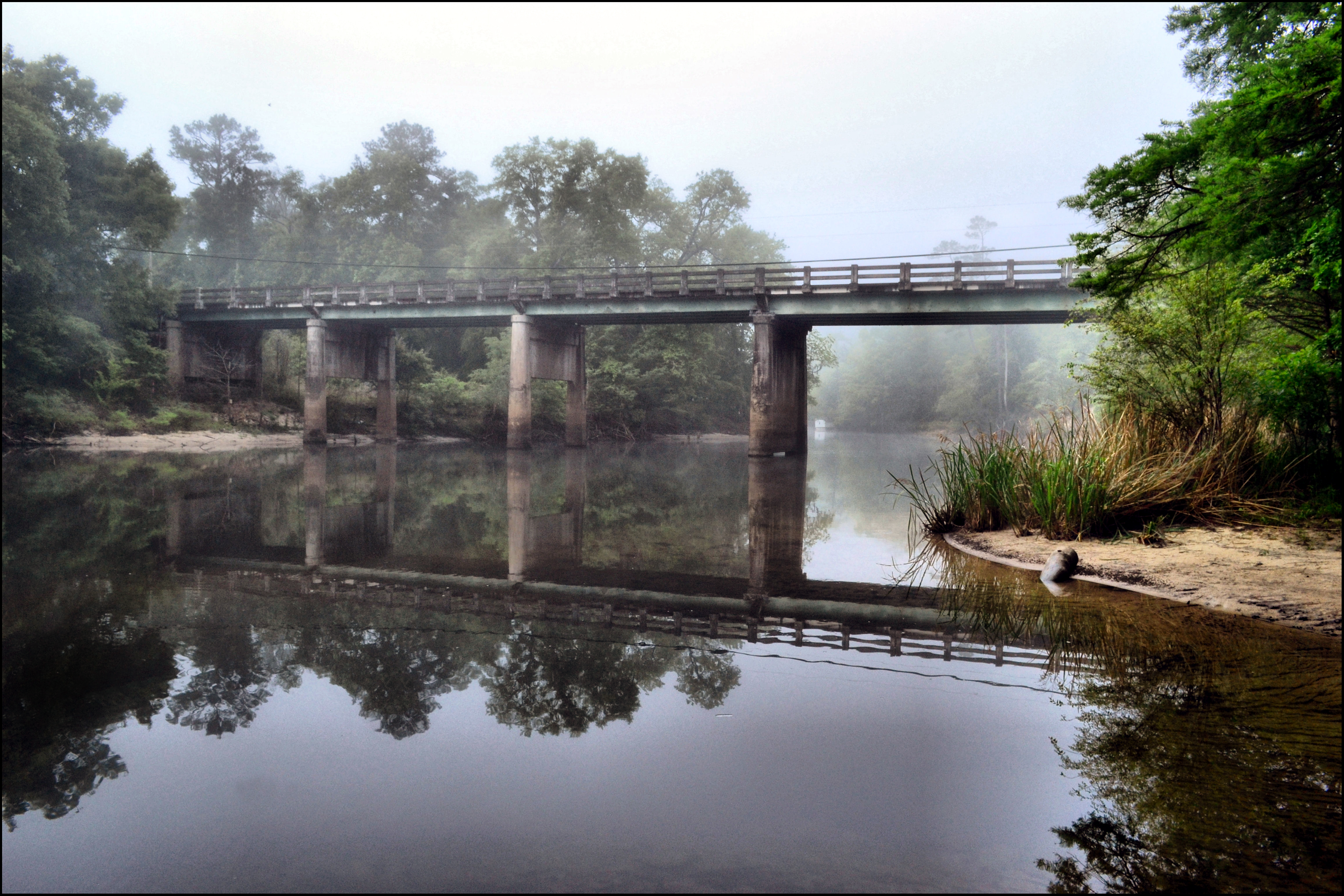
MORNING ON THE CHIPOLA RIVER

2009-07-12 11-32-23 - 0022

2009-07-26 13-52-10 - 0112
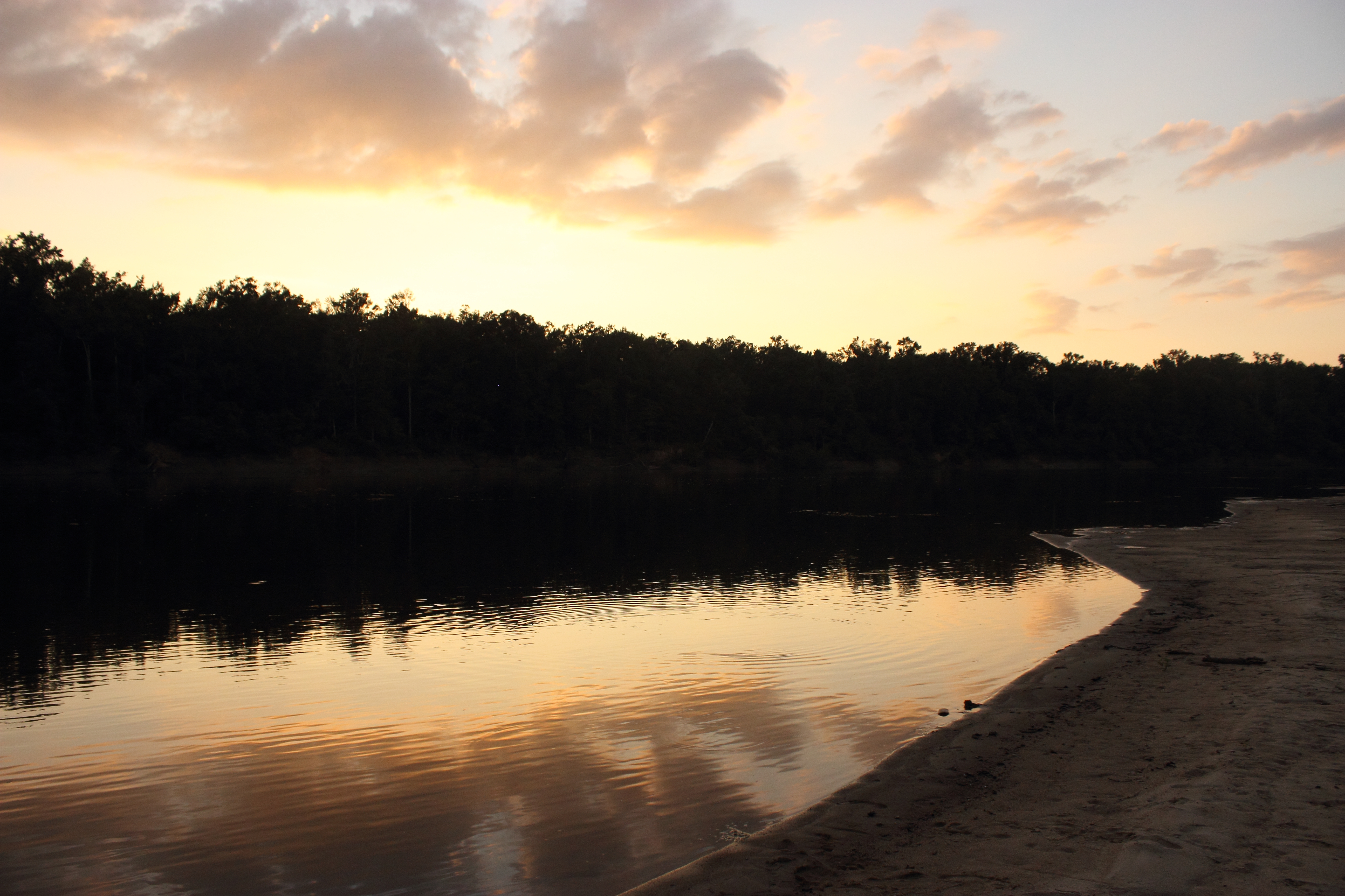
Sunset on the Apalachicola River

2009-07-12 12-07-55 - 0031

2009-07-12 11-54-12 - 0024

2009-07-26 15-00-32 - 0164
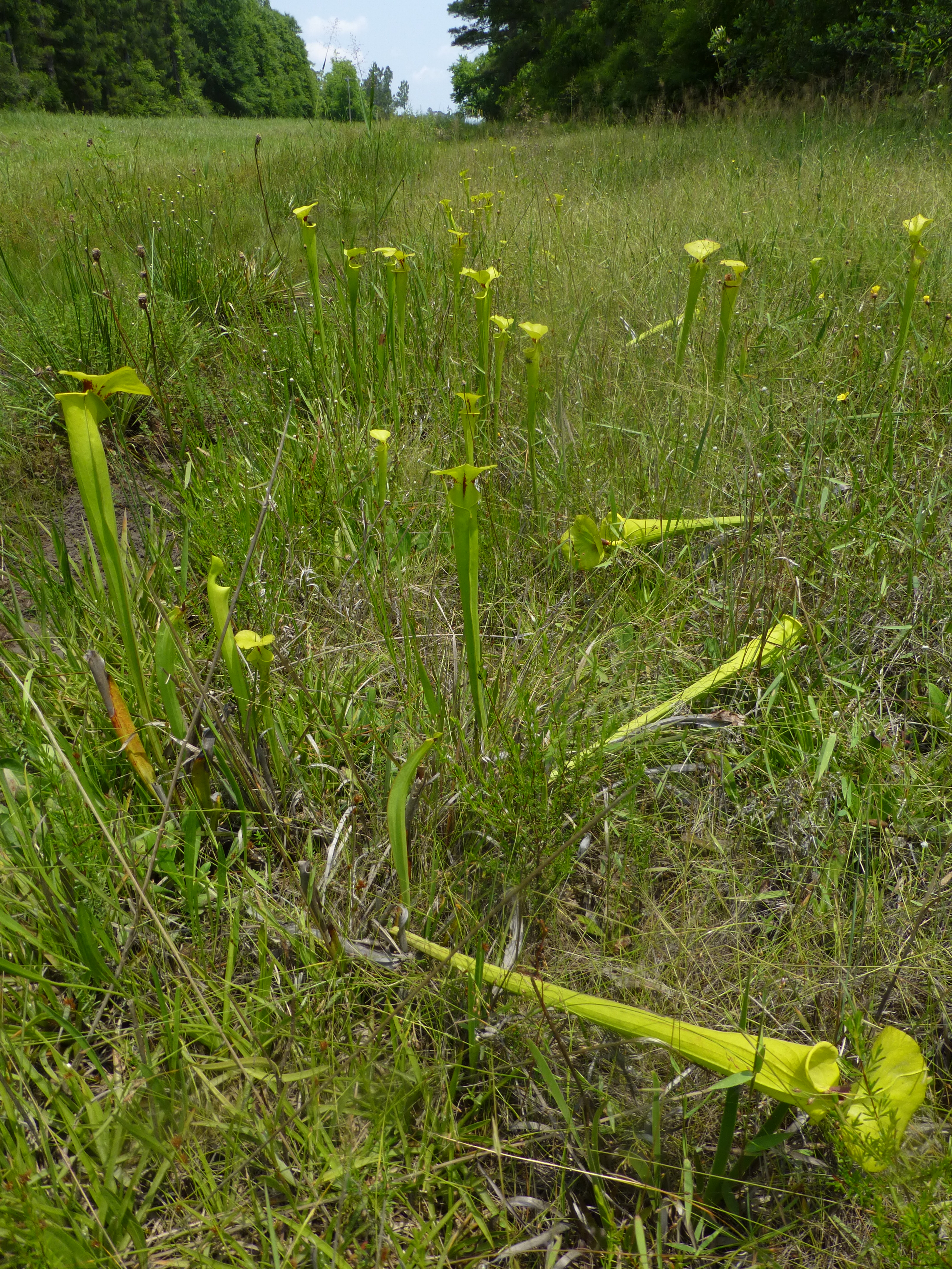
Brenda's Bog on CR 287
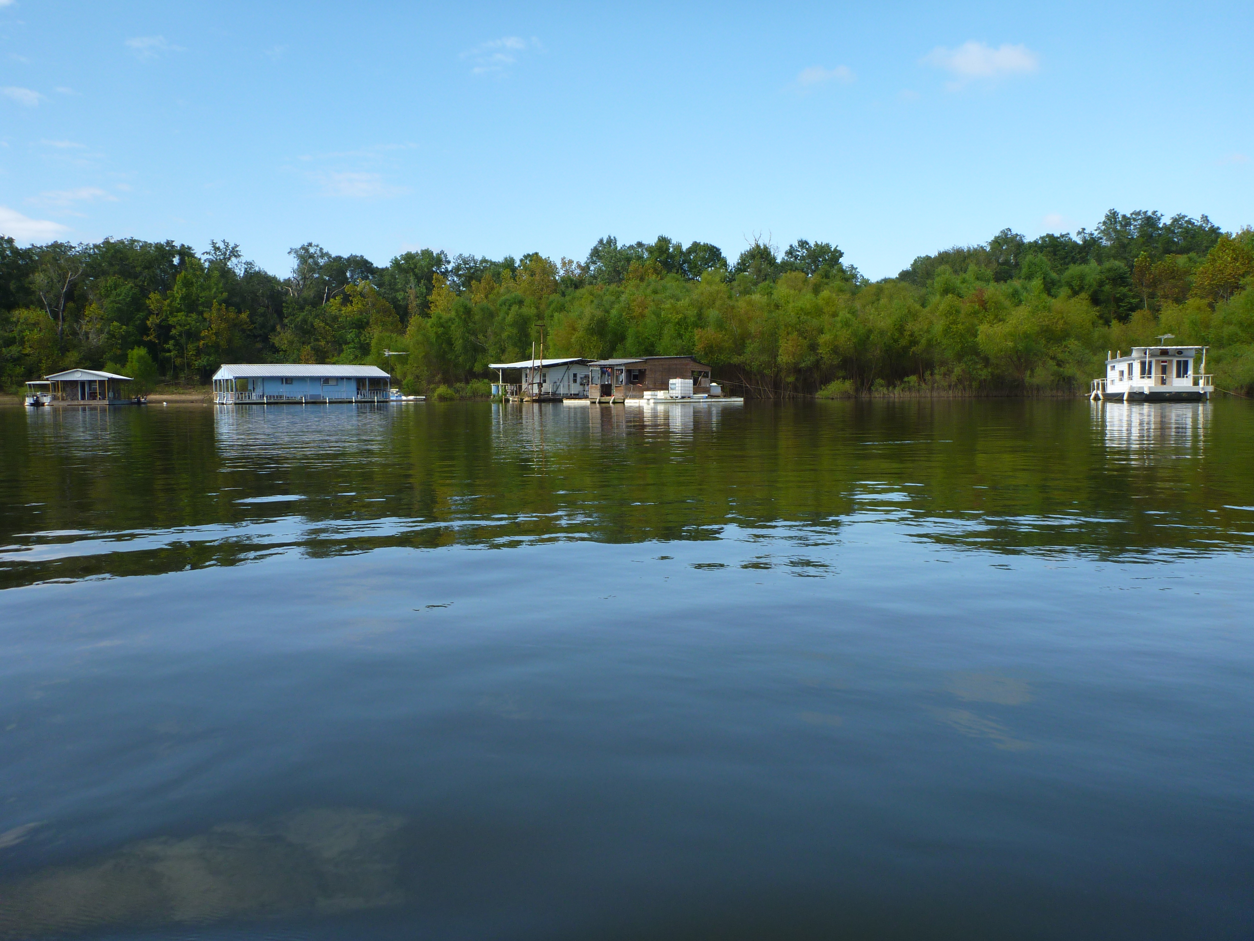
Houseboat gathering on the Apalachicola River

Look and Tremble Falls

A roadside garden!

2009-07-26 14-54-26 - 0159

2009-07-12 12-02-13 - 0028

Torreya Rock Bluff_1567_8_9_fused Clarity

Torreya Rock Bluff_1567_8_9_fused

Torreya Rock Bluff_PS_HDR2

Torreya Rock Bluff_1567_8_9_fused Clarity

Torreya Rock Bluff_1567_8_9_fused

Torreya Rock Bluff_PS_HDR2
Topographic Map of Altha, FL, USA
Find elevation by address:

Places in Altha, FL, USA:
Main St, Altha, FL, USA
FL-73, Altha, FL, USA
FL-71, Altha, FL, USA
Barton Cemetary Rd, Altha, FL, USA
Florida 71
Chipola
Places near Altha, FL, USA:
Main St, Altha, FL, USA
Florida 71
NW County Road 73b, Altha, FL, USA
Chipola
Ashley Shiver Rd NW, Altha, FL, USA
21814 Fl-71
FL-73, Altha, FL, USA
22131 Nw Whitewater Grade
Clarksville
FL-20, Clarksville, FL, USA
Petunia Road
Northwest Shirley Lane
23588 Lamont Rd
Pine Lake Rv Park
21622 Mudge Rd
11922 San Trail Rd
12610 Webber Rd
12114 Owenwood Rd
Railroad Ave, Fountain, FL, USA
Fountain
Recent Searches:
- Elevation of Elwyn Dr, Roanoke Rapids, NC, USA
- Elevation of Congressional Dr, Stevensville, MD, USA
- Elevation of Bellview Rd, McLean, VA, USA
- Elevation of Stage Island Rd, Chatham, MA, USA
- Elevation of Shibuya Scramble Crossing, 21 Udagawacho, Shibuya City, Tokyo -, Japan
- Elevation of Jadagoniai, Kaunas District Municipality, Lithuania
- Elevation of Pagonija rock, Kranto 7-oji g. 8"N, Kaunas, Lithuania
- Elevation of Co Rd 87, Jamestown, CO, USA
- Elevation of Tenjo, Cundinamarca, Colombia
- Elevation of Côte-des-Neiges, Montreal, QC H4A 3J6, Canada