Elevation of Clarksville, FL, USA
Location: United States > Florida > Calhoun County >
Longitude: -85.185893
Latitude: 30.4366765
Elevation: 36m / 118feet
Barometric Pressure: 101KPa
Elevation Map:
Satellite Map:
Related Photos:
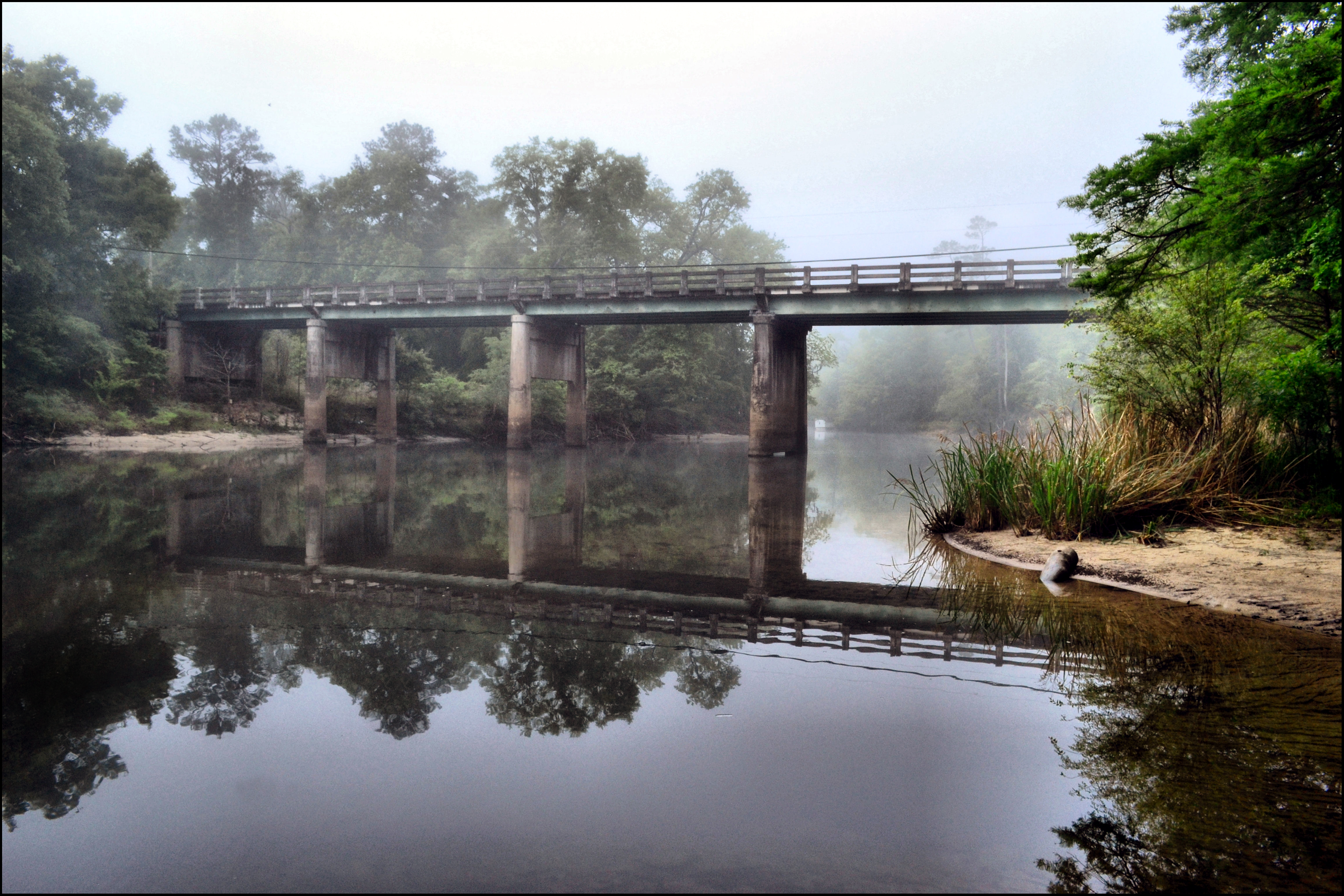
MORNING ON THE CHIPOLA RIVER

On The Road Again
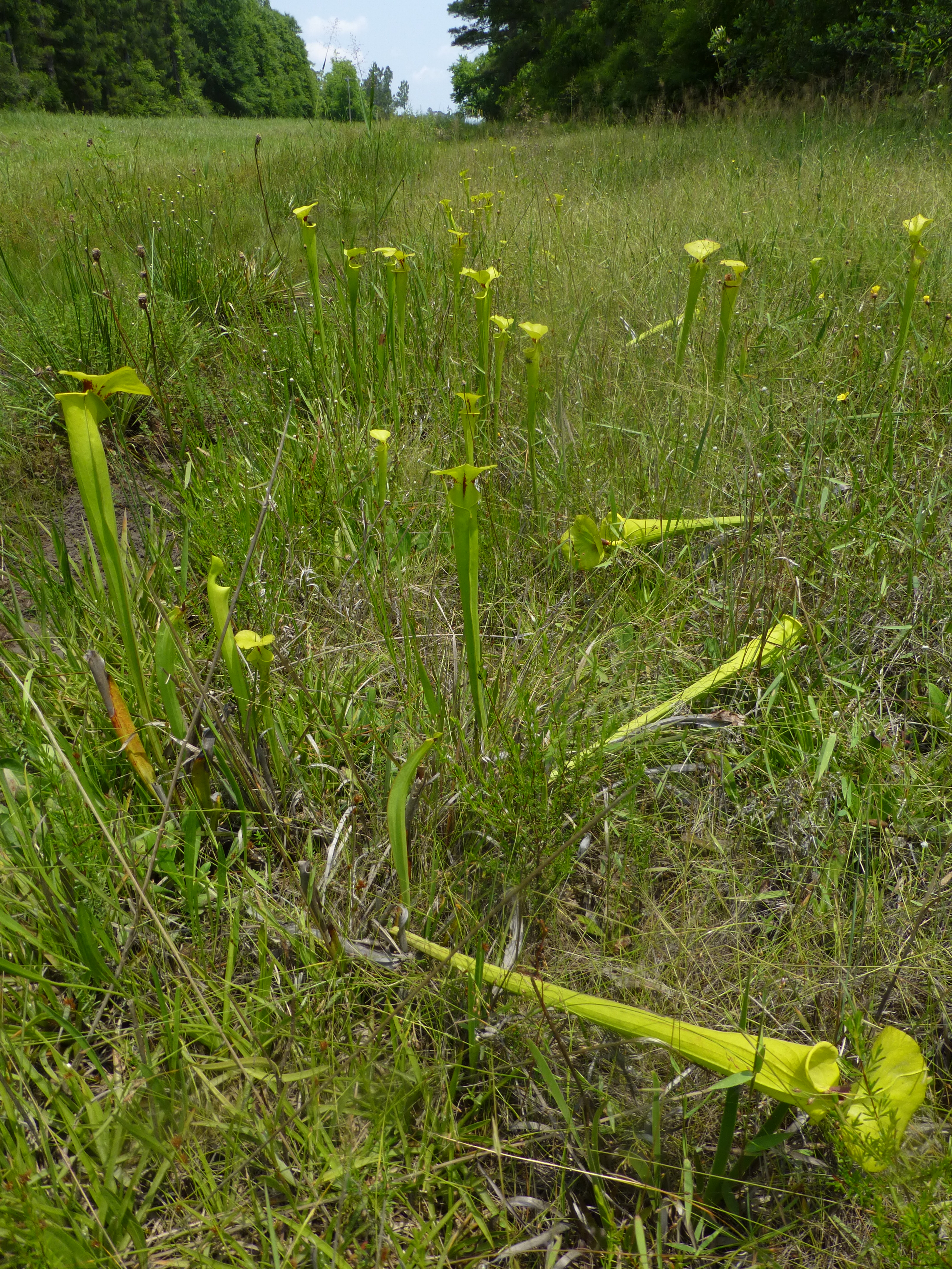
Brenda's Bog on CR 287

Look and Tremble Falls

Monarch caterpillar

#nofilter #apalachicolaNationalForest I wander what sights my #Jeep will bring me to this weekend? #jeeplife #jeepweekend #JK #Wrangler #doorsoff #topdown

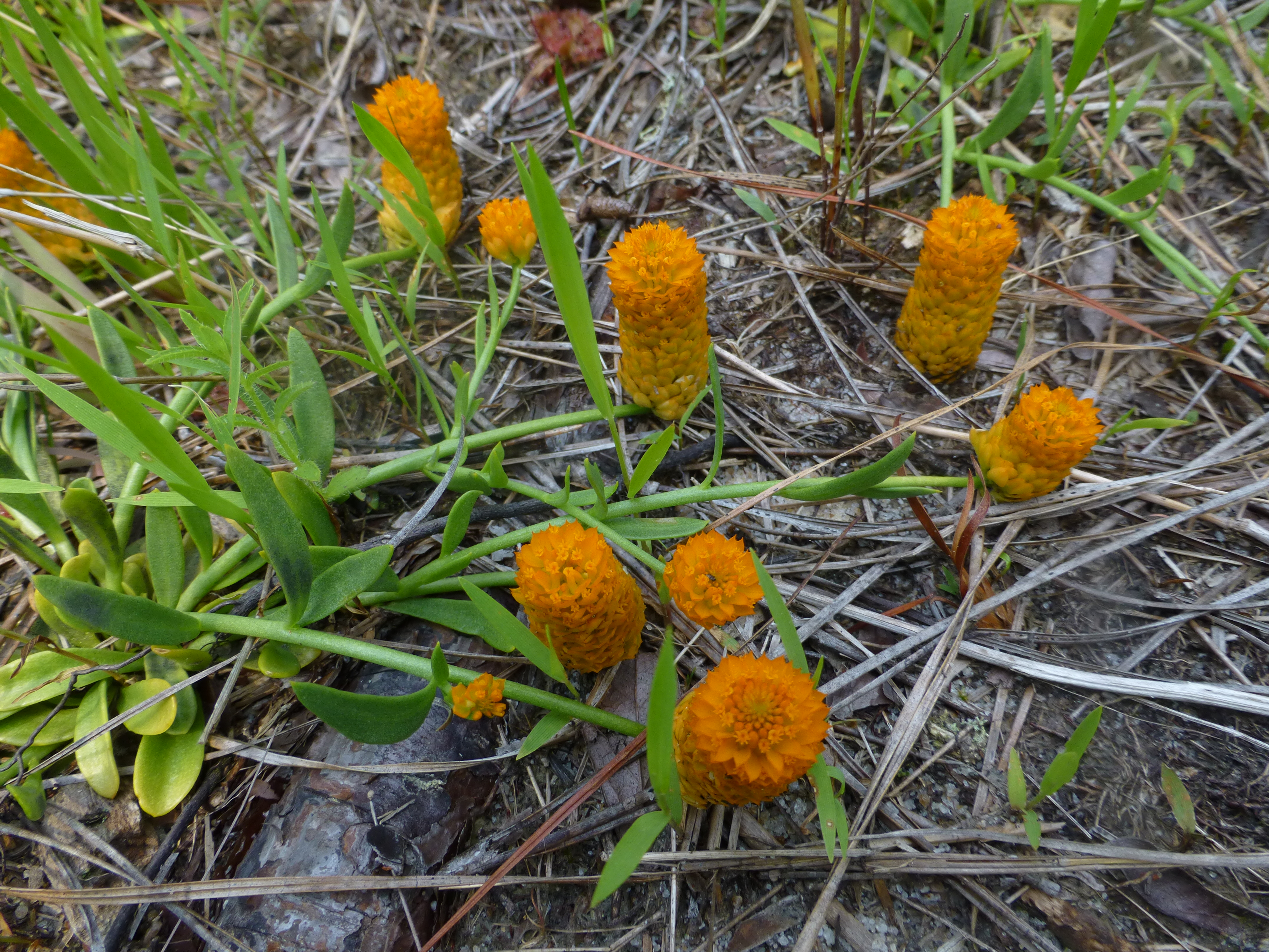
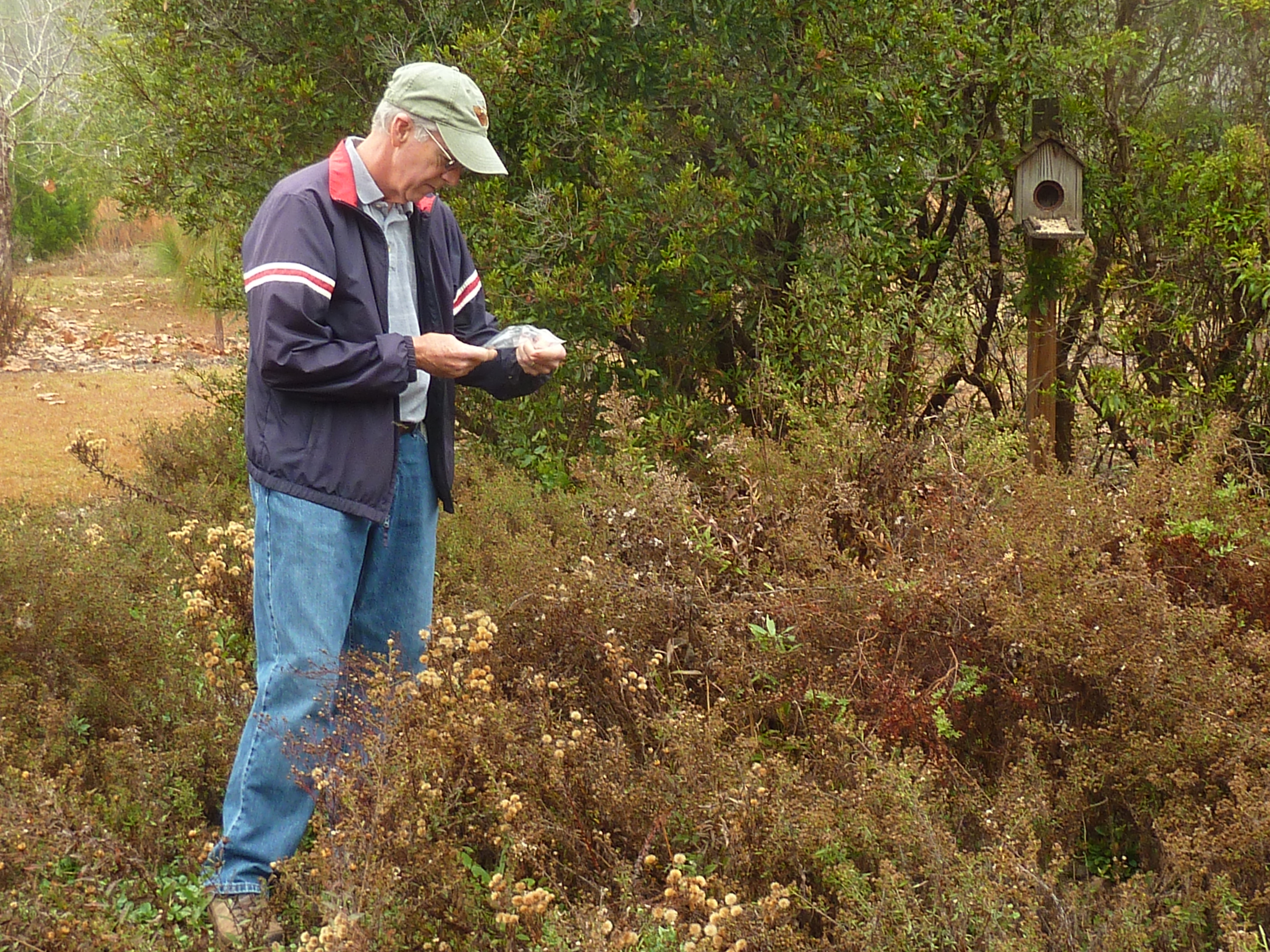
Calhoun County wildflower areas

Karen MacClendon at Brenda's Bog
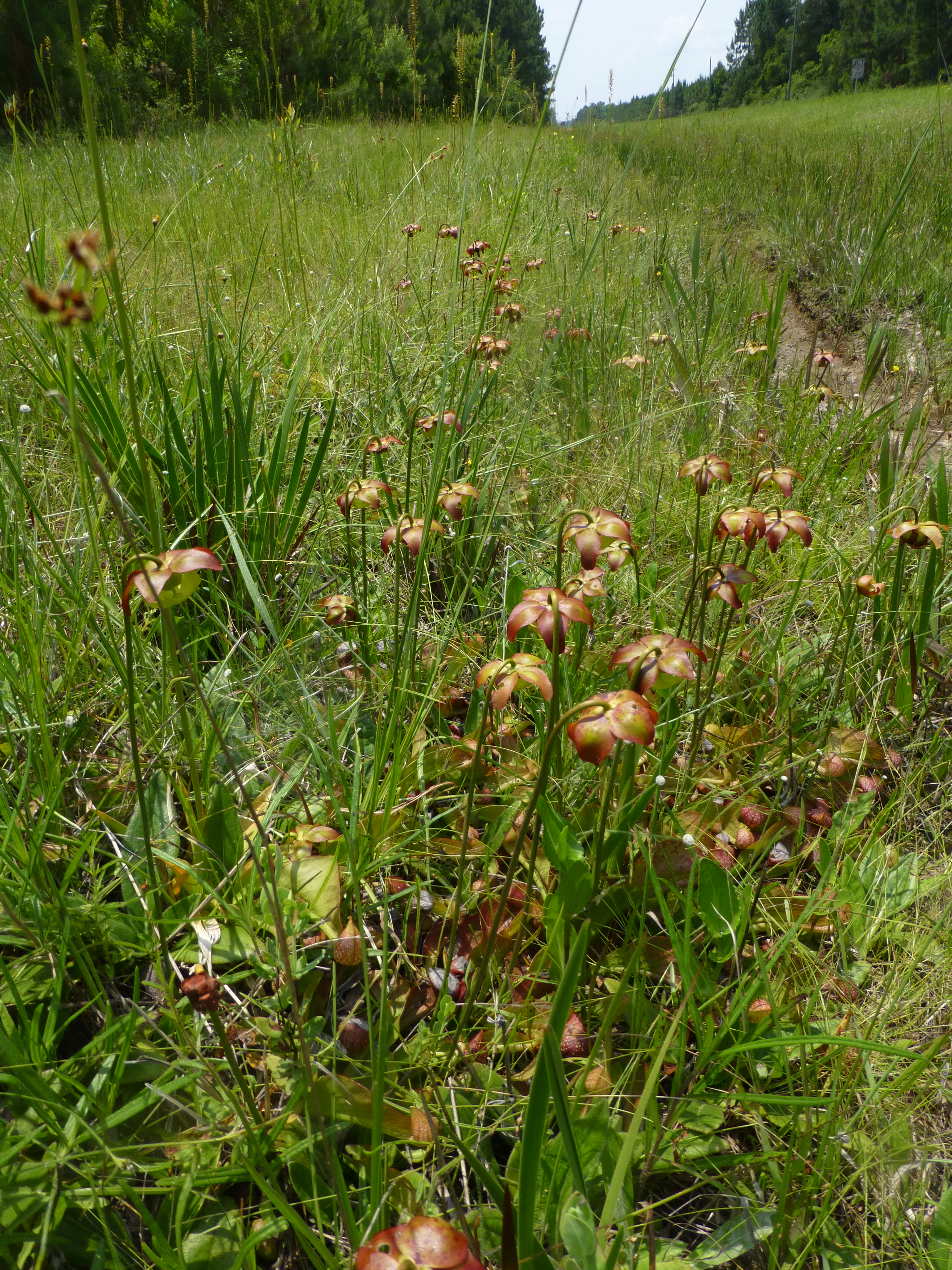
Brenda's Bog on CR 287

Brenda's Bog on CR 287
Brenda's Bog on CR 287
Dan Miller of Trillium Gardens

Purple coneflower

Purple coneflower -- Border

Purple coneflower
Trip to Florida and Alabama
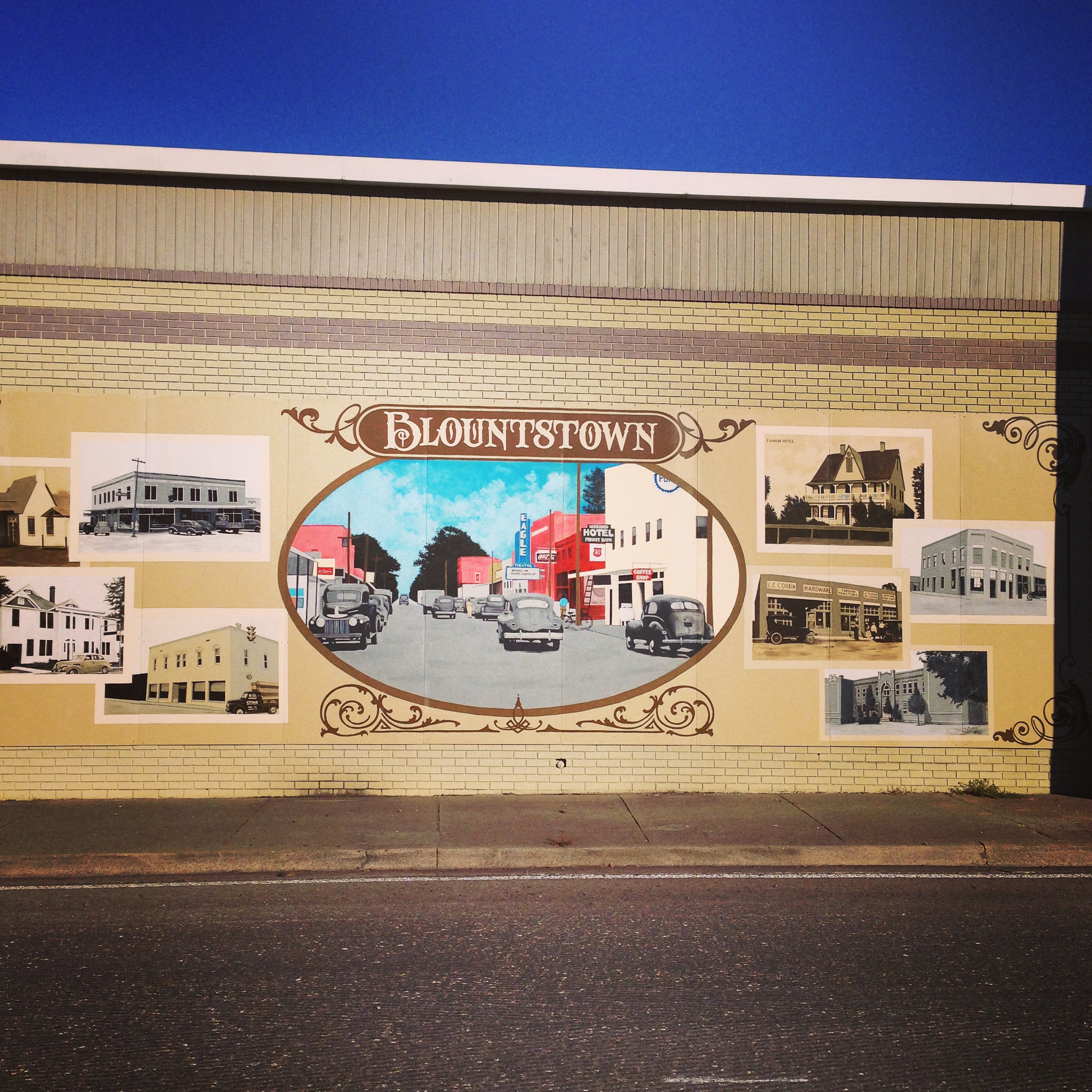
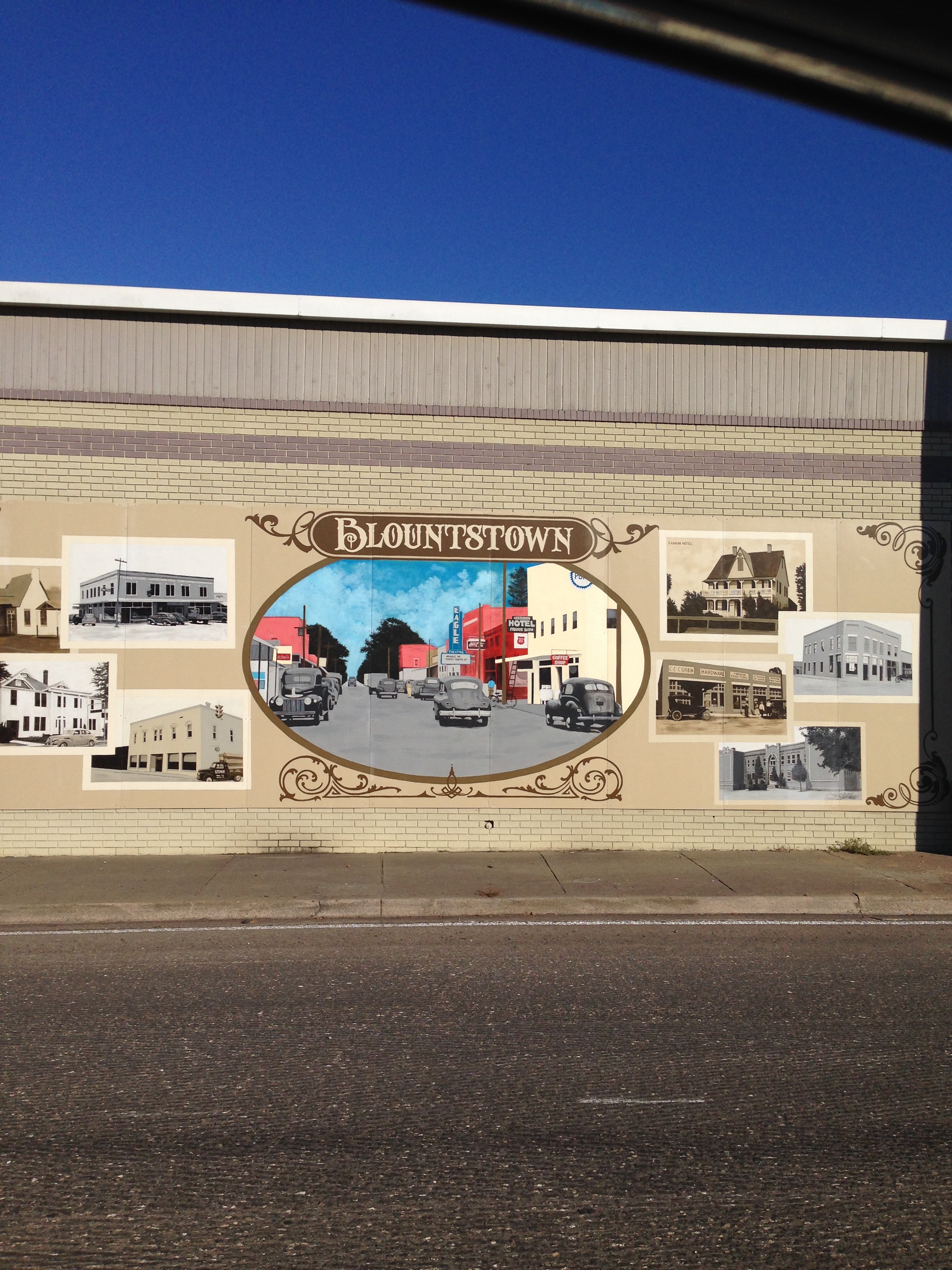
Blountstown, FL Florida
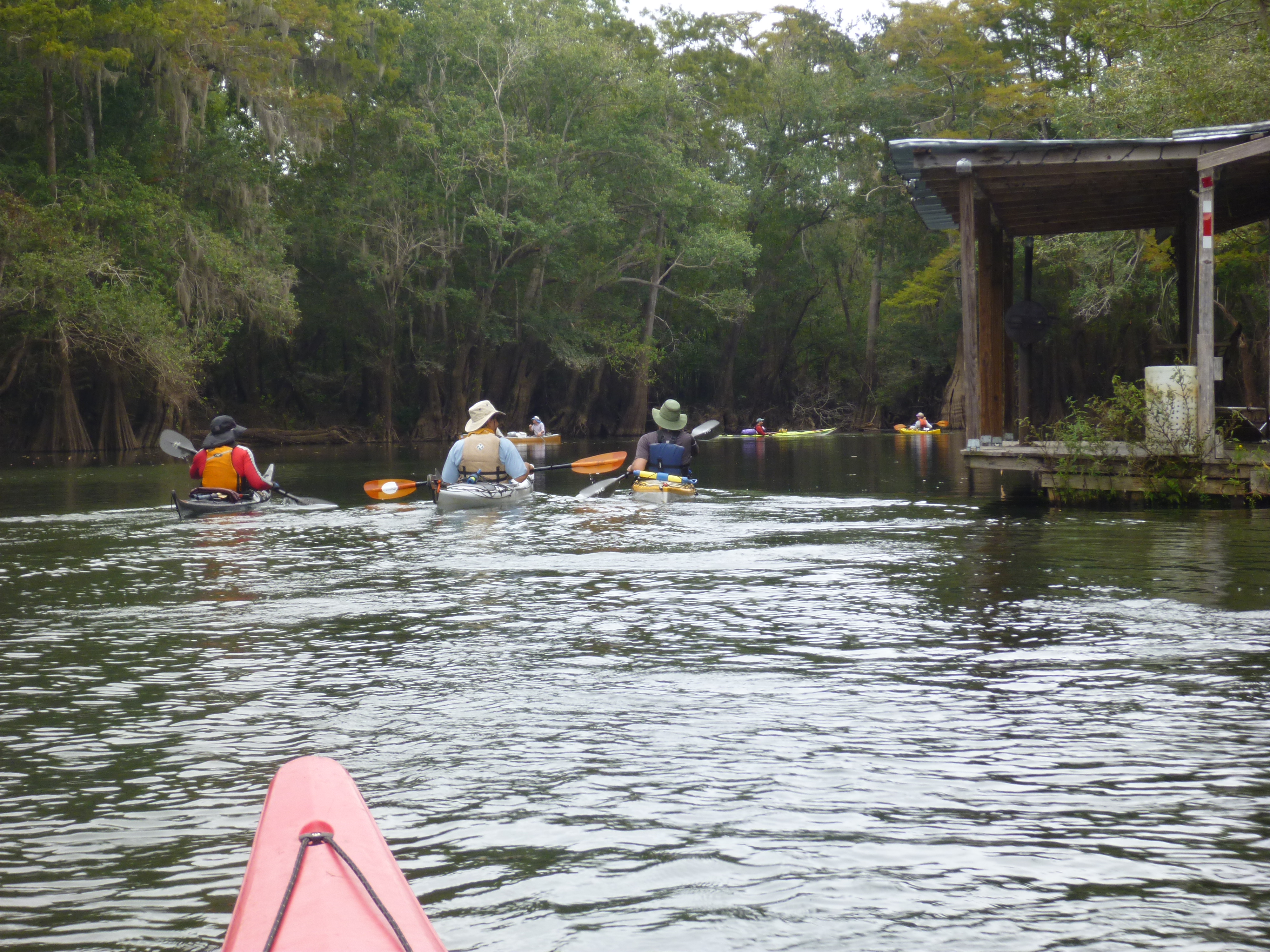
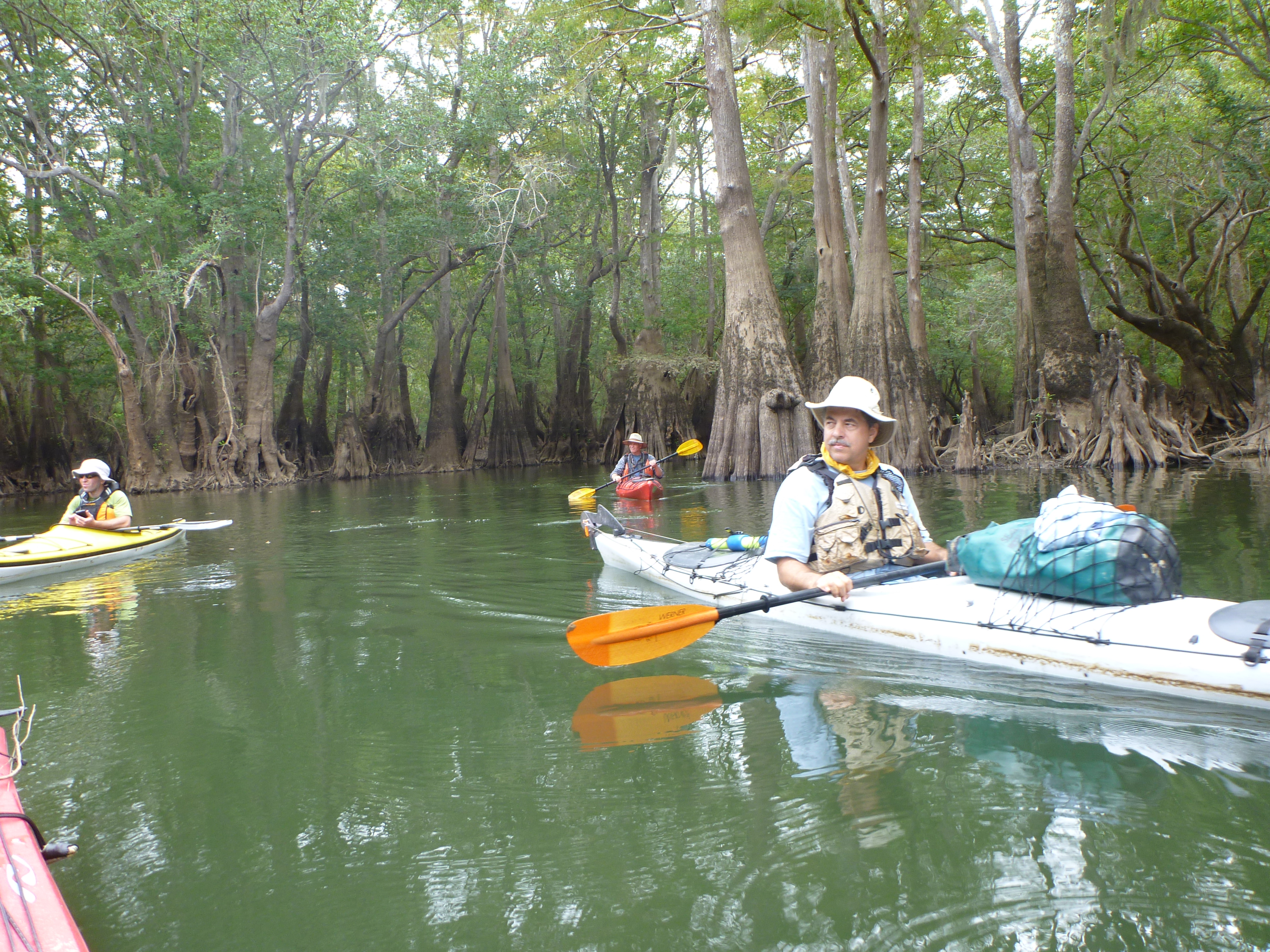
Kayaking into Sutton Lake
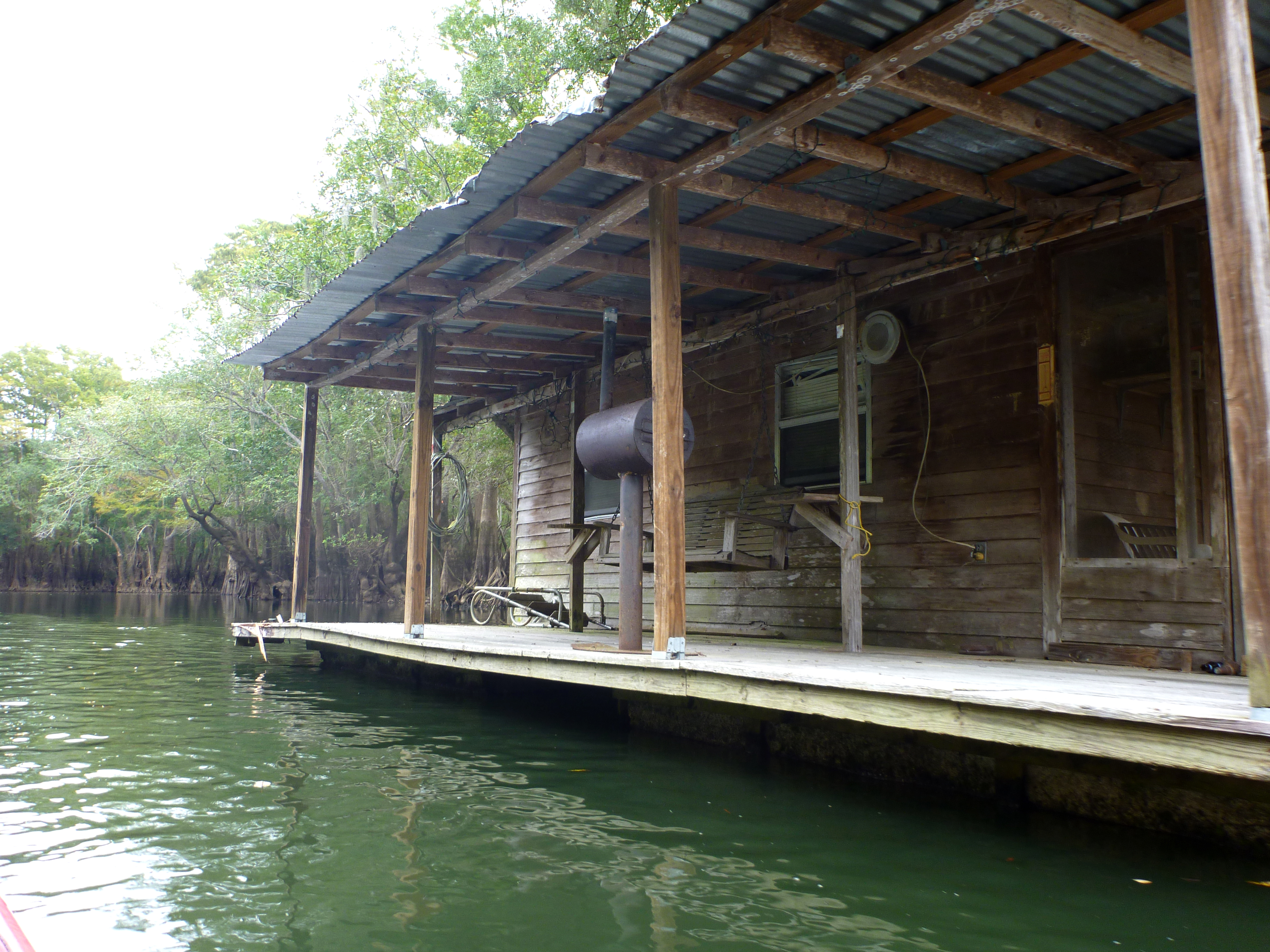
House Boat on Sutton Lake
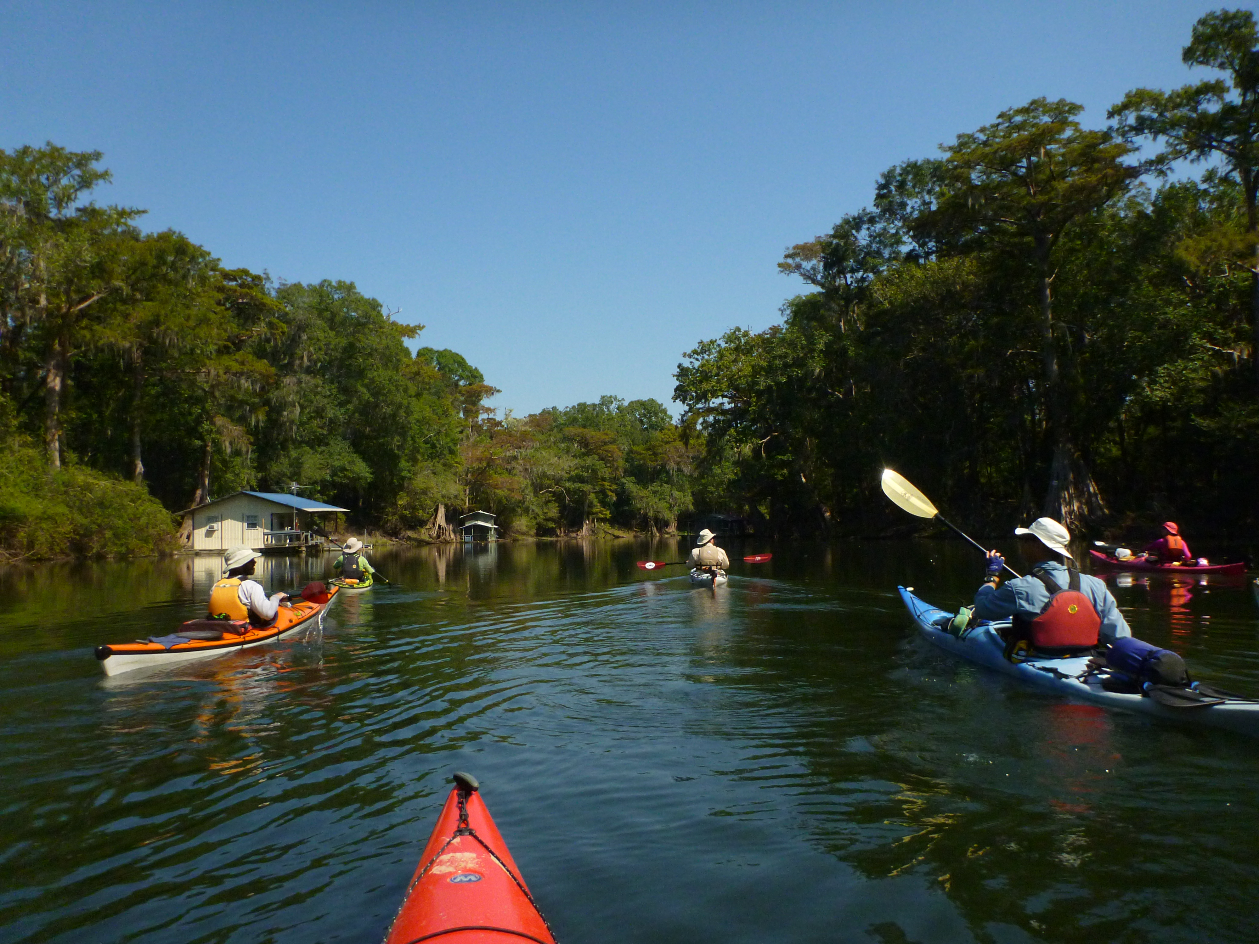
Sutton Lake and Bayou

Entering Sutton lake
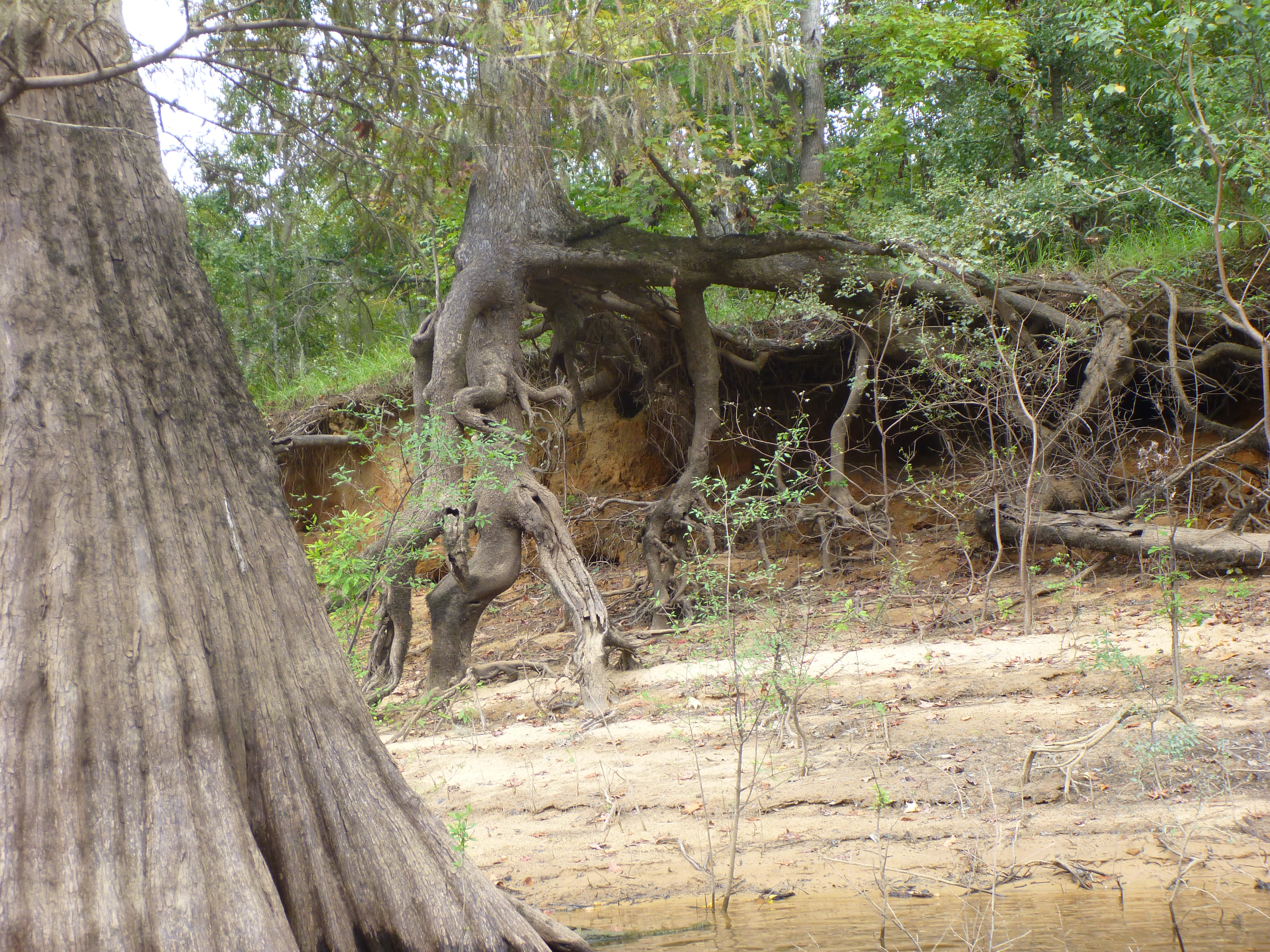
Bank erosion by Sutton Lake
Paddling into Sutton lake

Cypress knee and houseboat
Topographic Map of Clarksville, FL, USA
Find elevation by address:

Places in Clarksville, FL, USA:
Places near Clarksville, FL, USA:
FL-20, Clarksville, FL, USA
22131 Nw Whitewater Grade
21814 Fl-71
Chipola
Ashley Shiver Rd NW, Altha, FL, USA
FL-73, Altha, FL, USA
NW County Road 73b, Altha, FL, USA
Main St, Altha, FL, USA
Altha
Florida 71
Petunia Road
Northwest Shirley Lane
23588 Lamont Rd
12610 Webber Rd
Pine Lake Rv Park
Railroad Ave, Fountain, FL, USA
Fountain
Florida Ranchos
12124 Burke Rd
US-, Youngstown, FL, USA
Recent Searches:
- Elevation of Corso Fratelli Cairoli, 35, Macerata MC, Italy
- Elevation of Tallevast Rd, Sarasota, FL, USA
- Elevation of 4th St E, Sonoma, CA, USA
- Elevation of Black Hollow Rd, Pennsdale, PA, USA
- Elevation of Oakland Ave, Williamsport, PA, USA
- Elevation of Pedrógão Grande, Portugal
- Elevation of Klee Dr, Martinsburg, WV, USA
- Elevation of Via Roma, Pieranica CR, Italy
- Elevation of Tavkvetili Mountain, Georgia
- Elevation of Hartfords Bluff Cir, Mt Pleasant, SC, USA