Elevation of FL-71, Altha, FL, USA
Location: United States > Florida > Calhoun County > Altha >
Longitude: -85.115241
Latitude: 30.499186
Elevation: 36m / 118feet
Barometric Pressure: 101KPa
Elevation Map:
Satellite Map:
Related Photos:

Alum Bluff overlook, Garden of Eden Trail

The Garden of Eden Trail

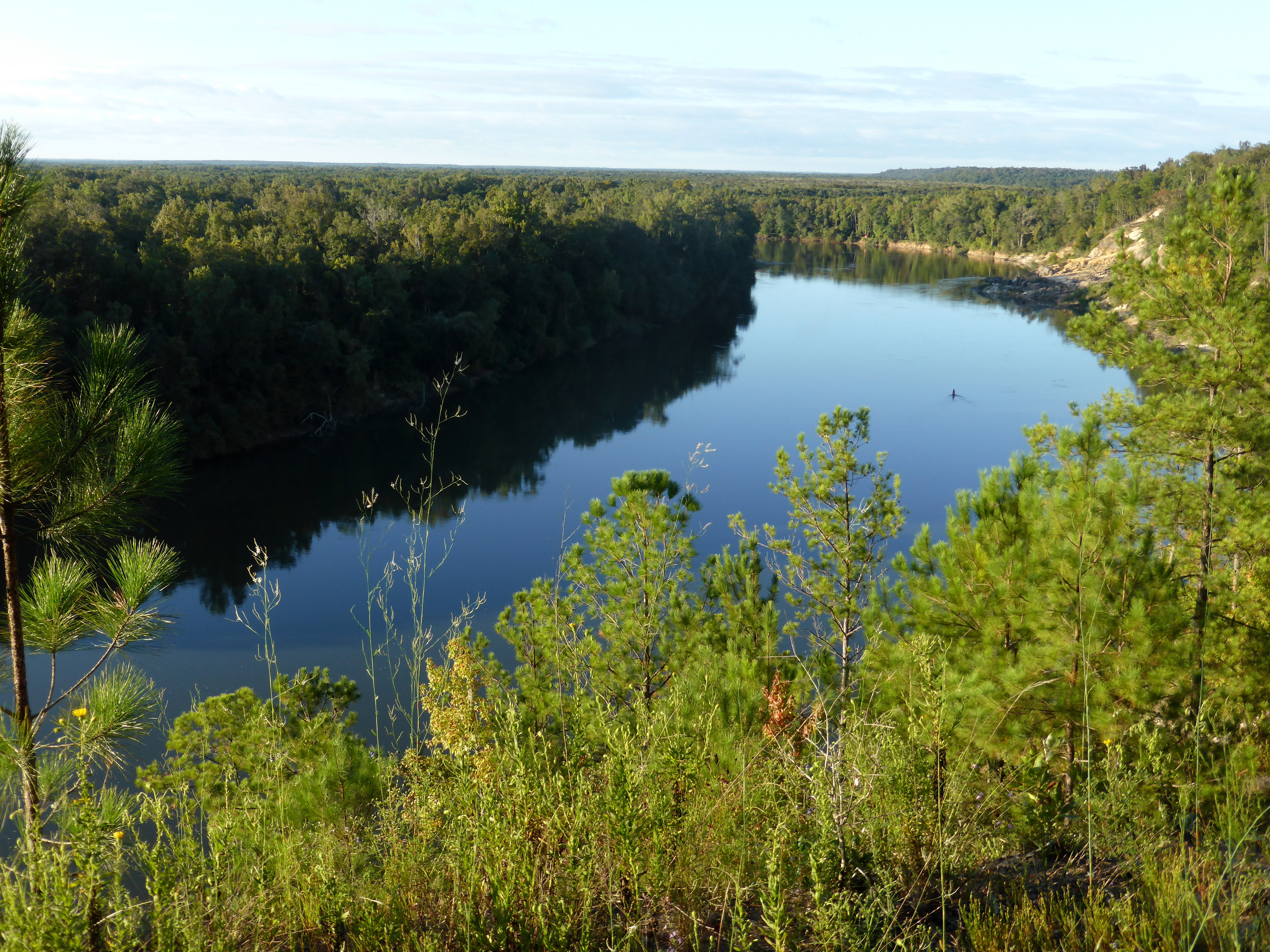
The view from Red's Landing

Apalachicola River

Apalachicola River

MORNING ON THE CHIPOLA RIVER

Florida Yew

Apalachicola River

Sutton Lake
Apalachicola River

Ogeechee Tupelo in Sutton Lake

Kayaking Sutton Lake

Sunset on the Apalachicola River

Yellow buttons

Yellow buttons

Alum Bluff and Sand Bar

Brenda's Bog on CR 287

Alum Bluff landslide debris

Alum Bluff landslide scar

Alum Bluff landslide debris

Kelley Branch, Garden of Eden Trail

Steephead Ravine on the Garden of Eden Trail
Topographic Map of FL-71, Altha, FL, USA
Find elevation by address:

Places near FL-71, Altha, FL, USA:
Ashley Shiver Rd NW, Altha, FL, USA
Chipola
Main St, Altha, FL, USA
Altha
Florida 71
FL-73, Altha, FL, USA
NW County Road 73b, Altha, FL, USA
Clarksville
22131 Nw Whitewater Grade
FL-20, Clarksville, FL, USA
Petunia Road
Northwest Shirley Lane
23588 Lamont Rd
Pine Lake Rv Park
12610 Webber Rd
21622 Mudge Rd
Railroad Ave, Fountain, FL, USA
Fountain
Florida Ranchos
12114 Owenwood Rd
Recent Searches:
- Elevation of Elwyn Dr, Roanoke Rapids, NC, USA
- Elevation of Congressional Dr, Stevensville, MD, USA
- Elevation of Bellview Rd, McLean, VA, USA
- Elevation of Stage Island Rd, Chatham, MA, USA
- Elevation of Shibuya Scramble Crossing, 21 Udagawacho, Shibuya City, Tokyo -, Japan
- Elevation of Jadagoniai, Kaunas District Municipality, Lithuania
- Elevation of Pagonija rock, Kranto 7-oji g. 8"N, Kaunas, Lithuania
- Elevation of Co Rd 87, Jamestown, CO, USA
- Elevation of Tenjo, Cundinamarca, Colombia
- Elevation of Côte-des-Neiges, Montreal, QC H4A 3J6, Canada