Elevation of Fischer Way, Imperial, MO, USA
Location: United States > Missouri > Jefferson County > Windsor Township > Imperial >
Longitude: -90.48086
Latitude: 38.393142
Elevation: 240m / 787feet
Barometric Pressure: 98KPa
Elevation Map:
Satellite Map:
Related Photos:

Cedar Hill Mill - No 2

Cedar Hill Mill - No 1 BW

Sandy Creek Covered Bridge - No 3

Sandy Creek Covered Bridge - No 1

Sandy Creek Covered Bridge - No 2

Belews Creek Chapel - Jefferson County, Missouri

Keeping Tabs on the Garden_DSC0068

Storm on the Mississippi

Anthers on Crown and Stigma Above_DSC8638

Cedar Hill Mill - No. 1

Cedar Hill Mill - No. 3

Cedar Hill Mill - No. 2

Meramec River, near Eureka, Missouri, USA - view at dusk from Route 66 State Park bridge

Stained Glass Window - St. Joseph Catholic Church - Imperial, MO_IMG_2331

Forest 44 Conservation Area, near Valley Park, Missouri, USA - night view of bridge, lit with multiple flashes

Forest 44 Conservation Area, near Valley Park, Missouri, USA - night view of prairie and hill

Forest 44 Conservation Area, near Valley Park, Missouri, USA - night view of grassy path

Forest 44 Conservation Area, near Valley Park, Missouri, USA - night view of trees with orange sky, lit with multiple flashes

Cardinal at Route 66 State Park - No. 1

Bee Tree Park 05 crop

Forest 44 Conservation Area, near Valley Park, Missouri, USA - night view of fenced walkway with orange sky, lit with multiple flashes
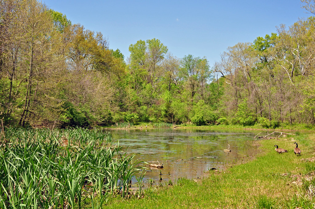
Missouri - Pomme Creek Park

A Peaceful Walk

Saline Valley

Sand Creek

Flooded Meramec River, near Fenton (Misosuri)

Rockford Beach - Big River Dam

Railroad Crossing with tilt-shift effect - City Park - Arnold, MO_P4081528

Forest 44 Conservation Area, near Valley Park, Missouri, USA - open field at dusk

Flower On A Log

Forest 44 Conservation Area, near Valley Park, Missouri, USA - conjuction of moon and planets

MO-141 South from Fenton - Jefferson County, Missouri_P6220563

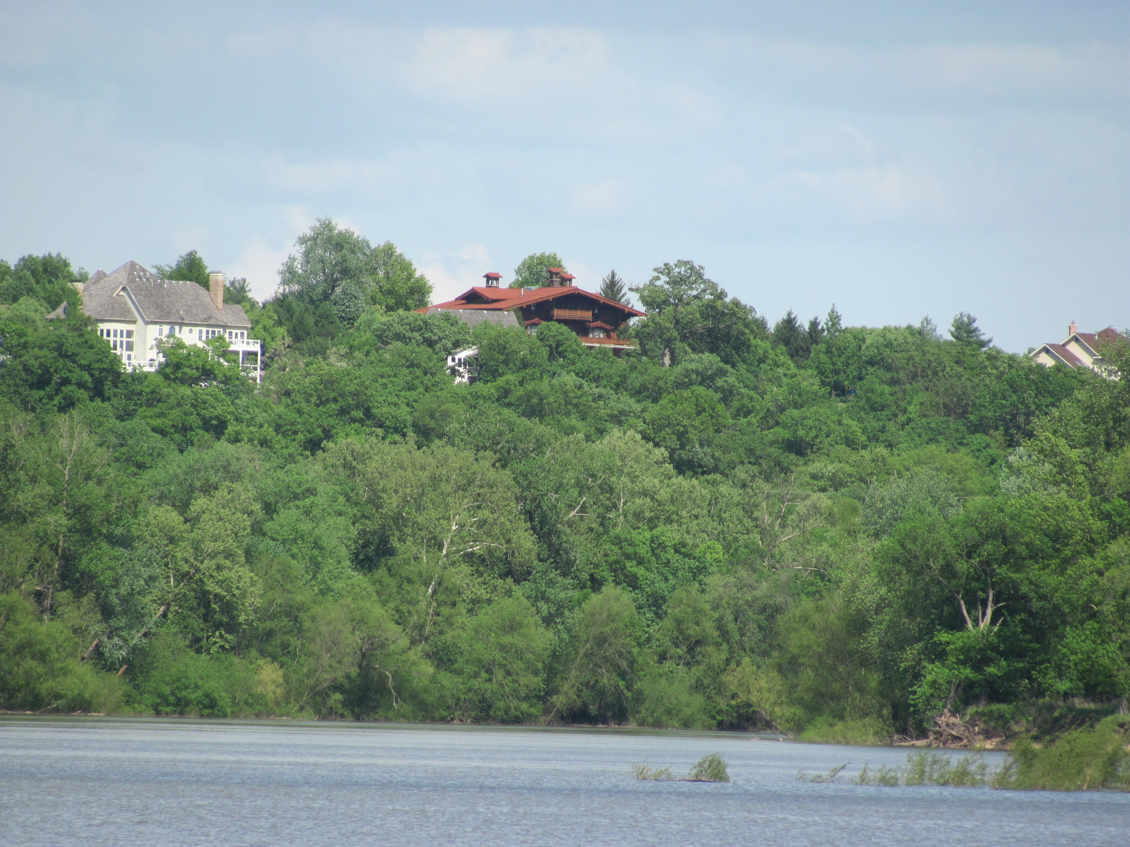
Big River Valley, near Hoene Spring, Missouri, USA

Forest 44 Conservation Area, near Valley Park, Missouri, USA - panoramic night view of prairie and hill

Forest 44 Conservation Area, near Valley Park, Missouri, USA - night view of prairie and trees

Forest 44 Conservation Area, near Valley Park, Missouri, USA - hillside at dusk 2

Forest 44 Conservation Area, near Valley Park, Missouri, USA - prairie and hill at dusk 2

Sunrise on the Mississippi

Barren field

Mostly Dead Fast Food Landscape of Valley Park, MO_P1170293
Alswell Estate of William J. Lemp, Jr. - Sunset Hills, MO_IMG_2371

Old Gravois Bridge at Fenton, MO (partially demolished)_IMG_1487
Topographic Map of Fischer Way, Imperial, MO, USA
Find elevation by address:

Places near Fischer Way, Imperial, MO, USA:
5011 Fischer Way
4606 E Four Ridge Rd
Old Missouri 21, Imperial, MO, USA
6021 Kassel Ct
Otto
Old Missouri 21, House Springs, MO, USA
Imperial Township
4600 Newkirk
Kneef Road
3552 Circle Dr
3738 Rock Creek Valley Rd
4538 Ridge Rd
2460 Doris
4921 Mahaw Dr
3583 Sunrise Dr
4912 Ridgeview
4020 W 4 Ridge Rd
4145 W 4 Ridge Rd
2700 Oaker
4600 Sassafras Ln
Recent Searches:
- Elevation of Royal Ontario Museum, Queens Park, Toronto, ON M5S 2C6, Canada
- Elevation of Groblershoop, South Africa
- Elevation of Power Generation Enterprises | Industrial Diesel Generators, Oak Ave, Canyon Country, CA, USA
- Elevation of Chesaw Rd, Oroville, WA, USA
- Elevation of N, Mt Pleasant, UT, USA
- Elevation of 6 Rue Jules Ferry, Beausoleil, France
- Elevation of Sattva Horizon, 4JC6+G9P, Vinayak Nagar, Kattigenahalli, Bengaluru, Karnataka, India
- Elevation of Great Brook Sports, Gold Star Hwy, Groton, CT, USA
- Elevation of 10 Mountain Laurels Dr, Nashua, NH, USA
- Elevation of 16 Gilboa Ln, Nashua, NH, USA