Elevation of Imperial, MO, USA
Location: United States > Missouri > Jefferson County > Windsor Township >
Longitude: -90.378452
Latitude: 38.3697763
Elevation: 134m / 440feet
Barometric Pressure: 100KPa
Elevation Map:
Satellite Map:
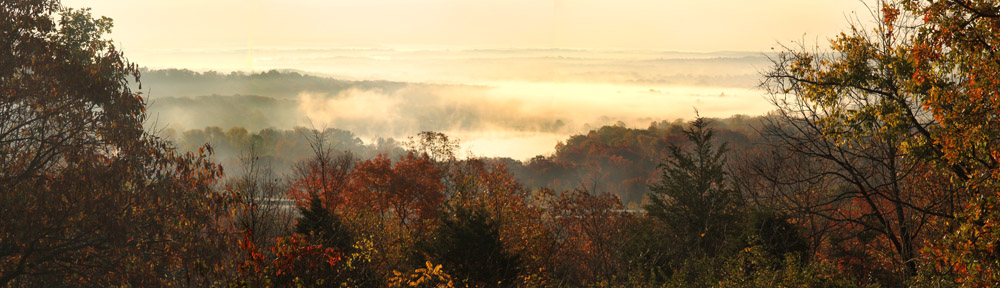
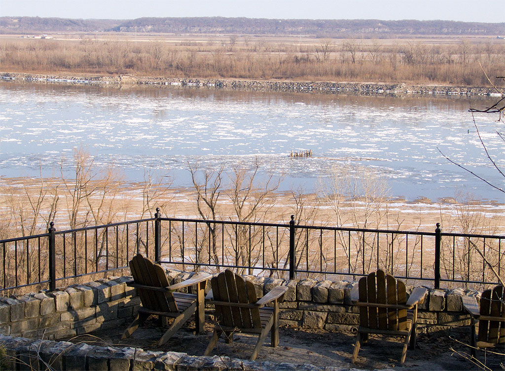
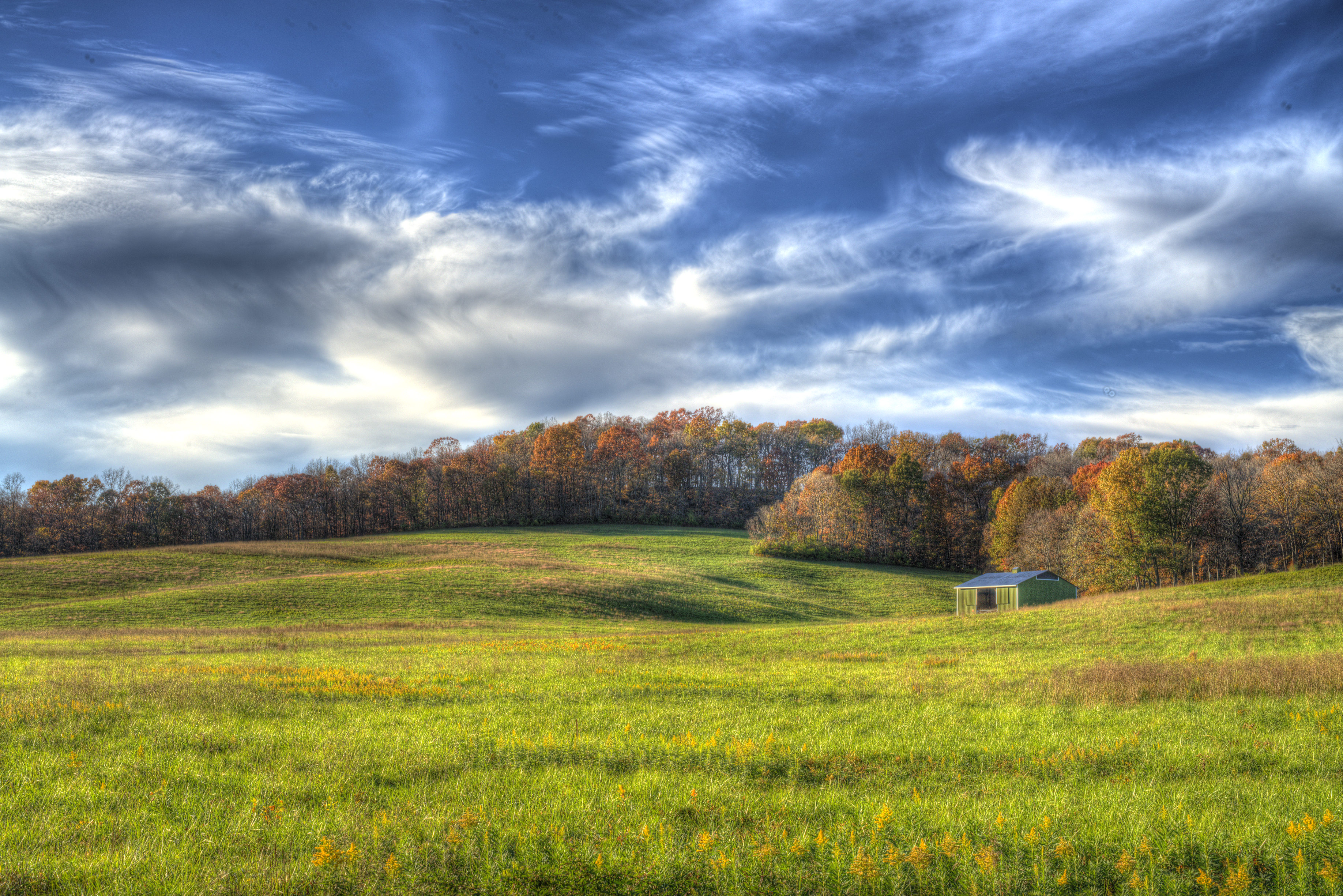
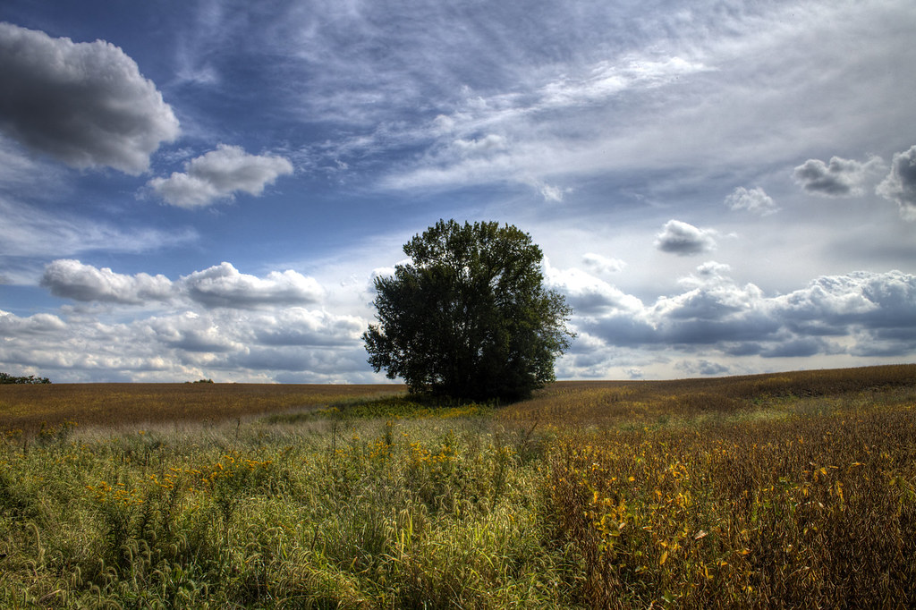
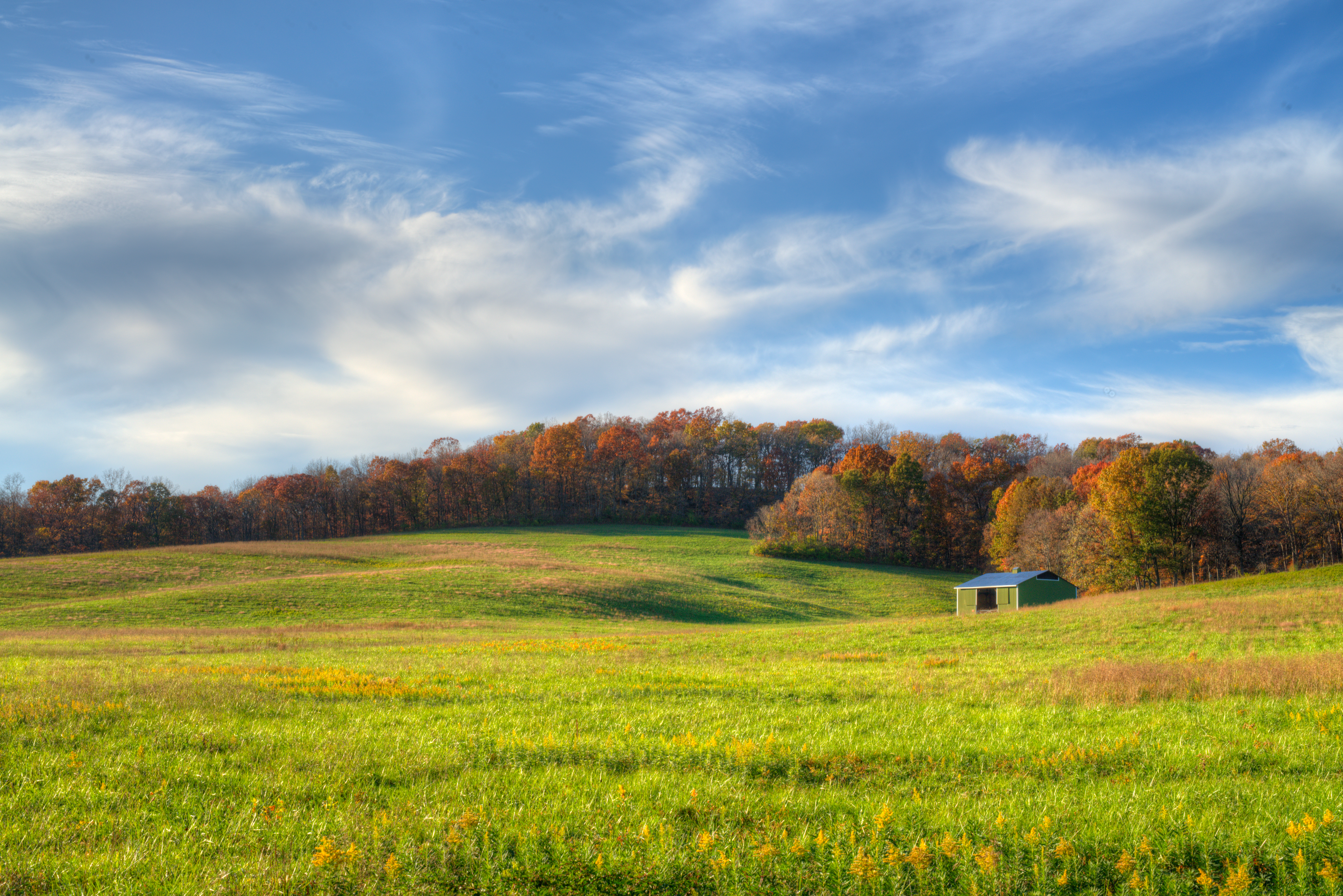
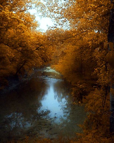
Related Photos:

Snowy Ozarks view

SP 8014
View from the top!
Dual Arches

Pretty noon view at church

Photo Dump 7 - 30

Sideways snow
A view I hope you never have to see

Water Hyancinth

Photo Dump 7 - 28

Photo Dump 7 - 22

Photo Dump 7 - 27
Aerial of South County Mall_20130802_122842c
Porch panorama
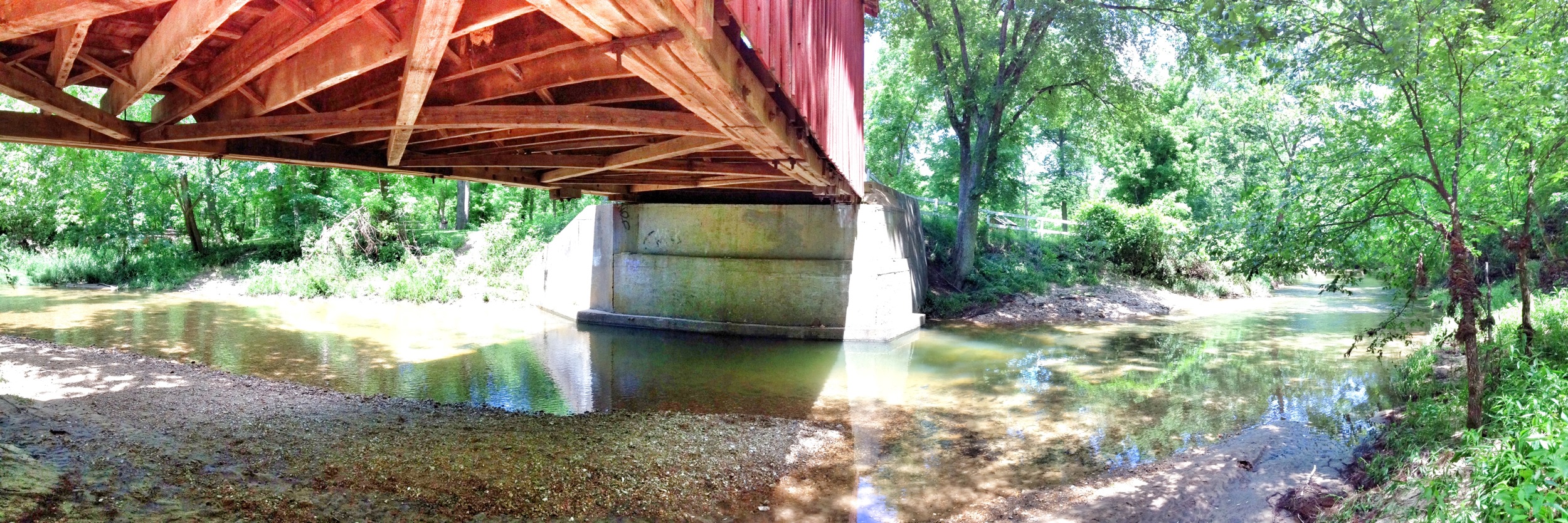
Under the bridge differing view

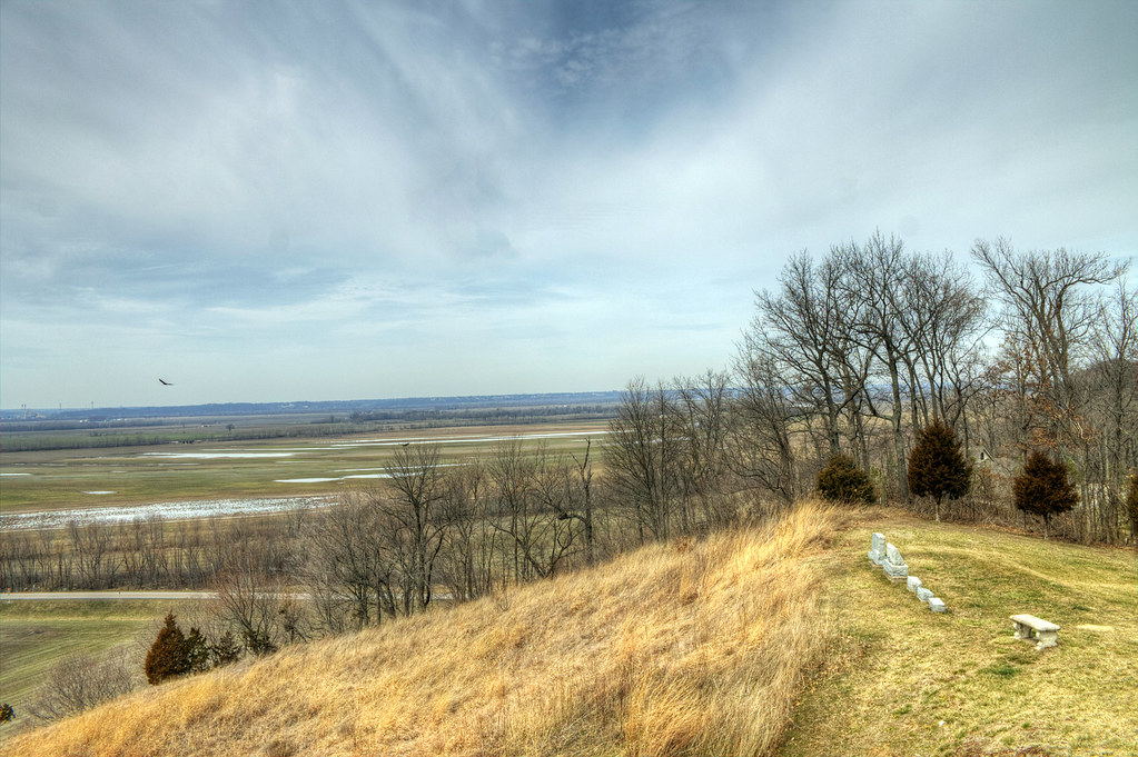
View of Illinois from Gov. Daniel Dunklin's Grave State Historic Site

Stained Glass Window - St. Joseph Catholic Church - Imperial, MO_IMG_2331

Mississippi River, Herculaneum (Mo.), 18 April 1980

Photo Dump 7 - 34
White House Retreat, in Oakville, Missouri - view of Mississippi River.jpg
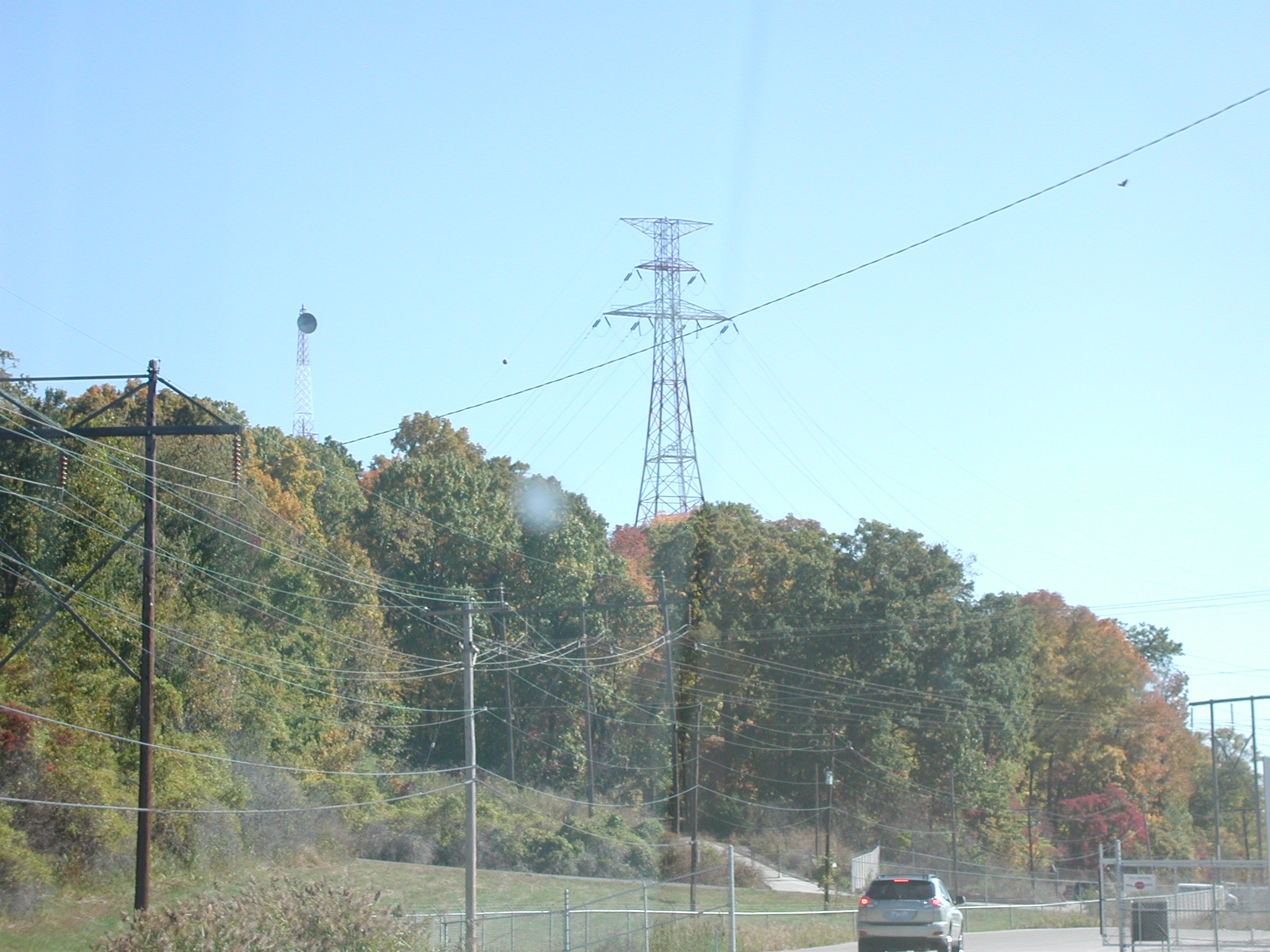
View of pylon crossing the Mississippi River from Meramec Power Plant

CNAIM9 13

Sunset storms

H DYTGAL

Sand Creek

Mraz3-38

Sunrise on the Mississippi
Saline Valley - Painterly
Open Spaces
Saline Valley
Sandy Creek

1 November 2013, Columbia, IL 001

IMG_4560 a
Miles Cemetery

Forza Horizon Demo Shot 9

The Mighty
20151225-164716-5

"OK, Google: local park with swimming"
20151225-164711-4
A Hill

The 3 Layers
Topographic Map of Imperial, MO, USA
Find elevation by address:

Places in Imperial, MO, USA:
Places near Imperial, MO, USA:
1124 Naes Dr
5838 Mayberry Dr
5802 Mayberry Dr
1240 Scenic Oaks Dr
853 Cedar Dr
Carsonhurst Dr, Imperial, MO, USA
Barnhart
4158 Whitehall Dr
4350 Iron Mountain Rd
1301 Olive St
3822 Baeumner Dr
Windsor Township
4200 Wicks Rd
3890 Miller Rd
3849 Vogel Rd
2151 Bridgeview Trailer Ct
3838 Vogel Rd
100 Juanita Ln
100 Juanita Ln
100 Juanita Ln
Recent Searches:
- Elevation of Corso Fratelli Cairoli, 35, Macerata MC, Italy
- Elevation of Tallevast Rd, Sarasota, FL, USA
- Elevation of 4th St E, Sonoma, CA, USA
- Elevation of Black Hollow Rd, Pennsdale, PA, USA
- Elevation of Oakland Ave, Williamsport, PA, USA
- Elevation of Pedrógão Grande, Portugal
- Elevation of Klee Dr, Martinsburg, WV, USA
- Elevation of Via Roma, Pieranica CR, Italy
- Elevation of Tavkvetili Mountain, Georgia
- Elevation of Hartfords Bluff Cir, Mt Pleasant, SC, USA