Elevation of Wicks Rd, Arnold, MO, USA
Location: United States > Missouri > Jefferson County > Arnold Township > Arnold >
Longitude: -90.35465
Latitude: 38.403611
Elevation: 126m / 413feet
Barometric Pressure: 100KPa
Elevation Map:
Satellite Map:
Related Photos:

Pretty noon view at church

ZG4MQ 19

SP 8014
Dual Arches

Mississippi River, Herculaneum (Mo.), 18 April 1980

Stained Glass Window - St. Joseph Catholic Church - Imperial, MO_IMG_2331
View of pylon crossing the Mississippi River from Meramec Power Plant
603 S. Main, Columbia, IL

Snowy Ozarks view
View from the top!
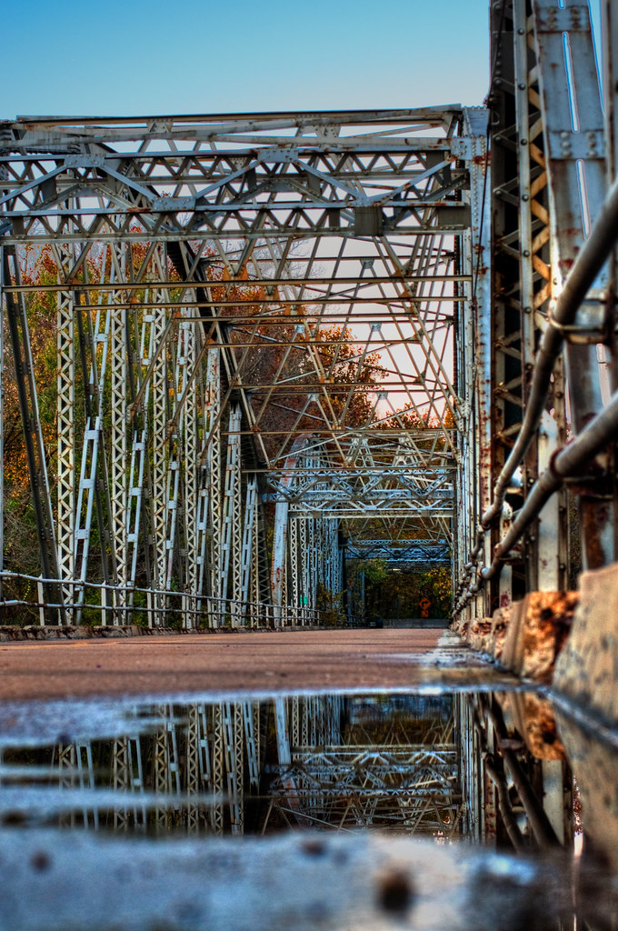
Fenton Bridge

Photo Dump 7 - 30
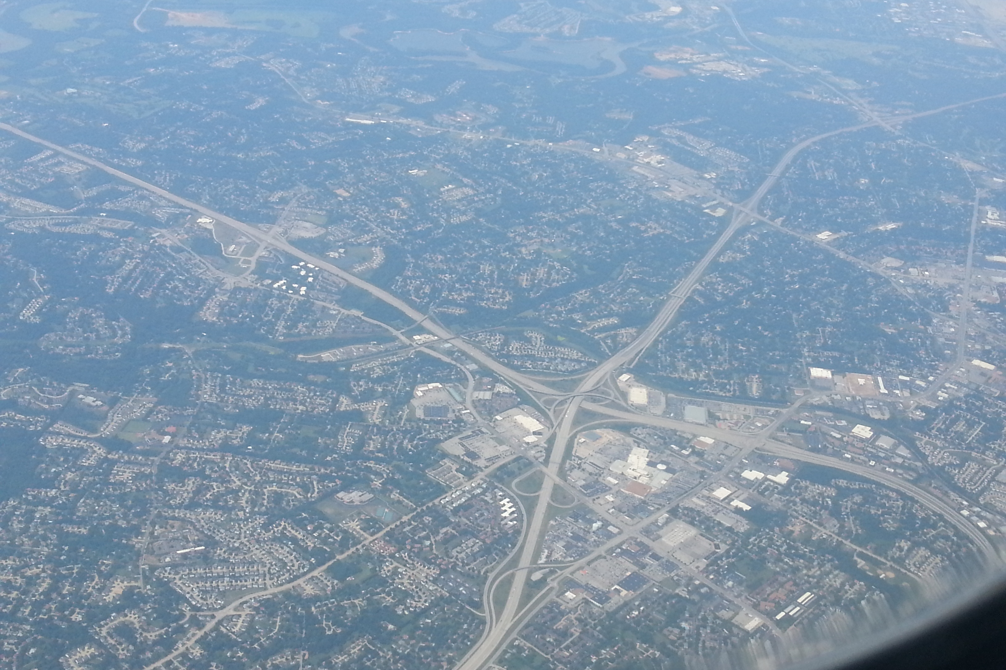
Aerial of South County Mall_20130802_122842c

Sideways snow
Windsor Harbor Road Bridge

Photo Dump 7 - 22
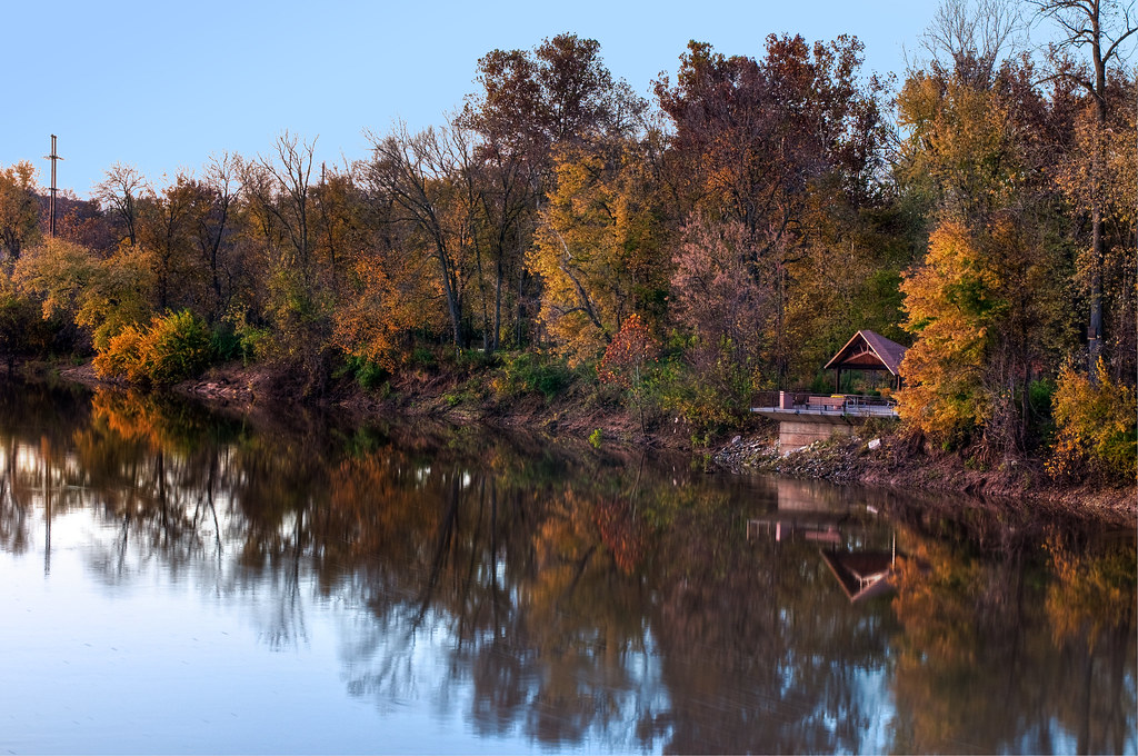
Meramec River from Fenton Bridge
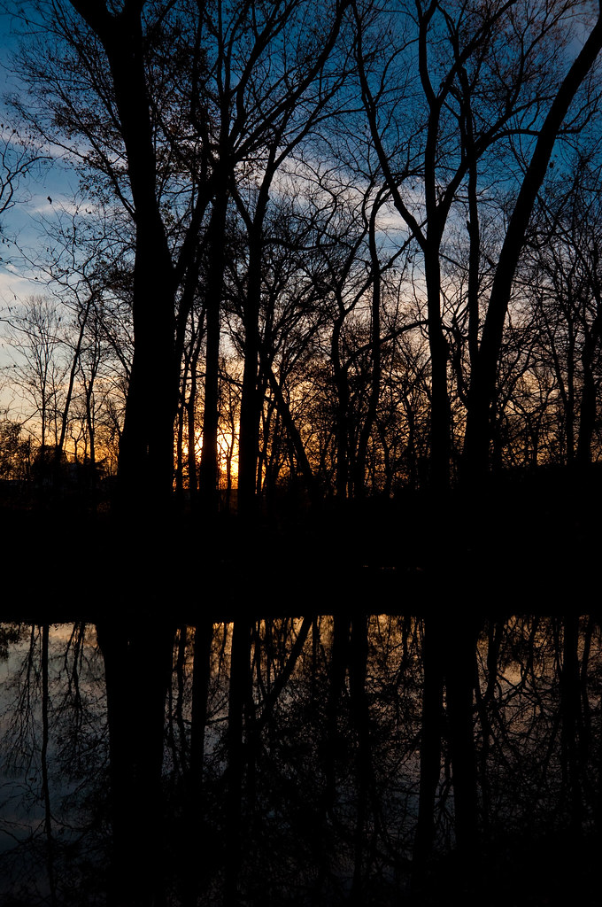
Mini Ha Ha Sunset

Photo Dump 7 - 27
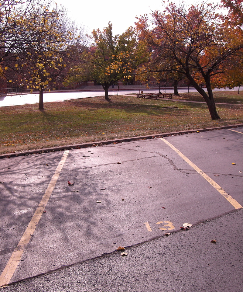
2007-11 St Louis - MSH Parking Spot
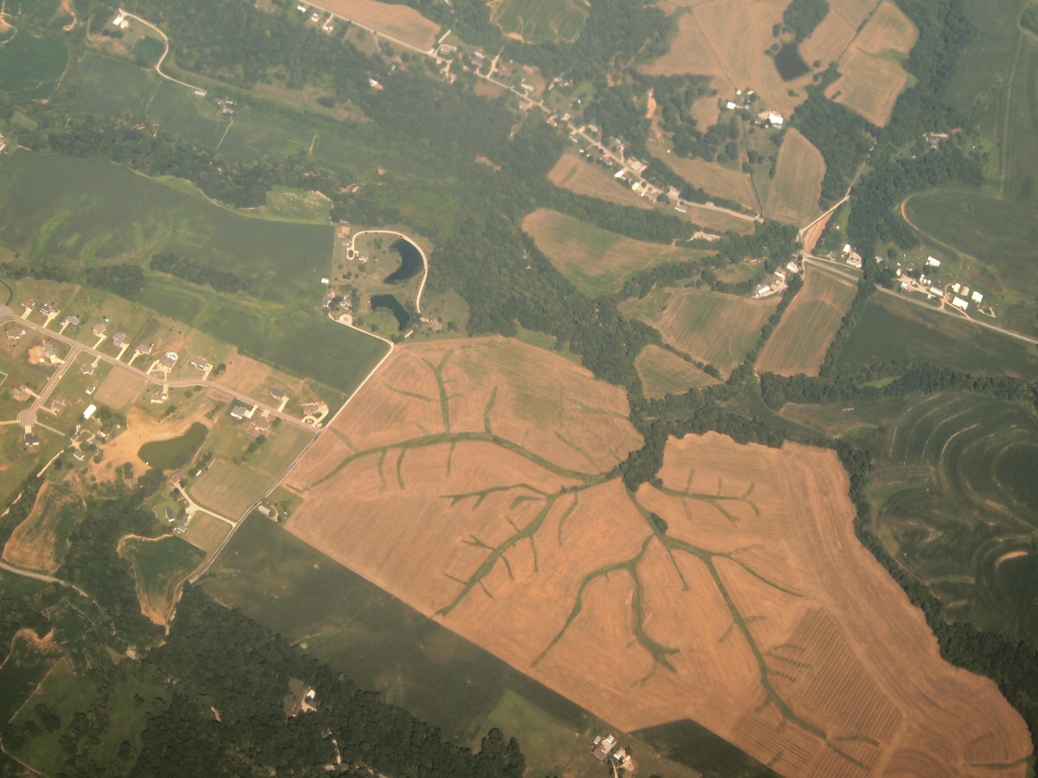
Aerial View of Dendritic Landscape off Gall Rd. South of Columbia, IL_P8025094

I’m not going to touch this one

MNLTR 21

CIMNR9 14

AMXASB 01
29/365 Mississippi River at Cliff Cave County Park
Break of Day
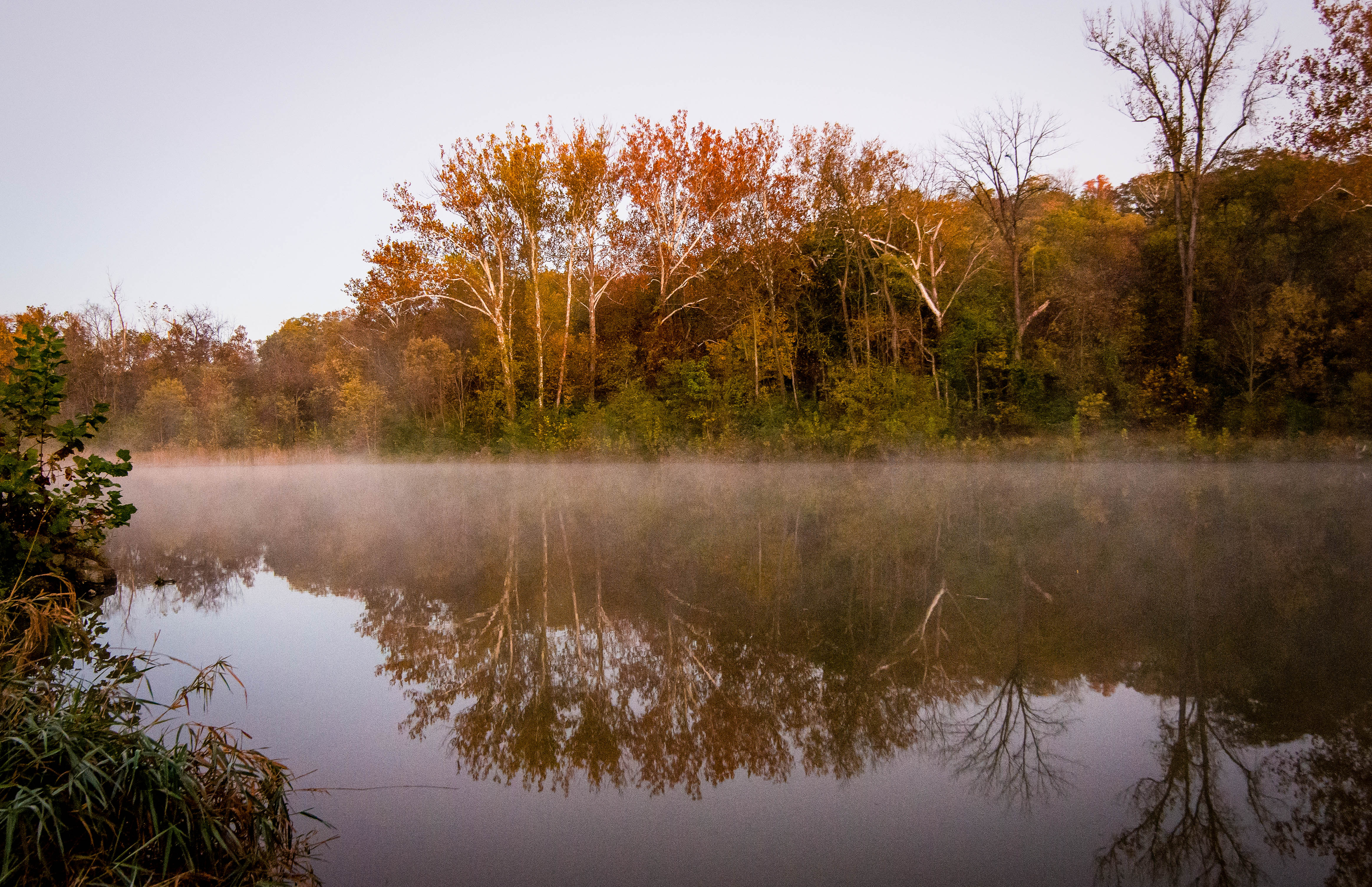
Valley Fog
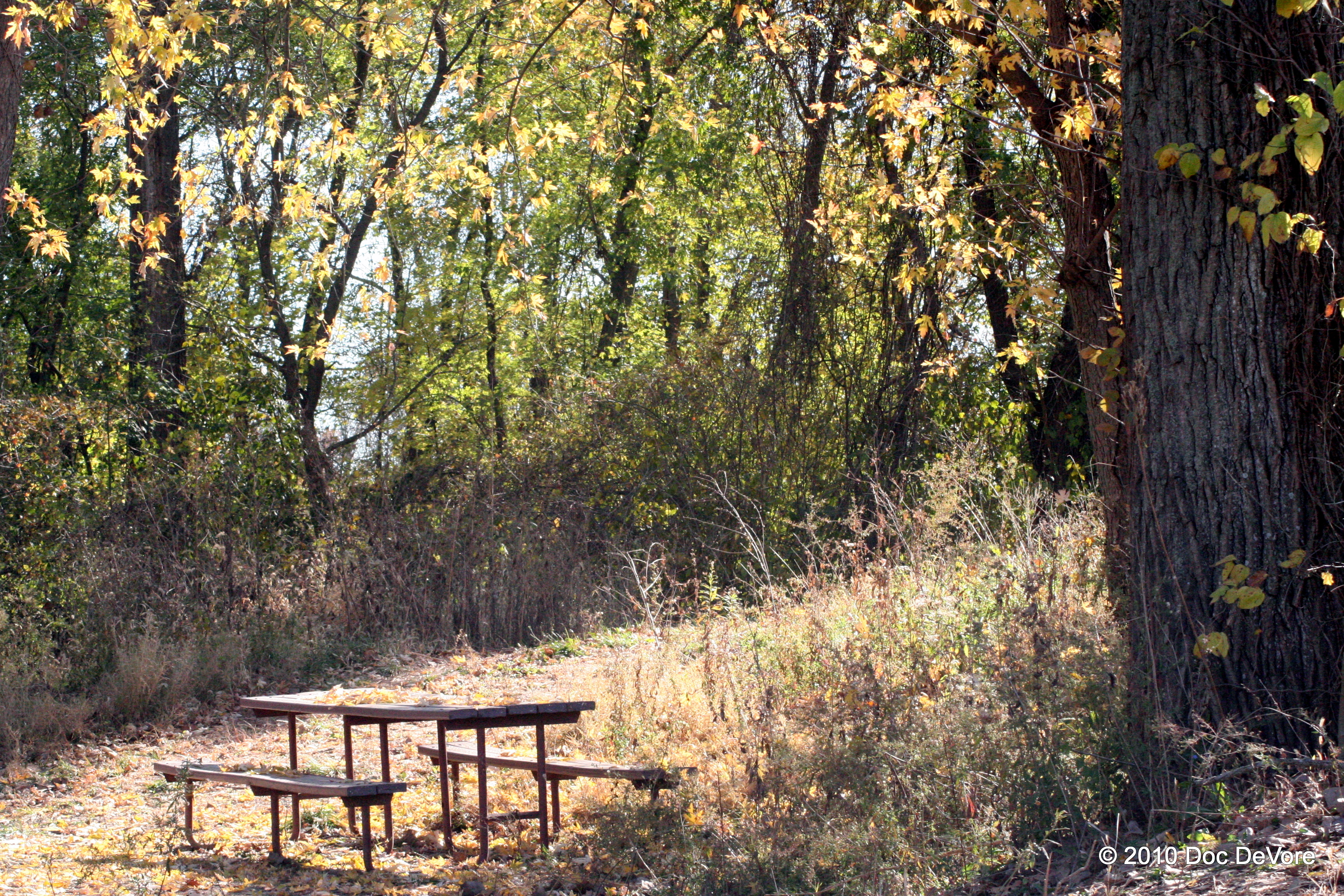
Lonesome table

MASEW 25

A Stroke Of Luck

Small Storm and Rainbow
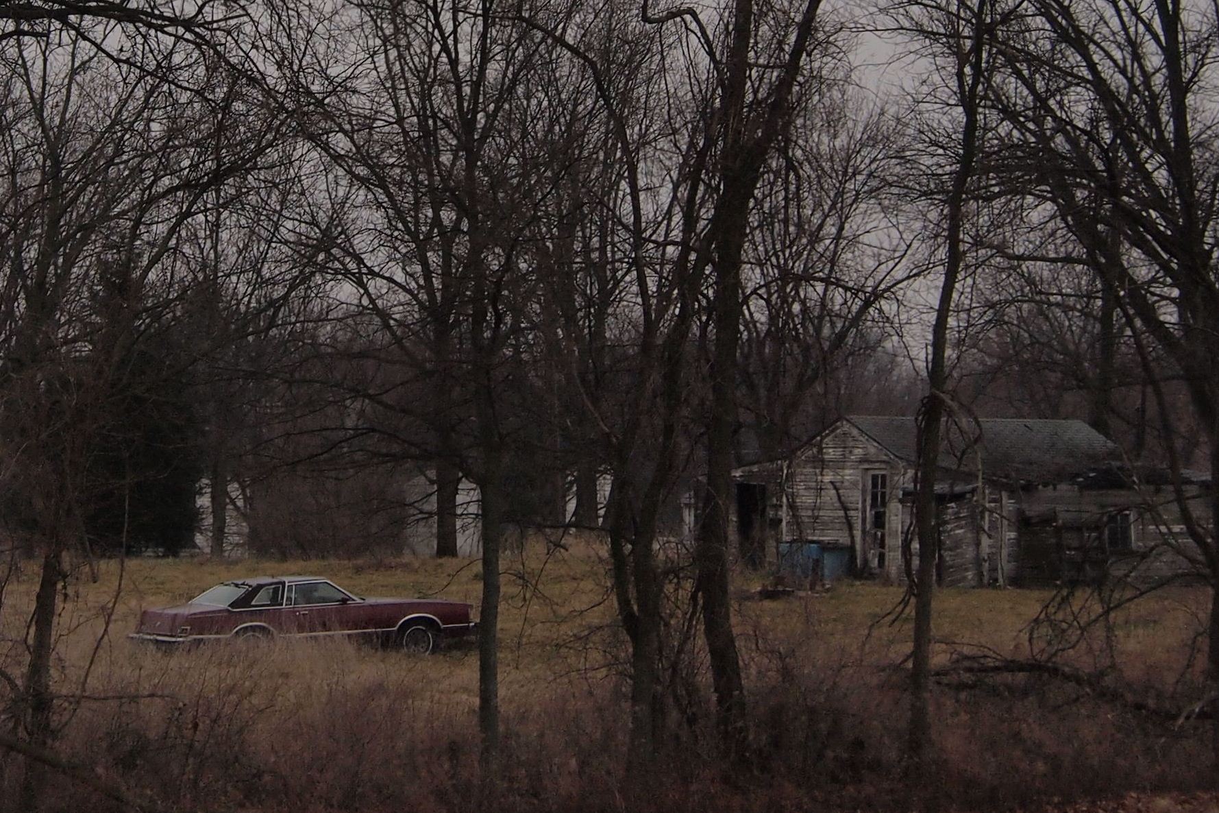
Abandoned Car in Field - South St. Louis County, MO_P3172026c3

Sunset storms

beauty after the storm

CNAIM9 13
The Mighty

Sunrise on the Mississippi

Bee Tree Park

Cliff Cave

Corny Stormlight
Topographic Map of Wicks Rd, Arnold, MO, USA
Find elevation by address:

Places near Wicks Rd, Arnold, MO, USA:
4350 Iron Mountain Rd
2151 Bridgeview Trailer Ct
3822 Baeumner Dr
853 Cedar Dr
2793 Pomme Meadows Dr
1240 Scenic Oaks Dr
109 Creekside Trail
Arnold Township
4158 Whitehall Dr
123 Manufacturers Dr
1 Wagon Wheel Ct
Jeffco Blvd, Arnold, MO, USA
Arnold
1314 Jeffco Blvd
5802 Mayberry Dr
625 Washington Dr
873 Hyde Park Dr
Imperial
5838 Mayberry Dr
2130 Michigan Ave
Recent Searches:
- Elevation of Woodland Oak Pl, Thousand Oaks, CA, USA
- Elevation of Brownsdale Rd, Renfrew, PA, USA
- Elevation of Corcoran Ln, Suffolk, VA, USA
- Elevation of Mamala II, Sariaya, Quezon, Philippines
- Elevation of Sarangdanda, Nepal
- Elevation of 7 Waterfall Way, Tomball, TX, USA
- Elevation of SW 57th Ave, Portland, OR, USA
- Elevation of Crocker Dr, Vacaville, CA, USA
- Elevation of Pu Ngaol Community Meeting Hall, HWHM+3X7, Krong Saen Monourom, Cambodia
- Elevation of Royal Ontario Museum, Queens Park, Toronto, ON M5S 2C6, Canada