Elevation of Circle Dr, Imperial, MO, USA
Location: United States > Missouri > Jefferson County > Imperial Township >
Longitude: -90.461667
Latitude: 38.362994
Elevation: 170m / 558feet
Barometric Pressure: 99KPa
Elevation Map:
Satellite Map:
Related Photos:

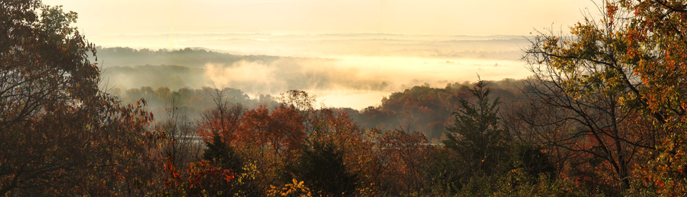
Snowy Ozarks view

Pretty noon view at church

Rockford Beach - Boat Ramp
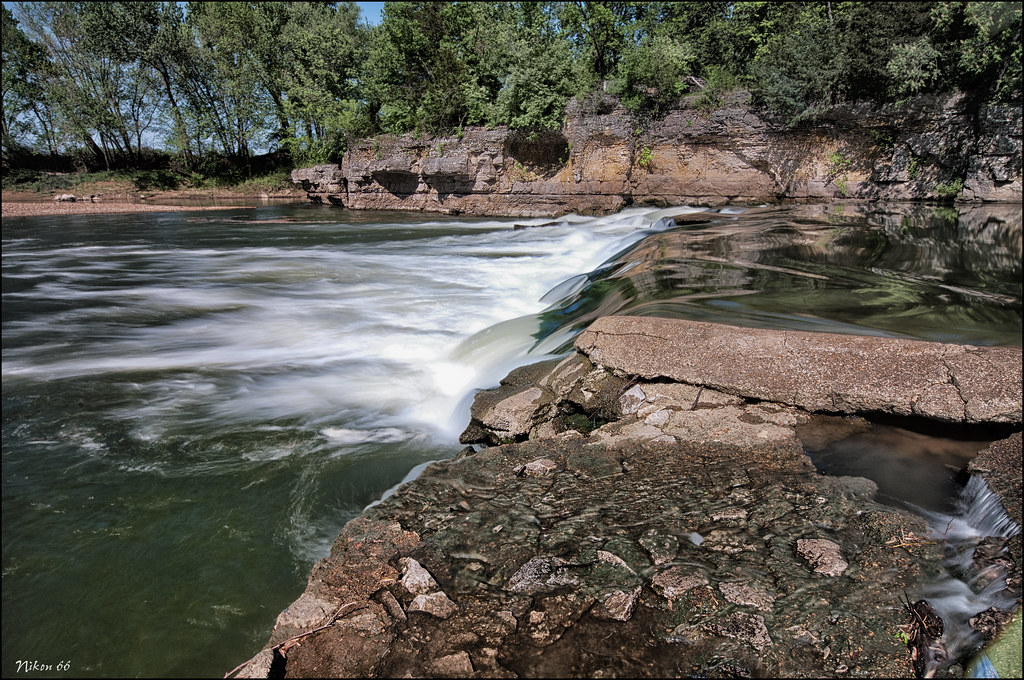
Rockford Beach - Big River Dam
Porch panorama
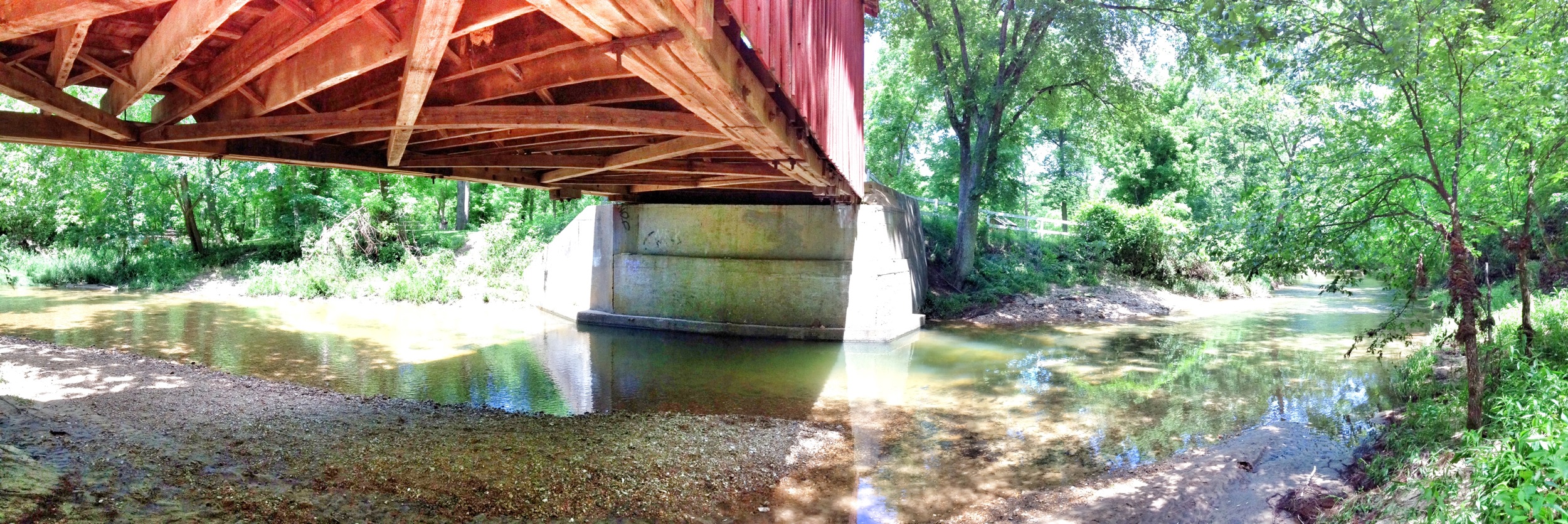
Under the bridge differing view

Stained Glass Window - St. Joseph Catholic Church - Imperial, MO_IMG_2331

Mississippi River, Herculaneum (Mo.), 18 April 1980
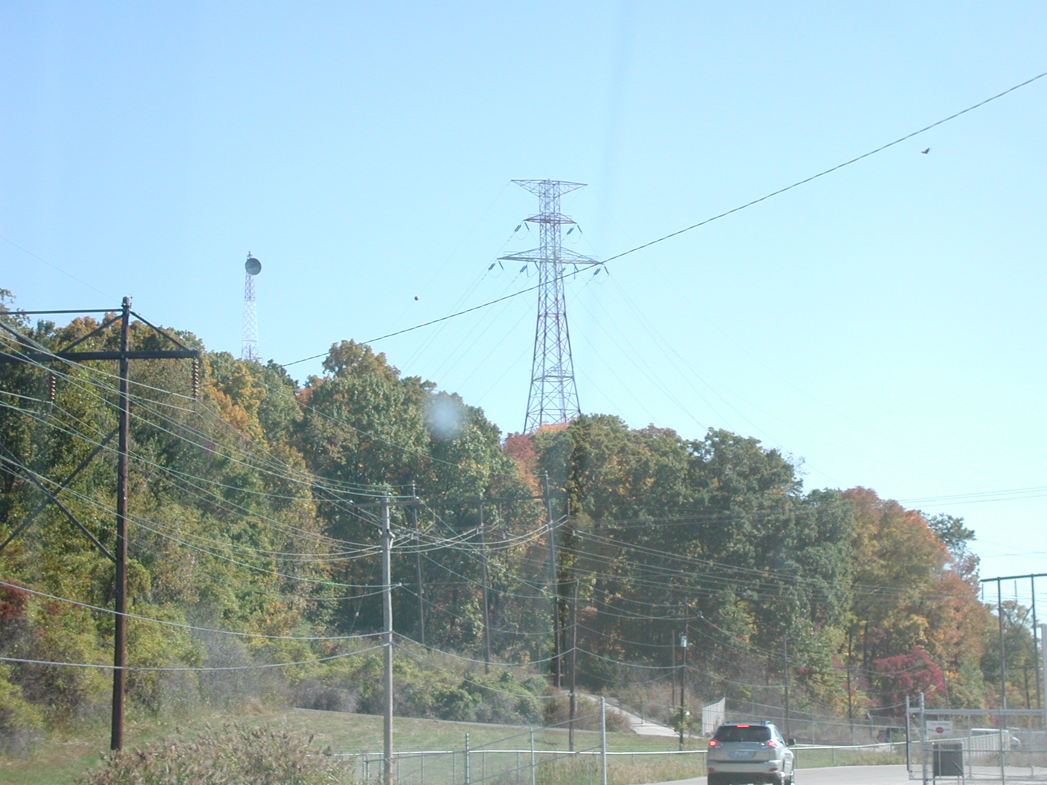
View of pylon crossing the Mississippi River from Meramec Power Plant

Mississippi River, Herculaneum (Mo.), 18 April 1980
Bee Tree Park 03 crop
Bee Tree Park 05 crop

Jeffco Blvd., Pleasant View Motel sign_IMG_9896
Bee Tree Park 06 crop
Immaculate Conception Roman Catholic Church, in Arnold, Missouri, USA - view out front door.jpg
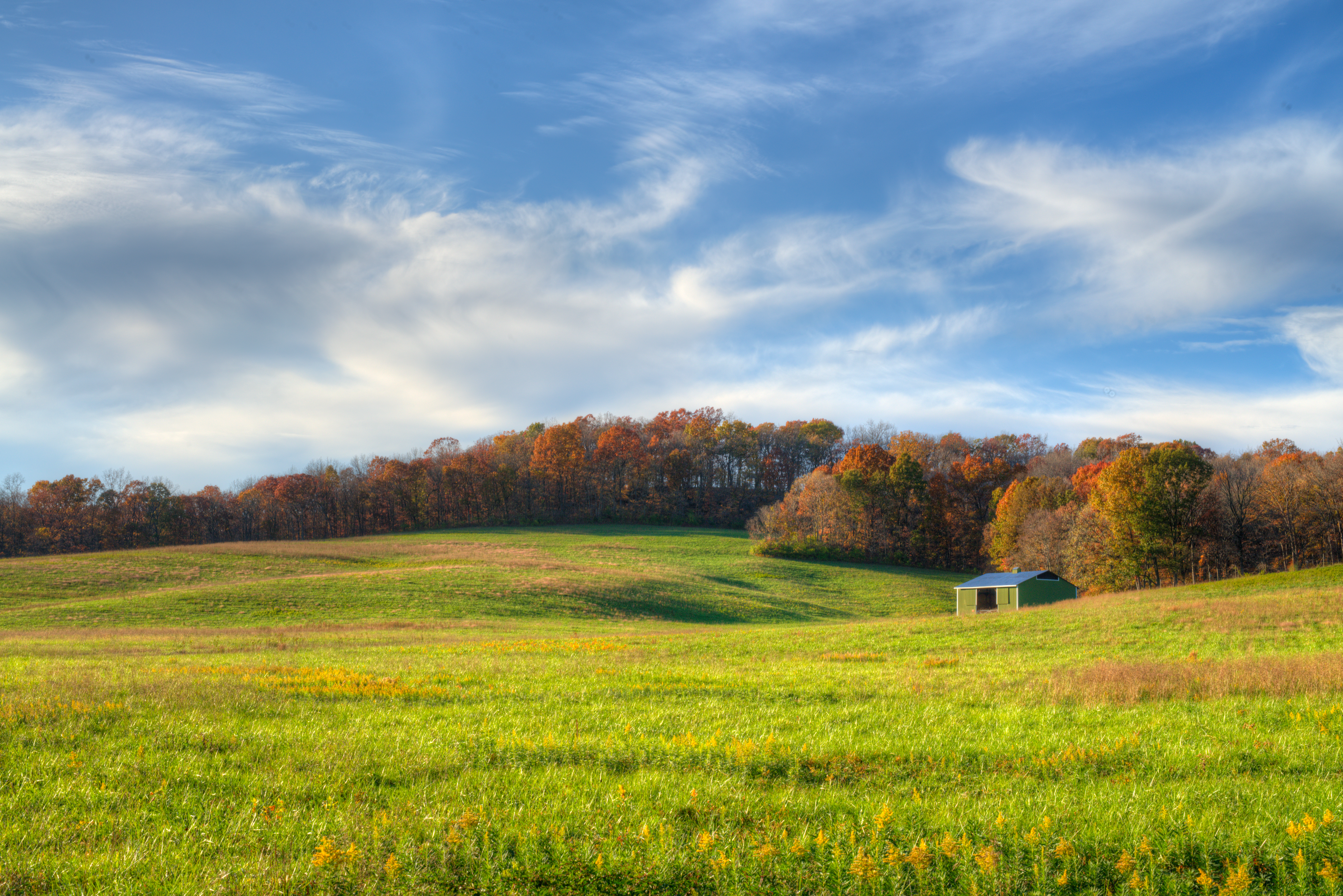
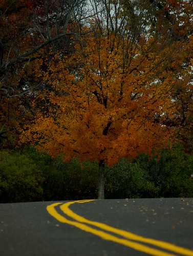
View From the Road

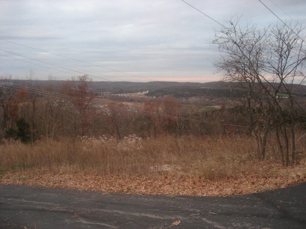
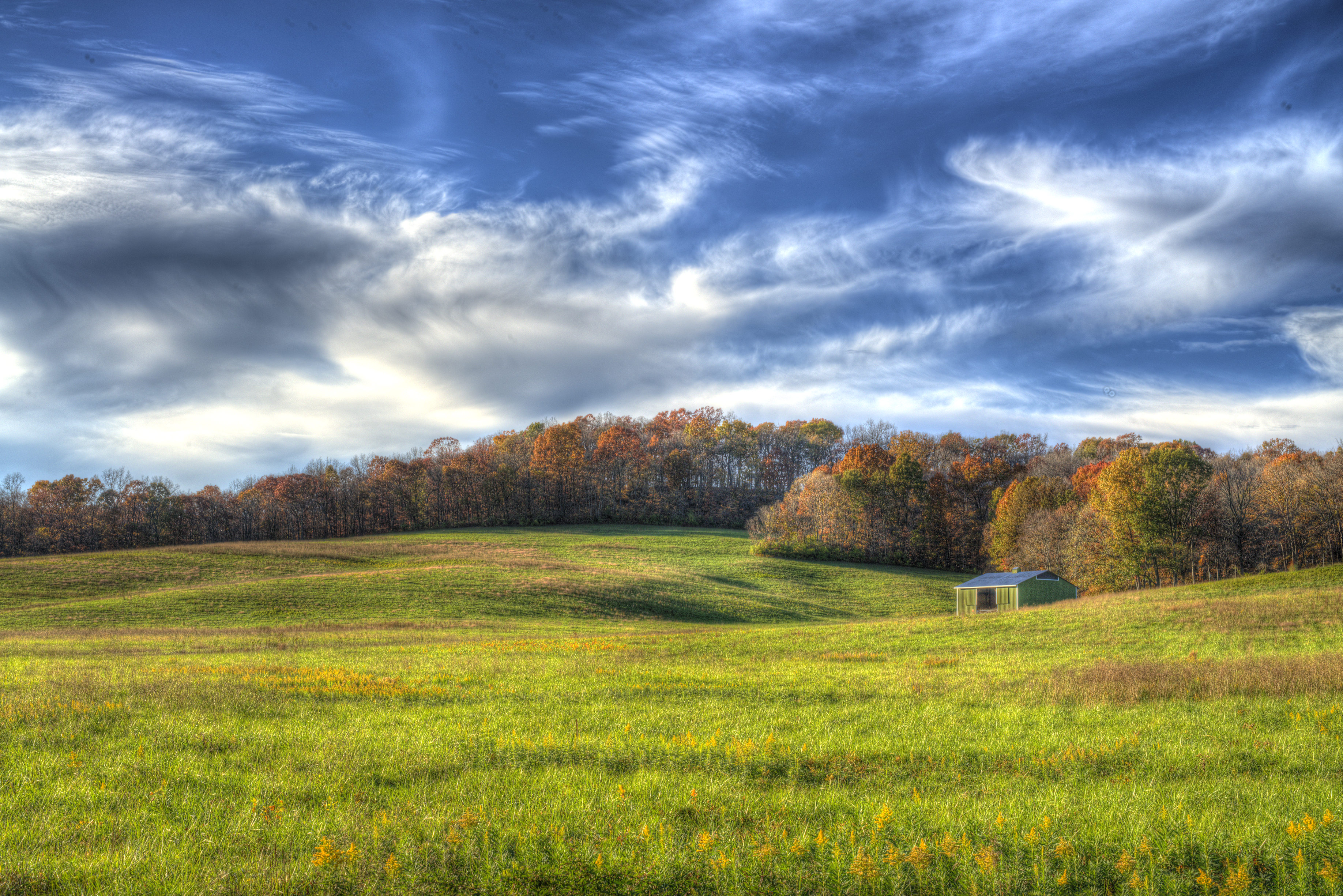
Hill View
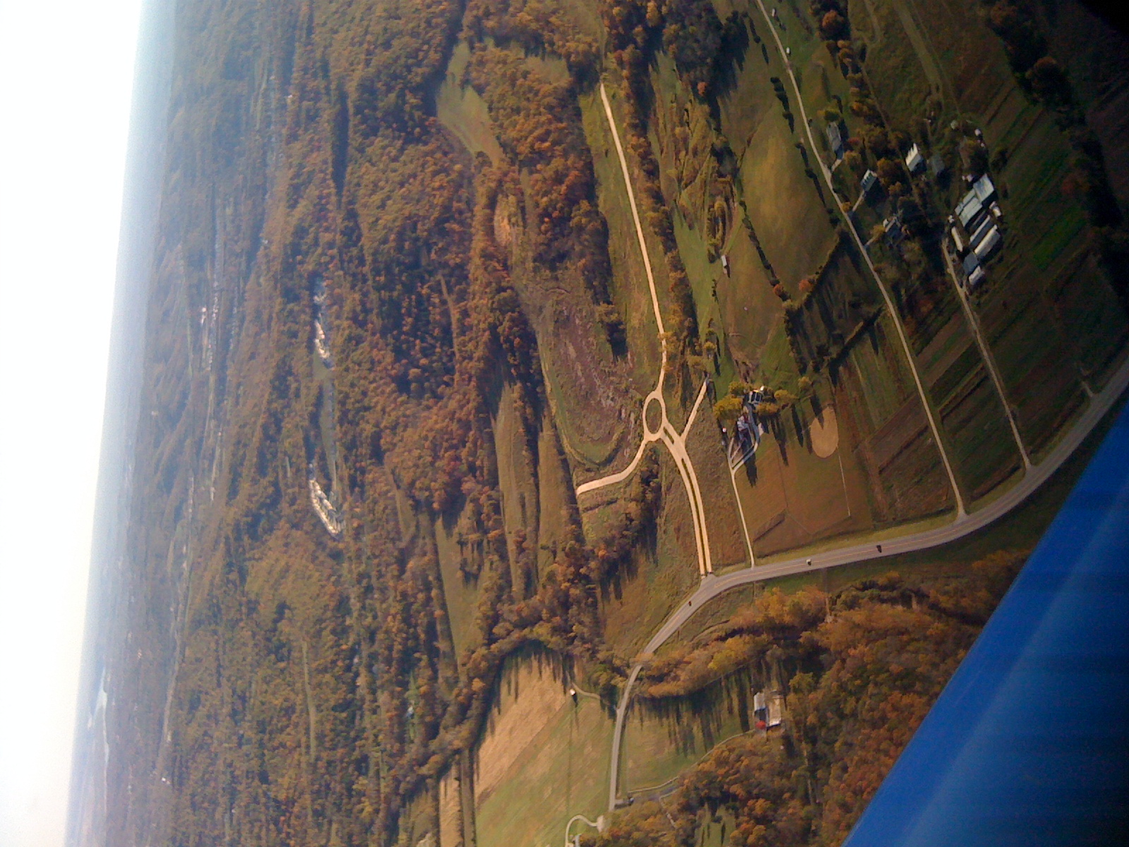
Aerial View
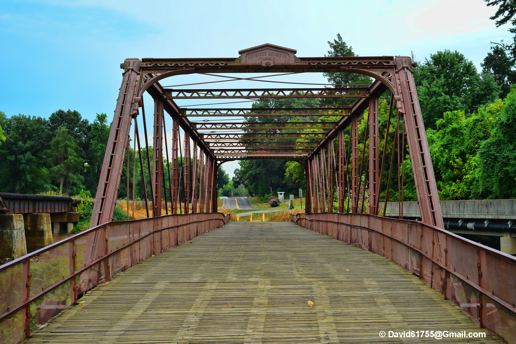
Windsor Harbor Road Bridge
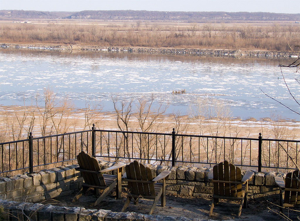
White House Retreat, in Oakville, Missouri - view of Mississippi River.jpg

Sand Creek

Powering through the #fields.

Mraz3-38

Sunrise on the Mississippi
Saline Valley - Painterly
Saline Valley
Sandy Creek

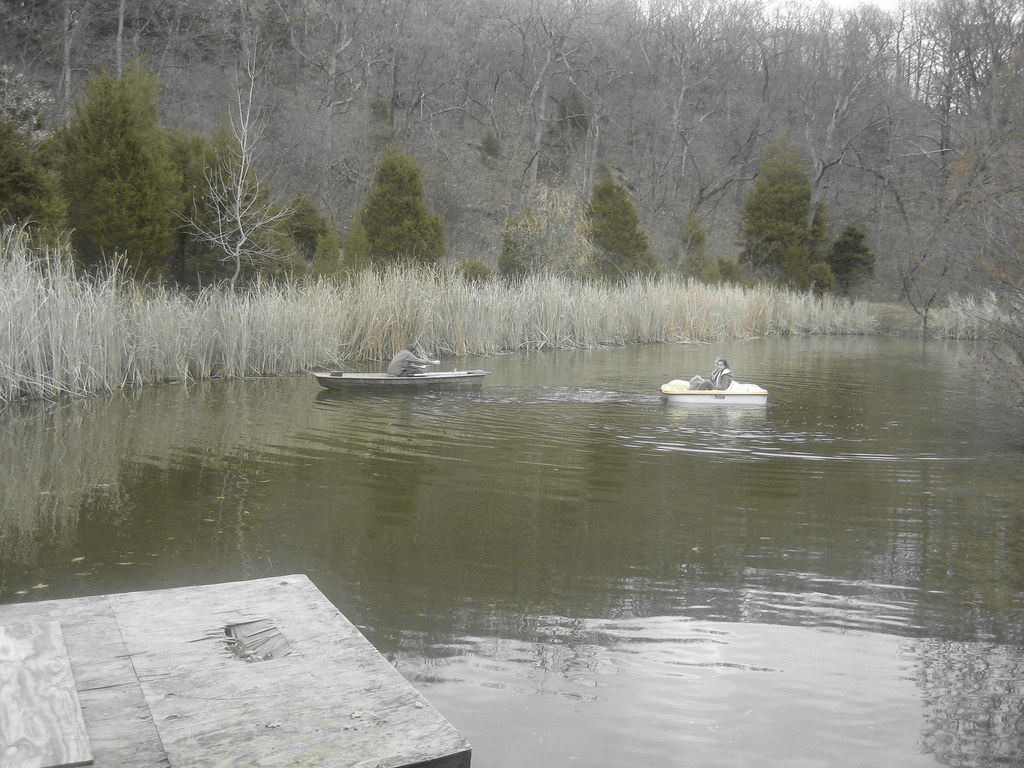
"OK, Google: local park with swimming"
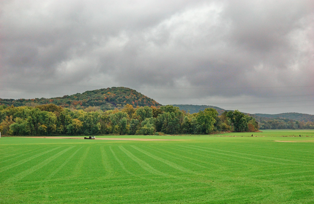
A Hill
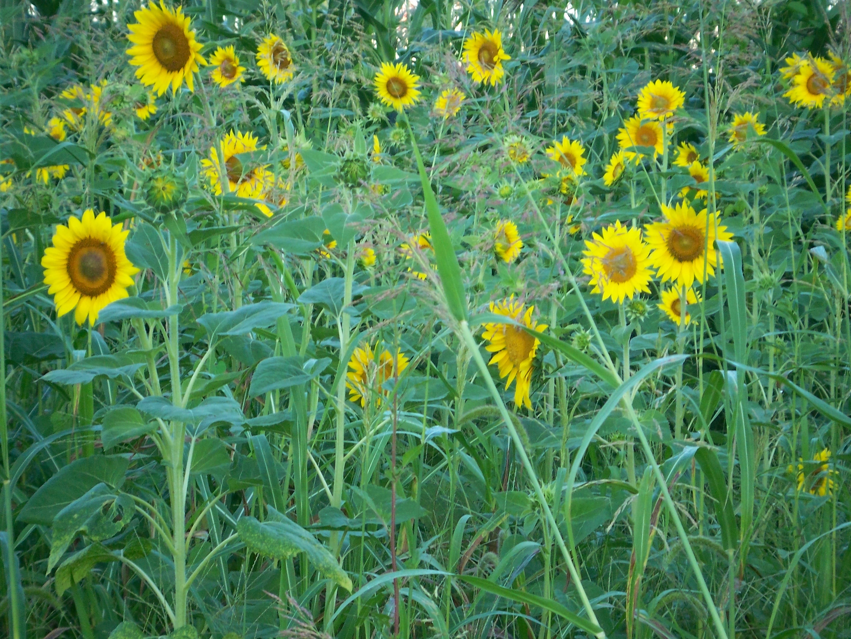
sunflower patch
I Discovered This Color Selection Feature of My Camera

Winter Sky
Big River Valley, near Hoene Spring, Missouri, USA

Good Friday Service -- couldn't have better more beautiful weather! (and better fire pits :) haha

Melting ice
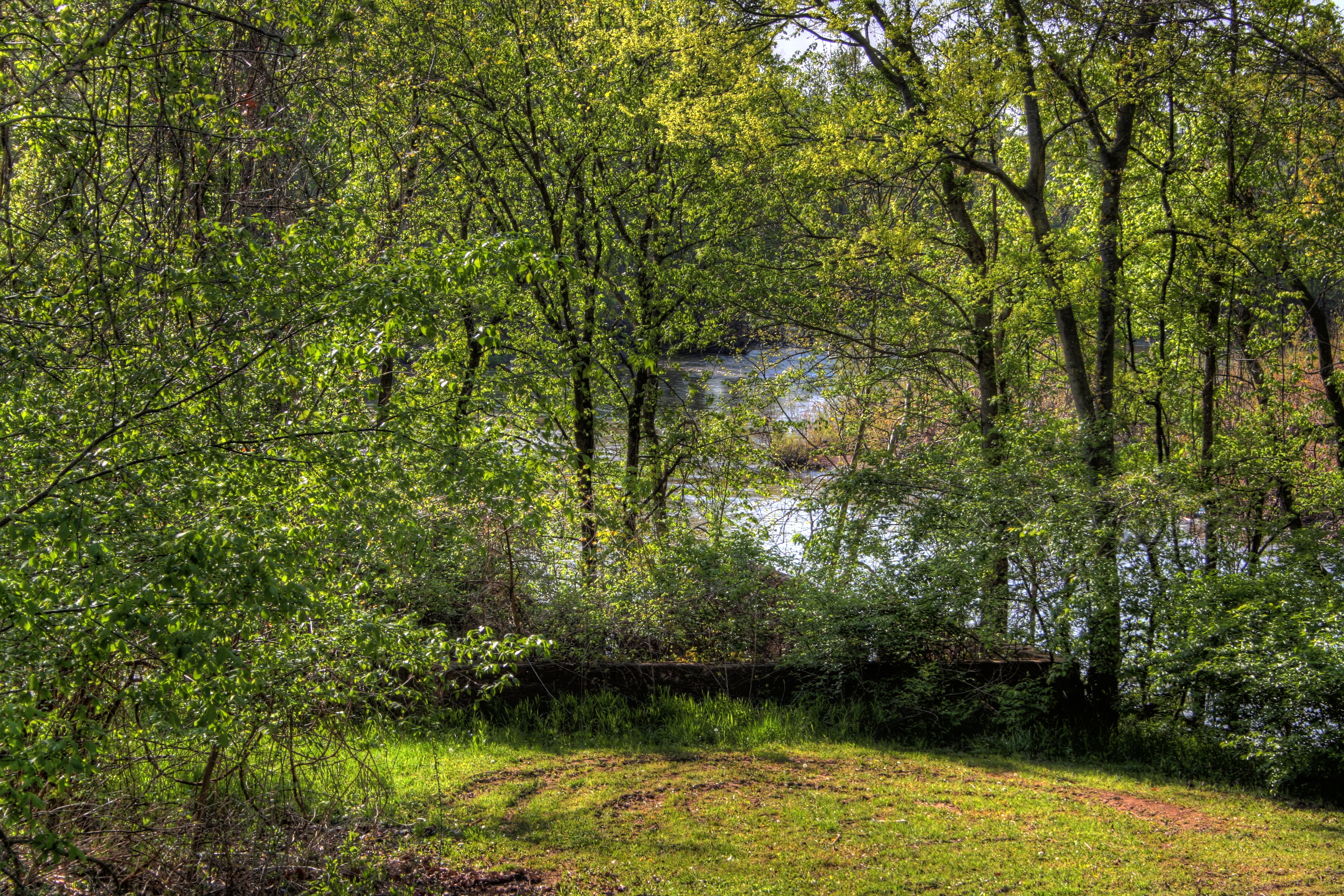
Hiding in the woods
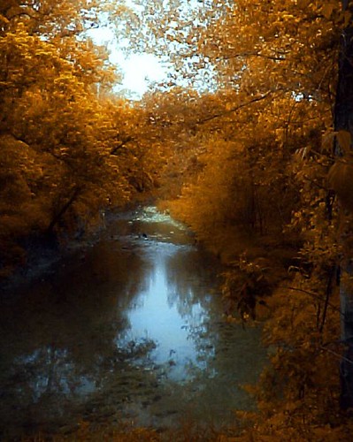
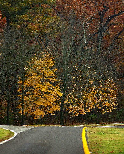
Fall Colors
Playing in the Street
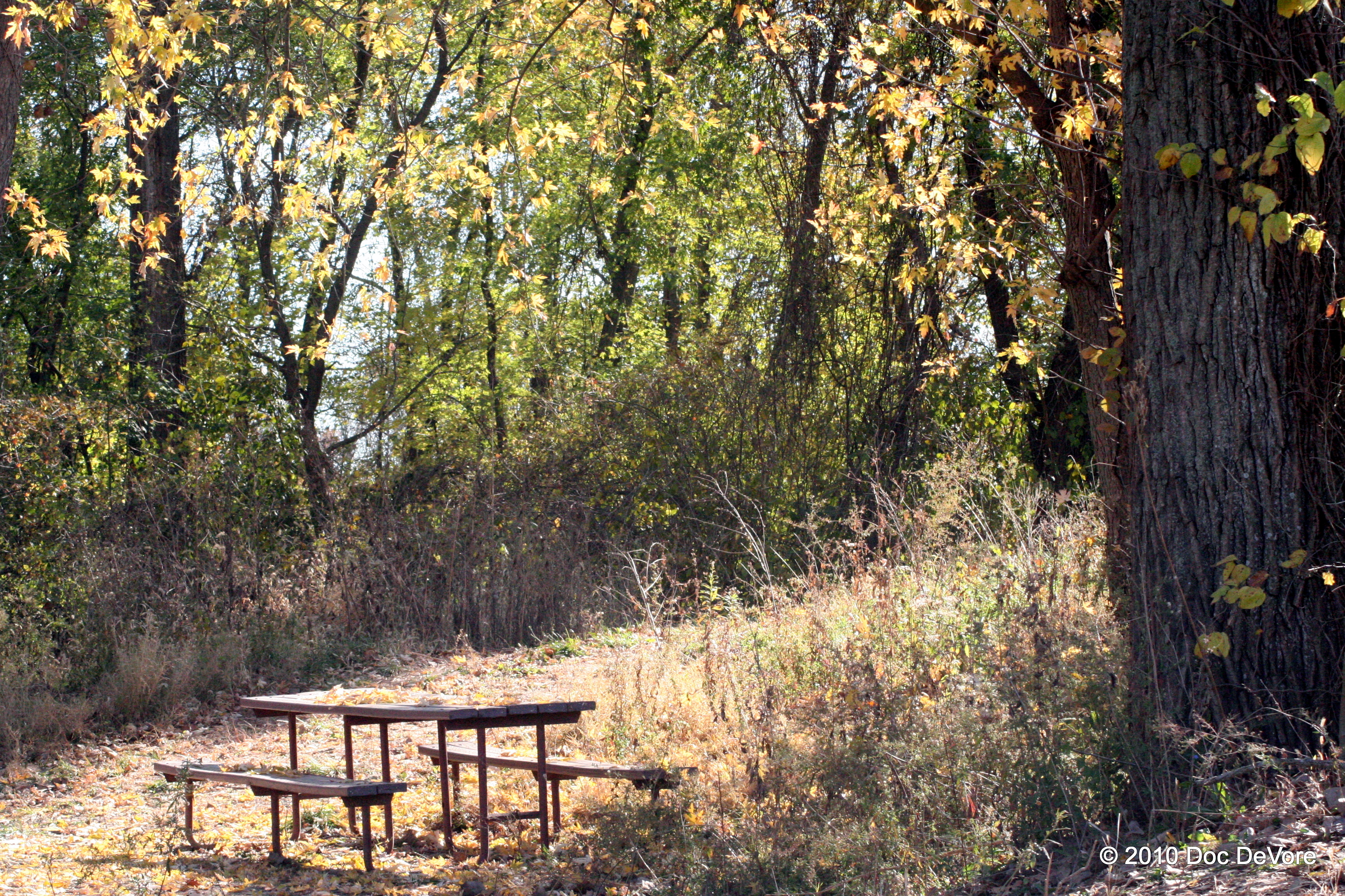
Lonesome table
Mill From Afar
Topographic Map of Circle Dr, Imperial, MO, USA
Find elevation by address:

Places near Circle Dr, Imperial, MO, USA:
6021 Kassel Ct
Imperial Township
Kneef Road
4600 Newkirk
5015 Fischer Way
5011 Fischer Way
Otto
4538 Ridge Rd
Old Missouri 21, House Springs, MO, USA
2516 Sutton Rd
2510 Sutton Rd
4606 E Four Ridge Rd
4921 Mahaw Dr
Old Missouri 21, Imperial, MO, USA
4600 Sassafras Ln
2460 Doris
Barnhart
4912 Ridgeview
3890 Miller Rd
2700 Oaker
Recent Searches:
- Elevation of Royal Ontario Museum, Queens Park, Toronto, ON M5S 2C6, Canada
- Elevation of Groblershoop, South Africa
- Elevation of Power Generation Enterprises | Industrial Diesel Generators, Oak Ave, Canyon Country, CA, USA
- Elevation of Chesaw Rd, Oroville, WA, USA
- Elevation of N, Mt Pleasant, UT, USA
- Elevation of 6 Rue Jules Ferry, Beausoleil, France
- Elevation of Sattva Horizon, 4JC6+G9P, Vinayak Nagar, Kattigenahalli, Bengaluru, Karnataka, India
- Elevation of Great Brook Sports, Gold Star Hwy, Groton, CT, USA
- Elevation of 10 Mountain Laurels Dr, Nashua, NH, USA
- Elevation of 16 Gilboa Ln, Nashua, NH, USA