Elevation of E Four Ridge Rd, Imperial, MO, USA
Location: United States > Missouri > Jefferson County > Windsor Township > Imperial >
Longitude: -90.494684
Latitude: 38.3936219
Elevation: 286m / 938feet
Barometric Pressure: 98KPa
Elevation Map:
Satellite Map:
Related Photos:

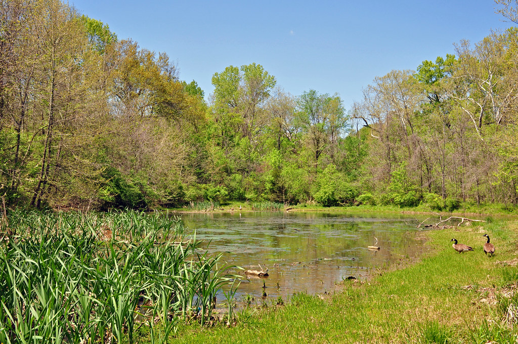
Keeping Tabs on the Garden_DSC0068

Anthers on Crown and Stigma Above_DSC8638

Cedar Hill Mill - No. 1

Cedar Hill Mill - No. 3

Watching a Caterpillar on the Anther of Sage_DSC4721

Cedar Hill Mill - No. 2

Swift Fox - No. 4

Rockford Beach - Boat Ramp

Eagle Profile B&W Colorized

Stained Glass Window - St. Joseph Catholic Church - Imperial, MO_IMG_2331

Porch panorama

View Of Interstate 44 Over Highway 141 That Was Flooded By The Meramec River March 2008

View of pylon crossing the Mississippi River from Meramec Power Plant

Buck Profile

Forest 44 Conservation Area, near Valley Park, Missouri, USA - night view of bridge, lit with multiple flashes

Forest 44 Conservation Area, near Valley Park, Missouri, USA - night view of prairie and hill

Windsor Harbor Road Bridge

Forest 44 Conservation Area, near Valley Park, Missouri, USA - night view of grassy path

Forest 44 Conservation Area, near Valley Park, Missouri, USA - night view of trees with orange sky, lit with multiple flashes

Bee Tree Park 05 crop

Forest 44 Conservation Area, near Valley Park, Missouri, USA - night view of fenced walkway with orange sky, lit with multiple flashes
Missouri - Pomme Creek Park

Sunrise on the Mississippi

Saline Valley

Sand Creek

Rockford Beach - Big River Dam

Railroad Crossing with tilt-shift effect - City Park - Arnold, MO_P4081528

Flower On A Log

Meramec River seen from I-55 at Arnold, MO_IMG_2834

Scouring Rush - Arnold, MO_PA041145

Buffalo at Lone Elk Park - St. Louis, MO_IMG_1953
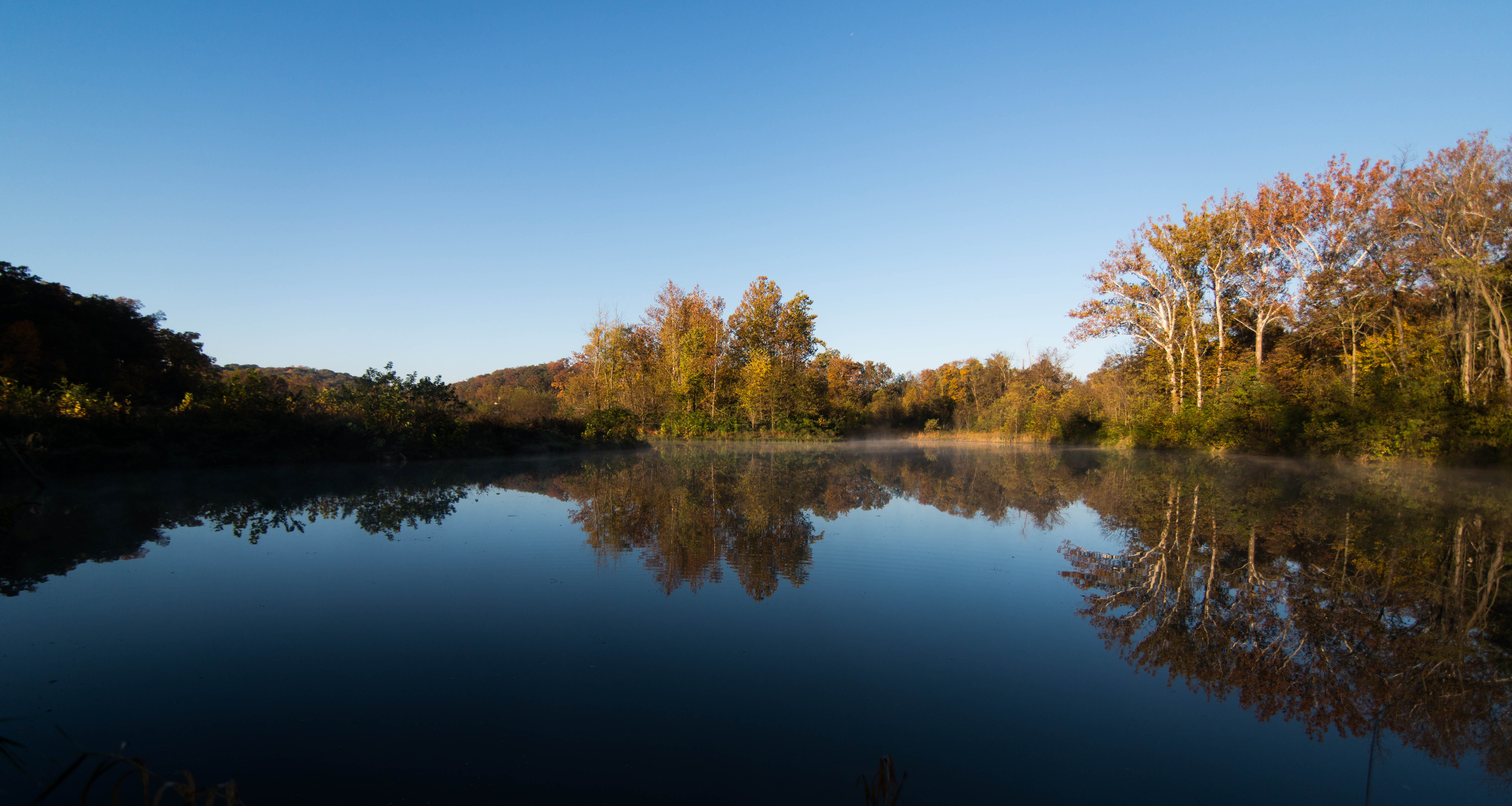
Still Waters

Big River Valley, near Hoene Spring, Missouri, USA

I can see for miles and miles

Rocky Man

Meramec Moments

Forest 44 Conservation Area, near Valley Park, Missouri, USA - panoramic night view of prairie and hill

Forest 44 Conservation Area, near Valley Park, Missouri, USA - night view of prairie and trees

Bee Tree County Park, in Saint Louis County, Missouri, USA - Mississippi River trail under forest canopy - Purkinje correction

Young Conservation Area, in Jefferson County, Missouri, USA - landscape with moon

Teszar's Woods - Missouri Department of Conservation forest - Arnold, MO_IMG_7474

A Peaceful Walk
Topographic Map of E Four Ridge Rd, Imperial, MO, USA
Find elevation by address:

Places near E Four Ridge Rd, Imperial, MO, USA:
5015 Fischer Way
5011 Fischer Way
Old Missouri 21, House Springs, MO, USA
Otto
Old Missouri 21, Imperial, MO, USA
3738 Rock Creek Valley Rd
4600 Newkirk
6021 Kassel Ct
4538 Ridge Rd
4020 W 4 Ridge Rd
4145 W 4 Ridge Rd
3552 Circle Dr
Imperial Township
Kneef Road
Rock Creek Road
3583 Sunrise Dr
2460 Doris
3693 Rock Creek Rd
4600 Hidden Acres
4921 Mahaw Dr
Recent Searches:
- Elevation of Shibuya Scramble Crossing, 21 Udagawacho, Shibuya City, Tokyo -, Japan
- Elevation of Jadagoniai, Kaunas District Municipality, Lithuania
- Elevation of Pagonija rock, Kranto 7-oji g. 8"N, Kaunas, Lithuania
- Elevation of Co Rd 87, Jamestown, CO, USA
- Elevation of Tenjo, Cundinamarca, Colombia
- Elevation of Côte-des-Neiges, Montreal, QC H4A 3J6, Canada
- Elevation of Bobcat Dr, Helena, MT, USA
- Elevation of Zu den Ihlowbergen, Althüttendorf, Germany
- Elevation of Badaber, Peshawar, Khyber Pakhtunkhwa, Pakistan
- Elevation of SE Heron Loop, Lincoln City, OR, USA