Elevation of Otto, MO, USA
Location: United States > Missouri > Jefferson County > Imperial Township >

Longitude: -90.500400

Latitude: 38.3708881

Elevation: 268m / 879feet

Barometric Pressure: 98KPa

Elevation Map:

elevation map of Otto, MO, USA

Satellite Map:

Satellite map of Otto, MO, USA

Related Photos:

square squareformat hefe iphoneography instagramapp uploaded:by=instagram foursquare:venue=4c0a9f67ffb8c9b67be56b61
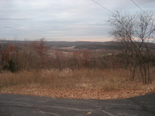
Snowy Ozarks view
square squareformat lordkelvin iphoneography instagramapp uploaded:by=instagram foursquare:venue=4c0a9f67ffb8c9b67be56b61
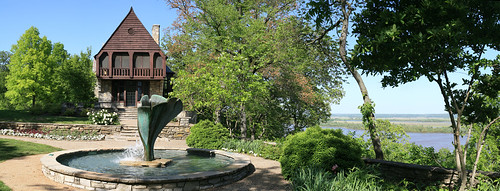
Pretty noon view at church
river waterfall nikon dam cliffs missouri d300 bigriver jeffersoncounty rockfordbeach platinumheartaward 1424mmf28nikkor ©copyright bigriverdam
Rockford Beach - Boat Ramp
river waterfall nikon dam cliffs missouri d300 bigriver jeffersoncounty rockfordbeach 1424mmf28nikkor ©copyright bigriverdam
Rockford Beach - Big River Dam
morning mist fall home colors sunrise view jeffersoncounty
Porch panorama
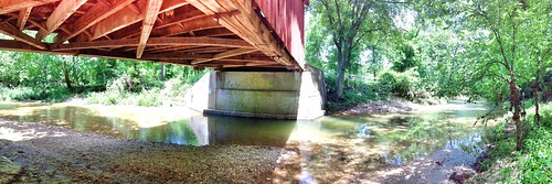
Under the bridge differing view
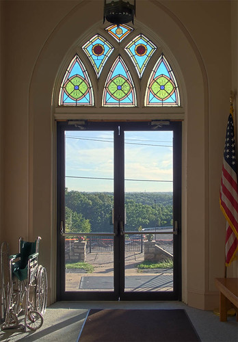
missouri stainedglasswindow stjosephcatholicchurch imperialmo archdioceseofsaintlouis
Stained Glass Window - St. Joseph Catholic Church - Imperial, MO_IMG_2331
illinois missouri mississippiriver jeffersoncountymo herculaneummo monroecountyill
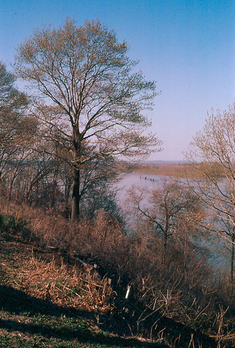
Mississippi River, Herculaneum (Mo.), 18 April 1980
lines electric mississippi giant cool power hill pylon rivercrossing meramec
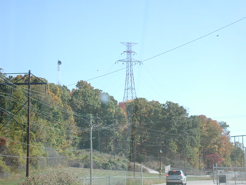
View of pylon crossing the Mississippi River from Meramec Power Plant
illinois missouri mississippiriver jeffersoncountymo herculaneummo monroecountyill
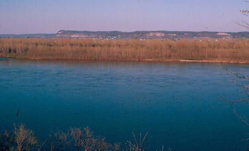
Mississippi River, Herculaneum (Mo.), 18 April 1980
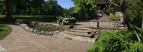
panorama
Bee Tree Park 03 crop
panorama
Bee Tree Park 05 crop
old sign hm vacancy pleasantviewmotel jeffersoncountymissouri jeffcoblvd
Jeffco Blvd., Pleasant View Motel sign_IMG_9896
panorama
Bee Tree Park 06 crop
church catholic
Immaculate Conception Roman Catholic Church, in Arnold, Missouri, USA - view out front door.jpg
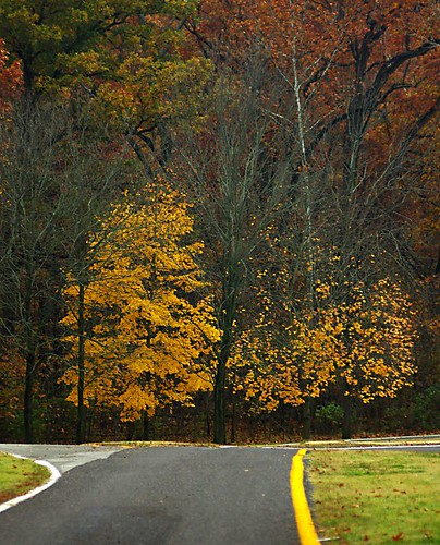
View From the Road
house geotagged view hill geotoolblockrockercom geolat3844348473855565 geolon9055127441883087
Hill View
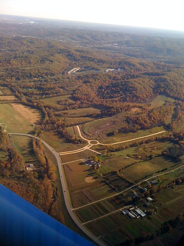
Aerial View
vacation mo missouri kimmswick 2013 nikond800
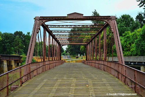
Windsor Harbor Road Bridge
square squareformat normal iphoneography instagramapp uploaded:by=instagram foursquare:venue=4c78336cdf08a1cdba9cd65d
Powering through the #fields.
Mraz3-38
mississippi waterscape
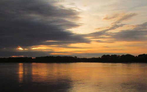
Sunrise on the Mississippi
lake lazymranch
Surveying the Lake
nature photoshop landscape bokeh adobe missouri hillsboro hdr lightroom historicsite sandycreekcoveredbridge canoneos70d williamdavisphotographysmugmugcom
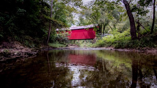
Sandy Creek Covered Bridge, MO
water rural creek natural missouri jeffersoncounty
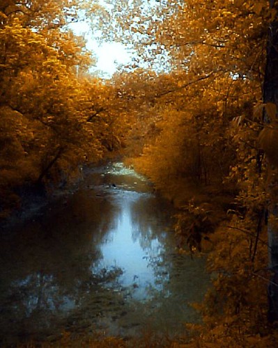
Sand Creek
Saline Valley - Painterly
autumn sunset fall field farm valley fenton
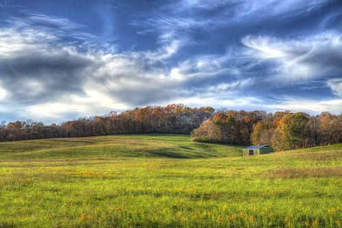
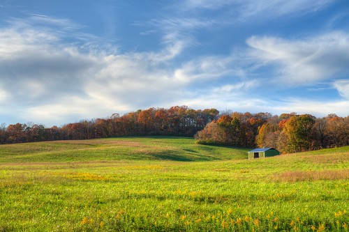
Saline Valley
nature water creek landscapes scenics digitalmanipulation jeffersoncountymissouri
Sandy Creek
hiking missouri bordercollie ozarks beau eureka missouriparks hildayoungconservation
IMG_2819_edited-1.JPG
"OK, Google: local park with swimming"
A Hill
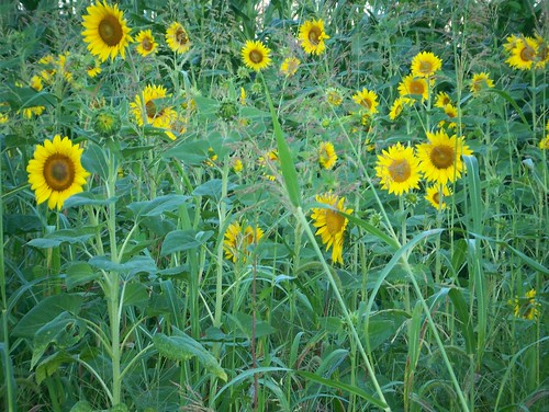
sunflower patch
I Discovered This Color Selection Feature of My Camera
Winter Sky
Big River Valley, near Hoene Spring, Missouri, USA
square squareformat mayfair iphoneography instagramapp uploaded:by=instagram foursquare:venue=4c0a9f67ffb8c9b67be56b61
Good Friday Service -- couldn't have better more beautiful weather! (and better fire pits :) haha
hiking missouri bordercollie ozarks beau eureka missouriparks hildayoungconservation
IMG_2836_edited-1.JPG
autumn trees tree landscapes fallcolors stlouis missouri scenics beetreepark lowpersepective
Hiding in the woods
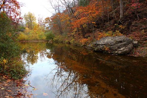
Fall Colors