Elevation of Fairfield Rd, East Fairfield, VT, USA
Location: United States > Vermont > Franklin County > Fletcher > East Fairfield >
Longitude: -72.937665
Latitude: 44.7008858
Elevation: 267m / 876feet
Barometric Pressure: 98KPa
Elevation Map:
Satellite Map:
Related Photos:

A Side-View of the Grist Mill Covered Bridge, Green Mountains, Vermont (VT) (DSH_5400-01)

Road into Foggy Uncertainty (DSH_5313)

Female Ruby-throated hummingbird

The view from my backyard. Gorge. Winter spring summer or fall. So lucky to call this place home. #vermont #lakechamplain

Brewster River Gorge
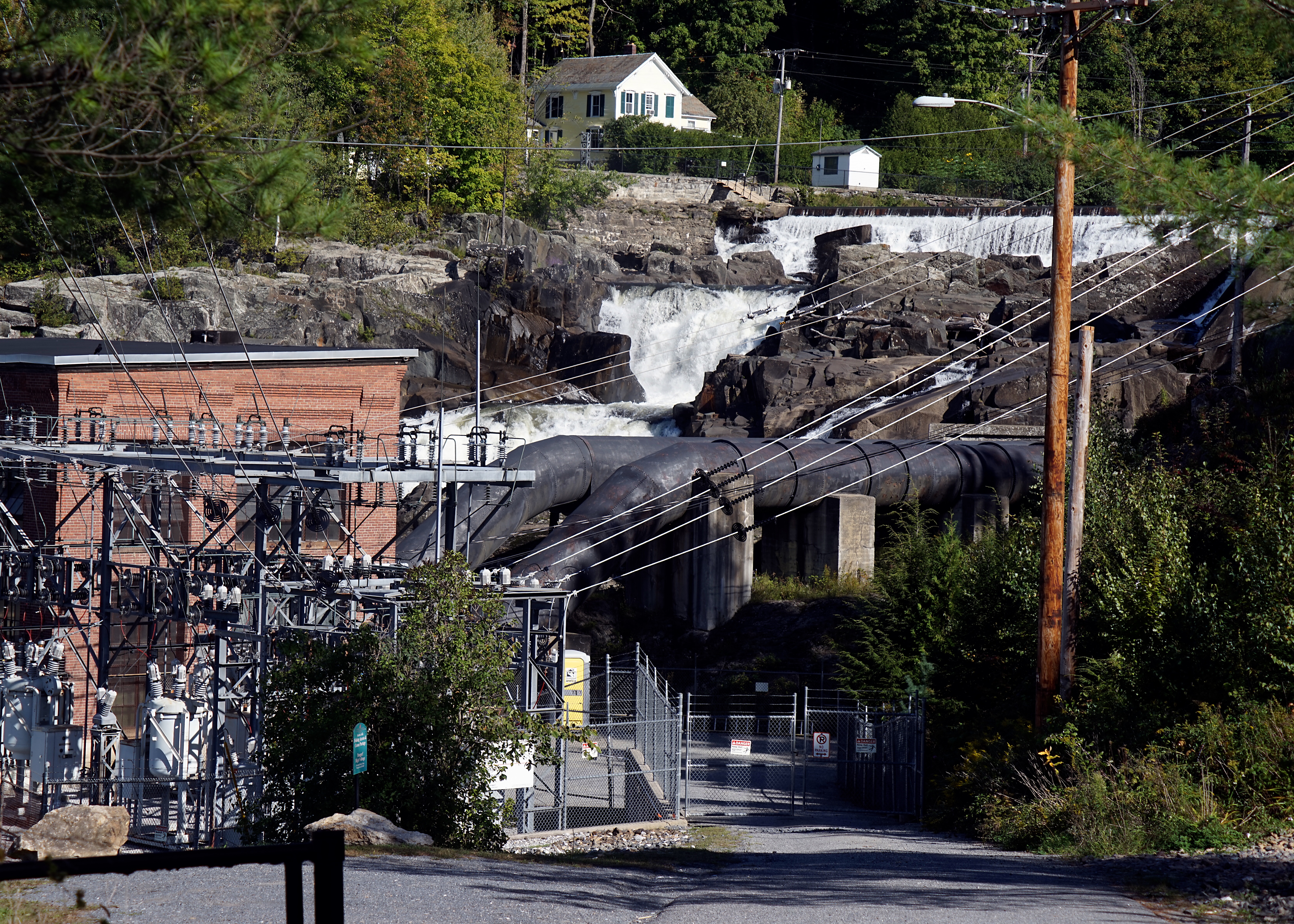
Fairfax Falls

The North Star

My view from the back deck on Sunday. I miss this house and this view. #viewfromthedeck #fallfoliage #mountmansfield #westford #vt #vermont #redboots

View on Mt. Mansfield, VT

Another View of the Fall

Deer hut at camp

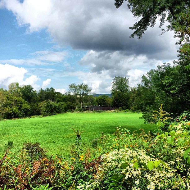
View of the field off East Road

QUESTION MARK

Rt 15, Grand Army of the Republic Highway, Vermont

View from Hardscrabble Road

QUESTION MARK

Rt 15, Grand Army of the Republic Highway, Vermont

Mount Mansfield, Vermont's highest peak, viewed from Pleasant Valley.
View are spectacular in Vermont. Old train bridge in the path #outforawalk #vt #vtphoto #vermont #vermontbyvermonters #greenmountainstate #instagood #photooftheday #igvermont #ignewengland #cloudporn #cloudscape #beautiful #blueskies

RED ADMIRAL

Mt. SterlingJeffersonville,VT.

Stone Brook with Sun and Ice

Tinker Farm in Fletcher, Vermont

Morning in Vermont

Montgomery Covered Bridge

Lower Falls

Jaynes Covered Bridge

Thomson Rd.

House and Barn, Jeffersonville, Vermont.

Christmas tree farm in Bakersfield, VT

Brewster River, Jeffersonville, Vermont

Alden Bryan Brewster River Trail, Jeffersonville, Vermont
Burning off the fog

Colorful Adirondack chairs
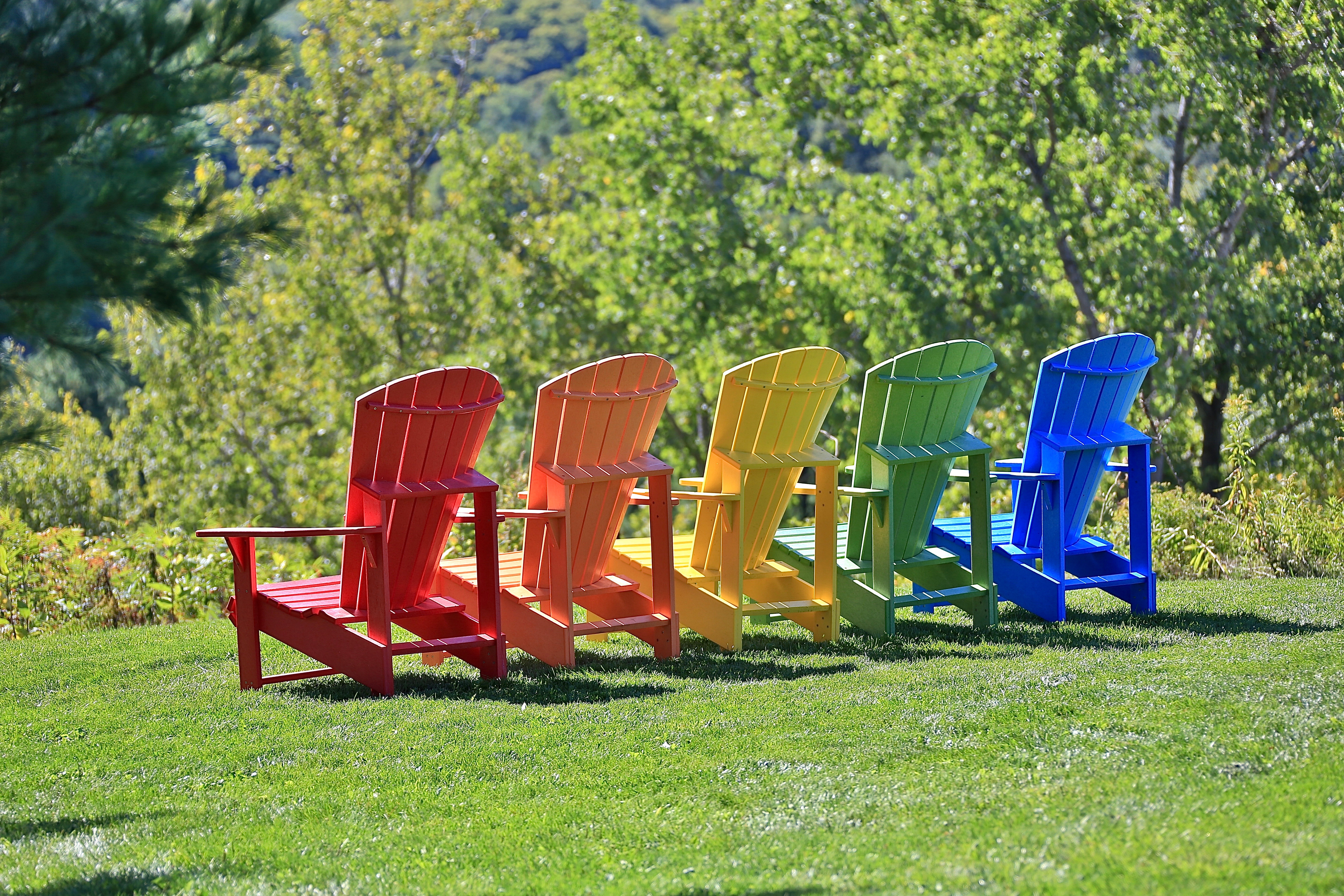
Colorful Adirondack chairs

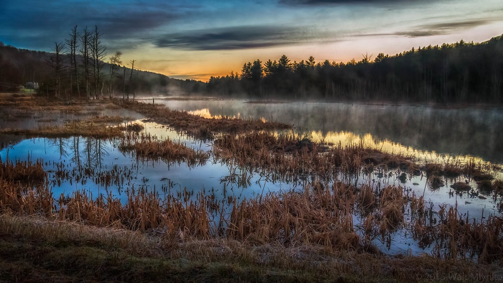
Vermont Pond

Clark Falls Dam in Milton, Vt

Milton Falls

Fairfax Falls, Vermont-7357
Topographic Map of Fairfield Rd, East Fairfield, VT, USA
Find elevation by address:

Places near Fairfield Rd, East Fairfield, VT, USA:
Fletcher
4110 Fairfield Rd
135 Tabor Hill Rd
1013 Will George Rd
71 Lawton Rd
460 Goose Pond Rd
Shepardson Hollow Road
1467 Buck Hollow Rd
1254 Buck Hollow Rd
1359 Taylor Rd
40 Rowland Rd
385 N Cambridge Rd
383 Moore Rd
Gaudette Farm Road
408 Town Hwy 21
Fairfax
1188 Main St
250 Whitefield Dr
Fairfield
2 Austin Rd
Recent Searches:
- Elevation of Congressional Dr, Stevensville, MD, USA
- Elevation of Bellview Rd, McLean, VA, USA
- Elevation of Stage Island Rd, Chatham, MA, USA
- Elevation of Shibuya Scramble Crossing, 21 Udagawacho, Shibuya City, Tokyo -, Japan
- Elevation of Jadagoniai, Kaunas District Municipality, Lithuania
- Elevation of Pagonija rock, Kranto 7-oji g. 8"N, Kaunas, Lithuania
- Elevation of Co Rd 87, Jamestown, CO, USA
- Elevation of Tenjo, Cundinamarca, Colombia
- Elevation of Côte-des-Neiges, Montreal, QC H4A 3J6, Canada
- Elevation of Bobcat Dr, Helena, MT, USA