Elevation of Taylor Rd, East Fairfield, VT, USA
Location: United States > Vermont > Franklin County > Fletcher >
Longitude: -72.880508
Latitude: 44.7367739
Elevation: 230m / 755feet
Barometric Pressure: 99KPa
Elevation Map:
Satellite Map:
Related Photos:
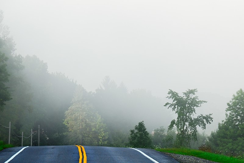
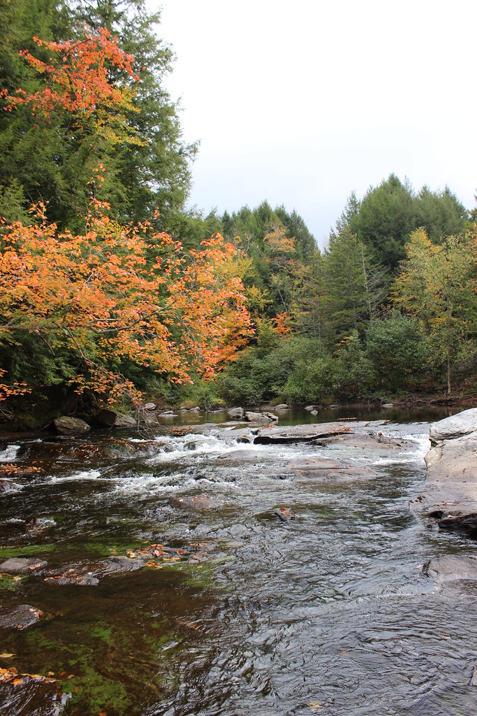
Road into Foggy Uncertainty (DSH_5313)
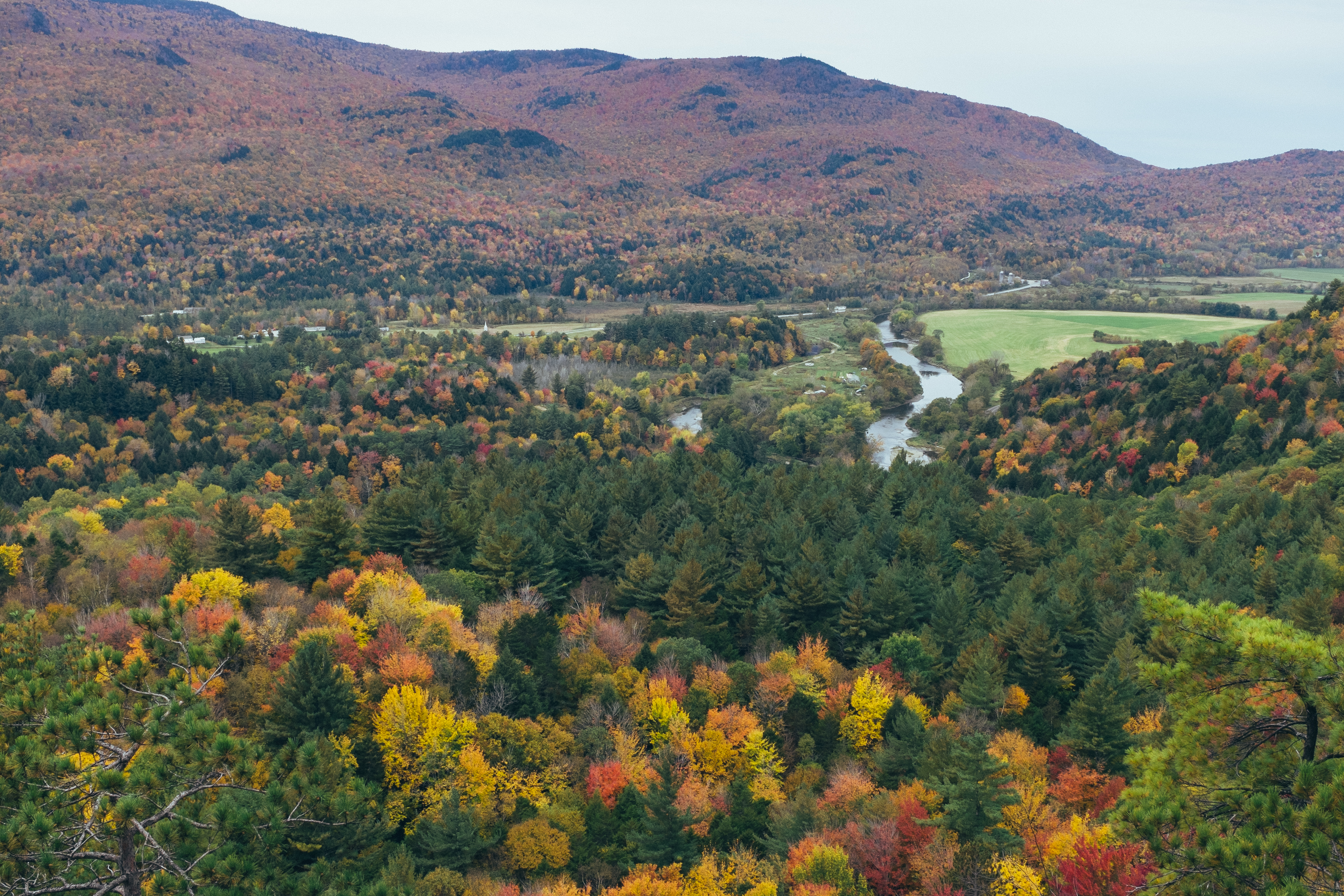
Prospect Rock
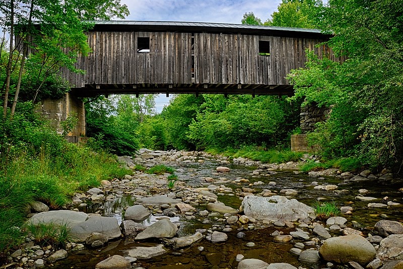
View are spectacular in Vermont. Old train bridge in the path #outforawalk #vt #vtphoto #vermont #vermontbyvermonters #greenmountainstate #instagood #photooftheday #igvermont #ignewengland #cloudporn #cloudscape #beautiful #blueskies

panoramic view from the summit of Prospect Rock

view from Prospect Rock summit
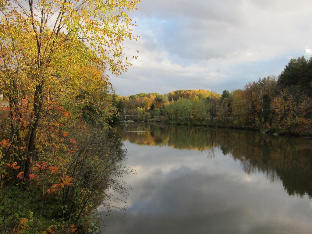
view from the Lamoille River Foot Bridge
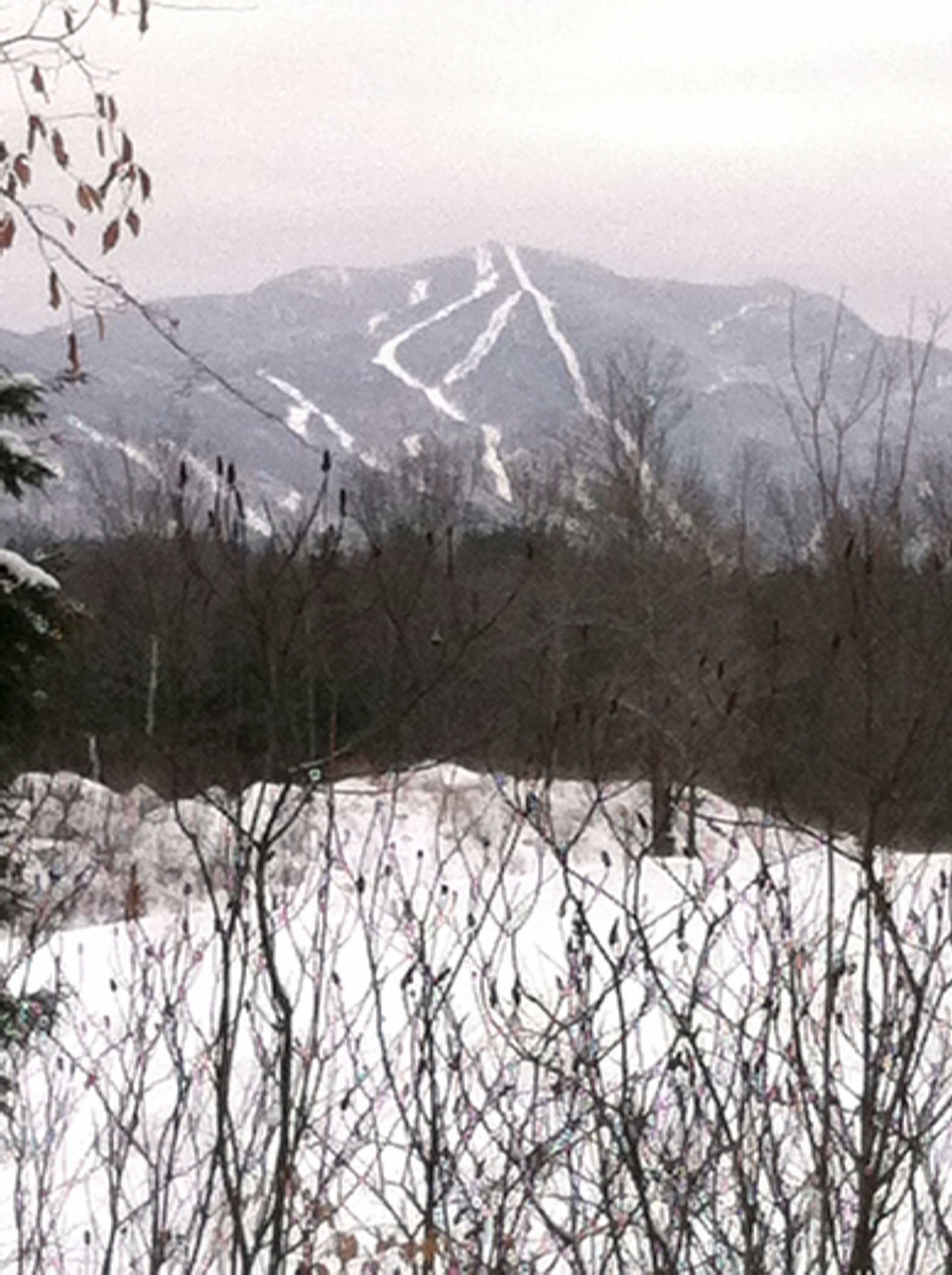
Mt. SterlingJeffersonville,VT.

view from Prospect Rock summit
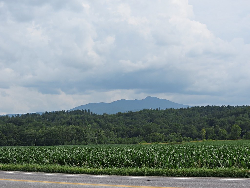
Rt 15, Grand Army of the Republic Highway, Vermont
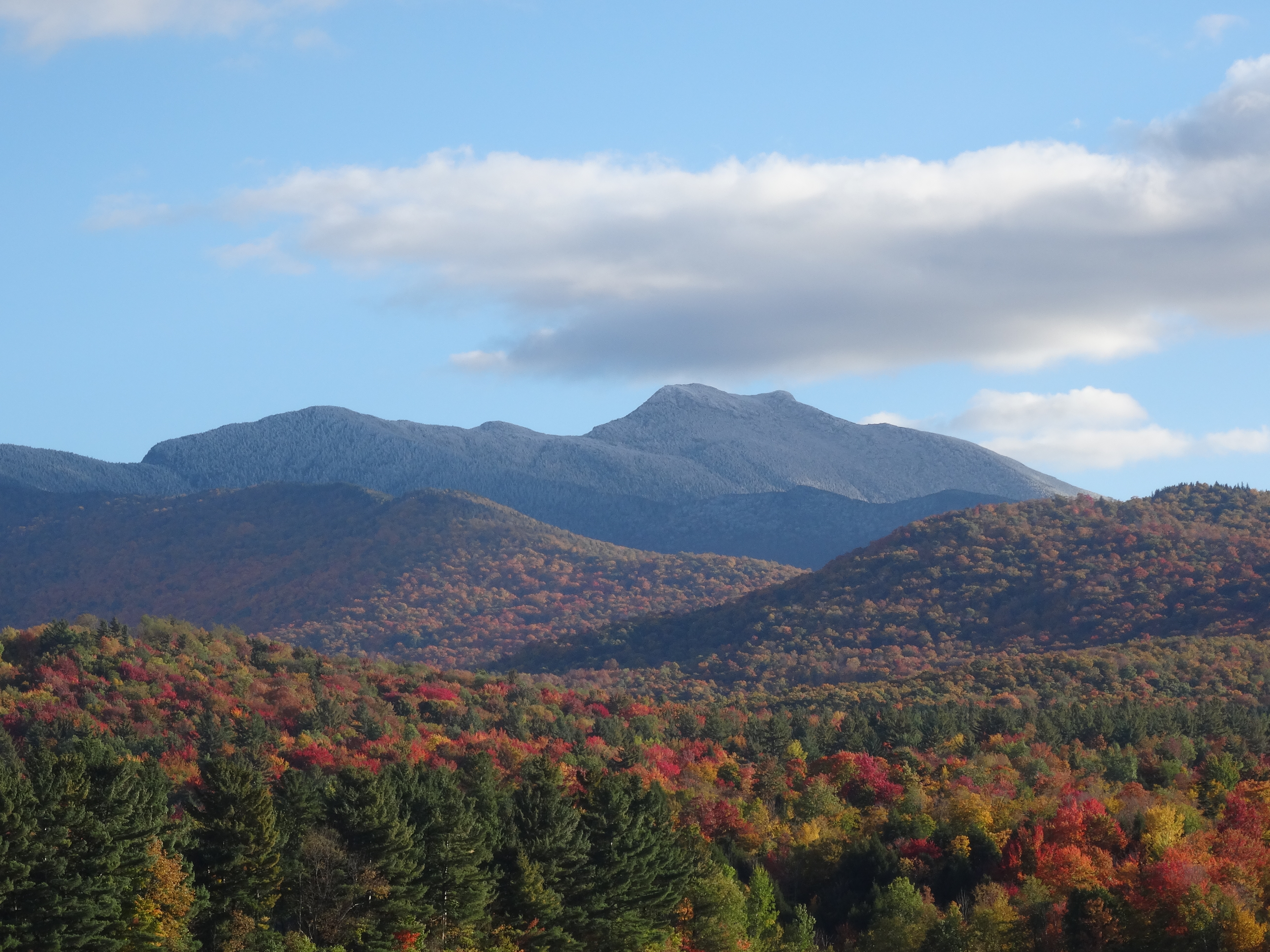
View on Mt. Mansfield, VT
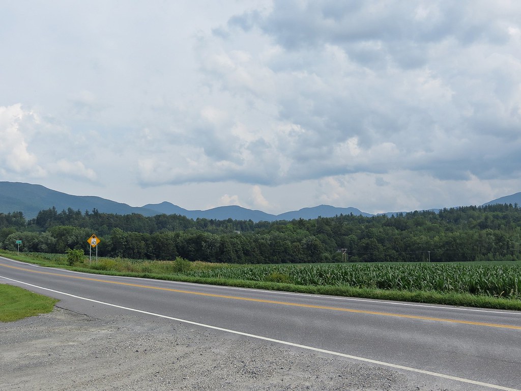
Rt 15, Grand Army of the Republic Highway, Vermont
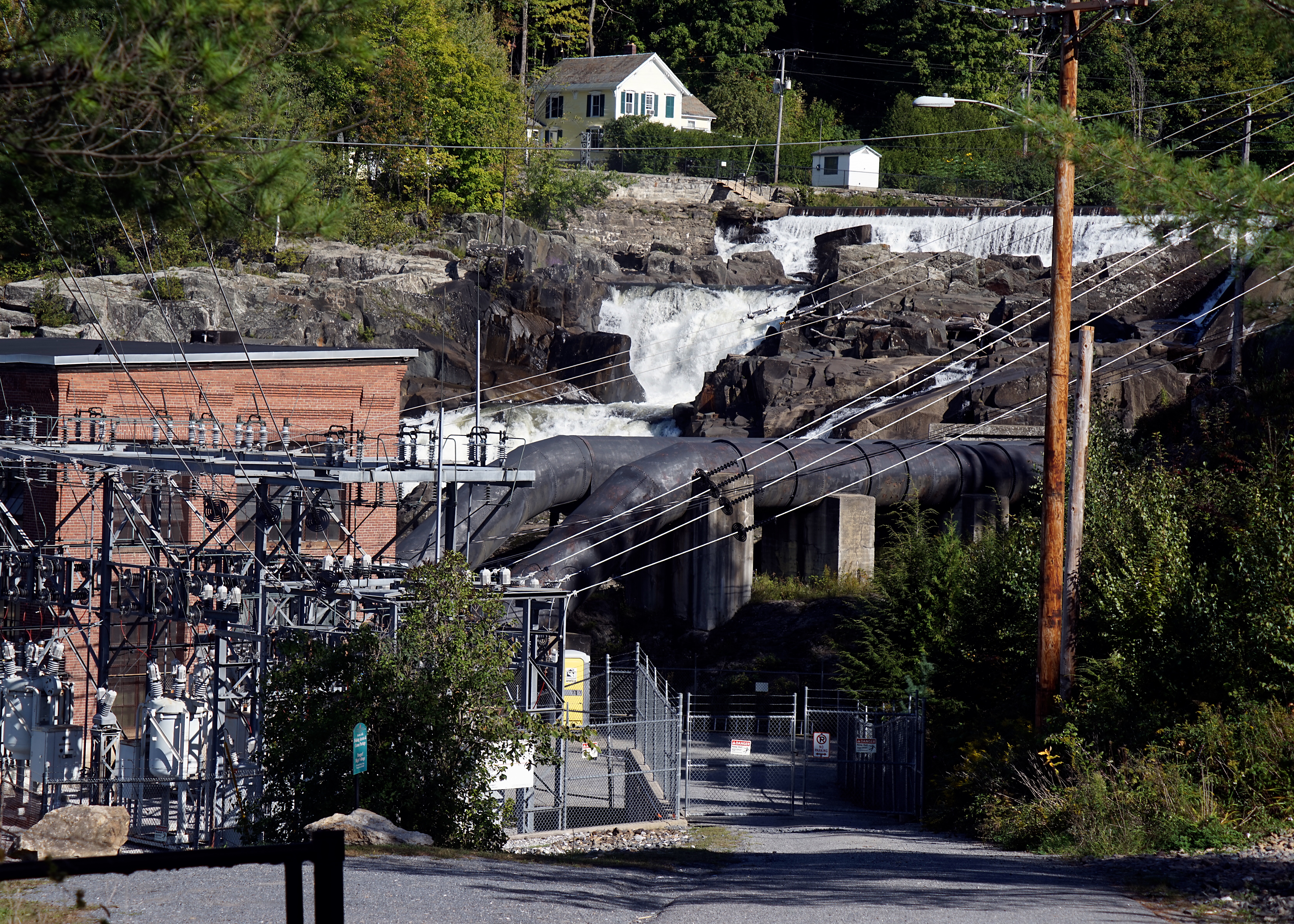
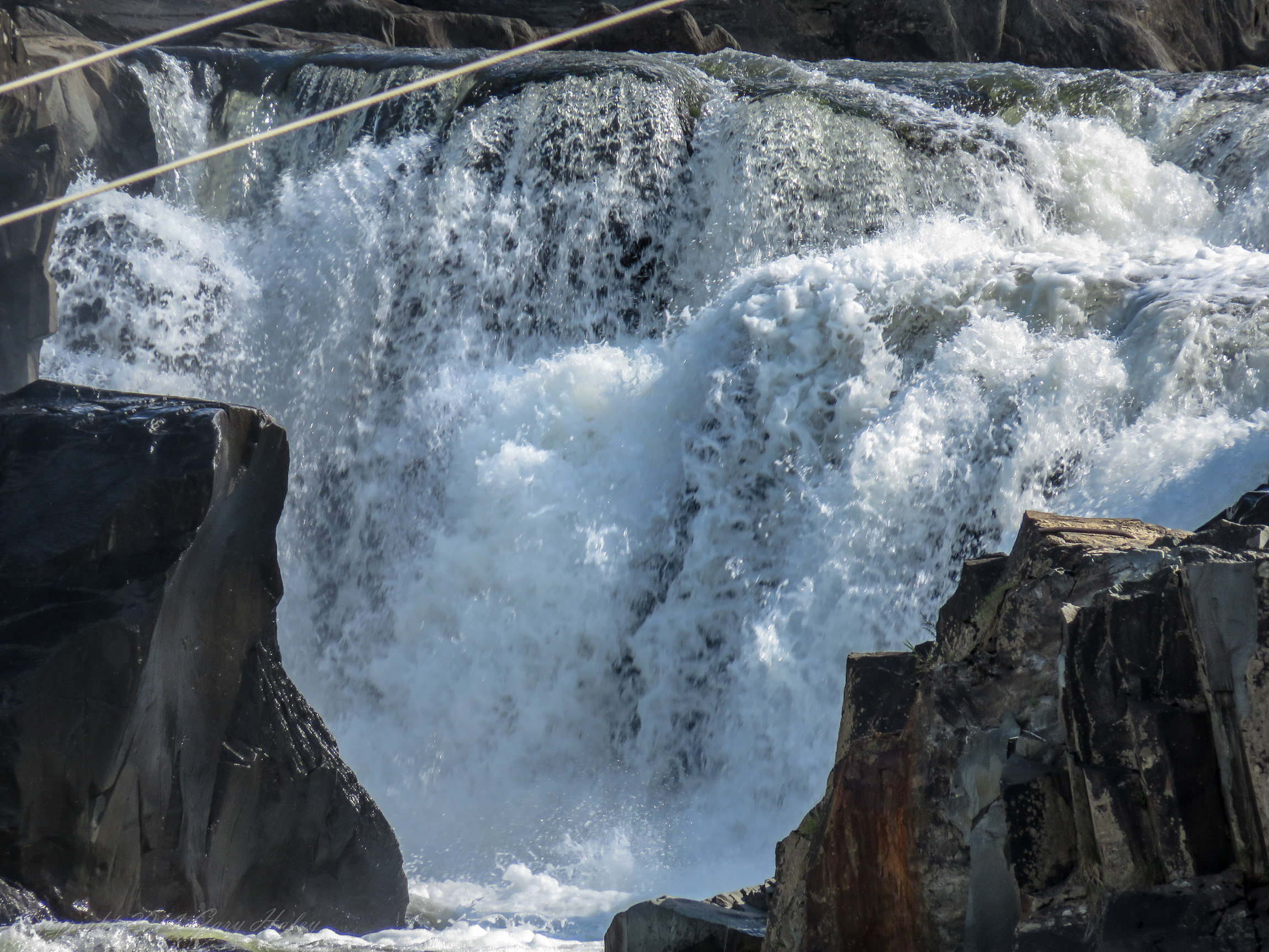
Fairfax Falls
View from one of my running routes

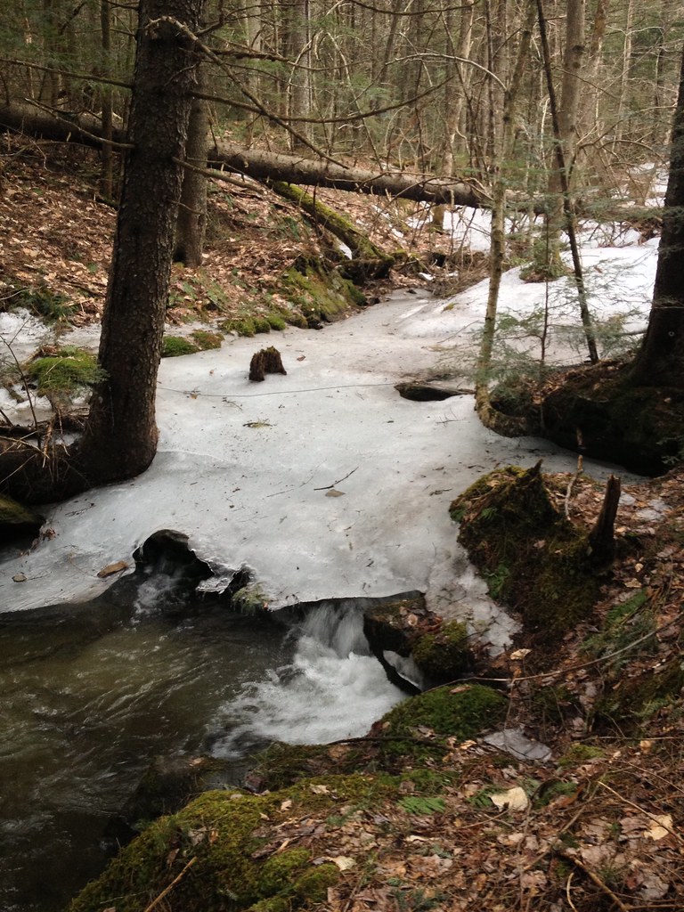
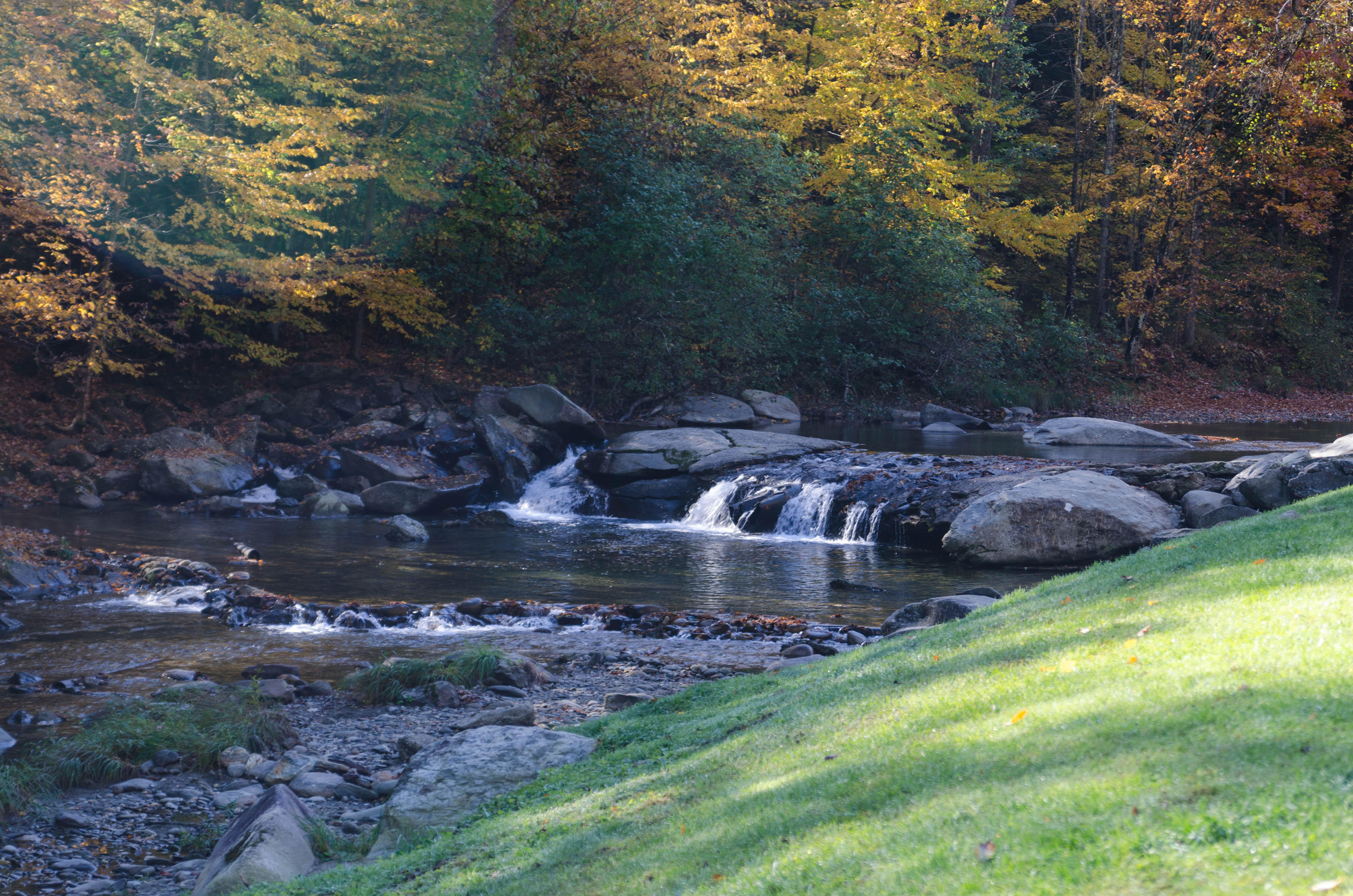
Brewster River Gorge
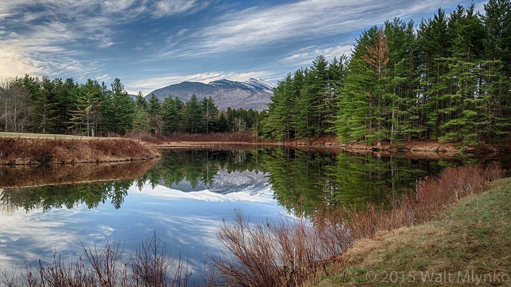
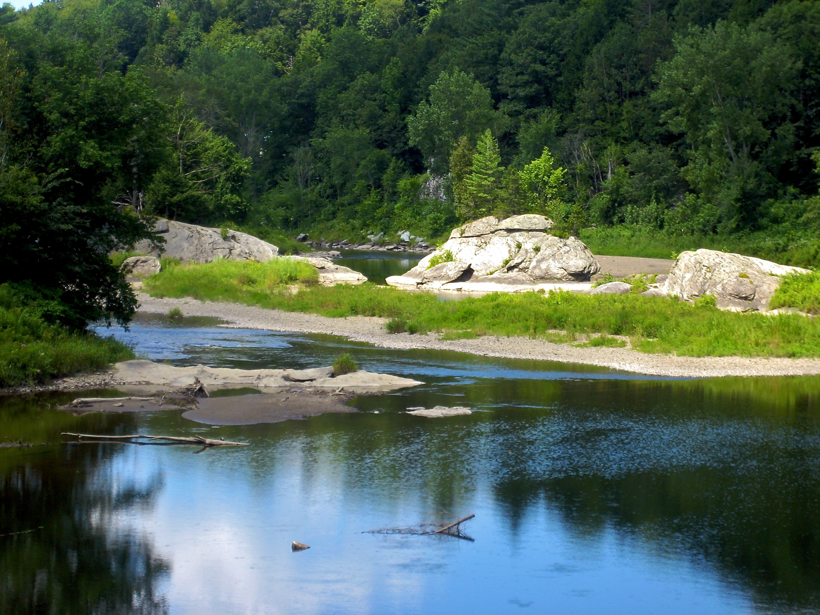
Vermont Pond
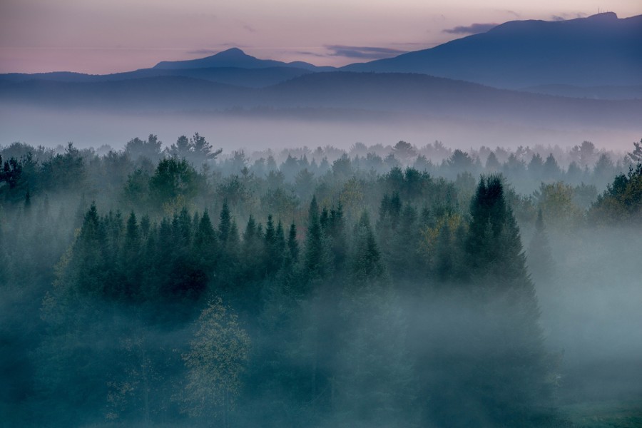
Morning in Vermont

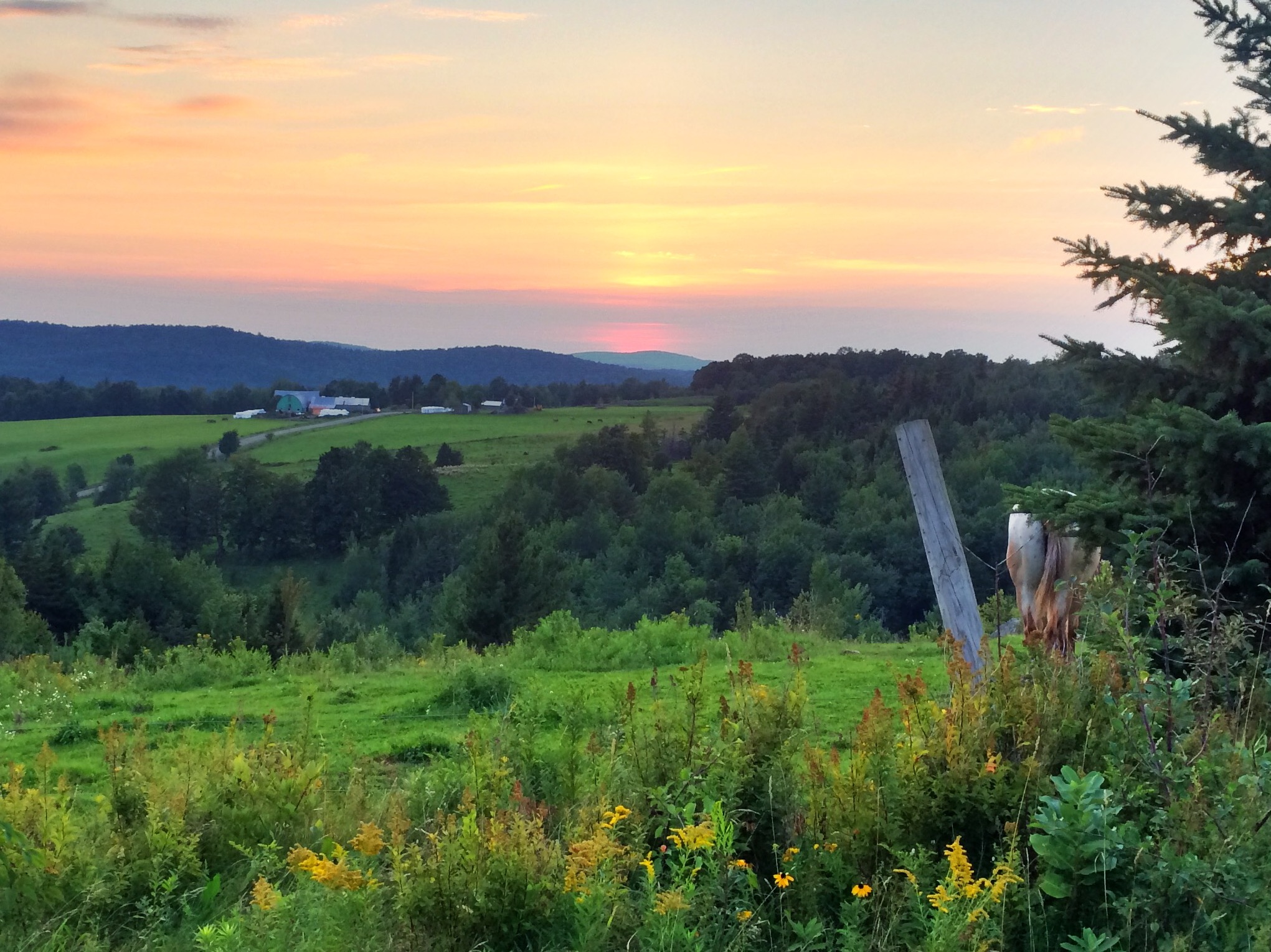
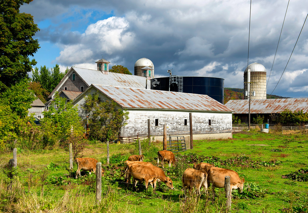
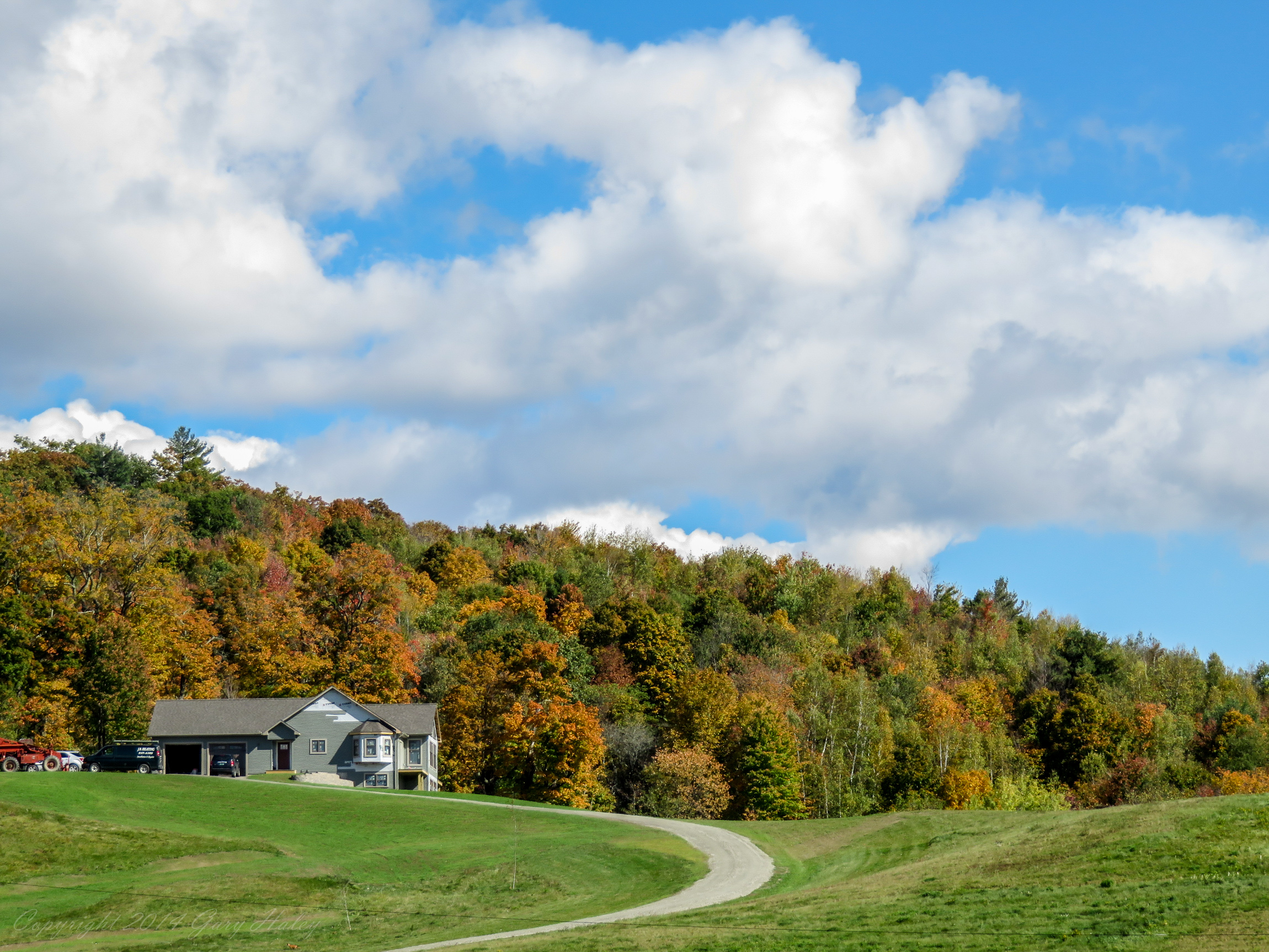
Tinker Farm in Fletcher, Vermont
Jaynes Covered Bridge

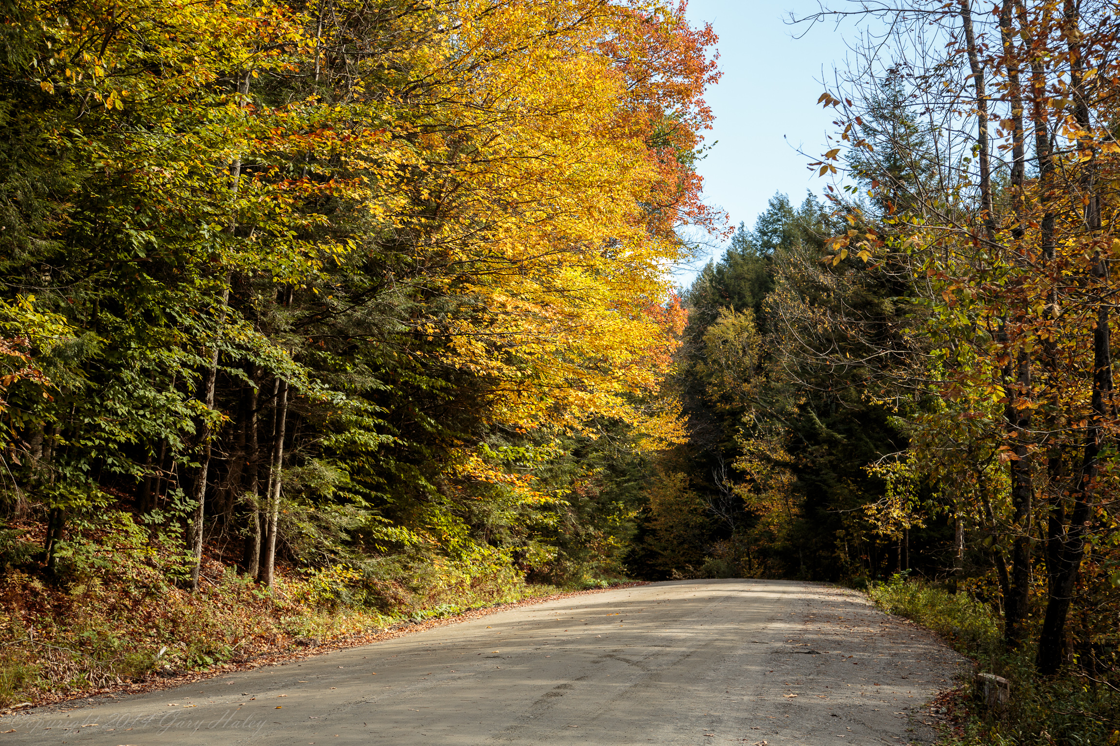
Fall_Folliage_2014-1002
Fall_Folliage_2014-1001
2013-04-11 18.49.37 HDR
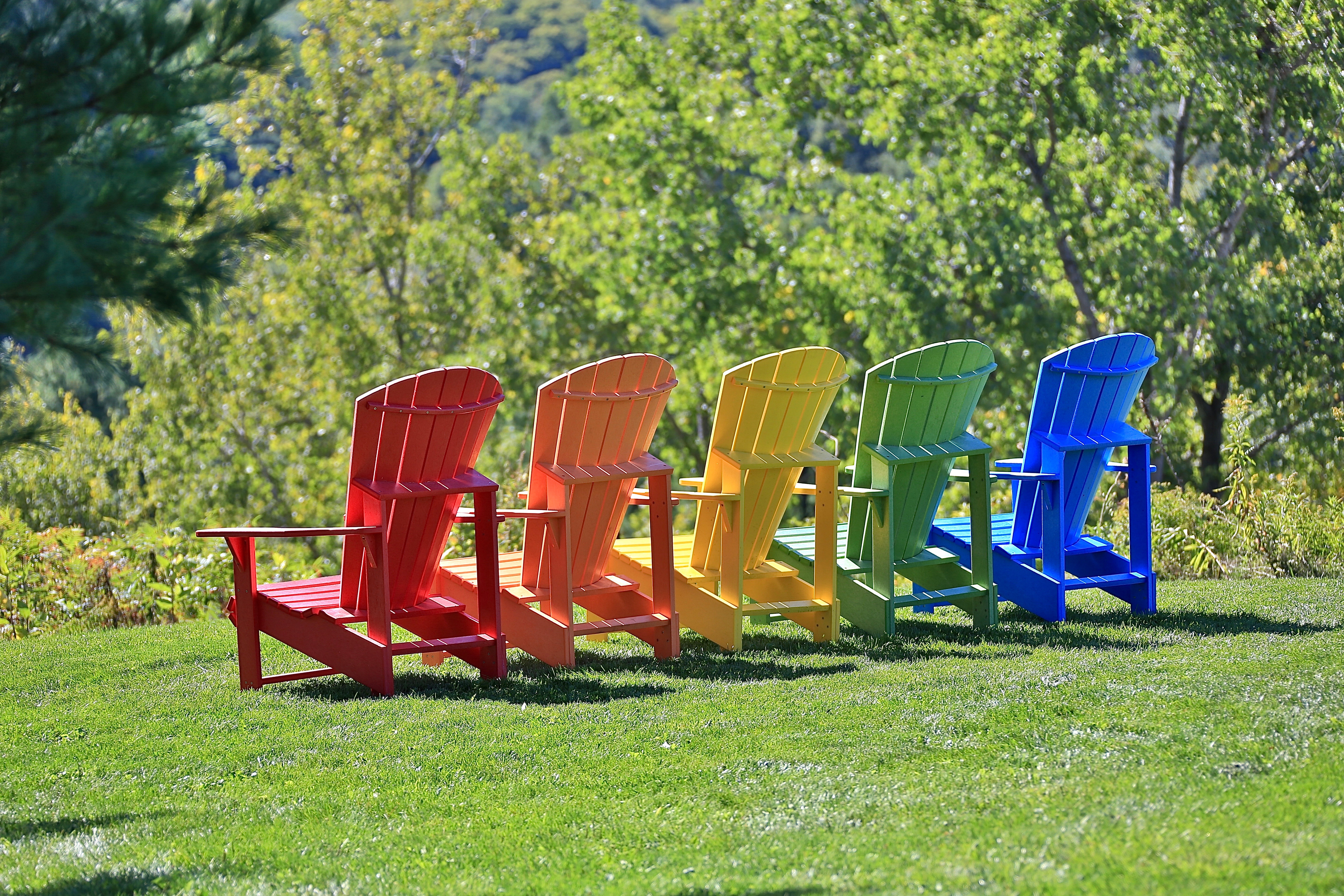
Colorful Adirondack chairs
t42_901120151011_DSC5284.jpg
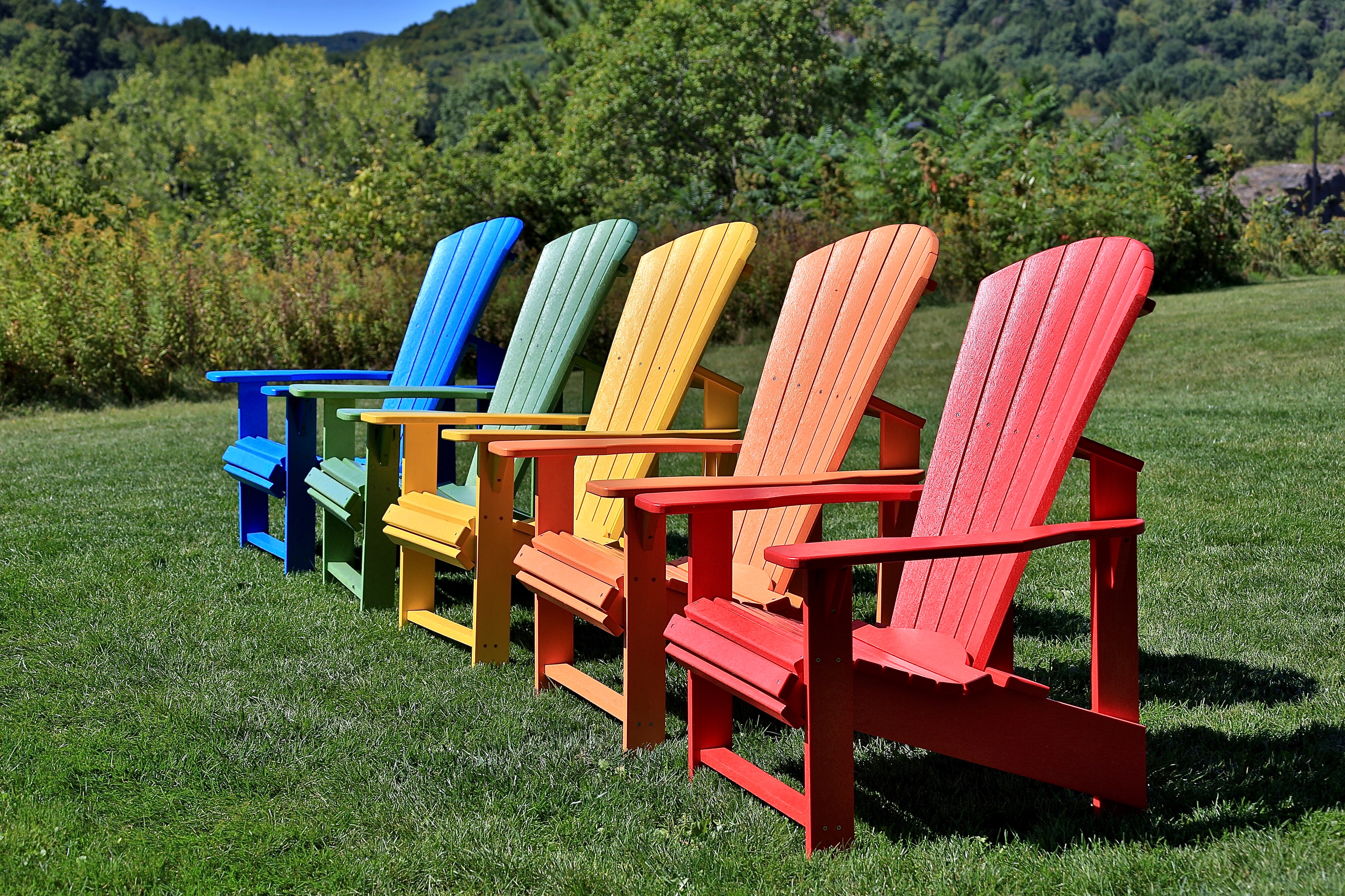
Colorful Adirondack chairs
Fall_Folliage_2014-1006
Brewster River, Jeffersonville, Vermont
Fall_Folliage_2014-1004

vt_hdr_067.jpg
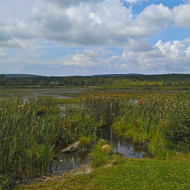
Marsh madness
Vermont in autumn 05
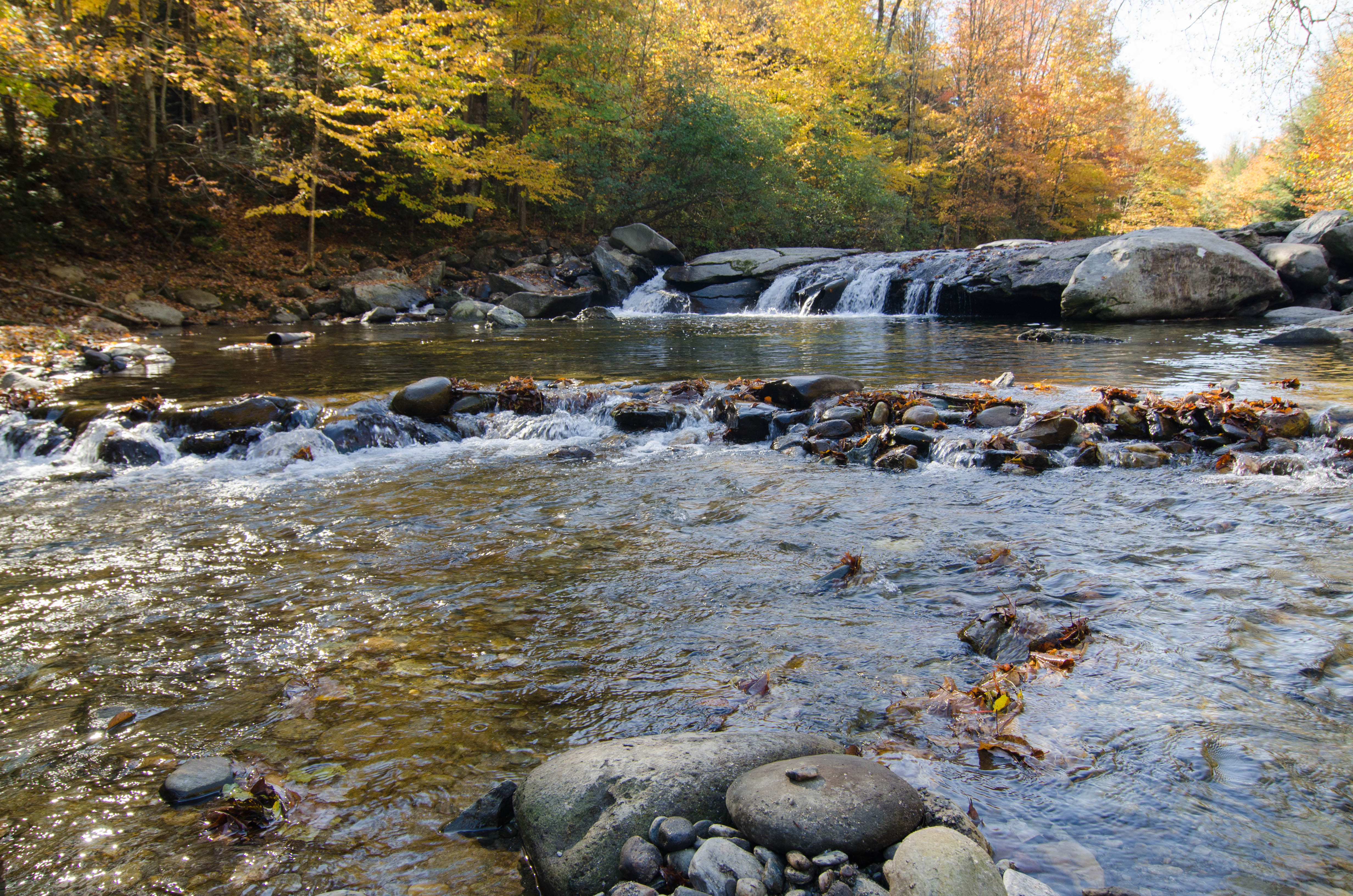
Brewster River, Jeffersonville, Vermont
Fall in Vermont
Fall_Folliage_2014-1021
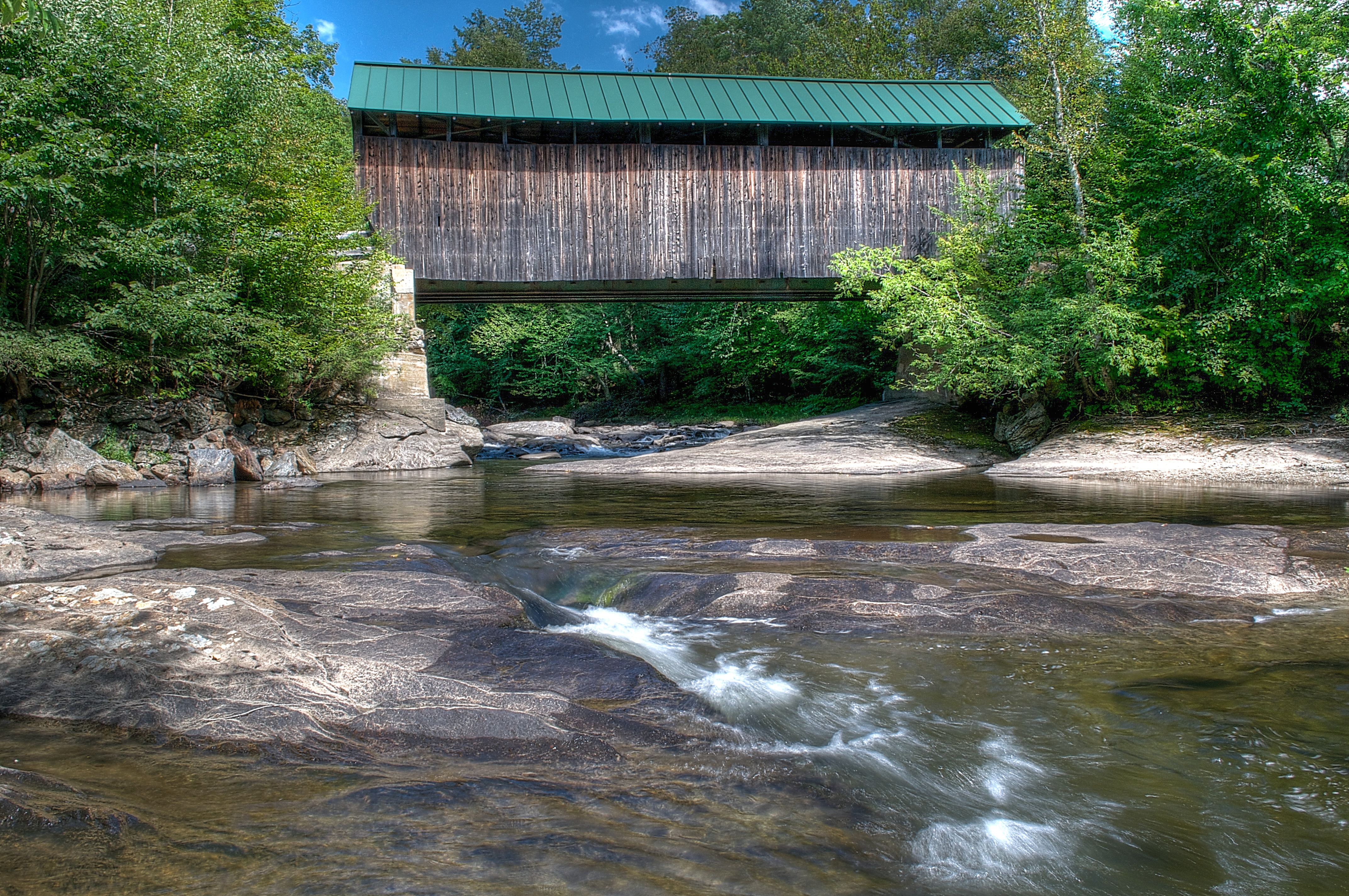
A Side-View of the Grist Mill Covered Bridge, Green Mountains, Vermont (VT) (DSH_5400-01)
Topographic Map of Taylor Rd, East Fairfield, VT, USA
Find elevation by address:

Places near Taylor Rd, East Fairfield, VT, USA:
383 Moore Rd
1013 Will George Rd
East Fairfield
1828 Fairfield Rd
4110 Fairfield Rd
385 N Cambridge Rd
Fletcher
250 Whitefield Dr
Bakersfield
Fairfield
135 Tabor Hill Rd
71 Lawton Rd
1467 Buck Hollow Rd
Cambridge Junction Rd, Jeffersonville, VT, USA
1254 Buck Hollow Rd
460 Goose Pond Rd
1391 Church Rd
1391 Church Rd
1391 Church Rd
1391 Church Rd
Recent Searches:
- Elevation of Tenjo, Cundinamarca, Colombia
- Elevation of Côte-des-Neiges, Montreal, QC H4A 3J6, Canada
- Elevation of Bobcat Dr, Helena, MT, USA
- Elevation of Zu den Ihlowbergen, Althüttendorf, Germany
- Elevation of Badaber, Peshawar, Khyber Pakhtunkhwa, Pakistan
- Elevation of SE Heron Loop, Lincoln City, OR, USA
- Elevation of Slanický ostrov, 01 Námestovo, Slovakia
- Elevation of Spaceport America, Co Rd A, Truth or Consequences, NM, USA
- Elevation of Warwick, RI, USA
- Elevation of Fern Rd, Whitmore, CA, USA