Elevation of Bakersfield, VT, USA
Location: United States > Vermont > Franklin County >
Longitude: -72.802908
Latitude: 44.7819927
Elevation: 220m / 722feet
Barometric Pressure: 99KPa
Elevation Map:
Satellite Map:
Related Photos:

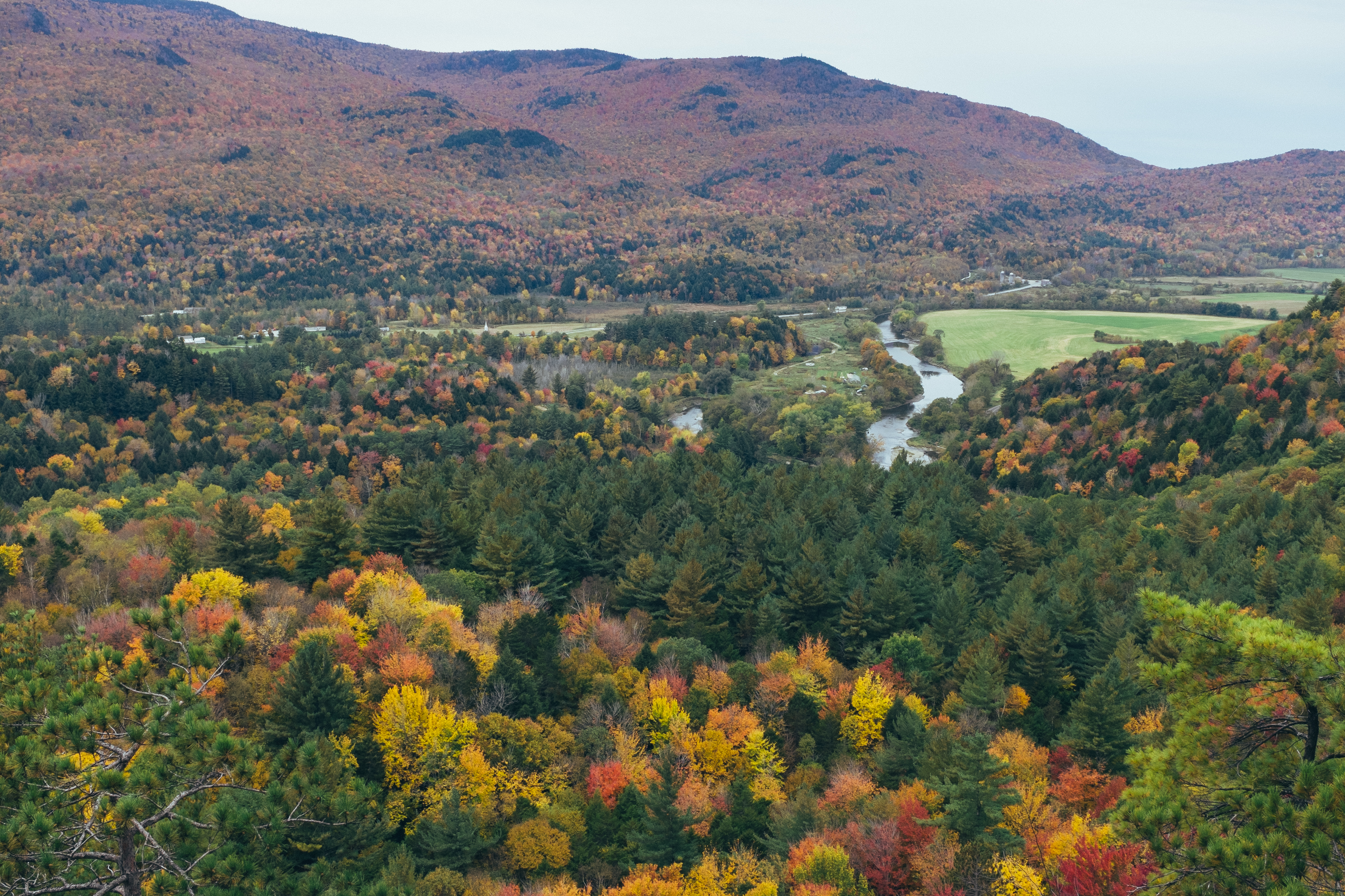
view from Prospect Rock summit
Prospect Rock

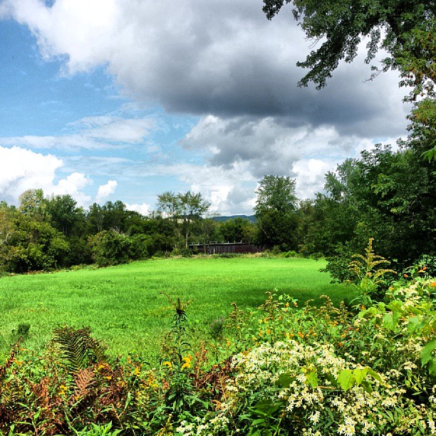
Morning Fog

view from Prospect Rock summit
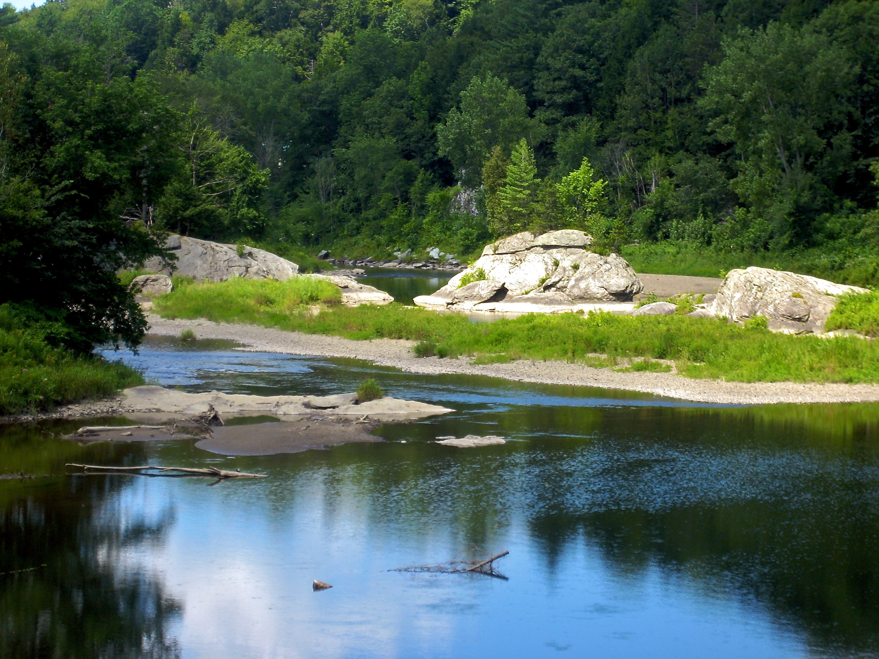
view from the Lamoille River Foot Bridge
View are spectacular in Vermont. Old train bridge in the path #outforawalk #vt #vtphoto #vermont #vermontbyvermonters #greenmountainstate #instagood #photooftheday #igvermont #ignewengland #cloudporn #cloudscape #beautiful #blueskies
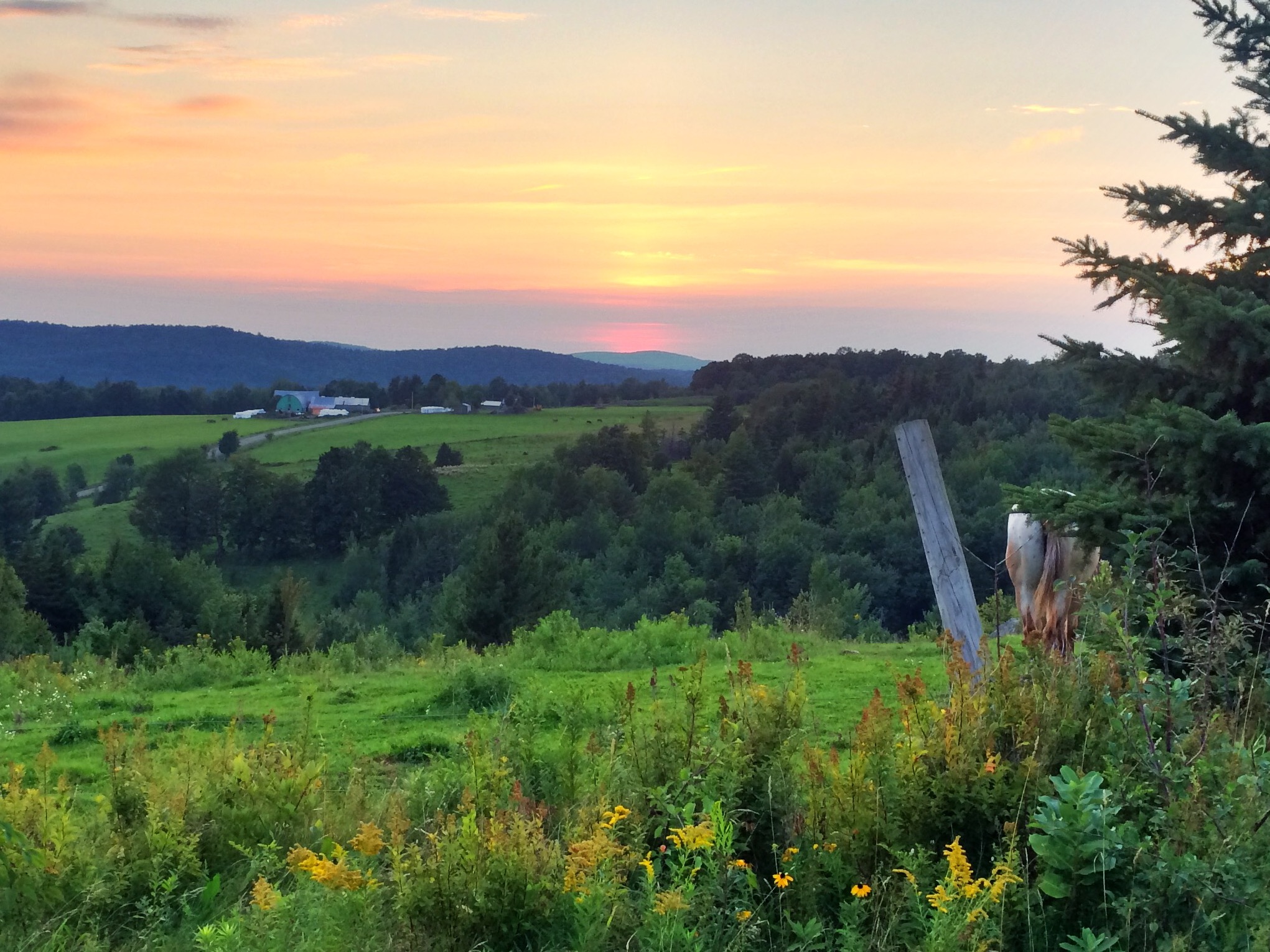
View from one of my running routes
Topographic Map of Bakersfield, VT, USA
Find elevation by address:

Places near Bakersfield, VT, USA:
2590 Main St N
East Fairfield
1359 Taylor Rd
383 Moore Rd
Cambridge Junction Rd, Jeffersonville, VT, USA
1013 Will George Rd
385 N Cambridge Rd
Fairfield
250 Whitefield Dr
1828 Fairfield Rd
4110 Fairfield Rd
Fletcher
1391 Church Rd
1391 Church Rd
1391 Church Rd
1391 Church Rd
1467 Buck Hollow Rd
135 Tabor Hill Rd
71 Lawton Rd
1254 Buck Hollow Rd
Recent Searches:
- Elevation of Corso Fratelli Cairoli, 35, Macerata MC, Italy
- Elevation of Tallevast Rd, Sarasota, FL, USA
- Elevation of 4th St E, Sonoma, CA, USA
- Elevation of Black Hollow Rd, Pennsdale, PA, USA
- Elevation of Oakland Ave, Williamsport, PA, USA
- Elevation of Pedrógão Grande, Portugal
- Elevation of Klee Dr, Martinsburg, WV, USA
- Elevation of Via Roma, Pieranica CR, Italy
- Elevation of Tavkvetili Mountain, Georgia
- Elevation of Hartfords Bluff Cir, Mt Pleasant, SC, USA