Elevation of Moore Rd, Jeffersonville, VT, USA
Location: United States > Vermont > Chittenden County > Underhill > Jeffersonville >
Longitude: -72.865912
Latitude: 44.7112507
Elevation: 279m / 915feet
Barometric Pressure: 98KPa
Elevation Map:
Satellite Map:
Related Photos:

Road into Foggy Uncertainty (DSH_5313)
Prospect Rock
View are spectacular in Vermont. Old train bridge in the path #outforawalk #vt #vtphoto #vermont #vermontbyvermonters #greenmountainstate #instagood #photooftheday #igvermont #ignewengland #cloudporn #cloudscape #beautiful #blueskies
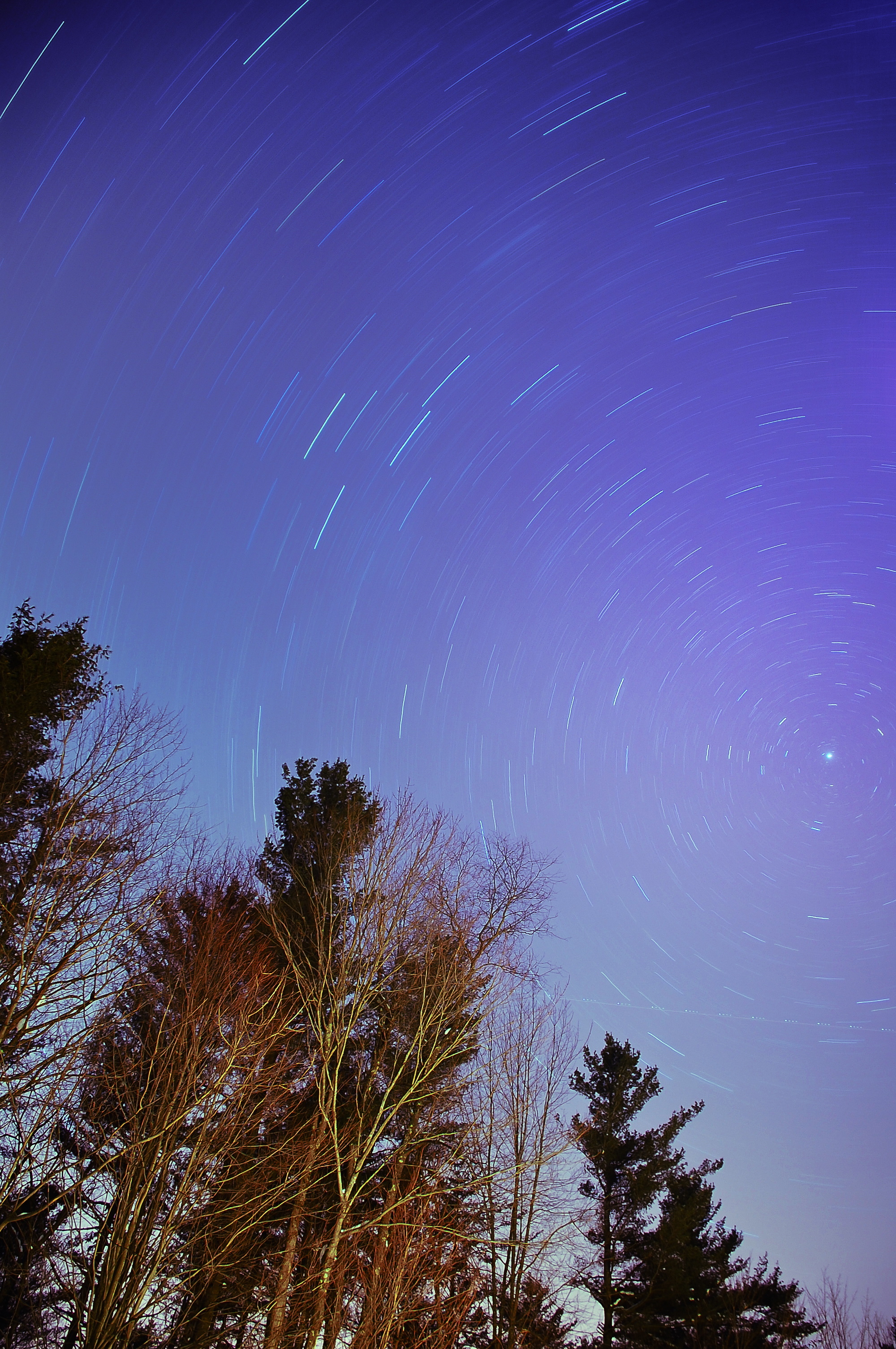
The North Star

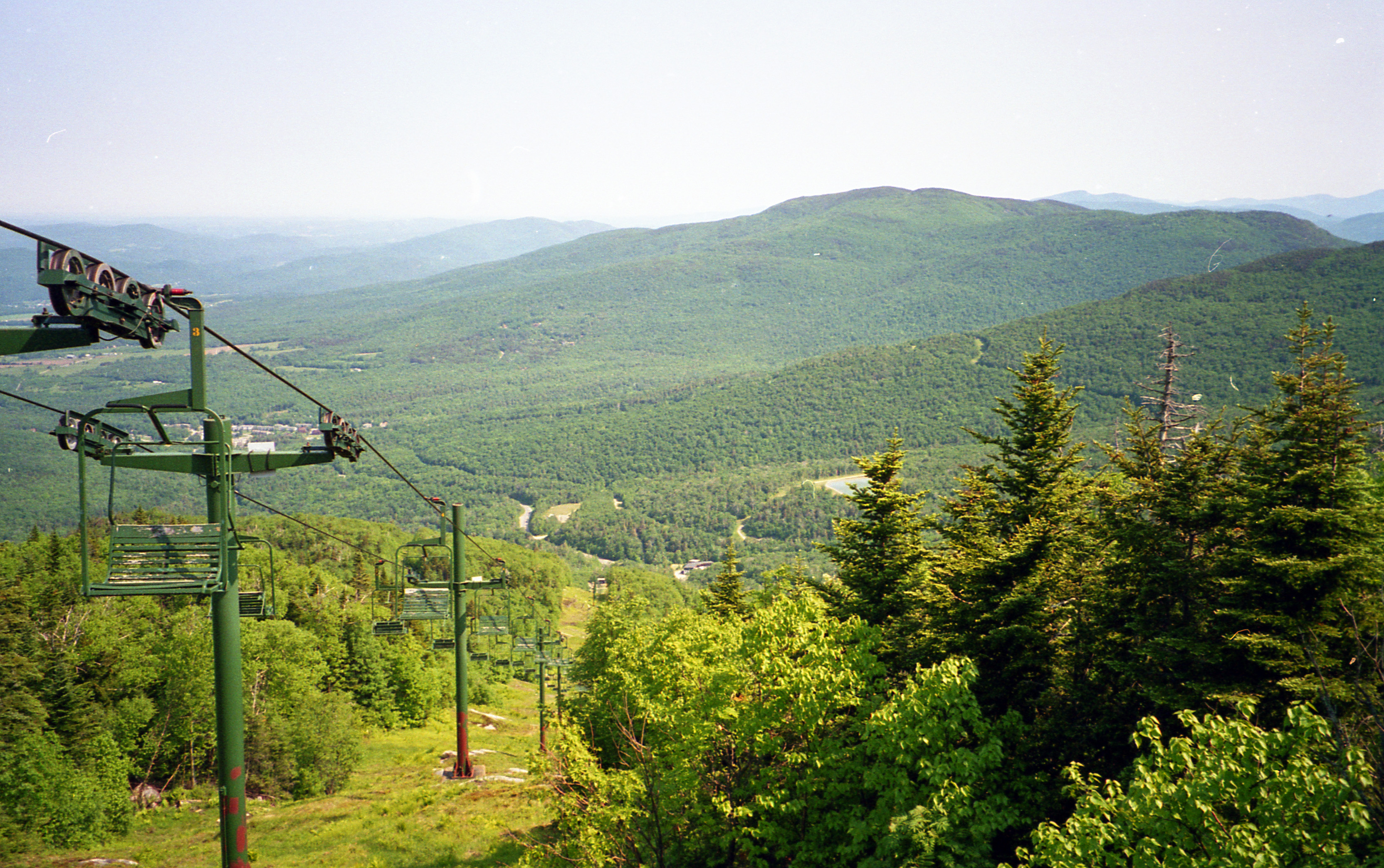
View of Ski Area

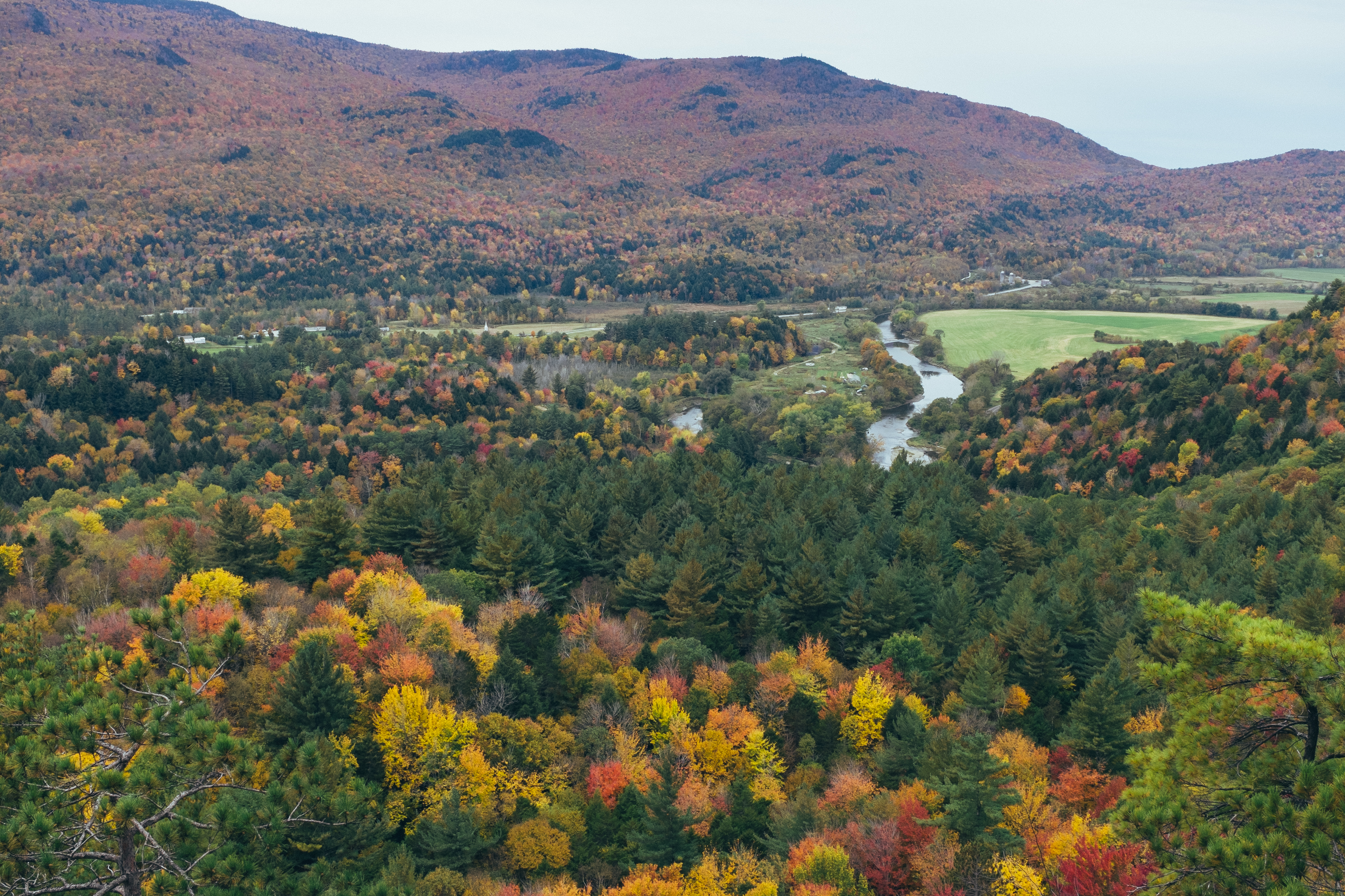
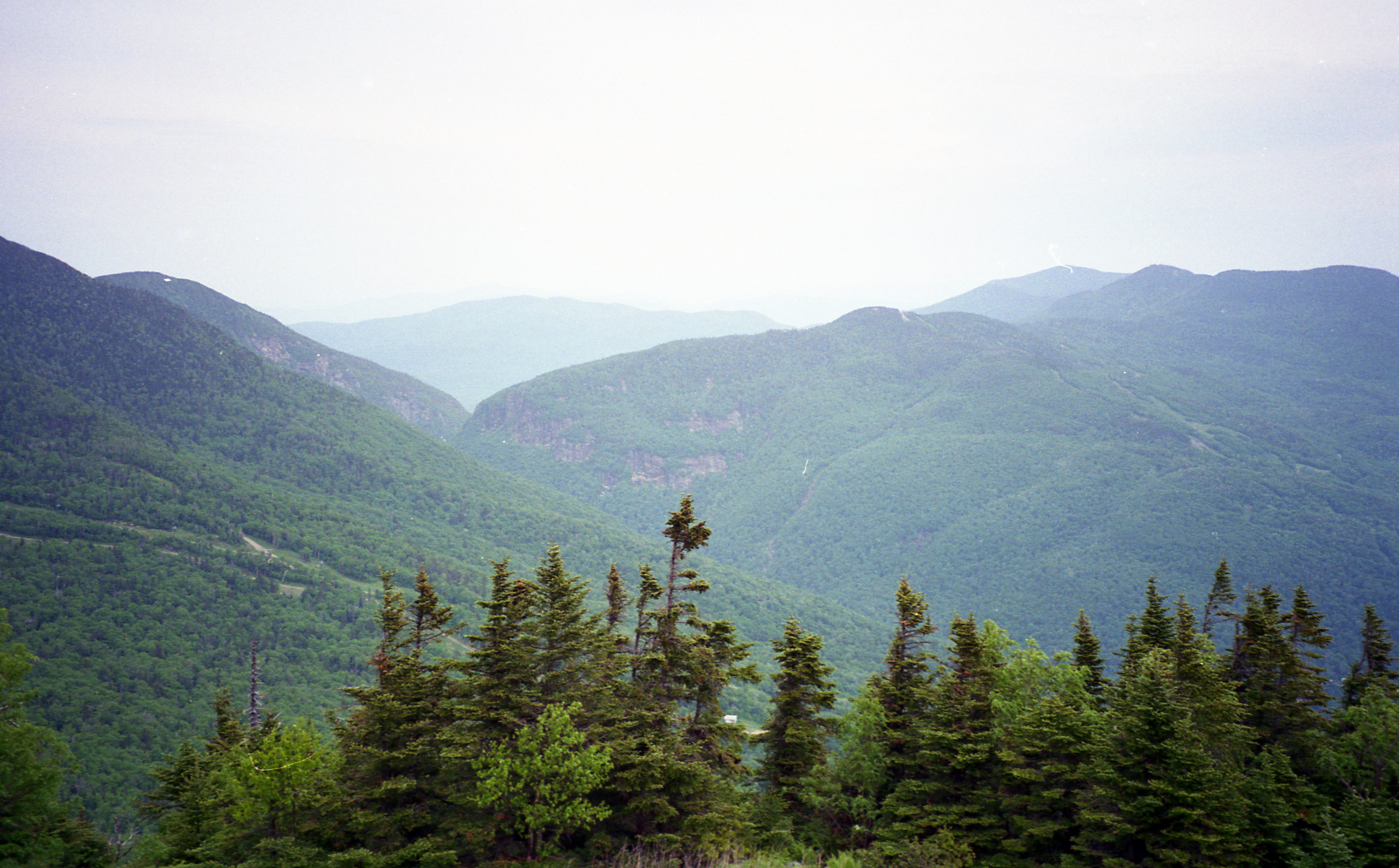
panoramic view from the summit of Prospect Rock
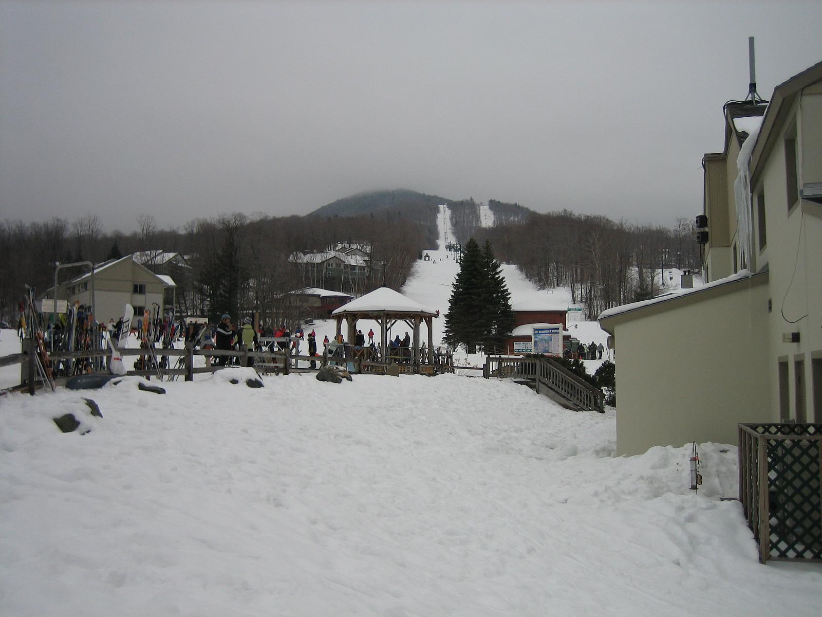
View of Ski Area 2
1995-pwl-sheet024-17

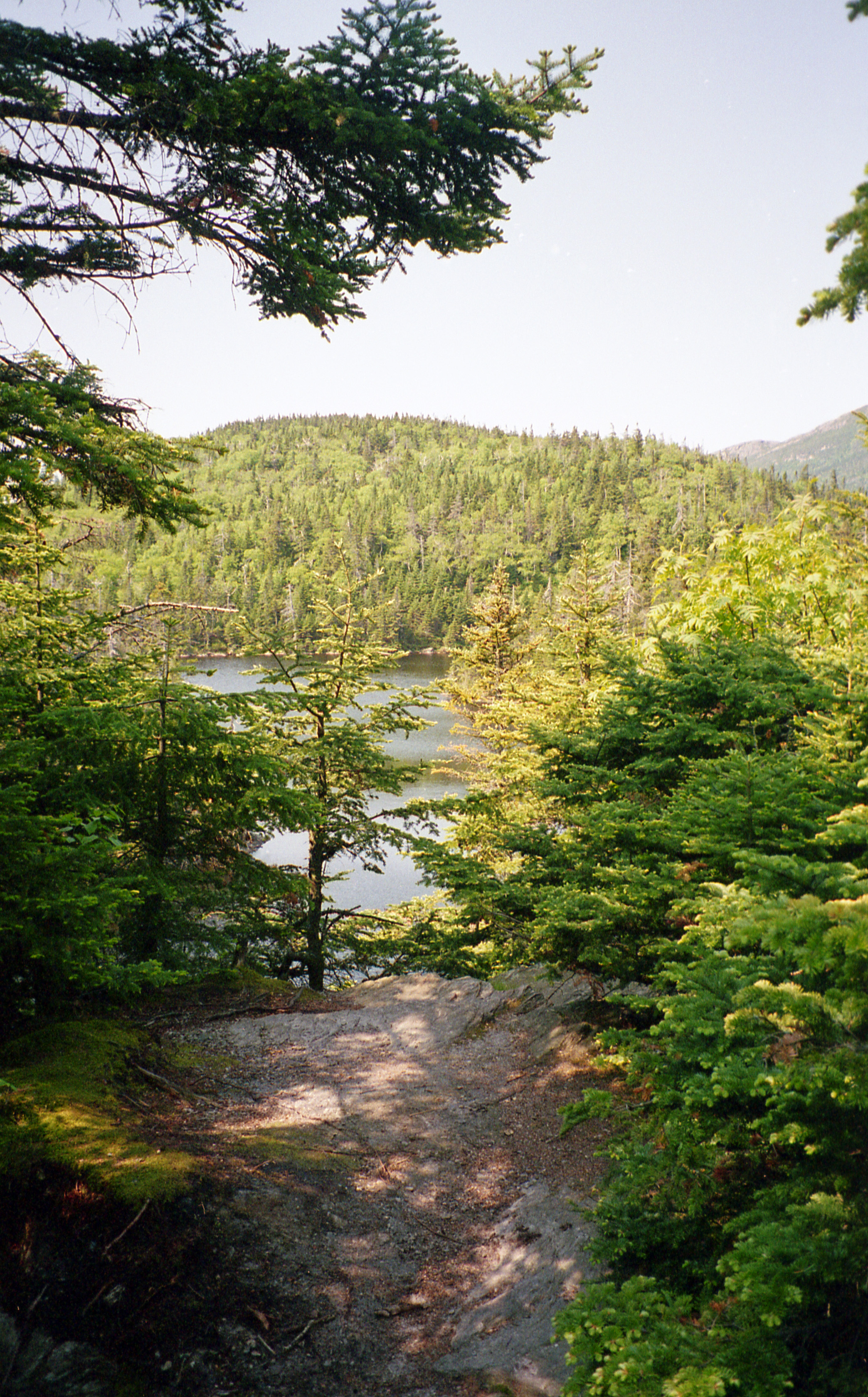
view from Prospect Rock summit

Another great view from Smugglers' Notch.
view from the Lamoille River Foot Bridge
Vermont 2 002-5x7
1995-pwl-sheet021-15

view from Prospect Rock summit
1995-pwl-sheet024-18

1995-pwl-sheet021-18
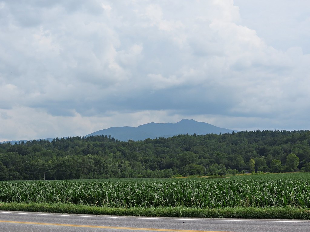
Rt 15, Grand Army of the Republic Highway, Vermont
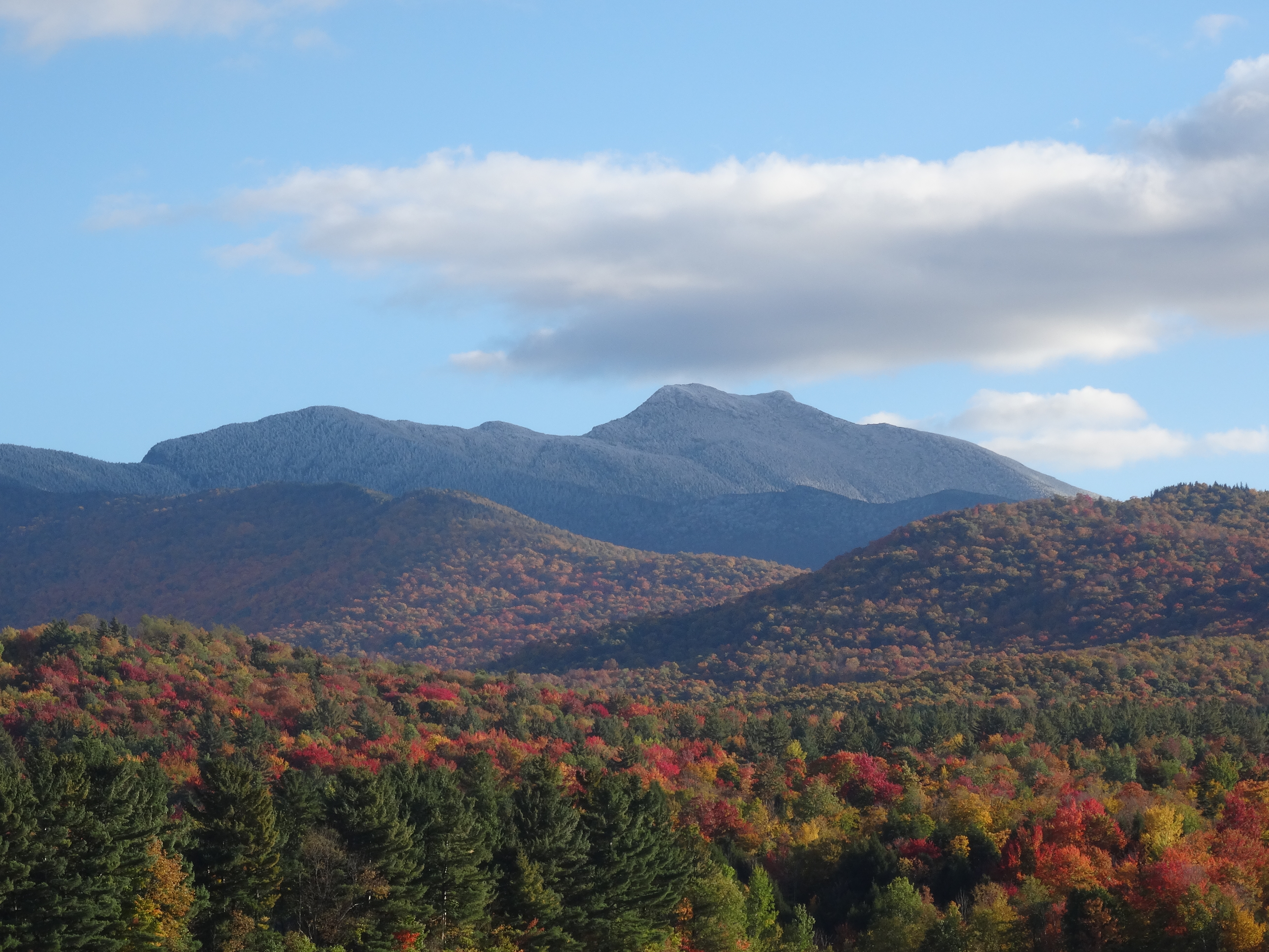
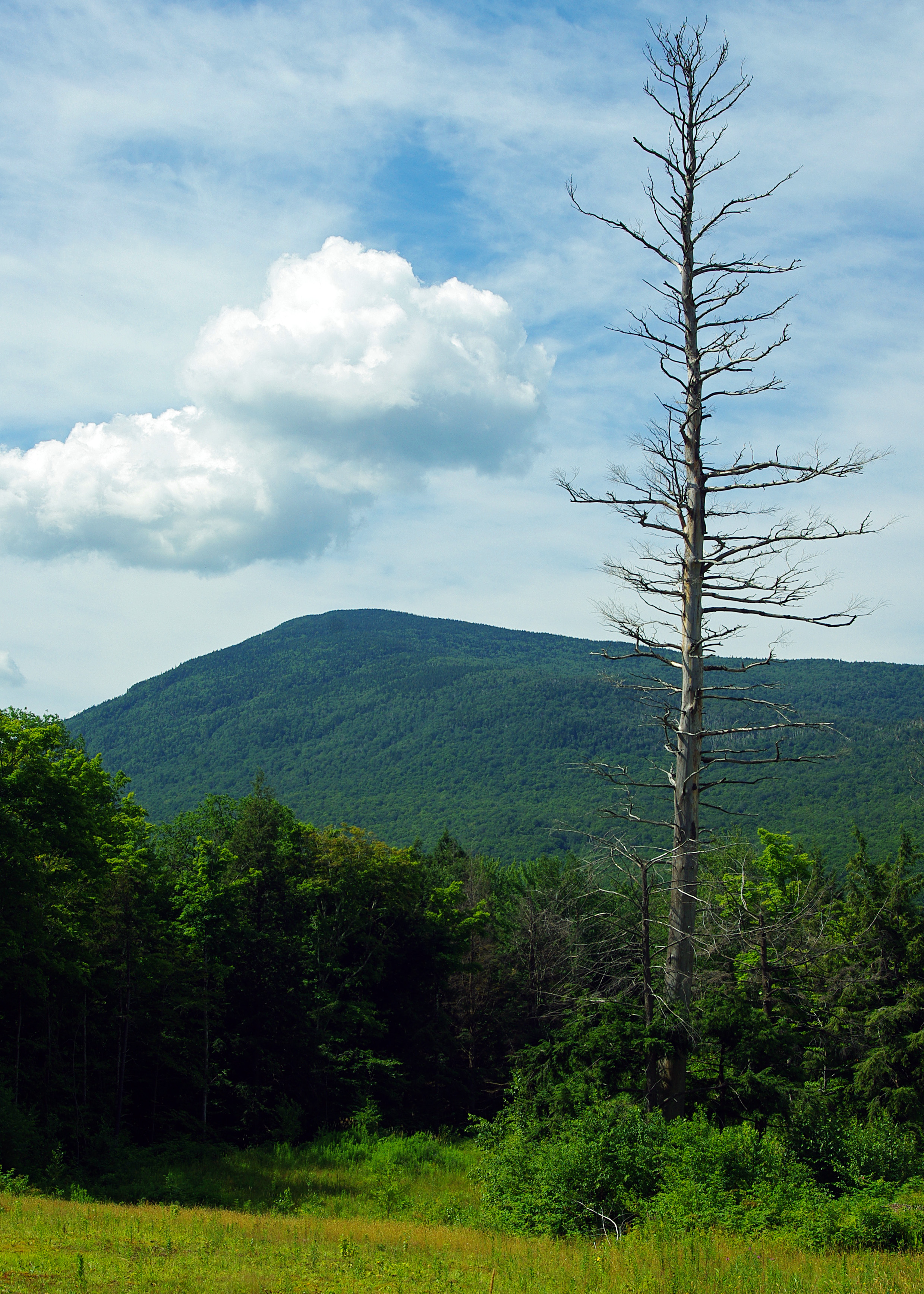
View on Mt. Mansfield, VT
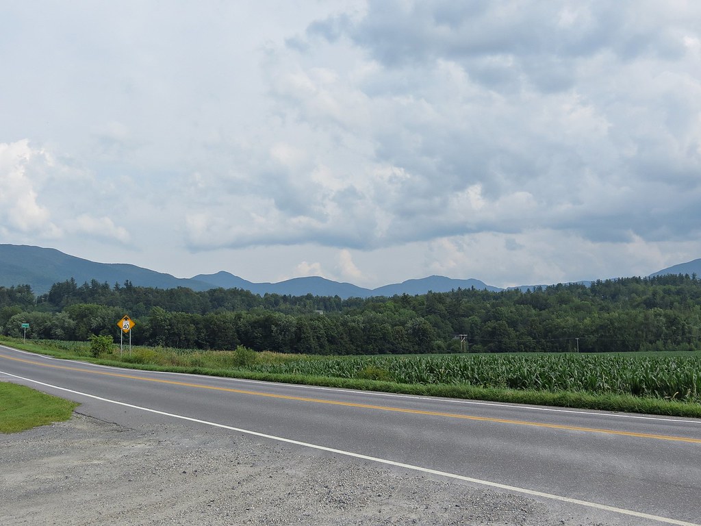
Rt 15, Grand Army of the Republic Highway, Vermont
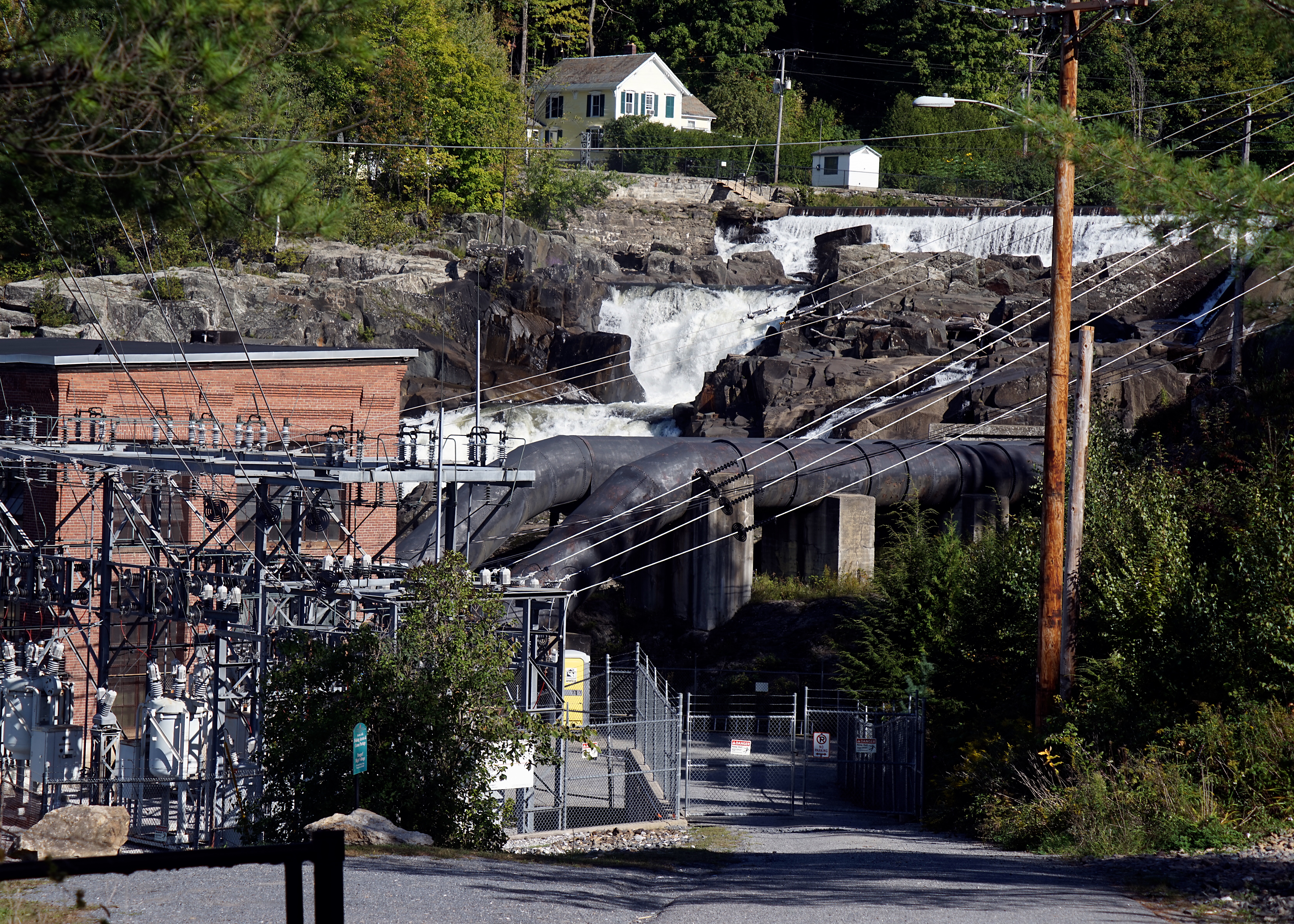
Fairfax Falls

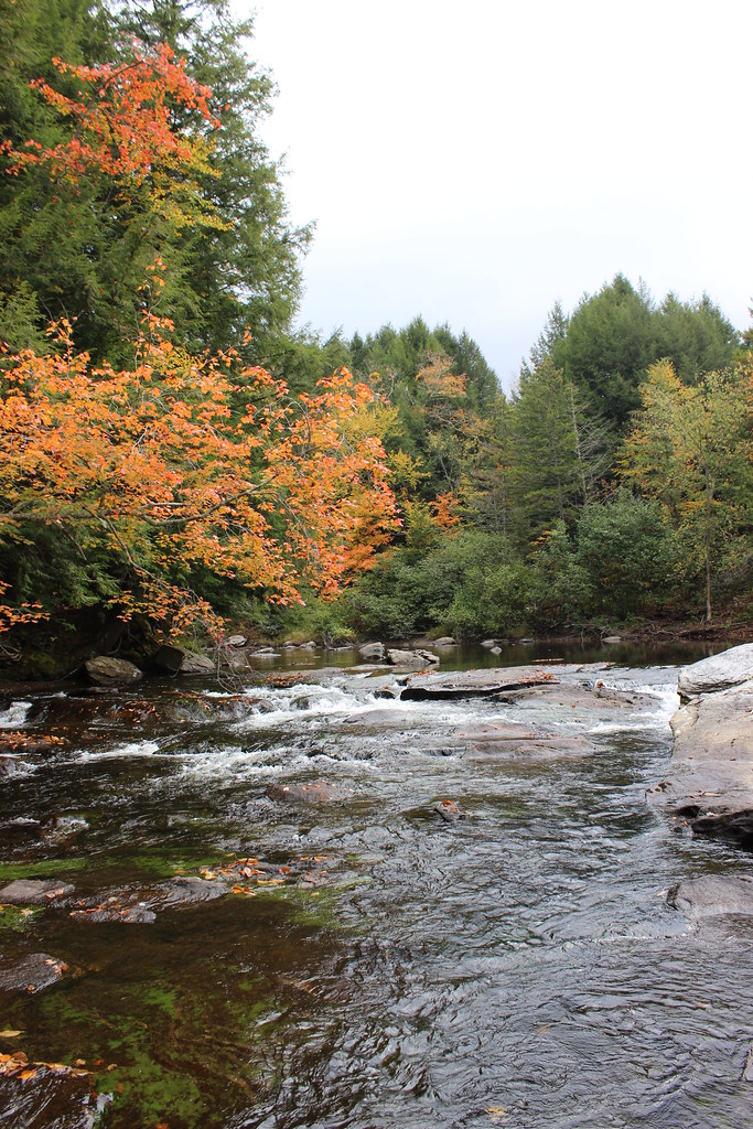
Brewster River Gorge
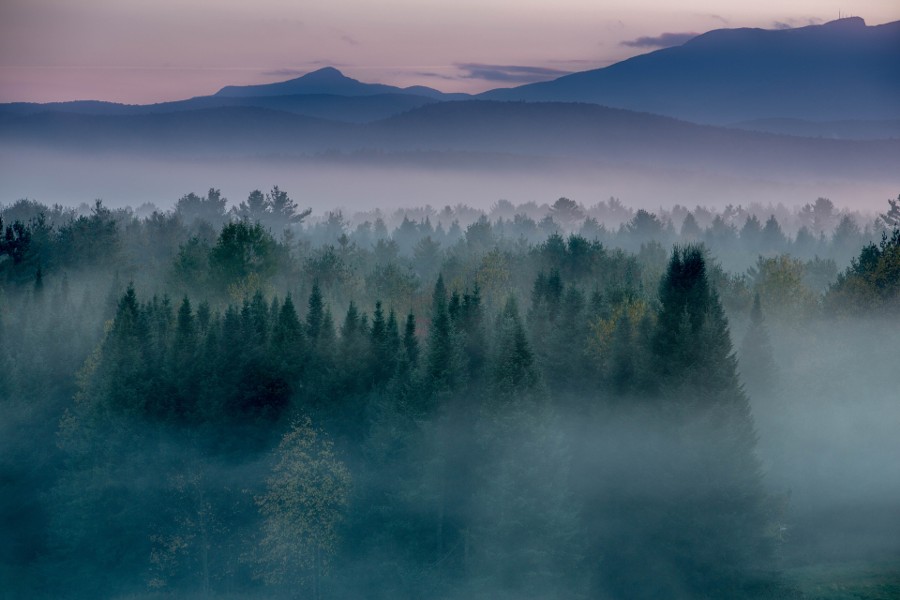
Morning in Vermont
Notch Fall
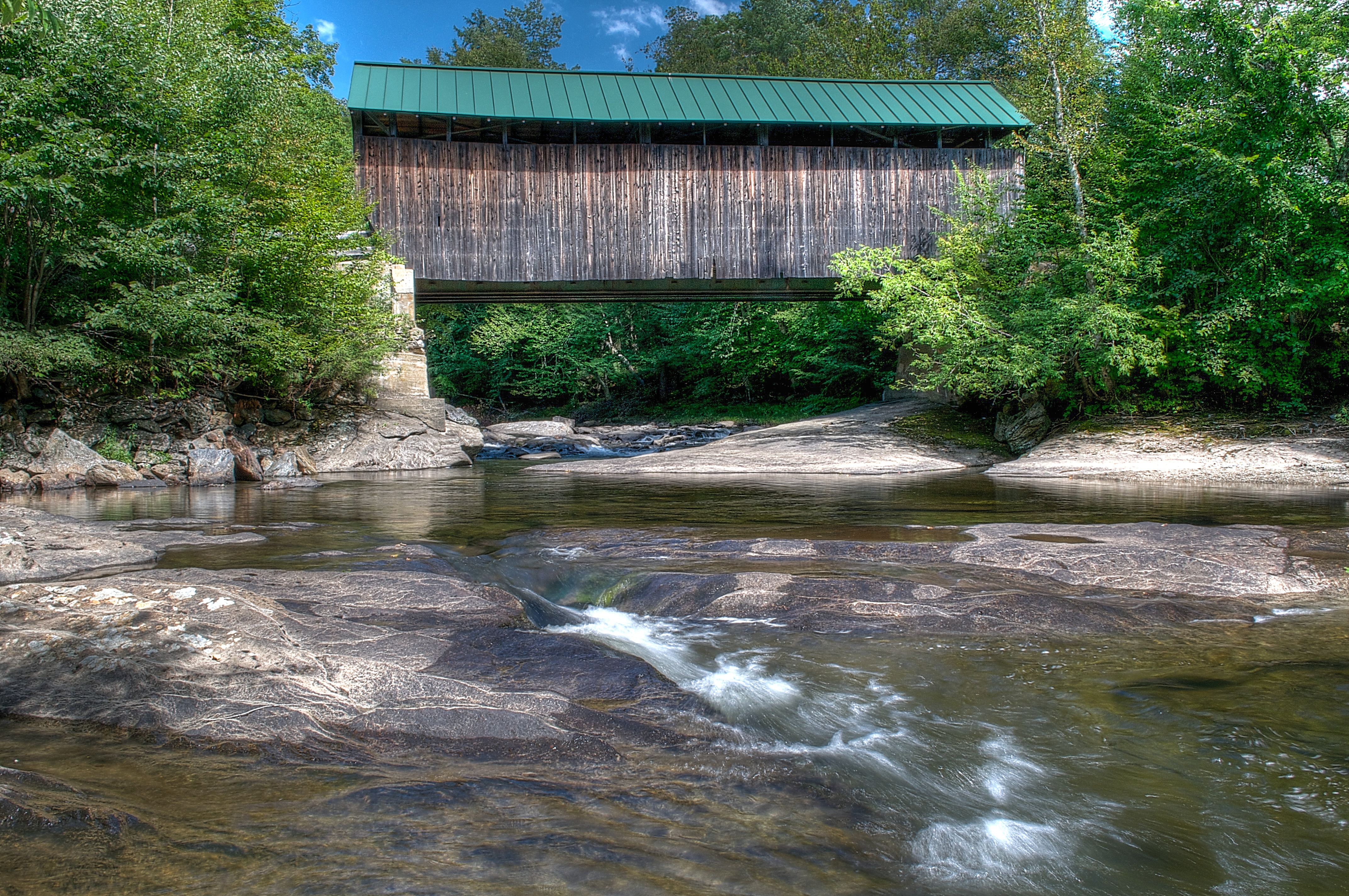
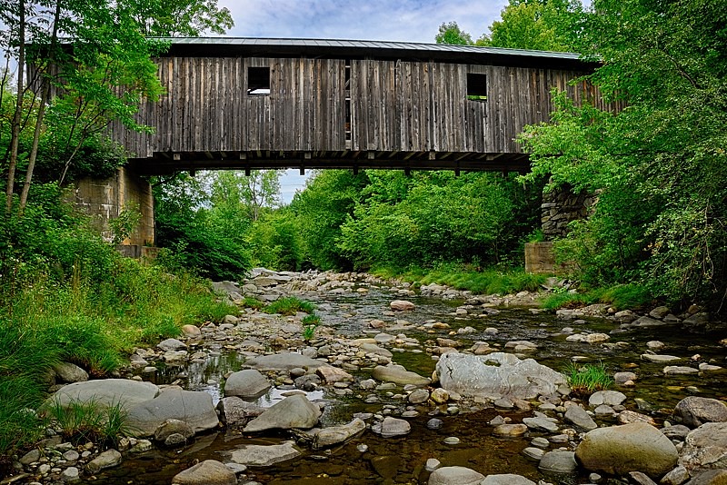
Jaynes Covered Bridge
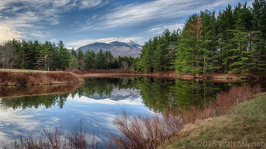
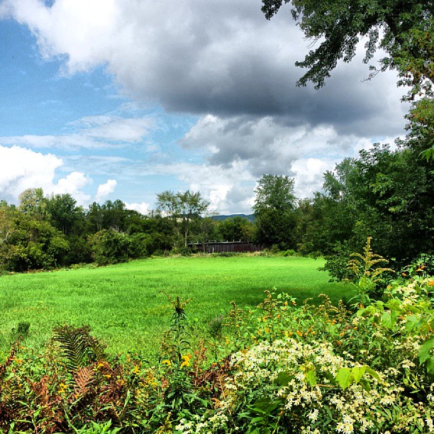
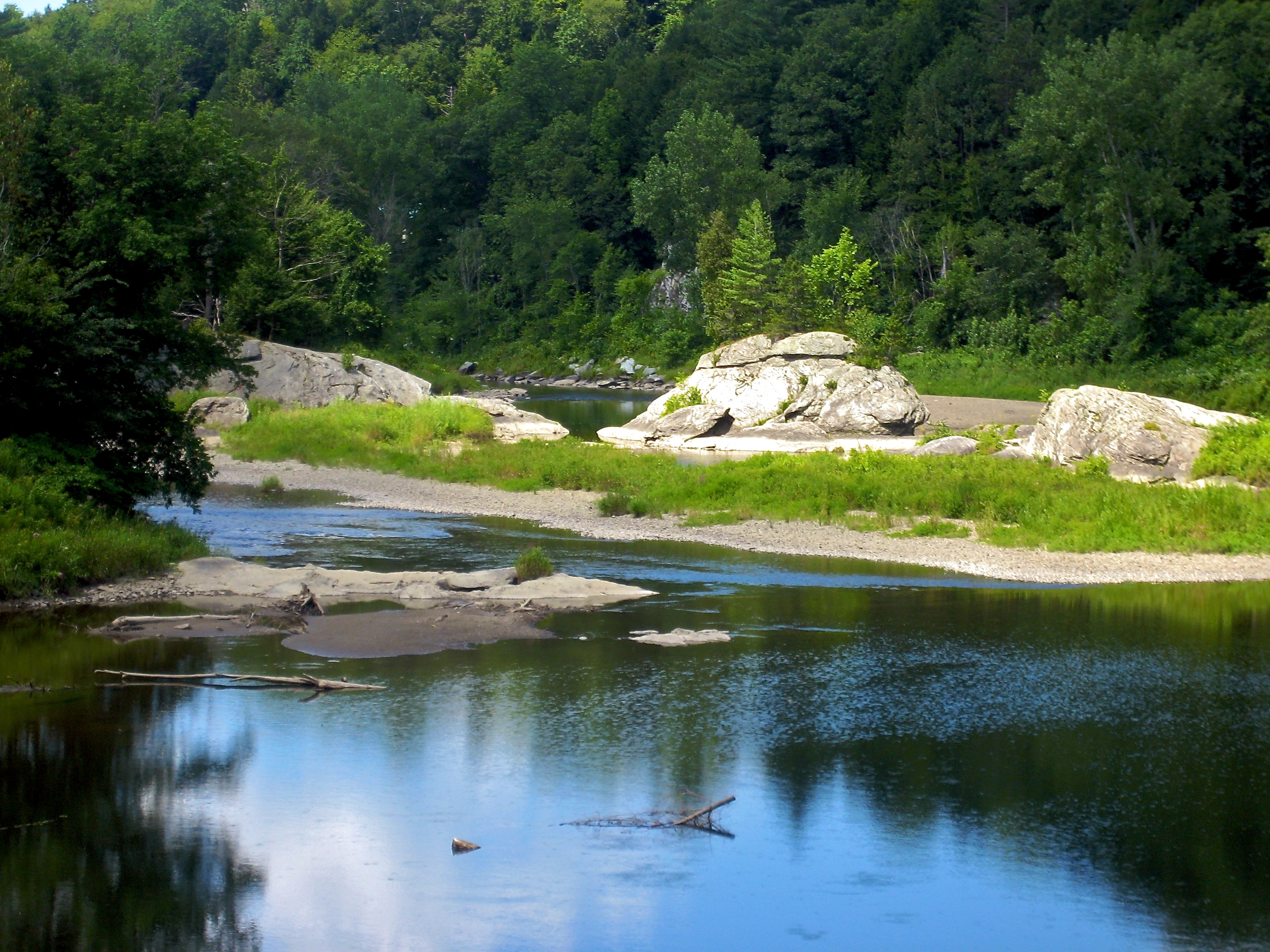
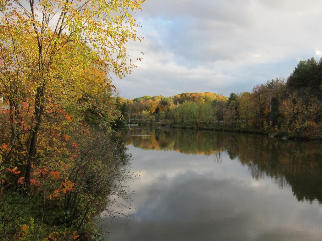
Vermont Pond
t42_901120151011_DSC5284.jpg

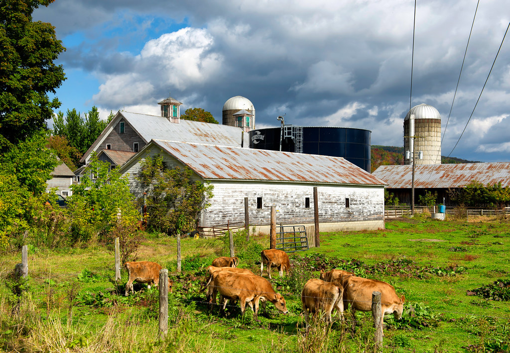
Tinker Farm in Fletcher, Vermont

Bales In Warm Light

Sunset over Green Mountains from Rumrunners' Hideaway (DSH_5288)

West Farm Morning

vt_hdr_067.jpg

More Hay Bales
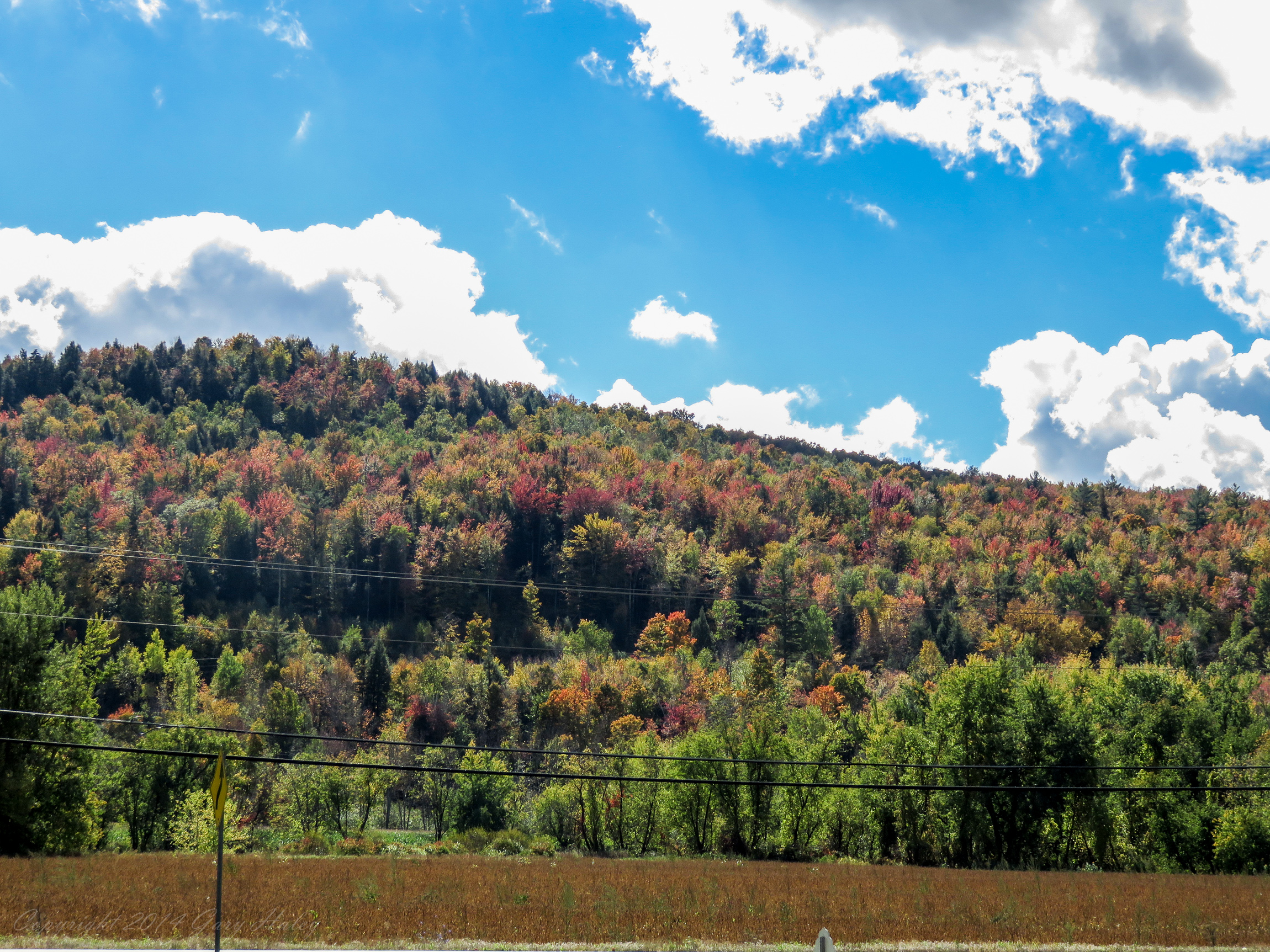
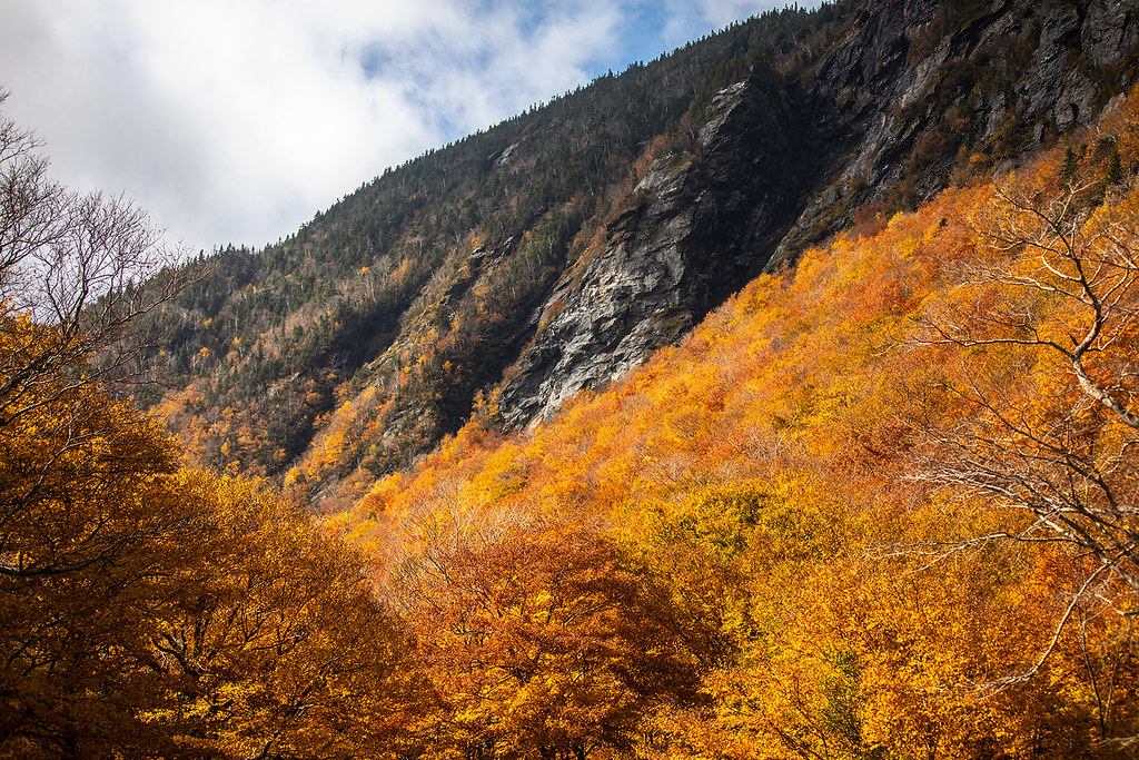
Fall_Folliage_2014-1006
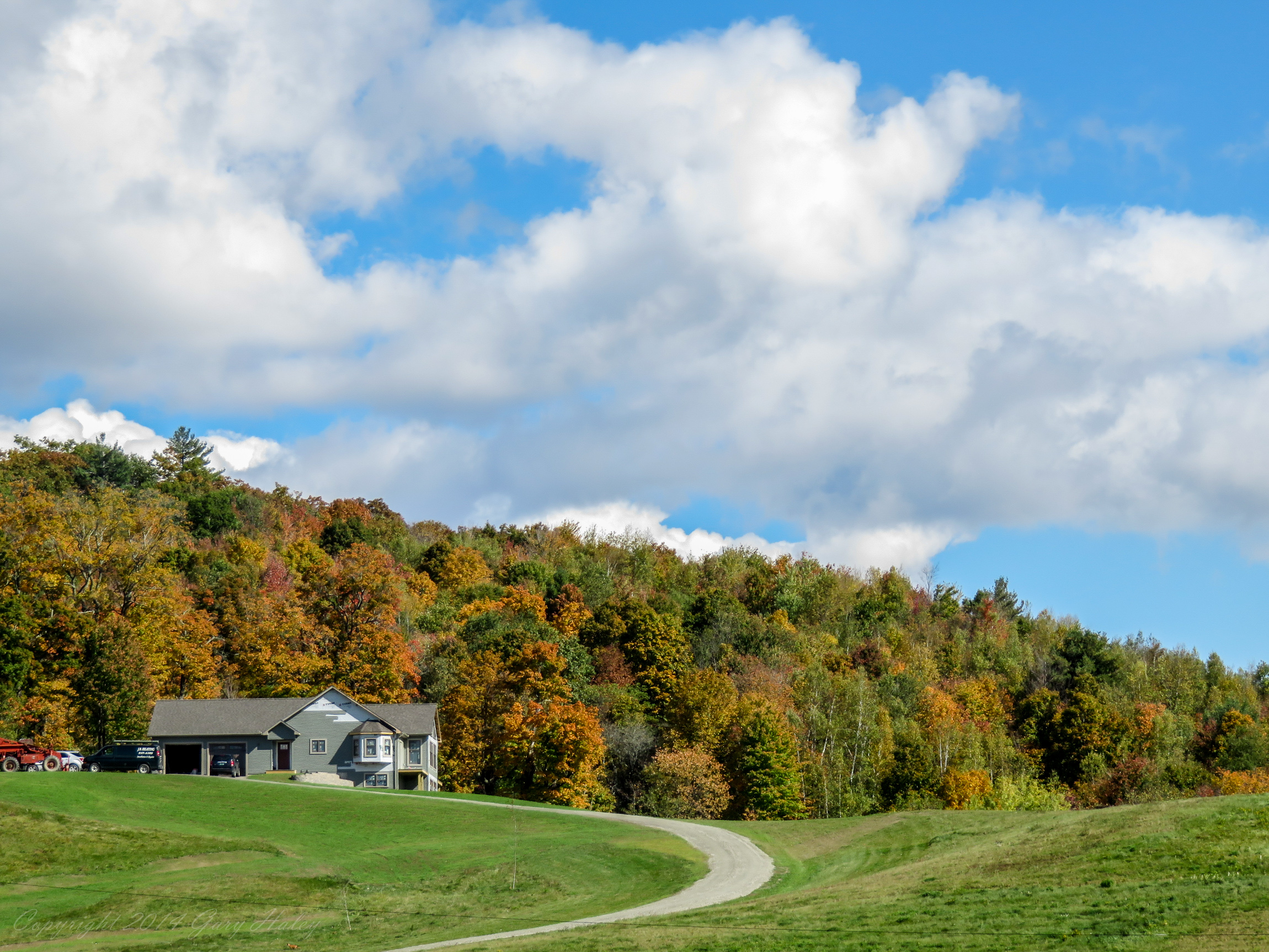
Fall_Folliage_2014-1004

Fall_Folliage_2014-1002
Vermont in autumn 05

Mansfield, Cows, and Pond
Fall in Vermont
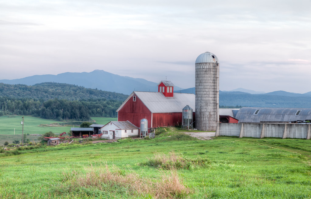
Barn and Slio, Fletcher, Vermont.
A Side-View of the Grist Mill Covered Bridge, Green Mountains, Vermont (VT) (DSH_5400-01)
Topographic Map of Moore Rd, Jeffersonville, VT, USA
Find elevation by address:

Places near Moore Rd, Jeffersonville, VT, USA:
1359 Taylor Rd
385 N Cambridge Rd
250 Whitefield Dr
Fletcher
1013 Will George Rd
1828 Fairfield Rd
East Fairfield
Cambridge Junction Rd, Jeffersonville, VT, USA
4110 Fairfield Rd
Bakersfield
460 Goose Pond Rd
135 Tabor Hill Rd
71 Lawton Rd
Fairfield
Shepardson Hollow Road
1467 Buck Hollow Rd
2590 Main St N
1254 Buck Hollow Rd
40 Rowland Rd
1391 Church Rd
Recent Searches:
- Elevation of Felindre, Swansea SA5 7LU, UK
- Elevation of Leyte Industrial Development Estate, Isabel, Leyte, Philippines
- Elevation of W Granada St, Tampa, FL, USA
- Elevation of Pykes Down, Ivybridge PL21 0BY, UK
- Elevation of Jalan Senandin, Lutong, Miri, Sarawak, Malaysia
- Elevation of Bilohirs'k
- Elevation of 30 Oak Lawn Dr, Barkhamsted, CT, USA
- Elevation of Luther Road, Luther Rd, Auburn, CA, USA
- Elevation of Unnamed Road, Respublika Severnaya Osetiya — Alaniya, Russia
- Elevation of Verkhny Fiagdon, North Ossetia–Alania Republic, Russia