Elevation of Shepardson Hollow Road, Shepardson Hollow Rd, Westford, VT, USA
Location: United States > Vermont > Franklin County > Fairfax >
Longitude: -72.978804
Latitude: 44.6647936
Elevation: 167m / 548feet
Barometric Pressure: 99KPa
Elevation Map:
Satellite Map:
Related Photos:

Female Ruby-throated hummingbird

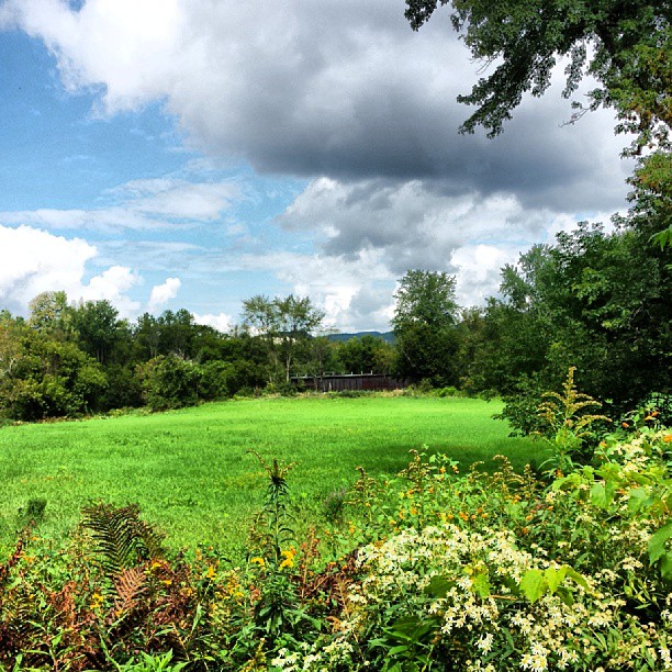
View of the field off East Road

View from Hardscrabble Road
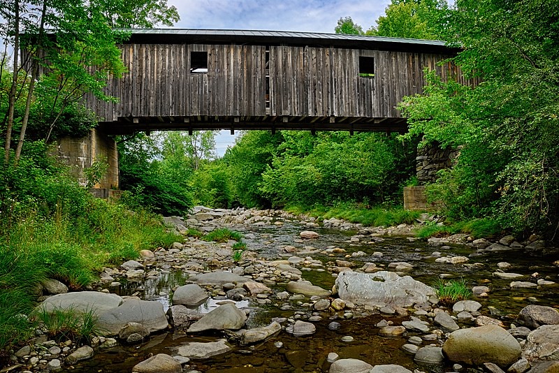
A Side-View of the Grist Mill Covered Bridge, Green Mountains, Vermont (VT) (DSH_5400-01)
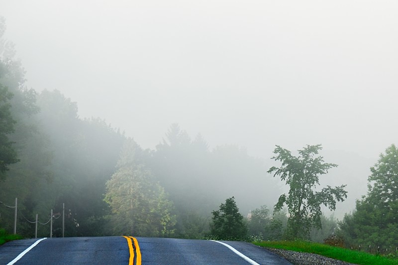
Road into Foggy Uncertainty (DSH_5313)
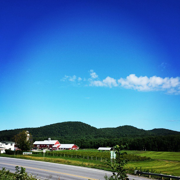
View are spectacular in Vermont. Old train bridge in the path #outforawalk #vt #vtphoto #vermont #vermontbyvermonters #greenmountainstate #instagood #photooftheday #igvermont #ignewengland #cloudporn #cloudscape #beautiful #blueskies

Brewster River Gorge

QUESTION MARK
View from where I'm sipping my coffee on the way to walk the dog. #cambridgevt #brownandjenkins #boydenvalleywinery #vermontbyvermonters #summerday #beautifulday tiny bit of #cloudporn
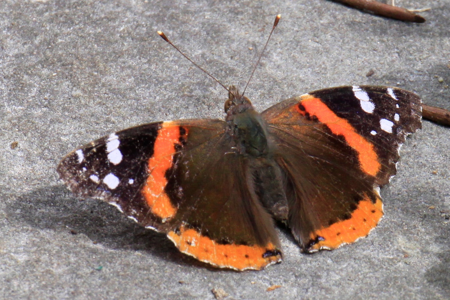
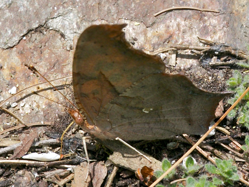
RED ADMIRAL

Horses, Sticks, and Snow
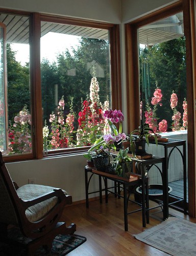
Hollyhock Overdrive

Deer hut at camp
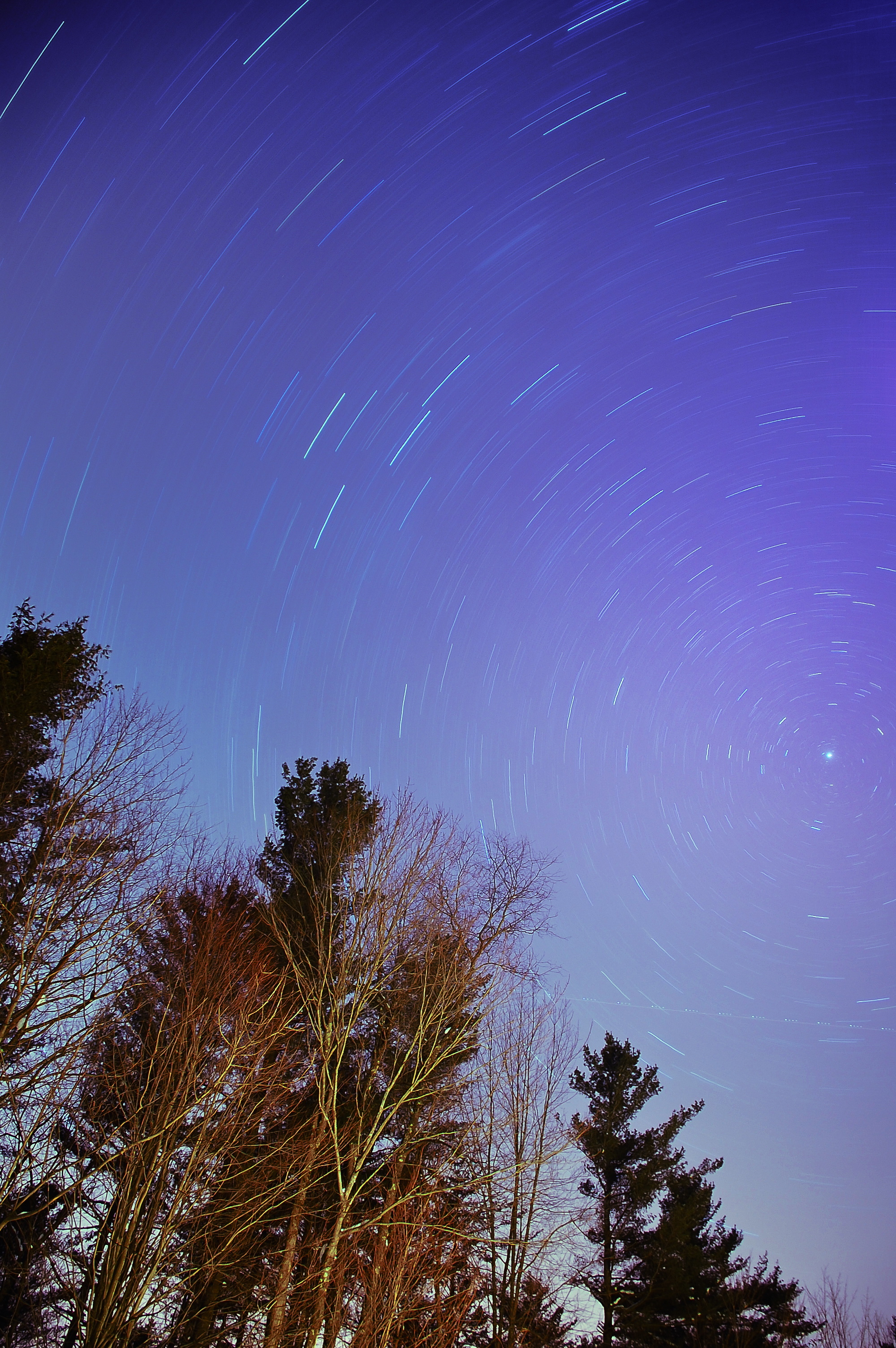
The North Star
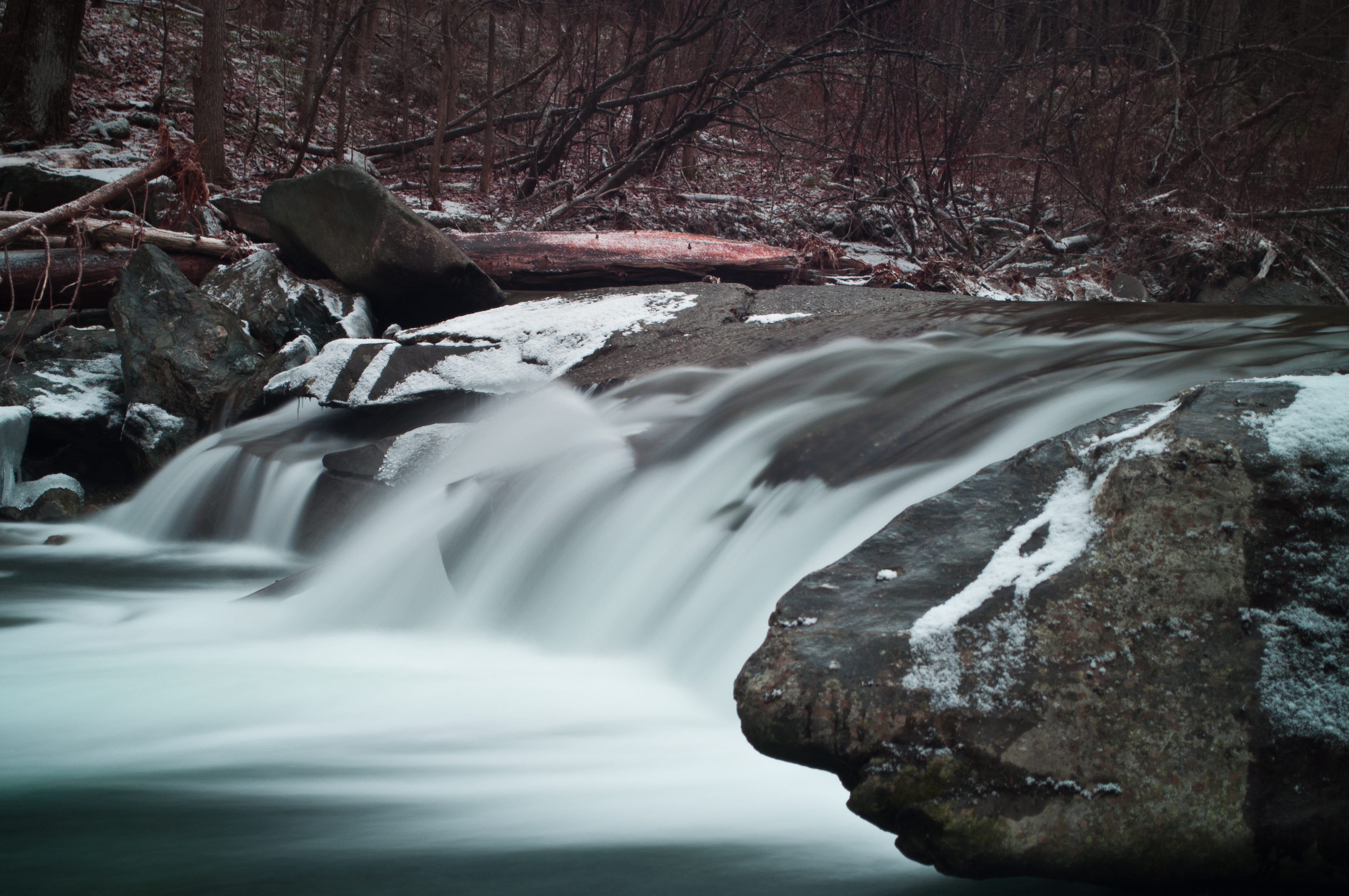
Another View of the Fall
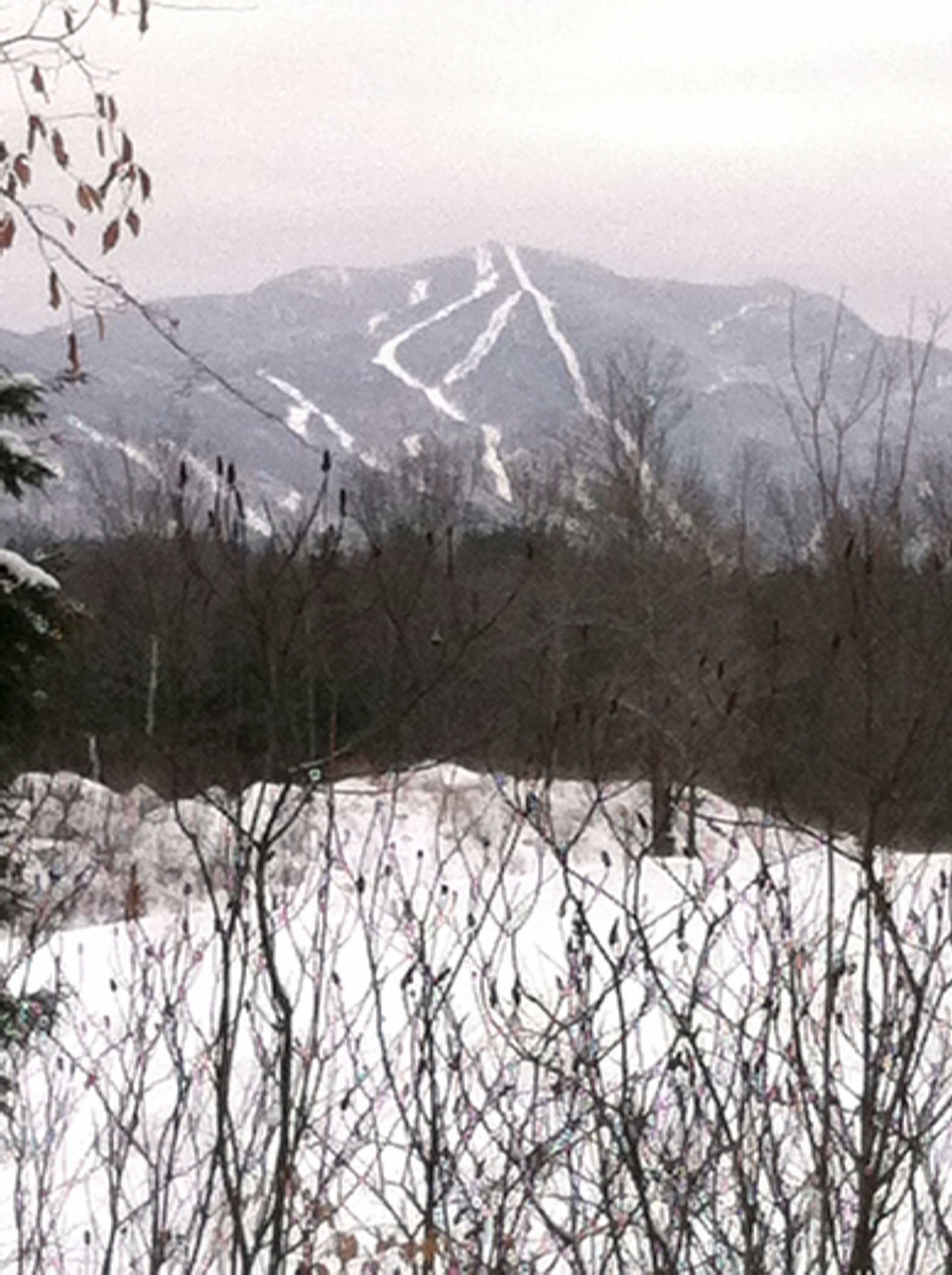
Mt. SterlingJeffersonville,VT.
QUESTION MARK
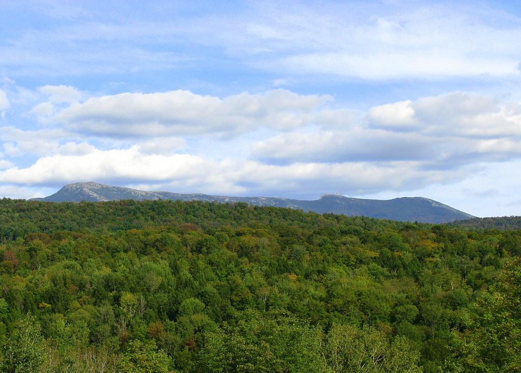
Mount Mansfield vu de chez Rilda

Snow, It Begins
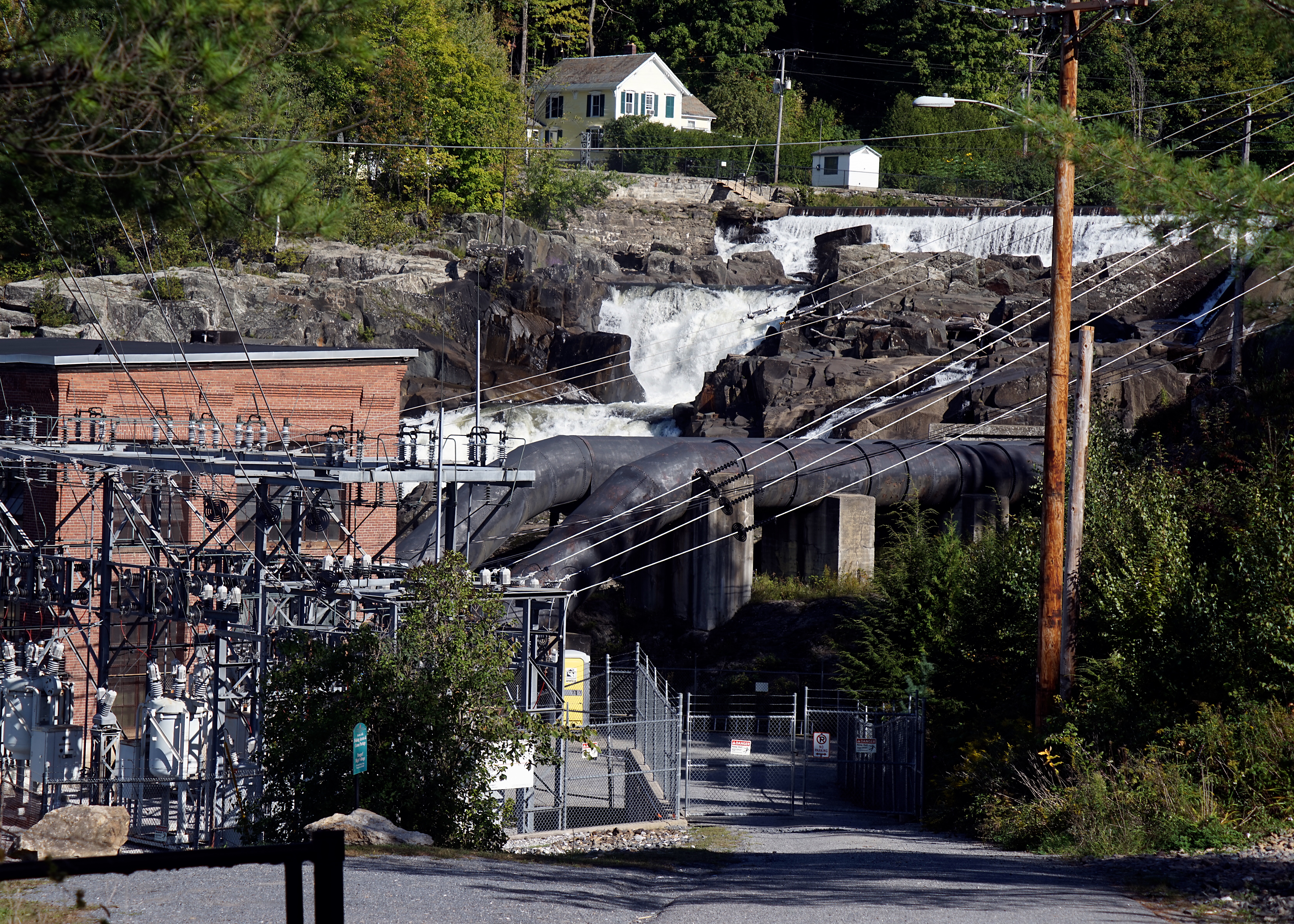
Fairfax Falls
Topographic Map of Shepardson Hollow Road, Shepardson Hollow Rd, Westford, VT, USA
Find elevation by address:

Places near Shepardson Hollow Road, Shepardson Hollow Rd, Westford, VT, USA:
40 Rowland Rd
460 Goose Pond Rd
Fairfax
1188 Main St
135 Tabor Hill Rd
1828 Fairfield Rd
Fletcher
71 Lawton Rd
408 Town Hwy 21
Gaudette Farm Road
4110 Fairfield Rd
1254 Buck Hollow Rd
1467 Buck Hollow Rd
1013 Will George Rd
2 Austin Rd
38 Craftsfield Rd
40 Craftsfield Rd
19 Town Hwy 12
385 N Cambridge Rd
70 Jed Shepard Rd, Fairfax, VT, USA
Recent Searches:
- Elevation of Côte-des-Neiges, Montreal, QC H4A 3J6, Canada
- Elevation of Bobcat Dr, Helena, MT, USA
- Elevation of Zu den Ihlowbergen, Althüttendorf, Germany
- Elevation of Badaber, Peshawar, Khyber Pakhtunkhwa, Pakistan
- Elevation of SE Heron Loop, Lincoln City, OR, USA
- Elevation of Slanický ostrov, 01 Námestovo, Slovakia
- Elevation of Spaceport America, Co Rd A, Truth or Consequences, NM, USA
- Elevation of Warwick, RI, USA
- Elevation of Fern Rd, Whitmore, CA, USA
- Elevation of 62 Abbey St, Marshfield, MA, USA