Elevation of 40 Rowland Rd, Fairfax, VT, USA
Location: United States > Vermont > Franklin County > Fairfax >
Longitude: -72.985358
Latitude: 44.652274
Elevation: 163m / 535feet
Barometric Pressure: 99KPa
Elevation Map:
Satellite Map:
Related Photos:
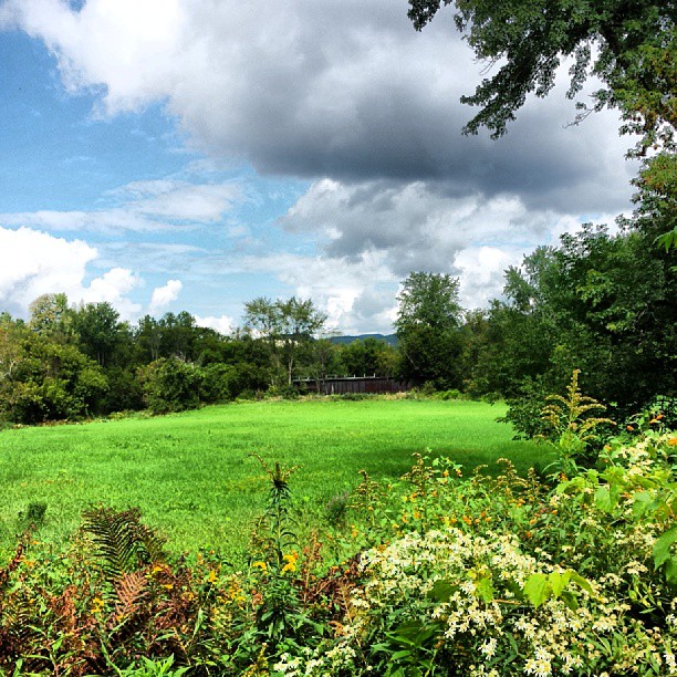
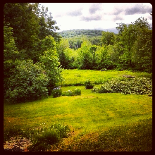
View of the field off East Road
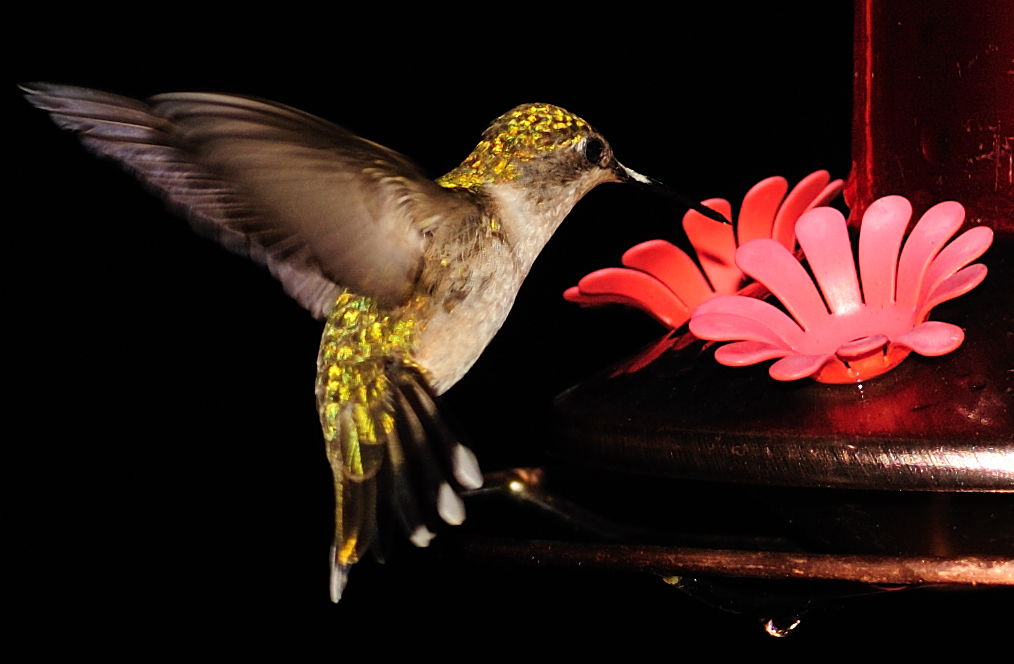
Female Ruby-throated hummingbird
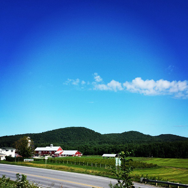
View from Hardscrabble Road
A Side-View of the Grist Mill Covered Bridge, Green Mountains, Vermont (VT) (DSH_5400-01)
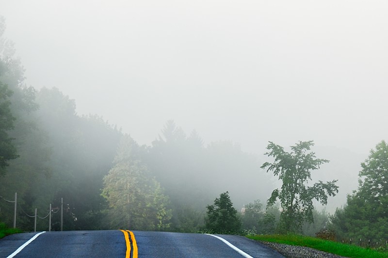
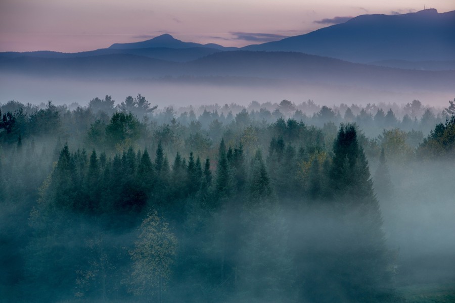
Road into Foggy Uncertainty (DSH_5313)
View are spectacular in Vermont. Old train bridge in the path #outforawalk #vt #vtphoto #vermont #vermontbyvermonters #greenmountainstate #instagood #photooftheday #igvermont #ignewengland #cloudporn #cloudscape #beautiful #blueskies
View from where I'm sipping my coffee on the way to walk the dog. #cambridgevt #brownandjenkins #boydenvalleywinery #vermontbyvermonters #summerday #beautifulday tiny bit of #cloudporn

Horses, Sticks, and Snow
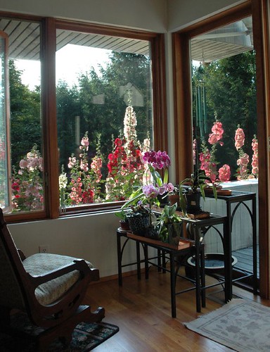
Hollyhock Overdrive
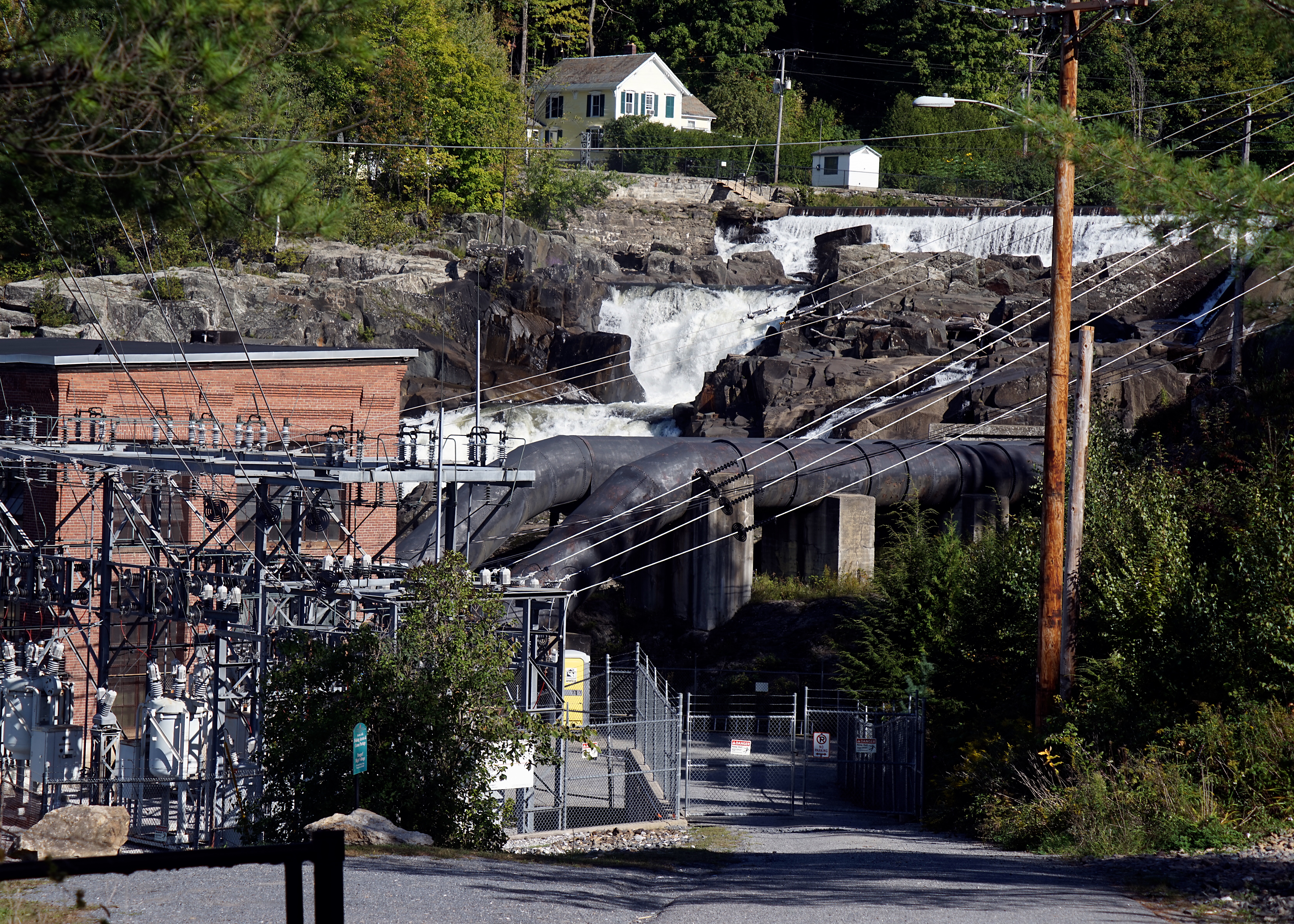
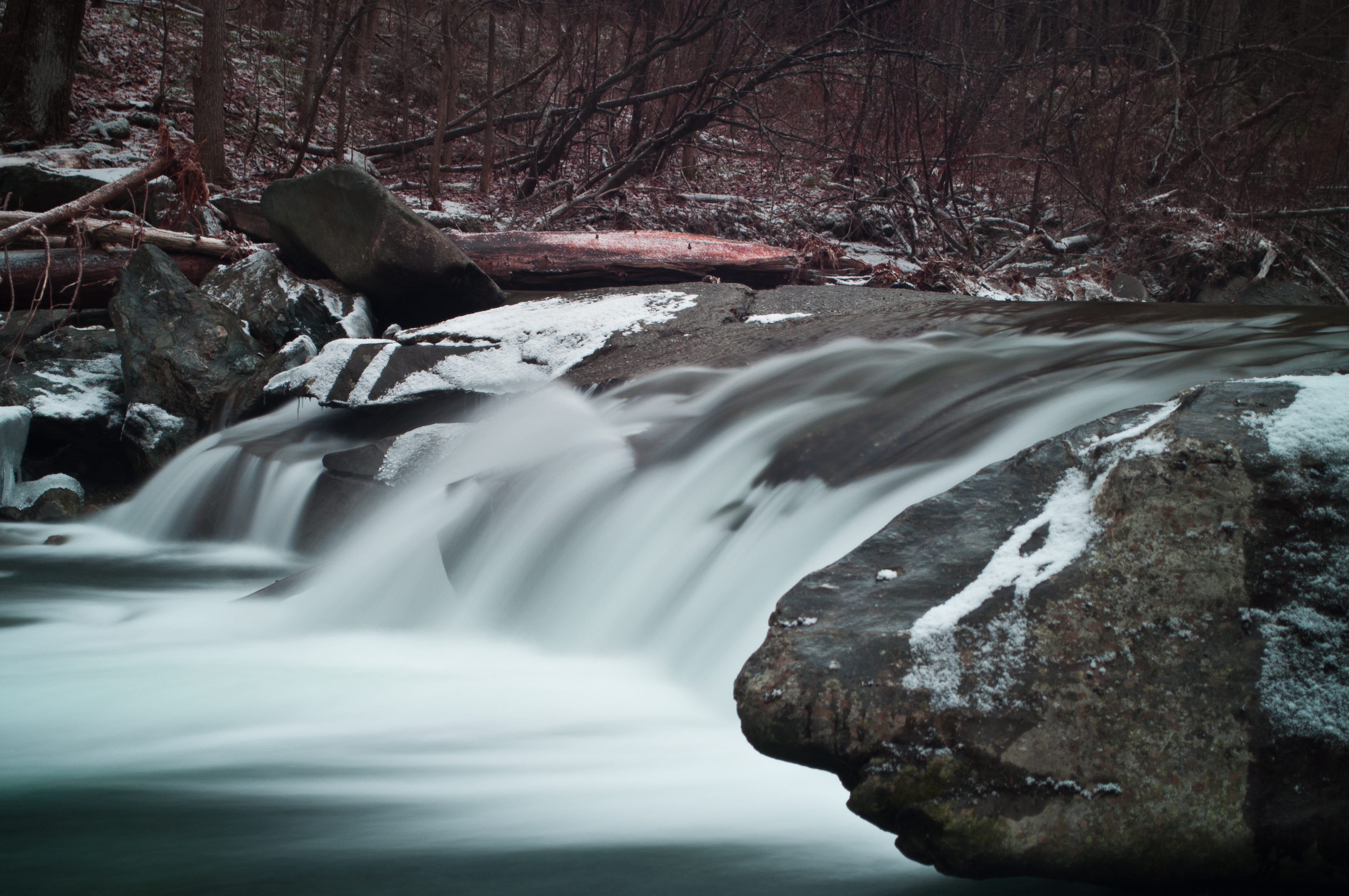
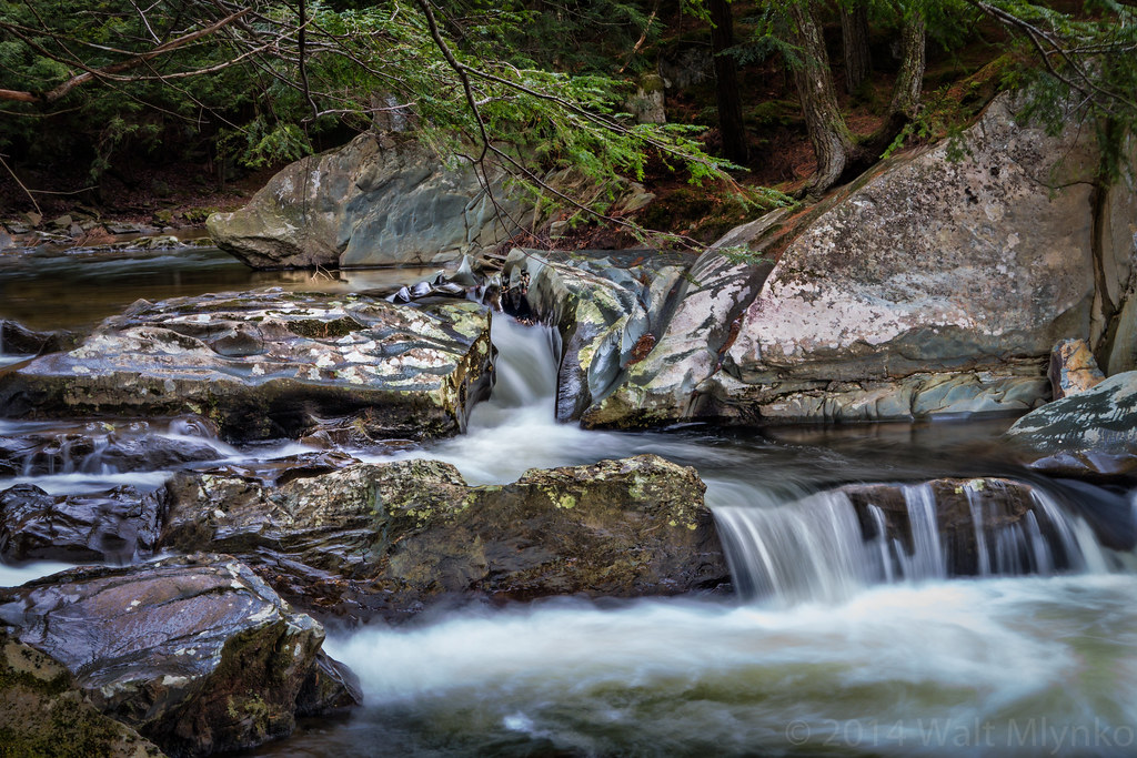
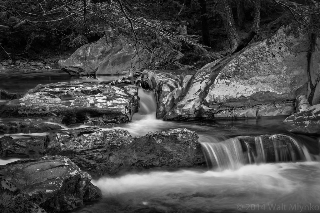
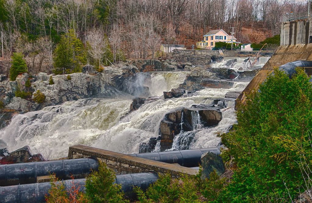
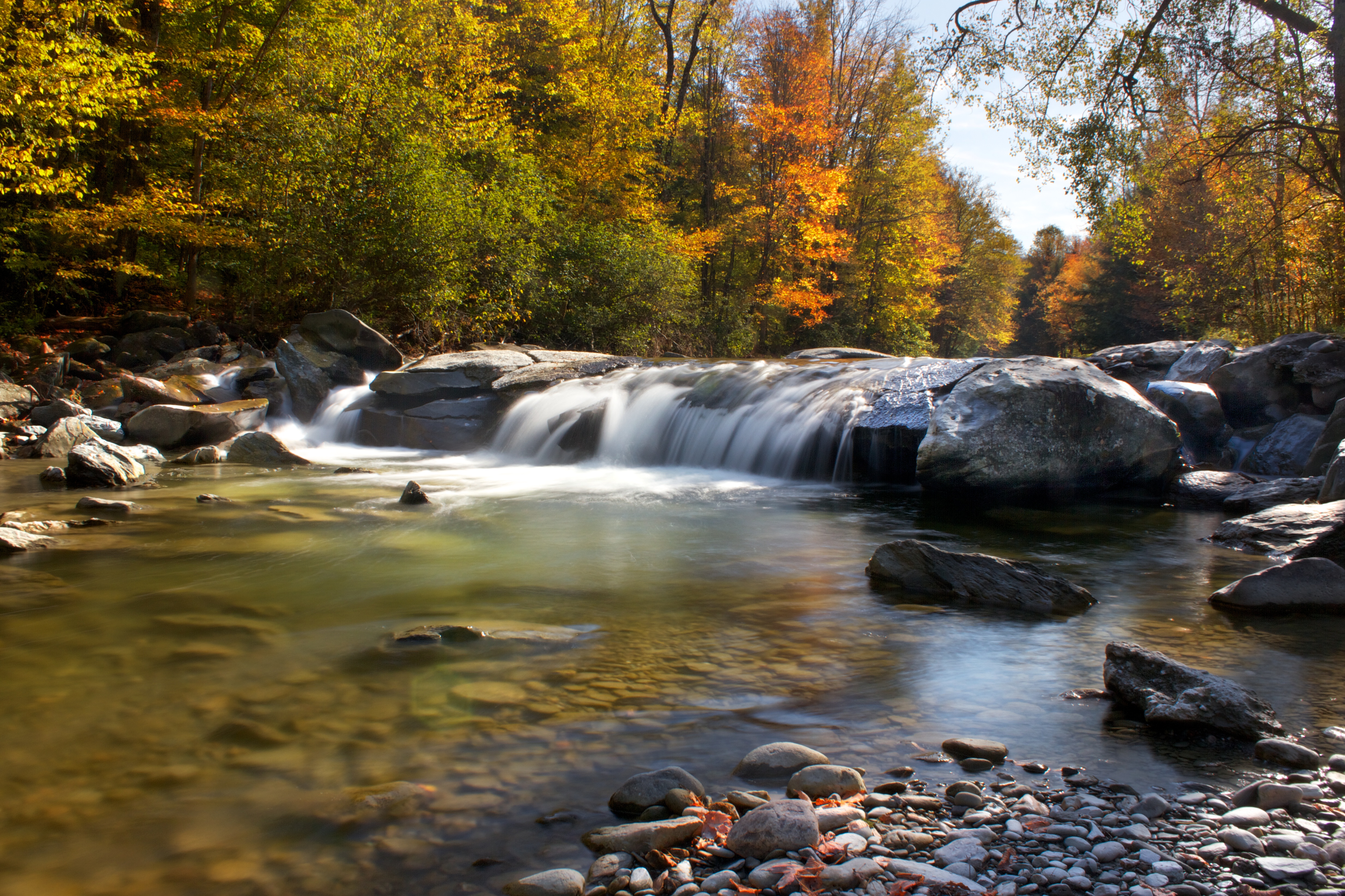
Fairfax Falls

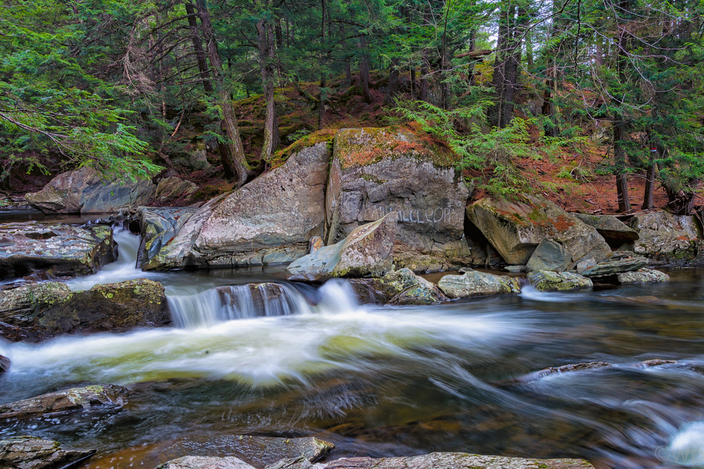
Brewster River Gorge
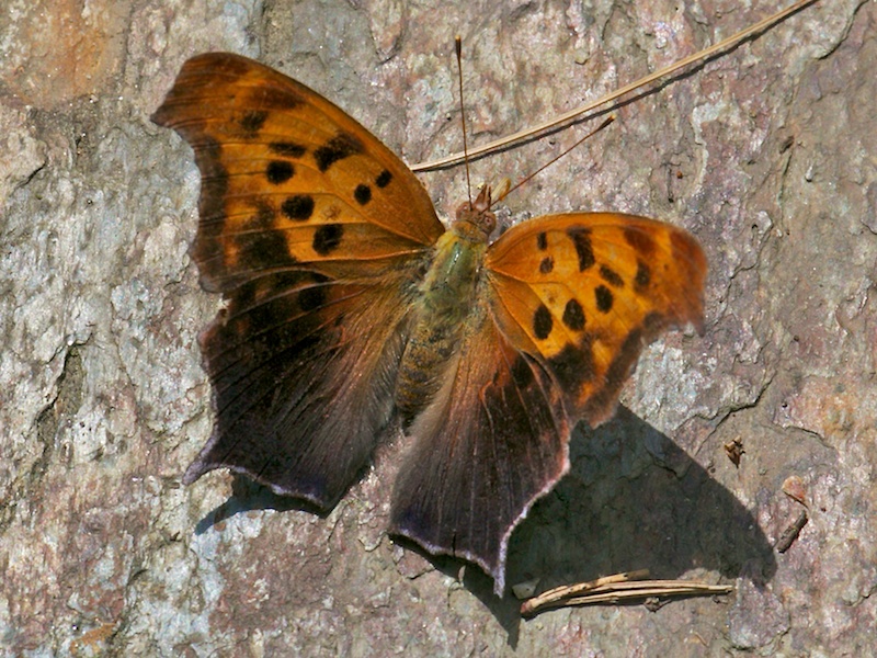
QUESTION MARK
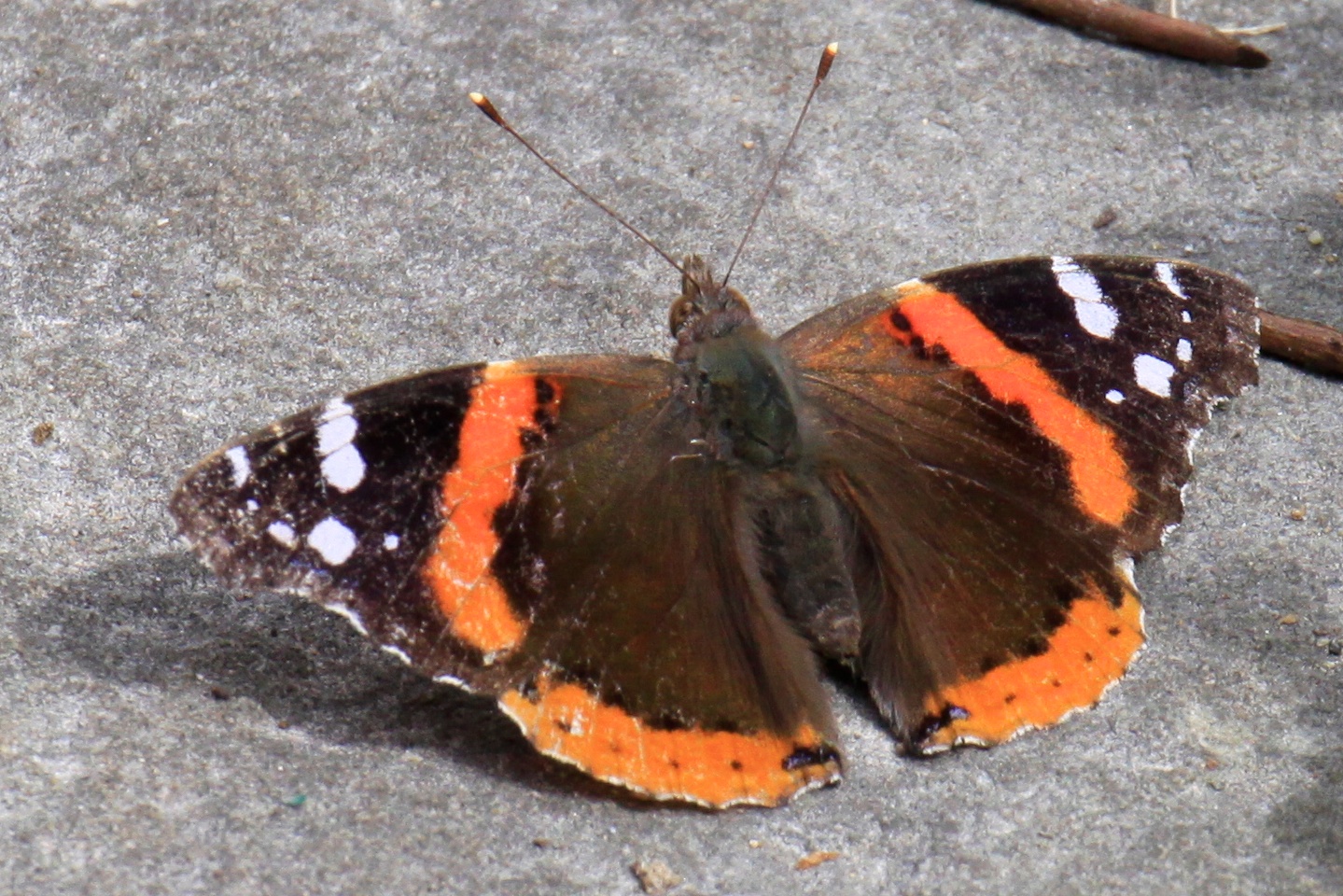
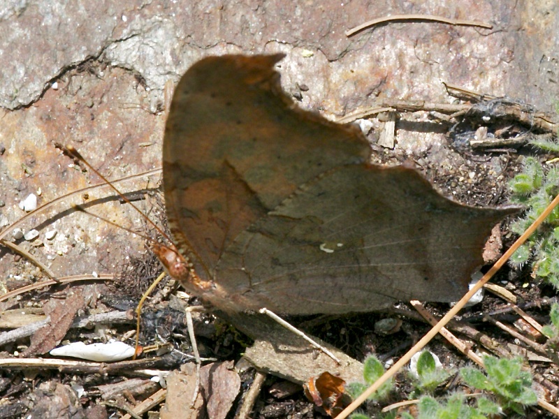
RED ADMIRAL

Deer hut at camp
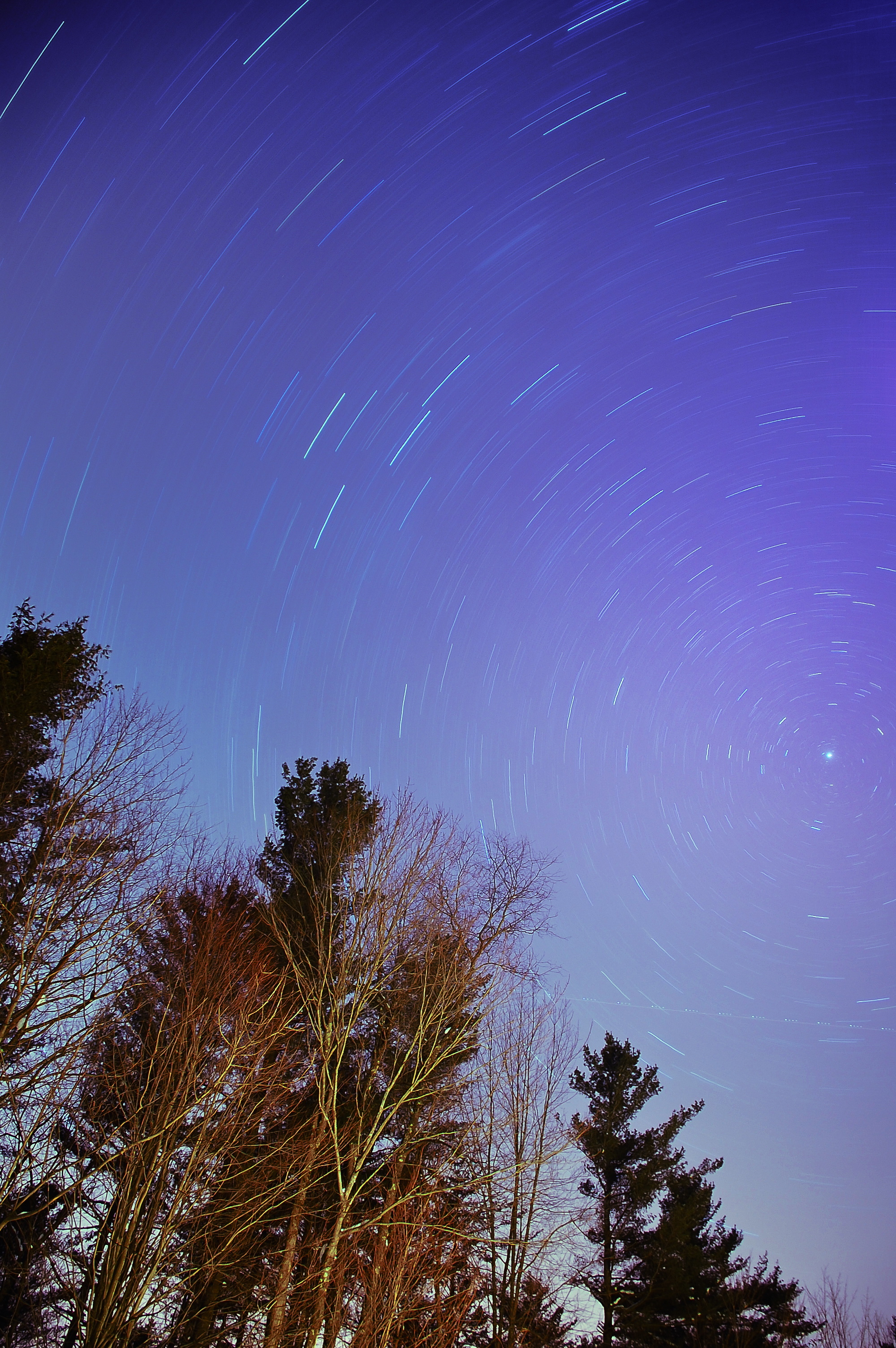
The North Star
Another View of the Fall
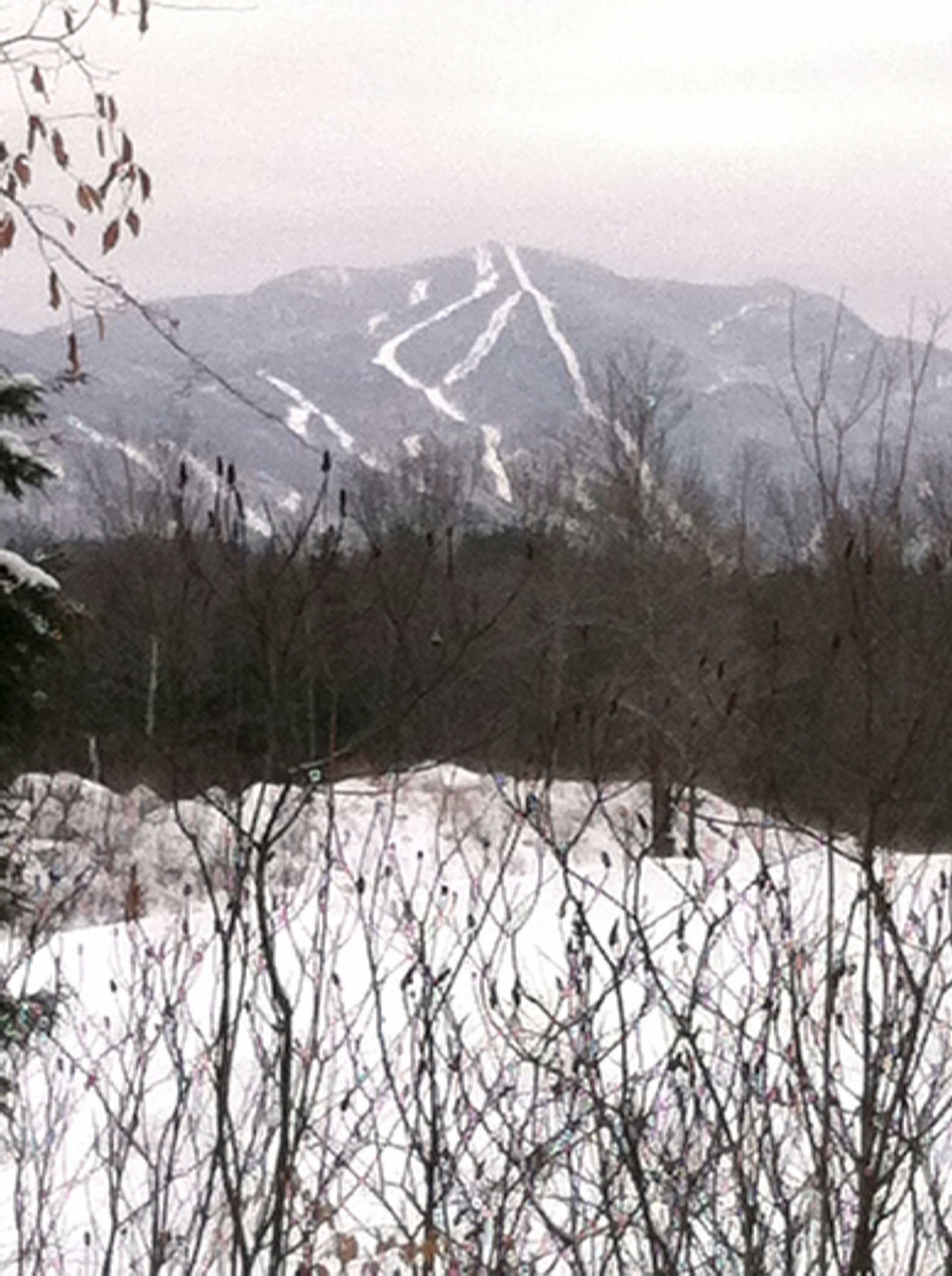
Mt. SterlingJeffersonville,VT.
QUESTION MARK

Mansfield Sunset Dog Walk
Mount Mansfield vu de chez Rilda

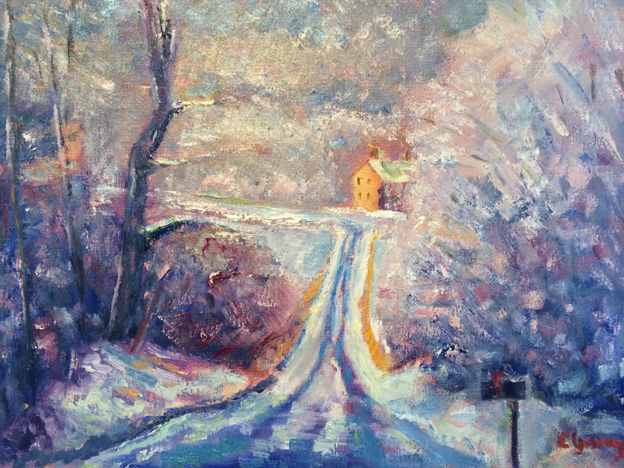
Snow, It Begins
Morning in Vermont
Vermont_DSC0862-Edit-Edit2.jpg
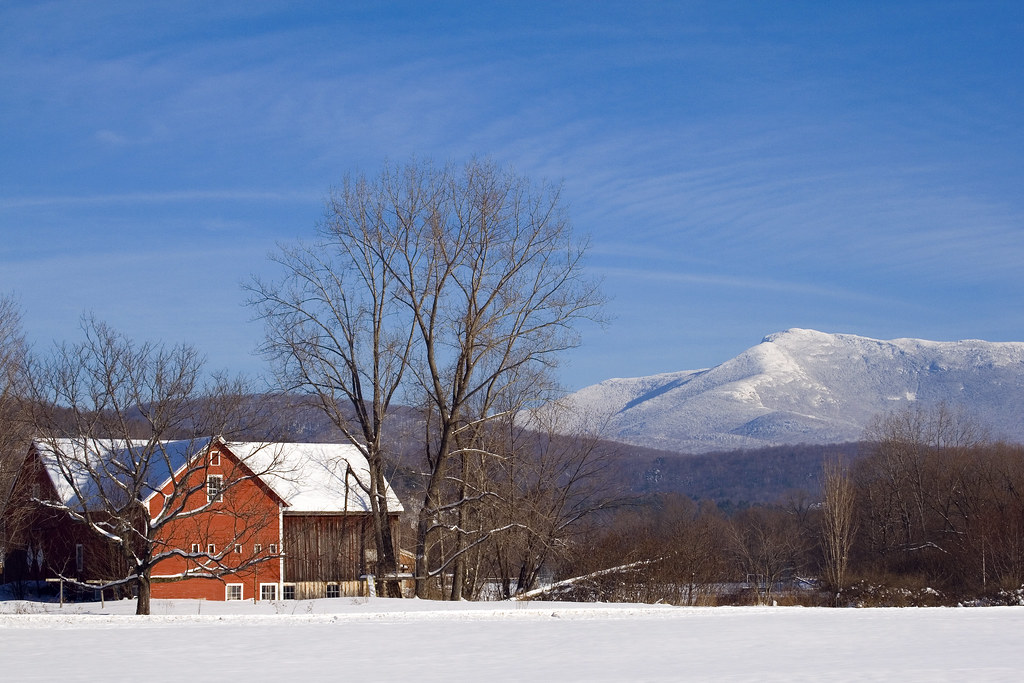
Underhill Barn
t42_901120151011_DSC5284.jpg
Vermont_DSC0862-Edit-Edit.jpg

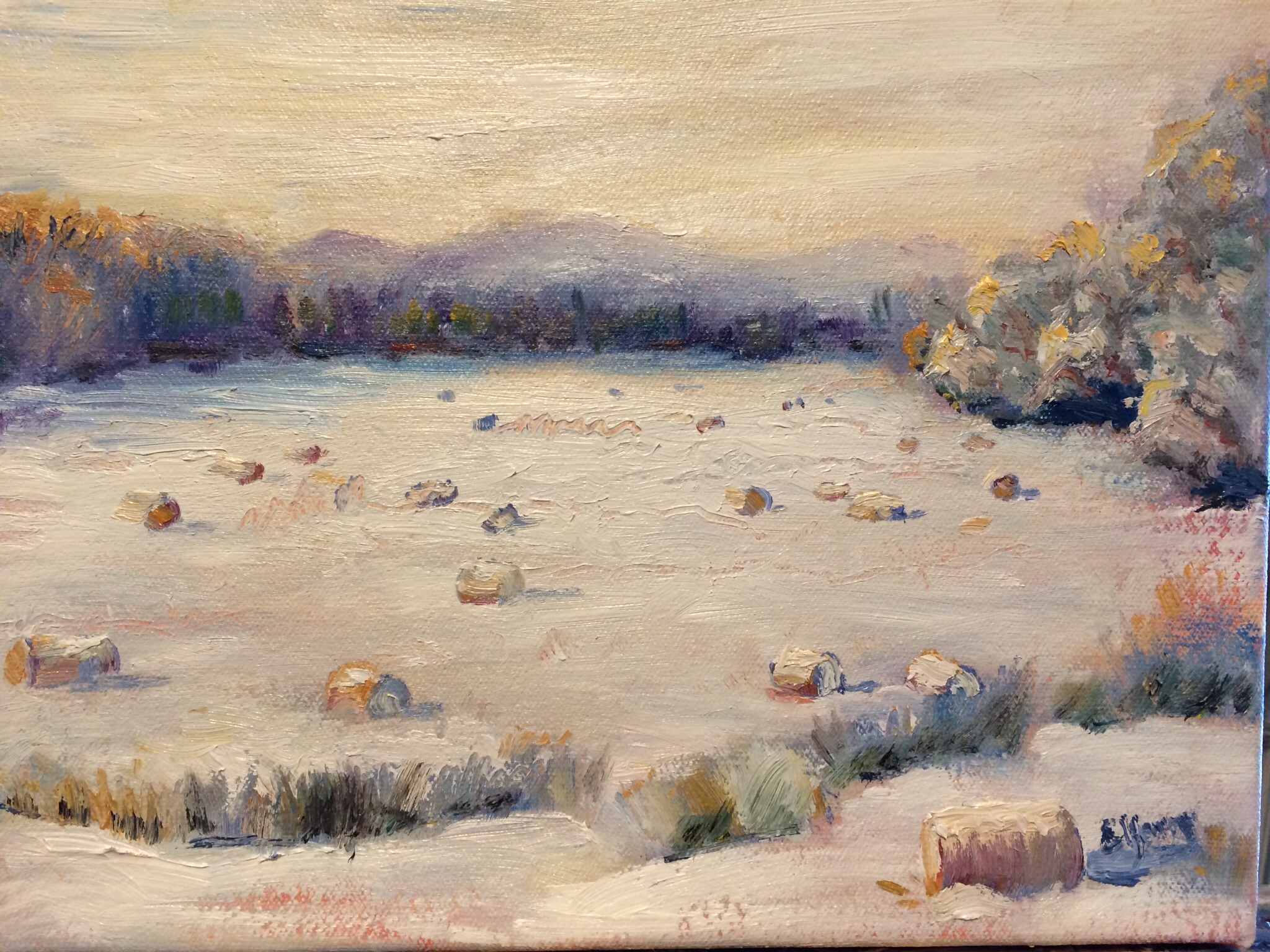
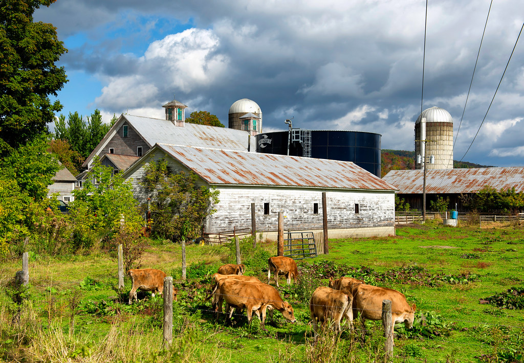
More Hay Bales
Fairfax Falls, Vermont-7357
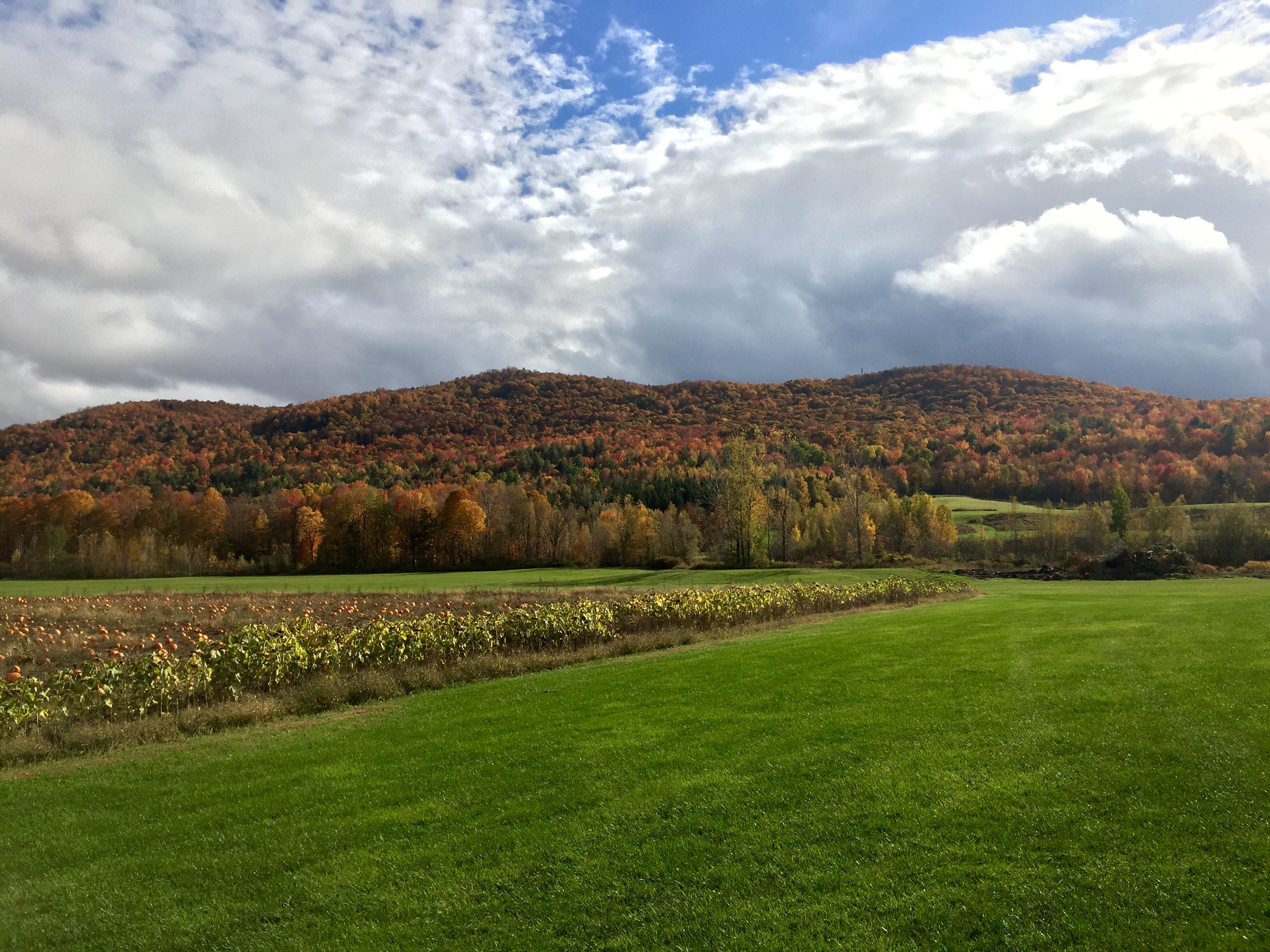
Pumpkin picking and hike 10/14/15
Covered Gems of Vermont (DSH_5375-77)

Farm at Sunset, Cambridge, Vermont.

Beautiful Evening In Jeffersonville 2
Lower Falls
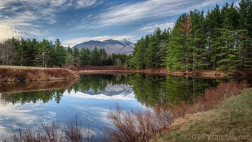
Vermont Pond
Vermont_D718576-Edit-Edit.jpg
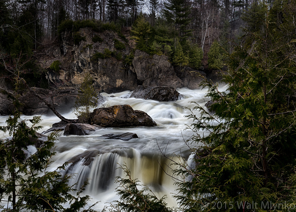
Milton Falls

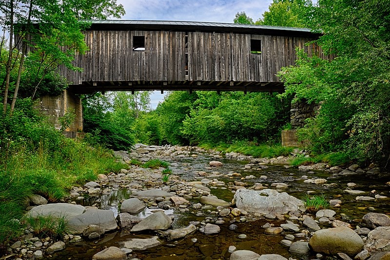
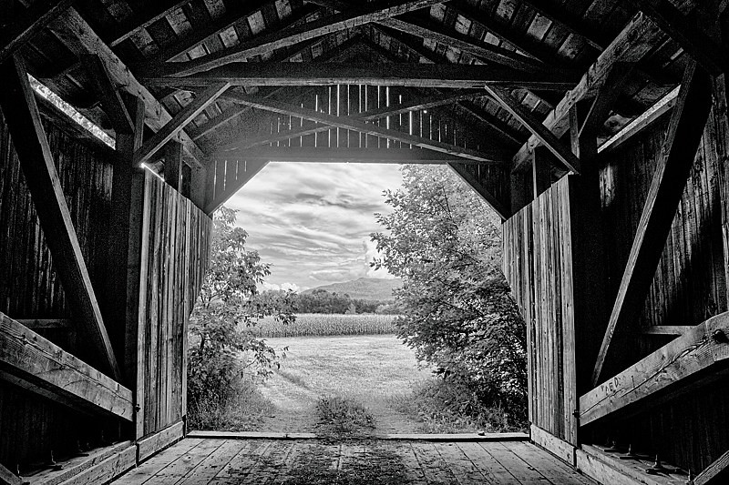
Grist Mill Bridge - Jeffersonville, VT
VT backyard
Topographic Map of 40 Rowland Rd, Fairfax, VT, USA
Find elevation by address:

Places near 40 Rowland Rd, Fairfax, VT, USA:
Shepardson Hollow Road
Fairfax
1188 Main St
460 Goose Pond Rd
135 Tabor Hill Rd
408 Town Hwy 21
Fletcher
1828 Fairfield Rd
71 Lawton Rd
Gaudette Farm Road
4110 Fairfield Rd
1254 Buck Hollow Rd
2 Austin Rd
1467 Buck Hollow Rd
38 Craftsfield Rd
40 Craftsfield Rd
19 Town Hwy 12
1013 Will George Rd
70 Jed Shepard Rd, Fairfax, VT, USA
385 N Cambridge Rd
Recent Searches:
- Elevation of Homestead Ridge, New Braunfels, TX, USA
- Elevation of Orchard Road, Orchard Rd, Marlborough, NY, USA
- Elevation of 12 Hutchinson Woods Dr, Fletcher, NC, USA
- Elevation of Holloway Ave, San Francisco, CA, USA
- Elevation of Norfolk, NY, USA
- Elevation of - San Marcos Pass Rd, Santa Barbara, CA, USA
- Elevation of th Pl SE, Issaquah, WA, USA
- Elevation of 82- D Rd, Captain Cook, HI, USA
- Elevation of Harlow CM20 2PR, UK
- Elevation of Shenyang Agricultural University, Dong Ling Lu, Shen He Qu, Shen Yang Shi, Liao Ning Sheng, China