Elevation of Eden, IA, USA
Location: United States > Iowa > Benton County >
Longitude: -92.007731
Latitude: 42.0804619
Elevation: 283m / 928feet
Barometric Pressure: 98KPa
Elevation Map:
Satellite Map:
Related Photos:
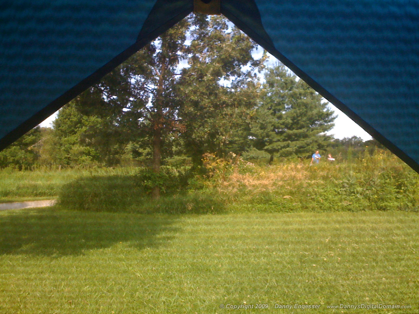
I've got this view this mornin'. Bonus points if you can name the couple in this photo!

The Lazy Summer Days of 2013

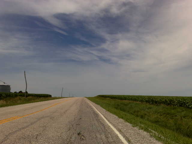
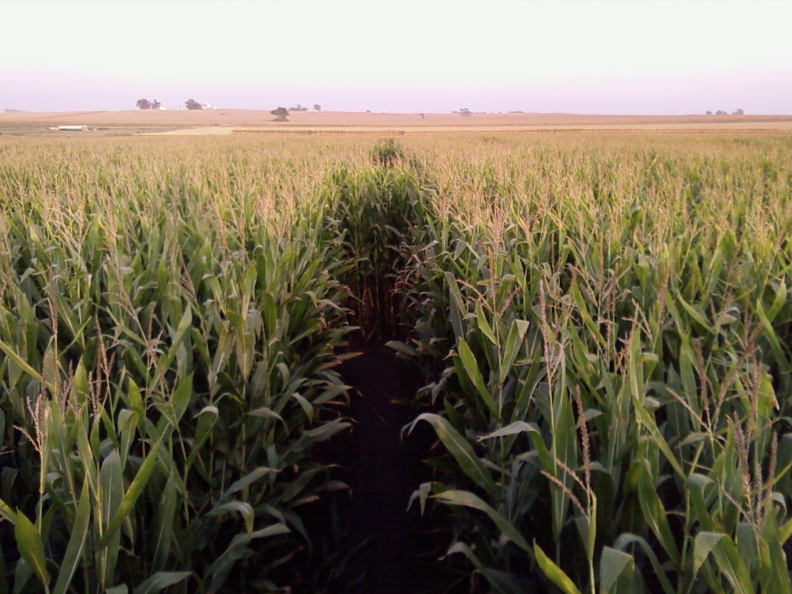
Across a sea of corn
Blue Steel took a picture!

Read Between the Lines

Sacred Ground - Prairie Lutheran Cemetery
Blue Steel took a picture!
Blue Steel took a picture!

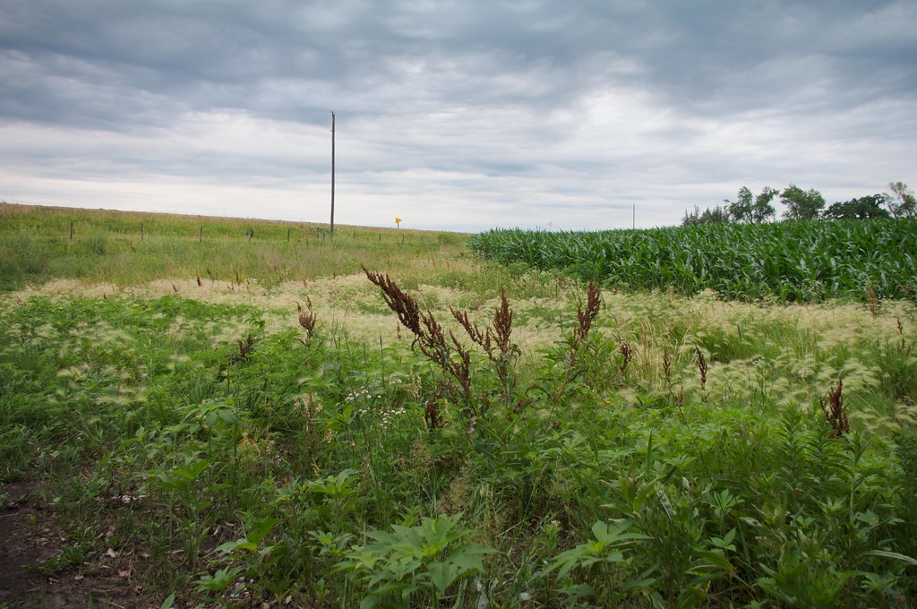
Fields of soybeans
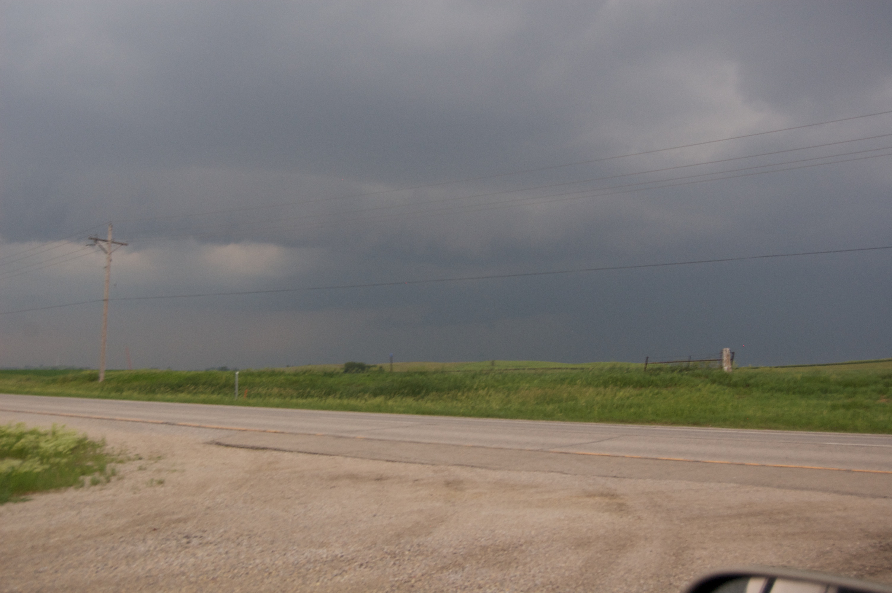
Storm 6_8_2011 337
Corn Maze @ Bloomsbury Farm

Grasshopper Sparrow
Country living

Stars over the Cedar River

The sun ducks behind the clouds
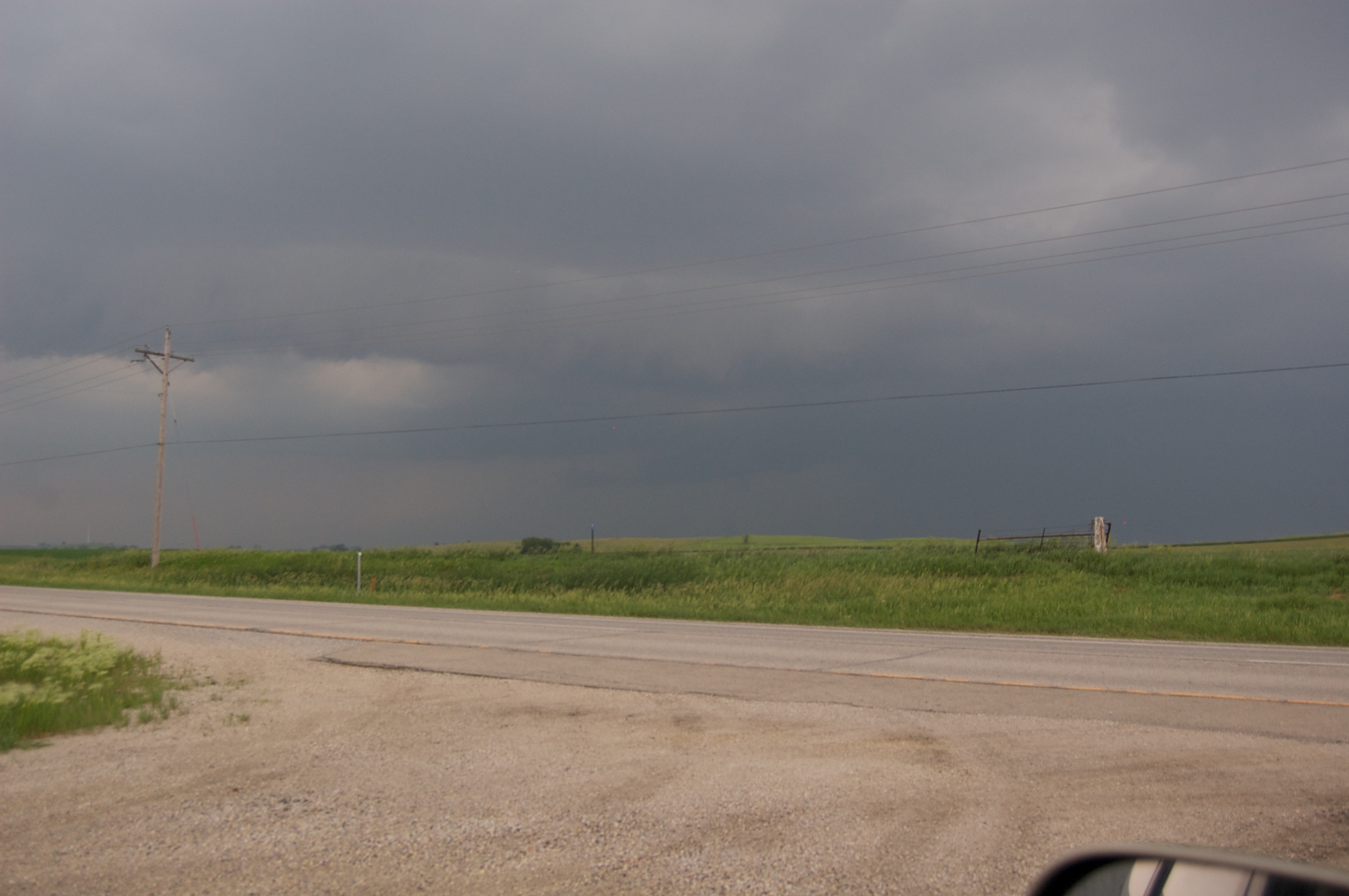
Storm 6_8_2011 336
Topographic Map of Eden, IA, USA
Find elevation by address:

Places in Eden, IA, USA:
Places near Eden, IA, USA:
63rd St, Vinton, IA, USA
22nd Avenue
Eldorado
Benton County
Railroad St, Newhall, IA, USA
Newhall
106 Taylor St
Shellsburg
Pearl St, Shellsburg, IA, USA
Fremont
Jackson
Garrison
N Sycamore Ave, Garrison, IA, USA
St. Clair
Atkins
76 Main Ave, Atkins, IA, USA
3377 64th St
Locust St NE, Blairstown, IA, USA
Blairstown
Watkins
Recent Searches:
- Elevation of Leguwa, Nepal
- Elevation of County Rd, Enterprise, AL, USA
- Elevation of Kolchuginsky District, Vladimir Oblast, Russia
- Elevation of Shustino, Vladimir Oblast, Russia
- Elevation of Lampiasi St, Sarasota, FL, USA
- Elevation of Elwyn Dr, Roanoke Rapids, NC, USA
- Elevation of Congressional Dr, Stevensville, MD, USA
- Elevation of Bellview Rd, McLean, VA, USA
- Elevation of Stage Island Rd, Chatham, MA, USA
- Elevation of Shibuya Scramble Crossing, 21 Udagawacho, Shibuya City, Tokyo -, Japan