Elevation of Atkins, IA, USA
Location: United States > Iowa > Benton County > Fremont >
Longitude: -91.862126
Latitude: 41.9969436
Elevation: 260m / 853feet
Barometric Pressure: 98KPa
Elevation Map:
Satellite Map:
Related Photos:

Hotel Roosevelt ~ Cedar Rapids Iowa ~ Historical Hotel
Norway-Iowa, that is.

Scattered view.
January 30th
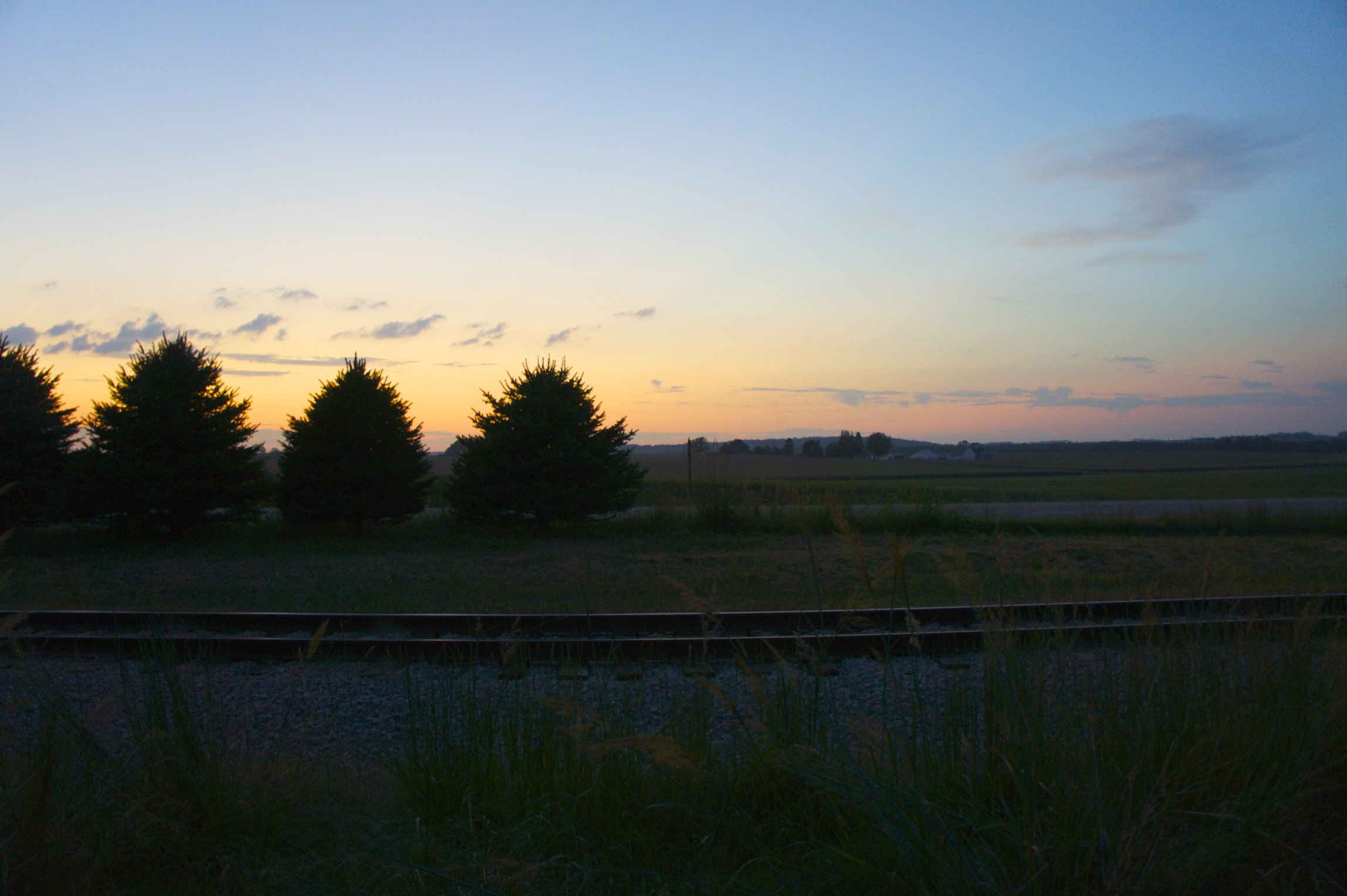
Stopping to enjoy this view.
Illinois Central Freight House, Cedar Rapids, IA. 6/2000.
2003.17.1
View from 1st Ave bridge West

Cedar Rapids at Night. RAGBRAI XL.
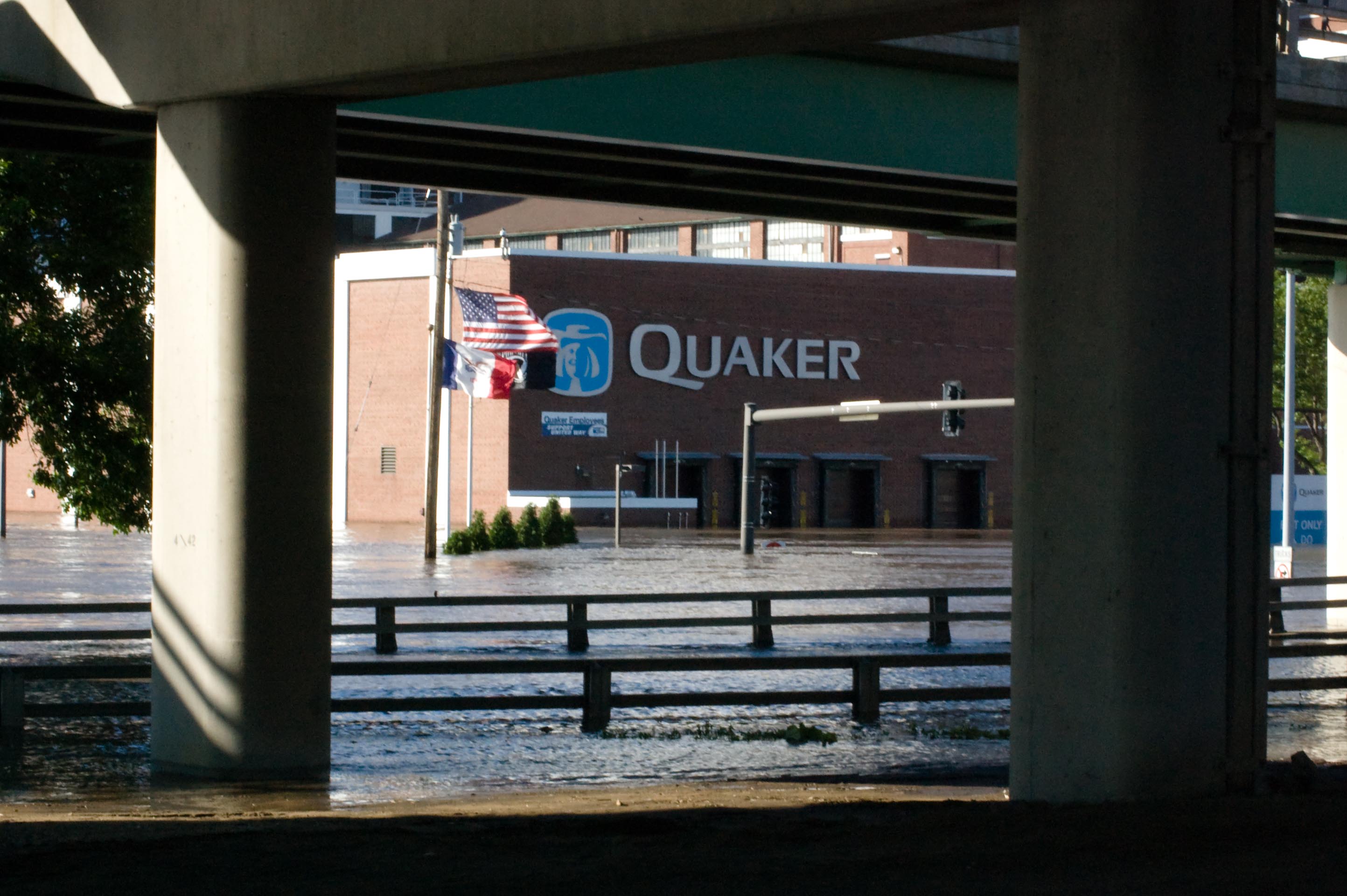
Flooded Cedar Rapids
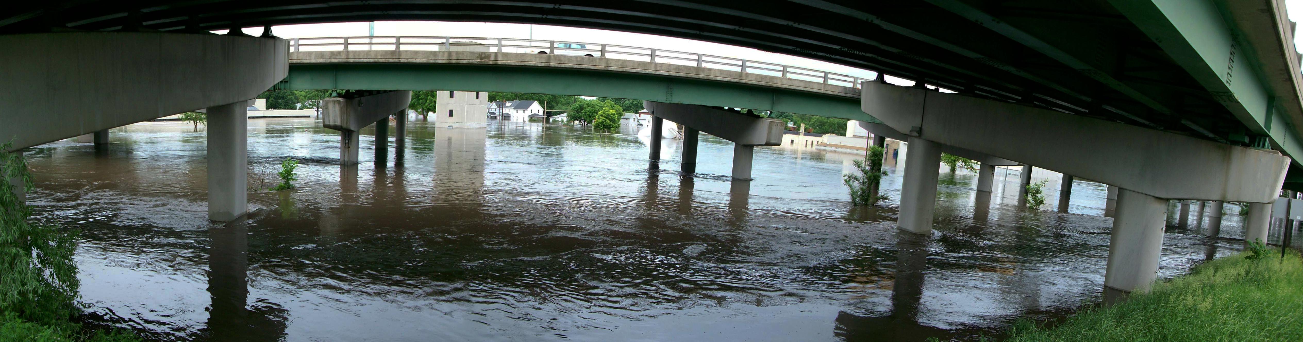
5-in-1 Bridge lower level (2)

Flood of '08-39
Flood of '08-24

CRST school CRIA

L Street at Diagonal Drive and I-380 (before)
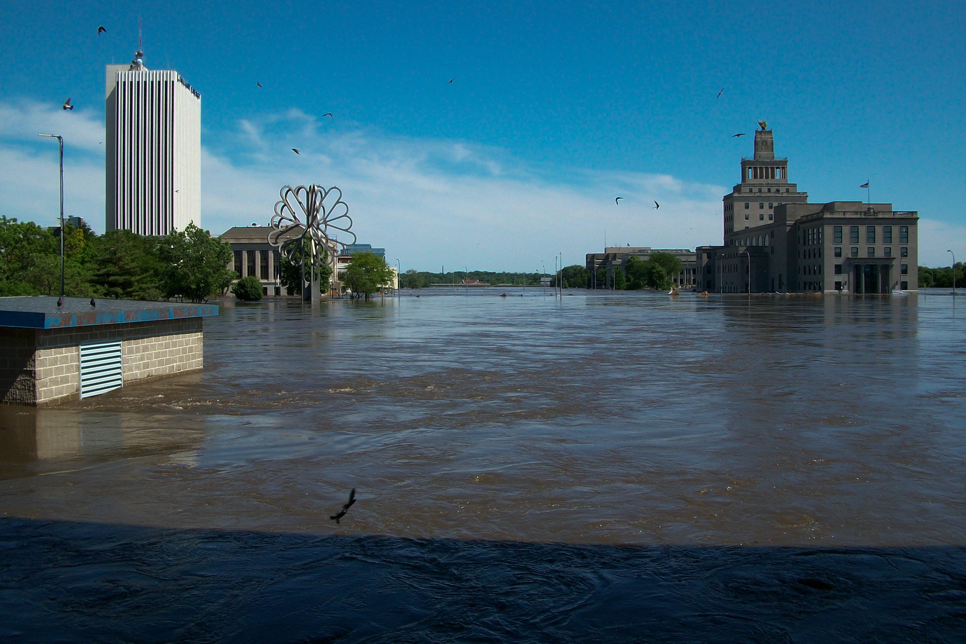
Flood of '08-29
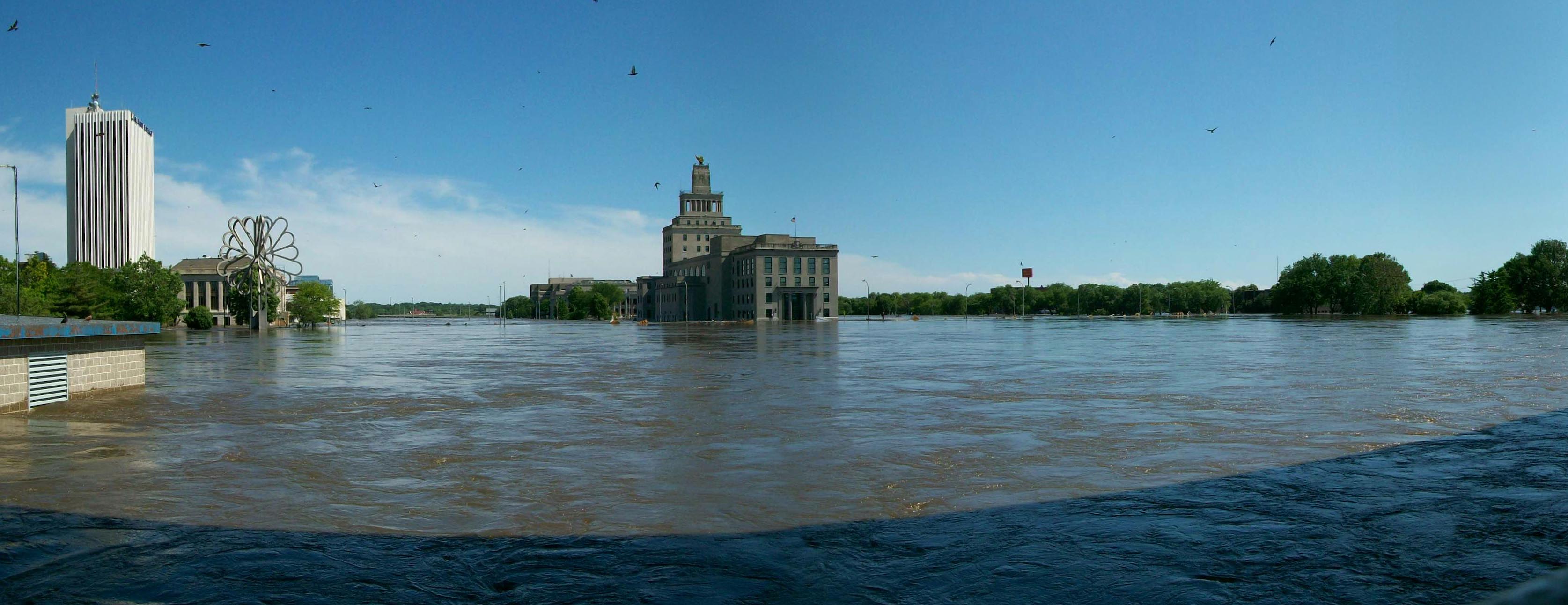
Flood of '08-28
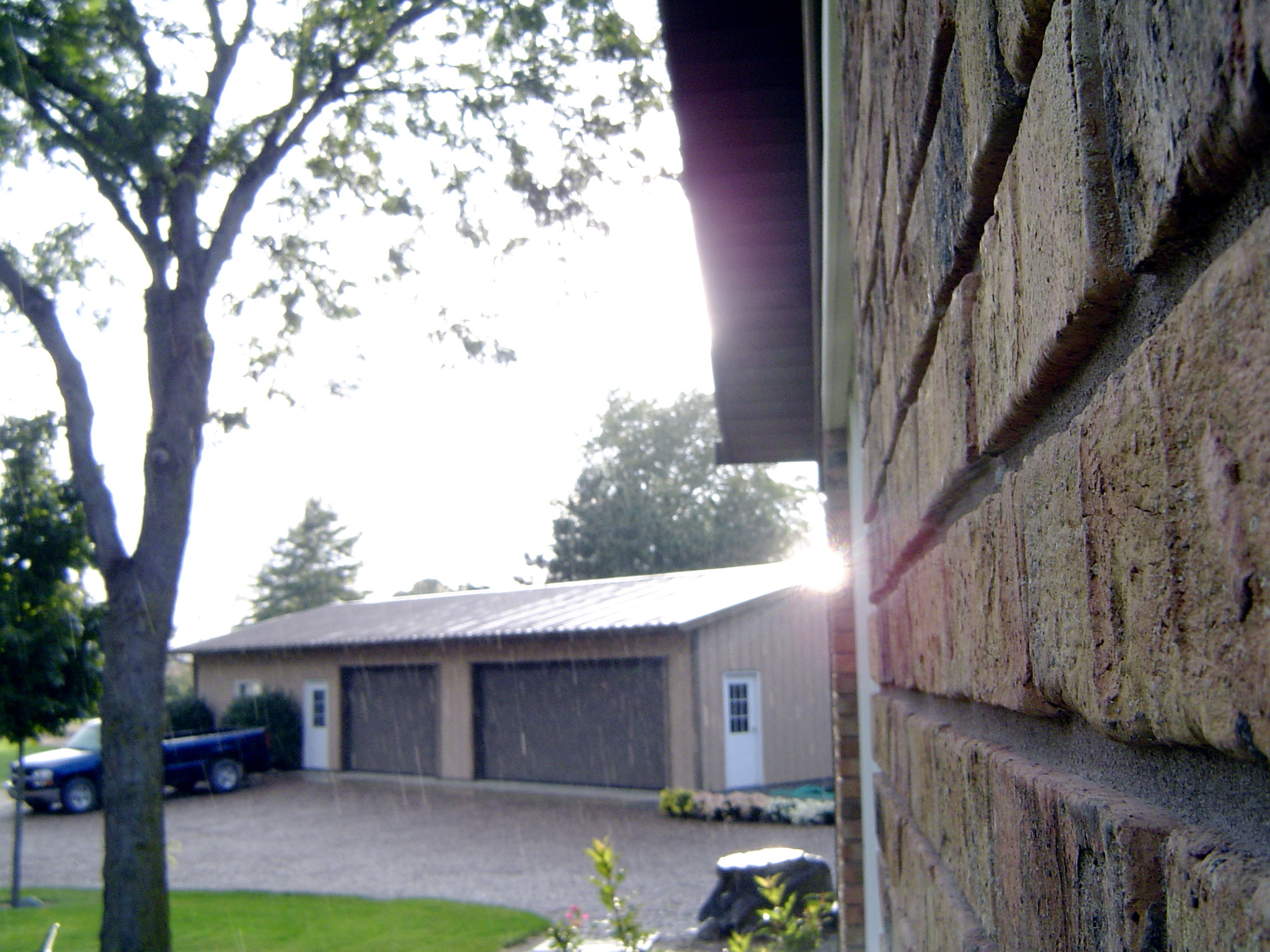
Rainy Brick
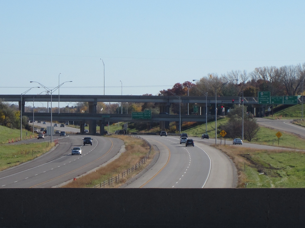
I-380 and IA 100 from Blairs Ferry Road
I've got this view this mornin'. Bonus points if you can name the couple in this photo!
Flood of '08-41

Yellow & Blue.
Boy, you're gonna carry that weight . . . (5 of 8)

DSC01072.ARW

Cloud patch.

Beautiful day for some baseball. (If a bit chilly.) Let's go VMS!! #VSCOcam #vms #vernon #baseball

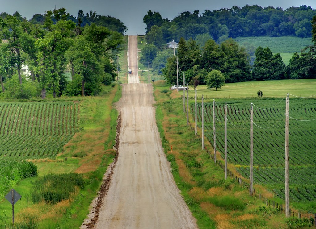
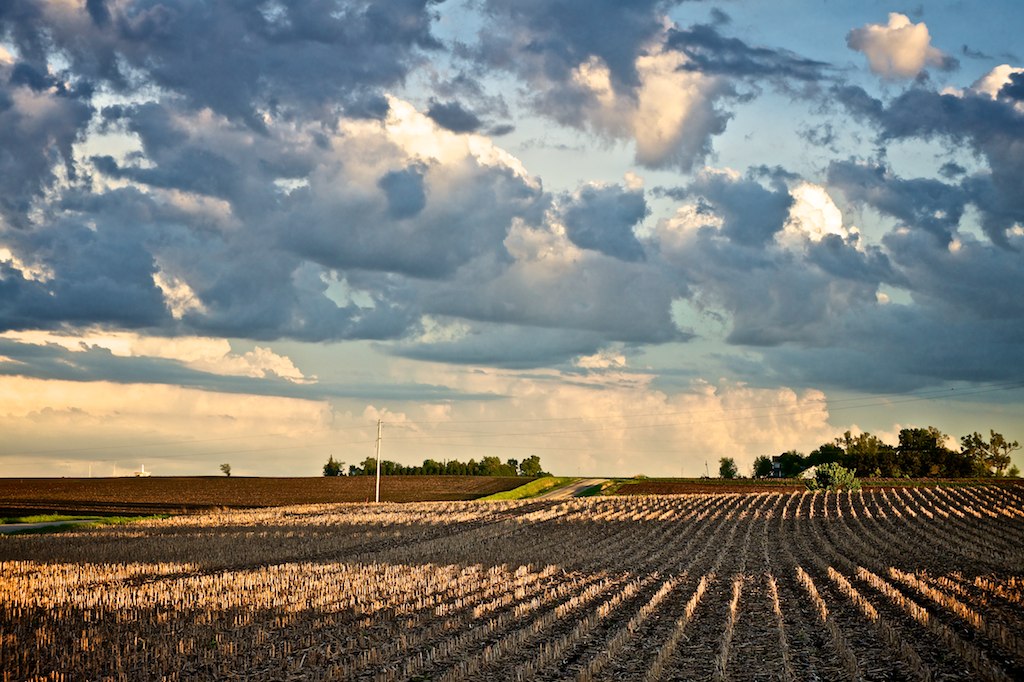
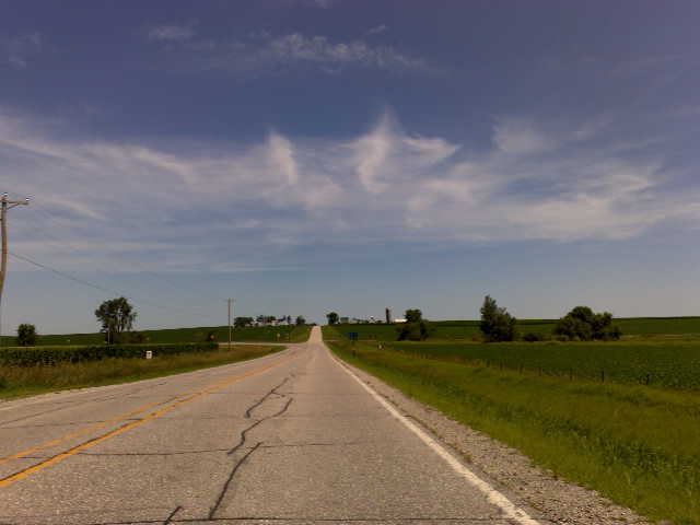
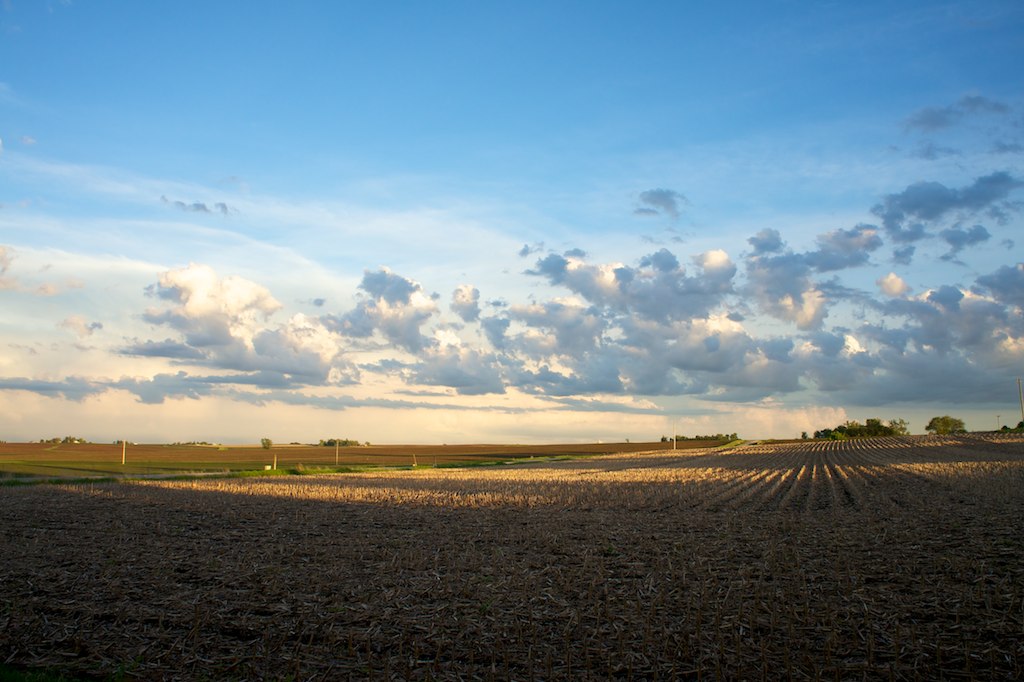
Across a sea of corn
DSC00129.ARW

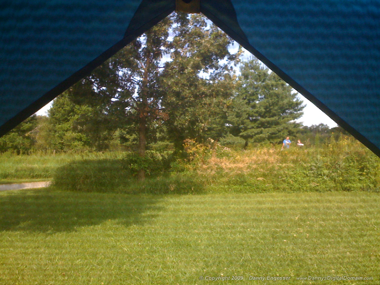
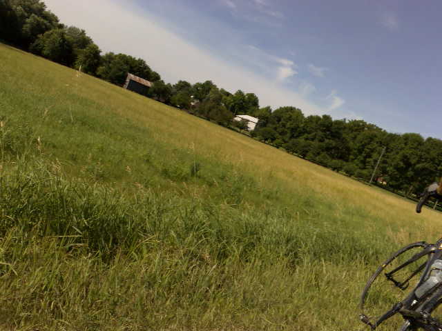
The meadow (normal exposure)
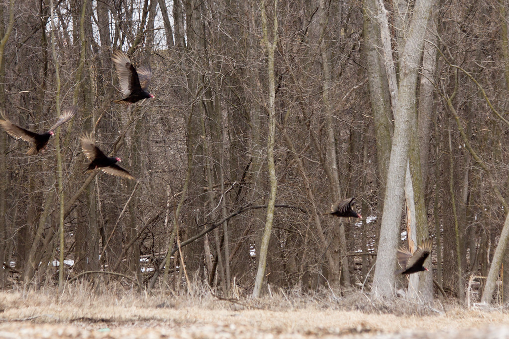
Turkey Vultures

Sacred Ground - Prairie Lutheran Cemetery
Blue Steel took a picture!

Sunburst Honeylocust. #bark

January 29th
Sky after a storm.

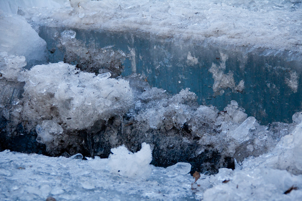
Ice River
Blue Steel took a picture!
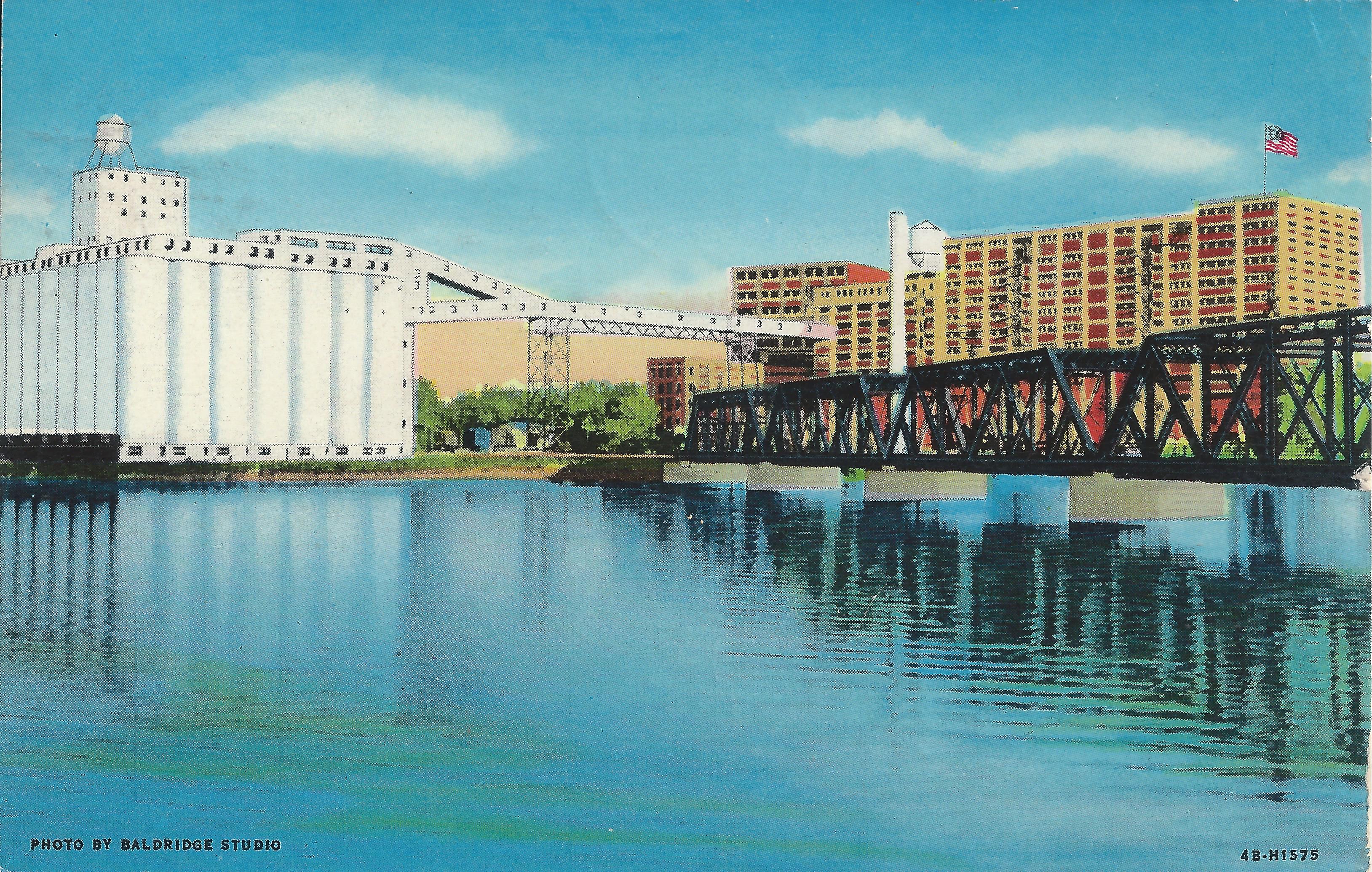
Cedar Rapids, Iowa, Quaker Oats, Cedar Lake, Railroad Bridge
Close up II
Blue Steel took a picture!
Retreating clouds.
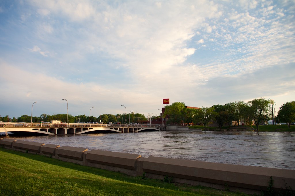
Flooding 2013
Topographic Map of Atkins, IA, USA
Find elevation by address:

Places in Atkins, IA, USA:
Places near Atkins, IA, USA:
76 Main Ave, Atkins, IA, USA
Fremont
Clinton
Florence
7086 Worcester Rd
N Glen Dr, Palo, IA, USA
425 Rockhurst Dr Sw
Newhall
Railroad St, Newhall, IA, USA
Main St, Norway, IA, USA
Norway
Fairfax
Vanderbilt St, Fairfax, IA, USA
3rd St N, Walford, IA, USA
Walford
Fairfax
Eldorado
Turner St, Watkins, IA, USA
Watkins
St. Clair
Recent Searches:
- Elevation of Pykes Down, Ivybridge PL21 0BY, UK
- Elevation of Jalan Senandin, Lutong, Miri, Sarawak, Malaysia
- Elevation of Bilohirs'k
- Elevation of 30 Oak Lawn Dr, Barkhamsted, CT, USA
- Elevation of Luther Road, Luther Rd, Auburn, CA, USA
- Elevation of Unnamed Road, Respublika Severnaya Osetiya — Alaniya, Russia
- Elevation of Verkhny Fiagdon, North Ossetia–Alania Republic, Russia
- Elevation of F. Viola Hiway, San Rafael, Bulacan, Philippines
- Elevation of Herbage Dr, Gulfport, MS, USA
- Elevation of Lilac Cir, Haldimand, ON N3W 2G9, Canada