Elevation of Newhall, IA, USA
Location: United States > Iowa > Benton County > Eldorado >
Longitude: -91.967681
Latitude: 41.9955551
Elevation: 266m / 873feet
Barometric Pressure: 98KPa
Elevation Map:
Satellite Map:
Related Photos:
Norway-Iowa, that is.
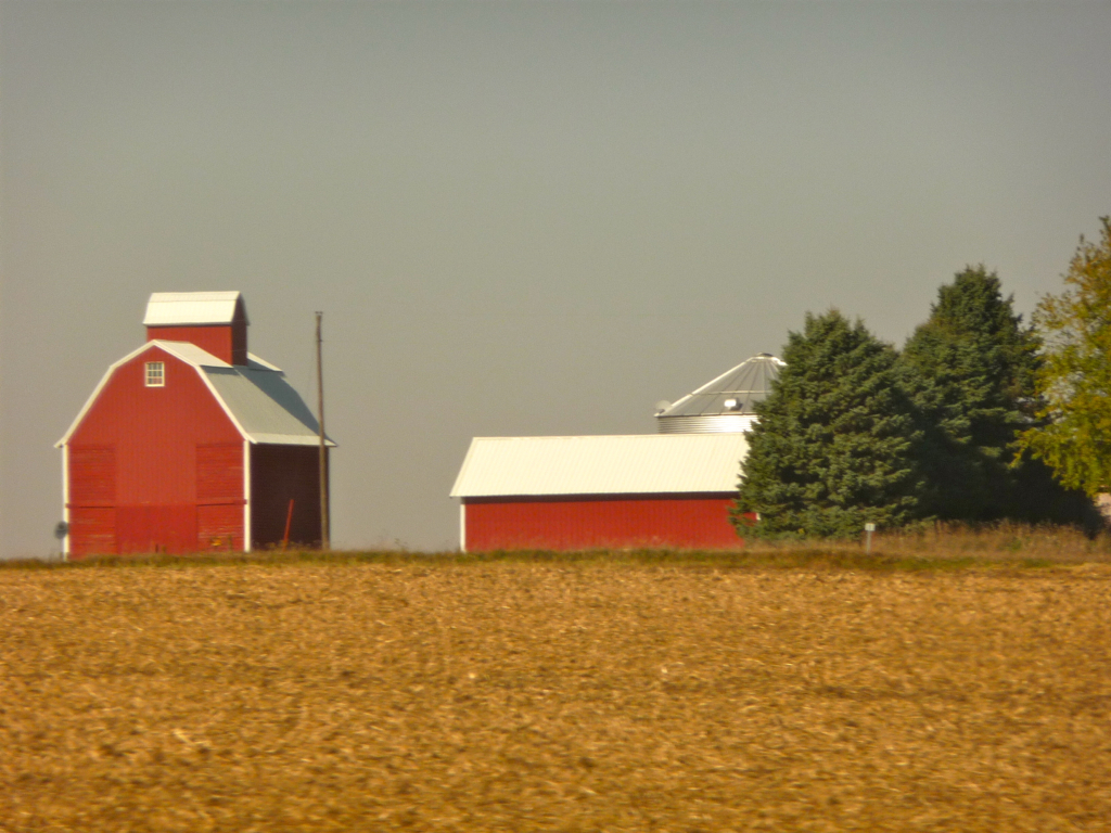
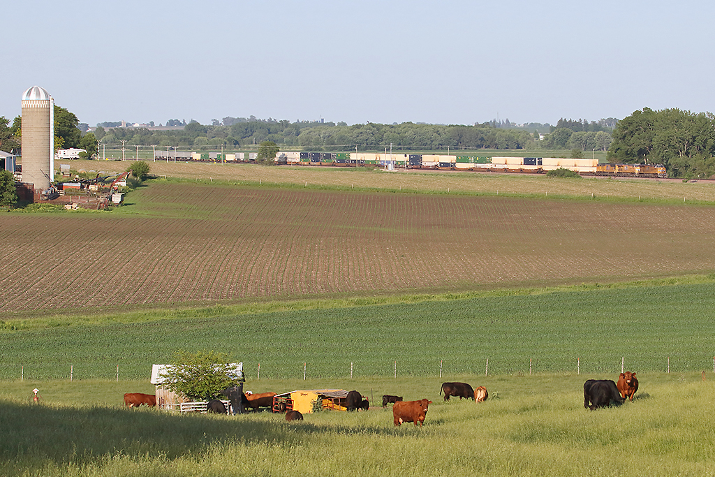
Iowa: Farmstead near Clinton
Boy, you're gonna carry that weight . . . (5 of 8)

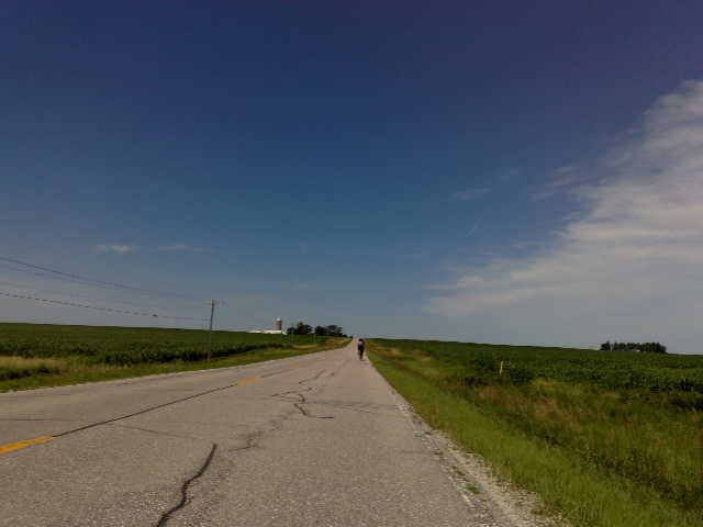
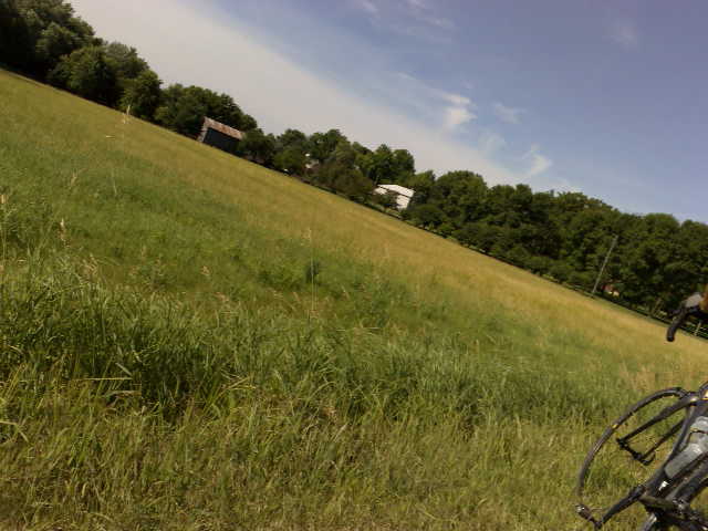
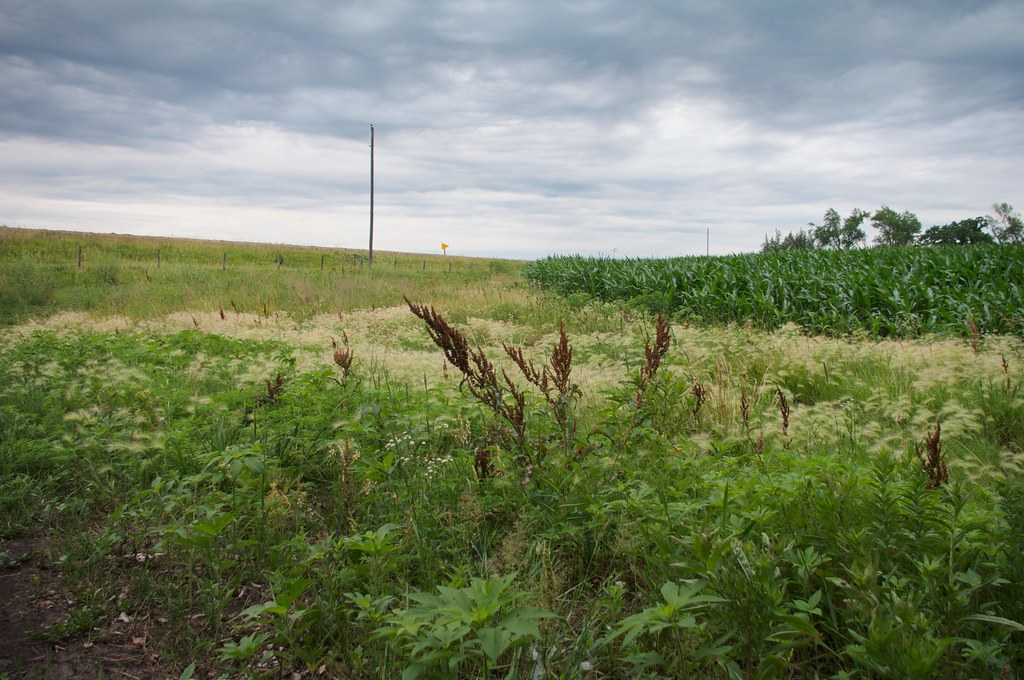
Across a sea of corn

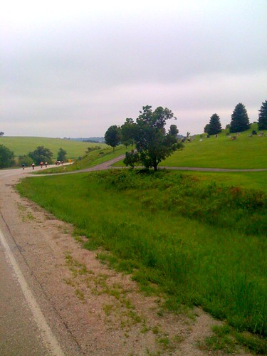
Sacred Ground - Prairie Lutheran Cemetery
Blue Steel took a picture!
Blue Steel took a picture!
Blue Steel took a picture!

Fields of soybeans
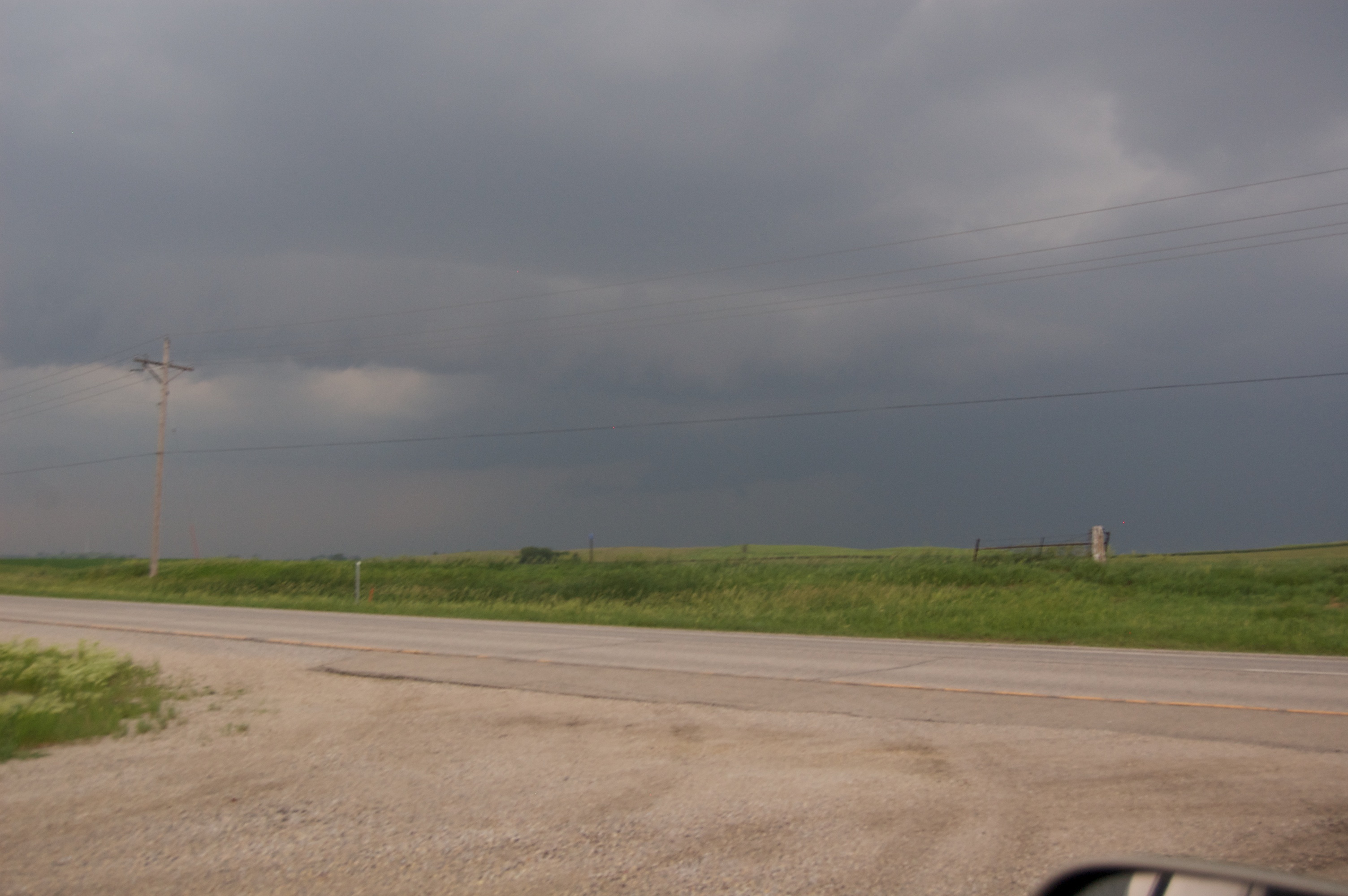
Storm 6_8_2011 337
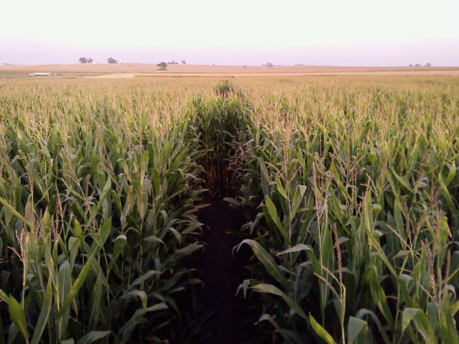
Corn Maze @ Bloomsbury Farm
Country living

The sun ducks behind the clouds
Blue Steel took a picture!
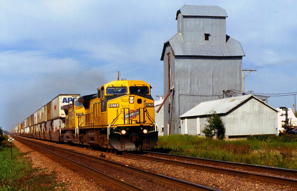
UP 2542 Westbound ZG1BRB West of Norway IA
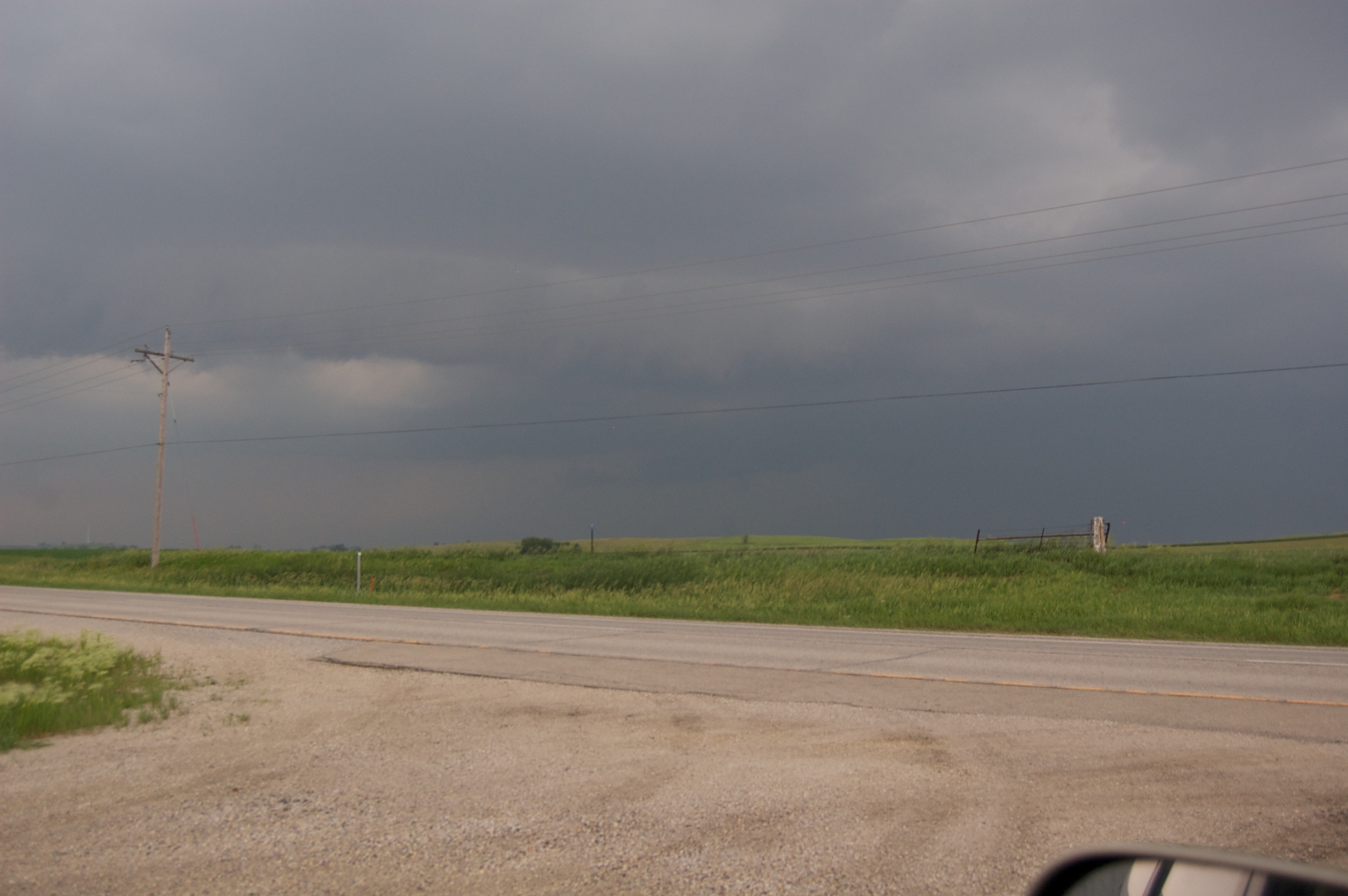
Storm 6_8_2011 336
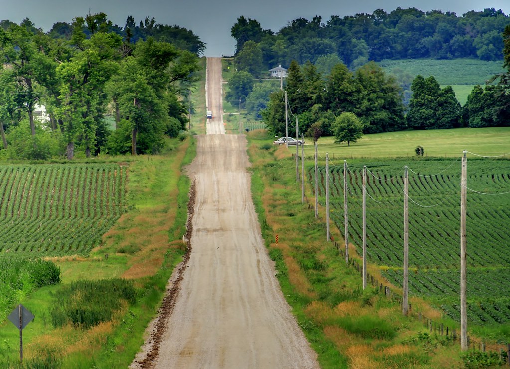
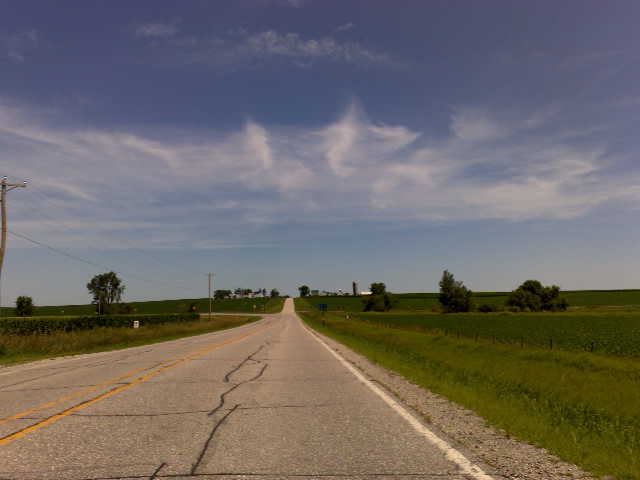
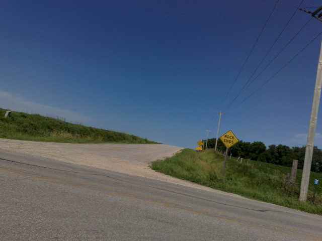
Blairstown, Jul 24, 2008
Topographic Map of Newhall, IA, USA
Find elevation by address:

Places in Newhall, IA, USA:
Places near Newhall, IA, USA:
Railroad St, Newhall, IA, USA
Eldorado
Fremont
St. Clair
Main St, Norway, IA, USA
Norway
Florence
Atkins
Watkins
76 Main Ave, Atkins, IA, USA
Turner St, Watkins, IA, USA
Locust St NE, Blairstown, IA, USA
Blairstown
Clinton
3rd St N, Walford, IA, USA
Walford
Fairfax
Vanderbilt St, Fairfax, IA, USA
7086 Worcester Rd
425 Rockhurst Dr Sw
Recent Searches:
- Elevation of Warwick, RI, USA
- Elevation of Fern Rd, Whitmore, CA, USA
- Elevation of 62 Abbey St, Marshfield, MA, USA
- Elevation of Fernwood, Bradenton, FL, USA
- Elevation of Felindre, Swansea SA5 7LU, UK
- Elevation of Leyte Industrial Development Estate, Isabel, Leyte, Philippines
- Elevation of W Granada St, Tampa, FL, USA
- Elevation of Pykes Down, Ivybridge PL21 0BY, UK
- Elevation of Jalan Senandin, Lutong, Miri, Sarawak, Malaysia
- Elevation of Bilohirs'k