Elevation of E N, Shelley, ID, USA
Location: United States > Idaho > Bingham County > Shelley >
Longitude: -112.16262
Latitude: 43.3743555
Elevation: 1400m / 4593feet
Barometric Pressure: 86KPa
Elevation Map:
Satellite Map:
Related Photos:

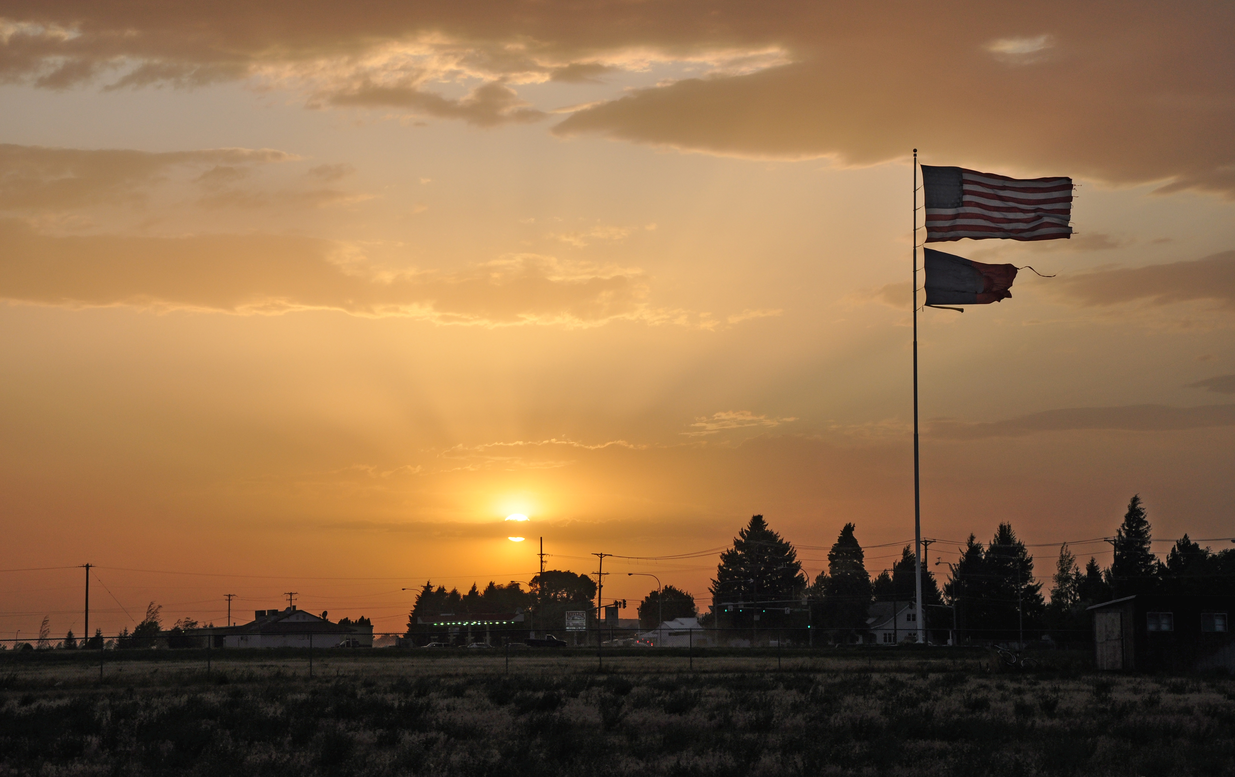
Understanding Subdues Uncertainty, Faith Conquers Doubt
August 6
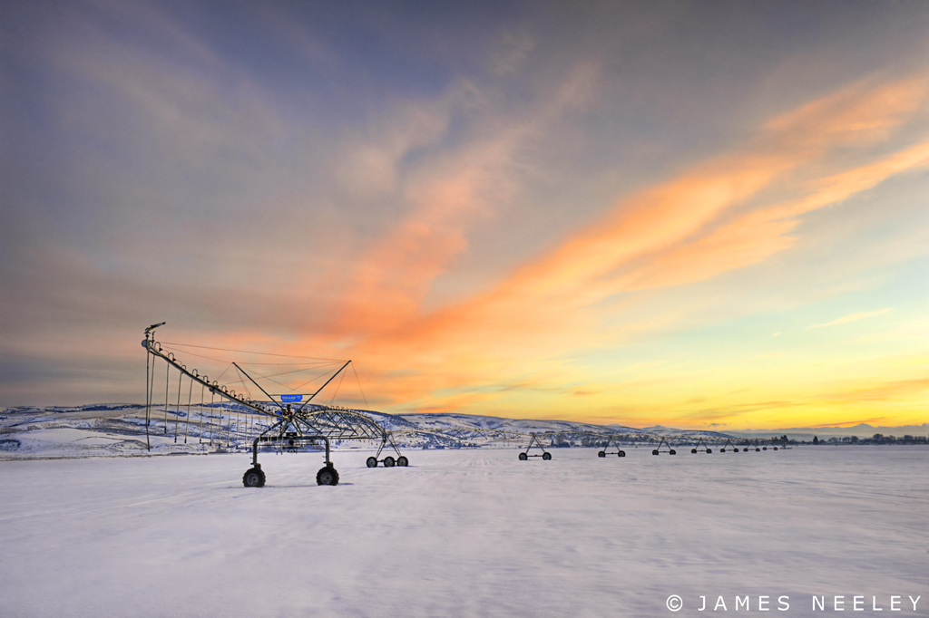
Spring Will Come

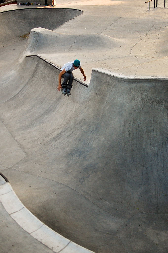
Serval - Most Viewed

Driver's seat. iP5. View from my bike on the ride into Canada. Go pros rolling. iPhones clicking away. What a blast!

Day 284 of 365: Ethics

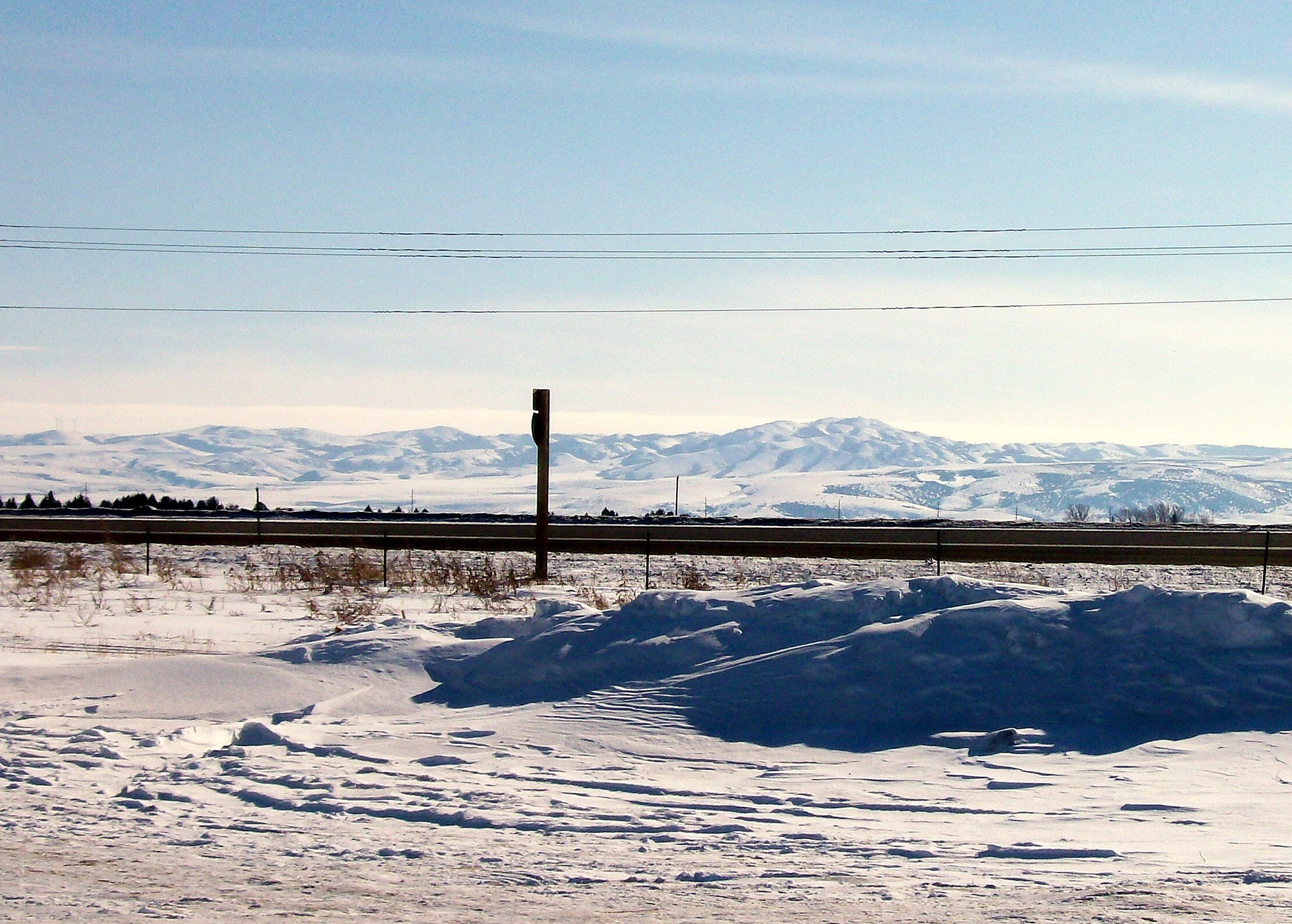
Different View Indeed
Tyler Mikesell
My view from work this afternoon

Busy Bee
View from the top
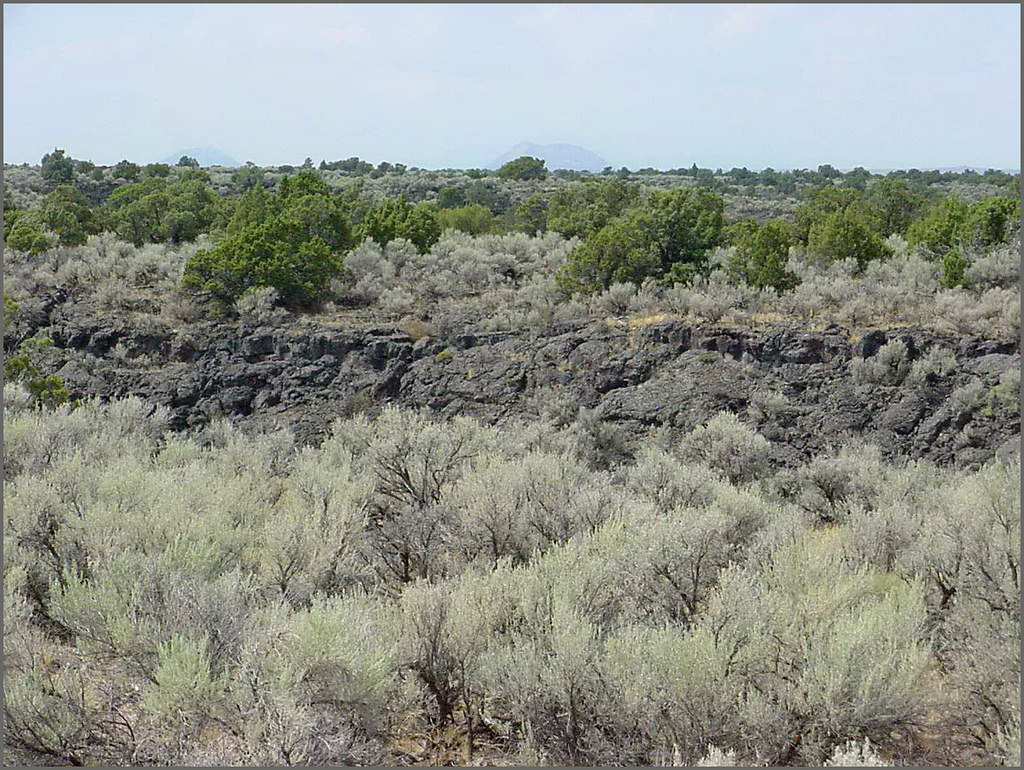
Hells Half Acre; view of lava field
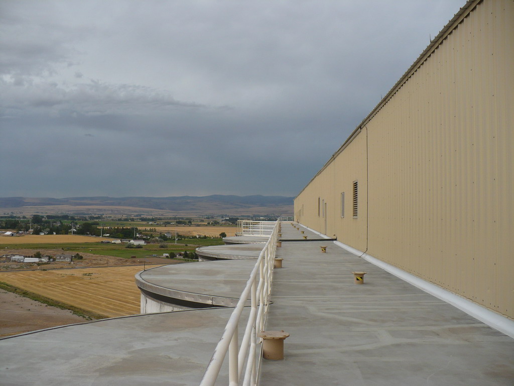
View of Malthouse 2
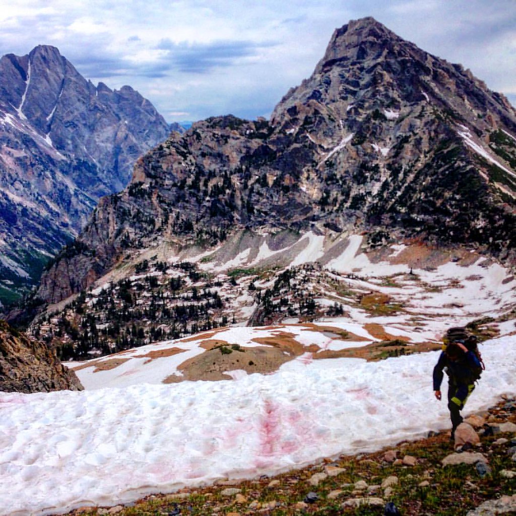
Sky on top of this morning's snowy ascent of the pb divide. Happy Fourth of July everyone! Just got down from backpacking in the Tetons and all I want to do is ditch the pack and go for another hike. After two beers of course. Good to see a LOT of famili
Time Gone By
Topographic Map of E N, Shelley, ID, USA
Find elevation by address:

Places near E N, Shelley, ID, USA:
North Bingham County Library
Shelley
240 E Fir St
Woodville Rd, Shelley, ID, USA
E N, Shelley, ID, USA
Firth Rd, Firth, ID, USA
Firth
637 N 550 E
Cedar St, Shelley, ID, USA
N E, Firth, ID, USA
W S, Idaho Falls, ID, USA
1198 N 1325 E
1995 S Bellin Rd
E N, Blackfoot, ID, USA
Stone Run Ln, Idaho Falls, ID, USA
Sandy Downs Arena
Idaho Falls
N W, Blackfoot, ID, USA
1800 E 49th S #7654
1505 Ponderosa Dr
Recent Searches:
- Elevation of Tenjo, Cundinamarca, Colombia
- Elevation of Côte-des-Neiges, Montreal, QC H4A 3J6, Canada
- Elevation of Bobcat Dr, Helena, MT, USA
- Elevation of Zu den Ihlowbergen, Althüttendorf, Germany
- Elevation of Badaber, Peshawar, Khyber Pakhtunkhwa, Pakistan
- Elevation of SE Heron Loop, Lincoln City, OR, USA
- Elevation of Slanický ostrov, 01 Námestovo, Slovakia
- Elevation of Spaceport America, Co Rd A, Truth or Consequences, NM, USA
- Elevation of Warwick, RI, USA
- Elevation of Fern Rd, Whitmore, CA, USA