Elevation of Firth, ID, USA
Location: United States > Idaho > Bingham County >
Longitude: -112.18302
Latitude: 43.3051934
Elevation: 1392m / 4567feet
Barometric Pressure: 86KPa
Elevation Map:
Satellite Map:
Related Photos:

Day 284 of 365: Ethics

Different View Indeed
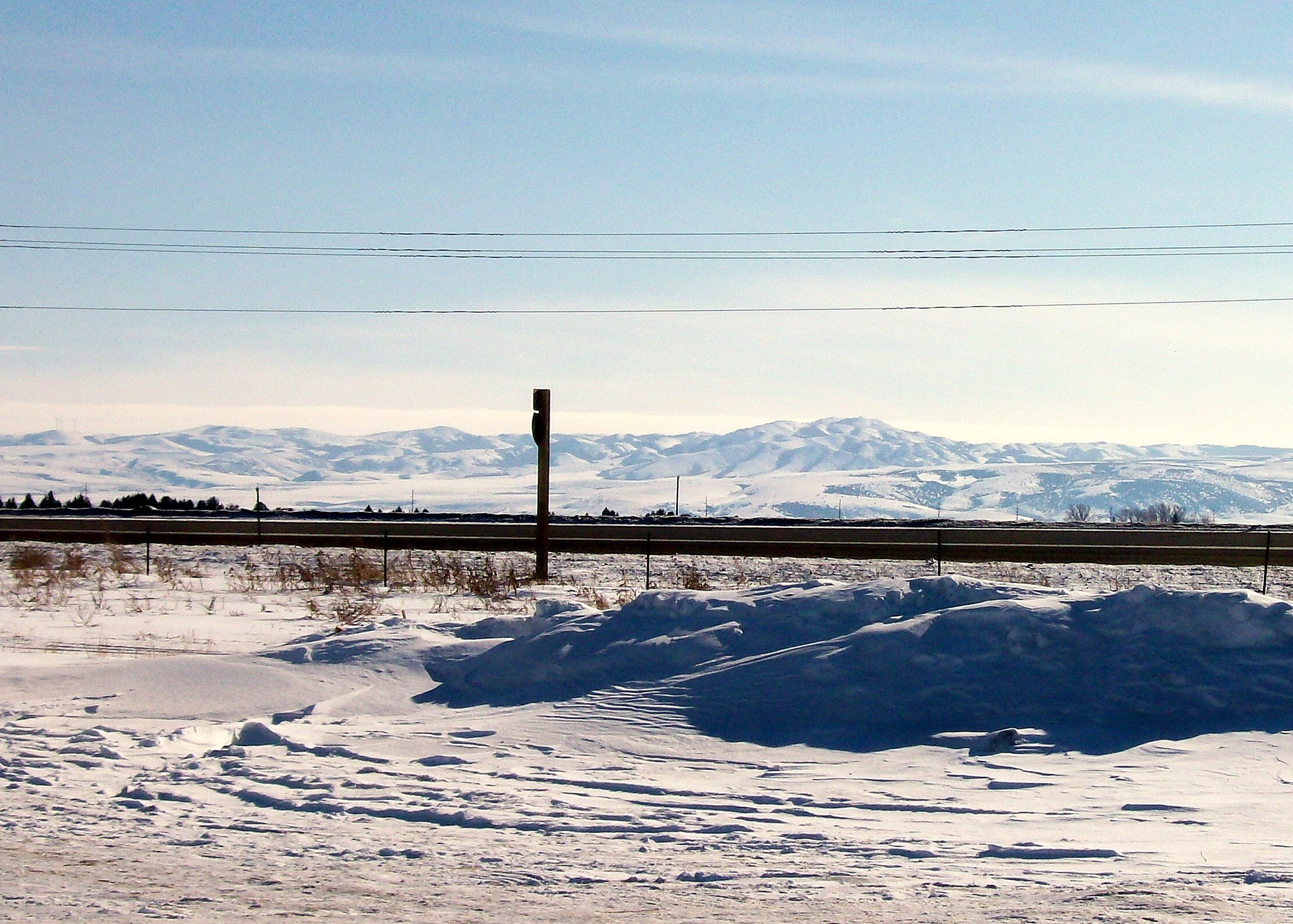
My view from work this afternoon
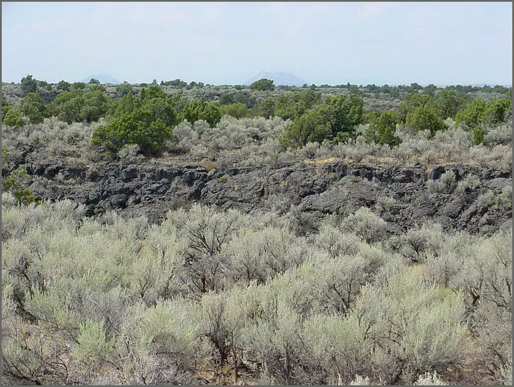
Hells Half Acre; view of lava field
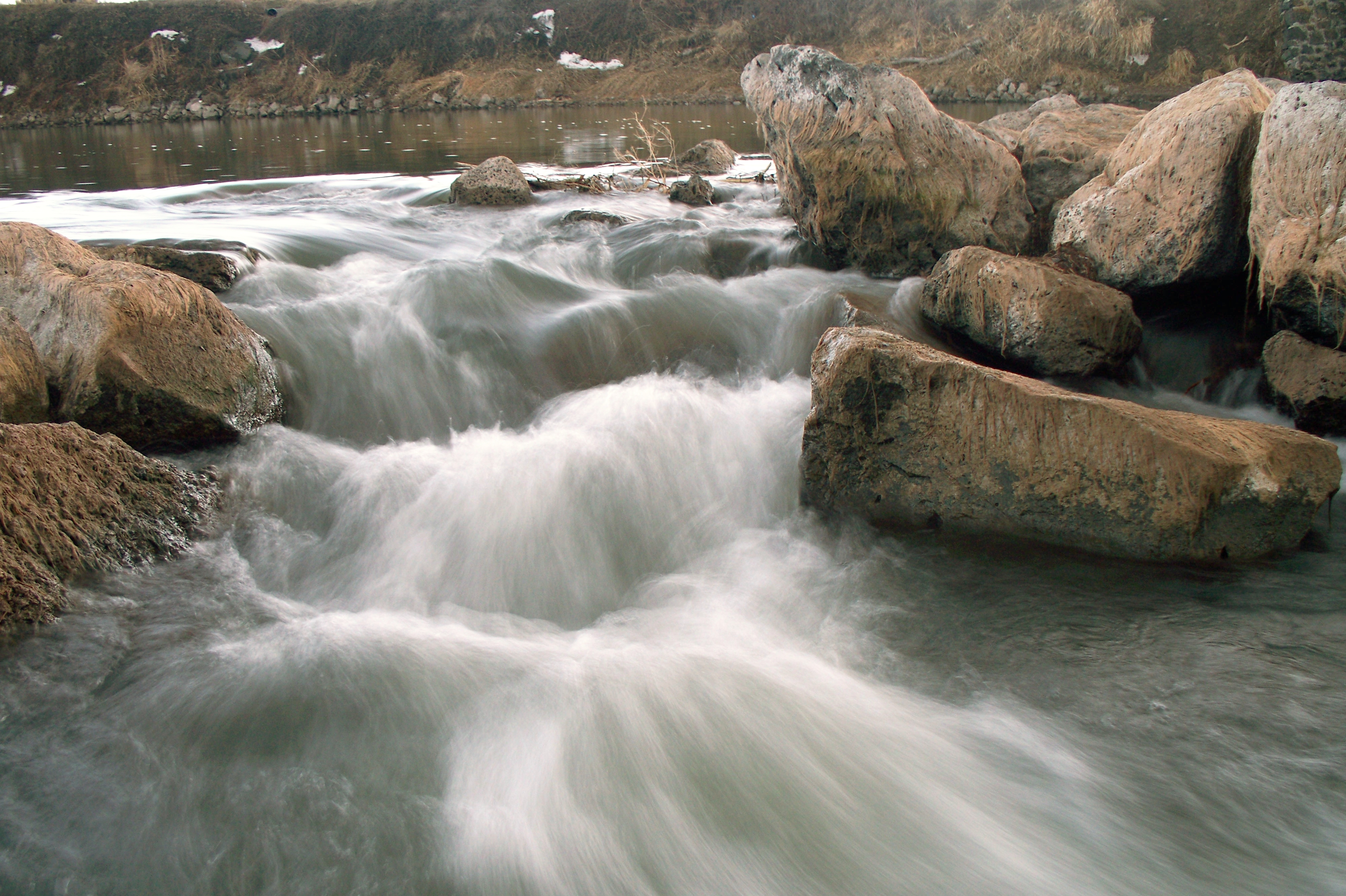
Shelley snake river rocks 1

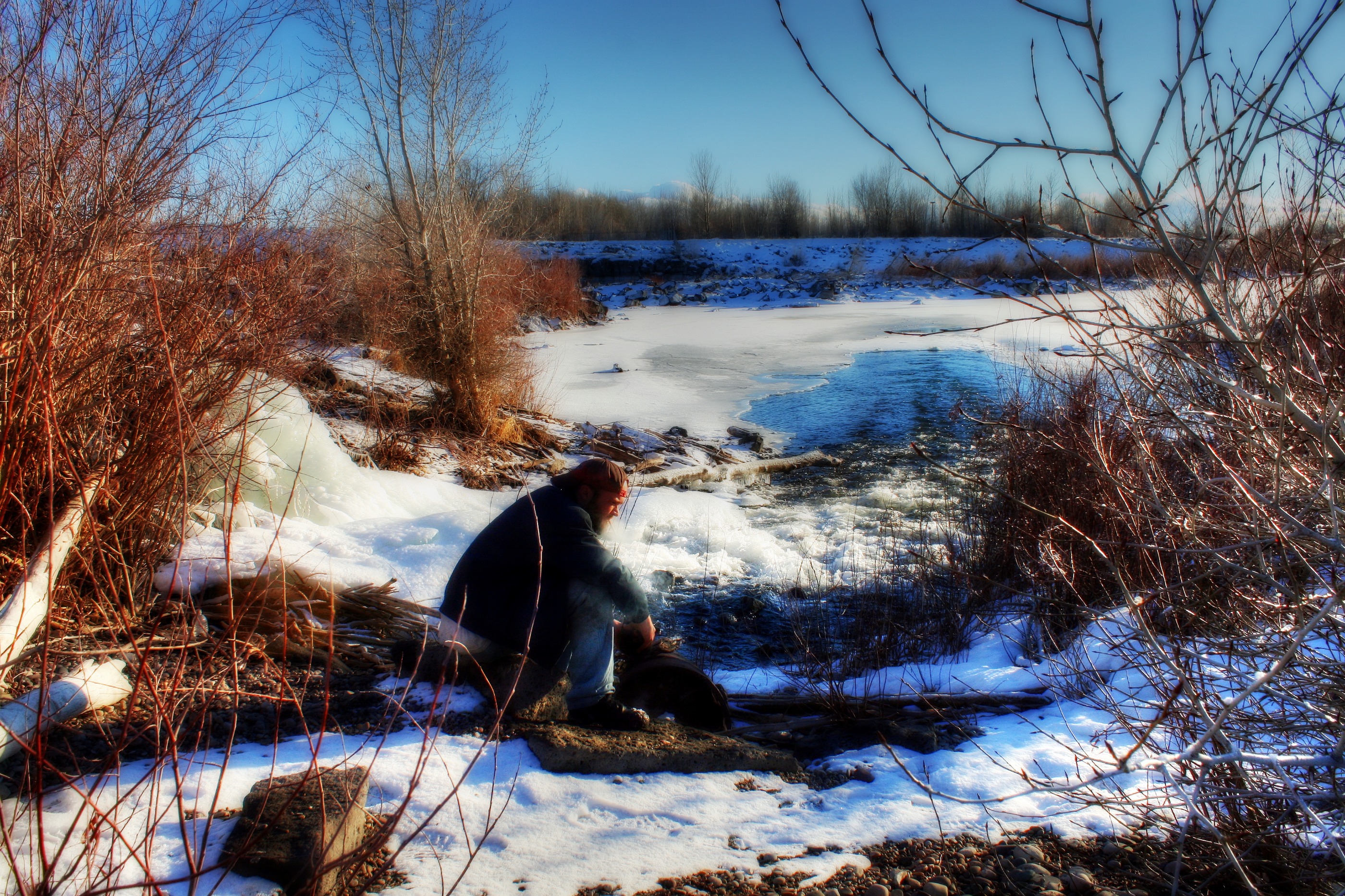
Watching You...
Day 286 of 365-Pt.2: The past is never dead
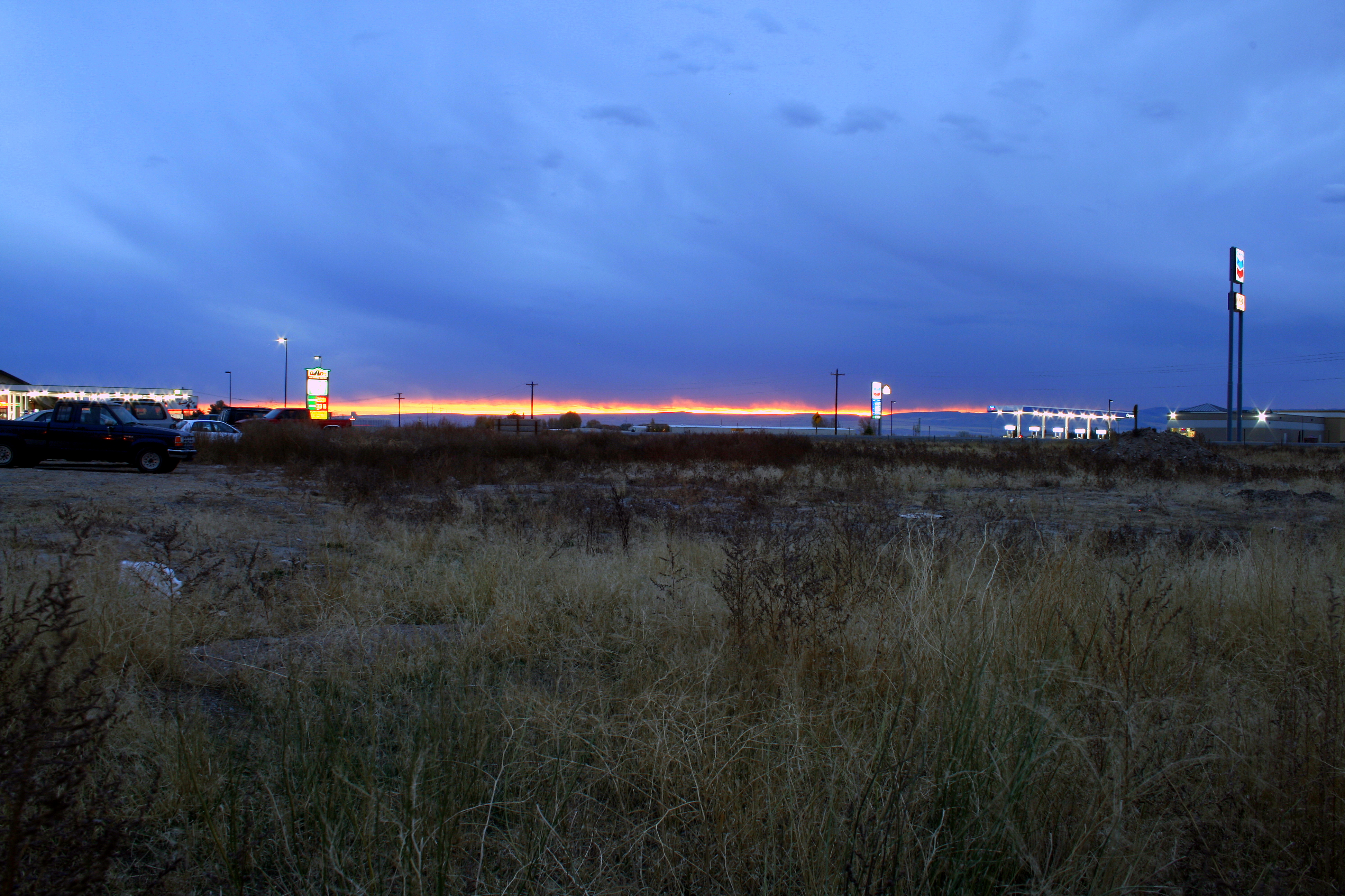
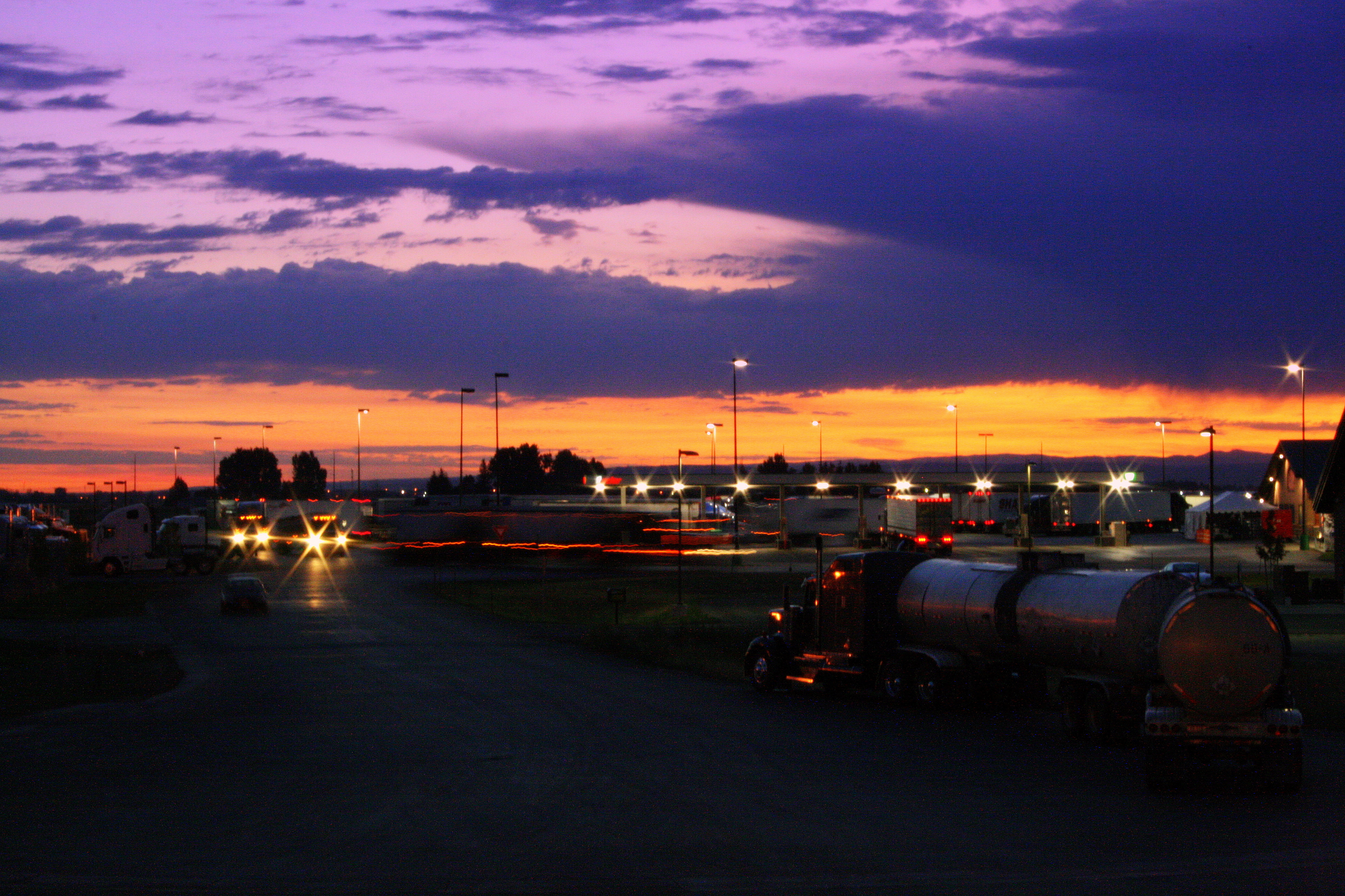
Fire in the sky

Day 107 of 365-Pt.2: Where the west was all but won

Fire in the sky
The bench is on fire

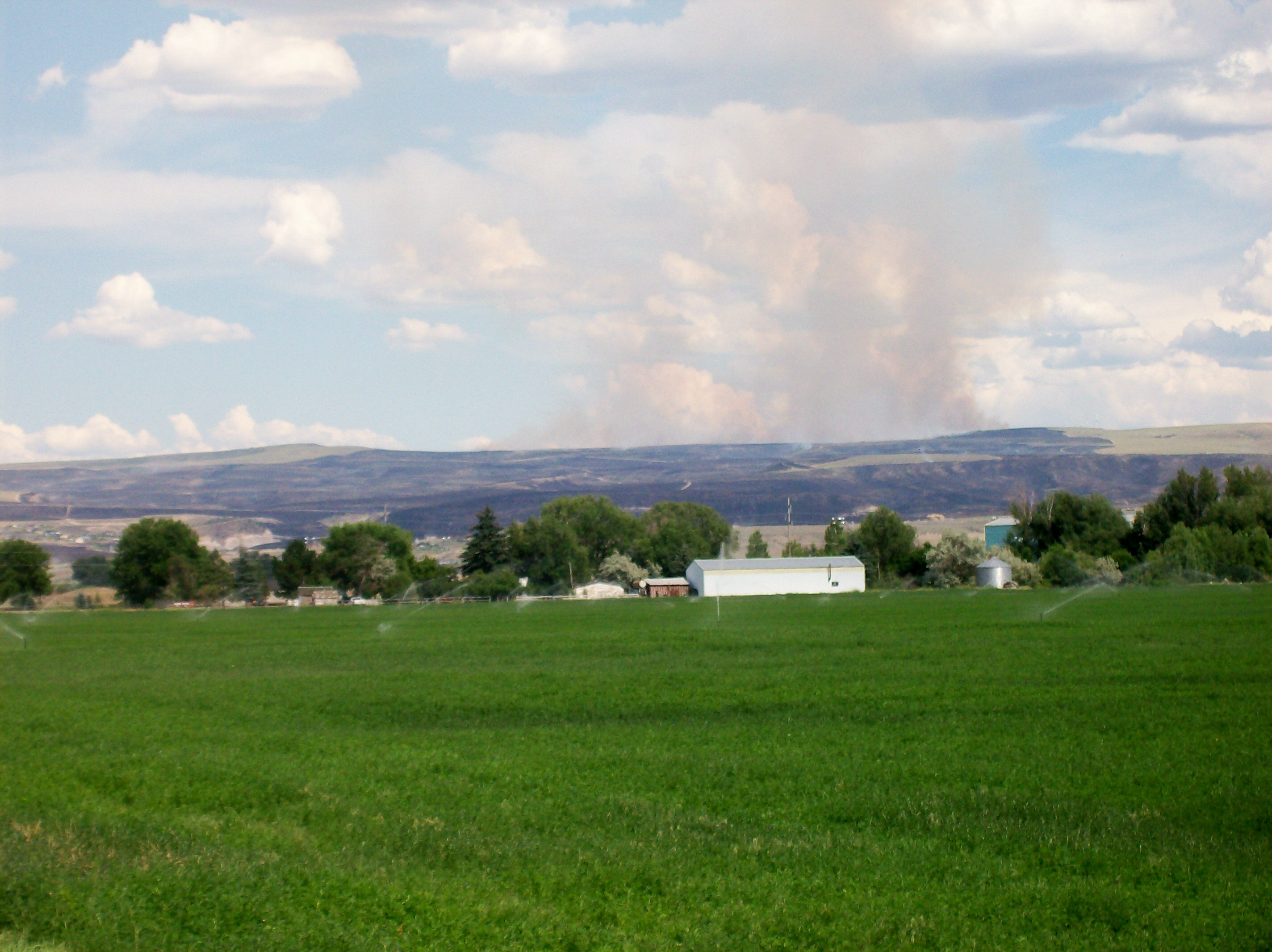
Our Land
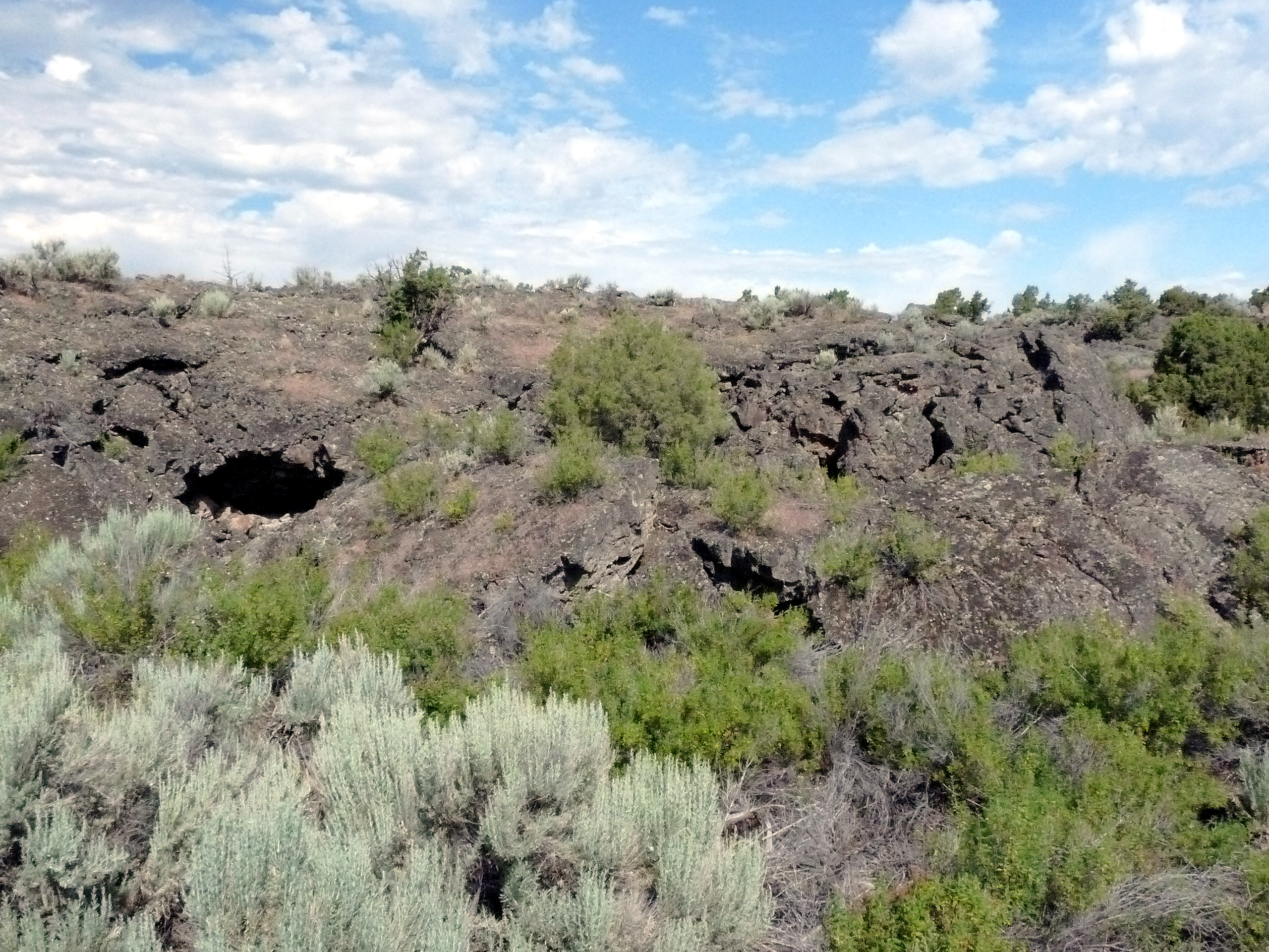
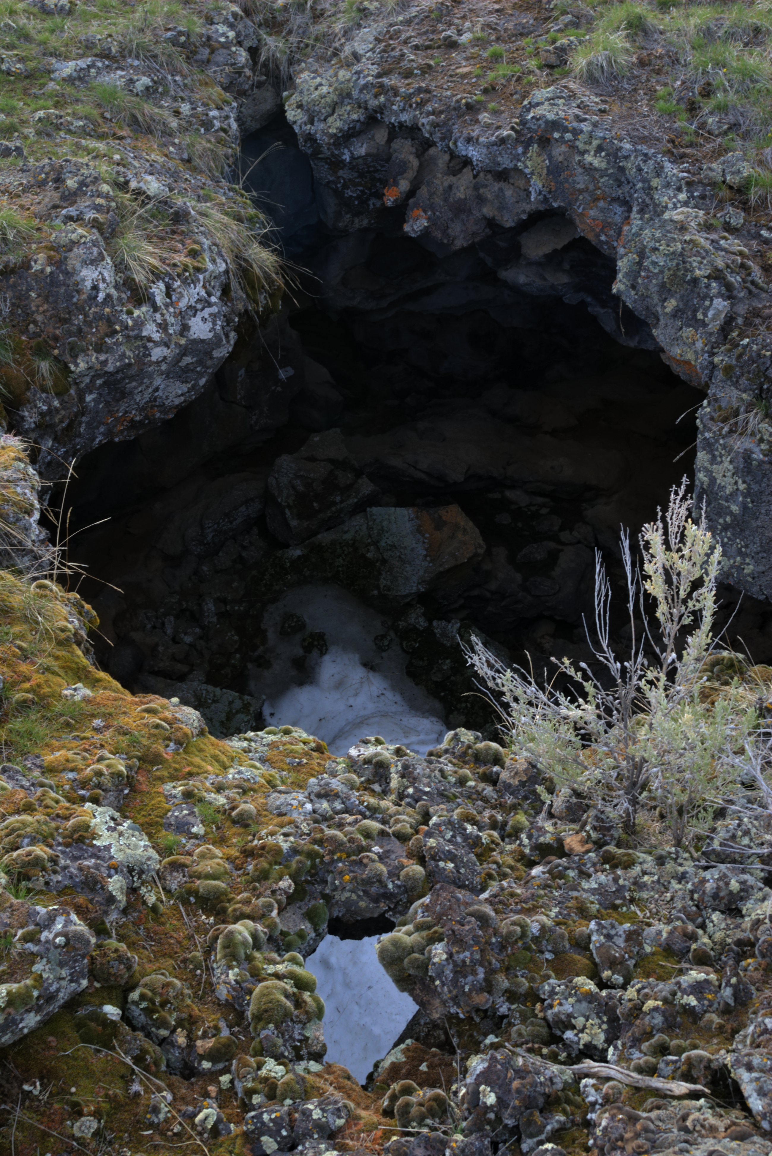
488 Idaho, Hells Half Acre Services, Lava Cave In Cliff

479 Idaho, Hells Half Acre Services, Lava Cave
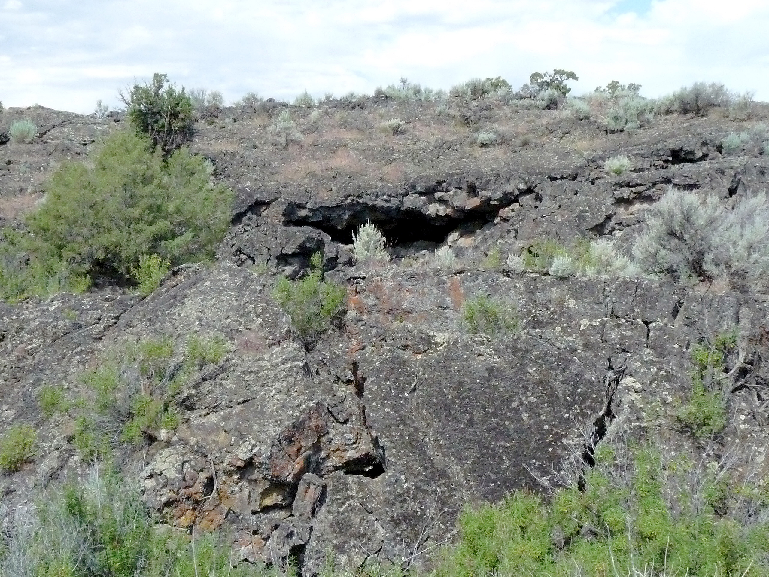
487 Idaho, Hells Half Acre Services, Unstable Lava Cliff

12-10-13--016
Le Bridge - hha
The day has only just begun
Topographic Map of Firth, ID, USA
Find elevation by address:

Places in Firth, ID, USA:
Places near Firth, ID, USA:
Firth Rd, Firth, ID, USA
637 N 550 E
N E, Firth, ID, USA
587 E 1250 N
North Bingham County Library
E N, Blackfoot, ID, USA
240 E Fir St
Shelley
Cedar St, Shelley, ID, USA
E N, Shelley, ID, USA
Woodville Rd, Shelley, ID, USA
N W, Blackfoot, ID, USA
W N, Blackfoot, ID, USA
1198 N 1325 E
W S, Idaho Falls, ID, USA
330 Mcdougal St
N W, Blackfoot, ID, USA
Blackfoot
1995 S Bellin Rd
Bingham County
Recent Searches:
- Elevation of Congressional Dr, Stevensville, MD, USA
- Elevation of Bellview Rd, McLean, VA, USA
- Elevation of Stage Island Rd, Chatham, MA, USA
- Elevation of Shibuya Scramble Crossing, 21 Udagawacho, Shibuya City, Tokyo -, Japan
- Elevation of Jadagoniai, Kaunas District Municipality, Lithuania
- Elevation of Pagonija rock, Kranto 7-oji g. 8"N, Kaunas, Lithuania
- Elevation of Co Rd 87, Jamestown, CO, USA
- Elevation of Tenjo, Cundinamarca, Colombia
- Elevation of Côte-des-Neiges, Montreal, QC H4A 3J6, Canada
- Elevation of Bobcat Dr, Helena, MT, USA