Elevation of Cedar St, Shelley, ID, USA
Location: United States > Idaho >
Longitude: -112.08279
Latitude: 43.3094922
Elevation: 1412m / 4633feet
Barometric Pressure: 85KPa
Elevation Map:
Satellite Map:
Related Photos:

Day 284 of 365: Ethics
Understanding Subdues Uncertainty, Faith Conquers Doubt
Spring Will Come

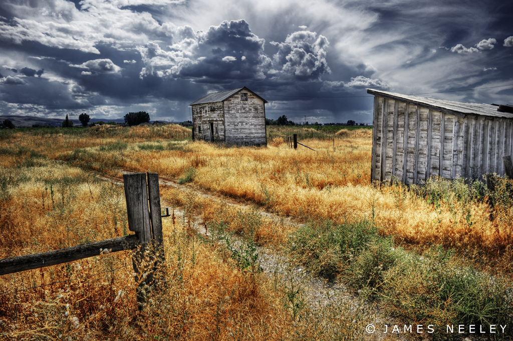
Different View Indeed
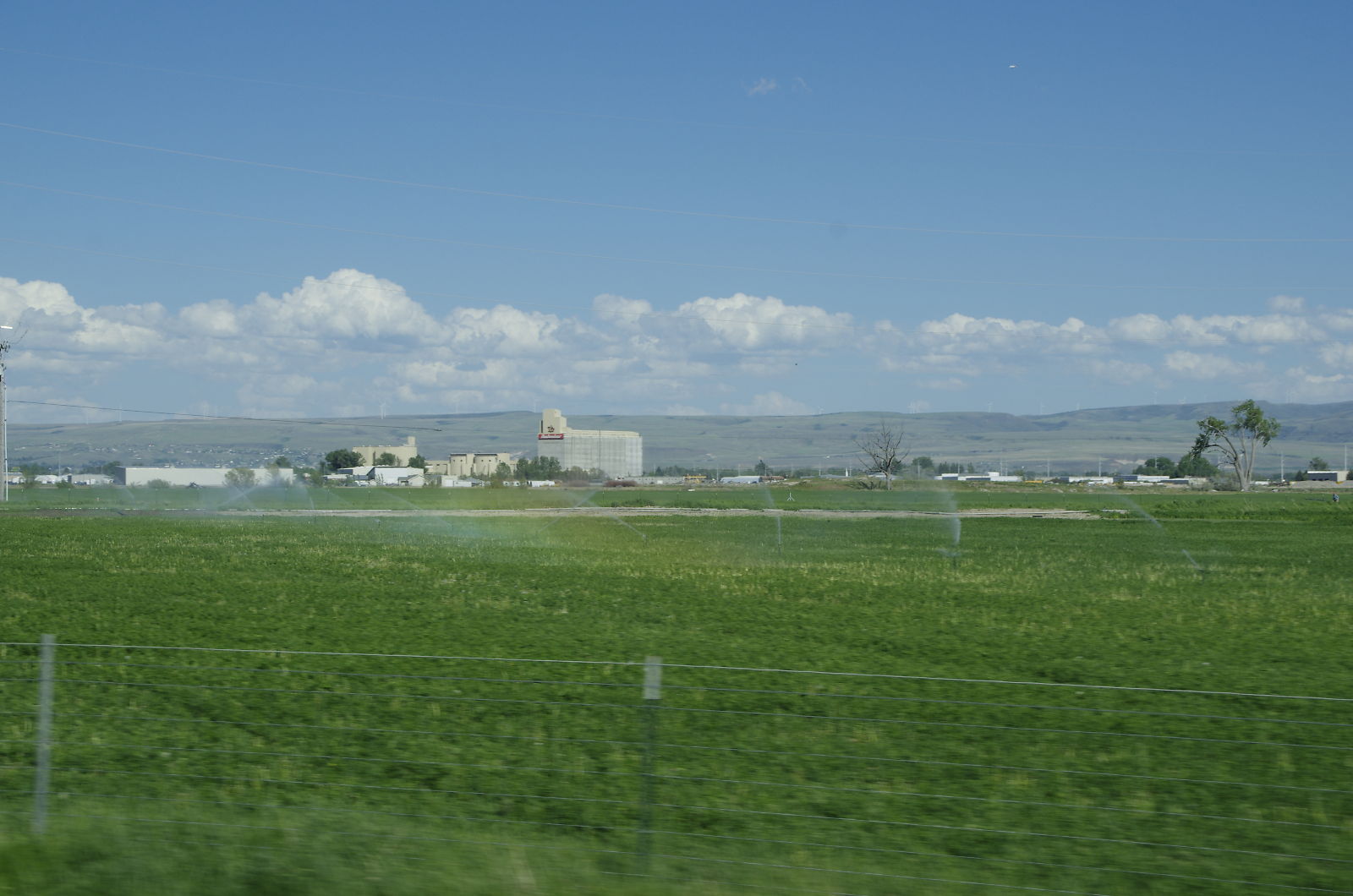
My view from work this afternoon
View from the top
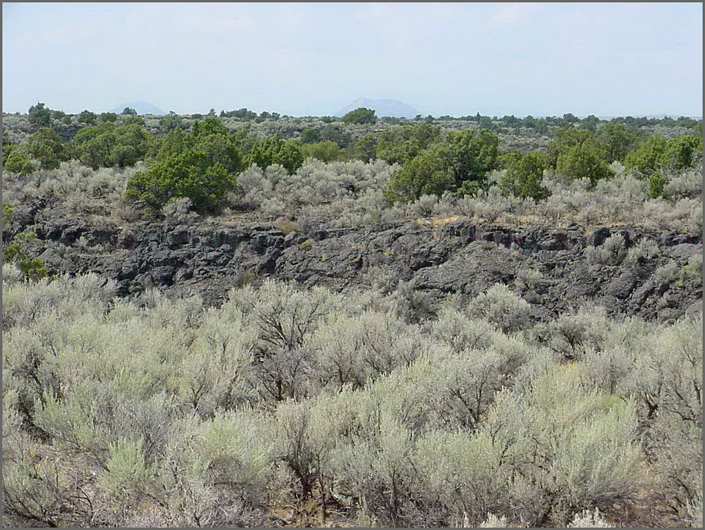
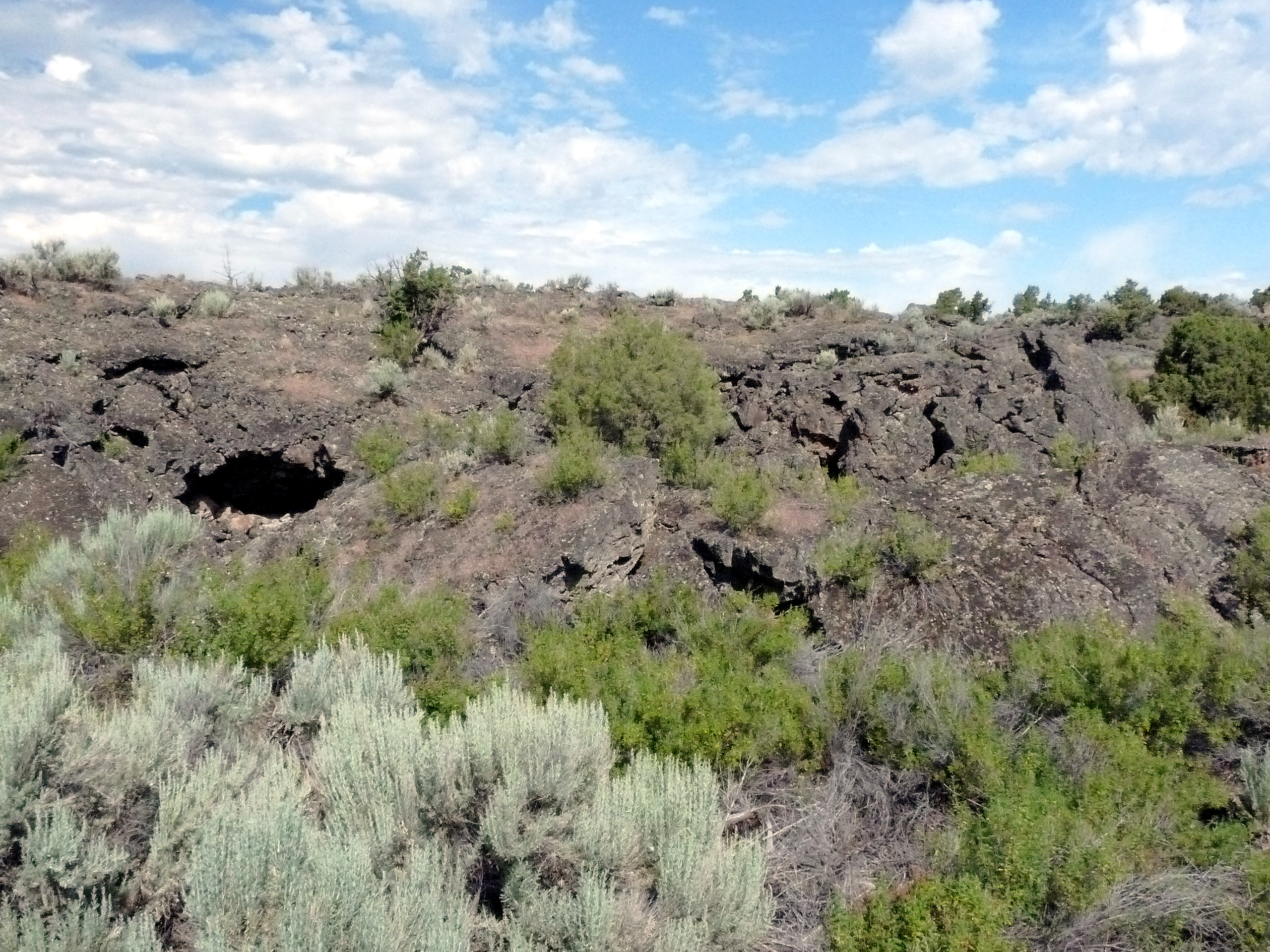
Hells Half Acre; view of lava field
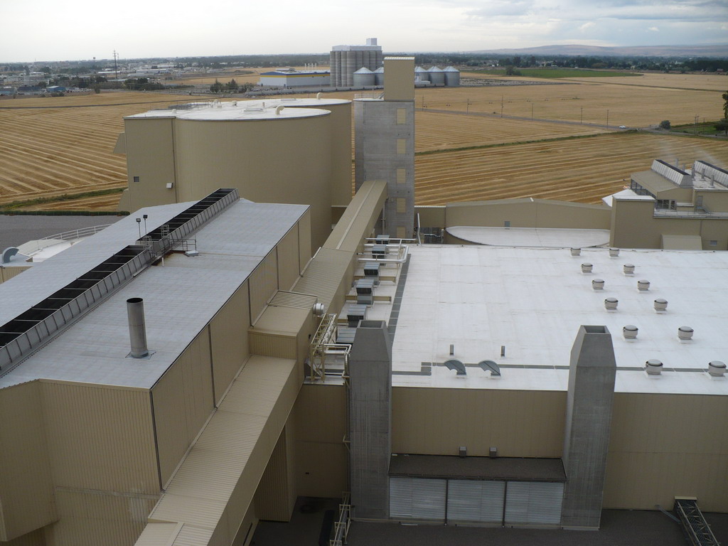
View of Malthouse 2
Day 286 of 365-Pt.2: The past is never dead
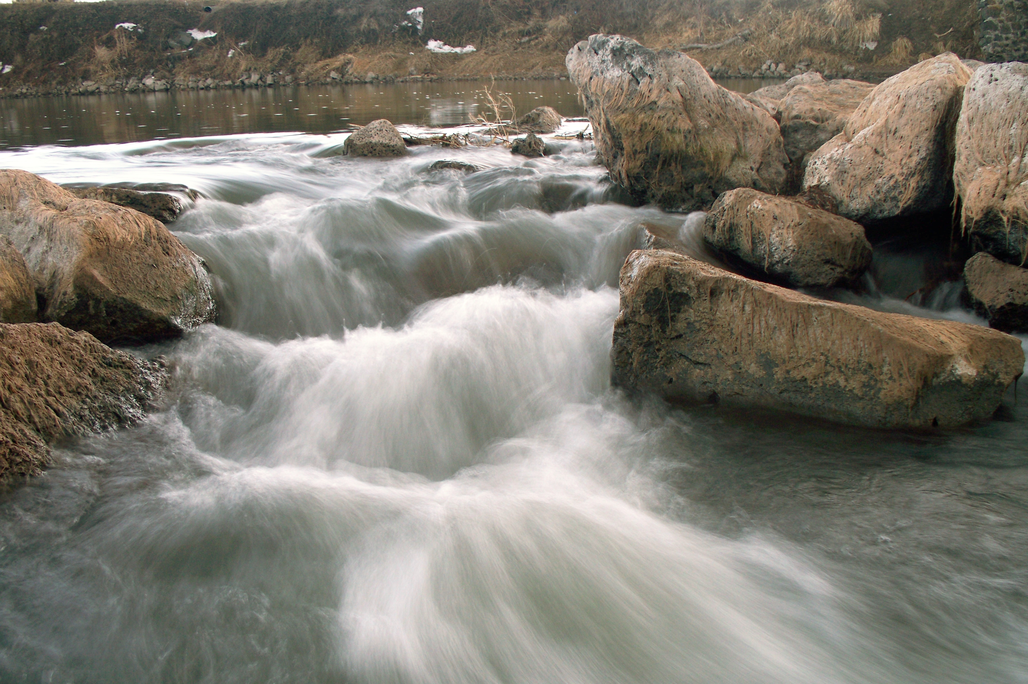
Shelley snake river rocks 1

Watching You...
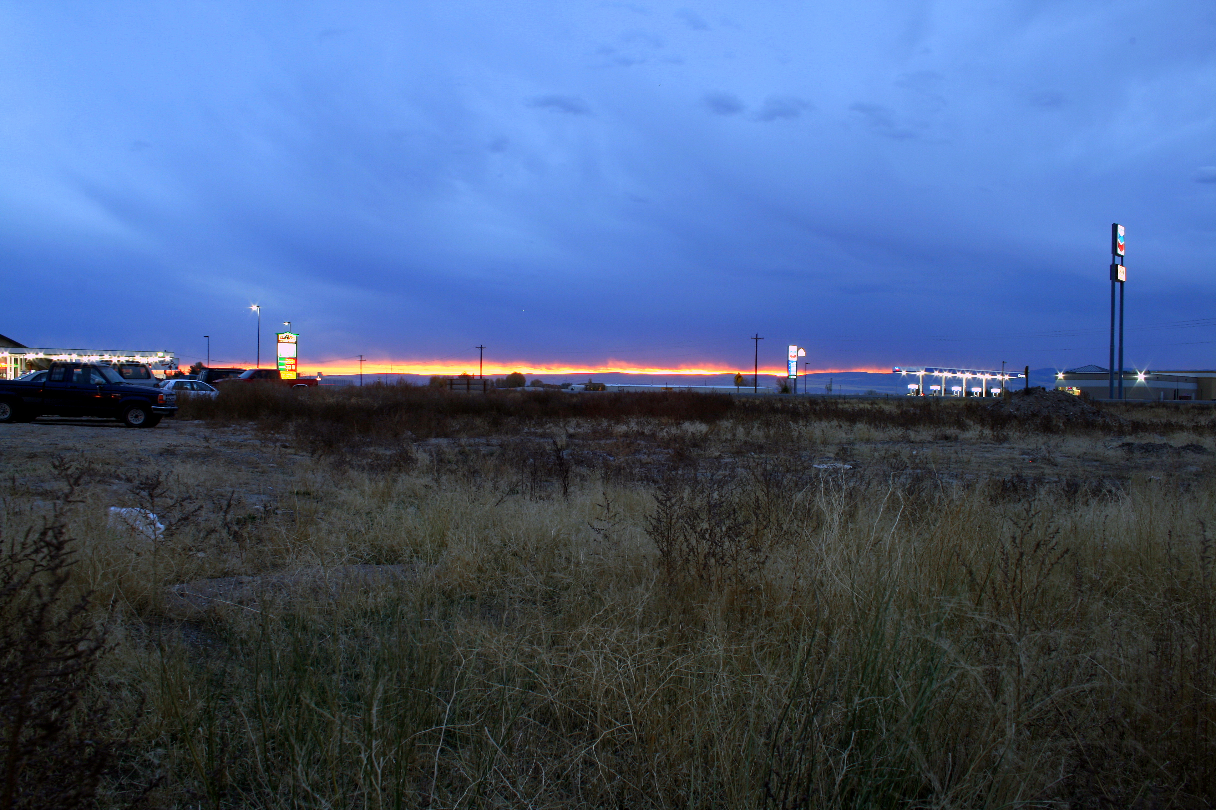
Fire in the sky

Day 107 of 365-Pt.2: Where the west was all but won

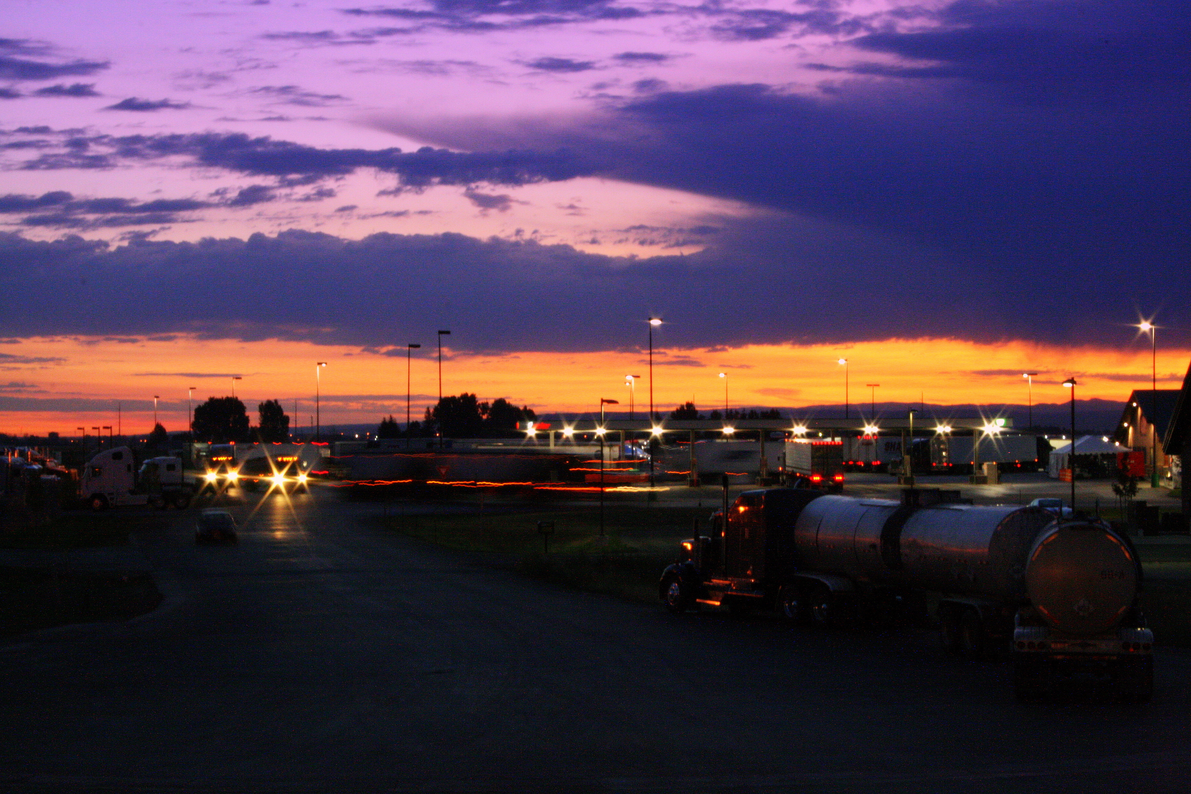
Fire in the sky
The day has only just begun
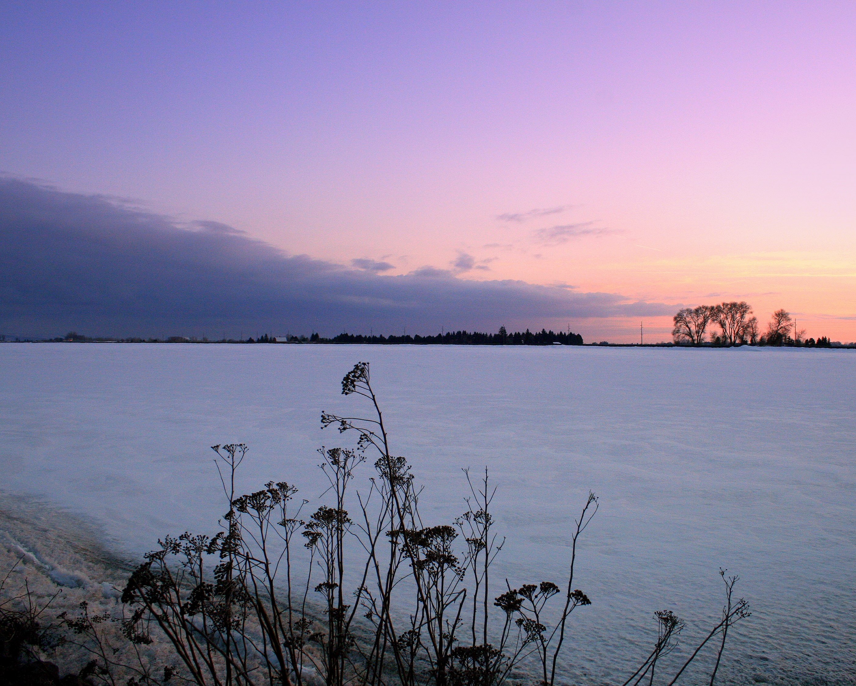
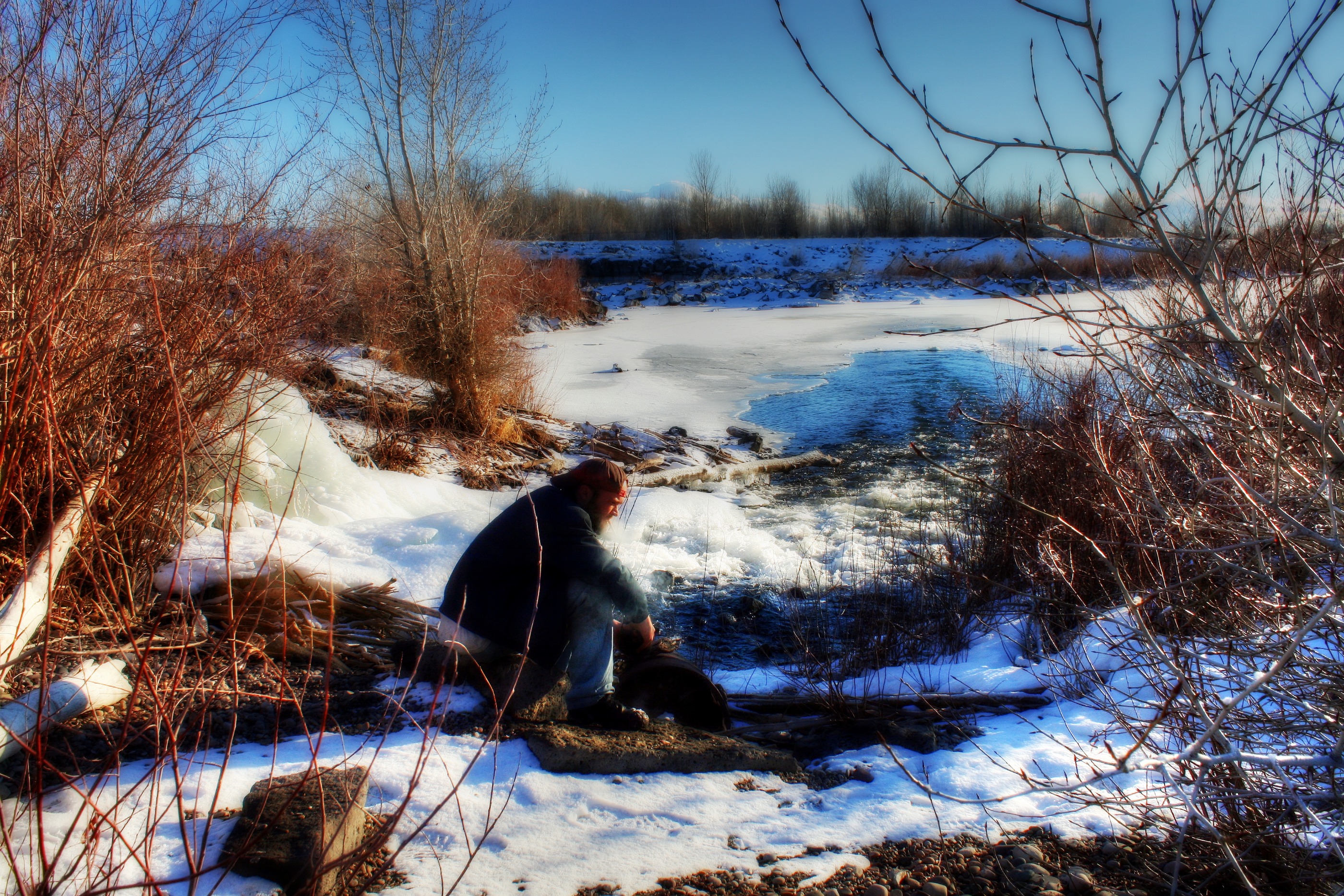
Frozen lake
The bench is on fire

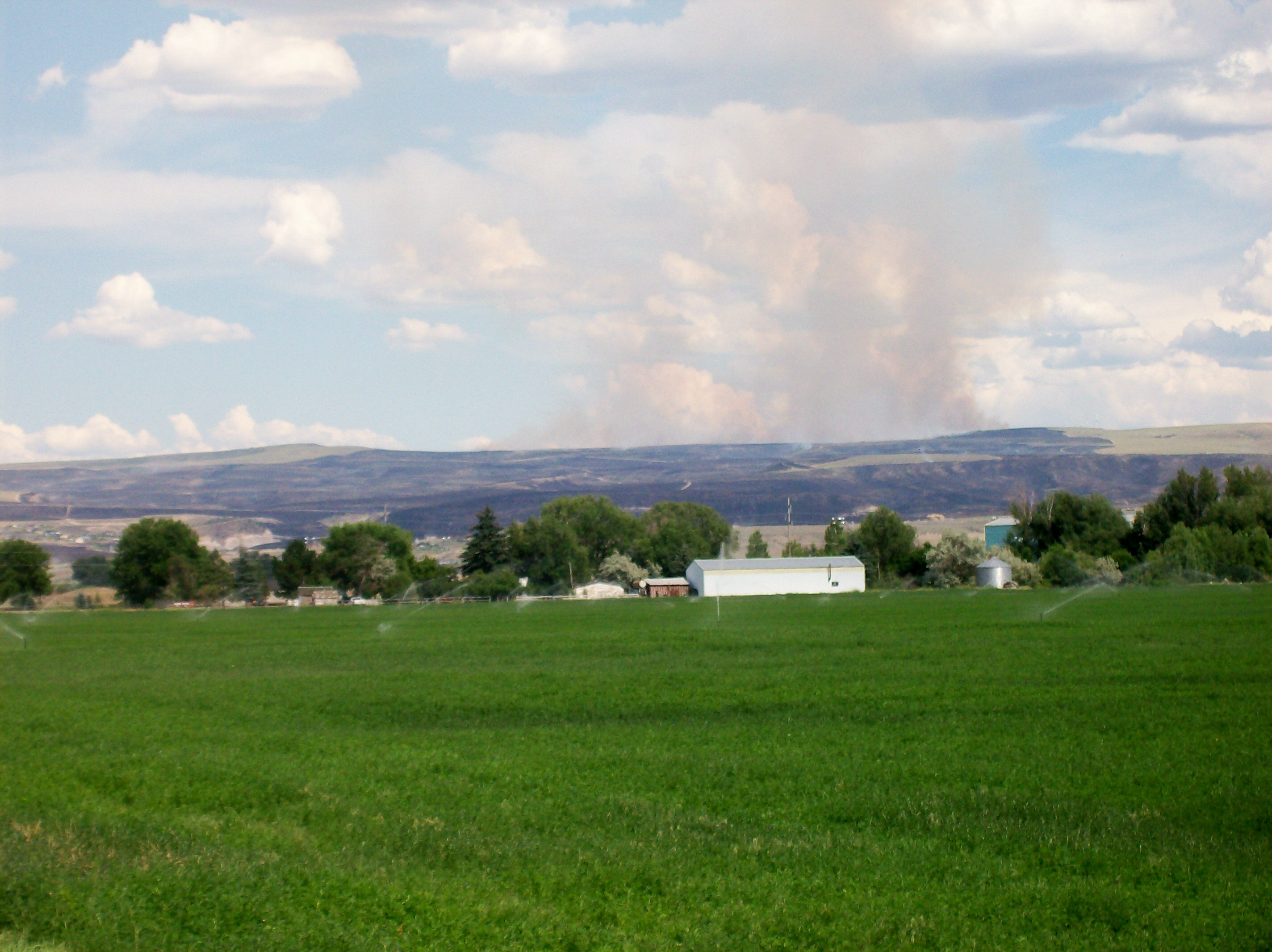
Our Land
488 Idaho, Hells Half Acre Services, Lava Cave In Cliff

12-10-13--016

479 Idaho, Hells Half Acre Services, Lava Cave
_K5P7200.JPG
Topographic Map of Cedar St, Shelley, ID, USA
Find elevation by address:

Places near Cedar St, Shelley, ID, USA:
240 E Fir St
1198 N 1325 E
North Bingham County Library
Shelley
W S, Idaho Falls, ID, USA
E N, Shelley, ID, USA
Firth Rd, Firth, ID, USA
Firth
587 E 1250 N
637 N 550 E
Woodville Rd, Shelley, ID, USA
N E, Firth, ID, USA
Sandy Downs Arena
Stone Run Ln, Idaho Falls, ID, USA
1800 E 49th S #7654
1995 S Bellin Rd
E N, Blackfoot, ID, USA
1505 Ponderosa Dr
Idaho Falls
5237 Treyden Dr
Recent Searches:
- Elevation of Corso Fratelli Cairoli, 35, Macerata MC, Italy
- Elevation of Tallevast Rd, Sarasota, FL, USA
- Elevation of 4th St E, Sonoma, CA, USA
- Elevation of Black Hollow Rd, Pennsdale, PA, USA
- Elevation of Oakland Ave, Williamsport, PA, USA
- Elevation of Pedrógão Grande, Portugal
- Elevation of Klee Dr, Martinsburg, WV, USA
- Elevation of Via Roma, Pieranica CR, Italy
- Elevation of Tavkvetili Mountain, Georgia
- Elevation of Hartfords Bluff Cir, Mt Pleasant, SC, USA