Elevation of Idaho Falls, ID, USA
Location: United States > Idaho > Bonneville County >
Longitude: -112.03396
Latitude: 43.4916514
Elevation: 1440m / 4724feet
Barometric Pressure: 85KPa
Elevation Map:
Satellite Map:
Related Photos:
Arrival Time
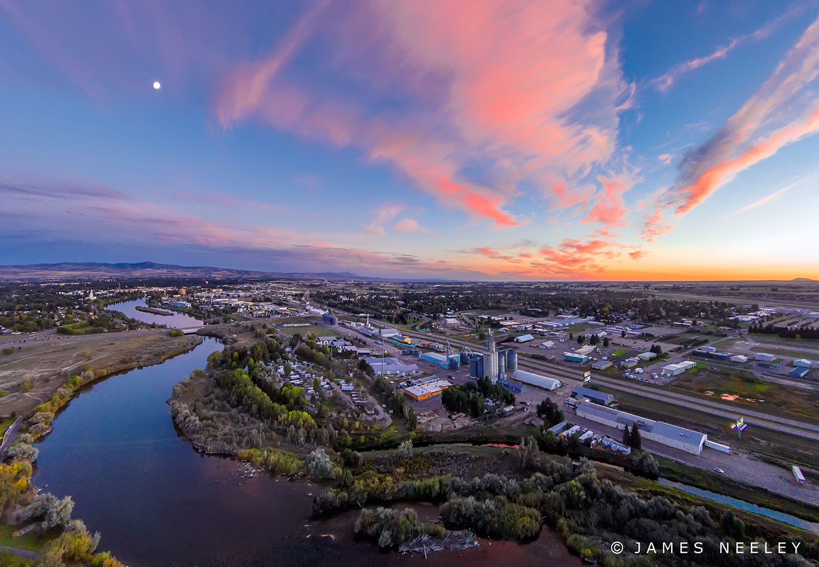
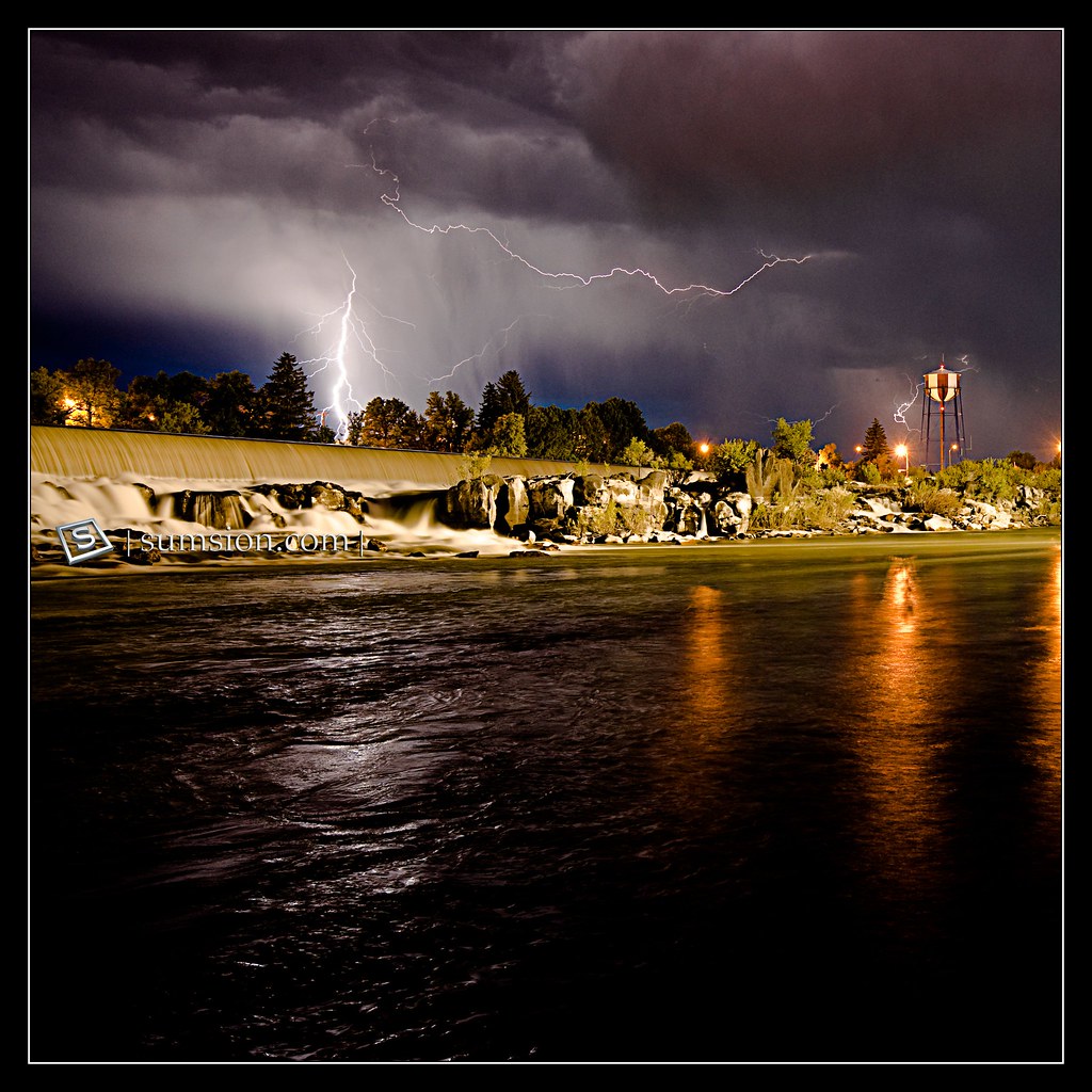
Aerial Panorma at Sunset

Understanding Subdues Uncertainty, Faith Conquers Doubt
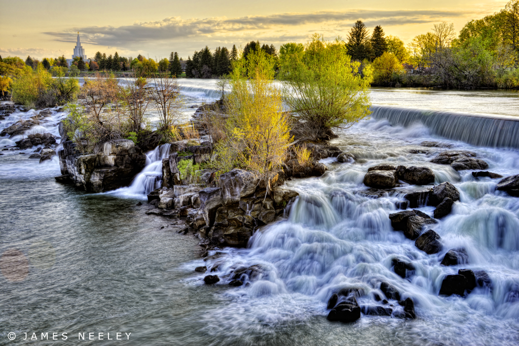
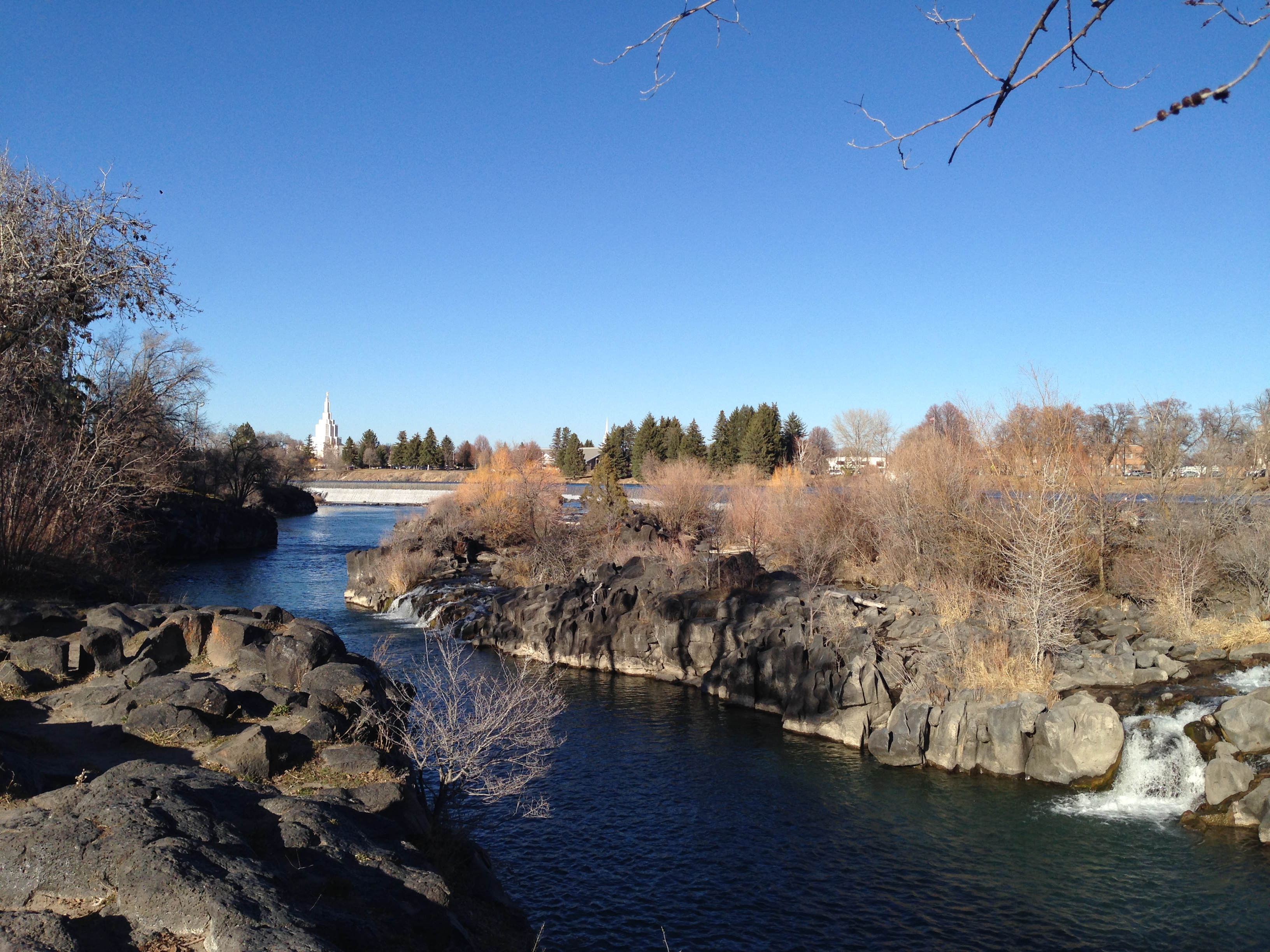
The Formation
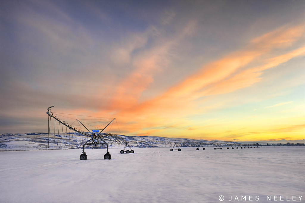
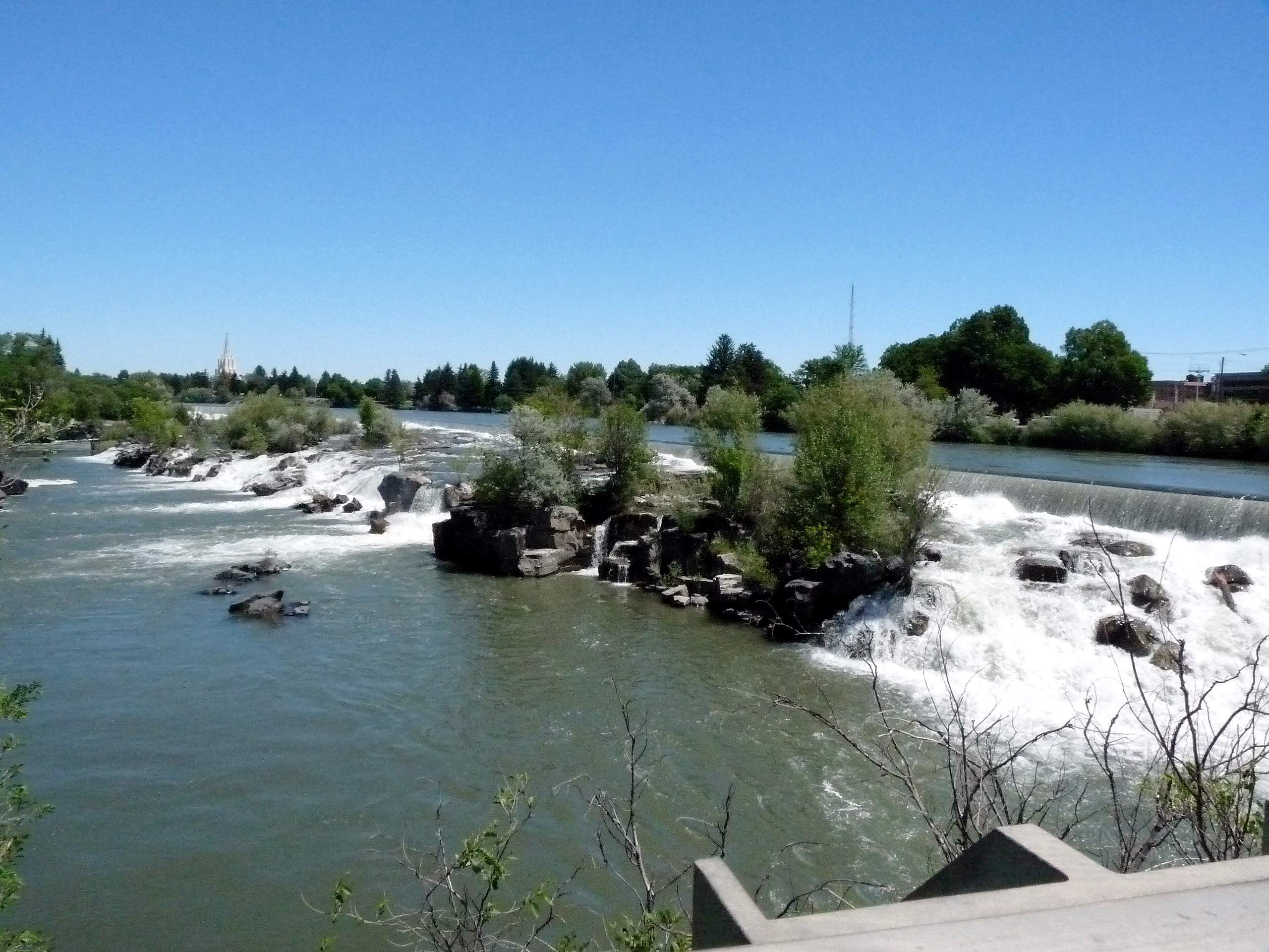
Spring Will Come
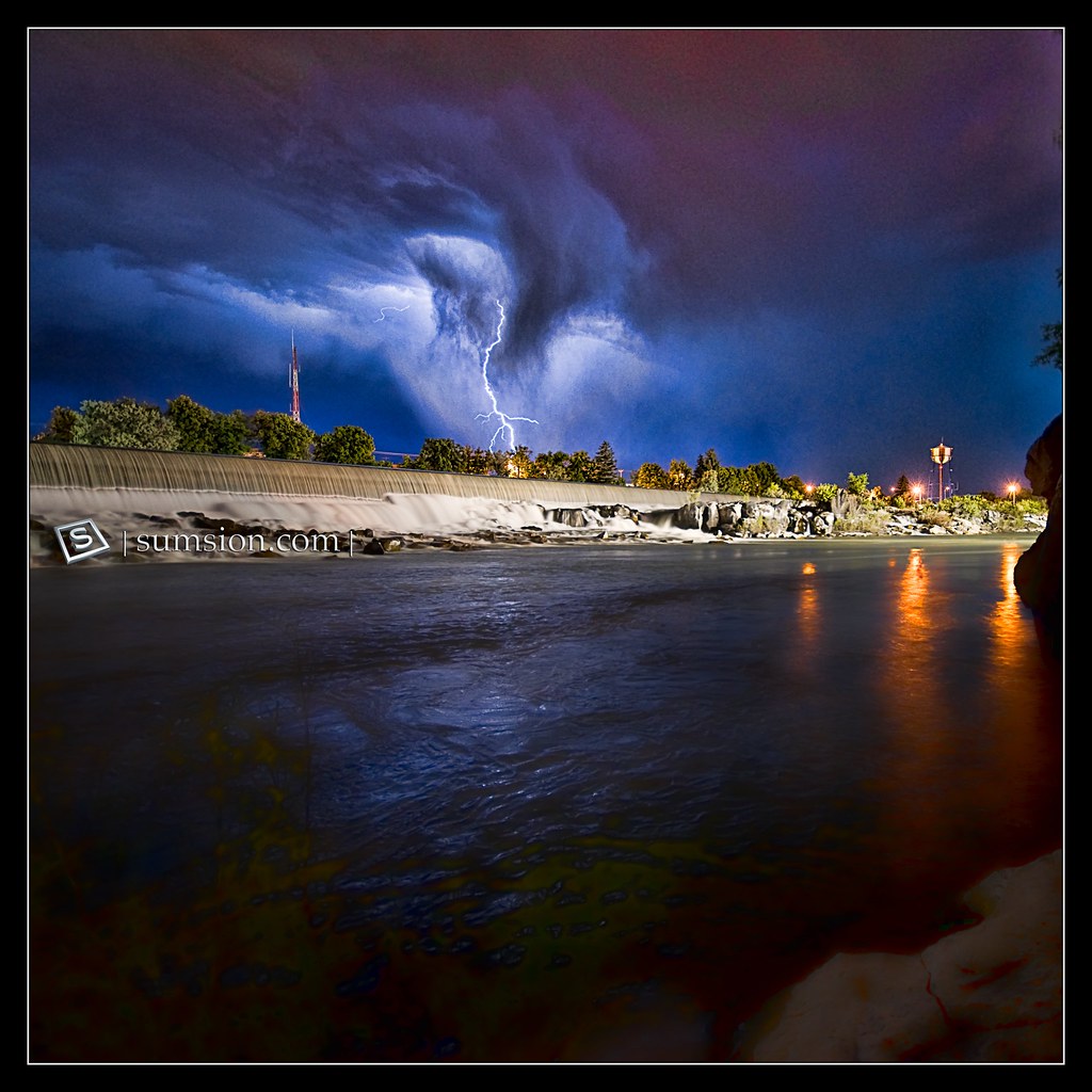
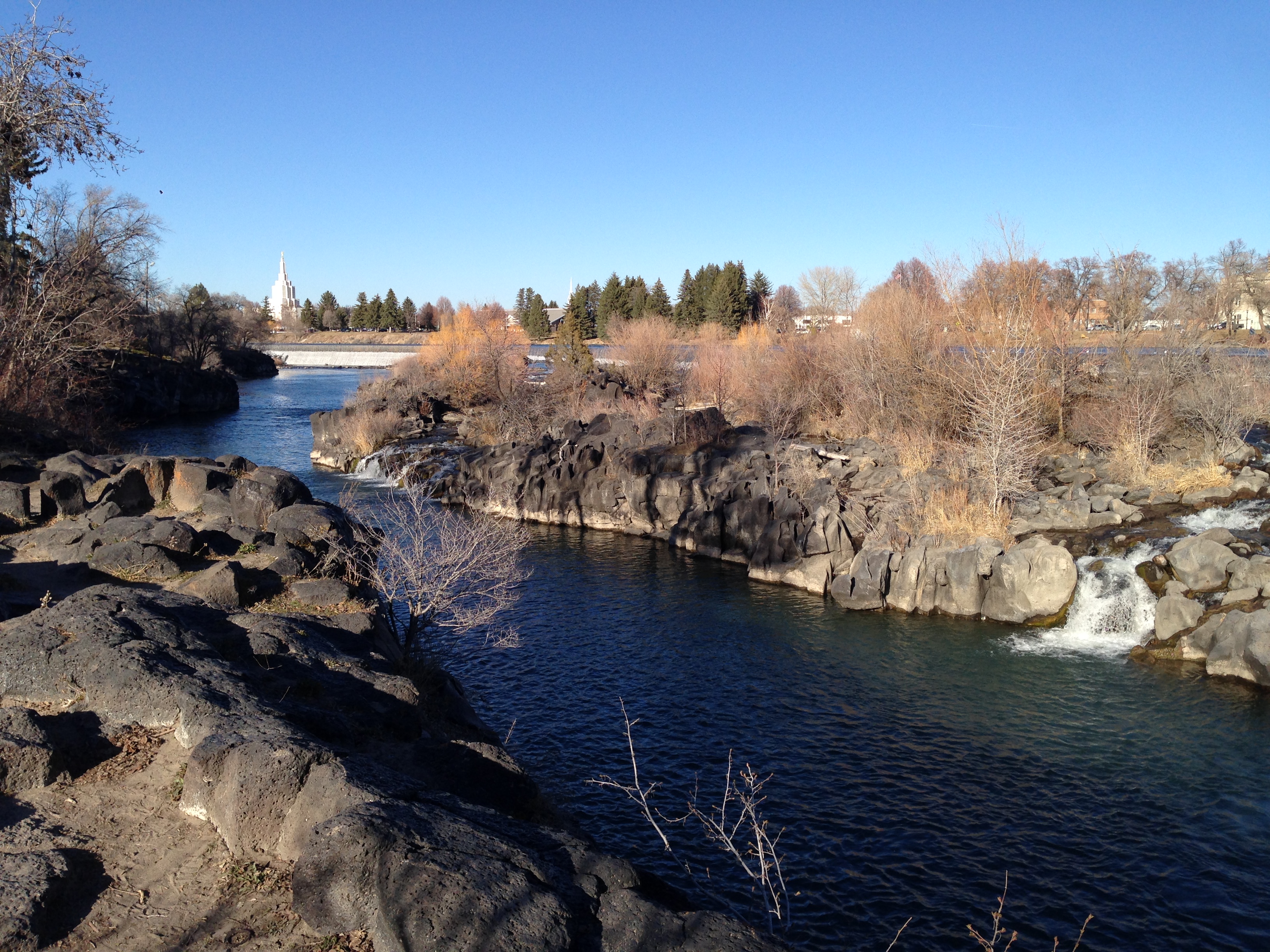
Who Says They Don't Mix?

Switching Gears
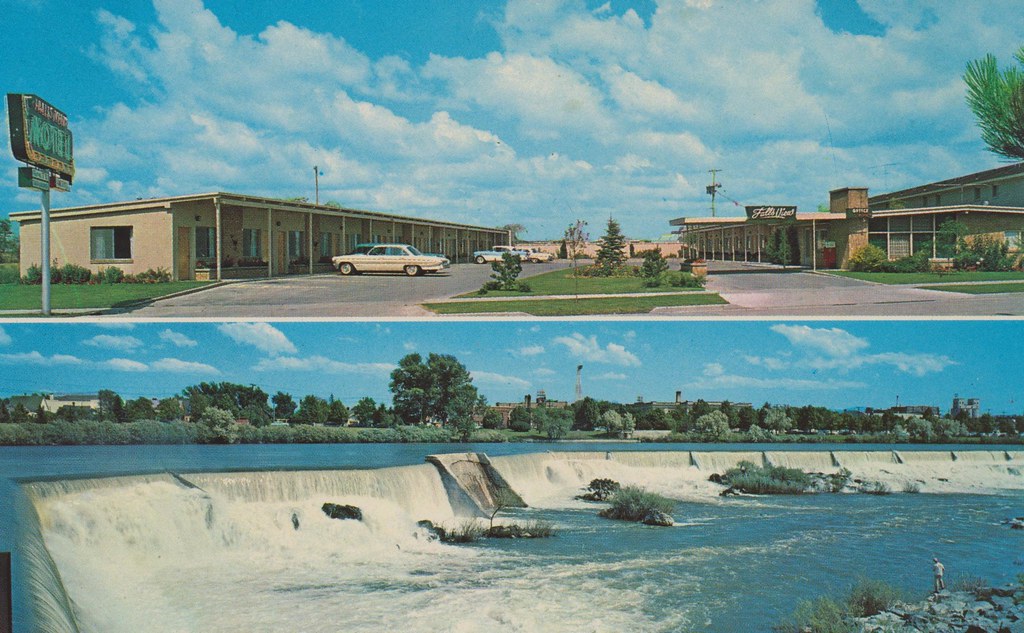
Falls View Motel - Idaho Falls, Idaho
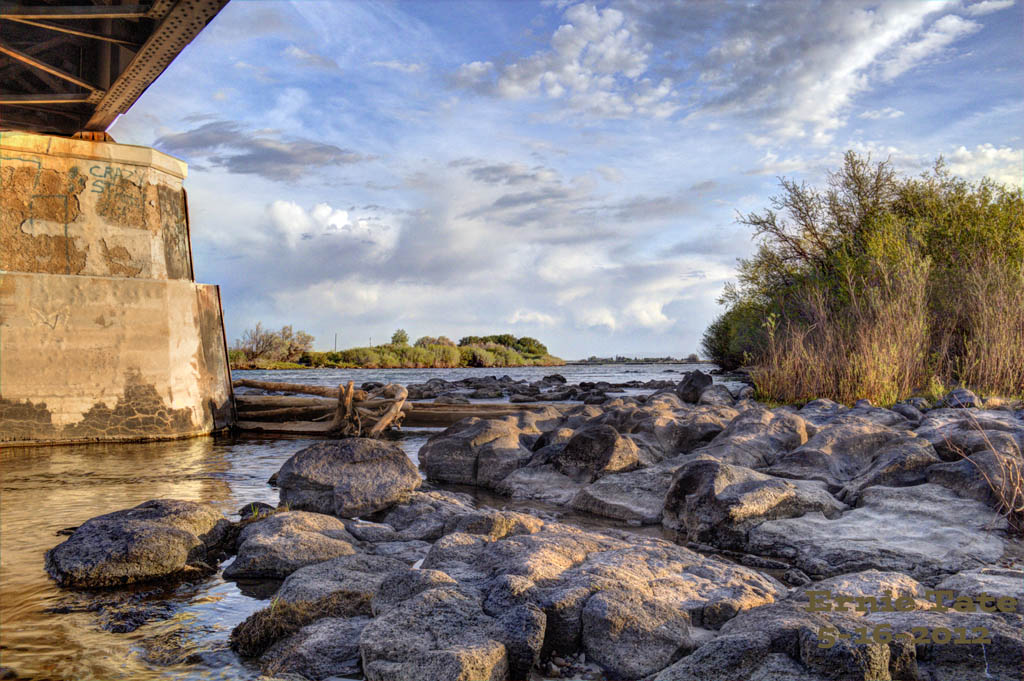
Snake River Railroad Bridge at University Place

Idaho sunset / view from our balcony #clouds #westwardspike

The river view
My view from work this afternoon
View from the Greenbelt
499 Idaho, Idaho Falls, Wider View of The Falls
Greenbelt Trail View in the City Centre
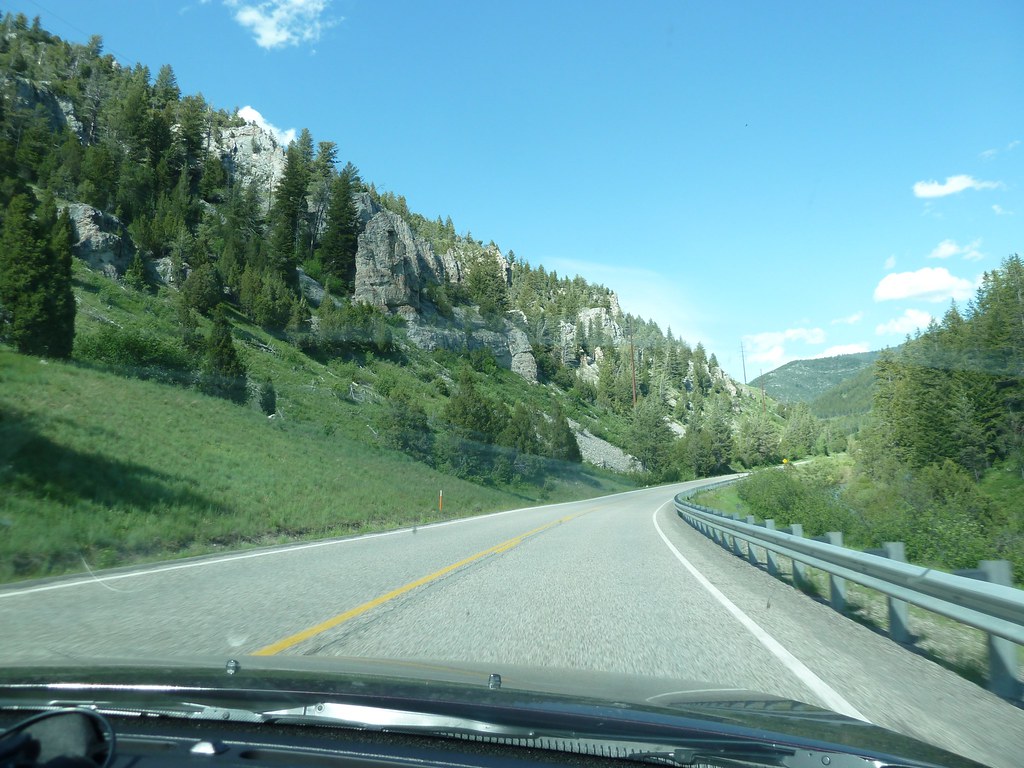
Road views: From Jackson, Wyoming to Idaho Falls, Idaho

View from the road: from Jackson, Wy to Idaho Springs, Idaho
Topographic Map of Idaho Falls, ID, USA
Find elevation by address:

Places in Idaho Falls, ID, USA:
Kohler Way, Idaho Falls, ID, USA
N 15th E, Idaho Falls, ID, USA
Stone Run Ln, Idaho Falls, ID, USA
E Ririe Hwy, Idaho Falls, ID, USA
W S, Idaho Falls, ID, USA
N Ammon Rd, Idaho Falls, ID, USA
N 35th W, Idaho Falls, ID, USA
N River Rd, Idaho Falls, ID, USA
N Yellowstone Hwy, Idaho Falls, ID, USA
Yellowpine Drive
Places near Idaho Falls, ID, USA:
Idaho Falls School District #91
900 John Adams Pkwy
1505 Ponderosa Dr
1120 Cathryn Ave
Stone Run Ln, Idaho Falls, ID, USA
2351 N Blvd
930 E Lincoln Rd
Idaho National Laboratory
1367 Homer Ave
695 Ruth Ave
Kohler Way, Idaho Falls, ID, USA
1995 S Bellin Rd
1800 E 49th S #7654
5740 Gleneagles Dr
Sandy Downs Arena
2740 Central Ave
3456 E 17th St
Ammon
N Ammon Rd, Idaho Falls, ID, USA
Yellowpine Drive
Recent Searches:
- Elevation of Corso Fratelli Cairoli, 35, Macerata MC, Italy
- Elevation of Tallevast Rd, Sarasota, FL, USA
- Elevation of 4th St E, Sonoma, CA, USA
- Elevation of Black Hollow Rd, Pennsdale, PA, USA
- Elevation of Oakland Ave, Williamsport, PA, USA
- Elevation of Pedrógão Grande, Portugal
- Elevation of Klee Dr, Martinsburg, WV, USA
- Elevation of Via Roma, Pieranica CR, Italy
- Elevation of Tavkvetili Mountain, Georgia
- Elevation of Hartfords Bluff Cir, Mt Pleasant, SC, USA