Elevation of N E, Firth, ID, USA
Location: United States > Idaho > Bingham County > Firth >
Longitude: -112.18780
Latitude: 43.2879594
Elevation: 1394m / 4573feet
Barometric Pressure: 86KPa
Elevation Map:
Satellite Map:
Related Photos:

Hells Half Acre; view of lava field

022 Frosty Lane Blackfoot, ID USA

013 Cemetary Blackfoot, ID

Farm field and mountains near Blackfoot, Idaho

The Portneuf Range (telephoto) in late May 2017

Shelley snake river rocks 1

Day 107 of 365-Pt.2: Where the west was all but won

Lava Rock

479 Idaho, Hells Half Acre Services, Lava Cave

488 Idaho, Hells Half Acre Services, Lava Cave In Cliff

487 Idaho, Hells Half Acre Services, Unstable Lava Cliff

Interpretive Trail

Collapse Feature
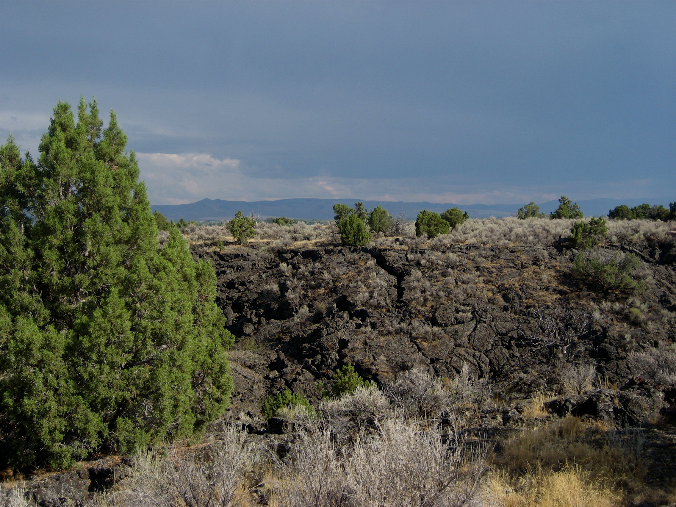
Distant Rain

Stuffed 38
Topographic Map of N E, Firth, ID, USA
Find elevation by address:

Places near N E, Firth, ID, USA:
Firth
Firth Rd, Firth, ID, USA
N E, Firth, ID, USA
E N, Blackfoot, ID, USA
587 E 1250 N
Cedar St, Shelley, ID, USA
240 E Fir St
North Bingham County Library
Shelley
E N, Shelley, ID, USA
Woodville Rd, Shelley, ID, USA
W N, Blackfoot, ID, USA
N W, Blackfoot, ID, USA
1198 N 1325 E
330 Mcdougal St
W S, Idaho Falls, ID, USA
Blackfoot
N W, Blackfoot, ID, USA
Bingham County
N W, Blackfoot, ID, USA
Recent Searches:
- Elevation of Jadagoniai, Kaunas District Municipality, Lithuania
- Elevation of Pagonija rock, Kranto 7-oji g. 8"N, Kaunas, Lithuania
- Elevation of Co Rd 87, Jamestown, CO, USA
- Elevation of Tenjo, Cundinamarca, Colombia
- Elevation of Côte-des-Neiges, Montreal, QC H4A 3J6, Canada
- Elevation of Bobcat Dr, Helena, MT, USA
- Elevation of Zu den Ihlowbergen, Althüttendorf, Germany
- Elevation of Badaber, Peshawar, Khyber Pakhtunkhwa, Pakistan
- Elevation of SE Heron Loop, Lincoln City, OR, USA
- Elevation of Slanický ostrov, 01 Námestovo, Slovakia