Elevation of District Ranger Office, NC-24, Troy, NC, USA
Location: United States > North Carolina > Montgomery County > Troy > Troy >
Longitude: -79.862536
Latitude: 35.3617507
Elevation: 164m / 538feet
Barometric Pressure: 99KPa
Elevation Map:
Satellite Map:
Related Photos:

View of Candor NC Station Roof

View of Candor NC Station

Barnes Creek from Jumping Off Rock

Video of Aberdeen, Carolina and Western RR
RAWR!

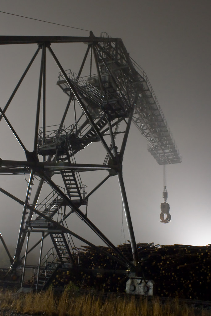
ACWR 6910

2009-10-08 09-11-19 - 0034
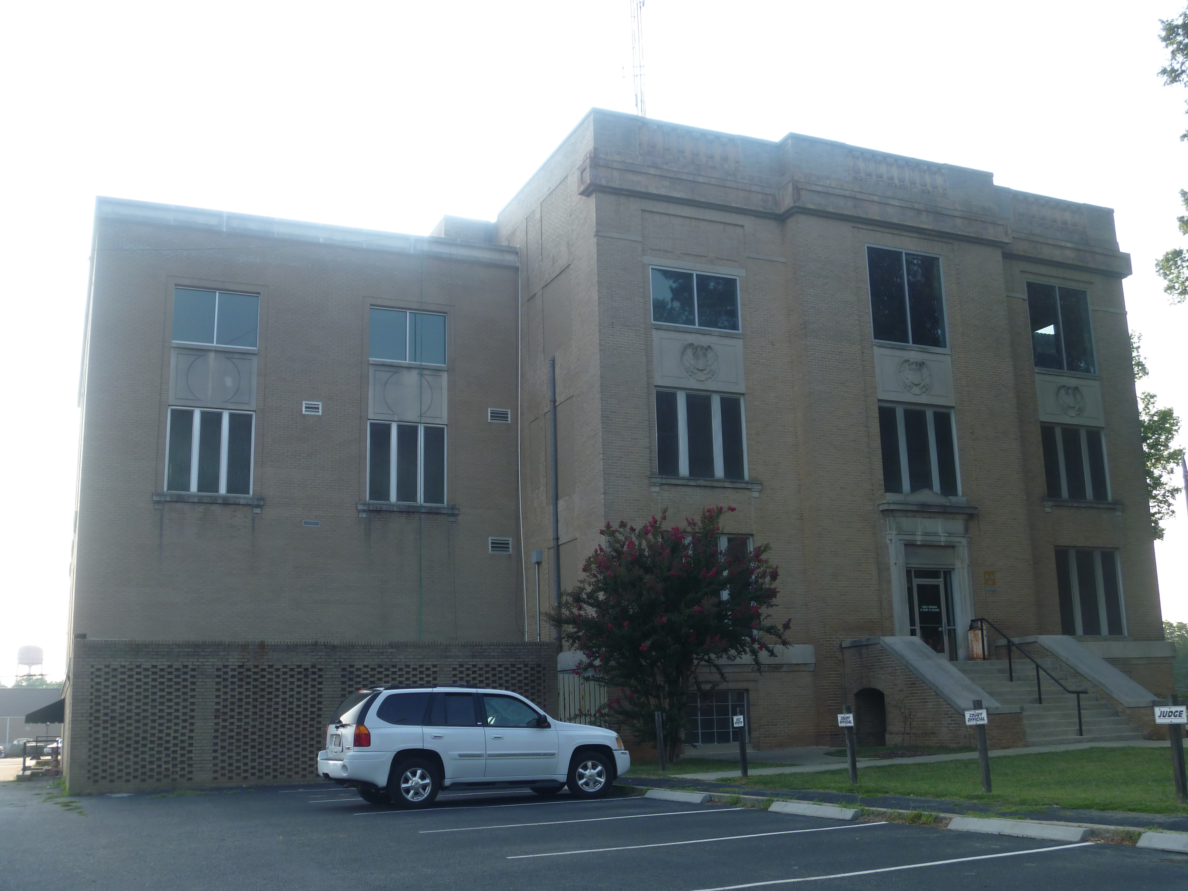
Side View Of Montgomery County Courthouse
Yates Place

20151031-DSC_9587

White squirrel

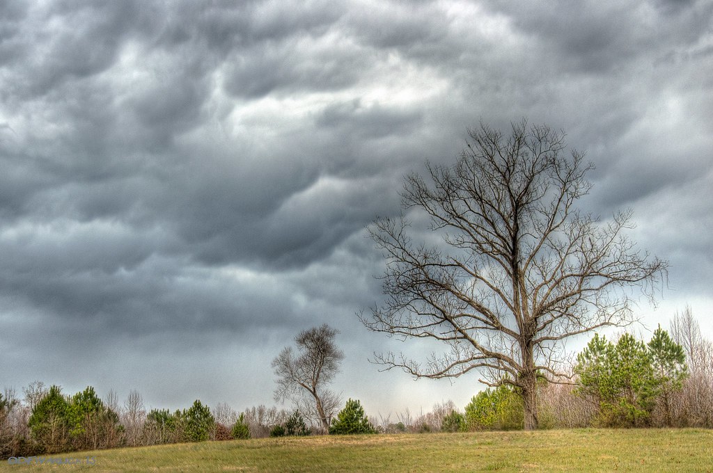
Rainy Day in Uwharrie
Trees in the Forest

Trees in the Forest

Trees in the Forest

Zen #zen #nikon #northcarolina #northcarolinaphotographer #badinlake #moment #landscape #waterscape #water

on Supertree trail

Sky on fire

north-carolina-2014-43

smitherman's mill

north-carolina-2014-42

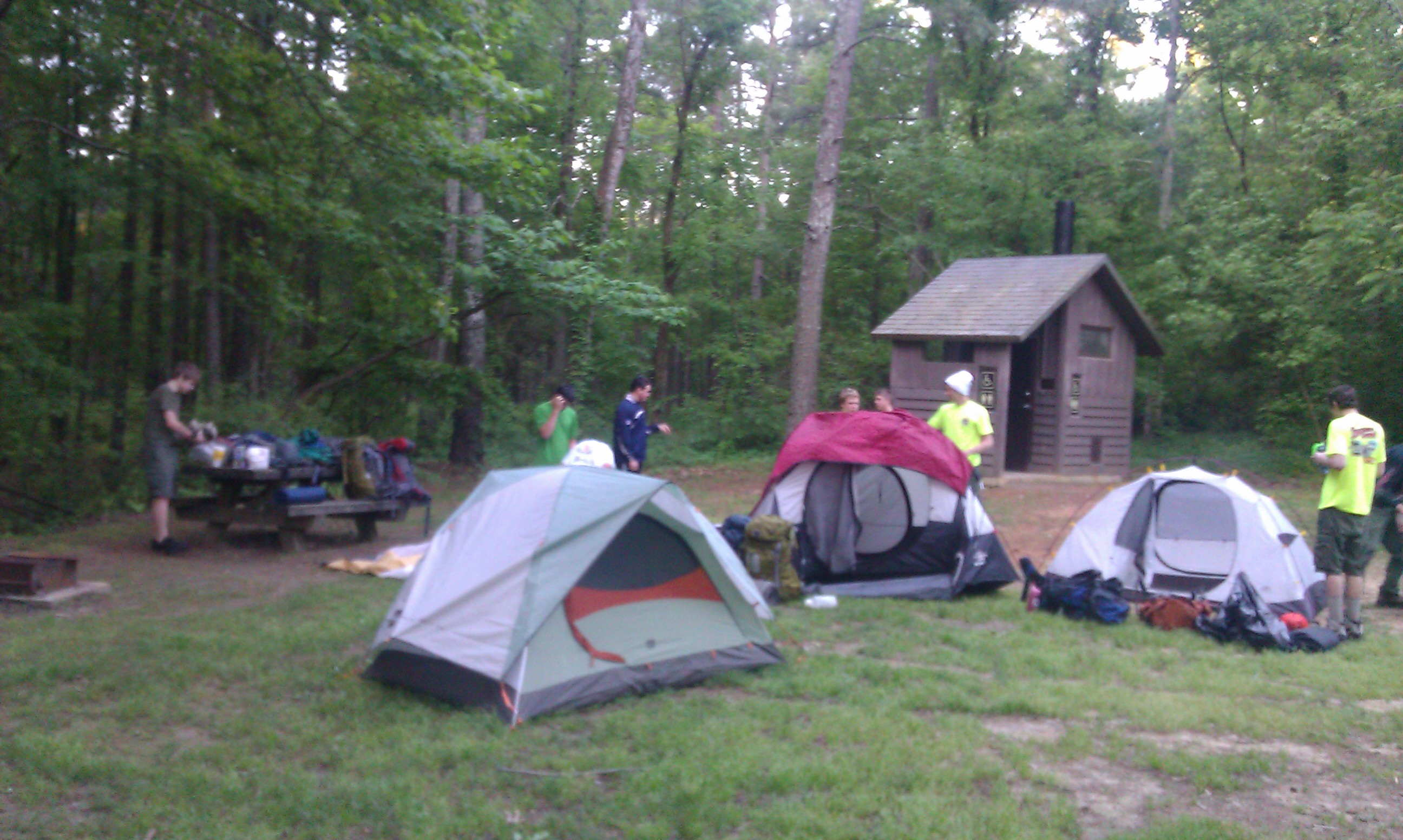
Nice place for lunch
Topographic Map of District Ranger Office, NC-24, Troy, NC, USA
Find elevation by address:

Places near District Ranger Office, NC-24, Troy, NC, USA:
Montgomery County
Troy
Troy
3870 Love Joy Rd
Uwharrie
Liberty Hill Church Rd, Mt Gilead, NC, USA
610 Thayer Rd
187 Low Water Bridge Rd
Pinelake Dr, Troy, NC, USA
713 Dennis Rd
NC-, Troy, NC, USA
Coggins Mine Rd, Troy, NC, USA
Sugarloaf Mountain
Morrow Mountain Road
Eldorado
Morrow Mountain State Park
Badin Lake Campground
30089 Keystone Dr
Palmerville Rd, New London, NC, USA
Guard Road
Recent Searches:
- Elevation of Congressional Dr, Stevensville, MD, USA
- Elevation of Bellview Rd, McLean, VA, USA
- Elevation of Stage Island Rd, Chatham, MA, USA
- Elevation of Shibuya Scramble Crossing, 21 Udagawacho, Shibuya City, Tokyo -, Japan
- Elevation of Jadagoniai, Kaunas District Municipality, Lithuania
- Elevation of Pagonija rock, Kranto 7-oji g. 8"N, Kaunas, Lithuania
- Elevation of Co Rd 87, Jamestown, CO, USA
- Elevation of Tenjo, Cundinamarca, Colombia
- Elevation of Côte-des-Neiges, Montreal, QC H4A 3J6, Canada
- Elevation of Bobcat Dr, Helena, MT, USA