Elevation of Thayer Rd, Troy, NC, USA
Location: United States > North Carolina > Montgomery County >
Longitude: -79.962679
Latitude: 35.5018635
Elevation: -10000m / -32808feet
Barometric Pressure: 295KPa
Elevation Map:
Satellite Map:
Related Photos:
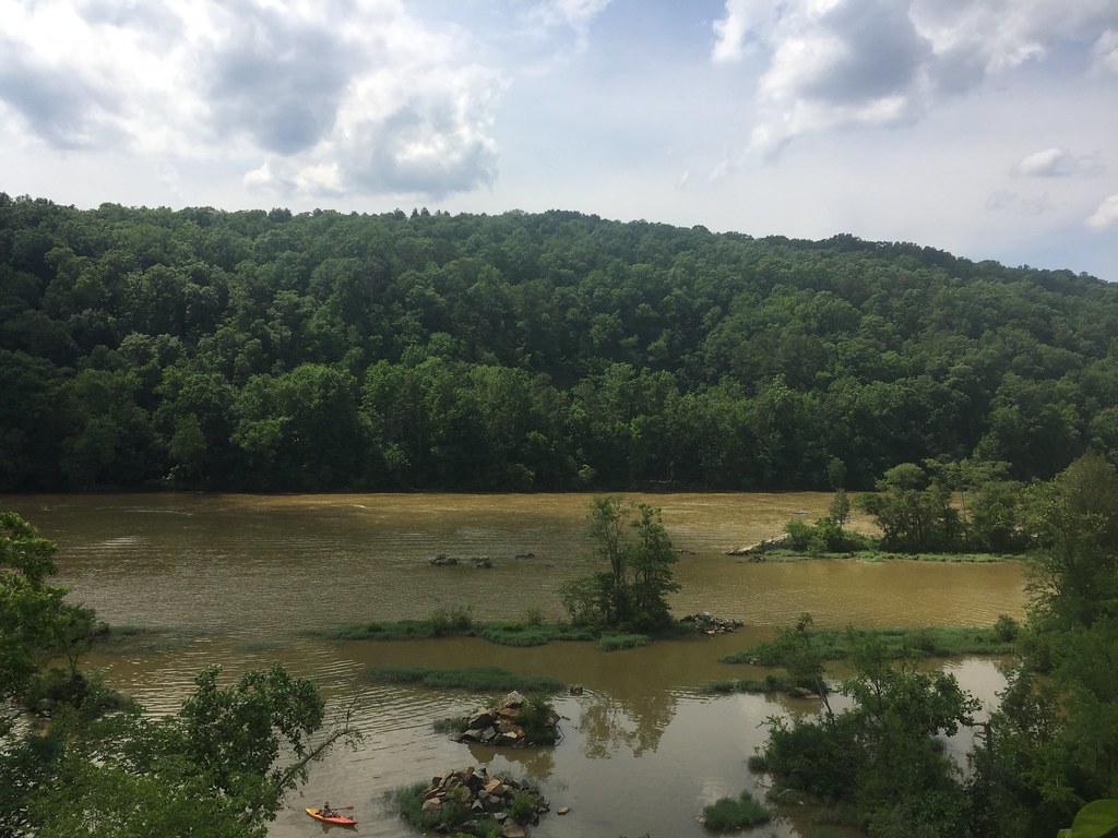
View from the cliff above the waterfall

Quiet Station
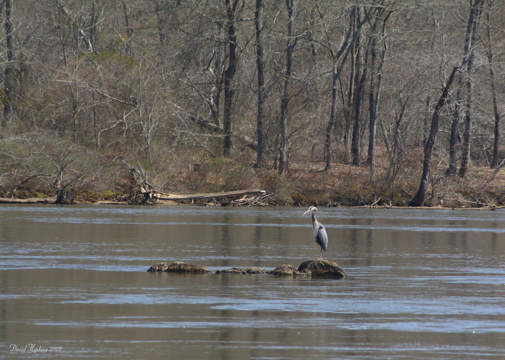
Great Blue Heron

View from the cliff above the waterfall

1964 Pontiac Lemans GTO

Pisgah Covered Bridge - Randolph County, NC

Falls Dam

Falls Dam Close Up

Barnes Creek from Jumping Off Rock

Herron and Gull

Side view of the falls

p13 - ready to ski for the first time - crop
Yates Place

389 cu. in with tripower

View of the Lake House from the Water

ECI '07 Panorama

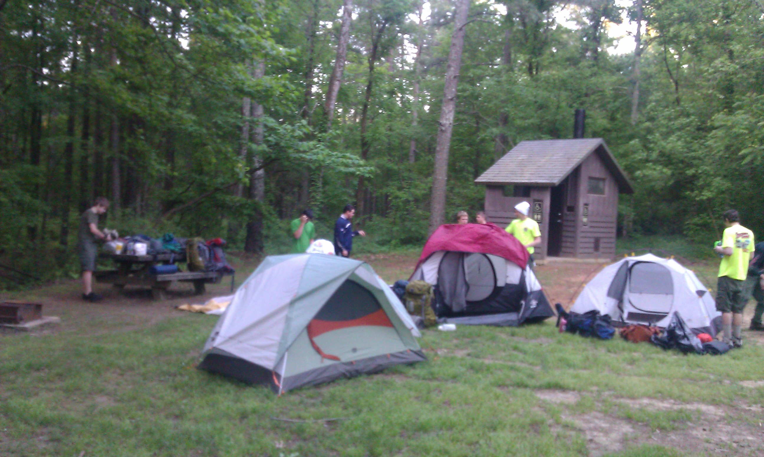
The lake from the campsite

Looking Glass Falls 10-13-12

Conor Rowland did a great job on our new dog playground area! He and Morgan Mattern are doing landscaping work through the Triad.

20171106-DSC_1130
DCIM22[N3550574W07995182T3FC6433BH00EA8A]

DCIM45[N3555350W07994723T420A62B0H00F9B3]

Yadkin River Pano at Falls Dam

DCIM1[N3561558W07989778T4213655FH0113EF]

Uwharrie Forest 4

Forgotten but not gone

Forgotten but not gone

Shadows and lichen on metavolcanic rock
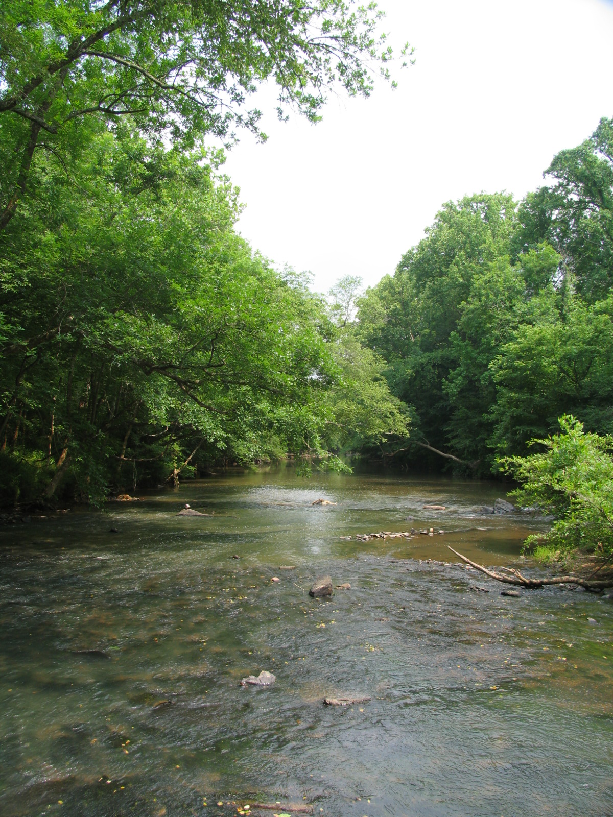
Uwharrie River
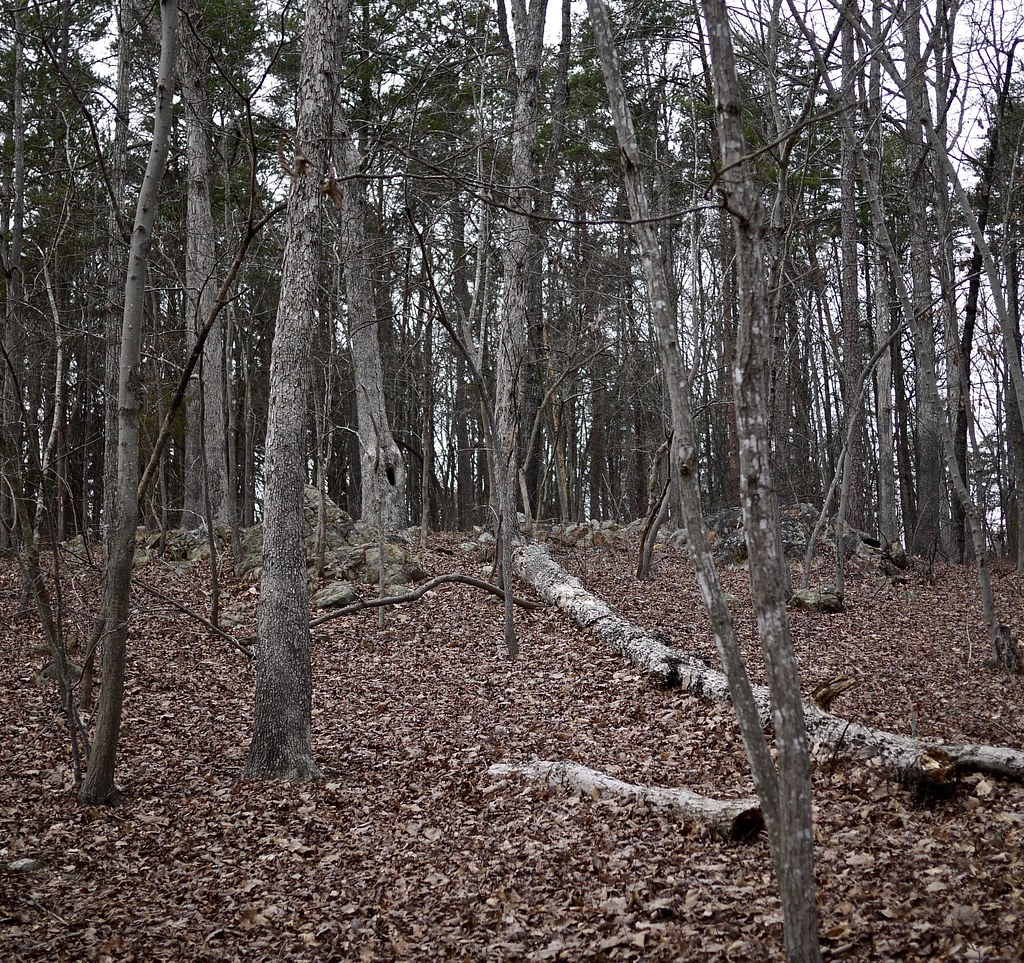
Uwharrie Forest 2

Beside the Bridge
Topographic Map of Thayer Rd, Troy, NC, USA
Find elevation by address:

Places near Thayer Rd, Troy, NC, USA:
187 Low Water Bridge Rd
3870 Love Joy Rd
Coggins Mine Rd, Troy, NC, USA
NC-, Troy, NC, USA
Eldorado
Uwharrie
Badin Lake Campground
713 Dennis Rd
New London, NC, USA
Troy
Pinelake Dr, Troy, NC, USA
Montgomery County
Liberty Hill Church Rd, Mt Gilead, NC, USA
Palmerville Rd, New London, NC, USA
District Ranger Office
116 Meadowview Cir
Troy
Sugarloaf Mountain
Morrow Mountain Road
Morrow Mountain State Park
Recent Searches:
- Elevation of Rojo Ct, Atascadero, CA, USA
- Elevation of Flagstaff Drive, Flagstaff Dr, North Carolina, USA
- Elevation of Avery Ln, Lakeland, FL, USA
- Elevation of Woolwine, VA, USA
- Elevation of Lumagwas Diversified Farmers Multi-Purpose Cooperative, Lumagwas, Adtuyon, RV32+MH7, Pangantucan, Bukidnon, Philippines
- Elevation of Homestead Ridge, New Braunfels, TX, USA
- Elevation of Orchard Road, Orchard Rd, Marlborough, NY, USA
- Elevation of 12 Hutchinson Woods Dr, Fletcher, NC, USA
- Elevation of Holloway Ave, San Francisco, CA, USA
- Elevation of Norfolk, NY, USA