Elevation of Sugarloaf Mountain, North Albemarle, NC, USA
Location: United States > North Carolina > Stanly County > North Albemarle >
Longitude: -80.077831
Latitude: 35.3662528
Elevation: 257m / 843feet
Barometric Pressure: 98KPa
Elevation Map:
Satellite Map:
Related Photos:

Downtown Badin, NC

Morrow Mountain State Park overlook
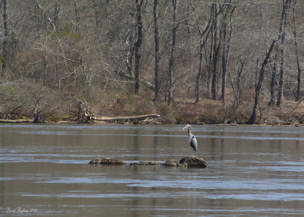
Great Blue Heron
Shaded at the top of the mountain

Smiling after that climb!

Arriving together

Finally...at the top

Capturing the Moment

Beginning the descent

Getting to the top together

Single Lane Bridge over Uwharrie River

Heading for the summit waterbreak

V for Victory !

Another arrival at the summit

Falls Dam

Mountaintop reststop and water break

Heading back down the mountain

Heading into the descent

Almost at the top

Falls Dam Close Up

She has arrived!
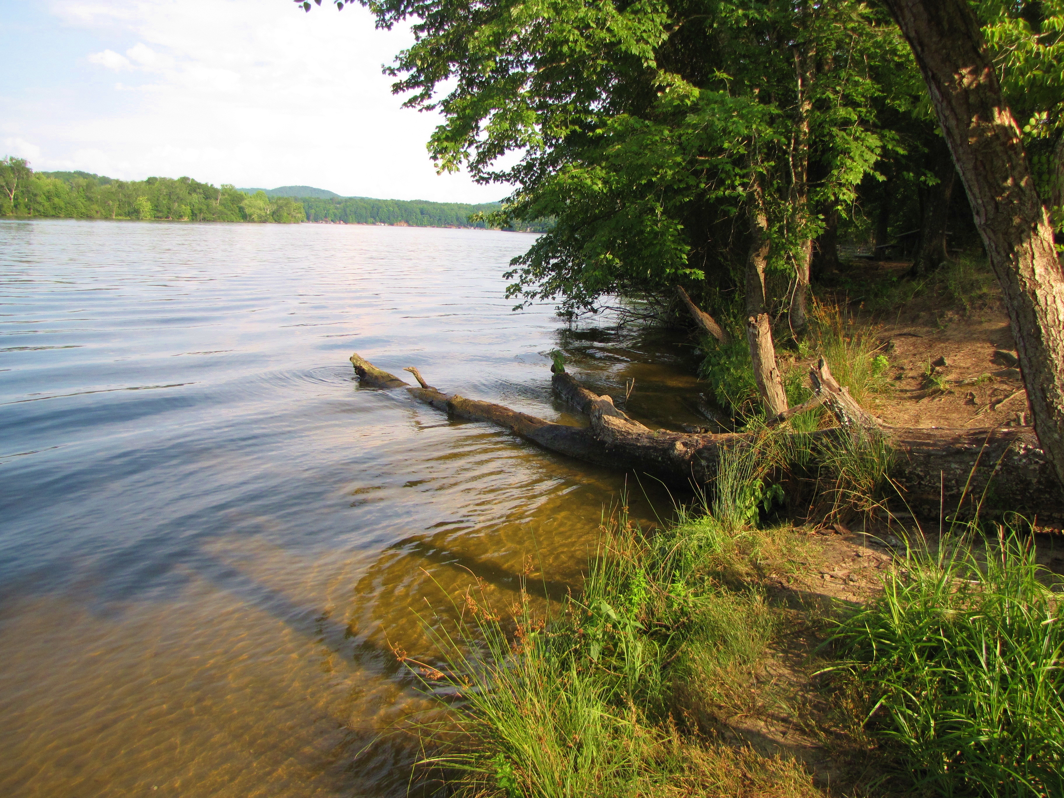
Lake Tillery at Morrow Mountain State Park

Lake Tillery at Morrow Mountain State Park (2)

Morrow Mountain State Park picnic area (2)

24-27 AT LAKE TILLERY BRIDGE

"It's so beautiful!"

Sciurus carolinensis

Morrow Mountain State Park picnic area

KVUJ Aerial PVP 2013-2

Yadkin River Pano at Falls Dam

Rural NC

Flight of the Eagle

KVUJ Aerial PVP 2013-4

KVUJ Aerial PVP 2013-3

Dirt Road - One Lane Bridge...what else do you need?
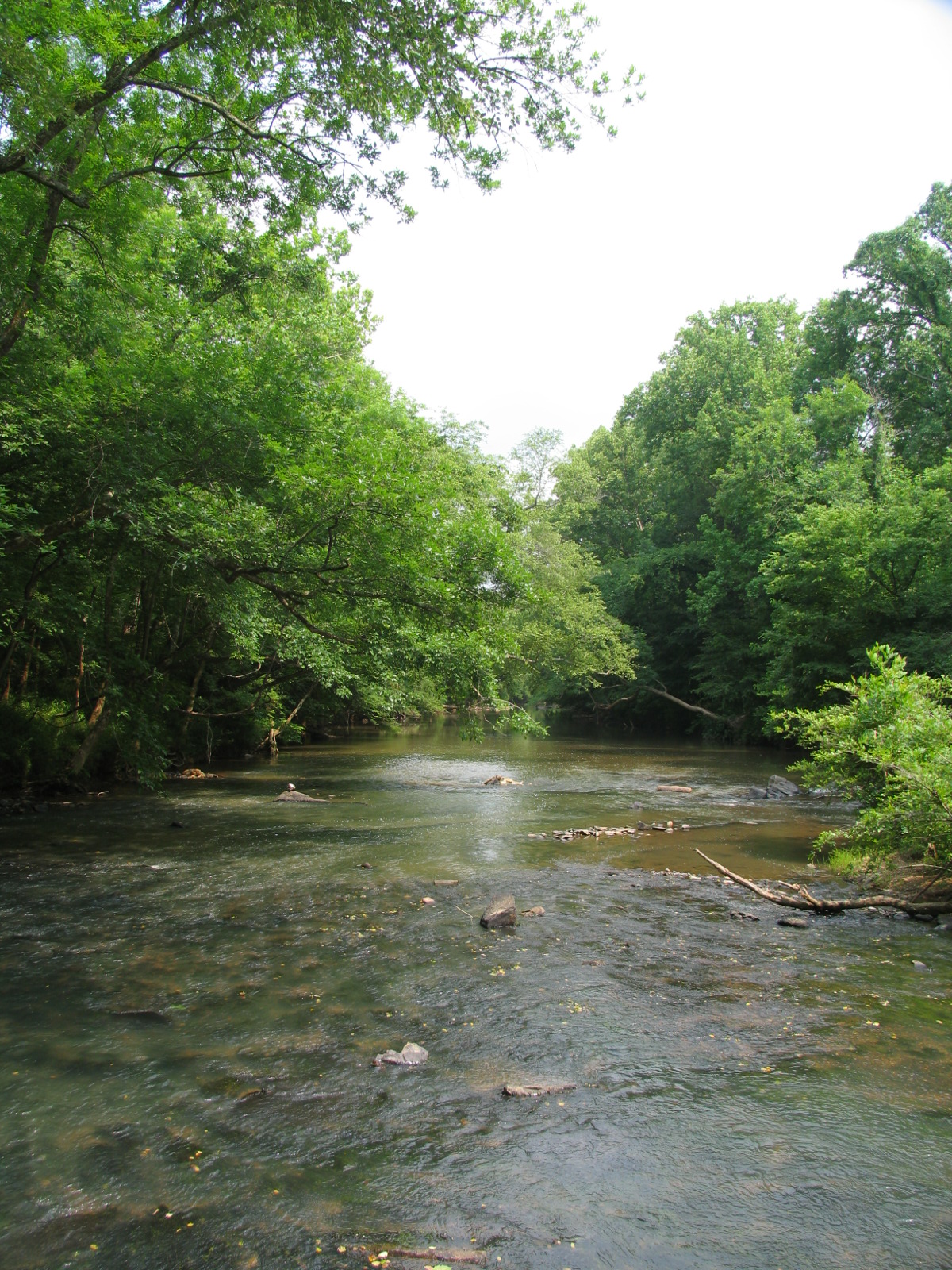
Uwharrie River

NC Sunrise

Now that it's all over, what did you really do yesterday that's worth mentioning?
Sunrise Badin Lake NC

Uwharrie Forest 4

20141115-DSC_4818

20171106-DSC_0919
Topographic Map of Sugarloaf Mountain, North Albemarle, NC, USA
Find elevation by address:

Places near Sugarloaf Mountain, North Albemarle, NC, USA:
Morrow Mountain Road
Morrow Mountain State Park
Pinelake Dr, Troy, NC, USA
713 Dennis Rd
30089 Keystone Dr
Guard Road
32843 Guard Rd
Palmerville Rd, New London, NC, USA
North Albemarle
Marwood Ln, Albemarle, NC, USA
Badin Lake Campground
Eldorado
Liberty Hill Church Rd, Mt Gilead, NC, USA
Uwharrie
NC-, Troy, NC, USA
New London, NC, USA
42484 Moonshine Dr
Coggins Mine Rd, Troy, NC, USA
116 Meadowview Cir
187 Low Water Bridge Rd
Recent Searches:
- Elevation of Congressional Dr, Stevensville, MD, USA
- Elevation of Bellview Rd, McLean, VA, USA
- Elevation of Stage Island Rd, Chatham, MA, USA
- Elevation of Shibuya Scramble Crossing, 21 Udagawacho, Shibuya City, Tokyo -, Japan
- Elevation of Jadagoniai, Kaunas District Municipality, Lithuania
- Elevation of Pagonija rock, Kranto 7-oji g. 8"N, Kaunas, Lithuania
- Elevation of Co Rd 87, Jamestown, CO, USA
- Elevation of Tenjo, Cundinamarca, Colombia
- Elevation of Côte-des-Neiges, Montreal, QC H4A 3J6, Canada
- Elevation of Bobcat Dr, Helena, MT, USA