Elevation of Coggins Mine Rd, Troy, NC, USA
Location: United States > North Carolina > Montgomery County >
Longitude: -80.021691
Latitude: 35.486586
Elevation: 151m / 495feet
Barometric Pressure: 100KPa
Elevation Map:
Satellite Map:
Related Photos:

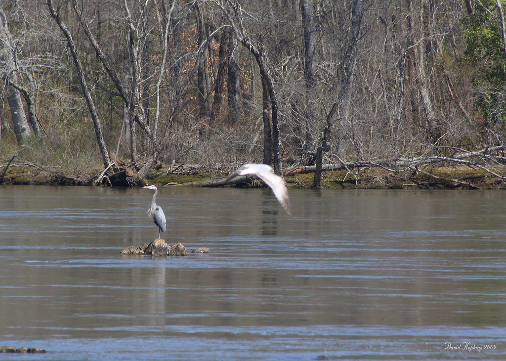
Great Blue Heron
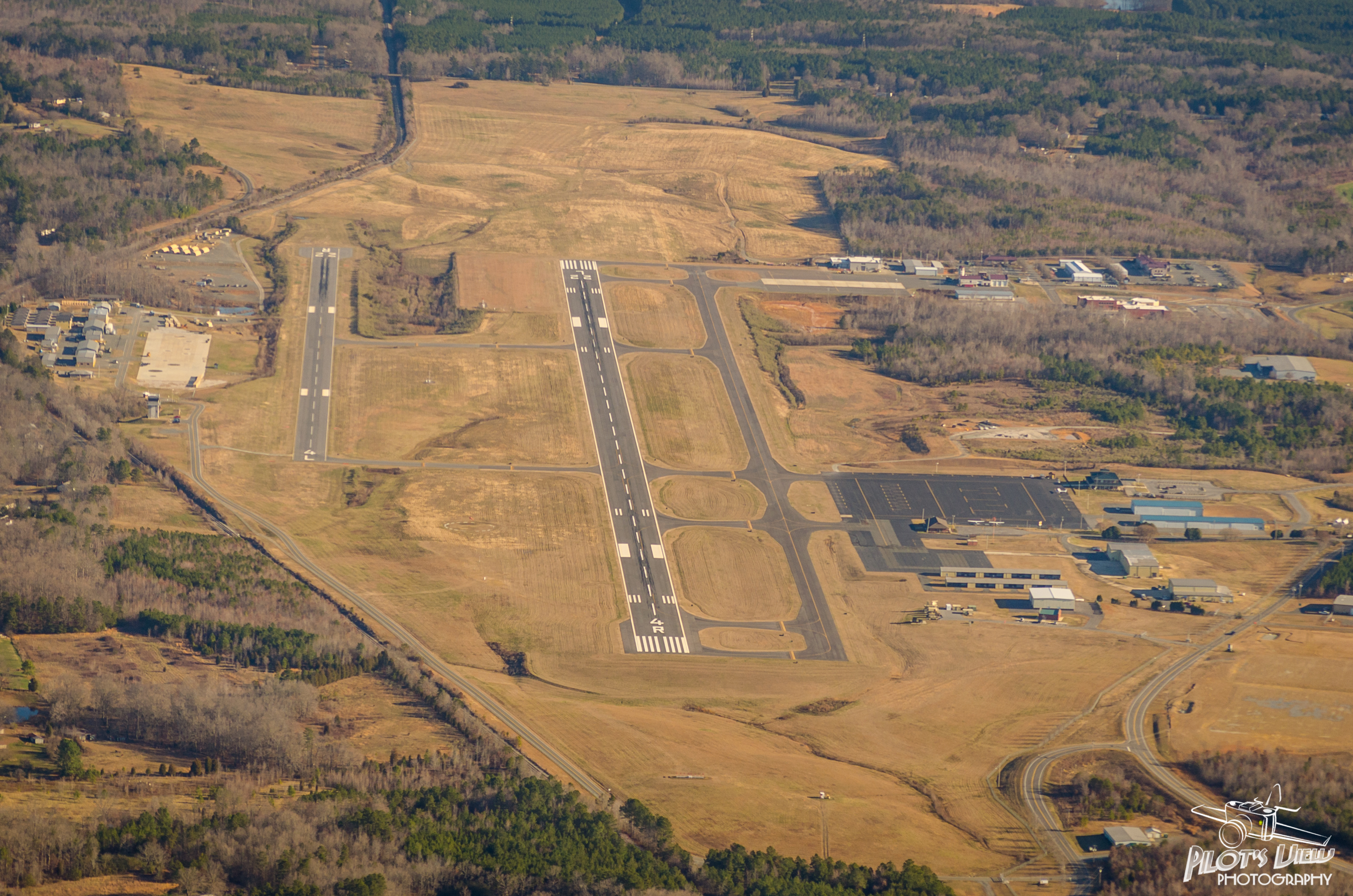
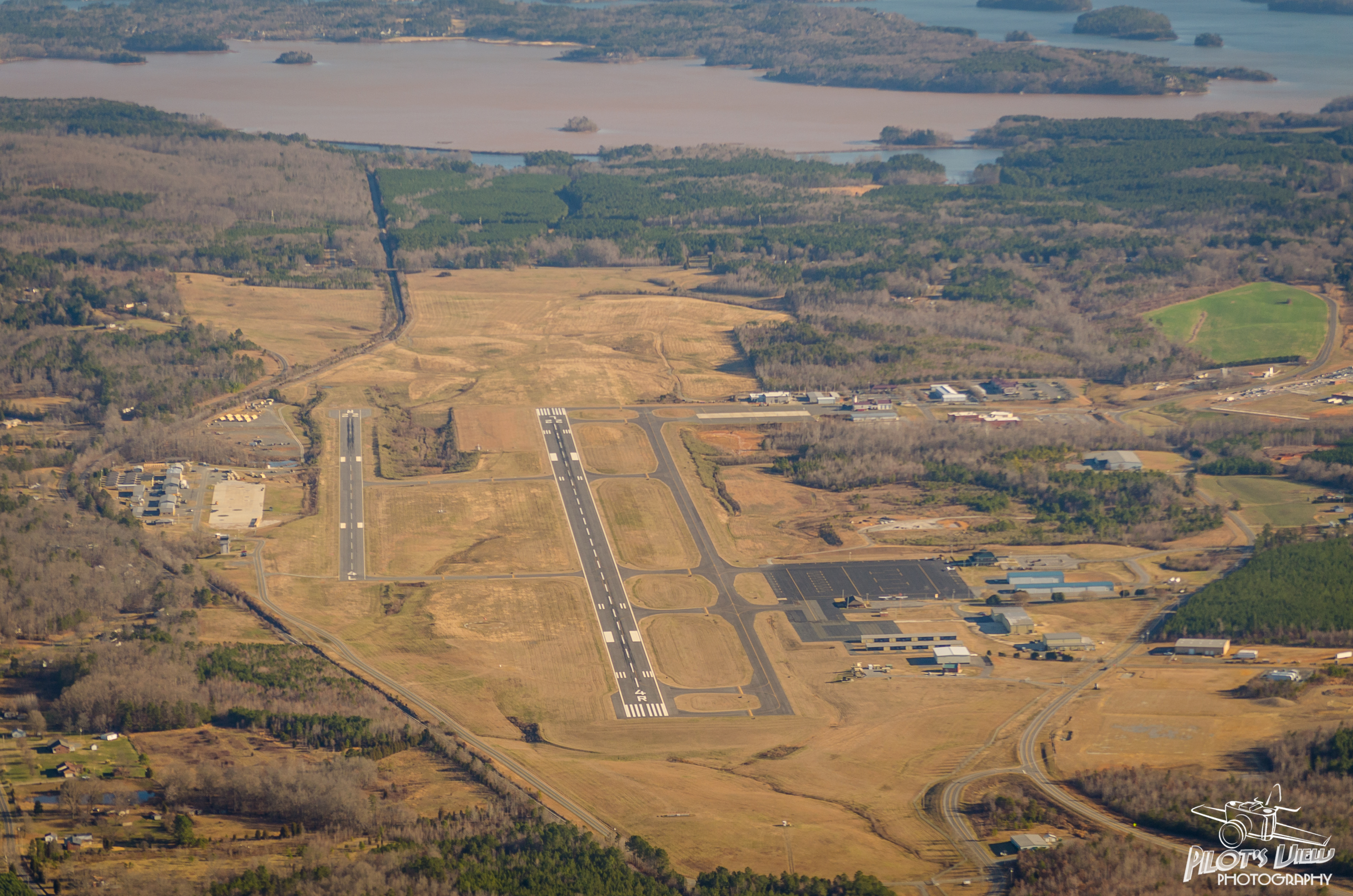
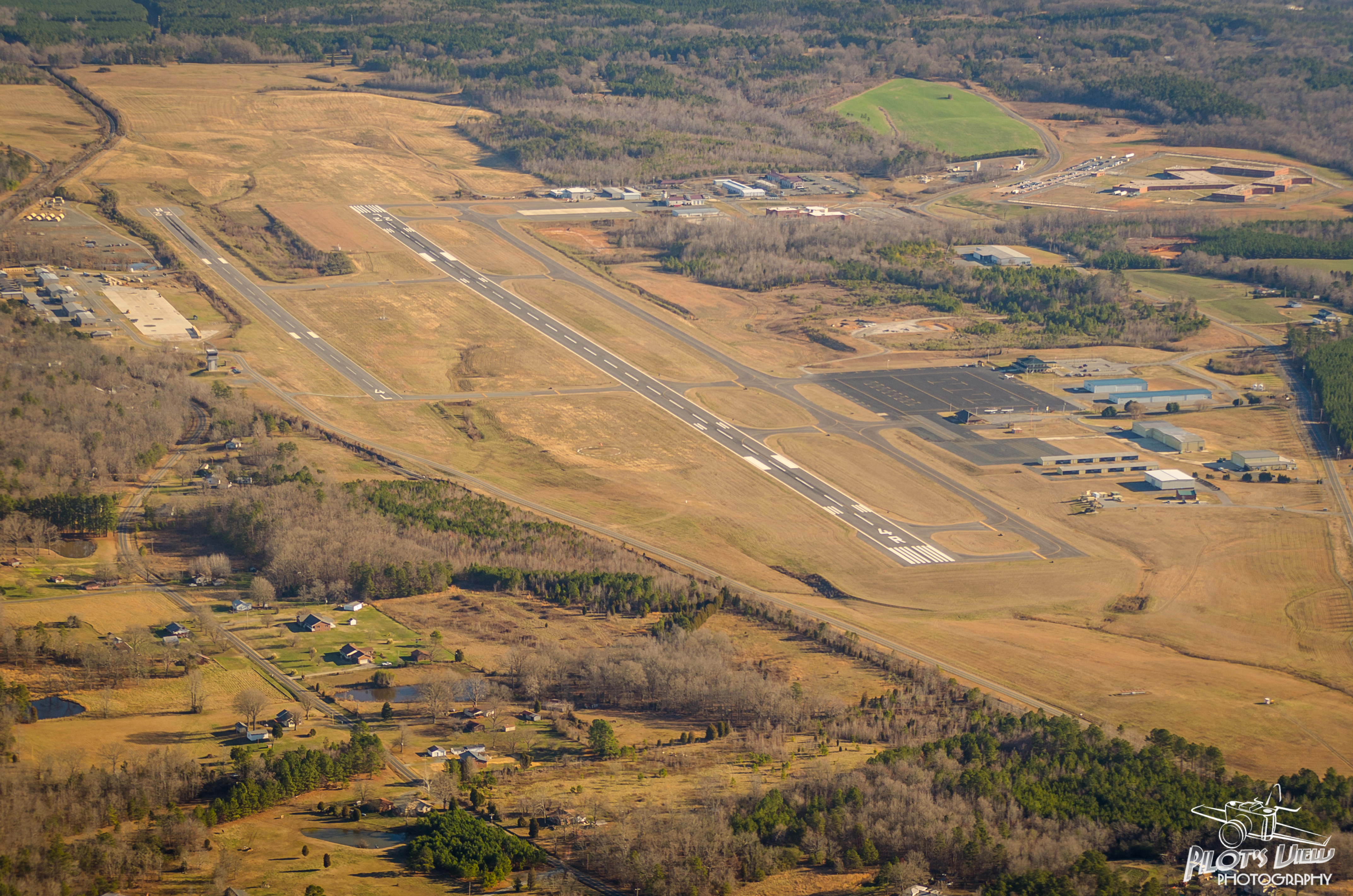
KVUJ Aerial PVP 2013-2
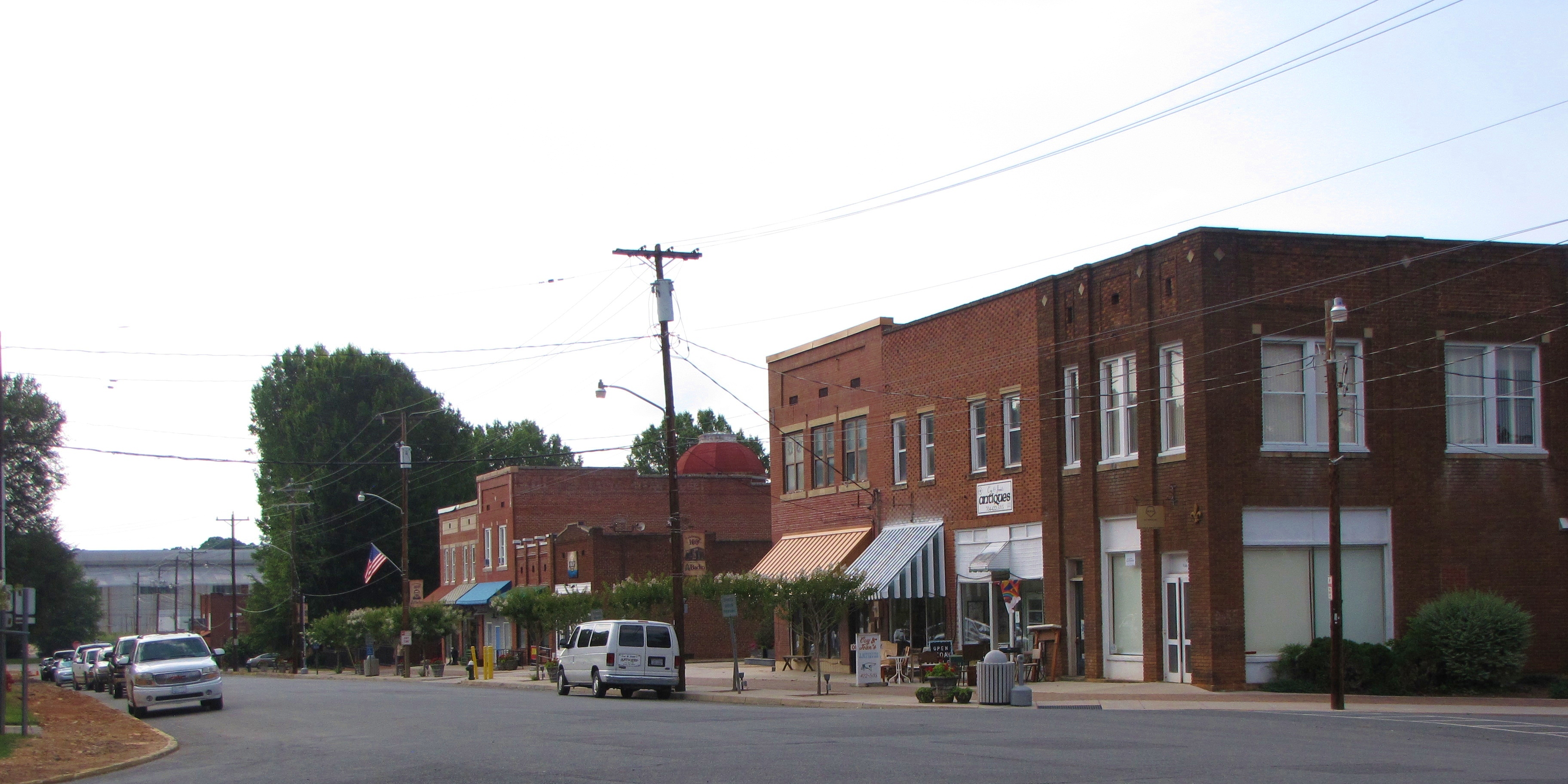
Downtown Badin, NC
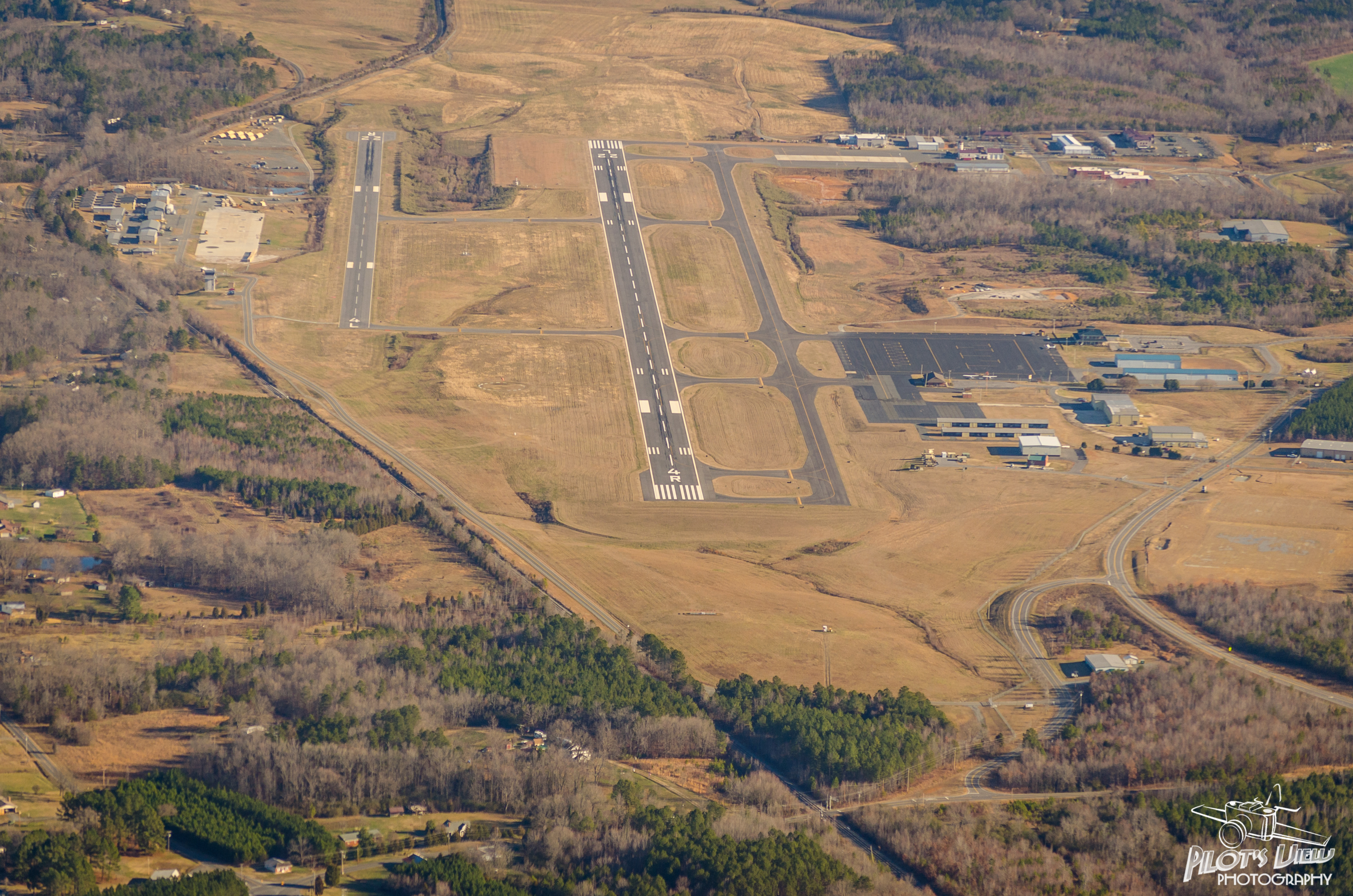
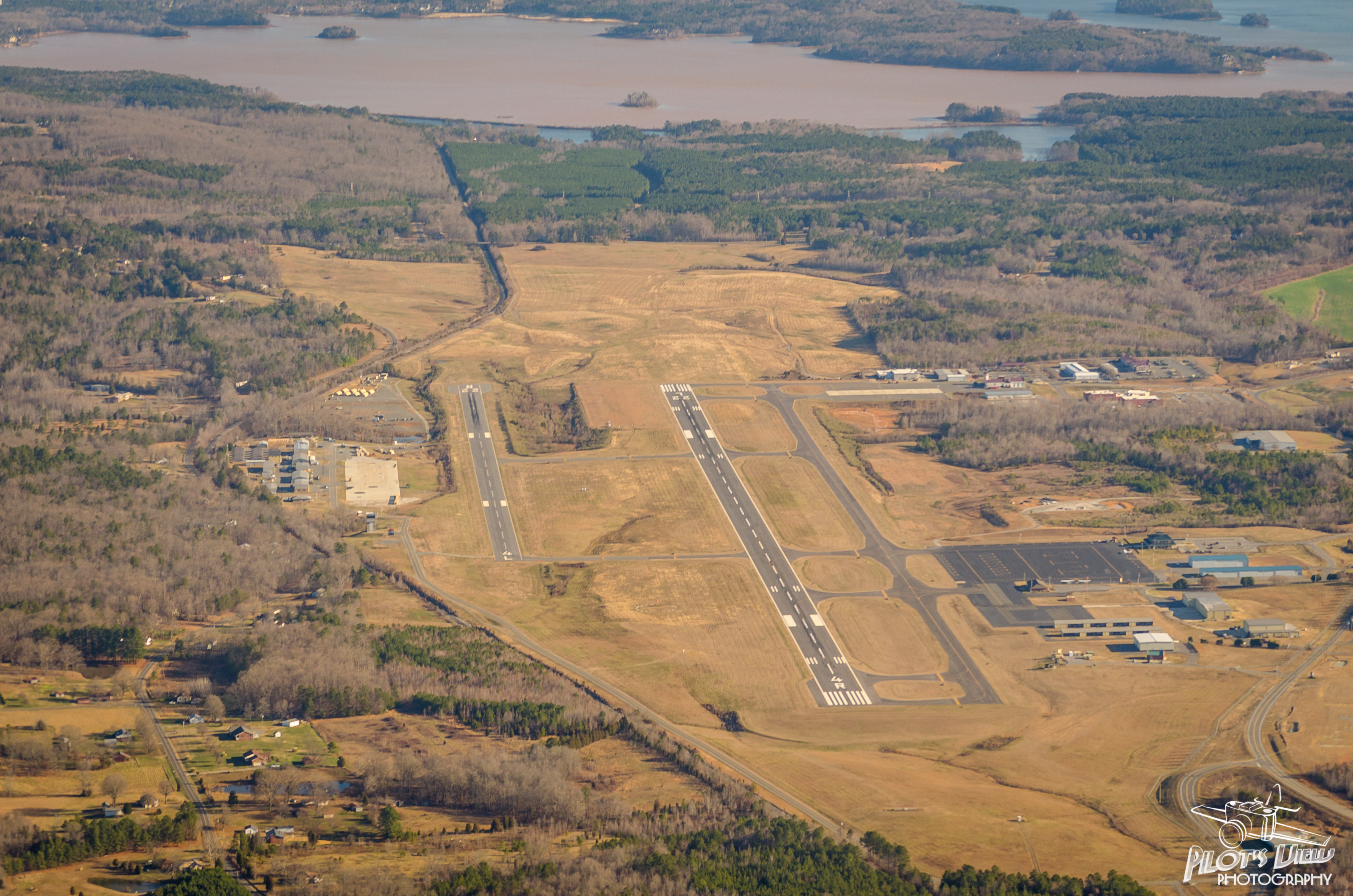
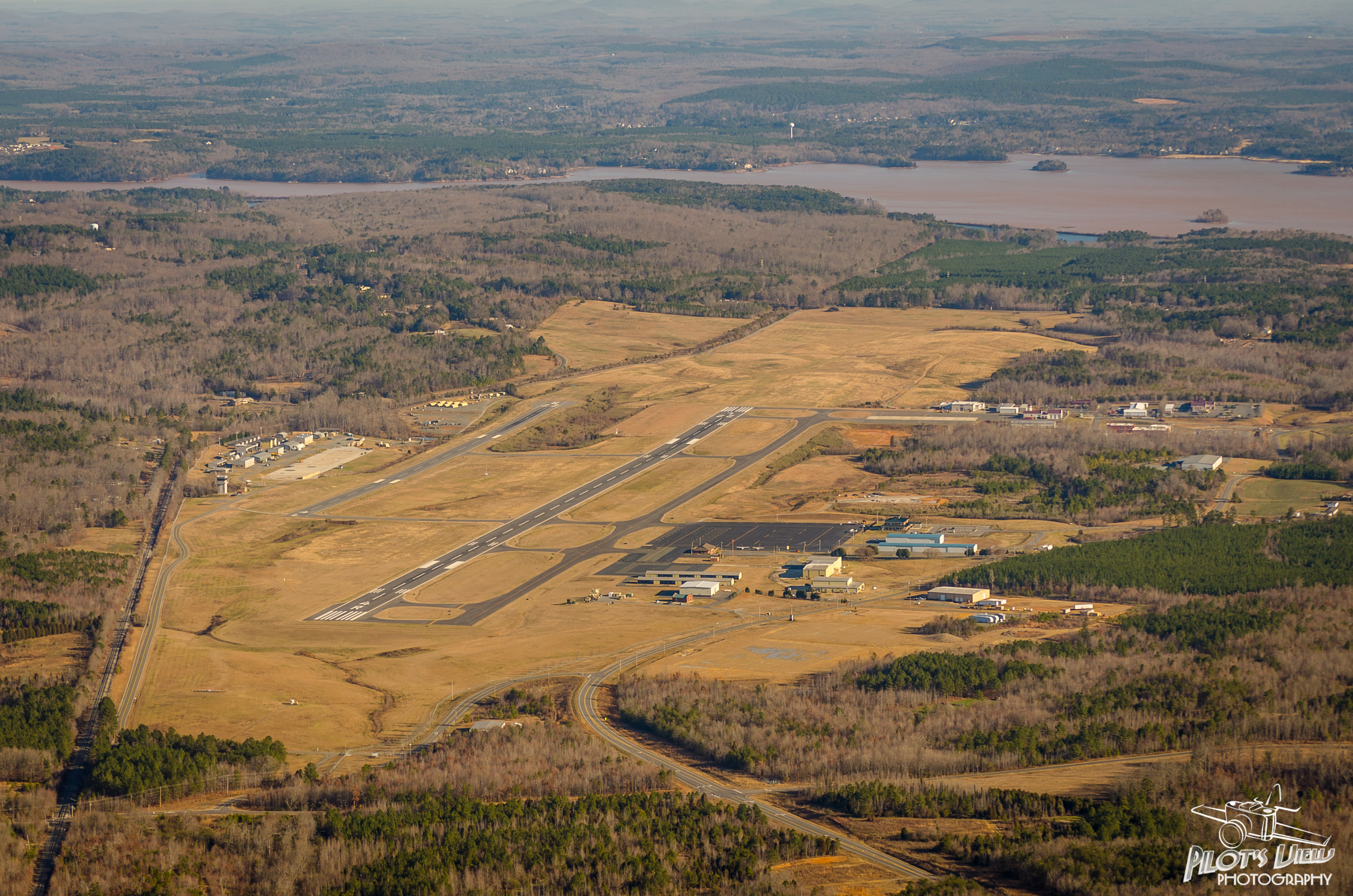
KVUJ Aerial PVP 2013-1

Falls Dam Close Up

pre siesta view
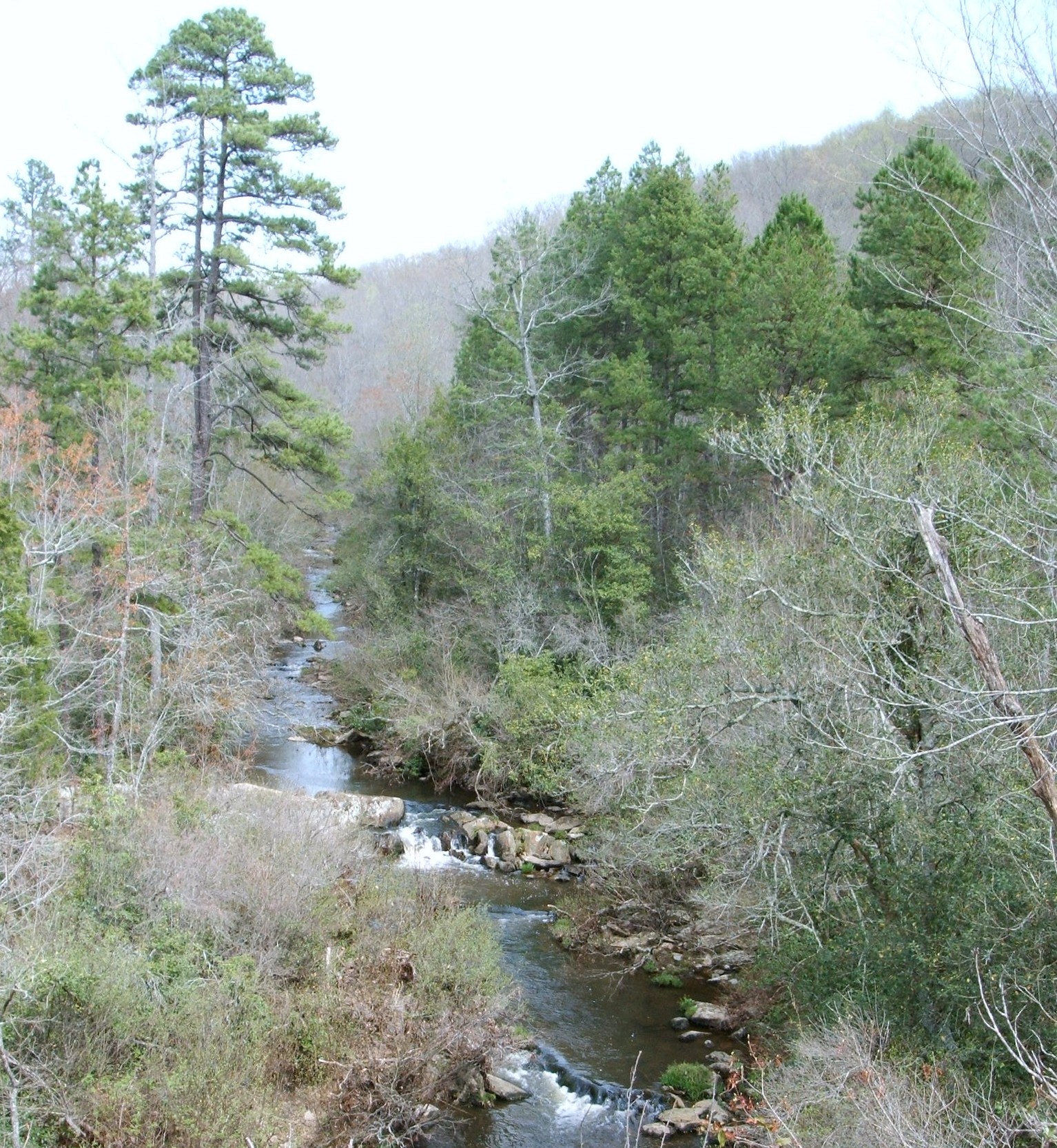
Barnes Creek from Jumping Off Rock
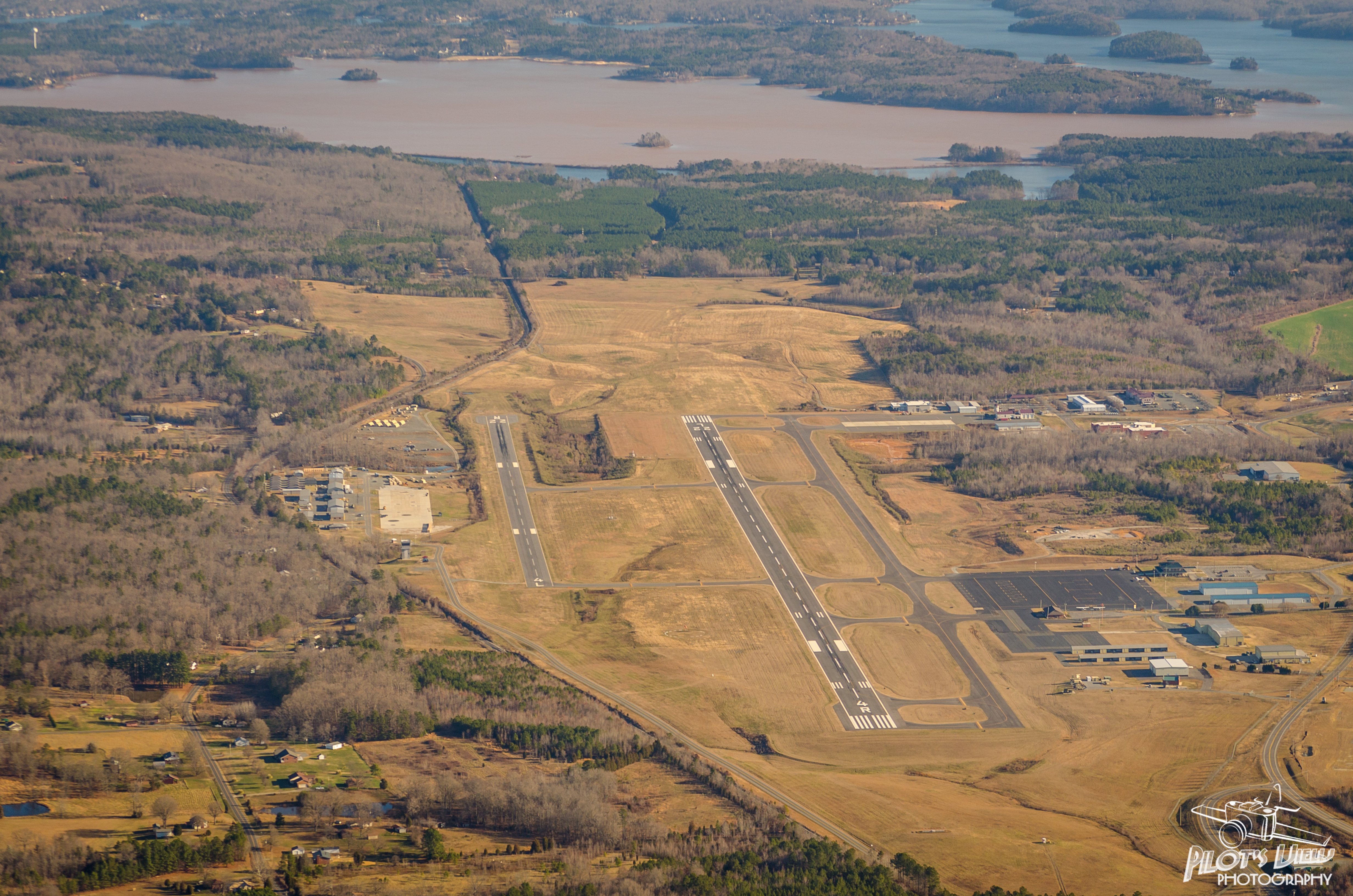
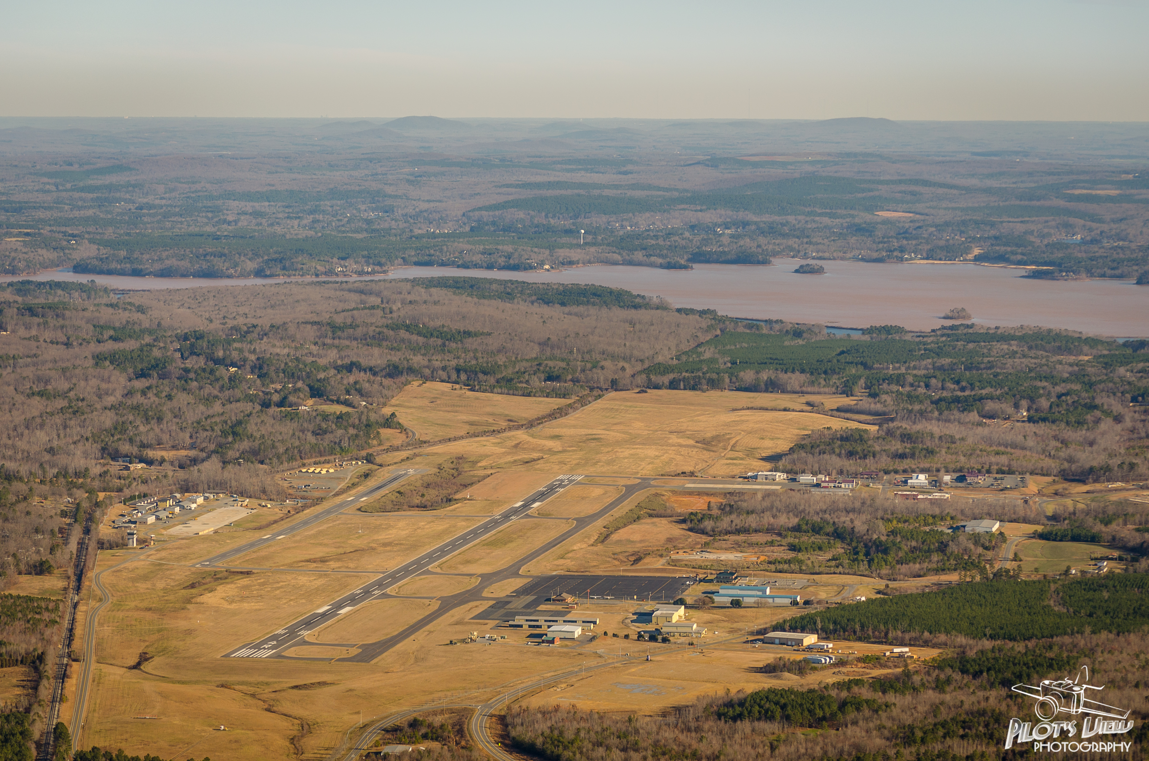
KVUJ Aerial PVP 2013-3

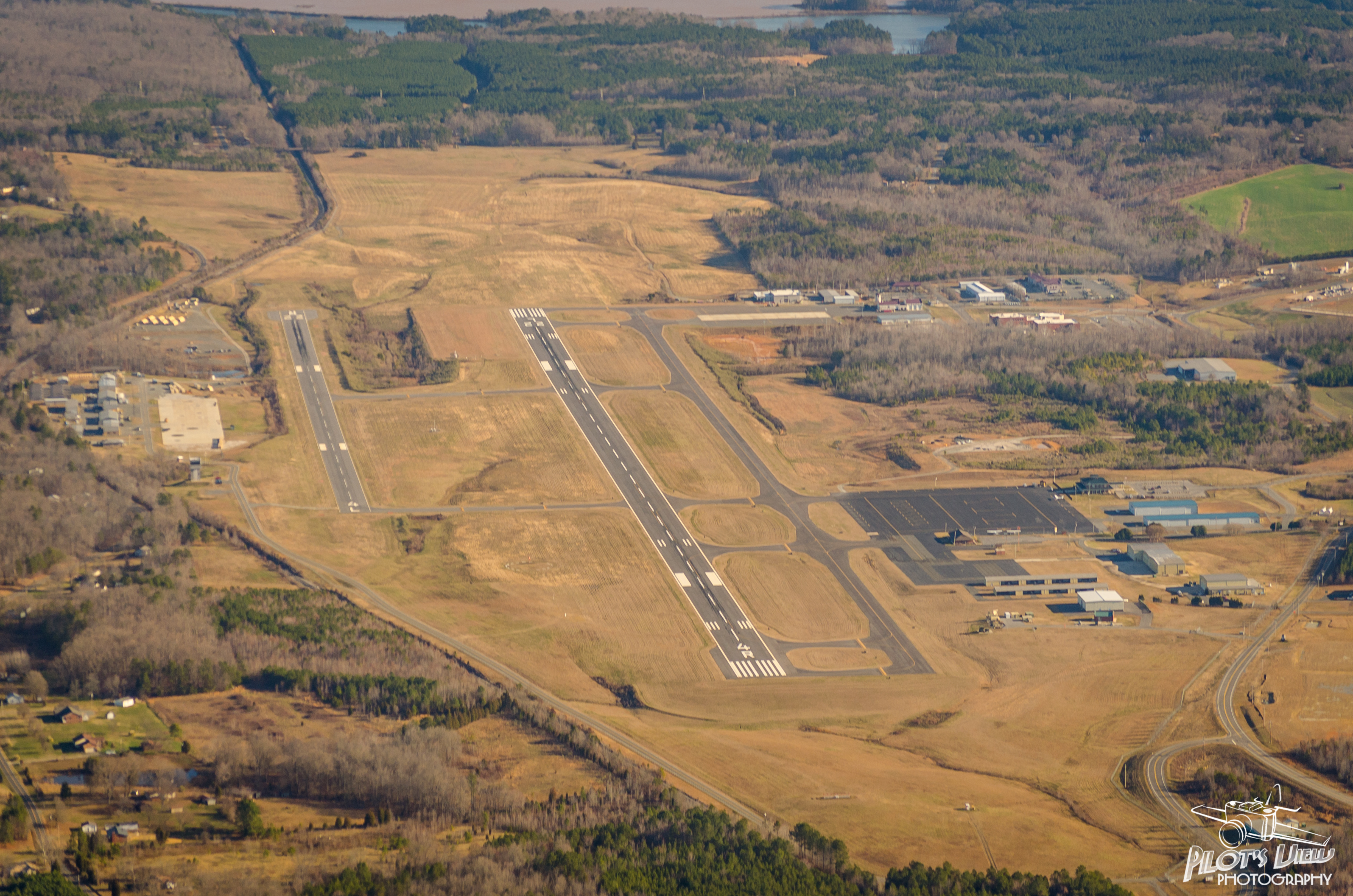
KVUJ Aerial PVP 2013-4

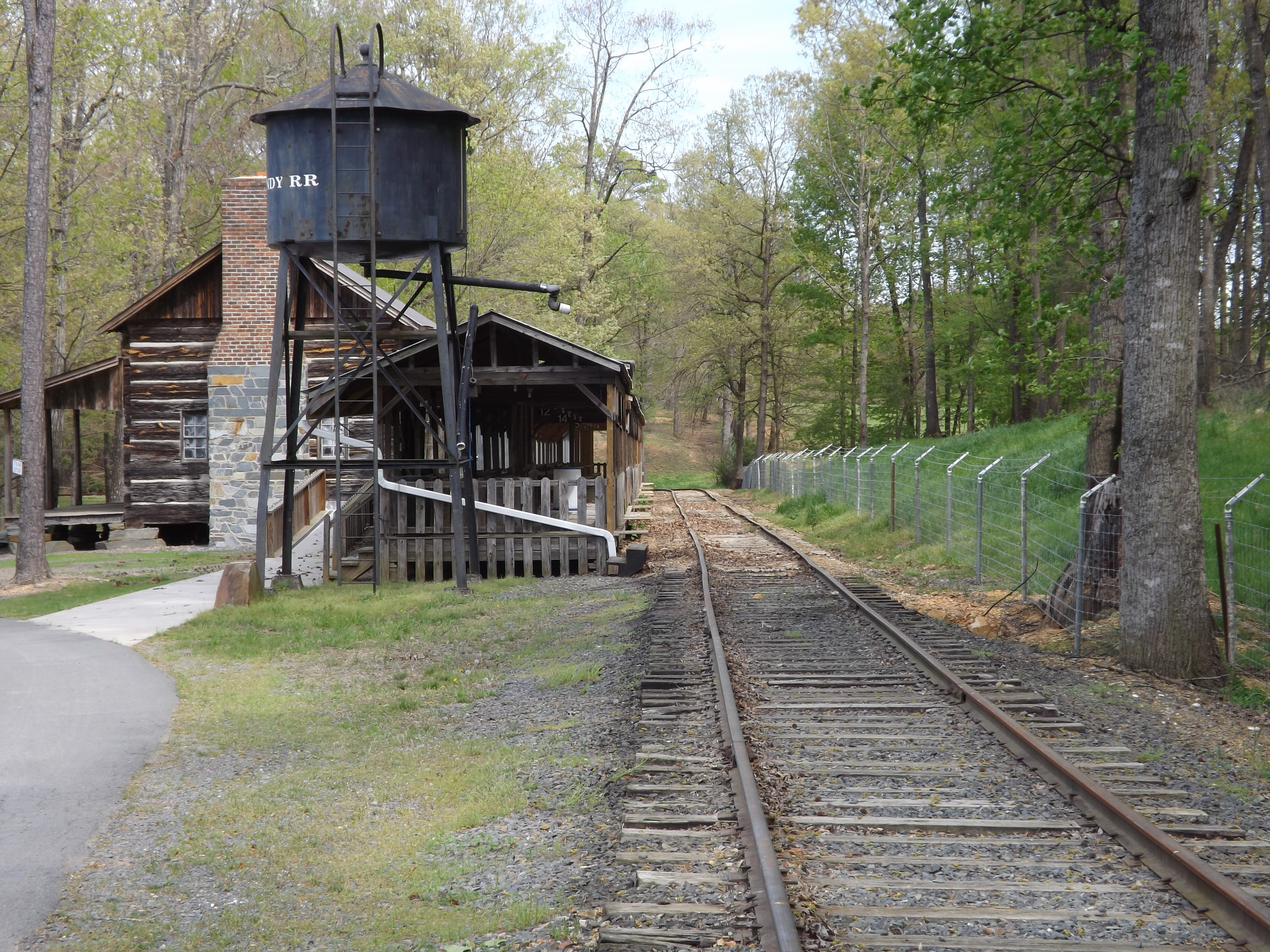
Single Lane Bridge over Uwharrie River
KVUJ Aerial PVP 2013-5
KVUJ Aerial PVP 2013-6
KVUJ Aerial PVP 2013-7
KVUJ Aerial PVP 2013-10

KVUJ Aerial PVP 2013-8
KVUJ Aerial PVP 2013-11
KVUJ Aerial PVP 2013-12
Quiet Station
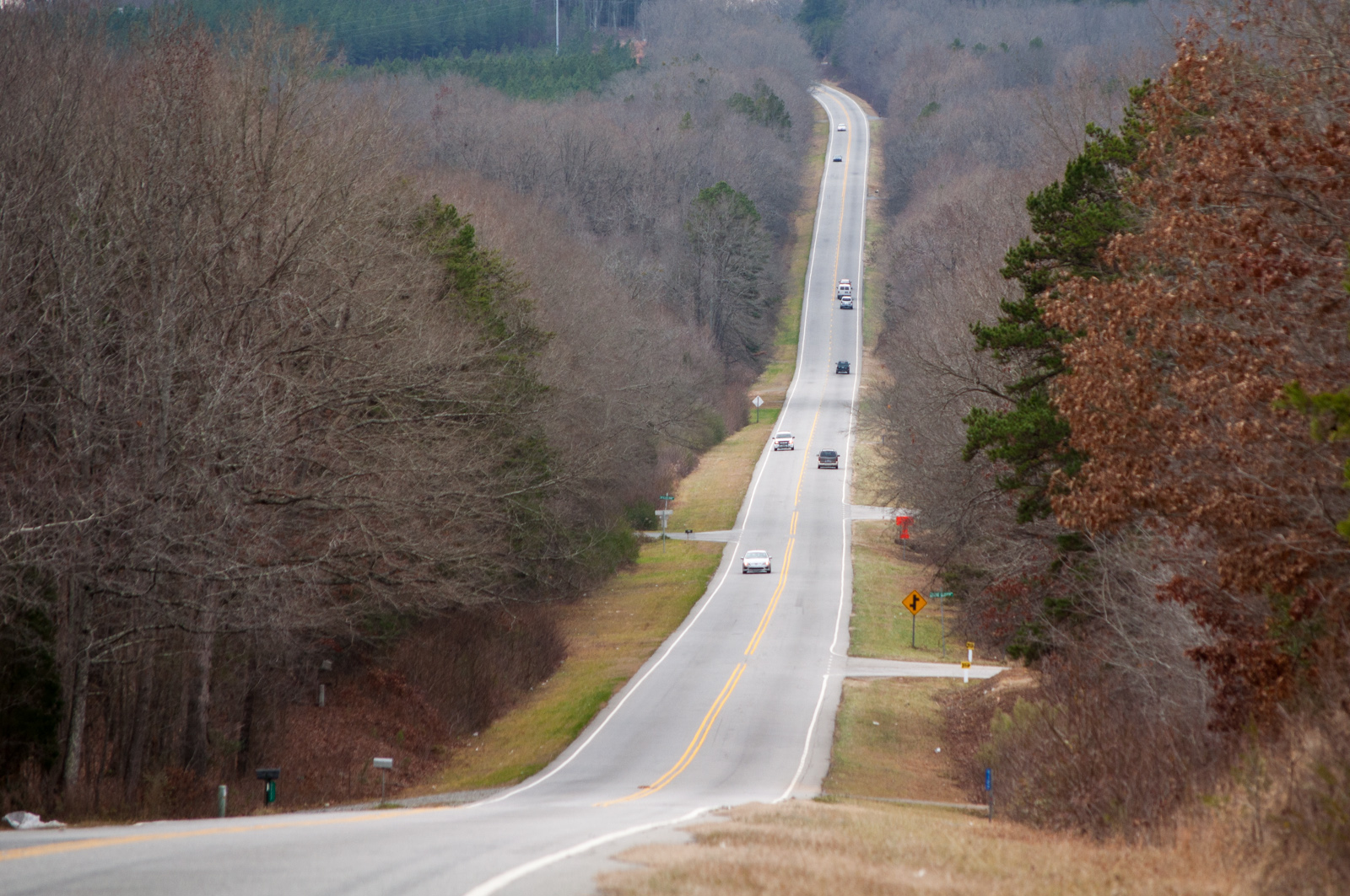
Uwharrie Scenic Road
Herron and Gull
Yates Place

Waiting for the recharge

a refresh

The lake from the campsite
Nice place for lunch

NC Reunion

Rural NC

The natural (variation)
Lake Tillery at Morrow Mountain State Park

20141115-DSC_4815
Morrow Mt SP NC 1116
Yadkin River Pano at Falls Dam

Safari (part 2)
Topographic Map of Coggins Mine Rd, Troy, NC, USA
Find elevation by address:

Places near Coggins Mine Rd, Troy, NC, USA:
NC-, Troy, NC, USA
187 Low Water Bridge Rd
Eldorado
610 Thayer Rd
Badin Lake Campground
3870 Love Joy Rd
New London, NC, USA
Uwharrie
Palmerville Rd, New London, NC, USA
713 Dennis Rd
116 Meadowview Cir
Pinelake Dr, Troy, NC, USA
Morrow Mountain Road
Sugarloaf Mountain
42484 Moonshine Dr
Morrow Mountain State Park
32843 Guard Rd
Liberty Hill Church Rd, Mt Gilead, NC, USA
Guard Road
30089 Keystone Dr
Recent Searches:
- Elevation of Gateway Blvd SE, Canton, OH, USA
- Elevation of East W.T. Harris Boulevard, E W.T. Harris Blvd, Charlotte, NC, USA
- Elevation of West Sugar Creek, Charlotte, NC, USA
- Elevation of Wayland, NY, USA
- Elevation of Steadfast Ct, Daphne, AL, USA
- Elevation of Lagasgasan, X+CQH, Tiaong, Quezon, Philippines
- Elevation of Rojo Ct, Atascadero, CA, USA
- Elevation of Flagstaff Drive, Flagstaff Dr, North Carolina, USA
- Elevation of Avery Ln, Lakeland, FL, USA
- Elevation of Woolwine, VA, USA