Elevation of BADIN LAKE CAMPGROUND, BADIN LAKE REC AREA ROAD, New London, NC, USA
Location: United States > North Carolina > Montgomery County >
Longitude: -80.078661
Latitude: 35.4484722
Elevation: 161m / 528feet
Barometric Pressure: 99KPa
Elevation Map:
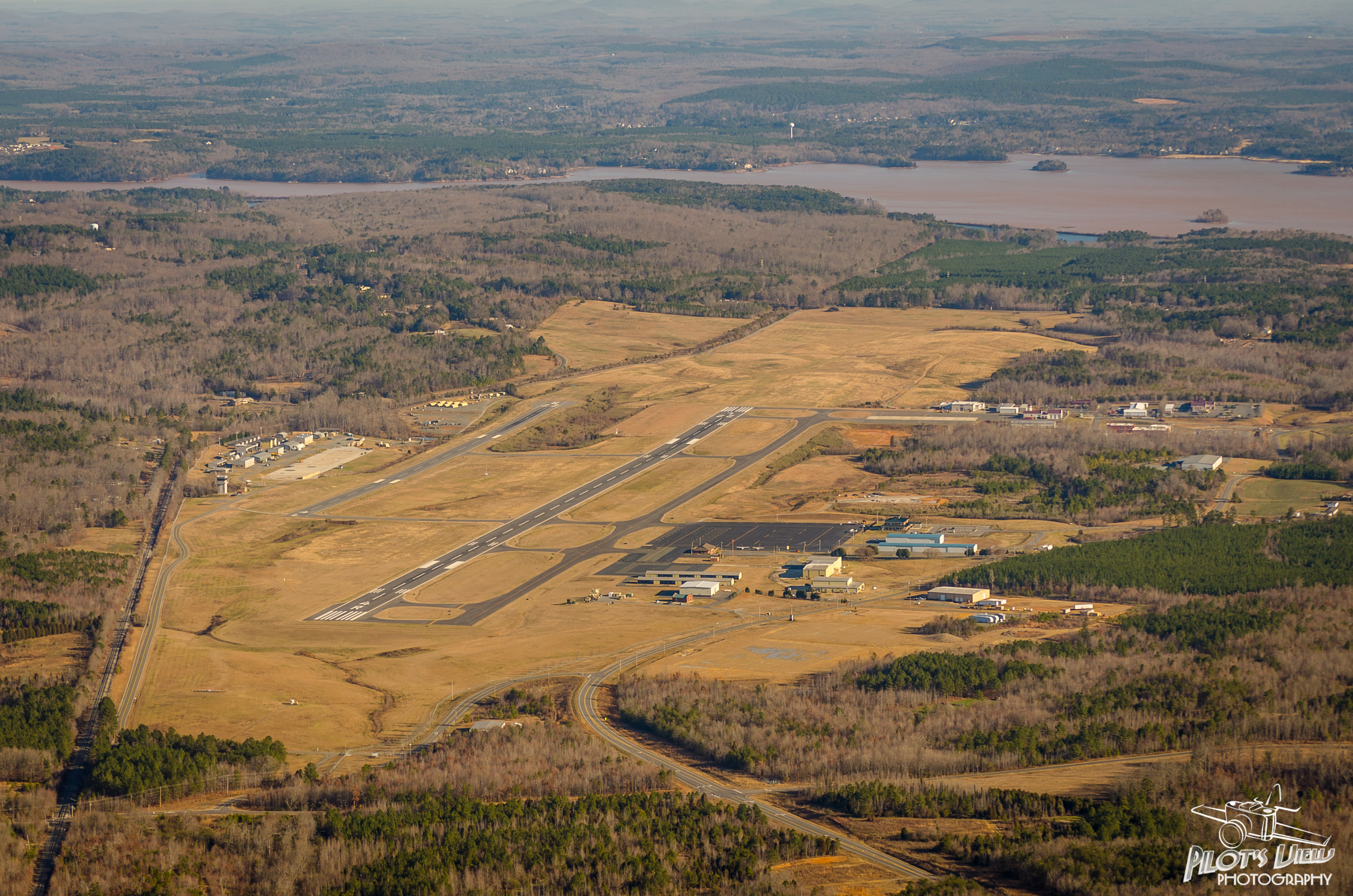
Satellite Map:
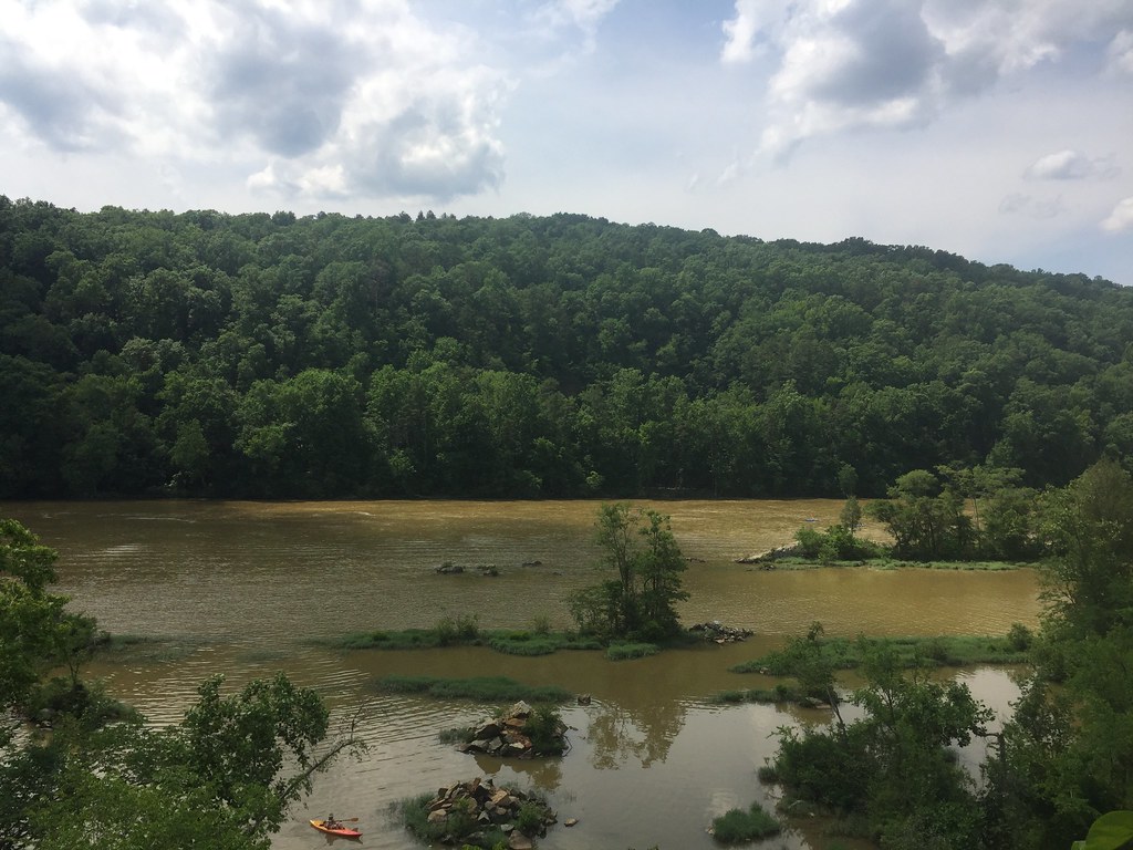
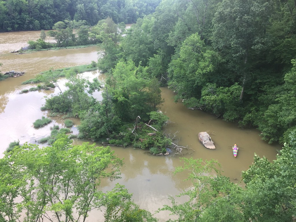
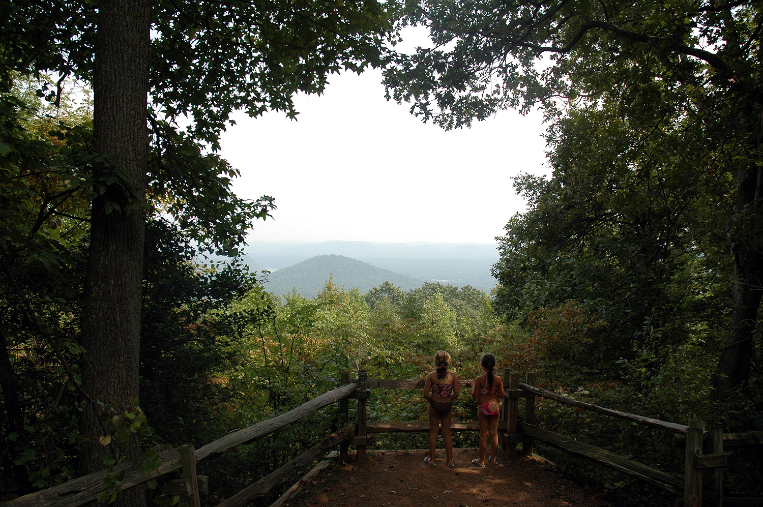
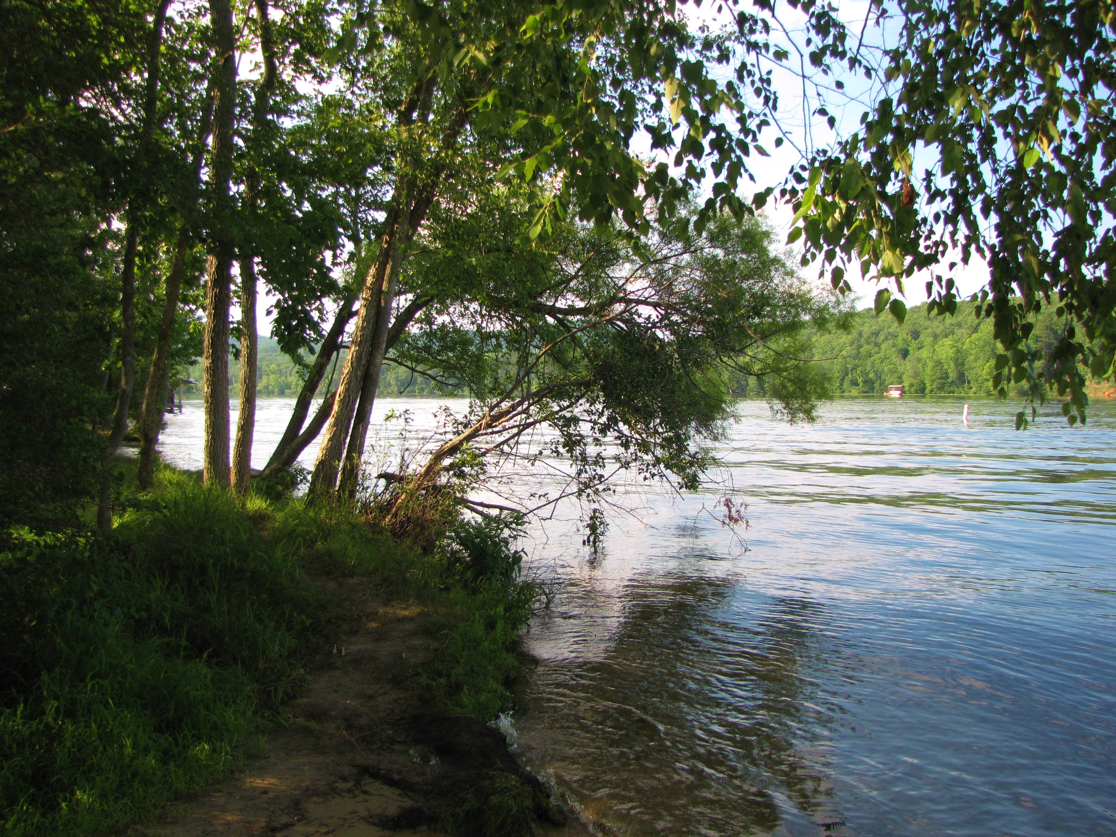
Related Photos:

Shaded at the top of the mountain
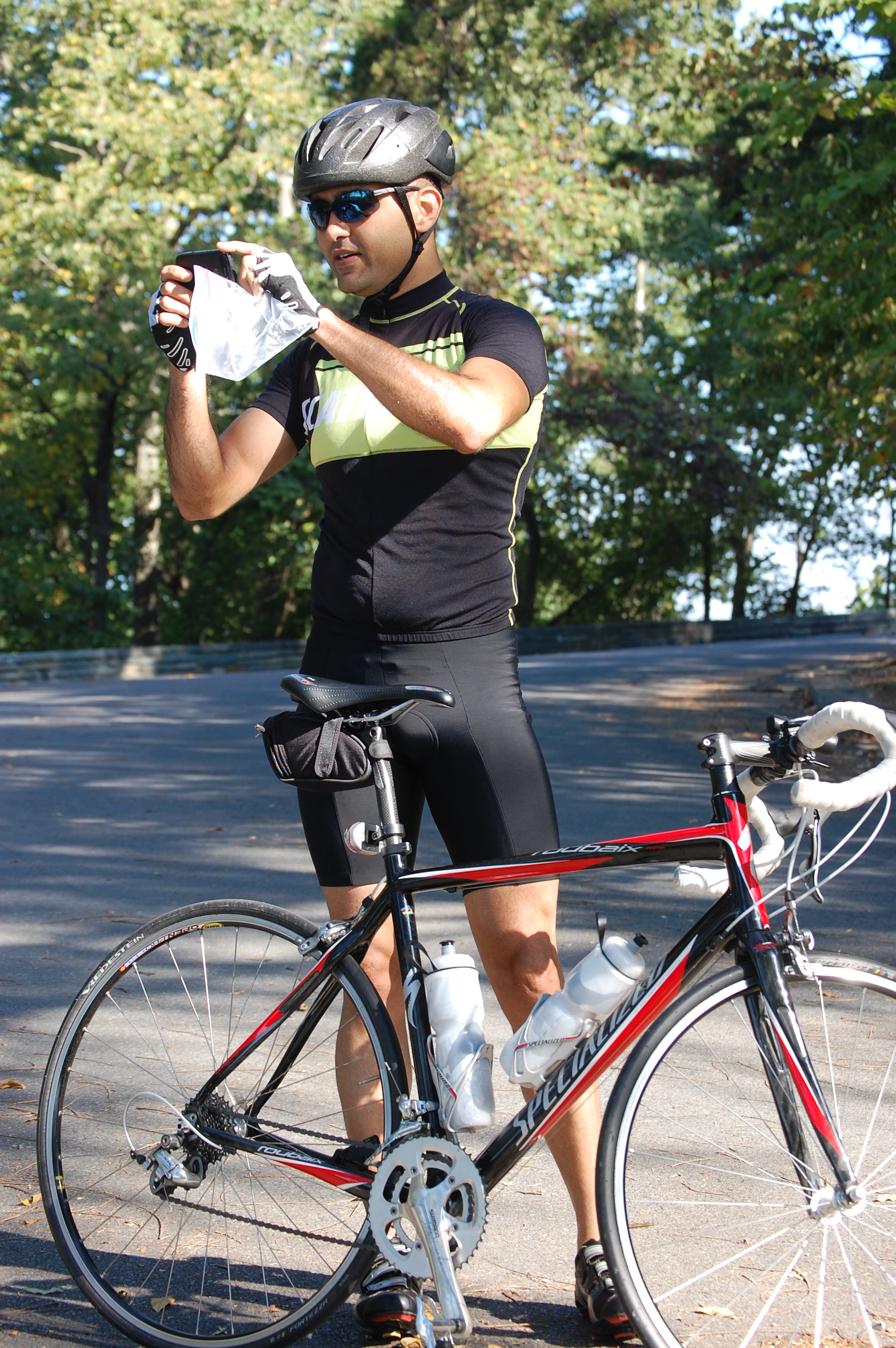
Capturing the Moment
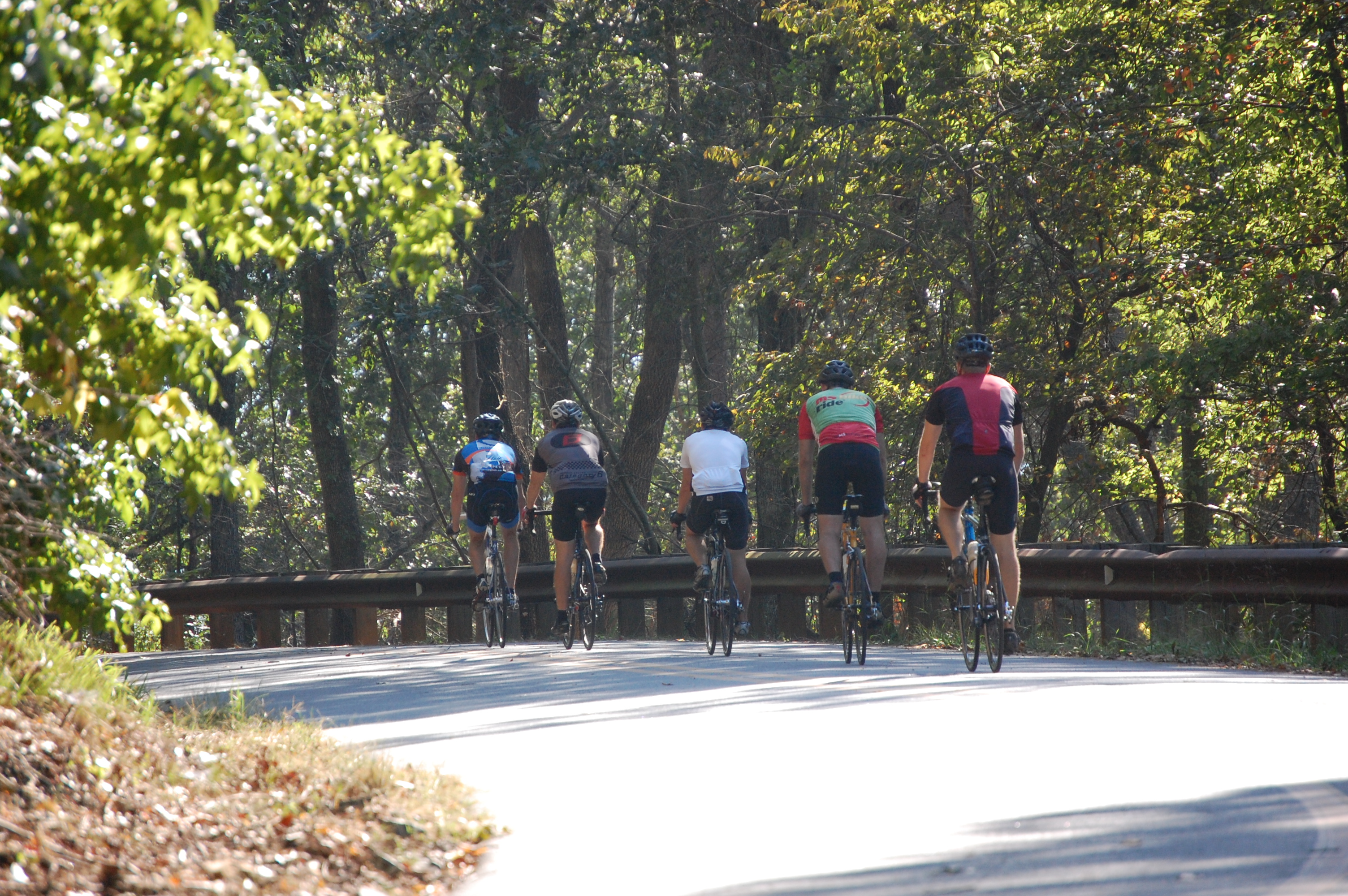
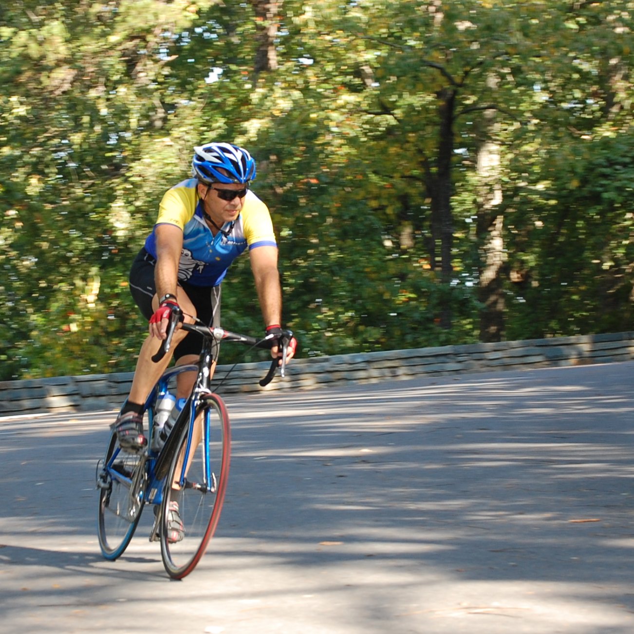
Heading for the summit waterbreak
Heading back down the mountain
Finally...at the top
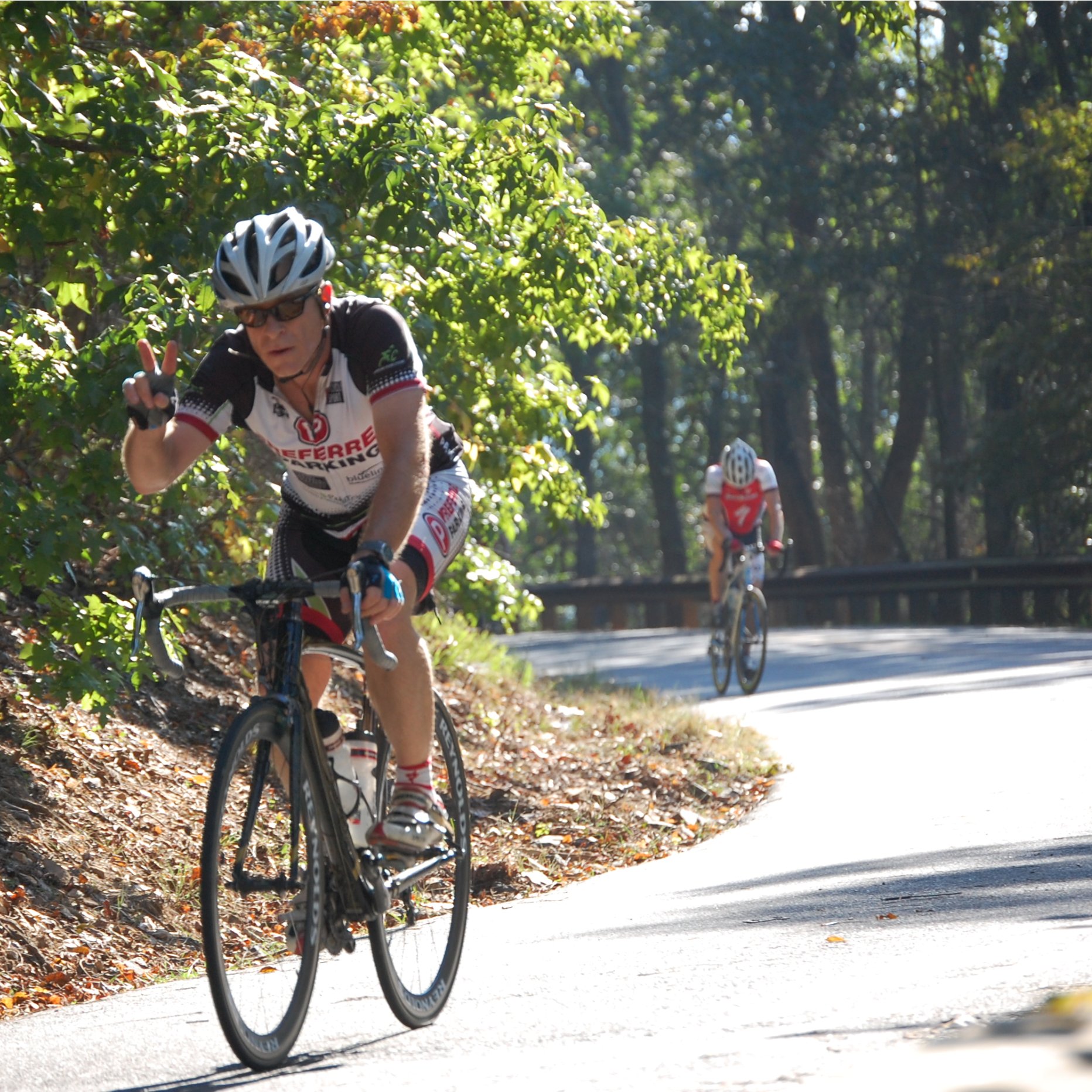
V for Victory !
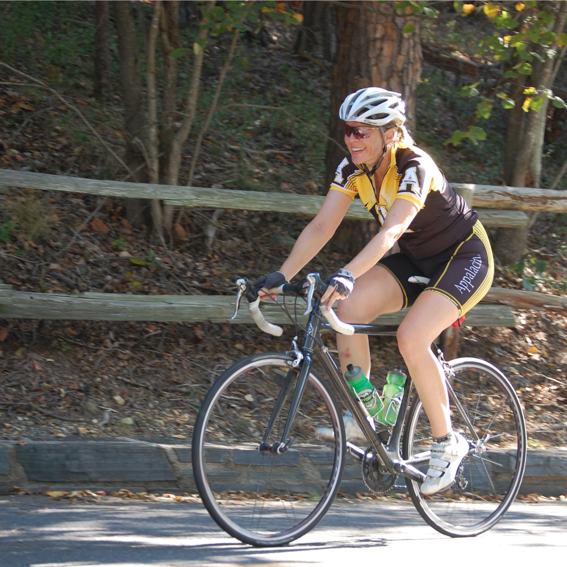
She has arrived!
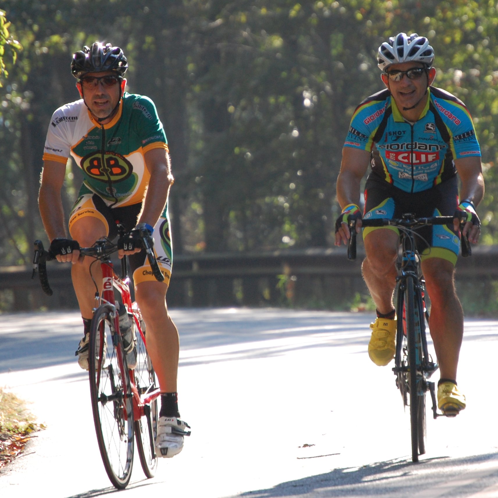
Arriving together
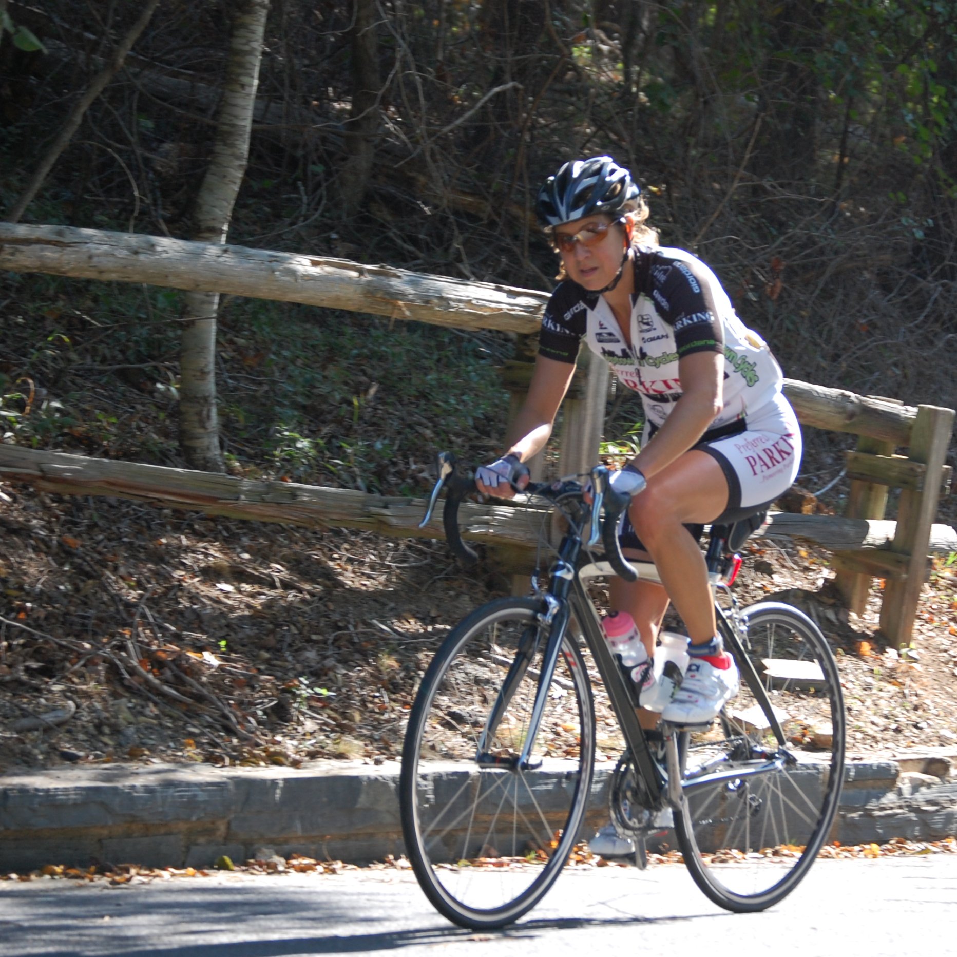
Beginning the descent
Heading into the descent
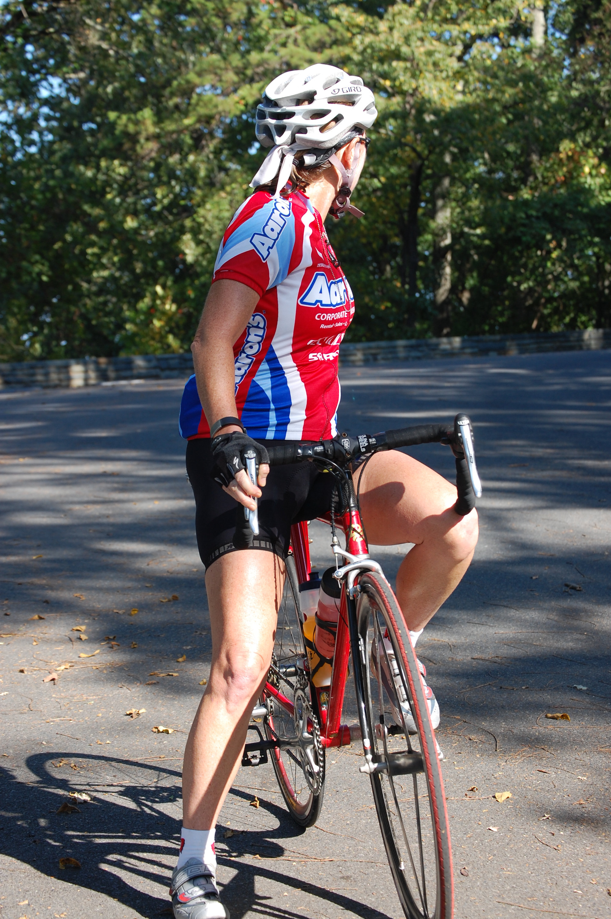
Taking a short break
Another arrival at the summit
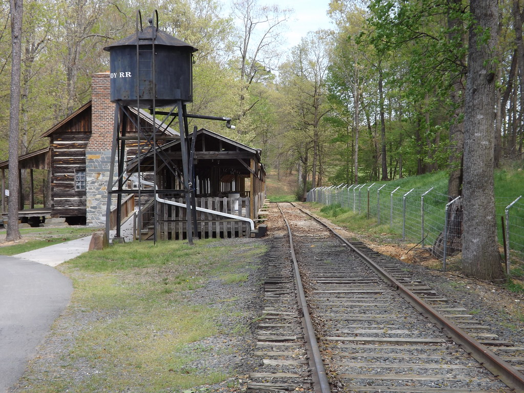
Quiet Station
View from the cliff above the waterfall

Another Look at the Tussock Caterpillar

Posing Mantis

Great Blue Heron
View from the cliff above the waterfall

DSC_0656 e 4x6
"It's so beautiful!"

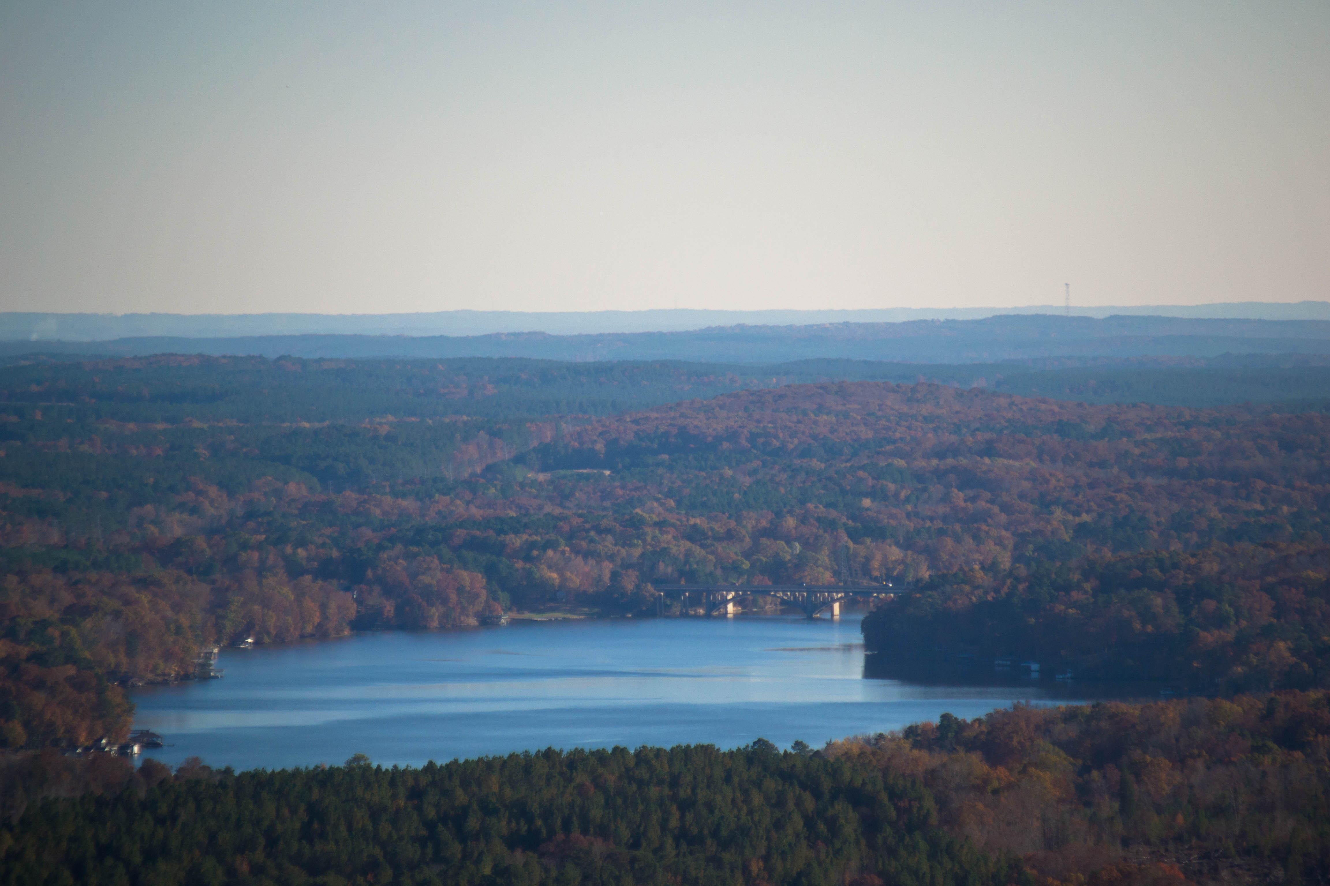
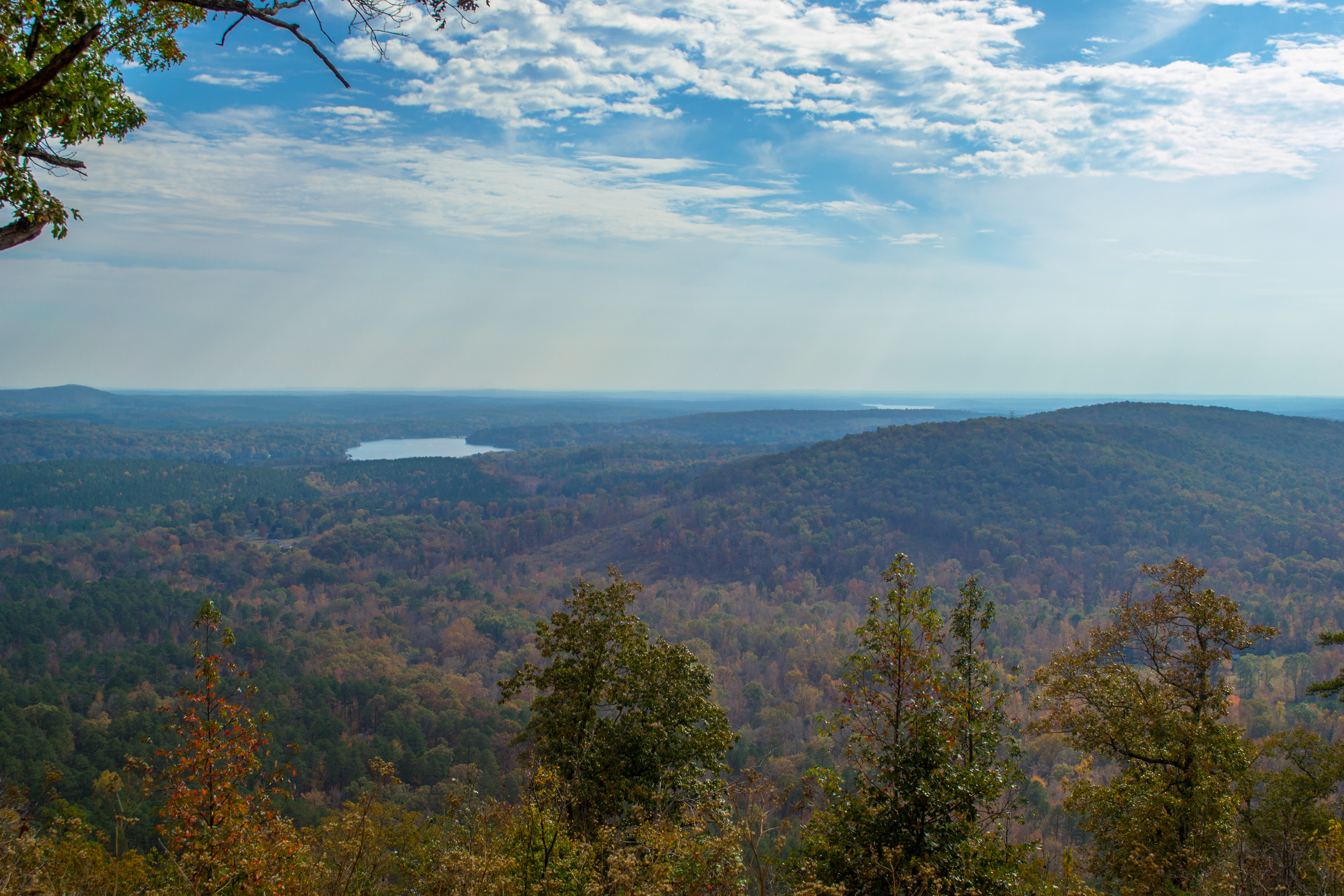
Lake Tillery from Woodrun DSC_2147 c e
Lake Tillery at Morrow Mountain State Park (2)
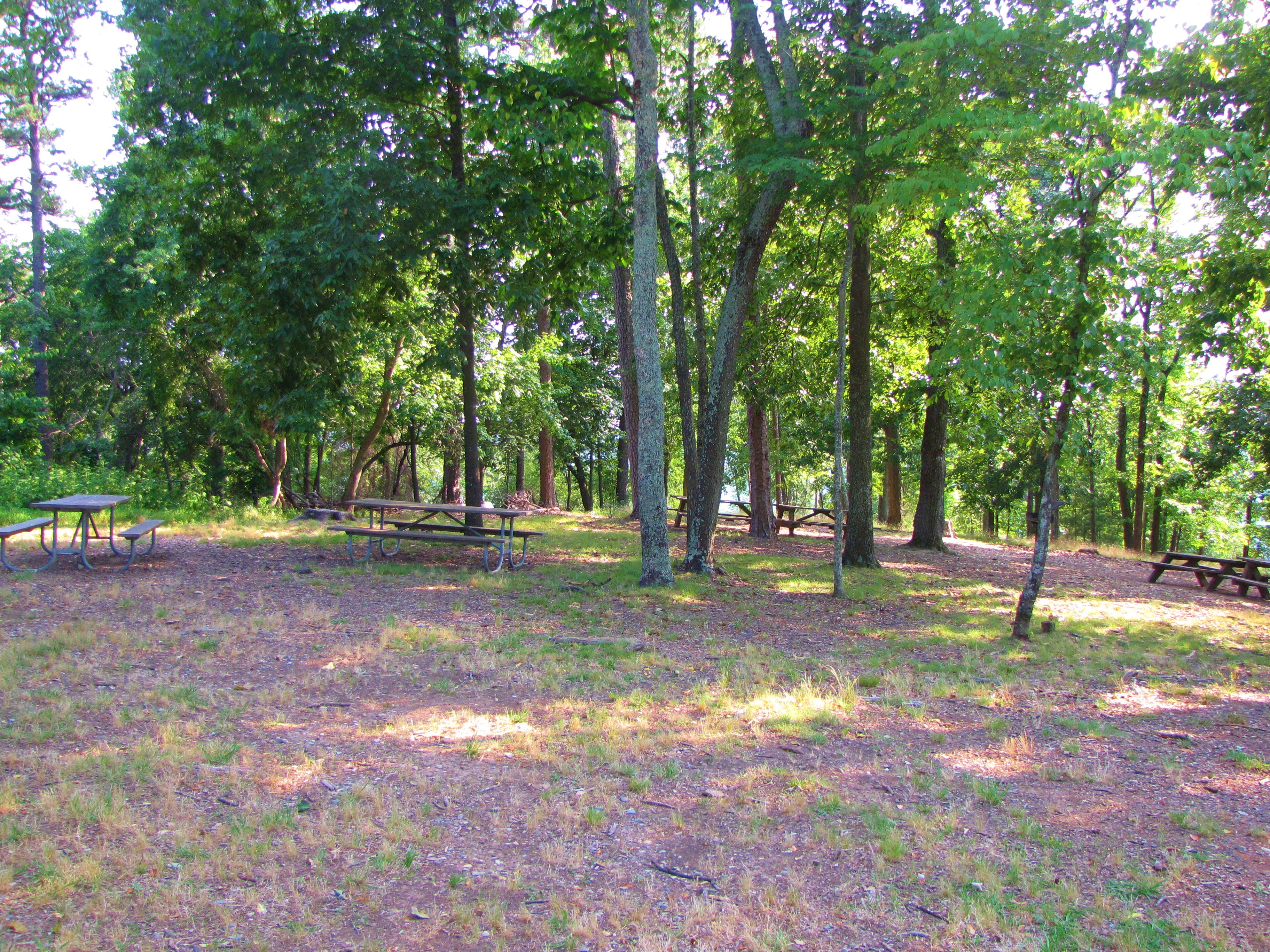
Morrow Mountain State Park picnic area (2)

Now that it's all over, what did you really do yesterday that's worth mentioning?

So this is why they call it #Supertree trail. #uwharrie

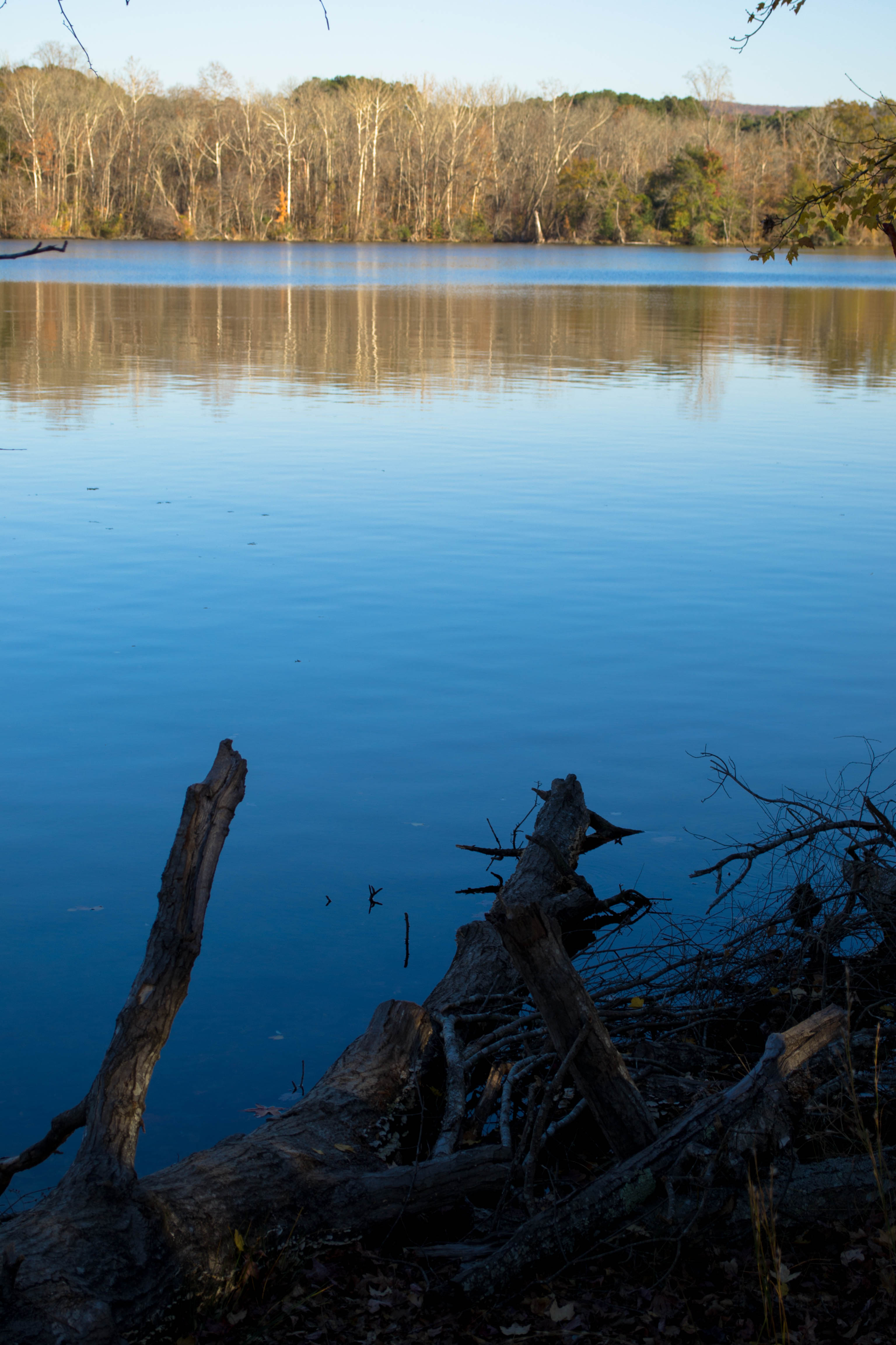
The lake from the campsite
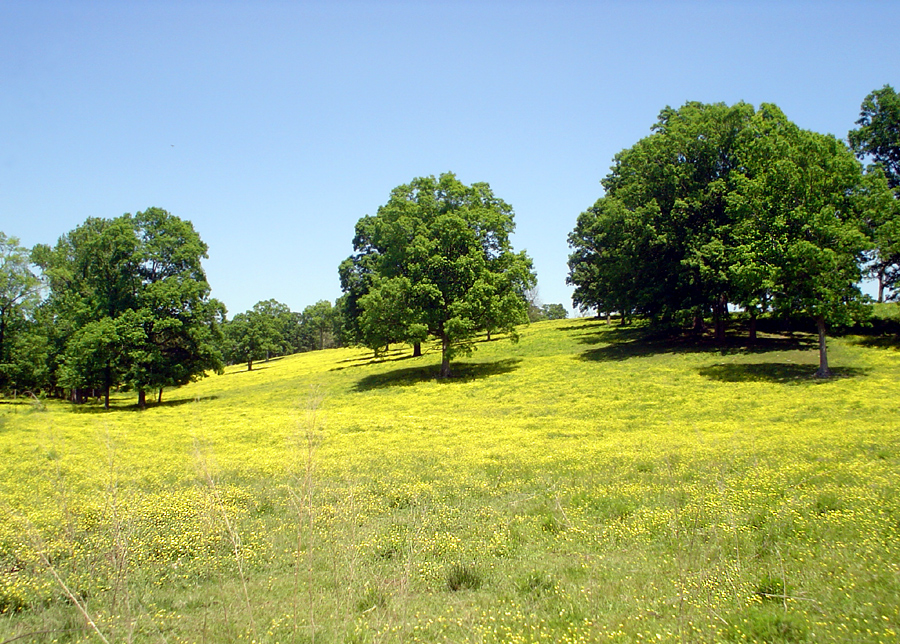
Yellow Field on McNeil Road

Rural NC

24-27 AT LAKE TILLERY BRIDGE

MORROW MT
20141115-DSC_4780
20141115-DSC_4781
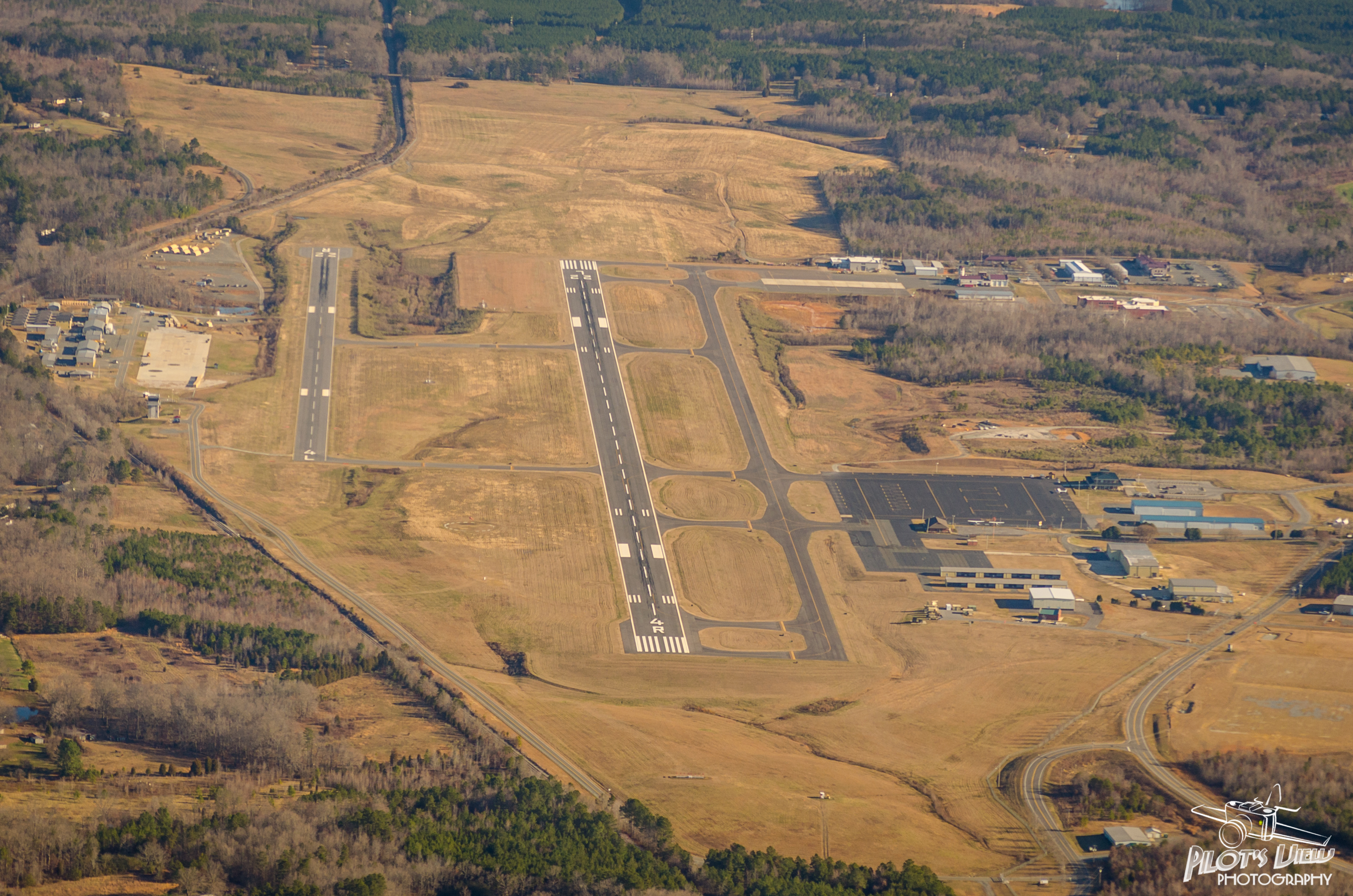
KVUJ Aerial PVP 2013-2

20141115-DSC_4731

20141115-DSC_4754
20141115-DSC_4818
Morrow Mt SP NC 1116

DCIM22[N3550574W07995182T3FC6433BH00EA8A]
20171106-DSC_1003

Flight of the Eagle
KVUJ Aerial PVP 2013-11
Topographic Map of BADIN LAKE CAMPGROUND, BADIN LAKE REC AREA ROAD, New London, NC, USA
Find elevation by address:

Places near BADIN LAKE CAMPGROUND, BADIN LAKE REC AREA ROAD, New London, NC, USA:
Eldorado
Palmerville Rd, New London, NC, USA
NC-, Troy, NC, USA
New London, NC, USA
Coggins Mine Rd, Troy, NC, USA
116 Meadowview Cir
713 Dennis Rd
42484 Moonshine Dr
Morrow Mountain Road
Sugarloaf Mountain
Morrow Mountain State Park
32843 Guard Rd
Guard Road
Pinelake Dr, Troy, NC, USA
30089 Keystone Dr
187 Low Water Bridge Rd
North Albemarle
Uwharrie
610 Thayer Rd
Marwood Ln, Albemarle, NC, USA
Recent Searches:
- Elevation of 62 Abbey St, Marshfield, MA, USA
- Elevation of Fernwood, Bradenton, FL, USA
- Elevation of Felindre, Swansea SA5 7LU, UK
- Elevation of Leyte Industrial Development Estate, Isabel, Leyte, Philippines
- Elevation of W Granada St, Tampa, FL, USA
- Elevation of Pykes Down, Ivybridge PL21 0BY, UK
- Elevation of Jalan Senandin, Lutong, Miri, Sarawak, Malaysia
- Elevation of Bilohirs'k
- Elevation of 30 Oak Lawn Dr, Barkhamsted, CT, USA
- Elevation of Luther Road, Luther Rd, Auburn, CA, USA