Elevation of Deep Creek Rd, Vernal, UT, USA
Location: United States > Utah > Uintah County > Vernal >
Longitude: -109.69114
Latitude: 40.5598249
Elevation: 2044m / 6706feet
Barometric Pressure: 79KPa
Elevation Map:
Satellite Map:
Related Photos:
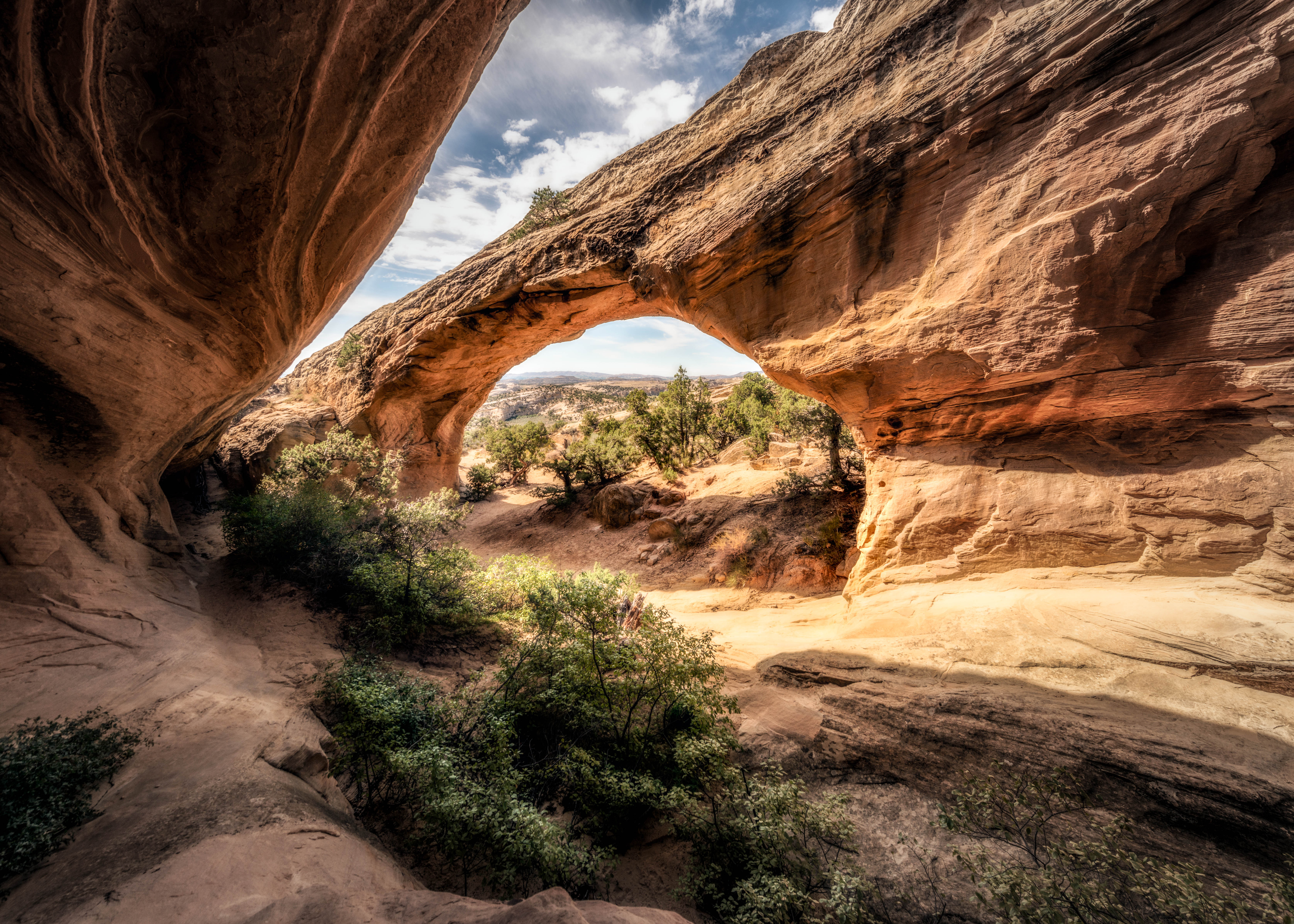
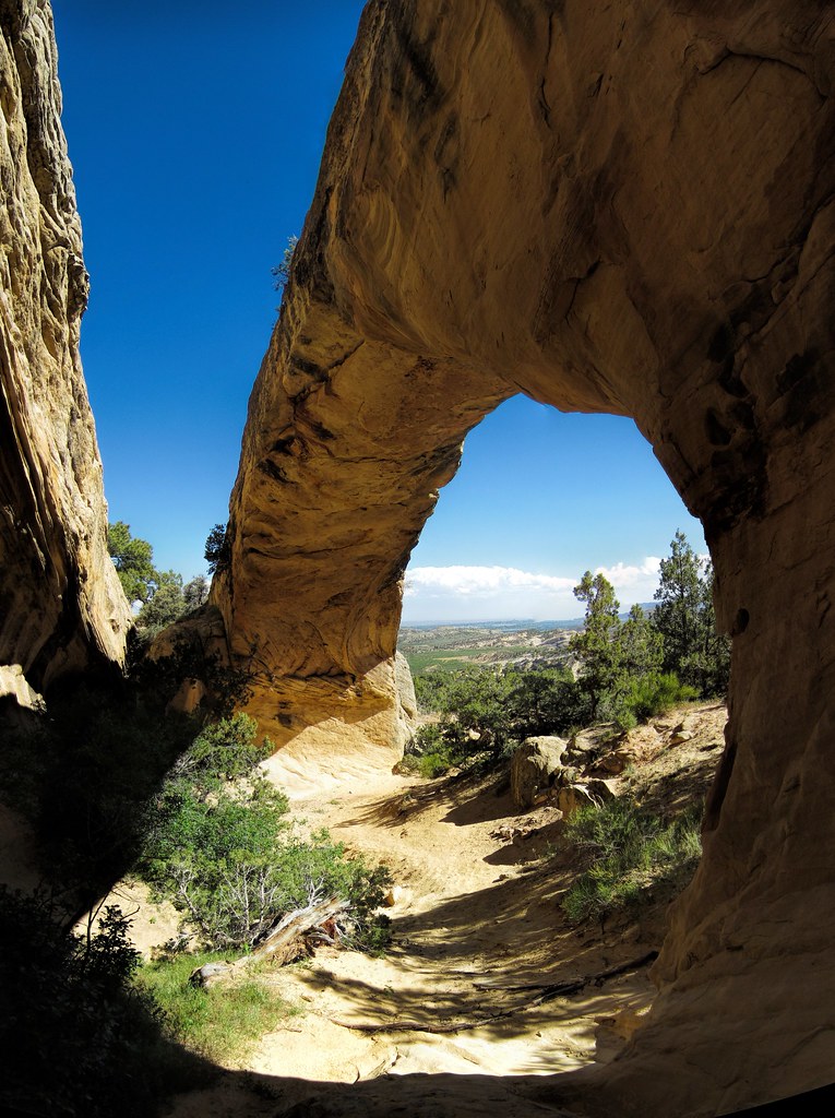
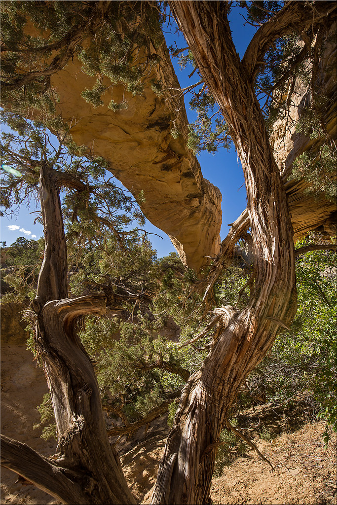
Moonshine Arch
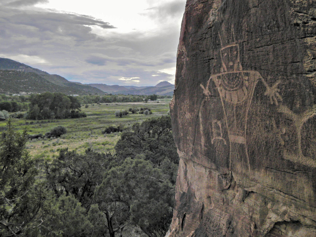
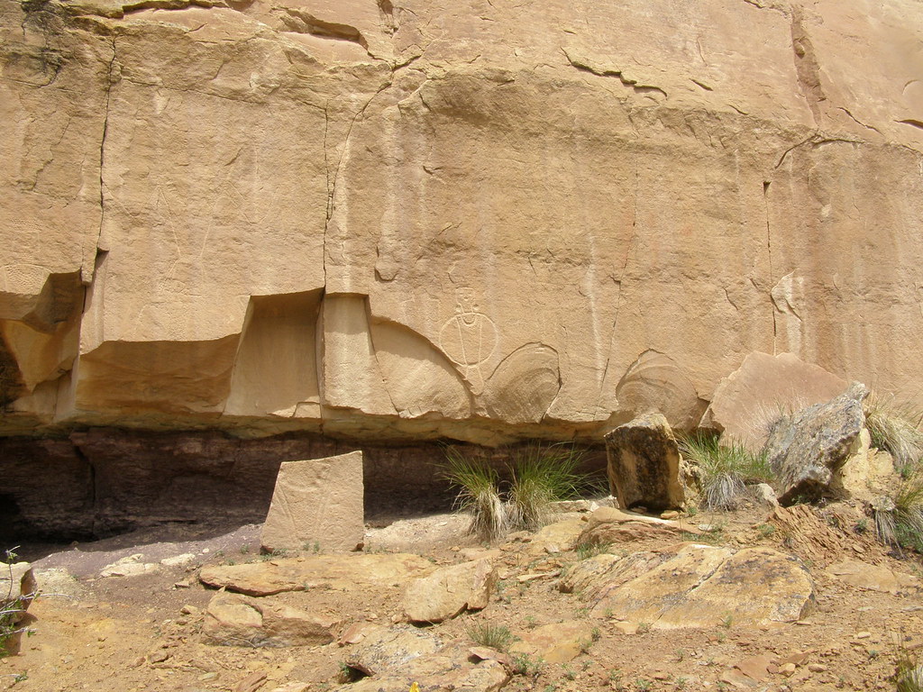
McConkie Ranch
A-0300
A-0302
through moonshine
A-0301
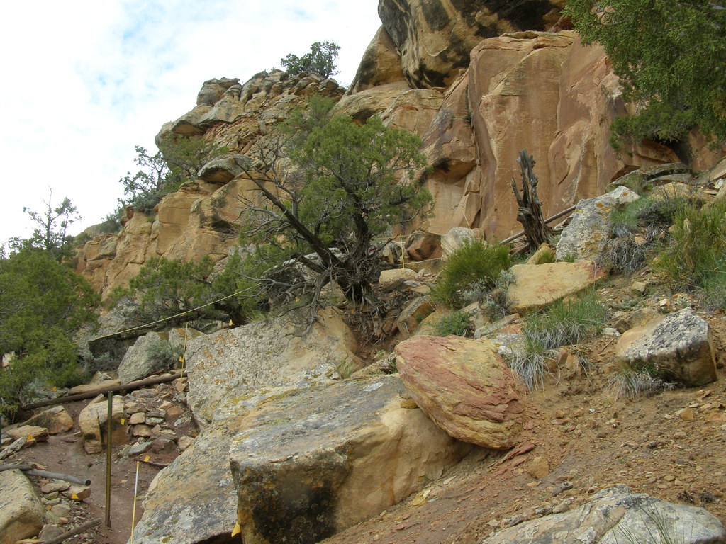
Dry Creek Canyon

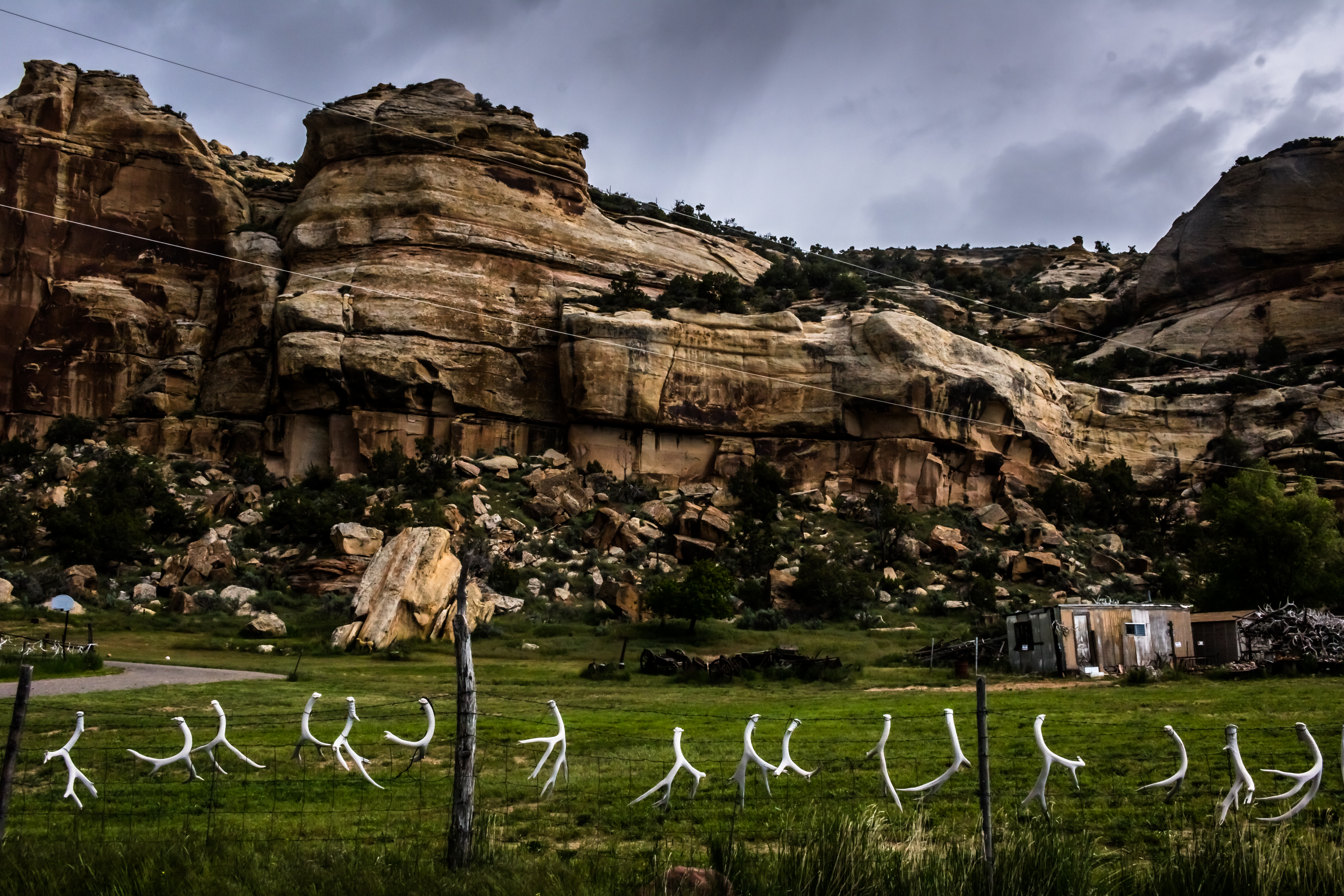
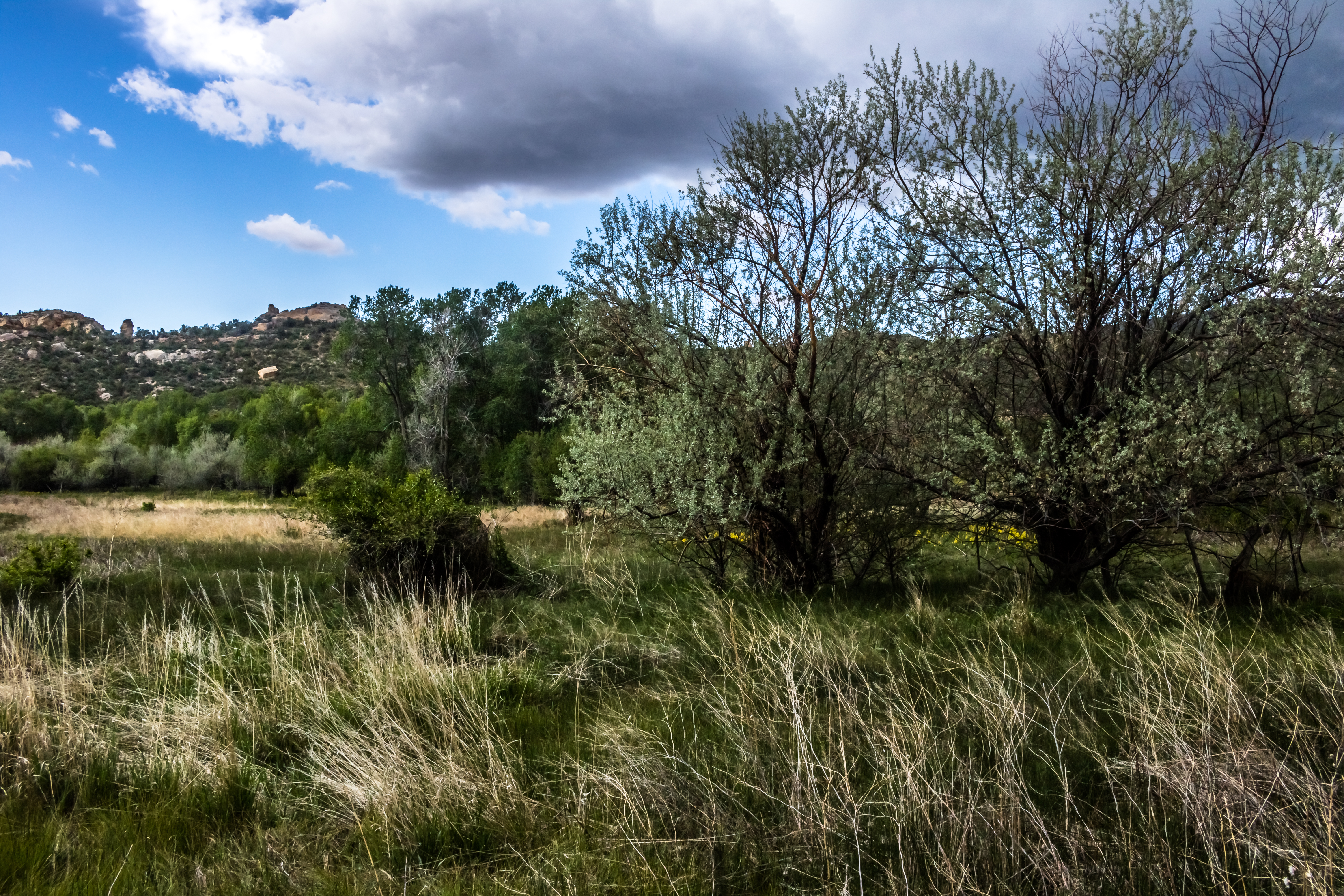
Dry Fork Canyon. Uintah County, Utah

Red Cloud Loop. Ashley National Forest, Utah. November
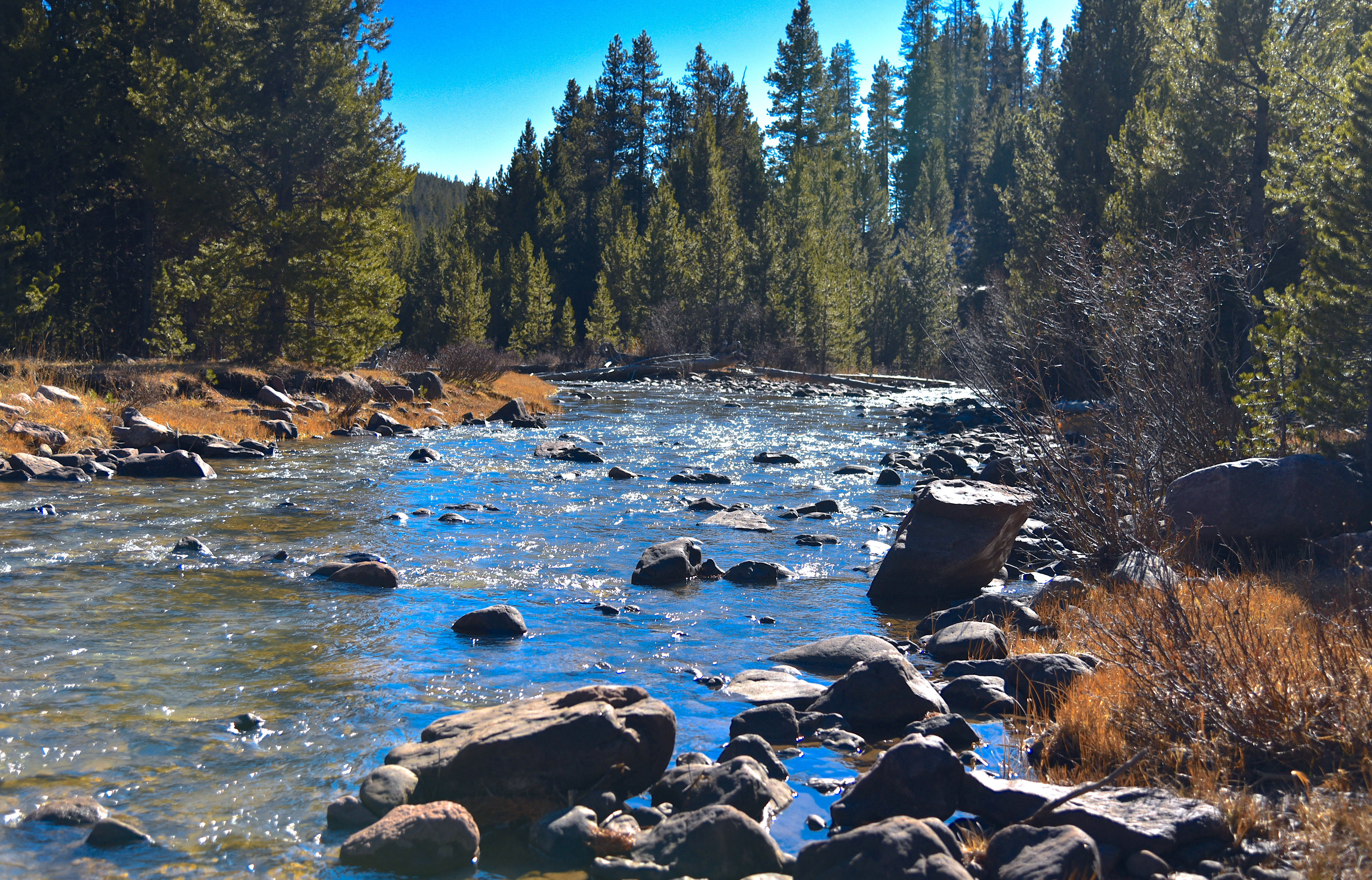
Red Cloud Loop. Ashley National Forest, Utah. November
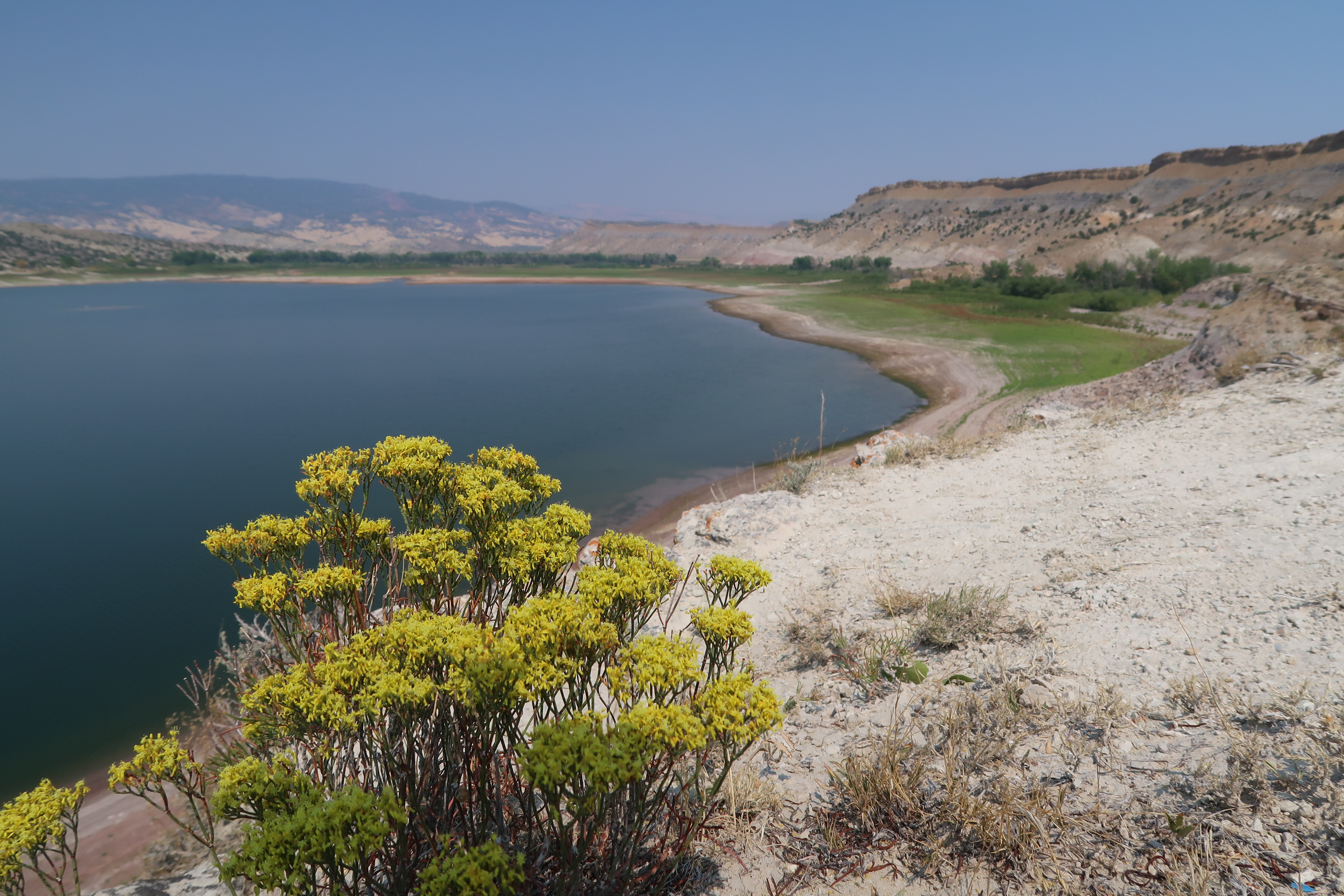
Steinaker Reservoir

Independence Pass lake

New photo added to gallery
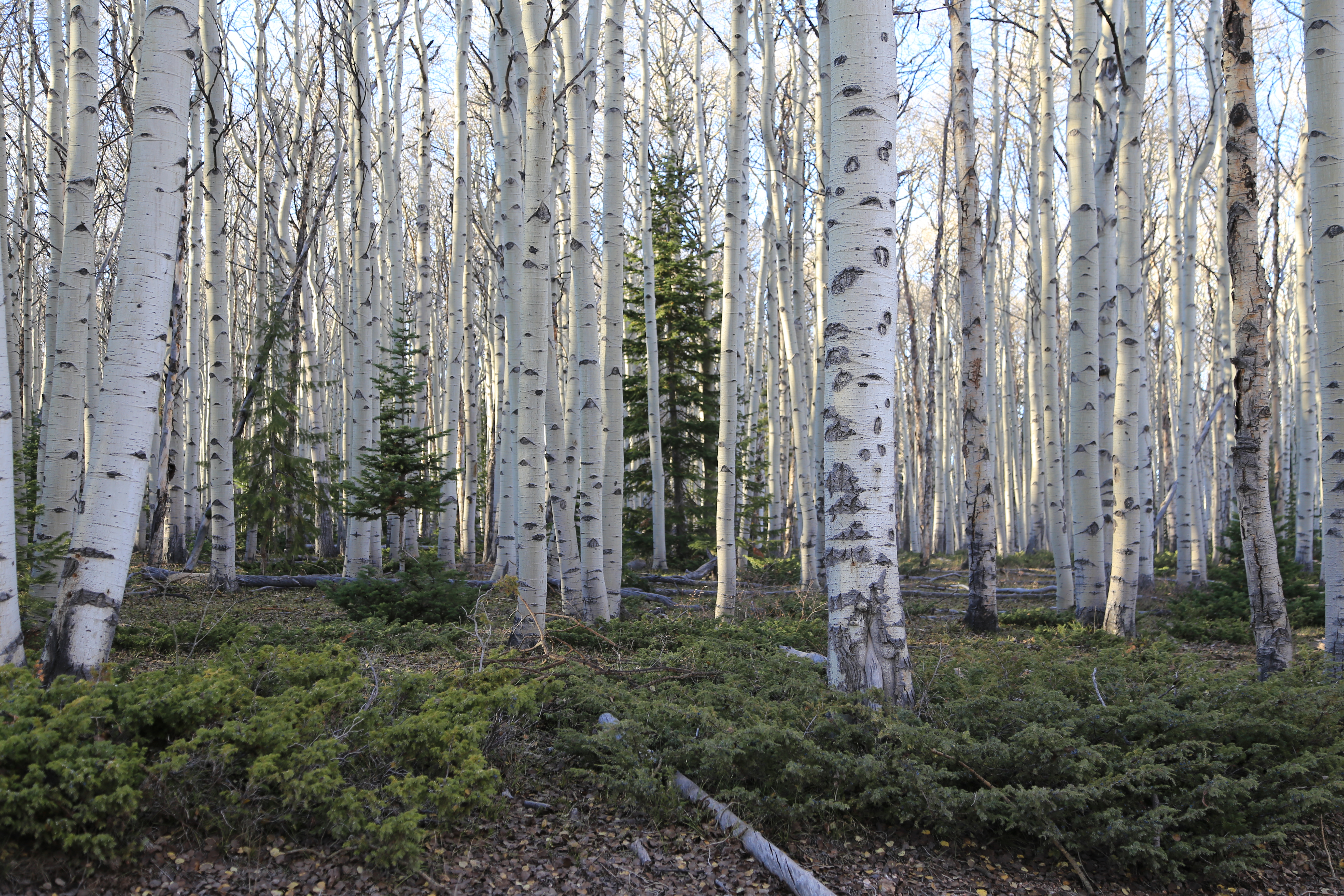
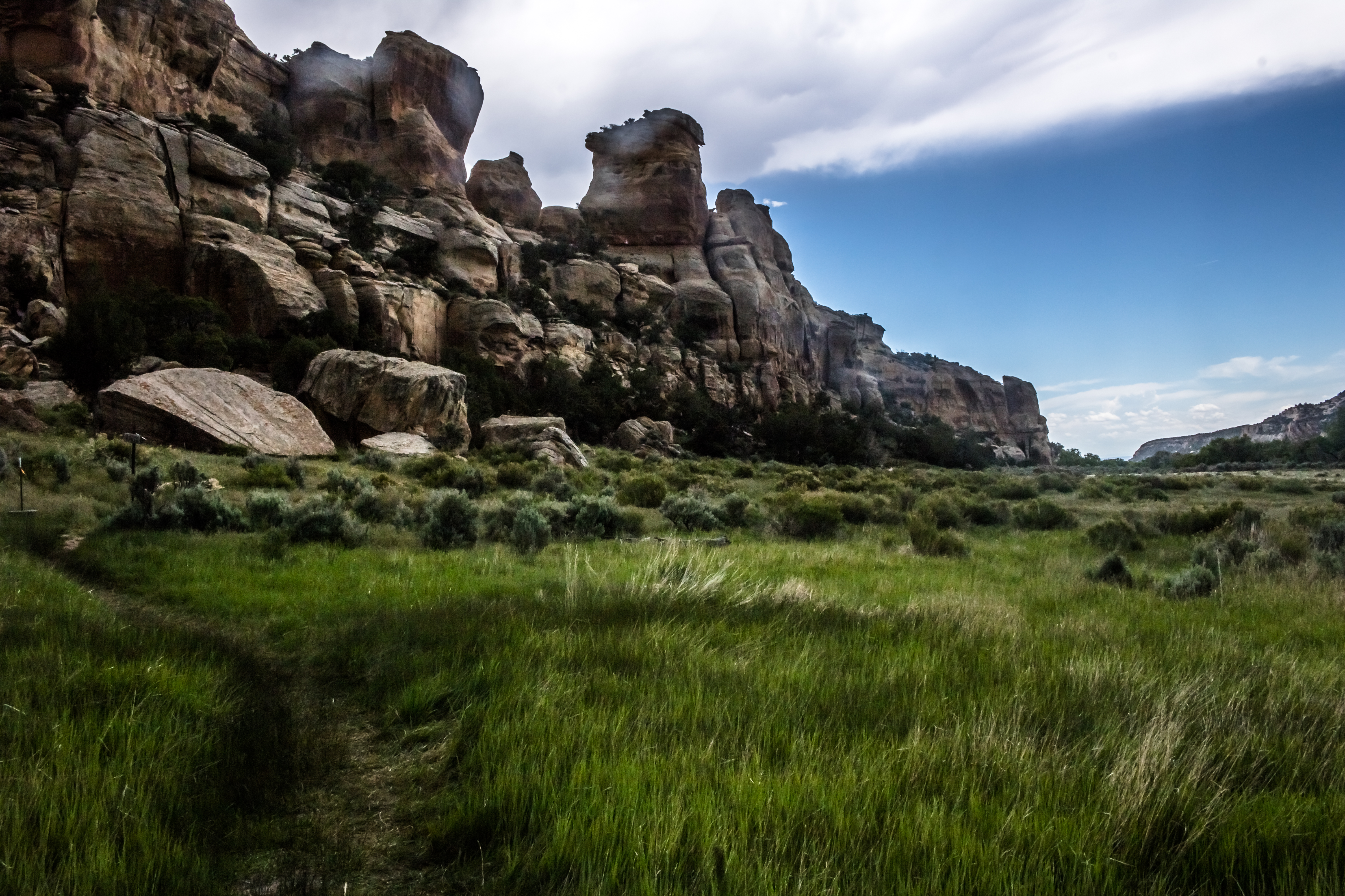
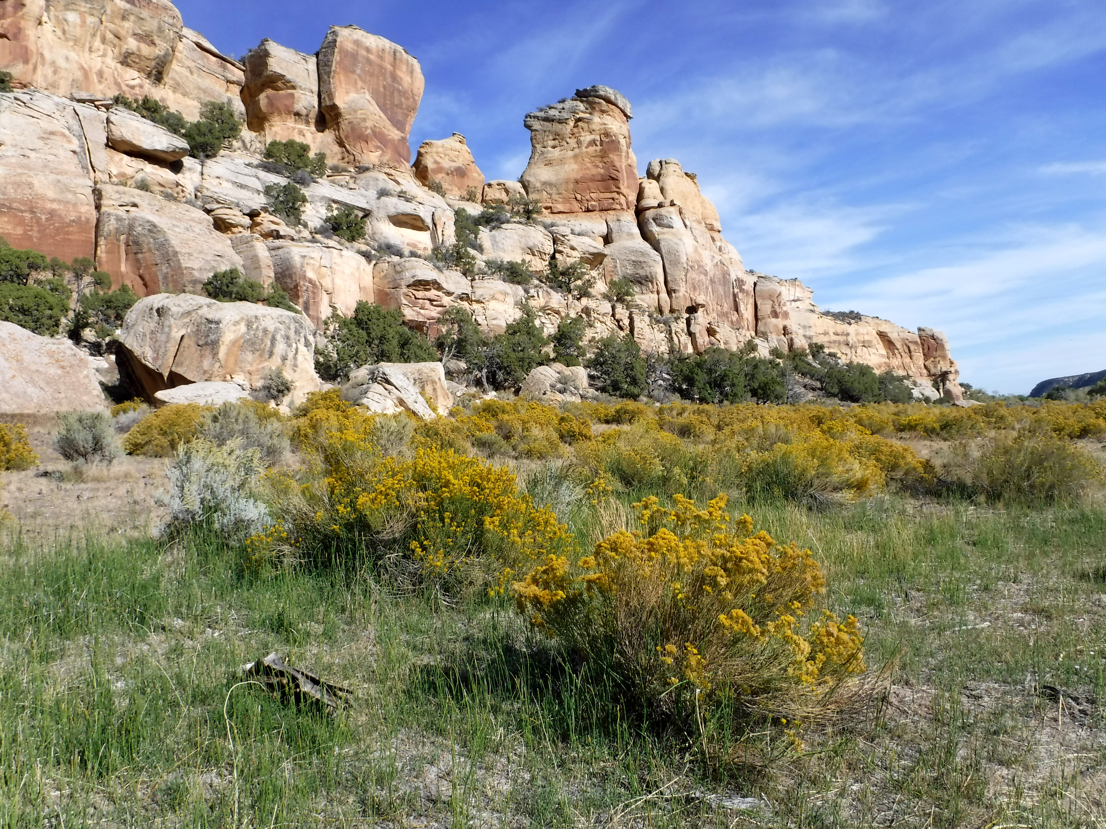
Ashley National Forest, Uintah County, Utah
Moonshine arch
Dry Fork Canyon, UT

Steinaker Reservoir
Dry Fork Canyon, UT

Ashley National Forest, Uintah County, Utah
Topographic Map of Deep Creek Rd, Vernal, UT, USA
Find elevation by address:

Places near Deep Creek Rd, Vernal, UT, USA:
Lapoint
Lapoint Elementary School
3000 East
Whiterocks
E N, Whiterocks, UT, USA
Ouray, UT, USA
2854 1000 N
Neola
Ballard
Roosevelt
E S, Roosevelt, UT, USA
2243 W 280 S
E Main St, Myton, UT, USA
Myton
1500 South
Bluebell
Kings Peak
Duchesne County
6570 S 37280 W
Helen Lake
Recent Searches:
- Elevation of Laurel Rd, Townsend, TN, USA
- Elevation of 3 Nestling Wood Dr, Long Valley, NJ, USA
- Elevation of Ilungu, Tanzania
- Elevation of Yellow Springs Road, Yellow Springs Rd, Chester Springs, PA, USA
- Elevation of Rēzekne Municipality, Latvia
- Elevation of Plikpūrmaļi, Vērēmi Parish, Rēzekne Municipality, LV-, Latvia
- Elevation of 2 Henschke Ct, Caboolture QLD, Australia
- Elevation of Redondo Ave, Long Beach, CA, USA
- Elevation of Sadovaya Ulitsa, 20, Rezh, Sverdlovskaya oblast', Russia
- Elevation of Ulitsa Kalinina, 79, Rezh, Sverdlovskaya oblast', Russia