Elevation of East, E, Vernal, UT, USA
Location: United States > Utah > Uintah County > Whiterocks >
Longitude: -109.94481
Latitude: 40.5374484
Elevation: 2038m / 6686feet
Barometric Pressure: 79KPa
Elevation Map:
Satellite Map:
Related Photos:
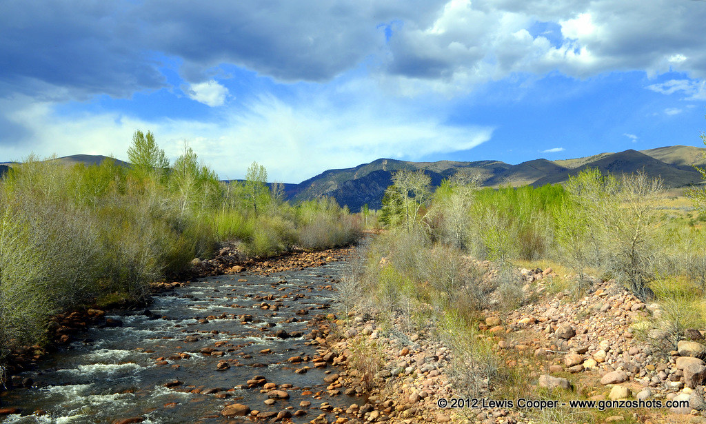
Whiterocks River
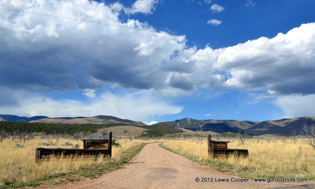
Joe and Linda's
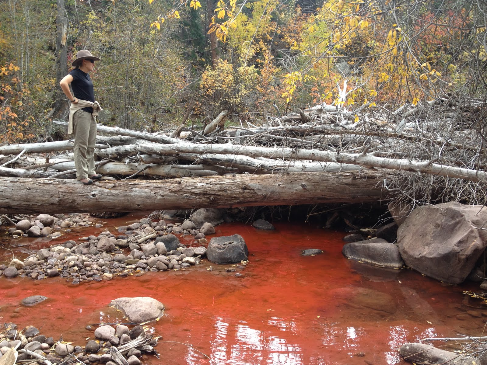
DyeStudy1 002
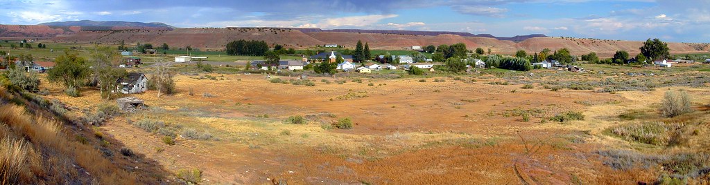
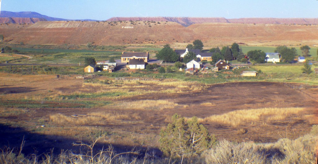
Tridell Utah Panorama, 2001

Abandonded House in Tridell, Utah
Tridell, Utah, 1974

New photo added to gallery

New photo added to gallery

New photo added to gallery

New photo added to gallery

New photo added to gallery

New photo added to gallery

New photo added to gallery

New photo added to gallery

New photo added to gallery

New photo added to gallery

New photo added to gallery

New photo added to gallery

New photo added to gallery

New photo added to gallery

New photo added to gallery

New photo added to gallery

New photo added to gallery

New photo added to gallery

New photo added to gallery

New photo added to gallery
Topographic Map of East, E, Vernal, UT, USA
Find elevation by address:

Places near East, E, Vernal, UT, USA:
Whiterocks
Neola
E N, Whiterocks, UT, USA
Lapoint Elementary School
Lapoint
2854 1000 N
Ouray, UT, USA
Roosevelt
Ballard
8498 Deep Creek Rd
2243 W 280 S
E S, Roosevelt, UT, USA
1500 South
Bluebell
E Main St, Myton, UT, USA
Myton
Kings Peak
Duchesne County
6570 S 37280 W
Helen Lake
Recent Searches:
- Elevation of Holloway Ave, San Francisco, CA, USA
- Elevation of Norfolk, NY, USA
- Elevation of - San Marcos Pass Rd, Santa Barbara, CA, USA
- Elevation of th Pl SE, Issaquah, WA, USA
- Elevation of 82- D Rd, Captain Cook, HI, USA
- Elevation of Harlow CM20 2PR, UK
- Elevation of Shenyang Agricultural University, Dong Ling Lu, Shen He Qu, Shen Yang Shi, Liao Ning Sheng, China
- Elevation of Alpha Dr, Melbourne, FL, USA
- Elevation of Hiroshima University, 1-chōme-3-2 Kagamiyama, Higashihiroshima, Hiroshima -, Japan
- Elevation of Bernina Dr, Lake Arrowhead, CA, USA