Elevation of Whiterocks, UT, USA
Location: United States > Utah > Uintah County >
Longitude: -109.93070
Latitude: 40.4680114
Elevation: 1838m / 6030feet
Barometric Pressure: 81KPa
Elevation Map:
Satellite Map:
Related Photos:
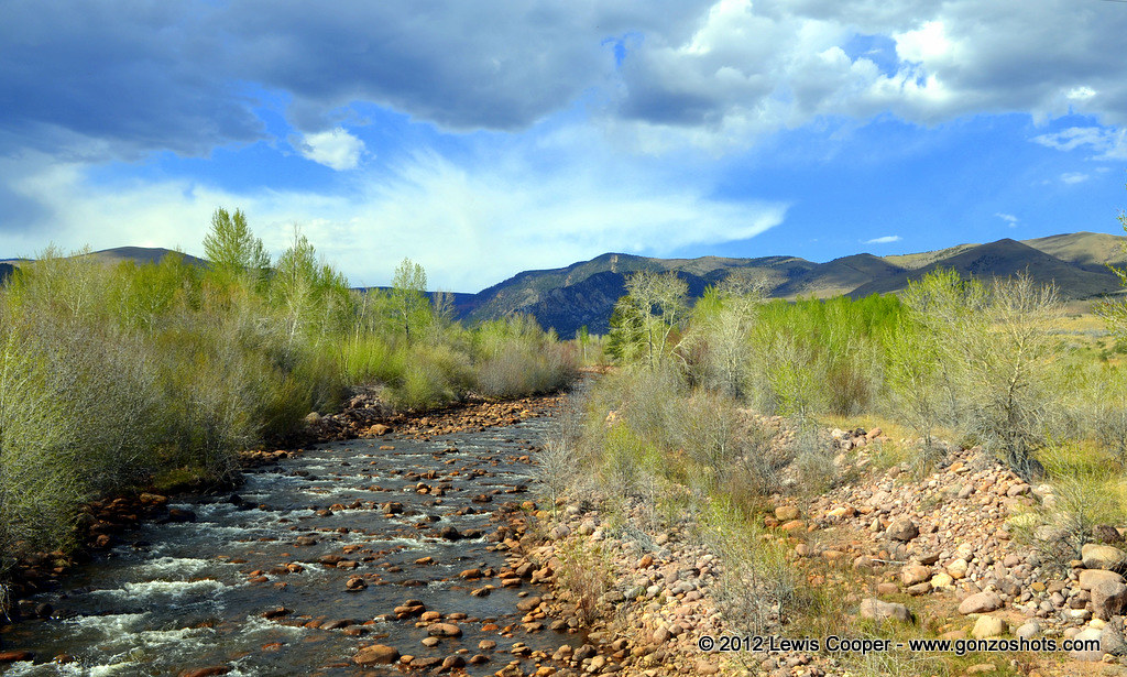
Whiterocks River
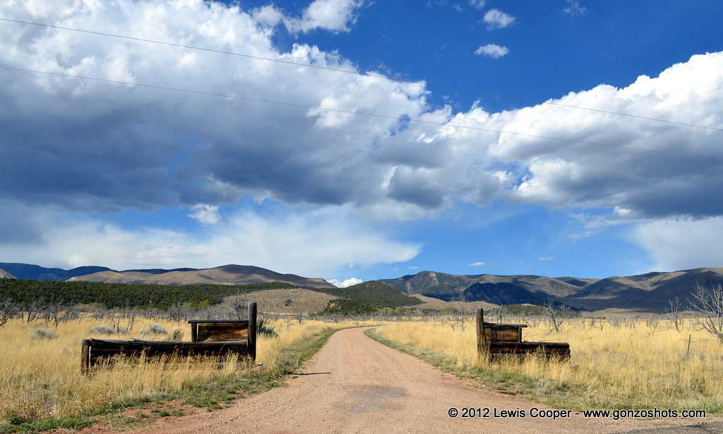
Joe and Linda's
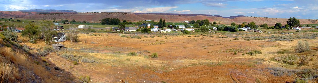
Tridell Utah Panorama, 2001

Abandonded House in Tridell, Utah
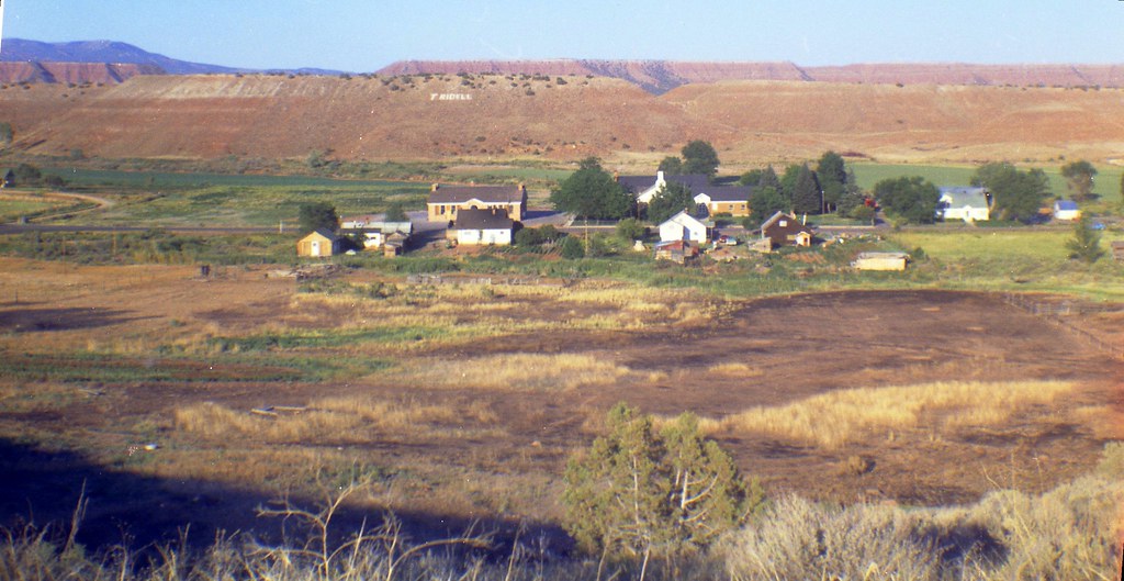
Tridell, Utah, 1974

New photo added to gallery

New photo added to gallery

New photo added to gallery

New photo added to gallery

New photo added to gallery

New photo added to gallery

New photo added to gallery

New photo added to gallery

New photo added to gallery

New photo added to gallery

New photo added to gallery

New photo added to gallery

New photo added to gallery

New photo added to gallery

New photo added to gallery

New photo added to gallery

New photo added to gallery

New photo added to gallery

New photo added to gallery

New photo added to gallery

New photo added to gallery
Topographic Map of Whiterocks, UT, USA
Find elevation by address:

Places in Whiterocks, UT, USA:
Places near Whiterocks, UT, USA:
3000 East
E N, Whiterocks, UT, USA
Neola
Lapoint Elementary School
Lapoint
2854 1000 N
Ouray, UT, USA
Roosevelt
Ballard
2243 W 280 S
E S, Roosevelt, UT, USA
8498 Deep Creek Rd
1500 South
E Main St, Myton, UT, USA
Myton
Bluebell
Kings Peak
Duchesne County
6570 S 37280 W
Hanna
Recent Searches:
- Elevation of Rojo Ct, Atascadero, CA, USA
- Elevation of Flagstaff Drive, Flagstaff Dr, North Carolina, USA
- Elevation of Avery Ln, Lakeland, FL, USA
- Elevation of Woolwine, VA, USA
- Elevation of Lumagwas Diversified Farmers Multi-Purpose Cooperative, Lumagwas, Adtuyon, RV32+MH7, Pangantucan, Bukidnon, Philippines
- Elevation of Homestead Ridge, New Braunfels, TX, USA
- Elevation of Orchard Road, Orchard Rd, Marlborough, NY, USA
- Elevation of 12 Hutchinson Woods Dr, Fletcher, NC, USA
- Elevation of Holloway Ave, San Francisco, CA, USA
- Elevation of Norfolk, NY, USA