Elevation of Vernal, UT, USA
Location: United States > Utah > Uintah County >
Longitude: -109.52874
Latitude: 40.4555157
Elevation: 1624m / 5328feet
Barometric Pressure: 83KPa
Elevation Map:
Satellite Map:
Related Photos:

Dine-A-Ville Motel (1993)
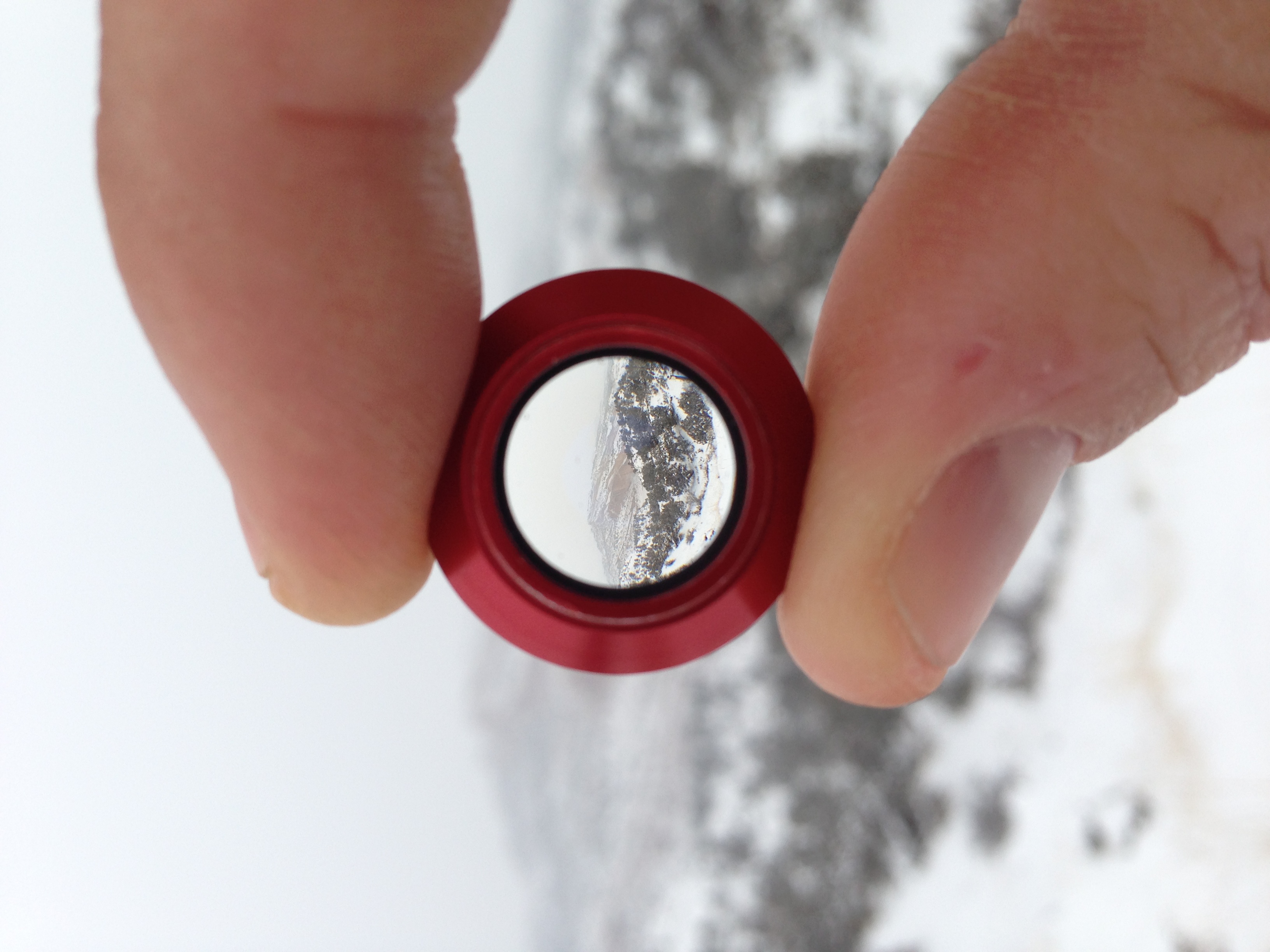
Olloclip view
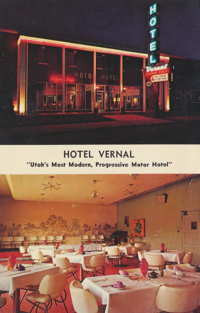
Hotel Vernal - Vernal, Utah
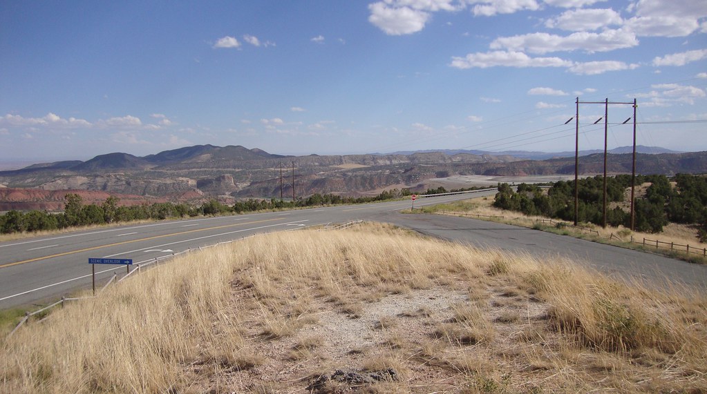
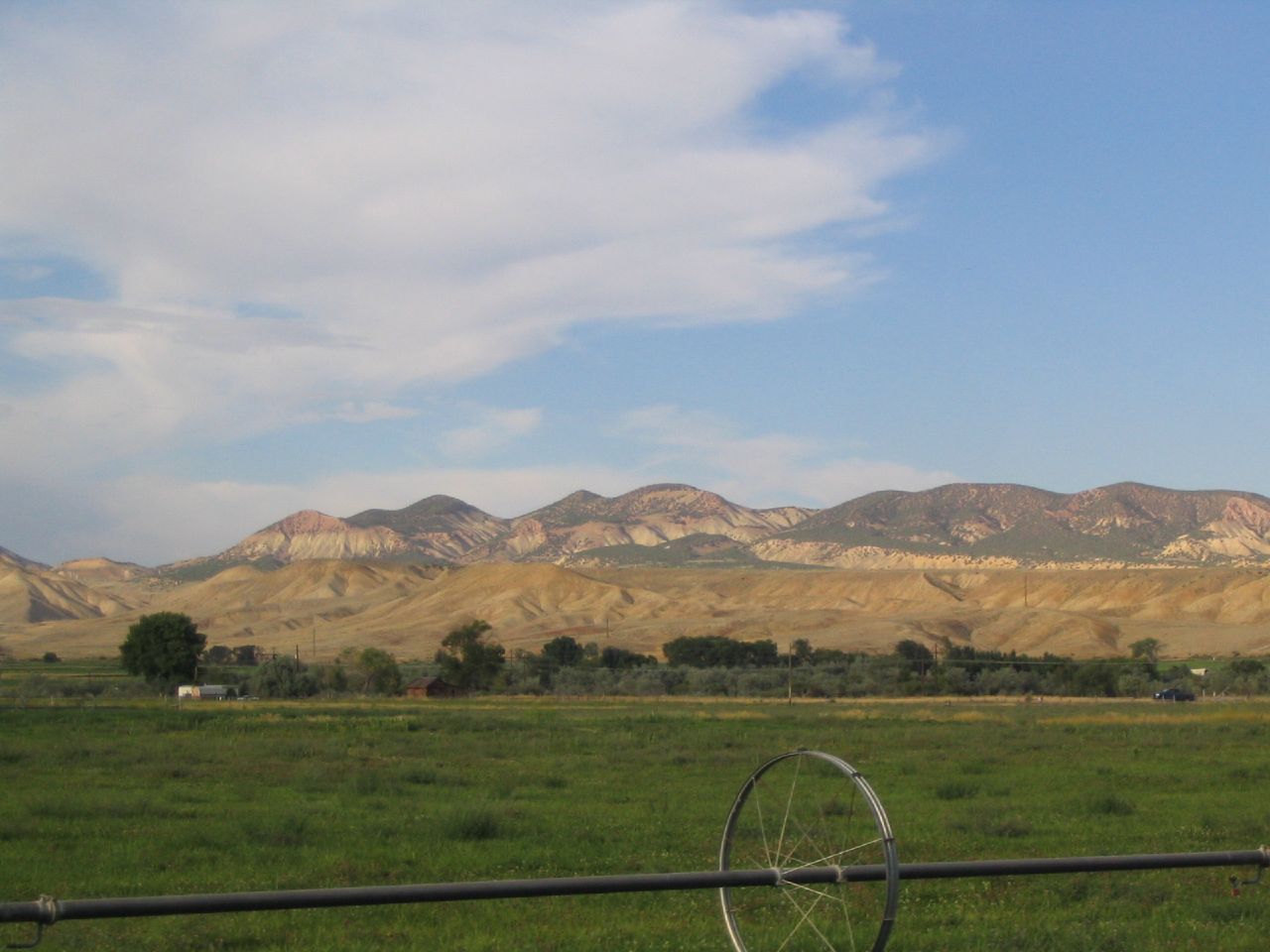
Ashley Valley Scenic View (Uintah County, Utah)

Ashley Valley Scenic View (Uintah County, Utah)

Vernal and Ashley Valley Scenic View Marker (Uintah County, Utah)
Ashley Valley Scenic View (Uintah County, Utah)
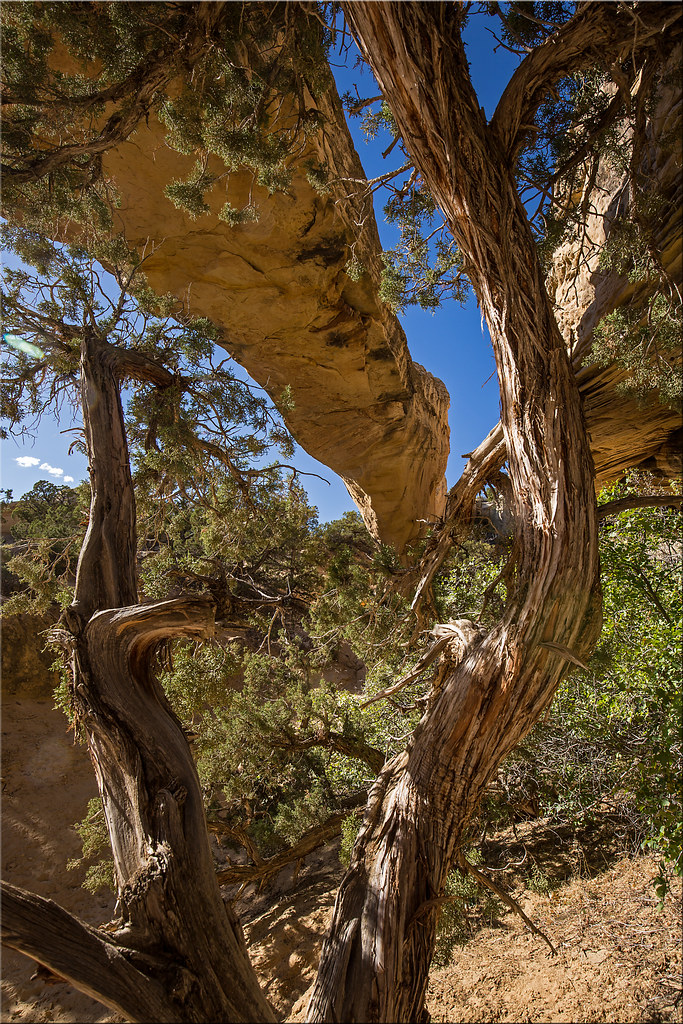
Moonshine arch

2012-ROADTRIP4-Sunrise Utah3
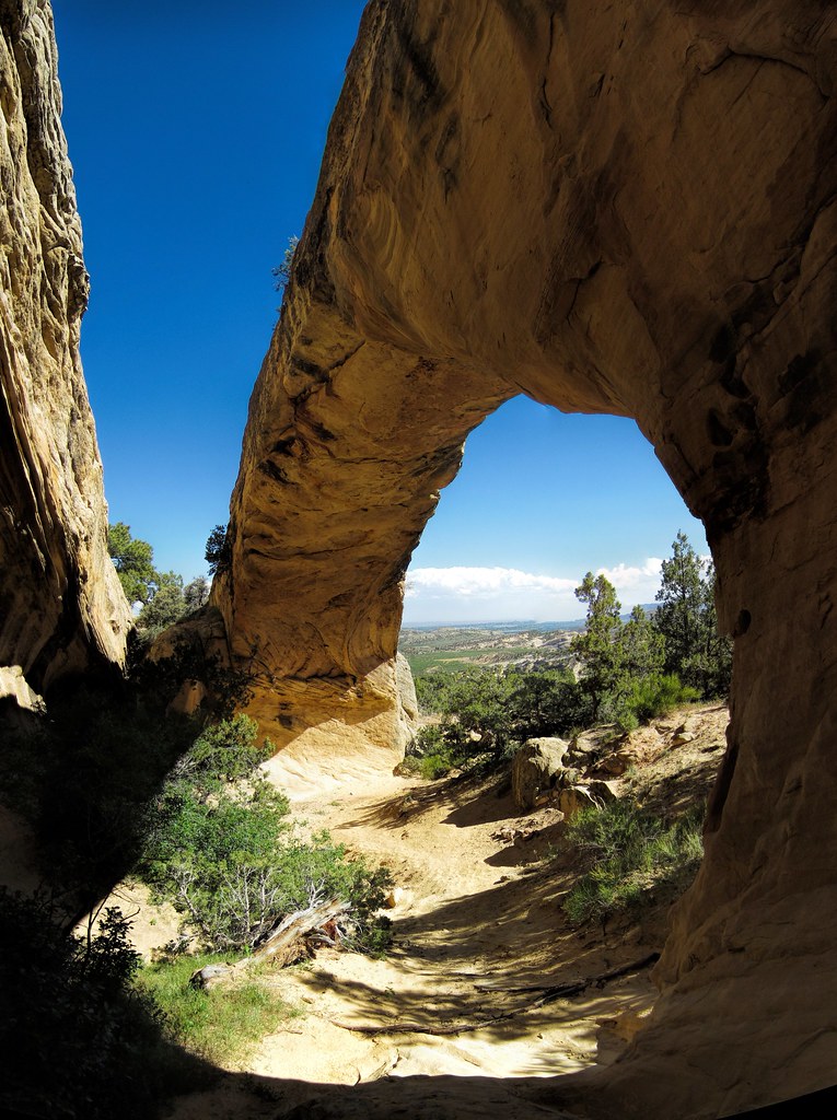
through moonshine
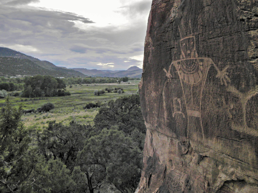
McConkie Ranch

Independence Pass lake
Photo hunting

My Favorite Plane
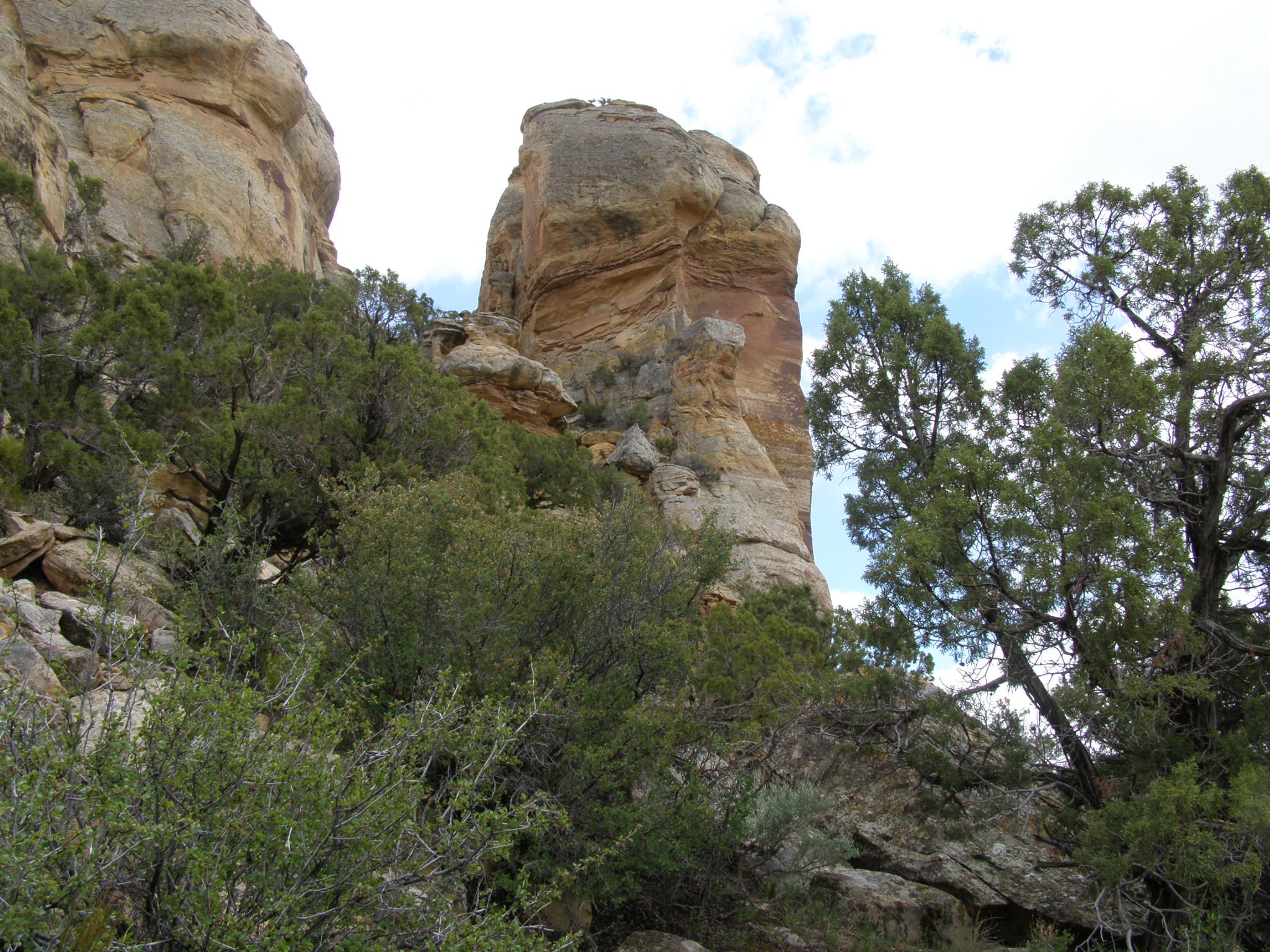
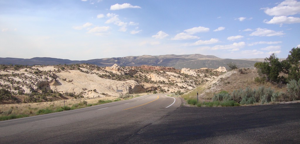
Dry Fork Canyon, UT

Dry Fork Canyon. Outside of Vernal, Utah.
Alicias Grandparents House, Vernal, Utah
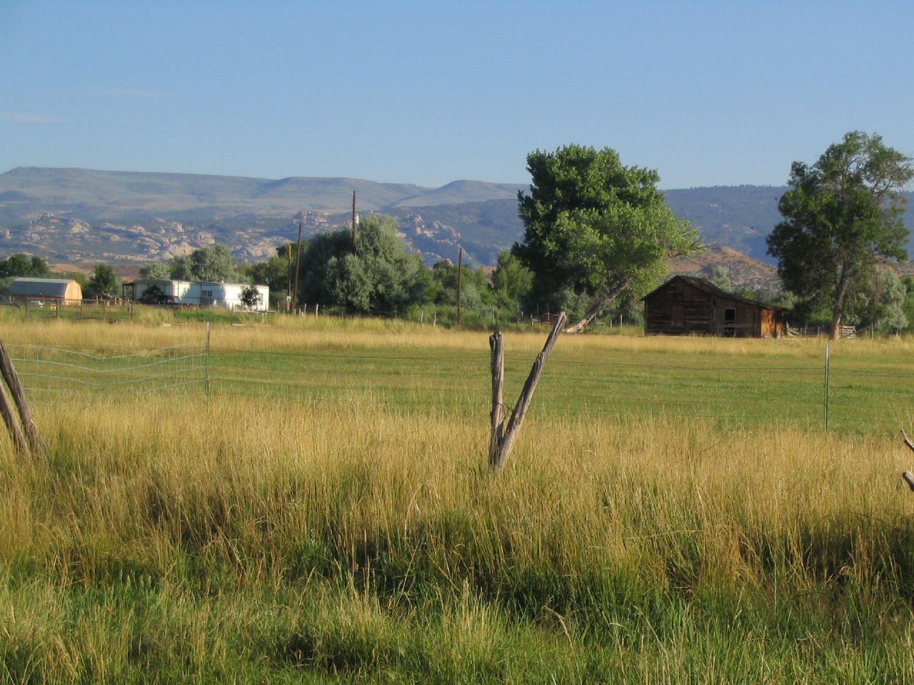
Alicias Grandparents House, Vernal, Utah
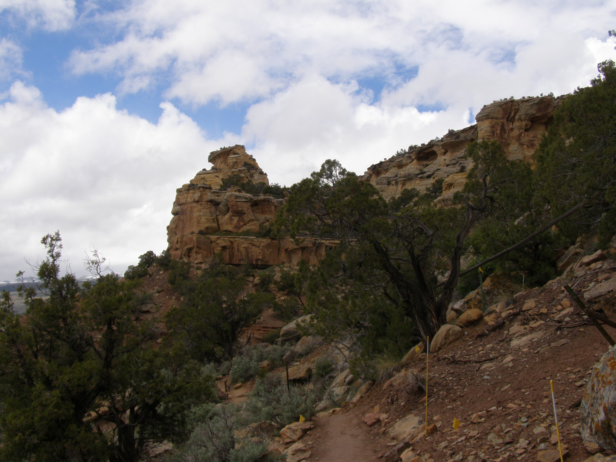
Dry Fork Canyon, UT
Topographic Map of Vernal, UT, USA
Find elevation by address:

Places in Vernal, UT, USA:
Places near Vernal, UT, USA:
251 E Main St
West Main Street
170 S 500 E
564 N 500 E
160 E 1500 N
U.s. 191
Red Fleet State Park
US-40, Jensen, UT, USA
Jensen
Sound Of Silence Nature Trail
Green River Campground
Vernal
Uintah County
Fantasy Canyon
Echo Park Road
Dinosaur National Monument
Diamond Mountain
Bull Canyon
Atchee Ridge Rd, North-long Draw/Rainbow, UT, USA
Rainbow
Recent Searches:
- Elevation of 15th Ave SE, St. Petersburg, FL, USA
- Elevation of Beall Road, Beall Rd, Florida, USA
- Elevation of Leguwa, Nepal
- Elevation of County Rd, Enterprise, AL, USA
- Elevation of Kolchuginsky District, Vladimir Oblast, Russia
- Elevation of Shustino, Vladimir Oblast, Russia
- Elevation of Lampiasi St, Sarasota, FL, USA
- Elevation of Elwyn Dr, Roanoke Rapids, NC, USA
- Elevation of Congressional Dr, Stevensville, MD, USA
- Elevation of Bellview Rd, McLean, VA, USA