Elevation map of Vernal, UT, USA
Location: United States > Utah > Uintah County >
Longitude: -109.37832
Latitude: 40.1069499
Elevation: 1516m / 4974feet
Barometric Pressure: 84KPa
Elevation Map:
Satellite Map:
Related Photos:
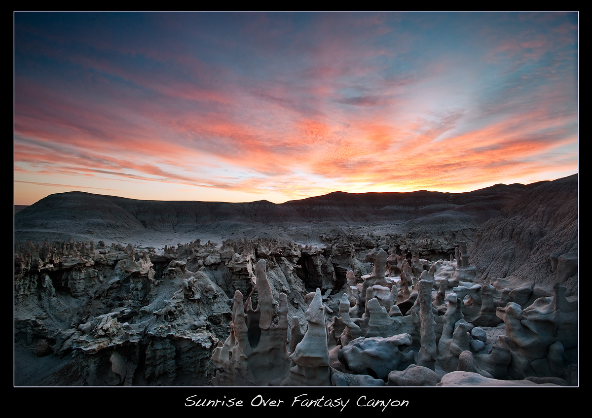
Sunrise Over Fantasy Canyon
The Wicked Witch of the North?

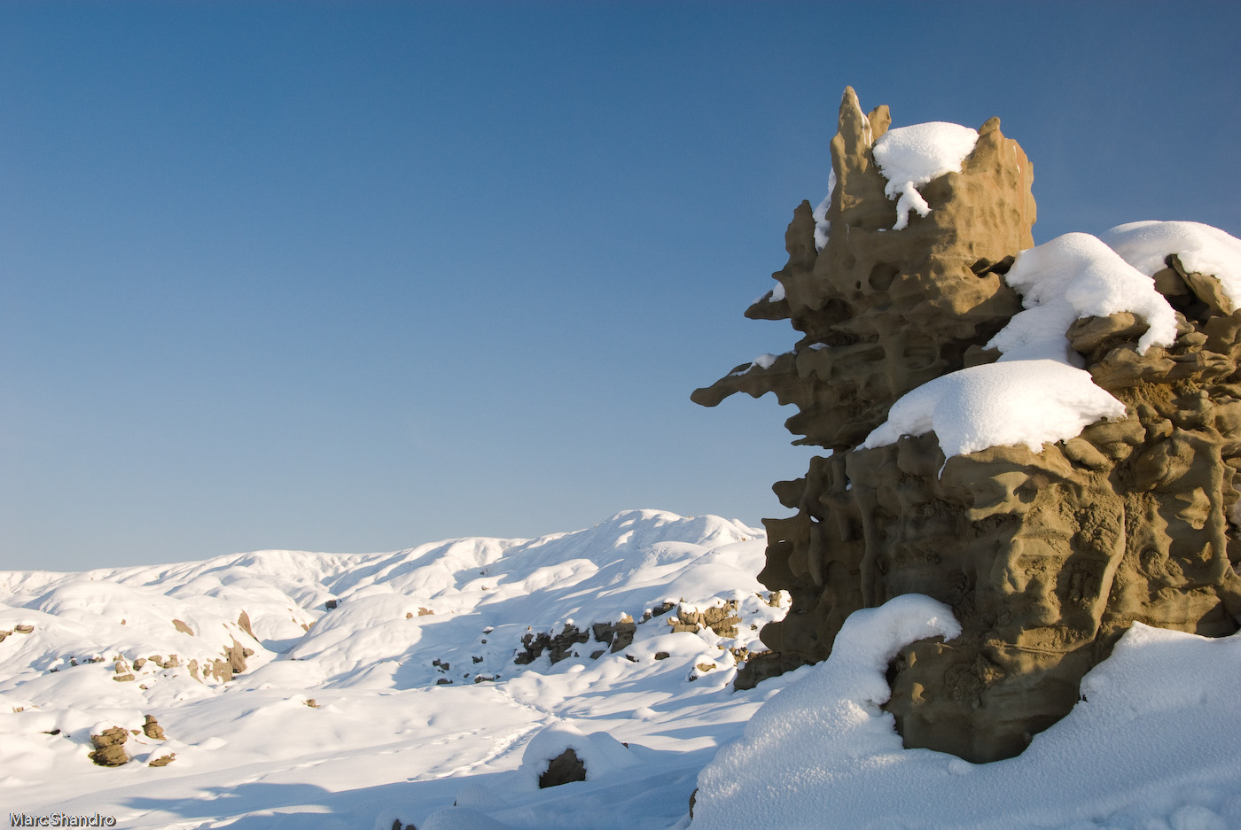
Winter badlands 4
fantasy fotographers

The Bear

Fantasy Canyon Sunset

You Decide

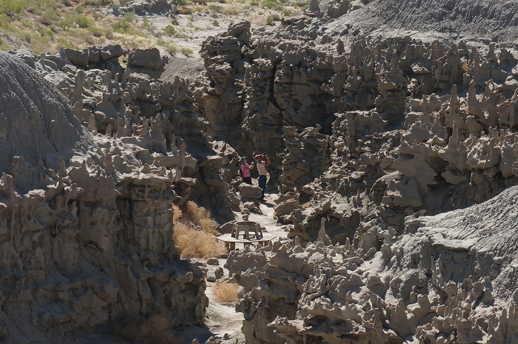
Fantasy Canyon Overview

Winter badlands 5
Topographic Map of Vernal, UT, USA
Find elevation by address:

Places in Vernal, UT, USA:
Places near Vernal, UT, USA:
Uintah County
Fantasy Canyon
Jensen
US-40, Jensen, UT, USA
Atchee Ridge Rd, North-long Draw/Rainbow, UT, USA
Rainbow
Green River Campground
U.s. 191
Sound Of Silence Nature Trail
170 S 500 E
251 E Main St
Vernal
West Main Street
564 N 500 E
160 E 1500 N
Dragon
Dragon
Dragon Rd, Evacuation Creek, UT, USA
Red Fleet State Park
Echo Park Road
Recent Searches:
- Elevation of Leguwa, Nepal
- Elevation of County Rd, Enterprise, AL, USA
- Elevation of Kolchuginsky District, Vladimir Oblast, Russia
- Elevation of Shustino, Vladimir Oblast, Russia
- Elevation of Lampiasi St, Sarasota, FL, USA
- Elevation of Elwyn Dr, Roanoke Rapids, NC, USA
- Elevation of Congressional Dr, Stevensville, MD, USA
- Elevation of Bellview Rd, McLean, VA, USA
- Elevation of Stage Island Rd, Chatham, MA, USA
- Elevation of Shibuya Scramble Crossing, 21 Udagawacho, Shibuya City, Tokyo -, Japan