Elevation map of Uintah County, UT, USA
Location: United States > Utah >
Longitude: -109.37832
Latitude: 40.1069499
Elevation: 1516m / 4974feet
Barometric Pressure: 84KPa
Elevation Map:
Satellite Map:
Related Photos:
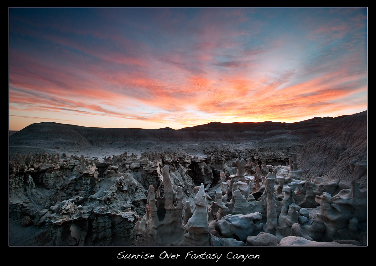
Sunrise Over Fantasy Canyon
The Wicked Witch of the North?
fantasy fotographers

The Bear

Fantasy Canyon Sunset

You Decide

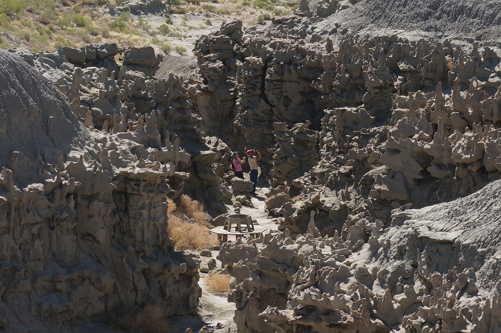
Fantasy Canyon Overview

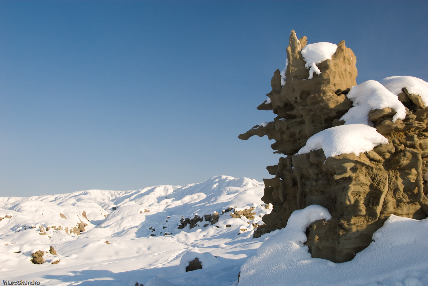
Winter badlands 5

Winter badlands 4
Topographic Map of Uintah County, UT, USA
Find elevation by address:

Places in Uintah County, UT, USA:
Jensen
Whiterocks
Roosevelt
Rainbow
Vernal
Vernal
Lapoint
Dragon Rd, Evacuation Creek, UT, USA
Dragon
Ouray, UT, USA
Places near Uintah County, UT, USA:
Vernal
Fantasy Canyon
Jensen
US-40, Jensen, UT, USA
Atchee Ridge Rd, North-long Draw/Rainbow, UT, USA
Rainbow
Green River Campground
U.s. 191
Sound Of Silence Nature Trail
170 S 500 E
251 E Main St
Vernal
West Main Street
564 N 500 E
160 E 1500 N
Dragon
Dragon
Dragon Rd, Evacuation Creek, UT, USA
Red Fleet State Park
Echo Park Road
Recent Searches:
- Elevation of Corso Fratelli Cairoli, 35, Macerata MC, Italy
- Elevation of Tallevast Rd, Sarasota, FL, USA
- Elevation of 4th St E, Sonoma, CA, USA
- Elevation of Black Hollow Rd, Pennsdale, PA, USA
- Elevation of Oakland Ave, Williamsport, PA, USA
- Elevation of Pedrógão Grande, Portugal
- Elevation of Klee Dr, Martinsburg, WV, USA
- Elevation of Via Roma, Pieranica CR, Italy
- Elevation of Tavkvetili Mountain, Georgia
- Elevation of Hartfords Bluff Cir, Mt Pleasant, SC, USA