Elevation of Diamond Mountain, Colorado, USA
Location: United States > Colorado > Moffat County > Maybell >
Longitude: -108.95345
Latitude: 40.732462
Elevation: 2502m / 8209feet
Barometric Pressure: 75KPa
Elevation Map:
Satellite Map:
Related Photos:
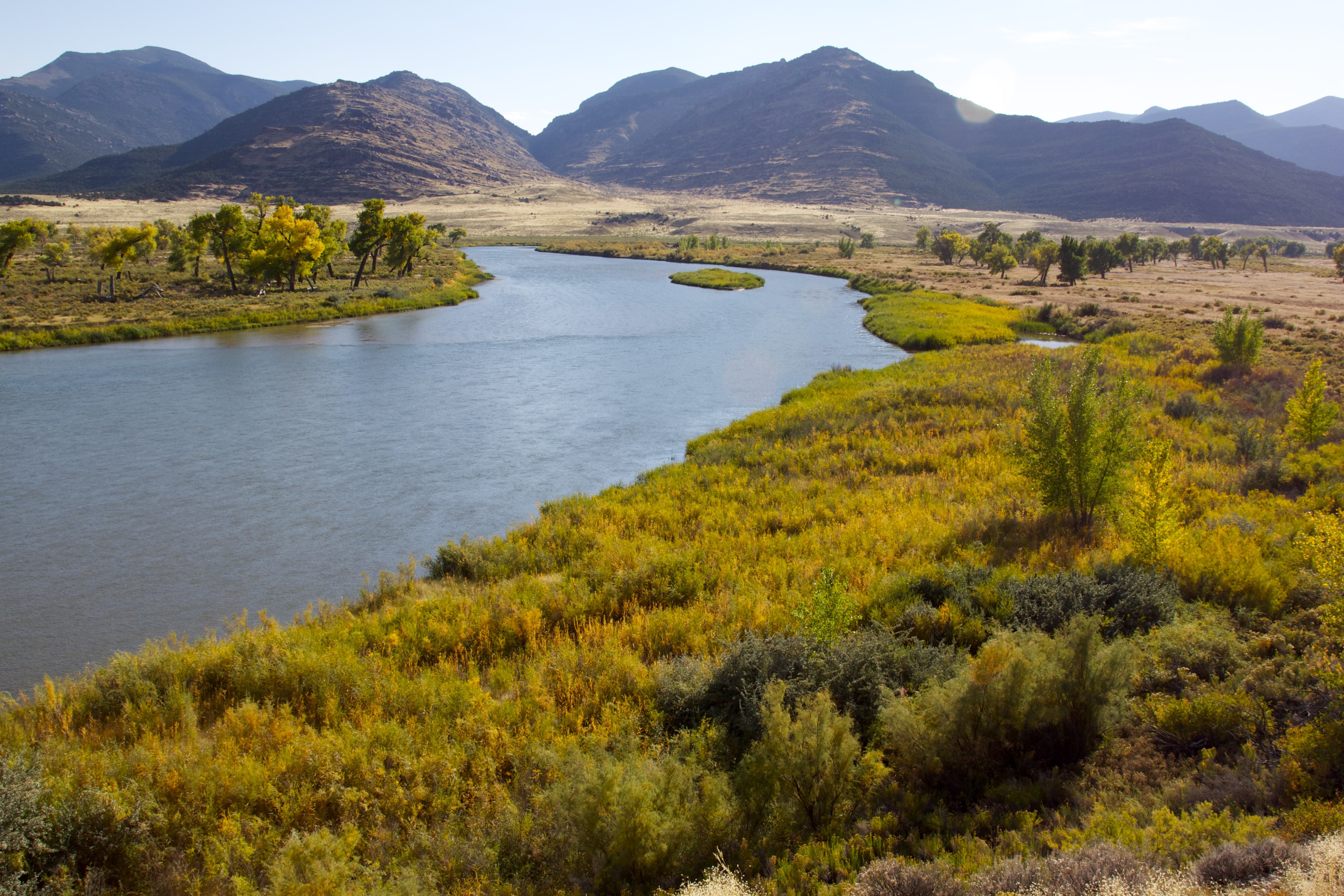
Brown's Park Refuge
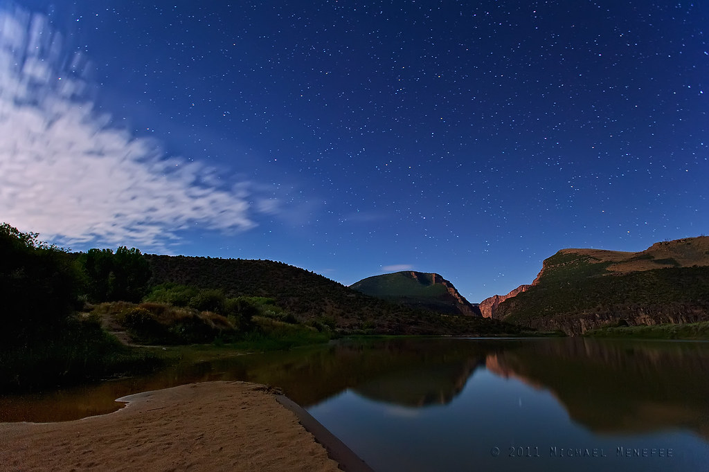
An Evening Sojourn at the Gates of Lodore
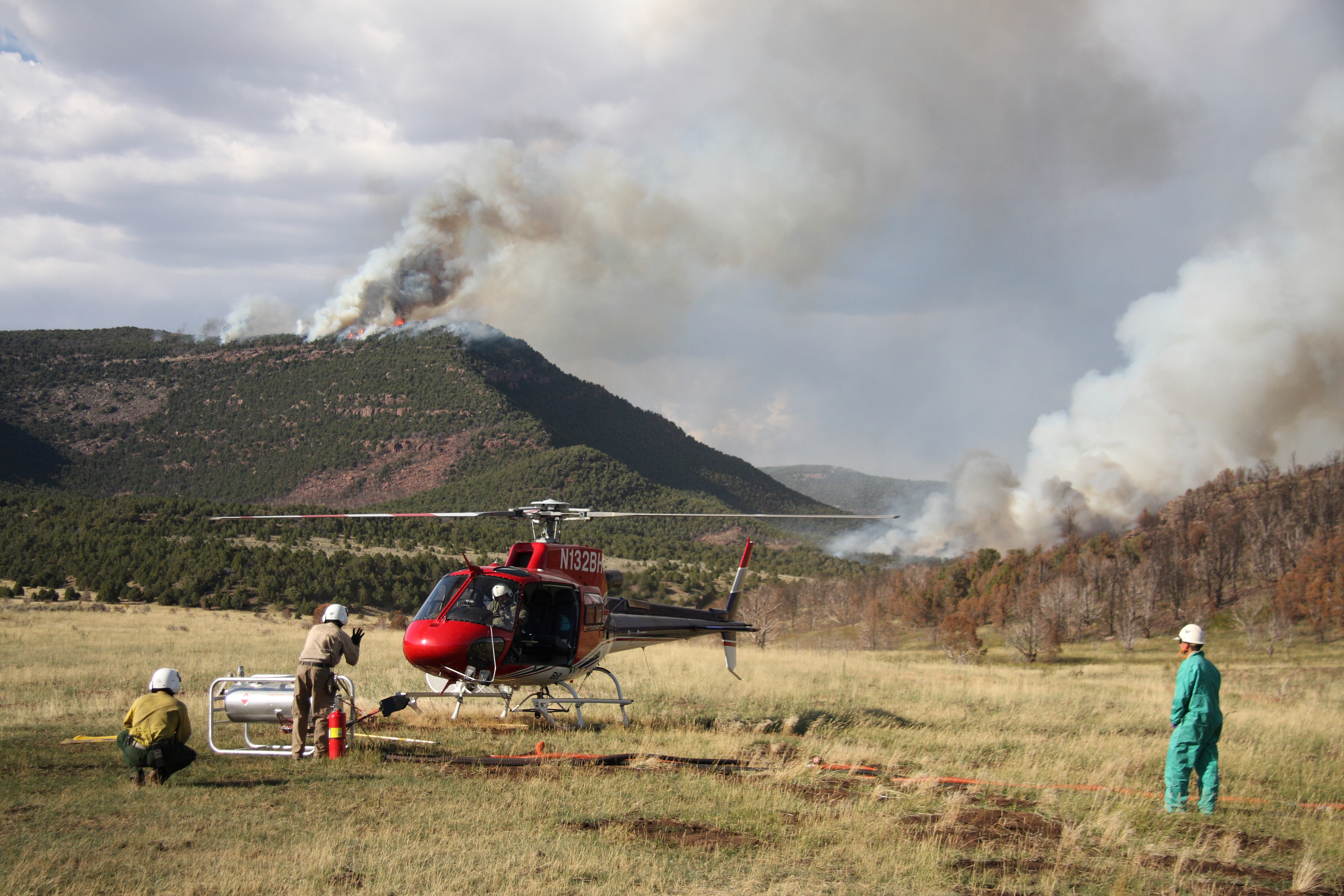
Marshall RX
Topographic Map of Diamond Mountain, Colorado, USA
Find elevation by address:

Places near Diamond Mountain, Colorado, USA:
Dinosaur National Monument
Echo Park Road
Bull Canyon
Green River Campground
Sound Of Silence Nature Trail
Red Fleet State Park
Jensen
US-40, Jensen, UT, USA
564 N 500 E
160 E 1500 N
Elk Springs
170 S 500 E
251 E Main St
Vernal
West Main Street
Rangely
W Main St, Rangely, CO, USA
211 Cottonwood Dr
225 Hillcrest Cir
Yampa River
Recent Searches:
- Elevation of Corso Fratelli Cairoli, 35, Macerata MC, Italy
- Elevation of Tallevast Rd, Sarasota, FL, USA
- Elevation of 4th St E, Sonoma, CA, USA
- Elevation of Black Hollow Rd, Pennsdale, PA, USA
- Elevation of Oakland Ave, Williamsport, PA, USA
- Elevation of Pedrógão Grande, Portugal
- Elevation of Klee Dr, Martinsburg, WV, USA
- Elevation of Via Roma, Pieranica CR, Italy
- Elevation of Tavkvetili Mountain, Georgia
- Elevation of Hartfords Bluff Cir, Mt Pleasant, SC, USA