Elevation of Maybell, CO, USA
Location: United States > Colorado > Moffat County >
Longitude: -108.08702
Latitude: 40.5177463
Elevation: 1803m / 5915feet
Barometric Pressure: 81KPa
Elevation Map:
Satellite Map:
Related Photos:
Alleen maar veeboerderijen hier
US-40 East Approaching CO-318
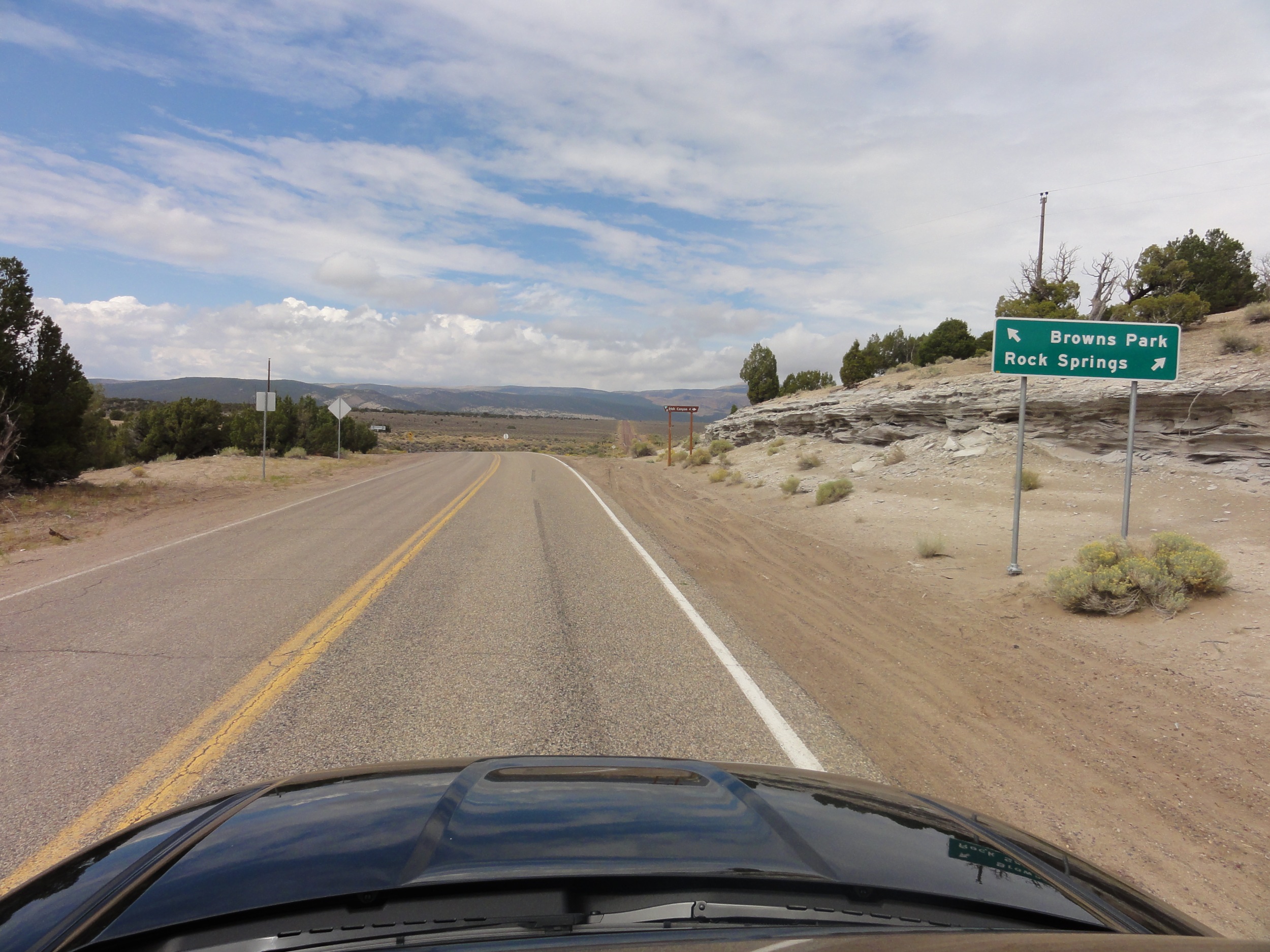
Rechtsaf naar Rock Springs, Wyoming
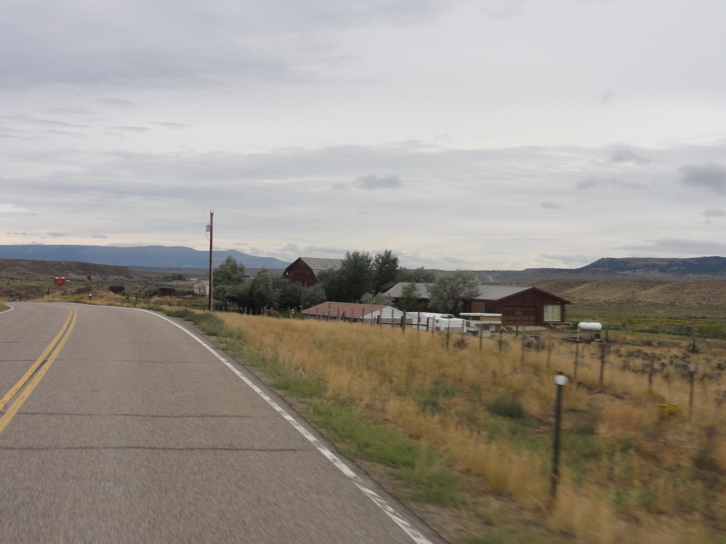
Veel ranches
Yampa River at Sunbeam
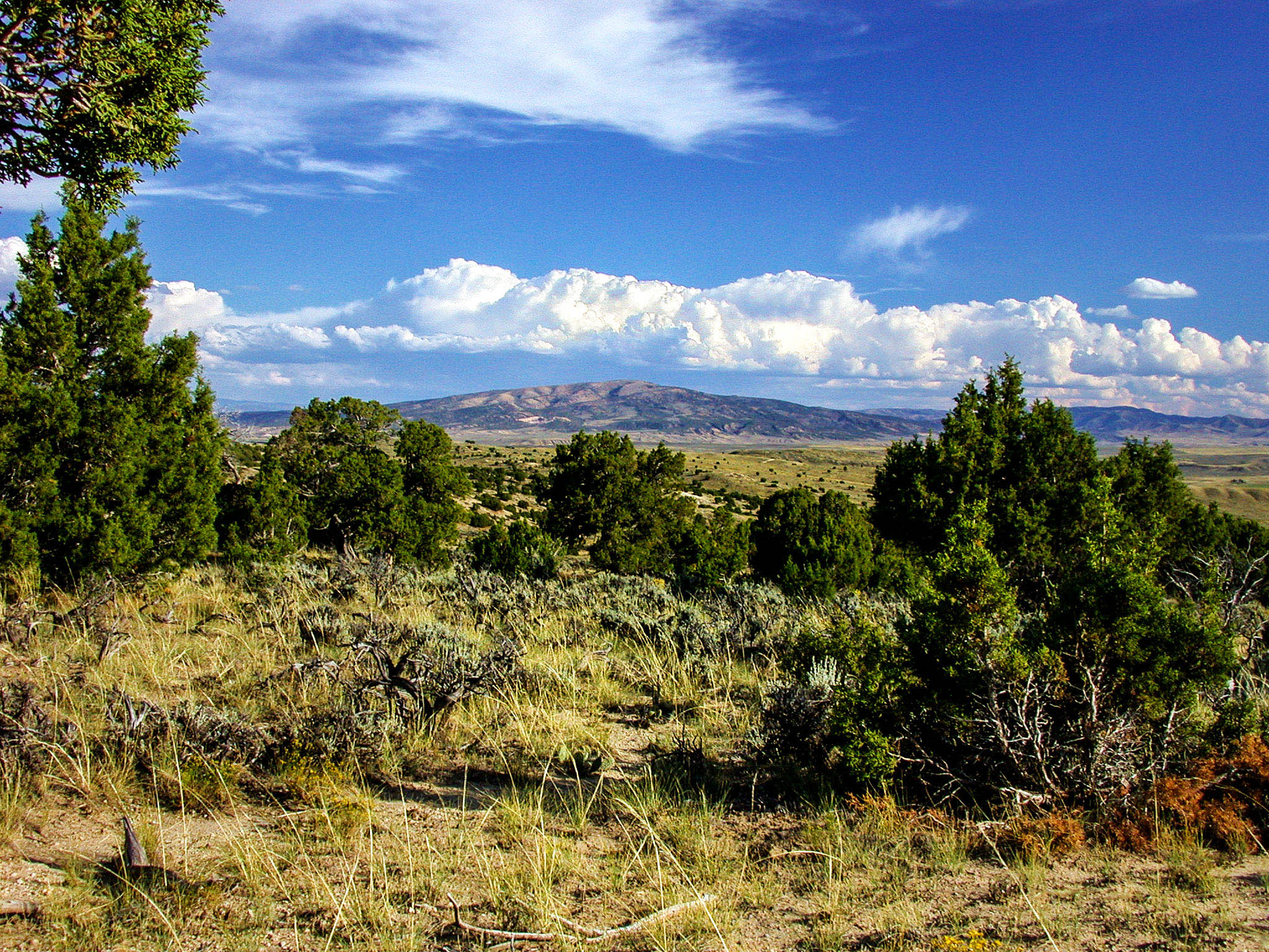
Moffat County Sky
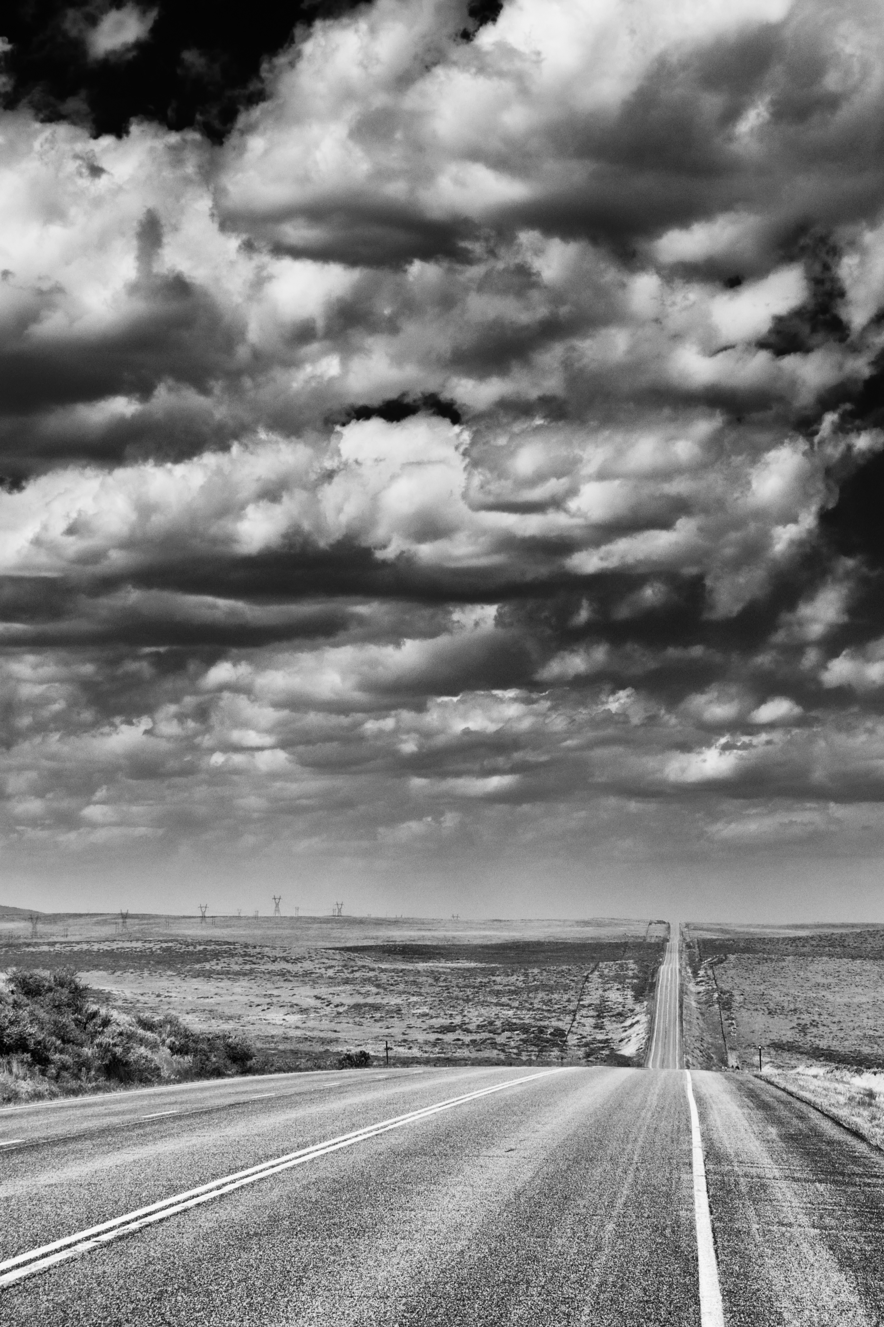
The start of the high winds. U.S. Route 40, Maybell, CO.

The start of the high winds. U.S. Route 40, Maybell, CO.

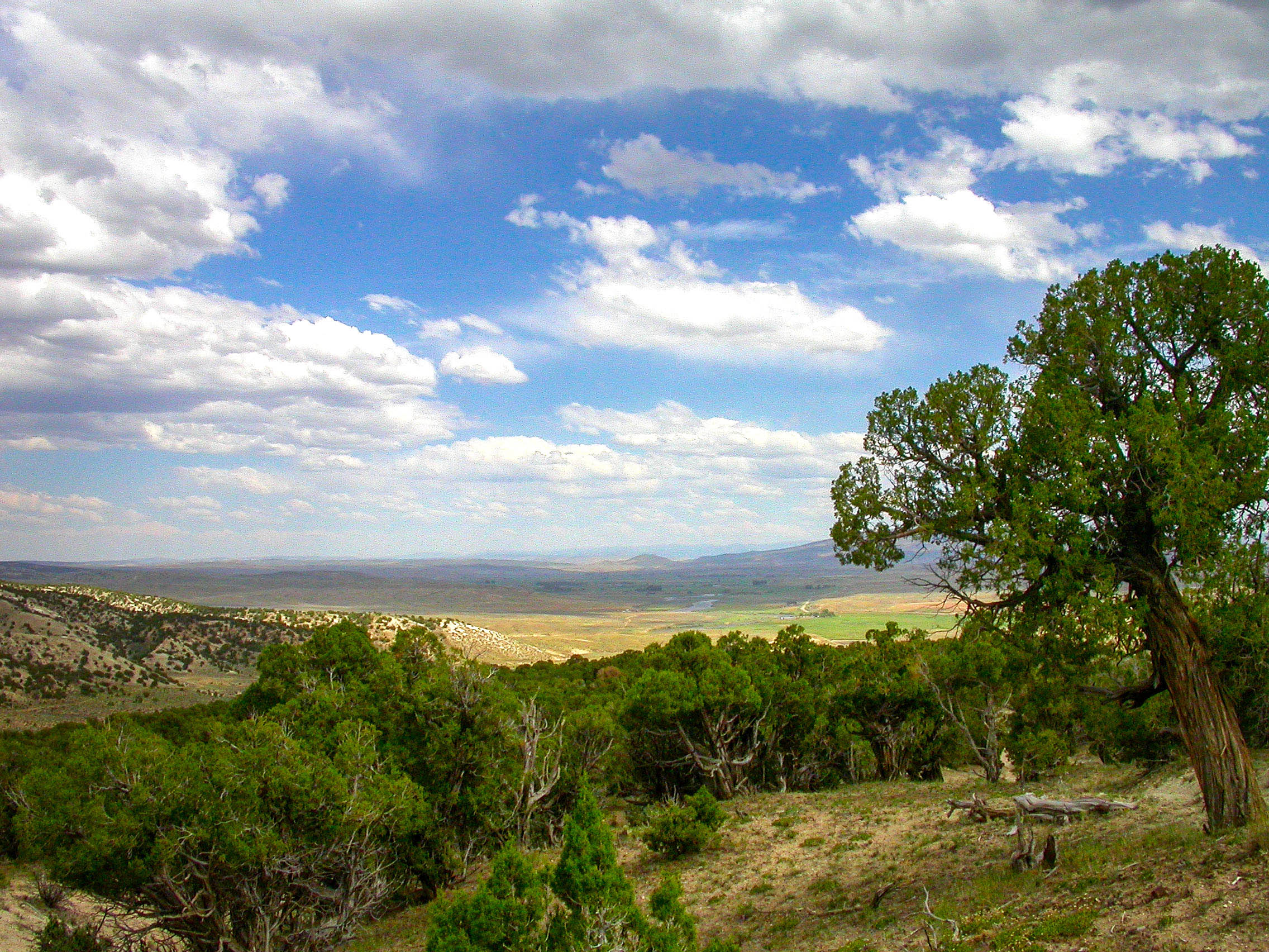
Northwest Colorado
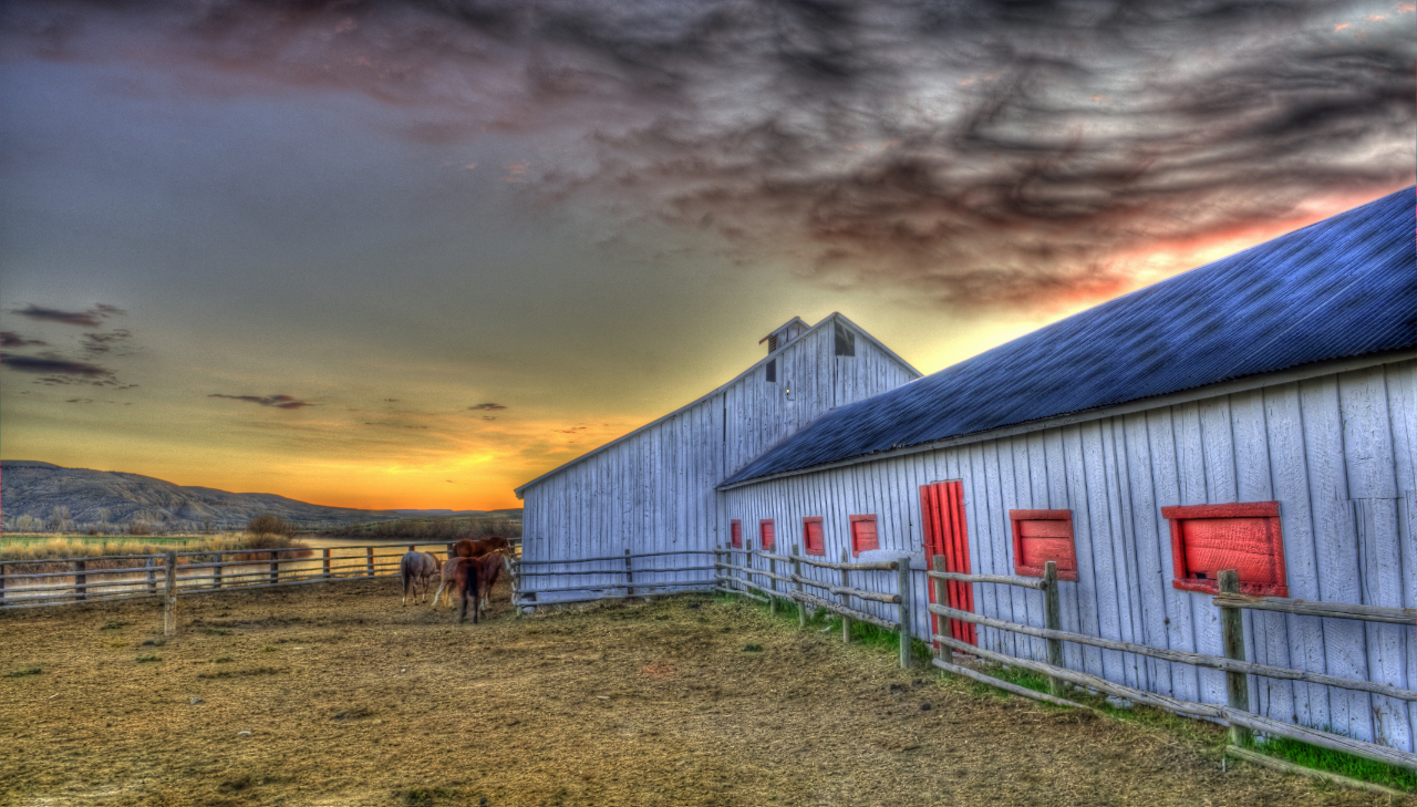
barn near sunbeam usa

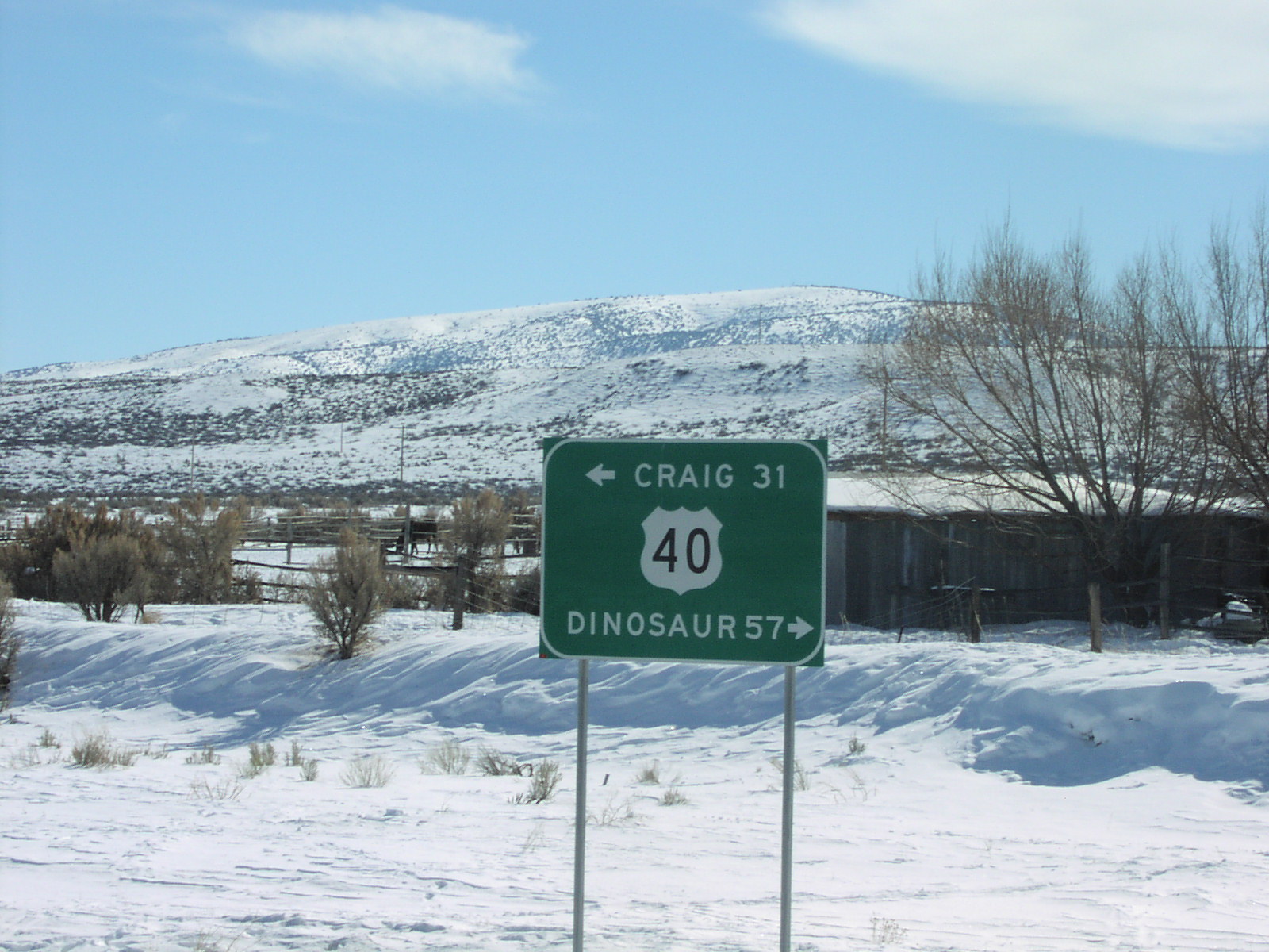
Highway 40 in Colorado
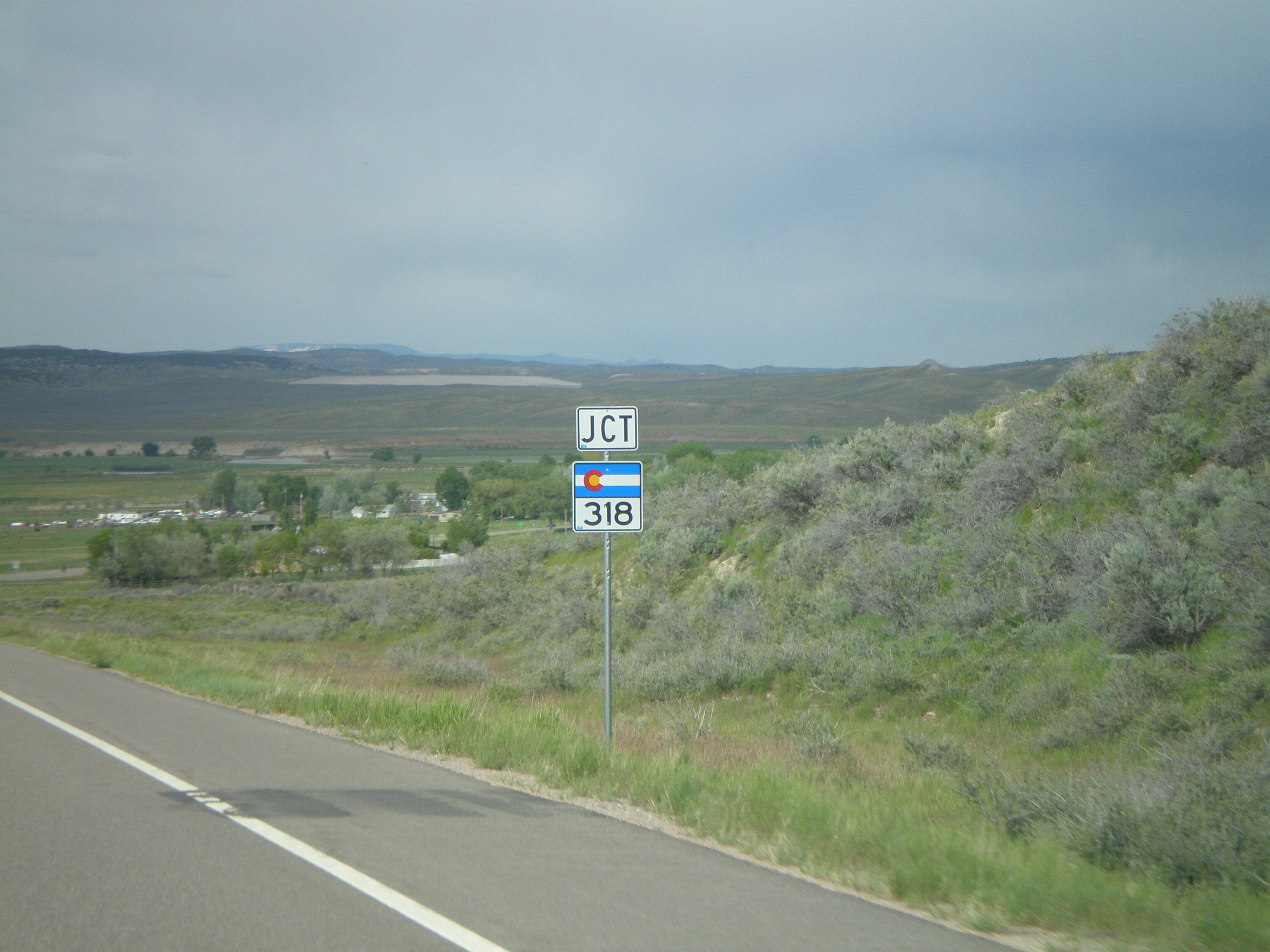
CO-318 East at US-40
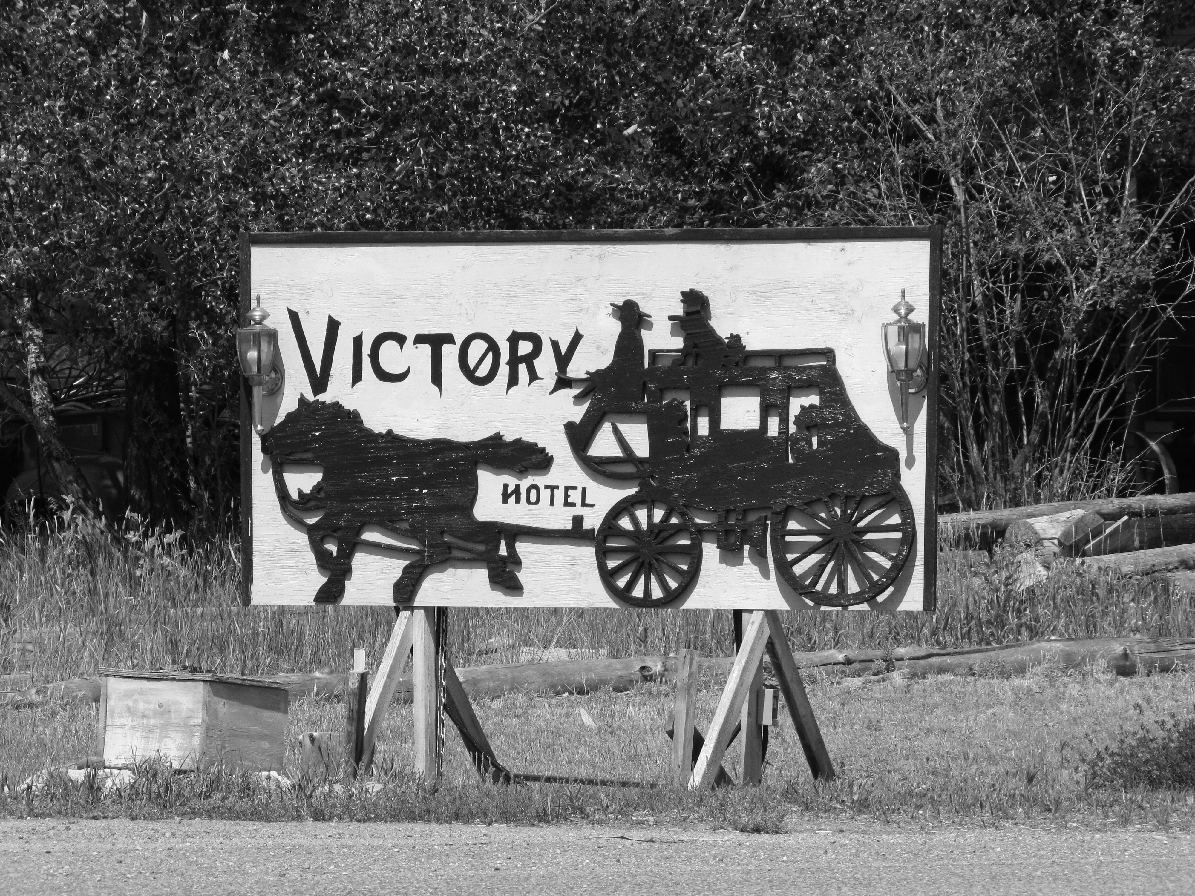
On to Victory

The Red Rose

In de middel of nowhere

2011-UTAH&CO14-Open road
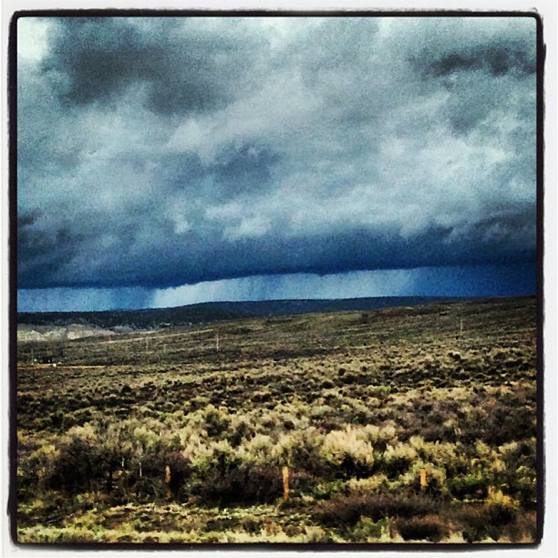
#colorado #dramatic #rainy #weather

DSC_0862-Edit
Just Rode In
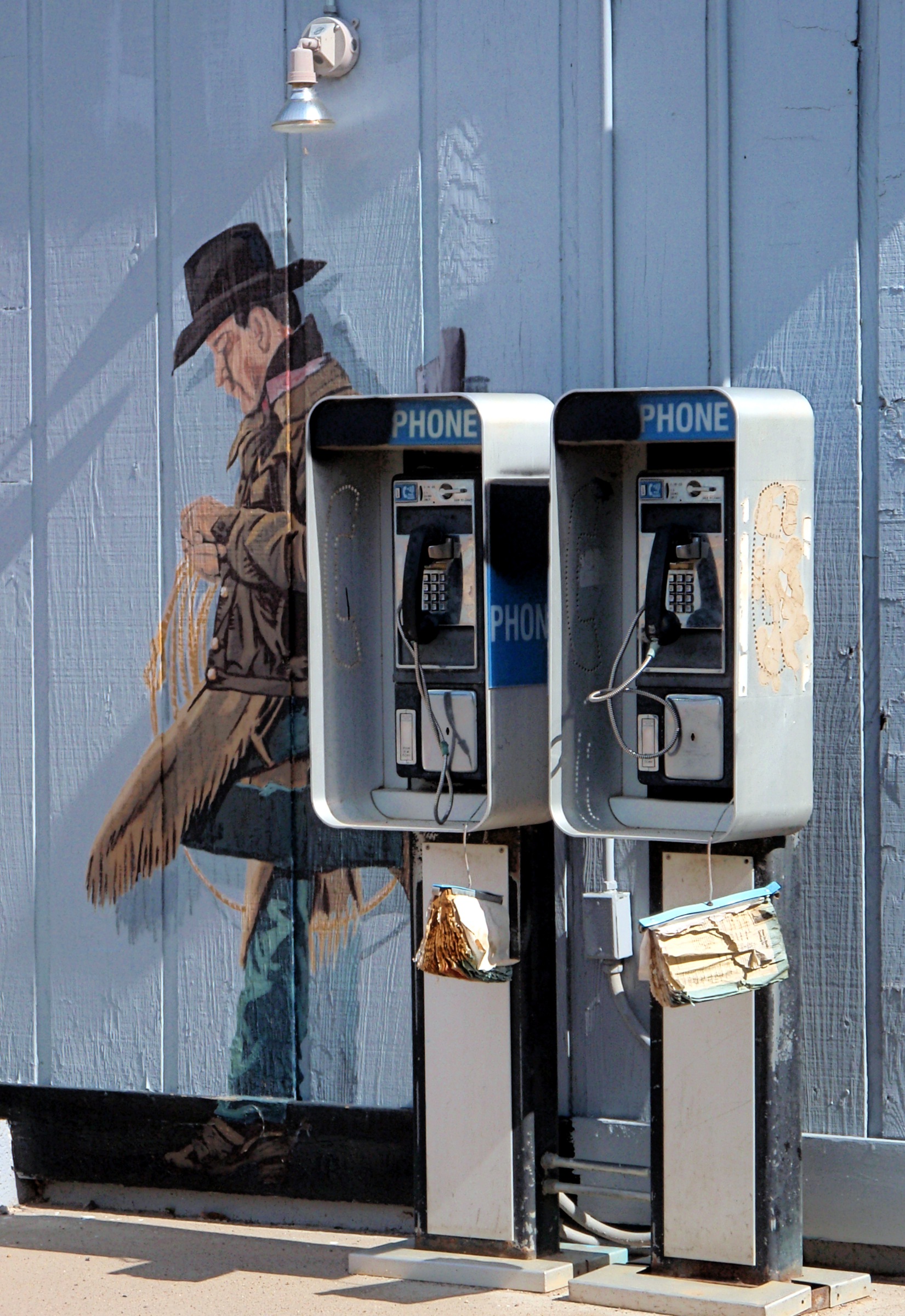
Waiting For The Call
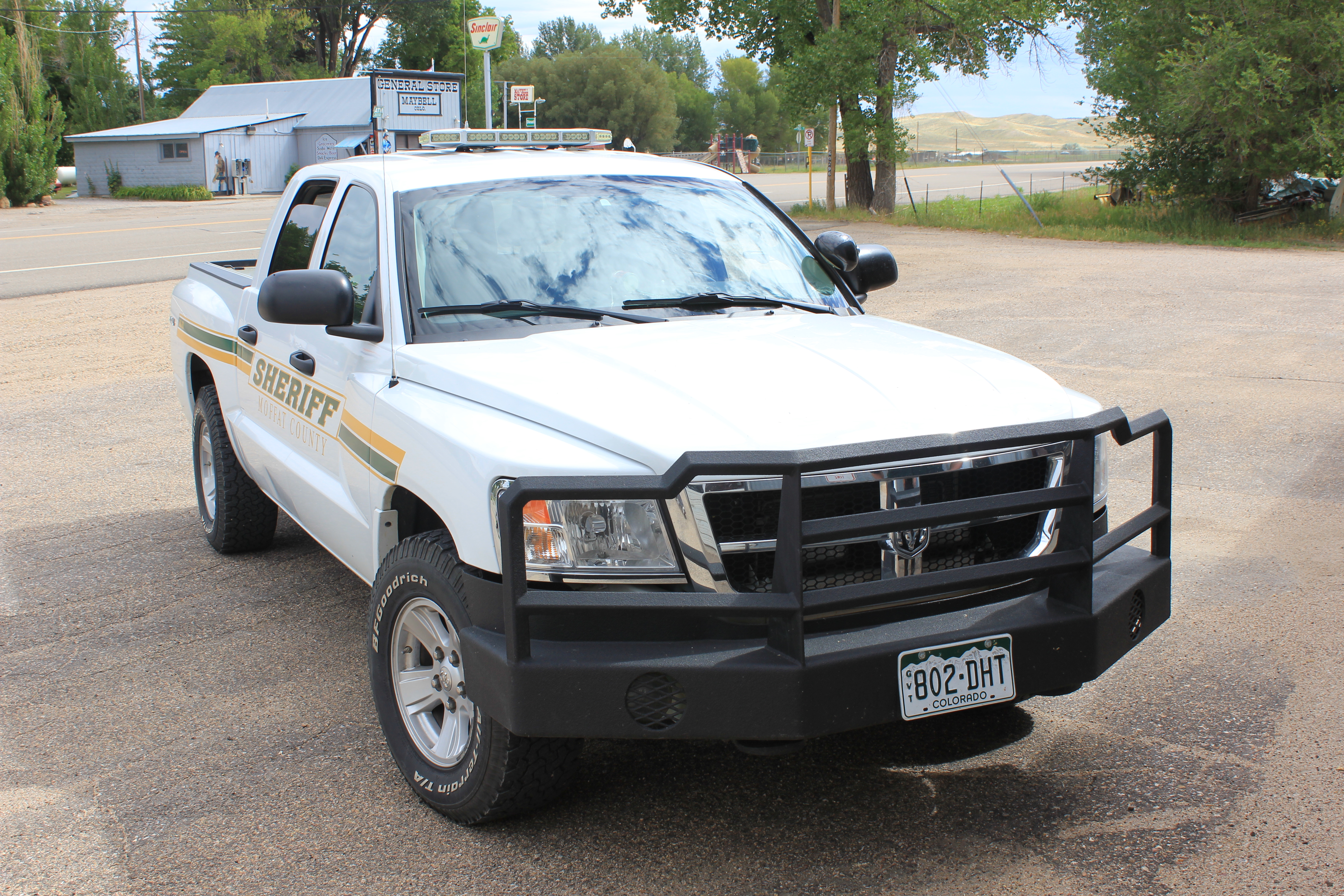
Dodge Dakota Moffat County Sheriff, Colorado
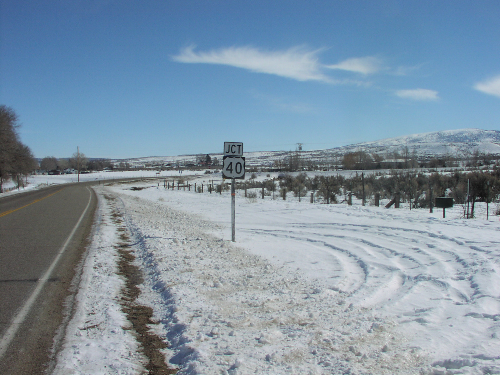
End CO-318 at US-40.
Topographic Map of Maybell, CO, USA
Find elevation by address:

Places in Maybell, CO, USA:
Places near Maybell, CO, USA:
Juniper Mountain
Cross Mountain Ranch
Moffat County
Escarpment Peak
Gray Hills Hp
Axial
CO-13, Meeker, CO, USA
Pronghorn Road
Devils Hole Mountain
25 Valley View Dr
Colorado 64
CO-64, Meeker, CO, USA
White River City
Thornburgh Mountain
Hamilton
750 Hospital Loop
Meeker
Elk Mountain Inn
380 Riverview Ave
Moffat County Municipal Solid
Recent Searches:
- Elevation of Corso Fratelli Cairoli, 35, Macerata MC, Italy
- Elevation of Tallevast Rd, Sarasota, FL, USA
- Elevation of 4th St E, Sonoma, CA, USA
- Elevation of Black Hollow Rd, Pennsdale, PA, USA
- Elevation of Oakland Ave, Williamsport, PA, USA
- Elevation of Pedrógão Grande, Portugal
- Elevation of Klee Dr, Martinsburg, WV, USA
- Elevation of Via Roma, Pieranica CR, Italy
- Elevation of Tavkvetili Mountain, Georgia
- Elevation of Hartfords Bluff Cir, Mt Pleasant, SC, USA