Elevation of Pronghorn Road, Pronghorn Rd, Craig, CO, USA
Location: United States > Colorado > Craig >
Longitude: -107.70459
Latitude: 40.5034121
Elevation: 2010m / 6594feet
Barometric Pressure: 79KPa
Elevation Map:
Satellite Map:
Related Photos:

Greyhound 86284 rear Craig (Prevost X3-45)

Toes of the jack and the beanstalk giant
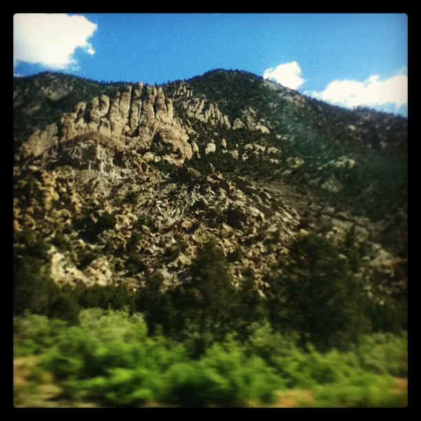
Can u see the giants feet
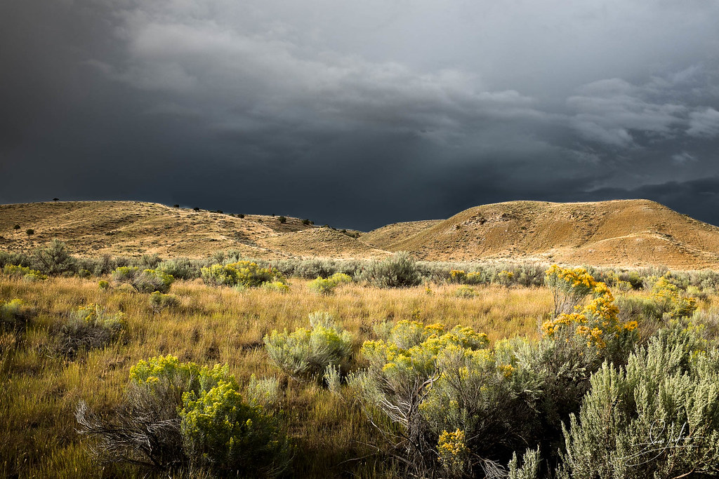
Waiting For The Storm

Silo sunrise
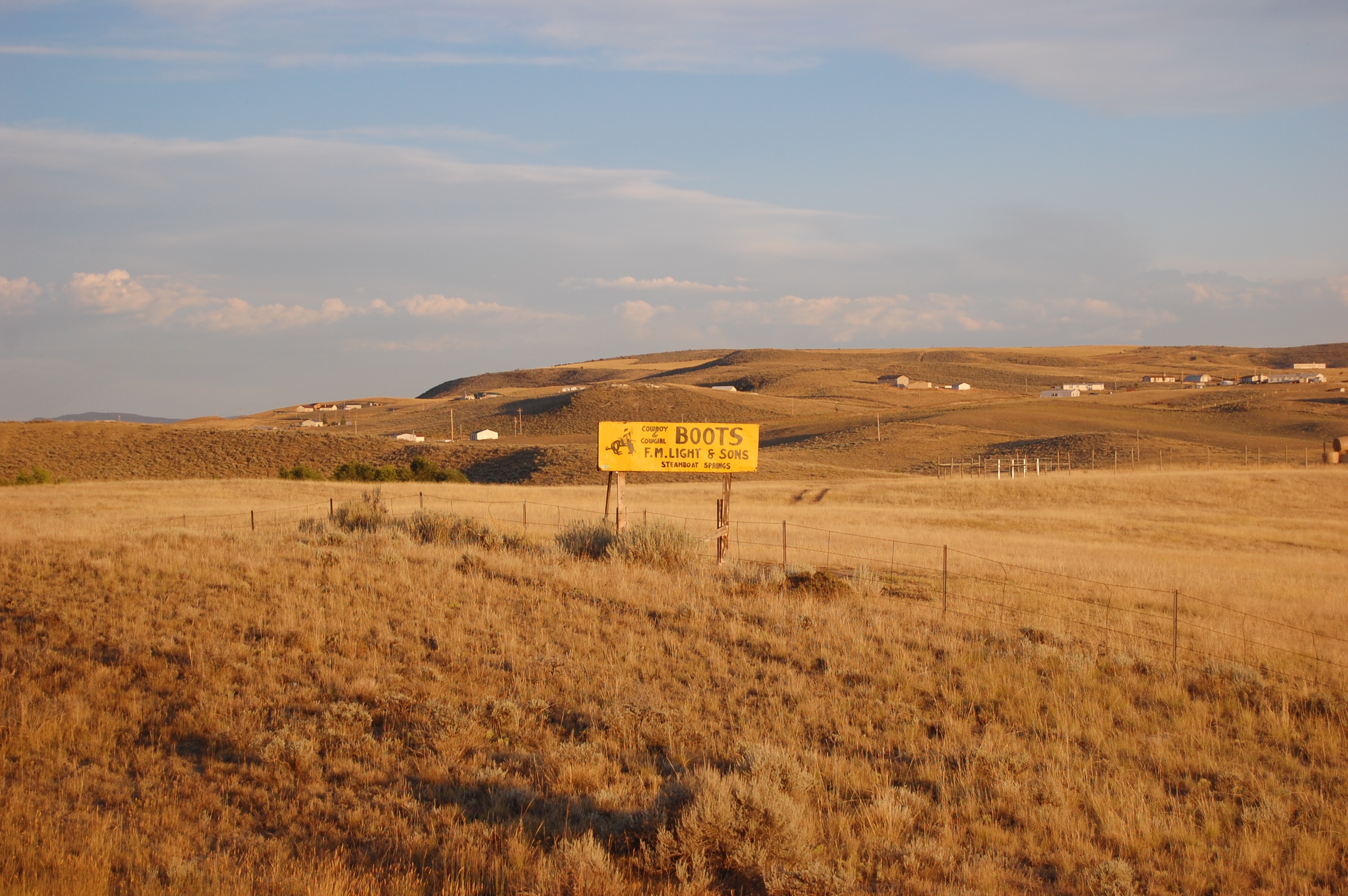
The biggest advertiser in North West Colorado

Floating down the Yampa River

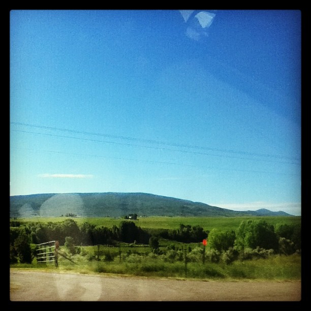
Feeling a little adventurous today...

DSC06990 Rote Berge

DSC06986 U.S. 40

DSC06977 U.S. 40

DSC06975 U.S. 40
Desolate beauty
Topographic Map of Pronghorn Road, Pronghorn Rd, Craig, CO, USA
Find elevation by address:

Places near Pronghorn Road, Pronghorn Rd, Craig, CO, USA:
25 Valley View Dr
750 Hospital Loop
380 Riverview Ave
Moffat County Municipal Solid
Wheatridge Dr, Craig, CO, USA
353 Birch St
Craig
Hamilton
2050 Girard Ln
CO-13, Meeker, CO, USA
Yampa Valley Electric Association
Axial
Thornburgh Mountain
Iles Mountain
Co Rd 29, Hayden, CO, USA
Elkhead Mountains
Aldrich Lakes
Juniper Mountain
Pagoda
1163 Co Rd 53
Recent Searches:
- Elevation of Lampiasi St, Sarasota, FL, USA
- Elevation of Elwyn Dr, Roanoke Rapids, NC, USA
- Elevation of Congressional Dr, Stevensville, MD, USA
- Elevation of Bellview Rd, McLean, VA, USA
- Elevation of Stage Island Rd, Chatham, MA, USA
- Elevation of Shibuya Scramble Crossing, 21 Udagawacho, Shibuya City, Tokyo -, Japan
- Elevation of Jadagoniai, Kaunas District Municipality, Lithuania
- Elevation of Pagonija rock, Kranto 7-oji g. 8"N, Kaunas, Lithuania
- Elevation of Co Rd 87, Jamestown, CO, USA
- Elevation of Tenjo, Cundinamarca, Colombia