Elevation map of Yampa River, Colorado, USA
Location: United States > Colorado > Moffat County > Maybell >
Longitude: -108.32148
Latitude: 40.478447
Elevation: 1801m / 5909feet
Barometric Pressure: 81KPa
Elevation Map:
Satellite Map:
Related Photos:

We surprised each other
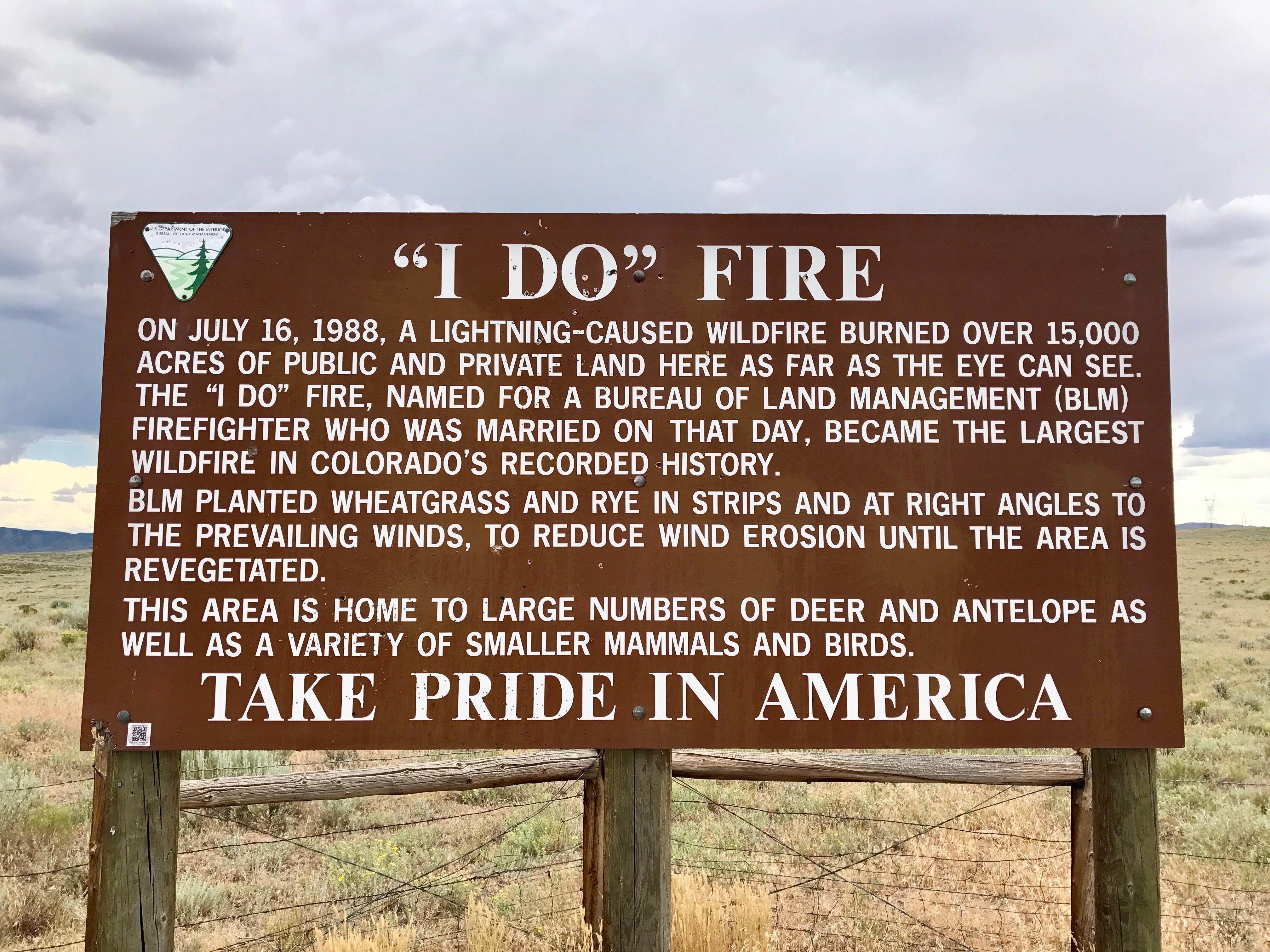
The "I Do" Fire

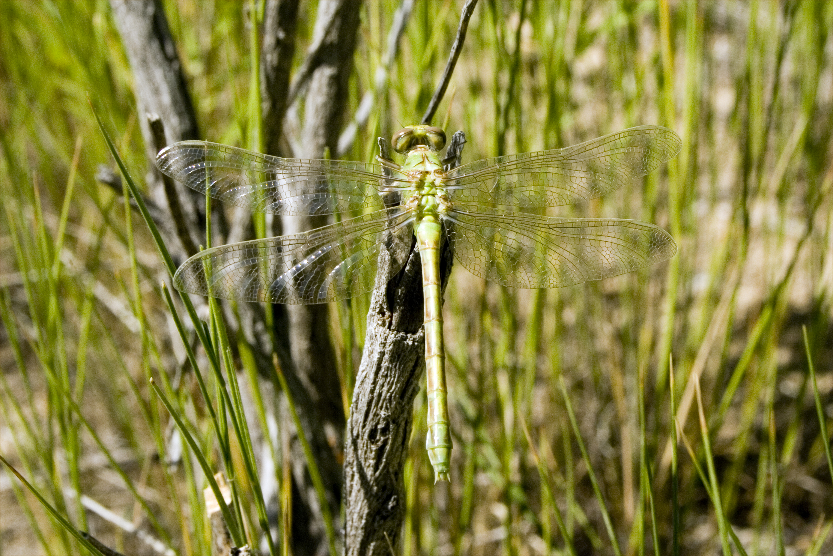
Green Dragon
Jamie Kings Transporting a Drunk Leprechaun
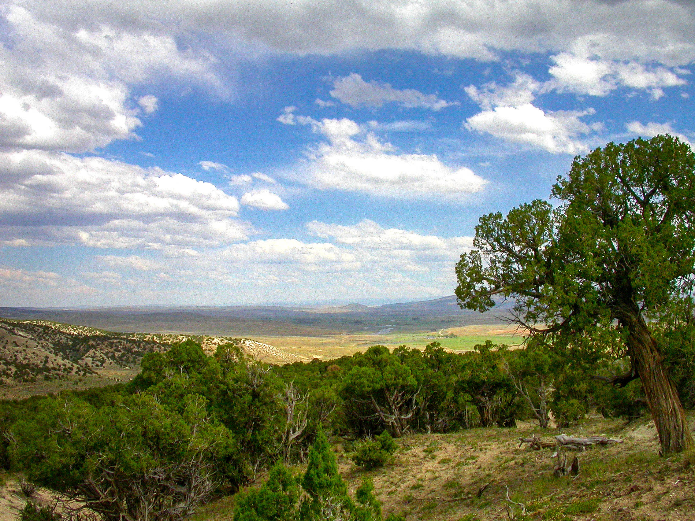
Veel ranches
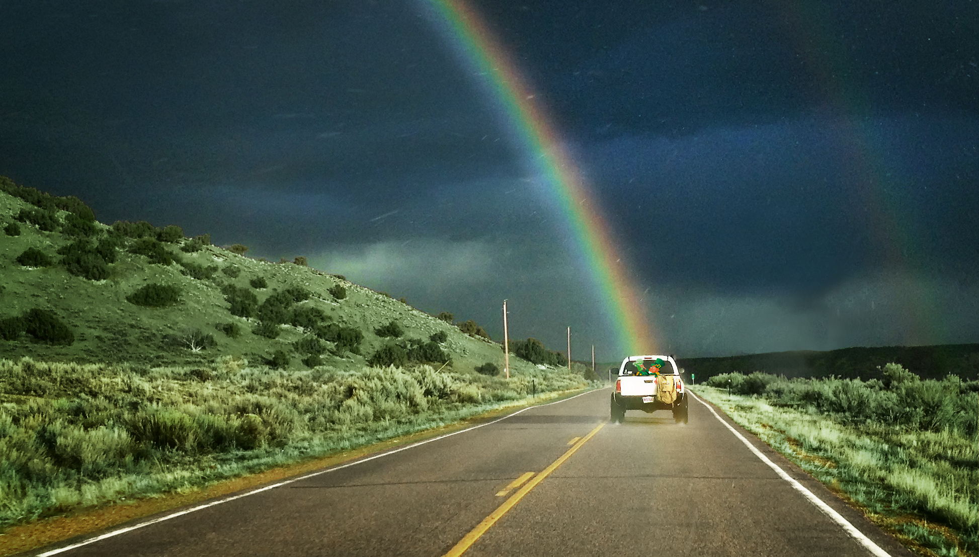
Jamie's Truck is the Pot of Gold
Yampa River at Sunbeam
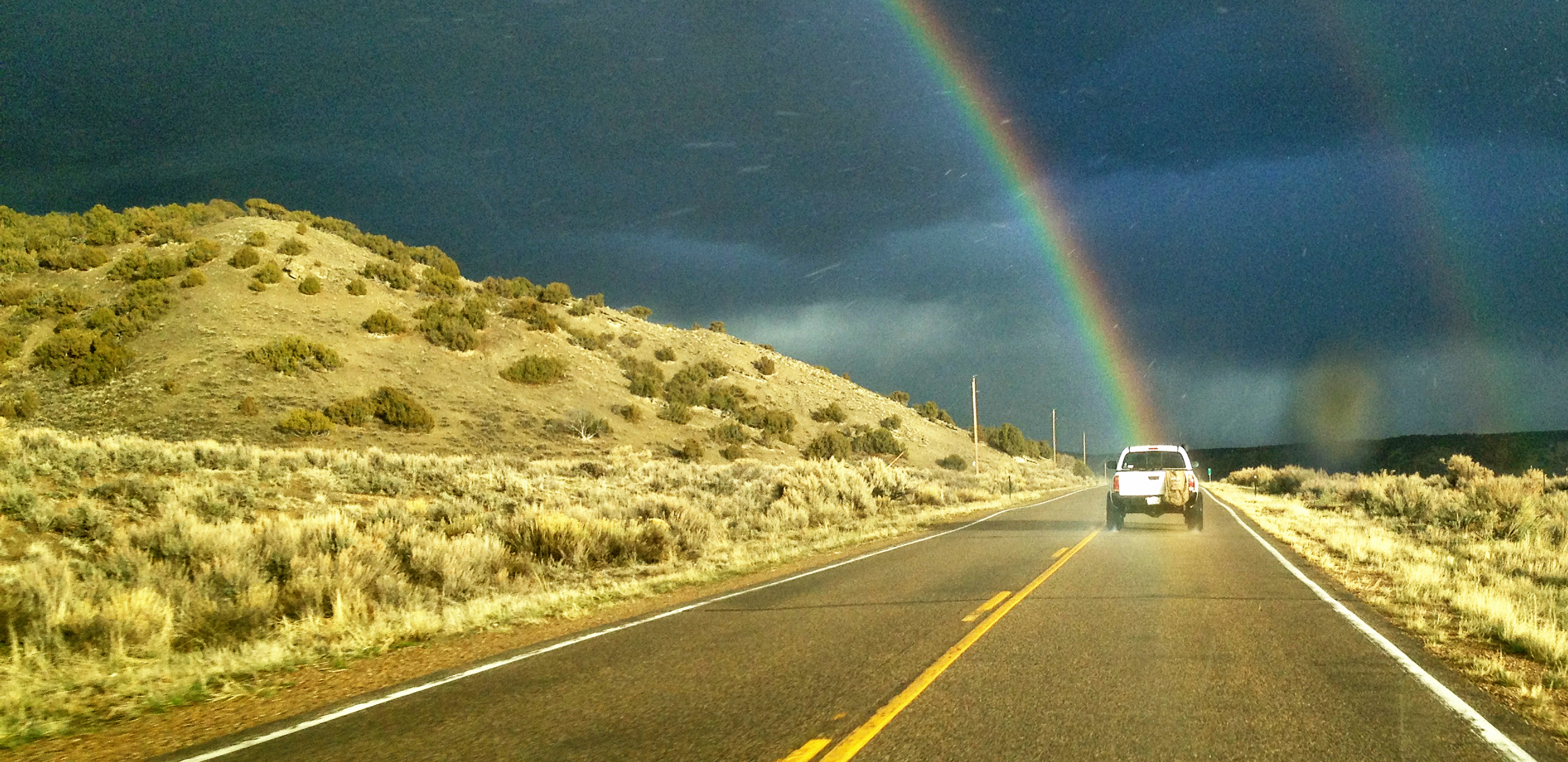
Green Dragon
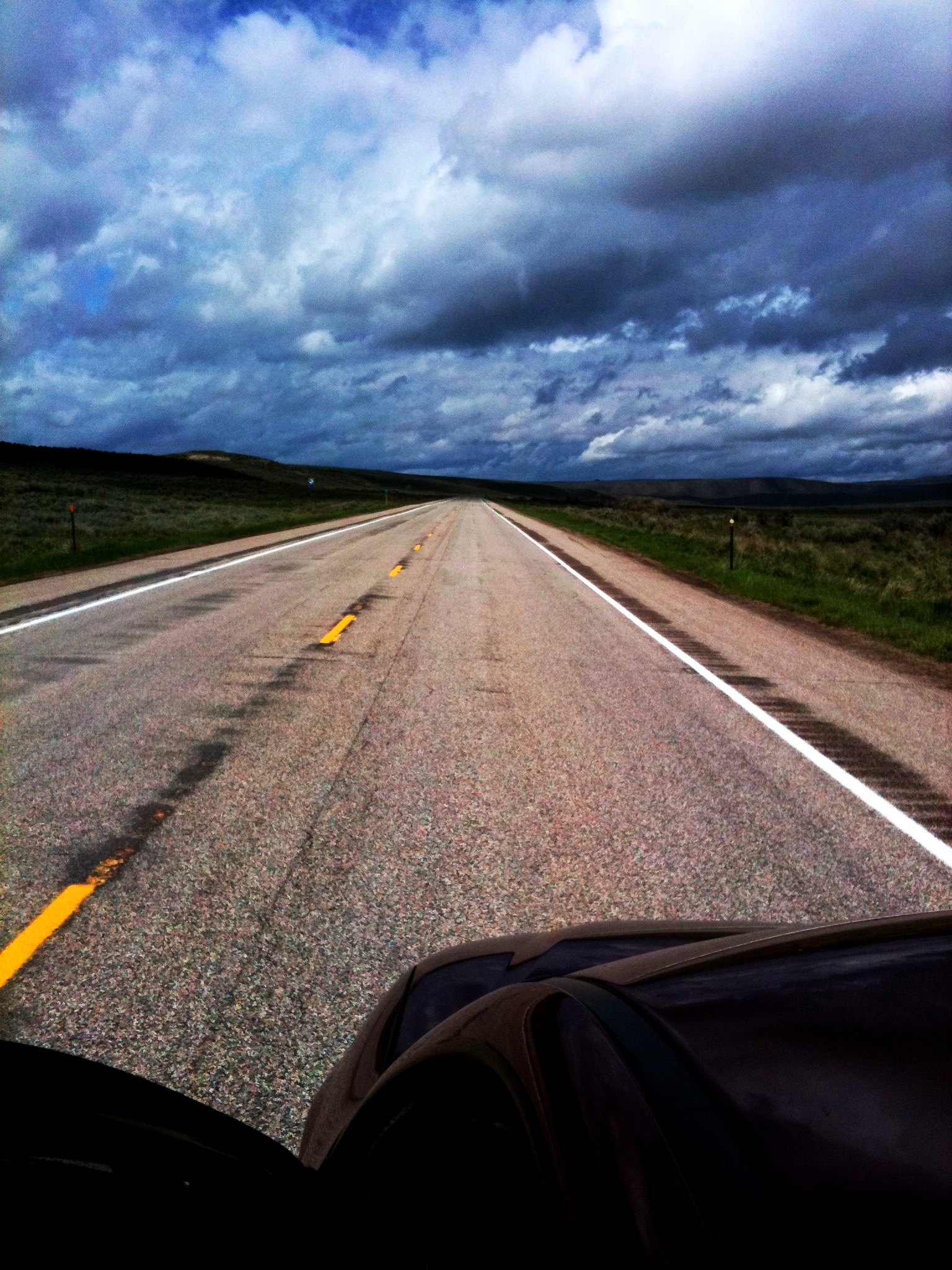
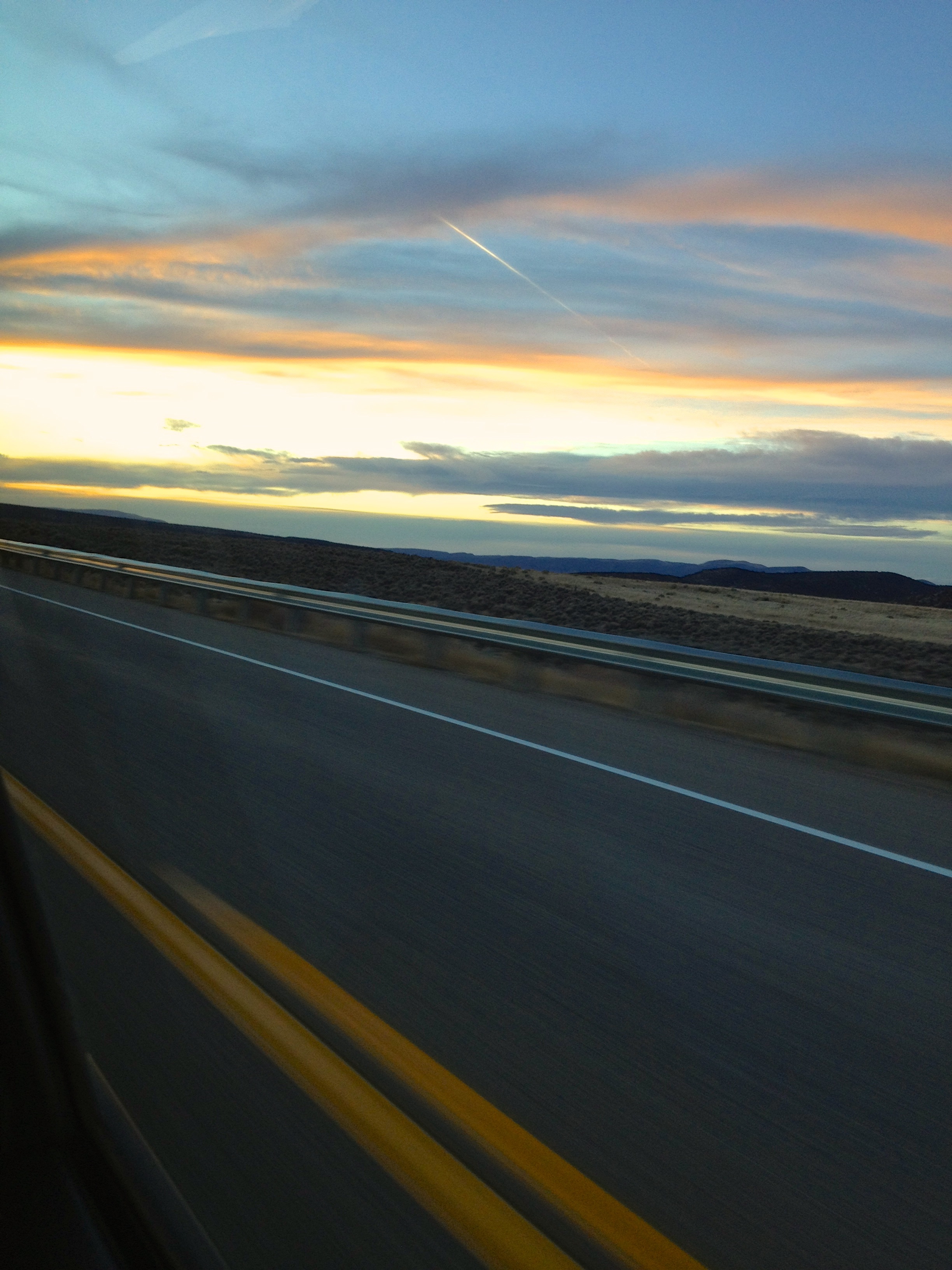
Empty Highway

Highway 40 in Colorado
Topographic Map of Yampa River, Colorado, USA
Find elevation by address:

Places near Yampa River, Colorado, USA:
Elk Springs
Bull Canyon
225 Hillcrest Cir
W Main St, Rangely, CO, USA
Rangely
Dinosaur National Monument
211 Cottonwood Dr
Diamond Mountain
Echo Park Road
Green River Campground
Branded Rock Canyon
Sound Of Silence Nature Trail
Jensen
US-40, Jensen, UT, USA
Dragon
Dragon
Dragon Rd, Evacuation Creek, UT, USA
Atchee Ridge Rd, North-long Draw/Rainbow, UT, USA
Rainbow
The High Lonesome Ranch
Recent Searches:
- Elevation of Groblershoop, South Africa
- Elevation of Power Generation Enterprises | Industrial Diesel Generators, Oak Ave, Canyon Country, CA, USA
- Elevation of Chesaw Rd, Oroville, WA, USA
- Elevation of N, Mt Pleasant, UT, USA
- Elevation of 6 Rue Jules Ferry, Beausoleil, France
- Elevation of Sattva Horizon, 4JC6+G9P, Vinayak Nagar, Kattigenahalli, Bengaluru, Karnataka, India
- Elevation of Great Brook Sports, Gold Star Hwy, Groton, CT, USA
- Elevation of 10 Mountain Laurels Dr, Nashua, NH, USA
- Elevation of 16 Gilboa Ln, Nashua, NH, USA
- Elevation of Laurel Rd, Townsend, TN, USA