Elevation of Branded Rock Canyon, Co Hwy, De Beque, CO, USA
Location: United States > Colorado > Garfield County >
Longitude: -108.42742
Latitude: 39.5597446
Elevation: -10000m / -32808feet
Barometric Pressure: 295KPa
Elevation Map:
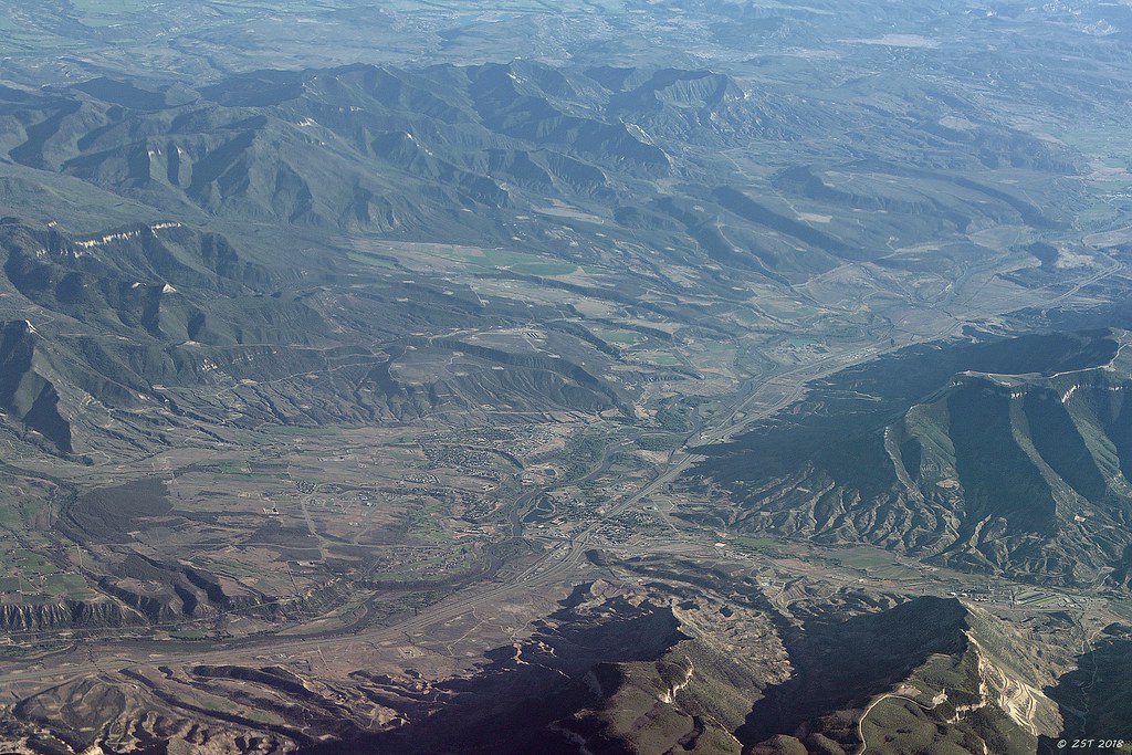
Satellite Map:
Related Photos:

DeBeque House Broadcasting the Milky Way

Outdoor wedding venues in Colorado
Parachute, CO

Luxury ranch resorts Colorado

DeBeque House

Camp Gulch Crossover

Camp Gulch Crossover

Camp Gulch Crossover

Camp Gulch Crossover

Camp Gulch Crossover
Topographic Map of Branded Rock Canyon, Co Hwy, De Beque, CO, USA
Find elevation by address:

Places near Branded Rock Canyon, Co Hwy, De Beque, CO, USA:
The High Lonesome Ranch
225 Hillcrest Cir
W Main St, Rangely, CO, USA
Rangely
211 Cottonwood Dr
Dragon Rd, Evacuation Creek, UT, USA
Dragon
Dragon
Elk Springs
Atchee Ridge Rd, North-long Draw/Rainbow, UT, USA
Rainbow
Yampa River
Bull Canyon
Fantasy Canyon
Dinosaur National Monument
Vernal
Uintah County
Echo Park Road
Green River Campground
Jensen
Recent Searches:
- Elevation of Rojo Ct, Atascadero, CA, USA
- Elevation of Flagstaff Drive, Flagstaff Dr, North Carolina, USA
- Elevation of Avery Ln, Lakeland, FL, USA
- Elevation of Woolwine, VA, USA
- Elevation of Lumagwas Diversified Farmers Multi-Purpose Cooperative, Lumagwas, Adtuyon, RV32+MH7, Pangantucan, Bukidnon, Philippines
- Elevation of Homestead Ridge, New Braunfels, TX, USA
- Elevation of Orchard Road, Orchard Rd, Marlborough, NY, USA
- Elevation of 12 Hutchinson Woods Dr, Fletcher, NC, USA
- Elevation of Holloway Ave, San Francisco, CA, USA
- Elevation of Norfolk, NY, USA