Elevation of Daugherty Ln, Richwoods, MO, USA
Location: United States > Missouri > Washington County >
Longitude: -90.844700
Latitude: 38.129459
Elevation: 296m / 971feet
Barometric Pressure: 98KPa
Elevation Map:
Satellite Map:
Related Photos:
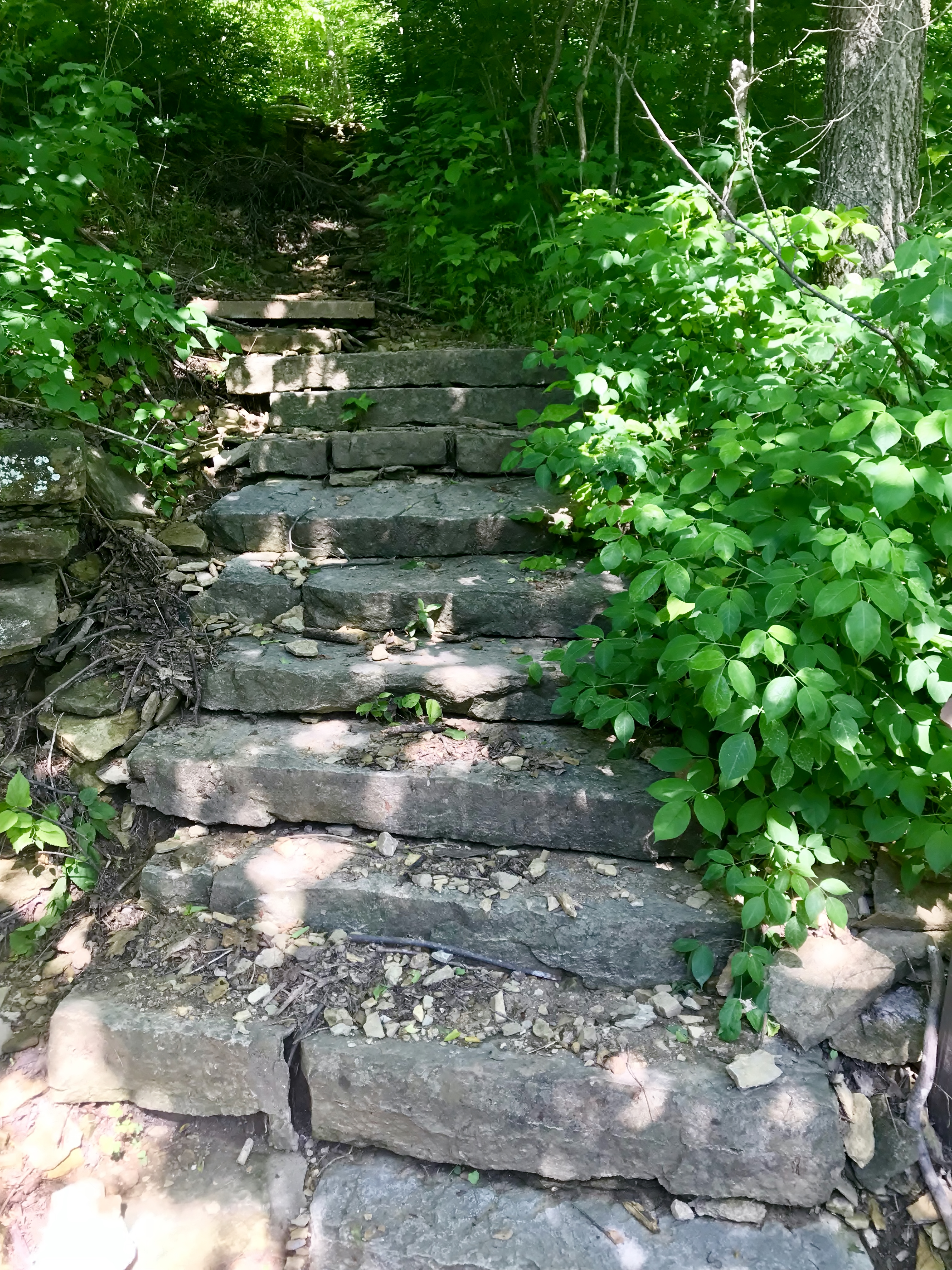
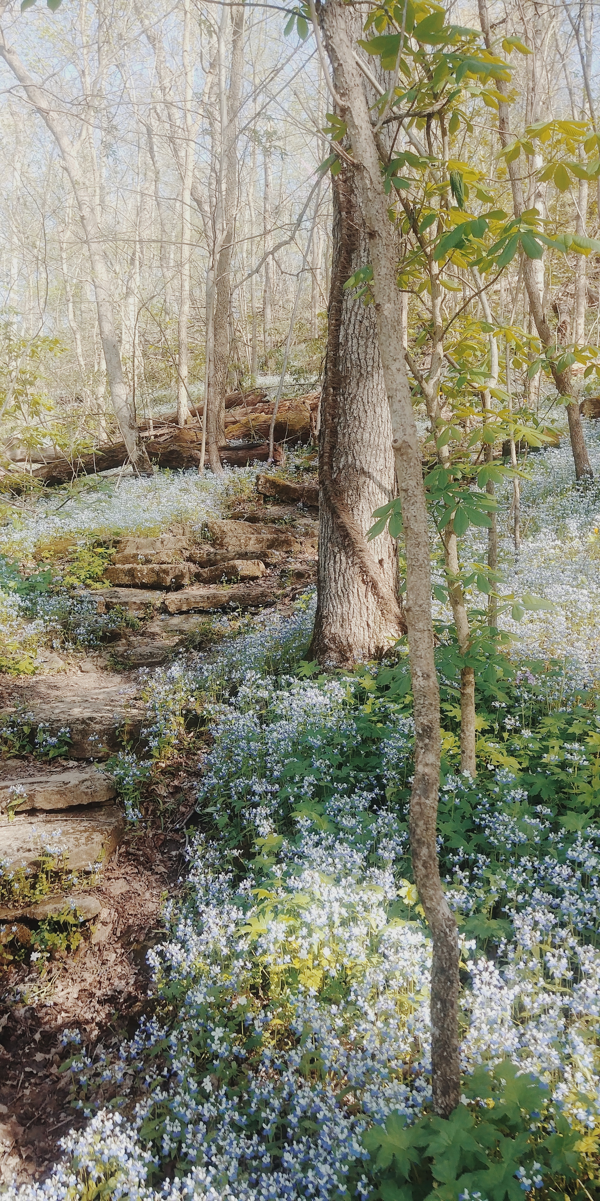
1,000 Steps Trail
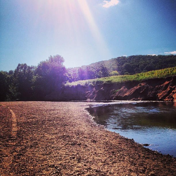
☀ Not to shabby of a day
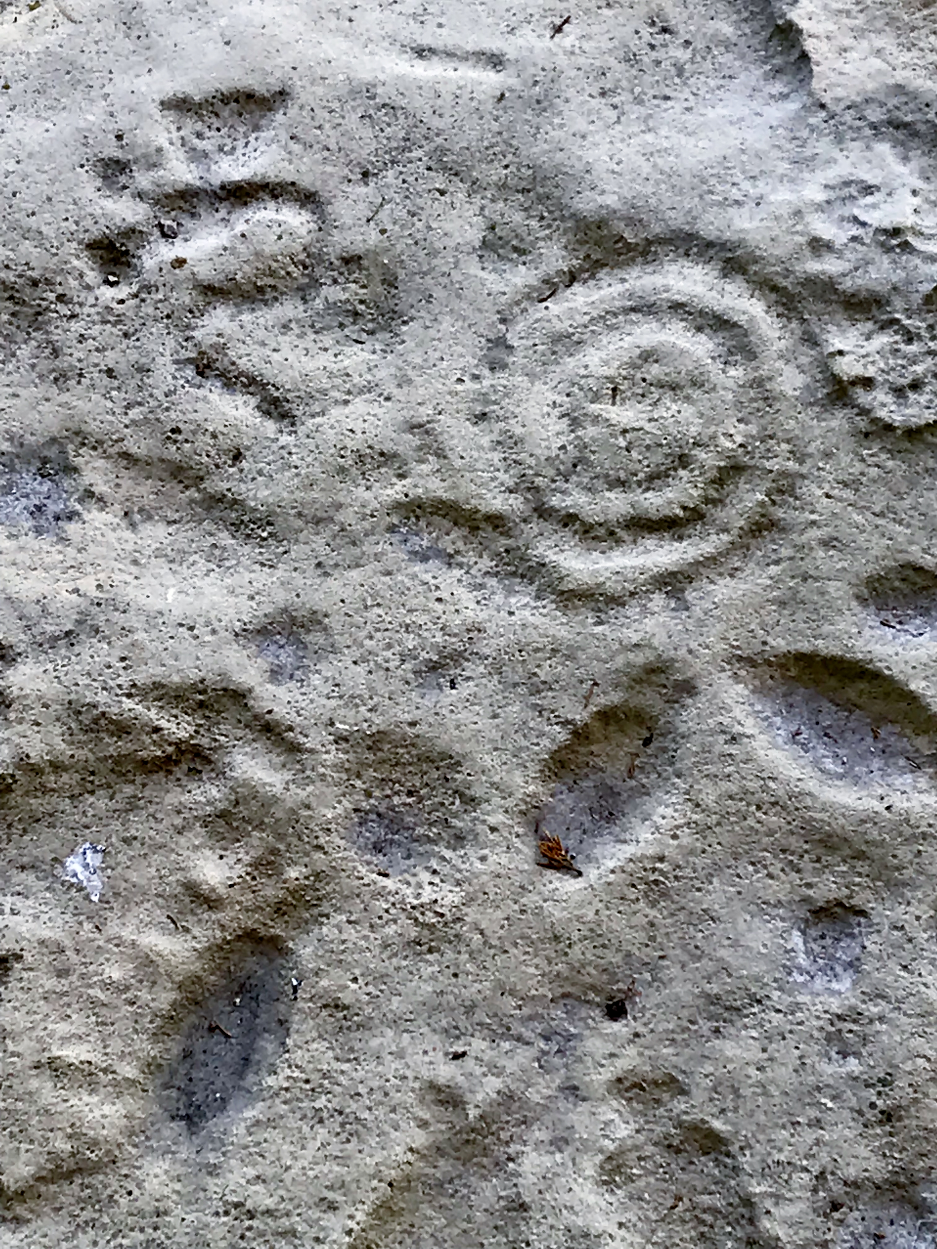
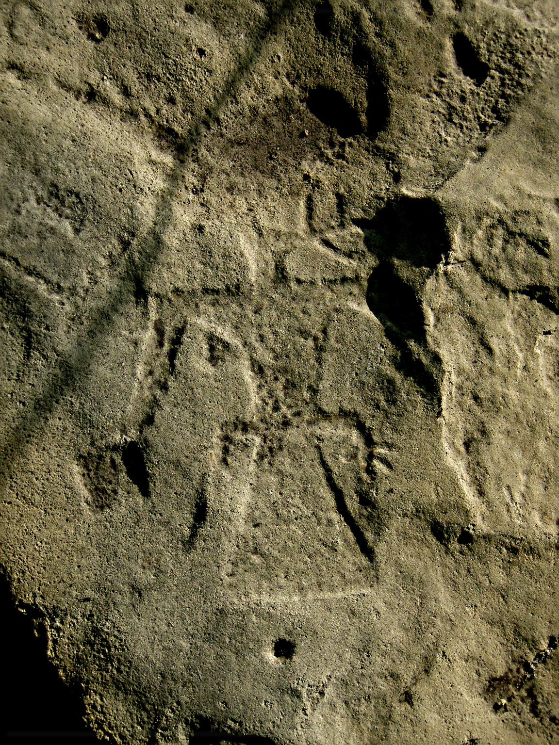
Petroglyph - Washington State Park
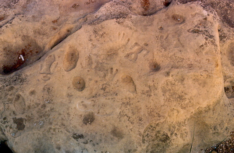
Petroglyphs, Washington State Park, Washington County (Mo.), 8 August 1981
Speaking Thunderbird Petroglyph
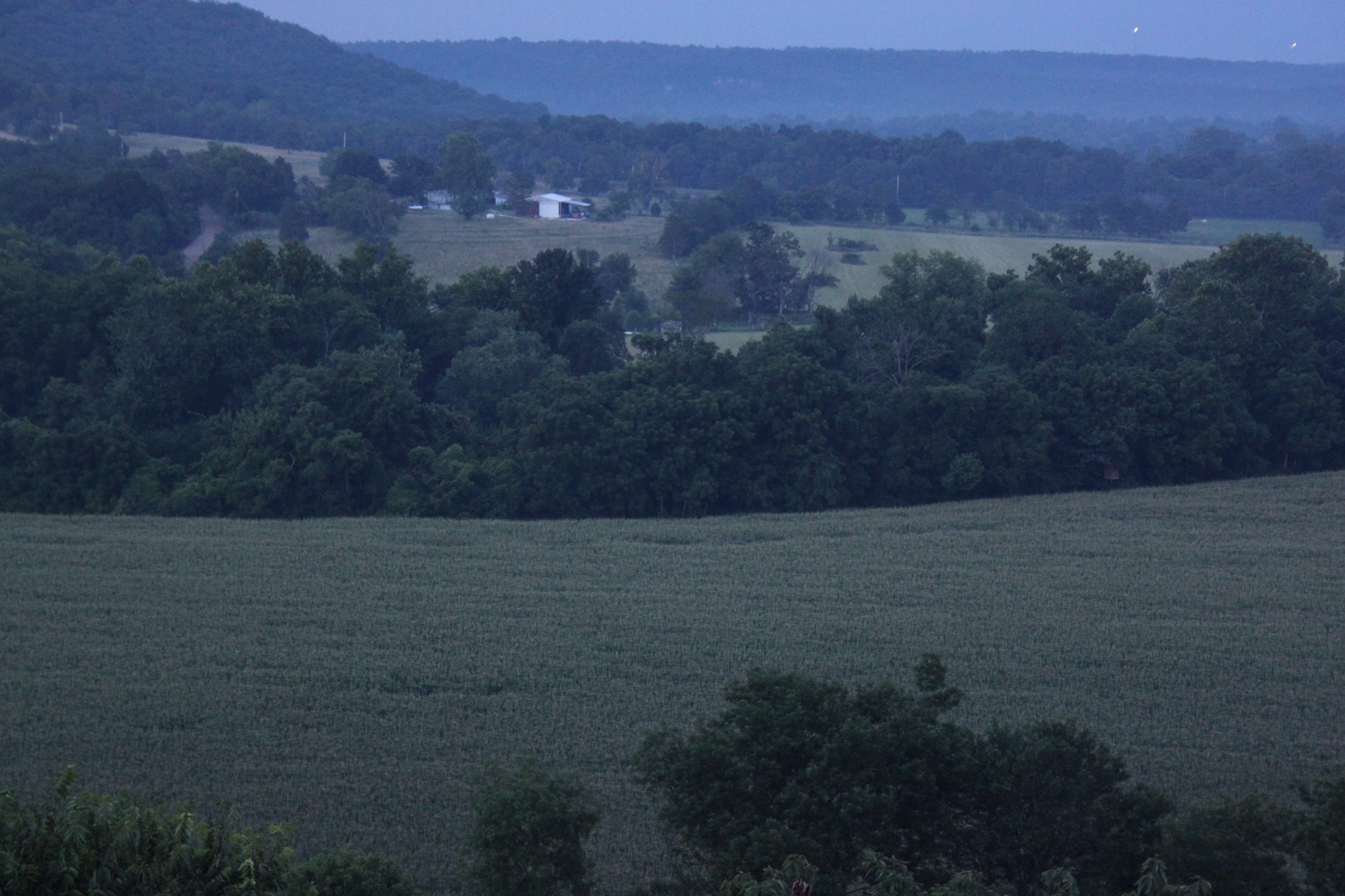
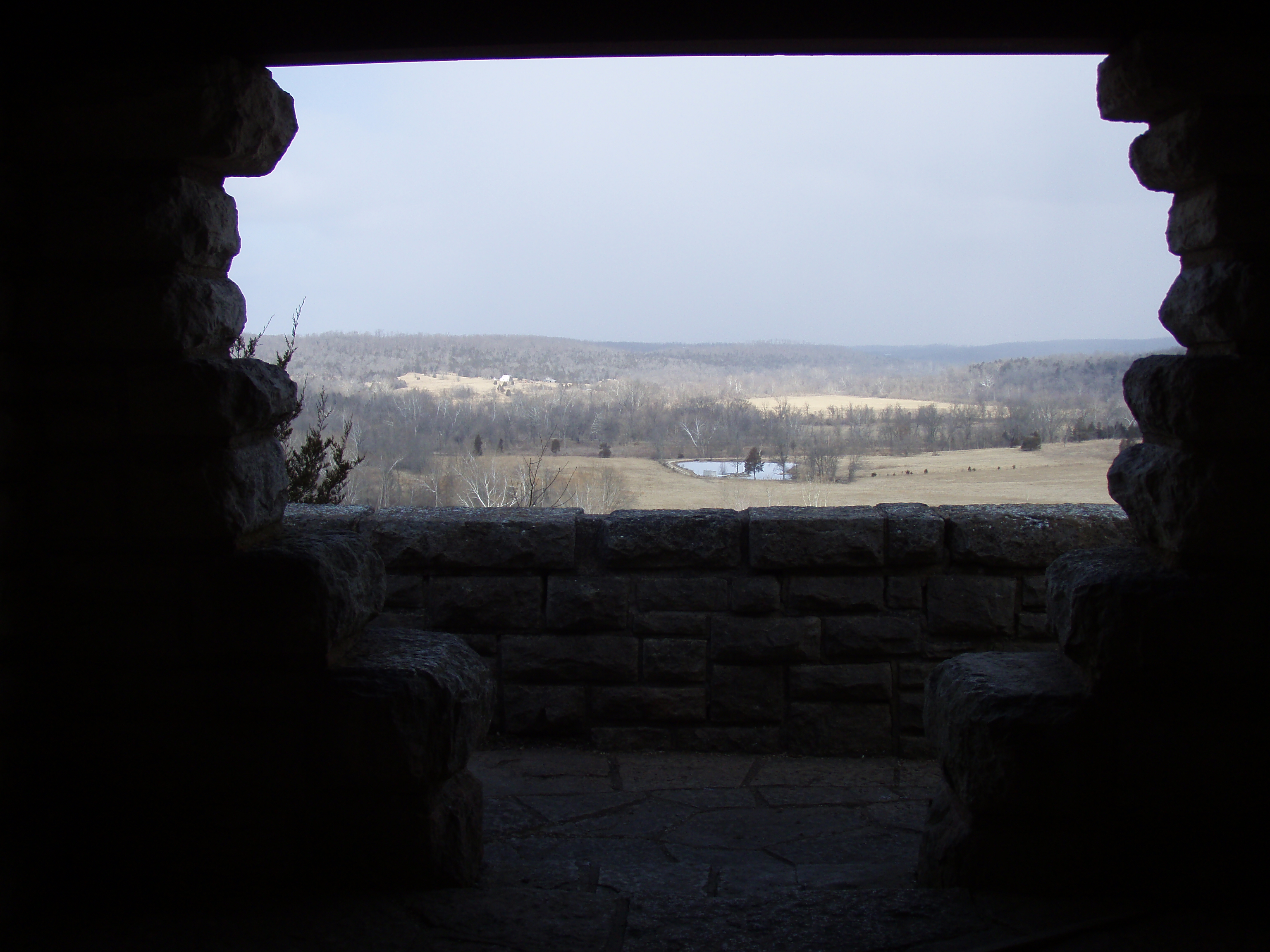
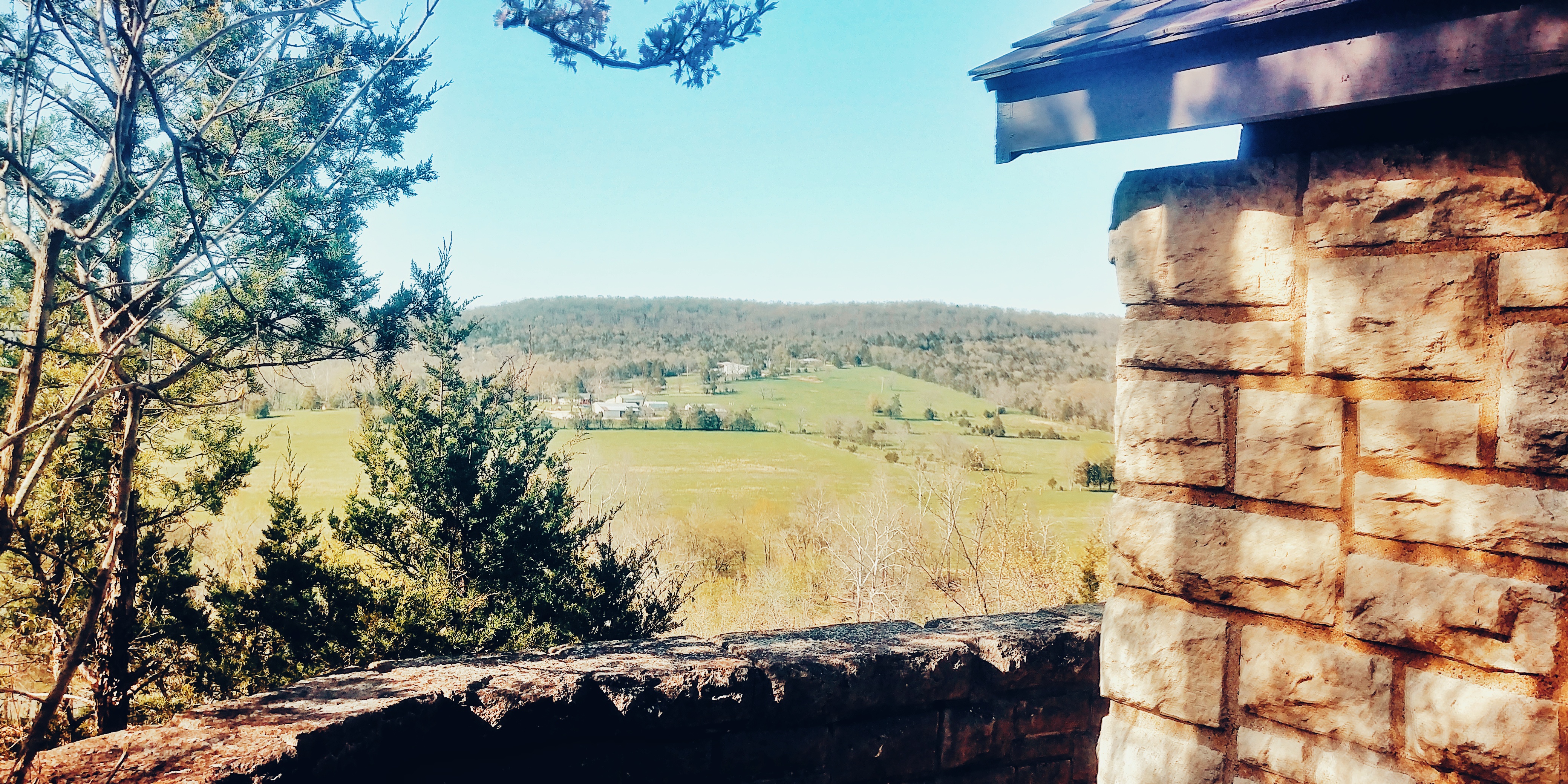
Moonlit Scenic Overlook

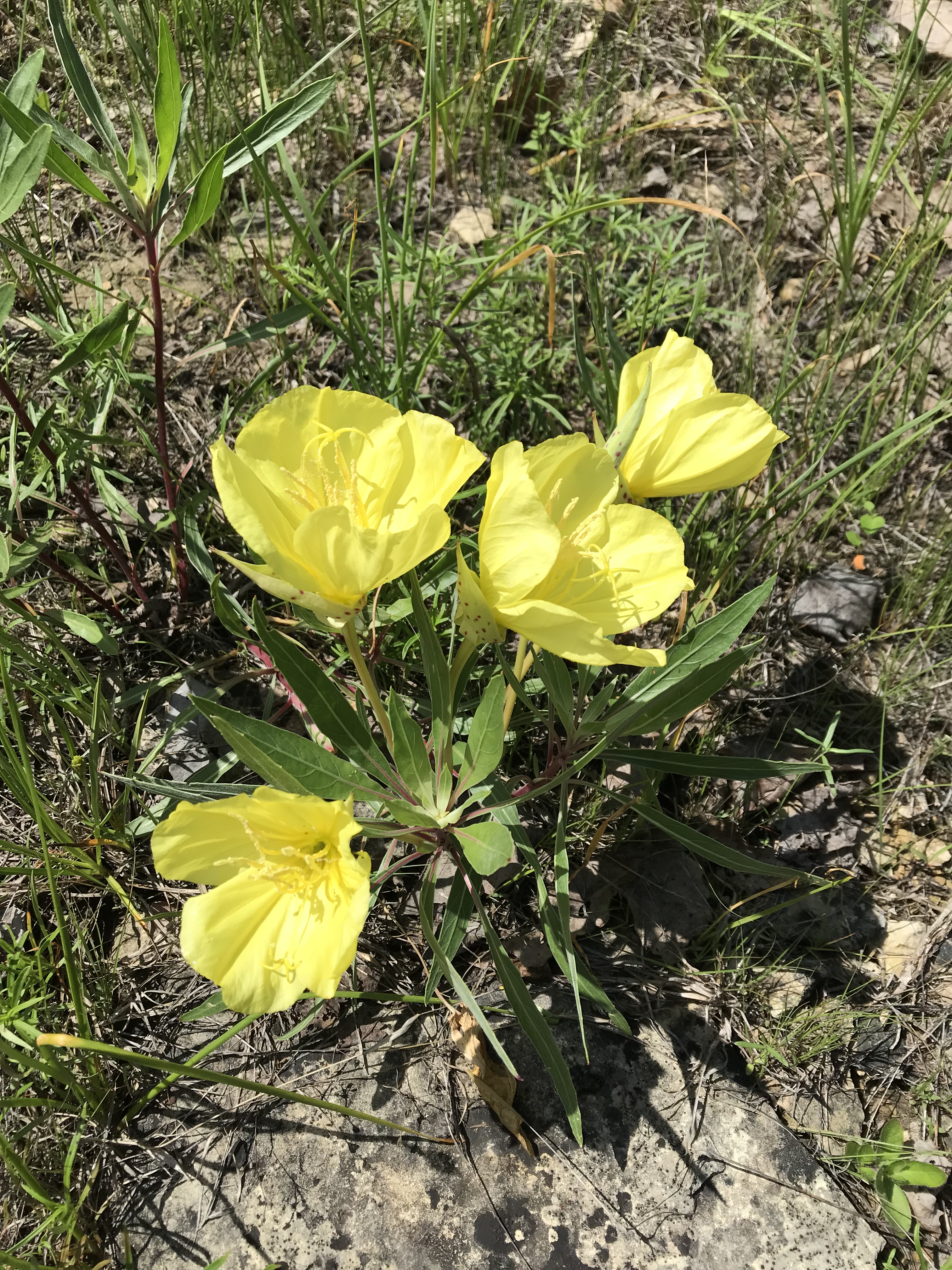
Blue-eyed Mary
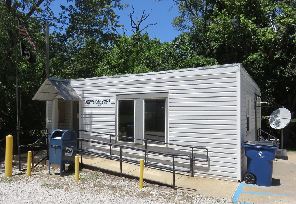
Post Office 63071 (Richwoods, Missouri)

Richwoods School (Richwoods, Missouri)
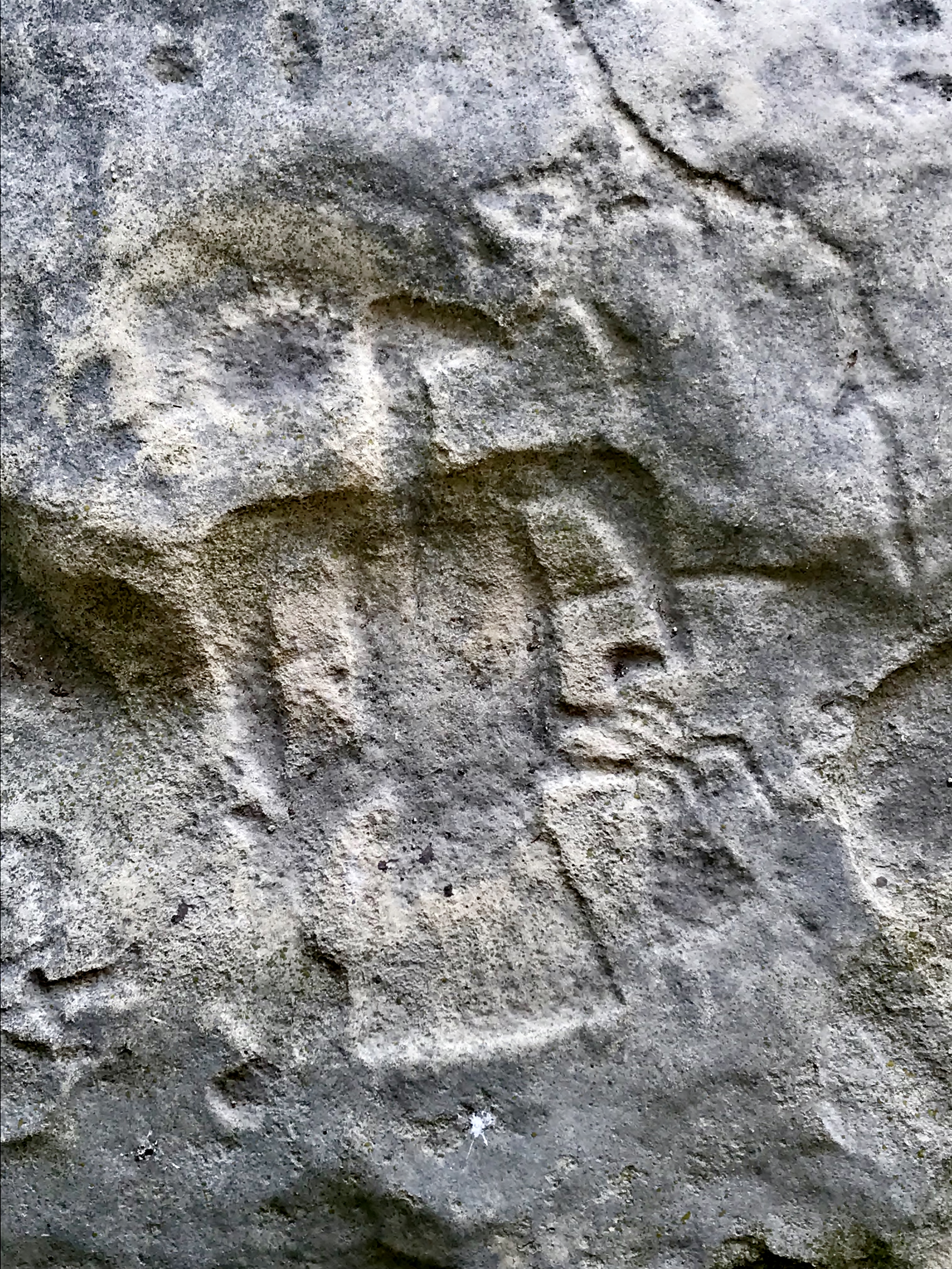
Petroglyph - Washington State Park
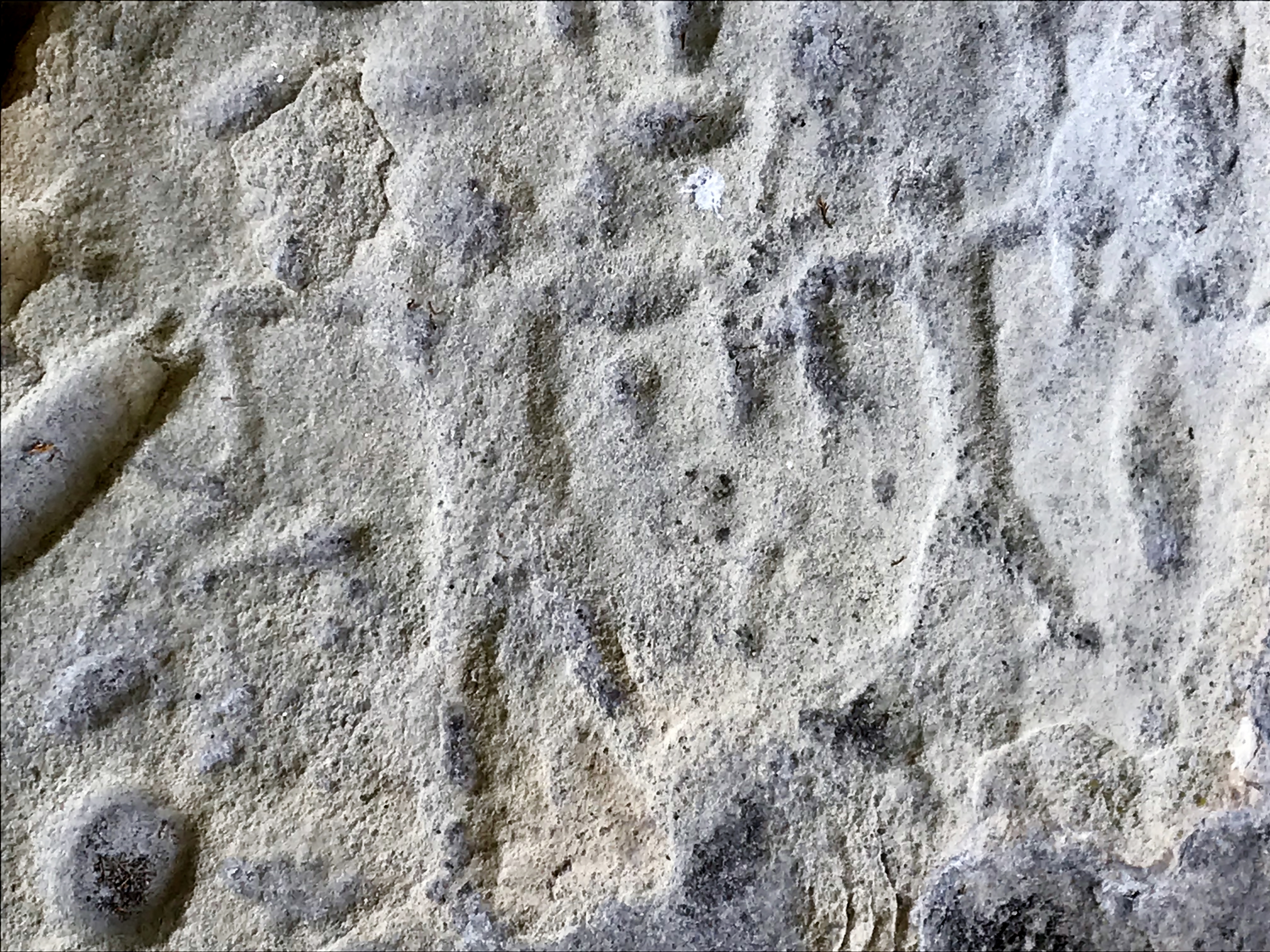
Petroglyph - Washington State Park
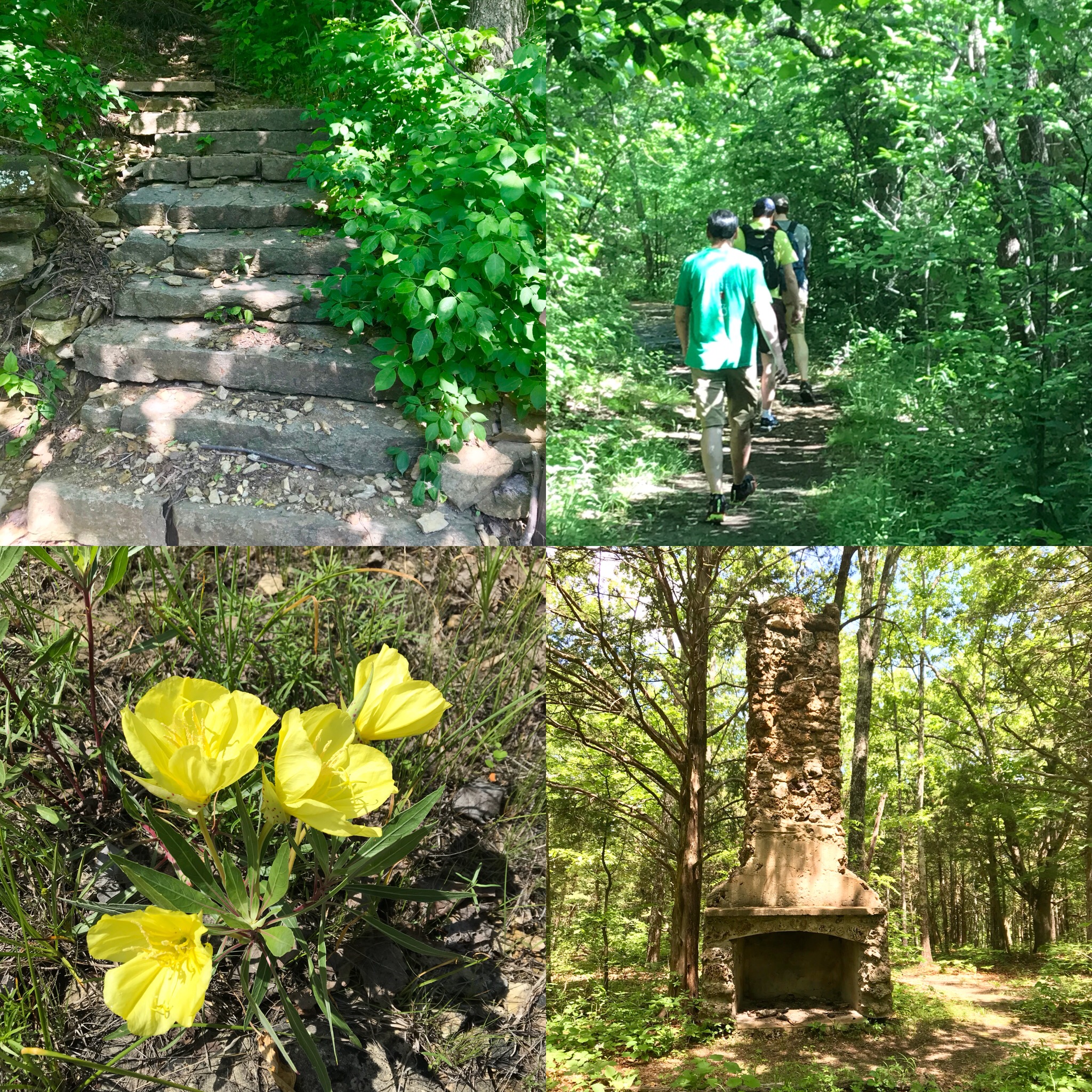
Washington State Park
Hiking Washington State Park
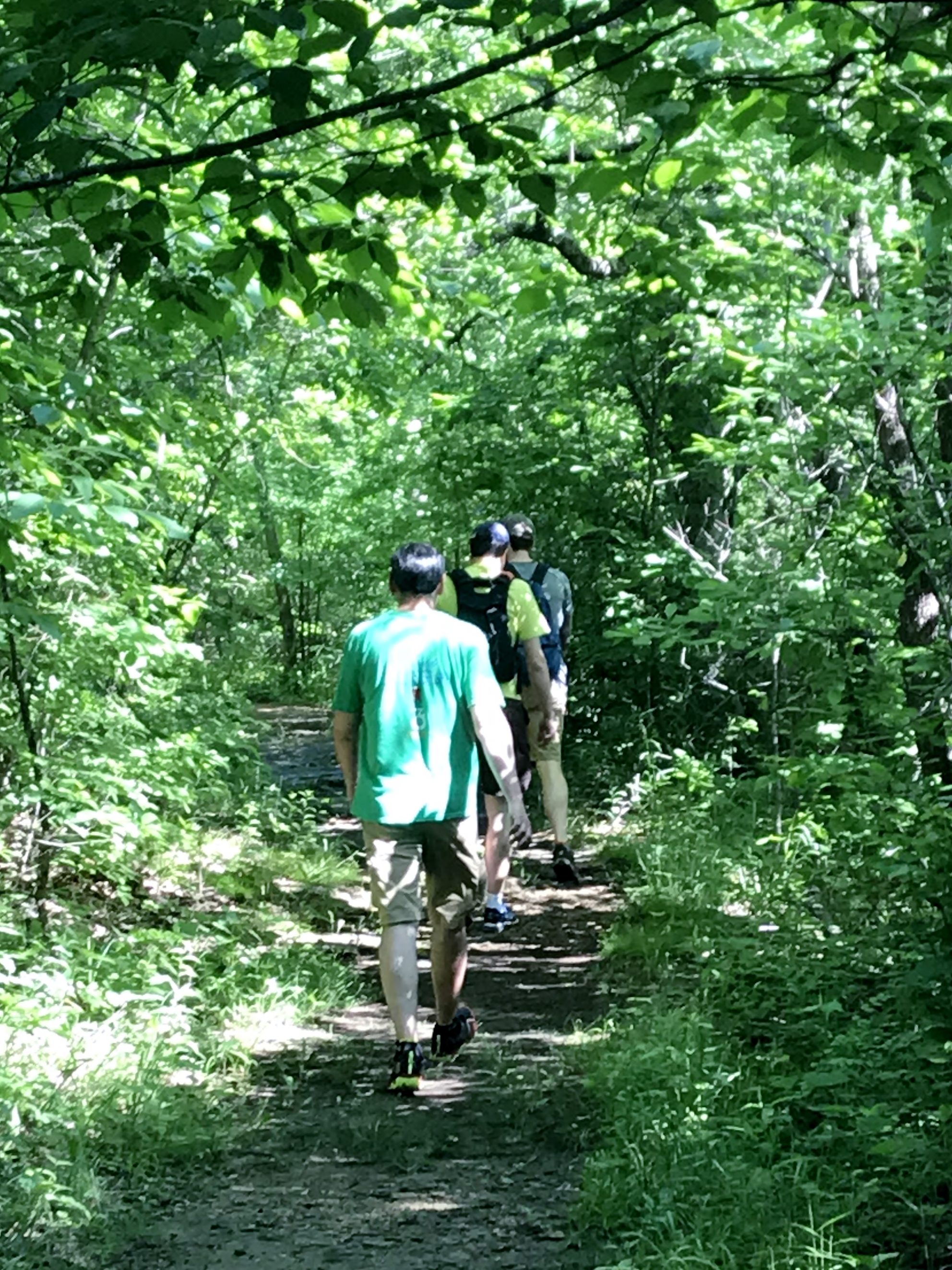
Hiking Washington State Park
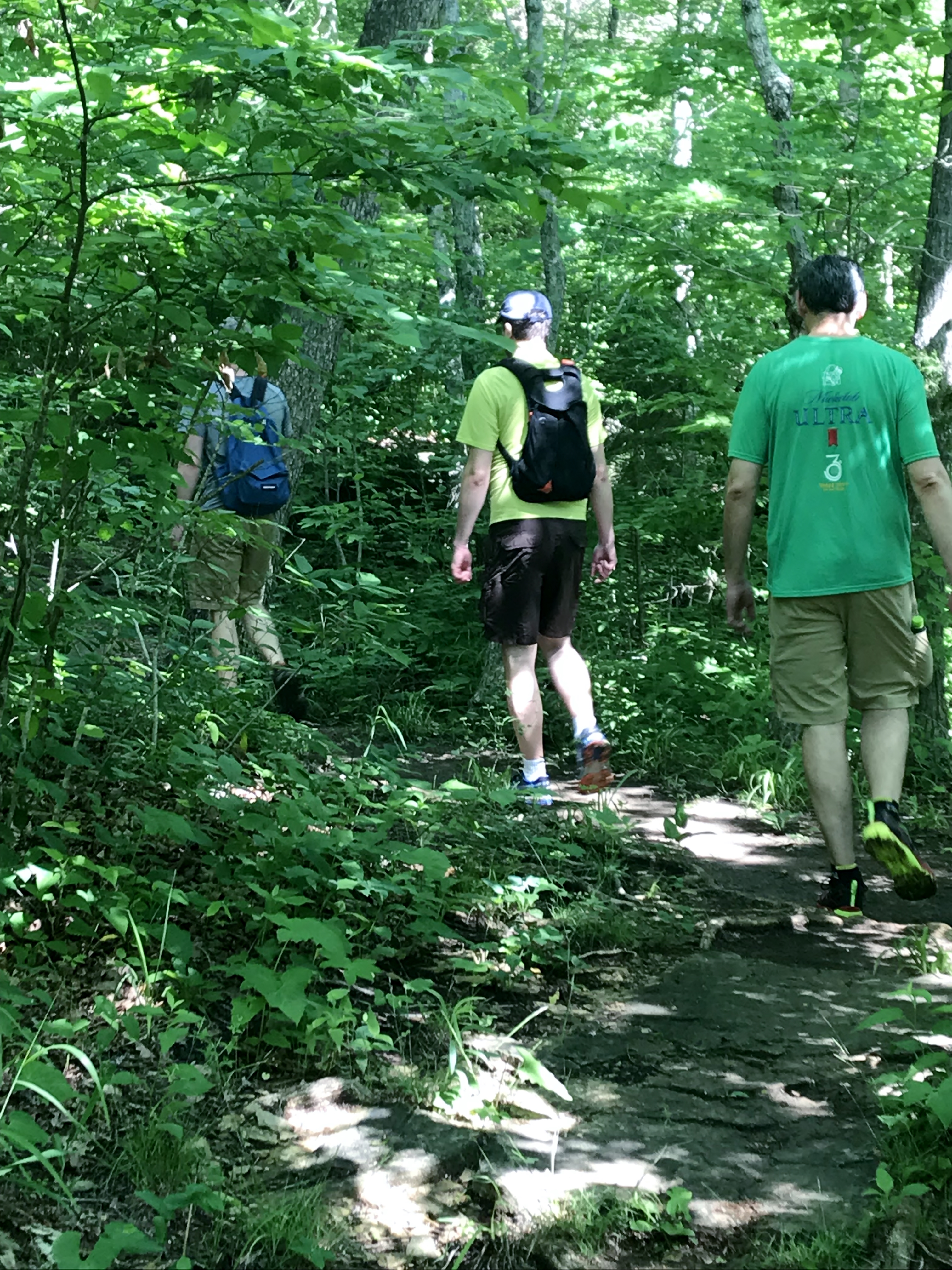
Hiking Washington State Park

Hiking Washington State Park
Washington State Park
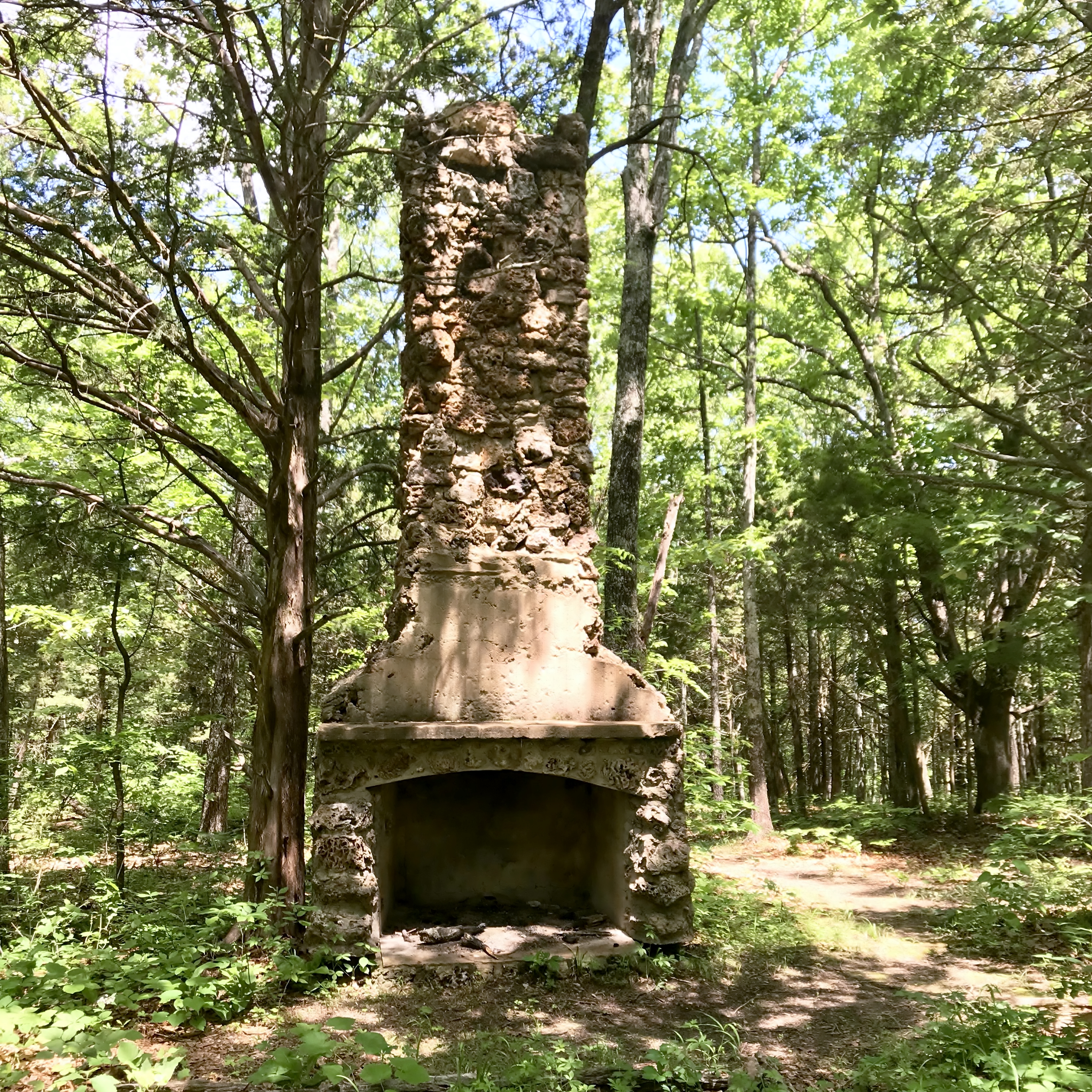
Old Chimney
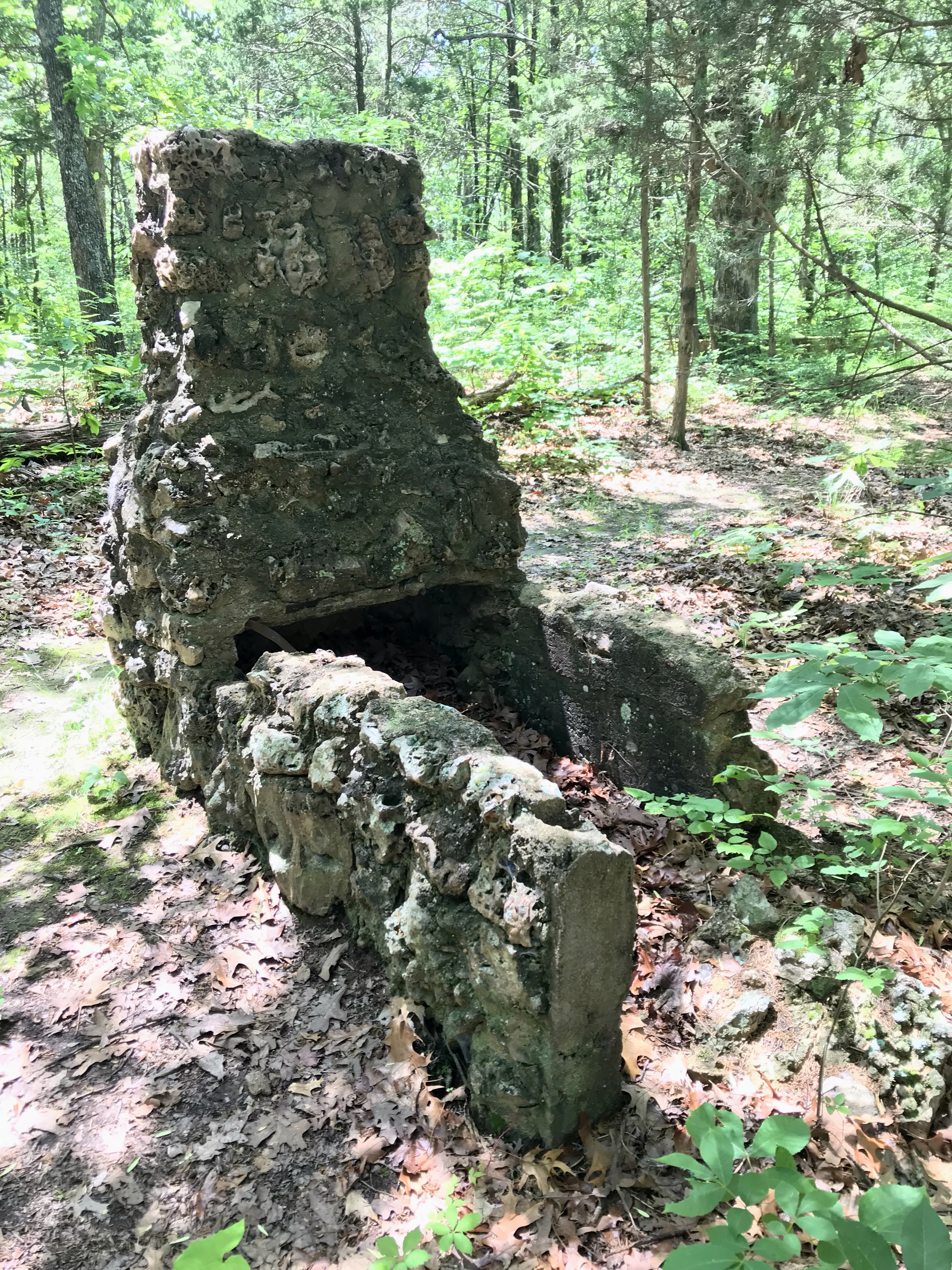
Old Chimney

Hiking Washington State Park

Hiking Washington State Park
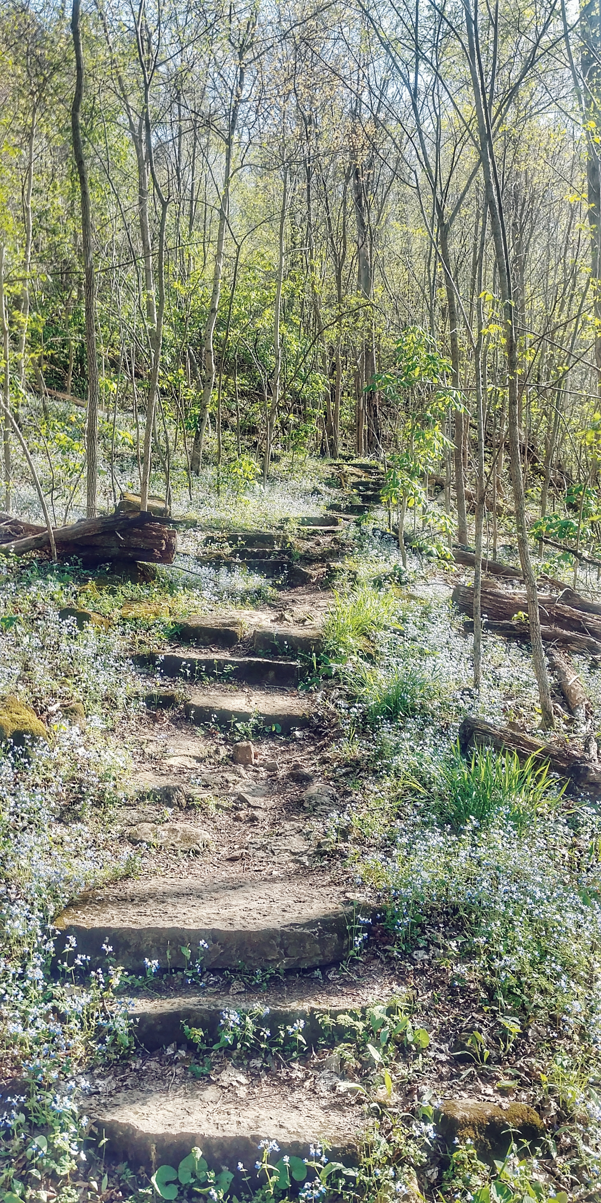
1000 Steps trail at Washington State Park MO
1000 Steps trail at Washington State Park MO
1000 Steps trail at Washington State Park MO
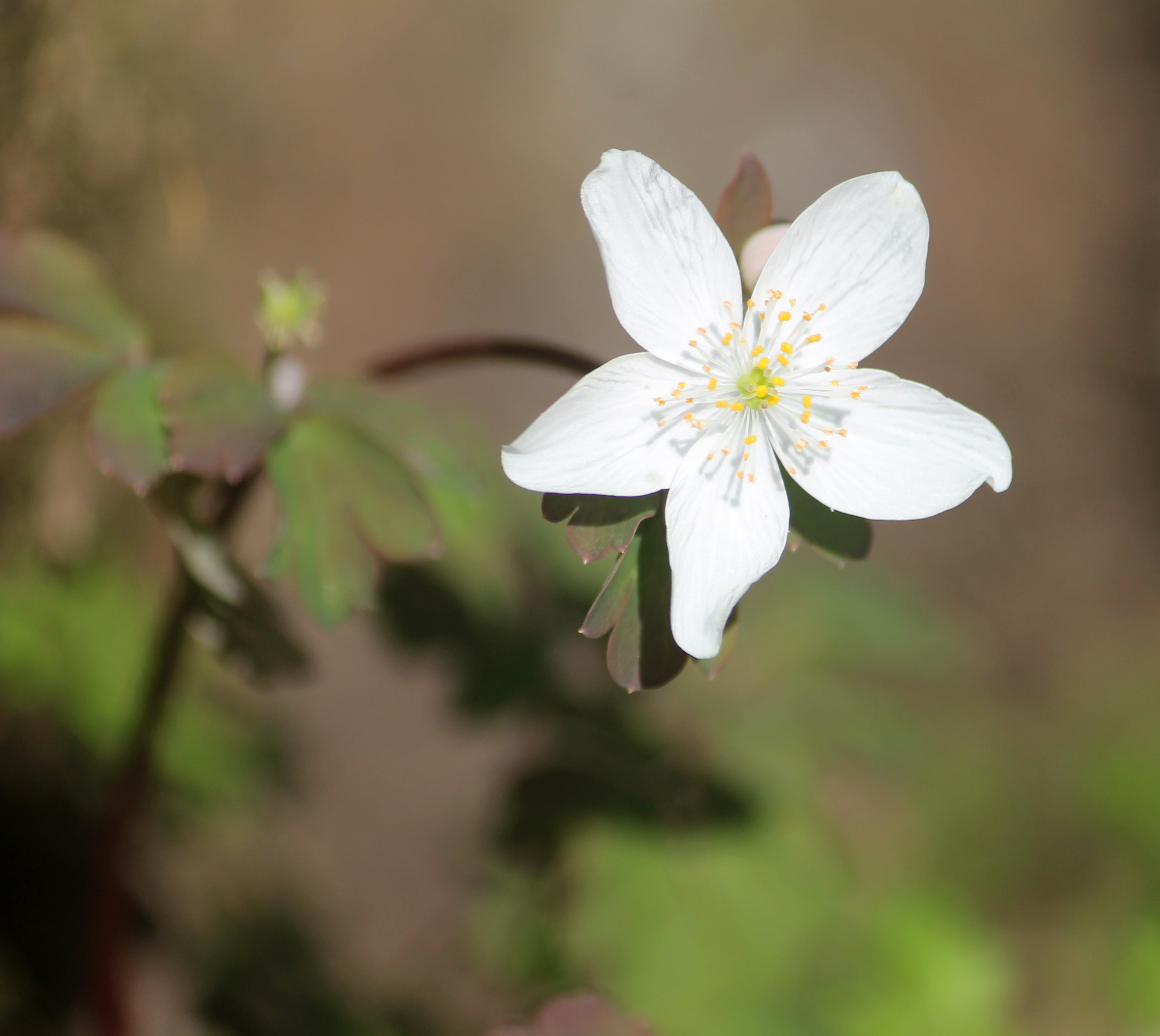
False Rue Anemone
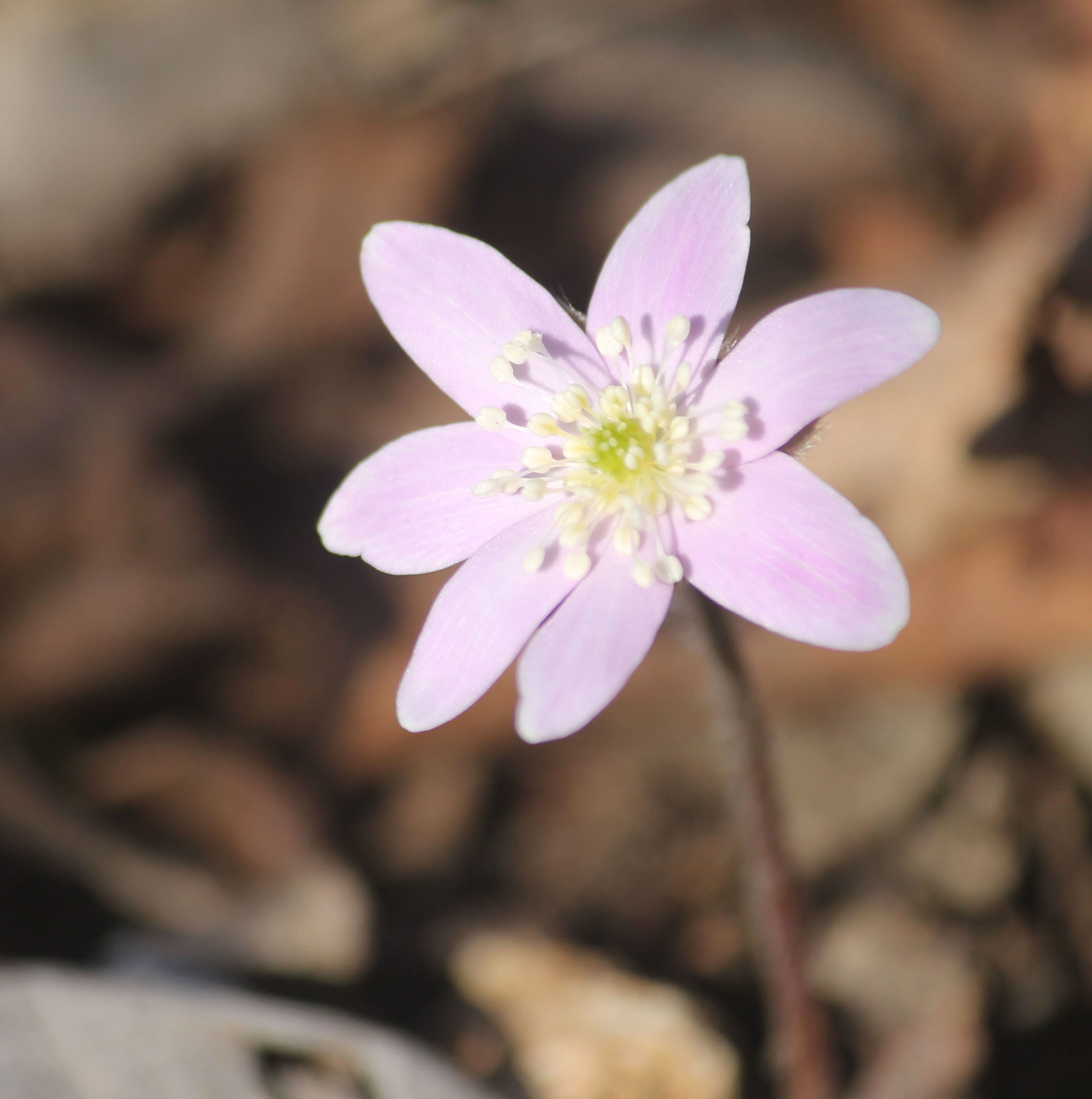
Sharp-lobed Hepatica
Topographic Map of Daugherty Ln, Richwoods, MO, USA
Find elevation by address:

Places near Daugherty Ln, Richwoods, MO, USA:
Richwoods
Richwoods Township
Goose Creek Road
MO-, Potosi, MO, USA
7657 State Rd H
Little Indian Creek Ca Shooting Range
10364 Bequette Rd
22019 Mo-21
Liberty Township
11567 Ware Lake Rd
Cannon Mines Rd, Cadet, MO, USA
Johnson Township
3722 Mo-30
State Rd Y, Dittmer, MO, USA
Big River Heights Road
Big River Township
10455 Komo Rd
MO-, Sullivan, MO, USA
10402 Neal Dr
44 Britton Rd, De Soto, MO, USA
Recent Searches:
- Elevation of Leguwa, Nepal
- Elevation of County Rd, Enterprise, AL, USA
- Elevation of Kolchuginsky District, Vladimir Oblast, Russia
- Elevation of Shustino, Vladimir Oblast, Russia
- Elevation of Lampiasi St, Sarasota, FL, USA
- Elevation of Elwyn Dr, Roanoke Rapids, NC, USA
- Elevation of Congressional Dr, Stevensville, MD, USA
- Elevation of Bellview Rd, McLean, VA, USA
- Elevation of Stage Island Rd, Chatham, MA, USA
- Elevation of Shibuya Scramble Crossing, 21 Udagawacho, Shibuya City, Tokyo -, Japan