Elevation of Neal Dr, Dittmer, MO, USA
Location: United States > Missouri > Jefferson County > Dittmer >
Longitude: -90.740417
Latitude: 38.2953207
Elevation: 236m / 774feet
Barometric Pressure: 99KPa
Elevation Map:
Satellite Map:
Related Photos:

Cedar Hill Mill - No 1 BW

Belews Creek Chapel - Jefferson County, Missouri

Cedar Hill Mill - No. 1

Cedar Hill Mill - No. 3

Cedar Hill Mill - No. 2

Blue Eyed Horse B&W

Blue Eyed Horse

LaBarque Creek

Cedar Hill Mill - No 2

Blue Grosbeak at Robertsville State Park - No 1
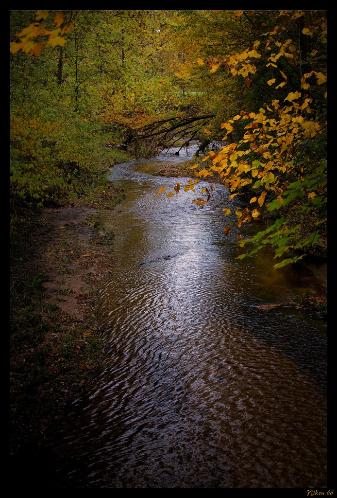
LaBarque Creek

Entrance Sign

Valley View Glades Natural Area, near Morse Mill, Missouri, USA - view with long shadows, by moonlight

Clara, Hiker Extraordinaire

Squaw Hill

Bill and Clara

Bill and Clara

Tired Hiking Sidekick

Tired Hiking Sidekick

Clara, Hiker Extraordinaire

Black Widow

IMG_2181-1

Bill, Clara, and Willa Hiking toward the glade

Initial view when you get on the trail

Swamp, at River Round Conservation Area, near Moselle, Missouri, USA

Subway Falls

The Lalumondiere Mill in Byrnesville, Mo

Fishing the Big River April 1st
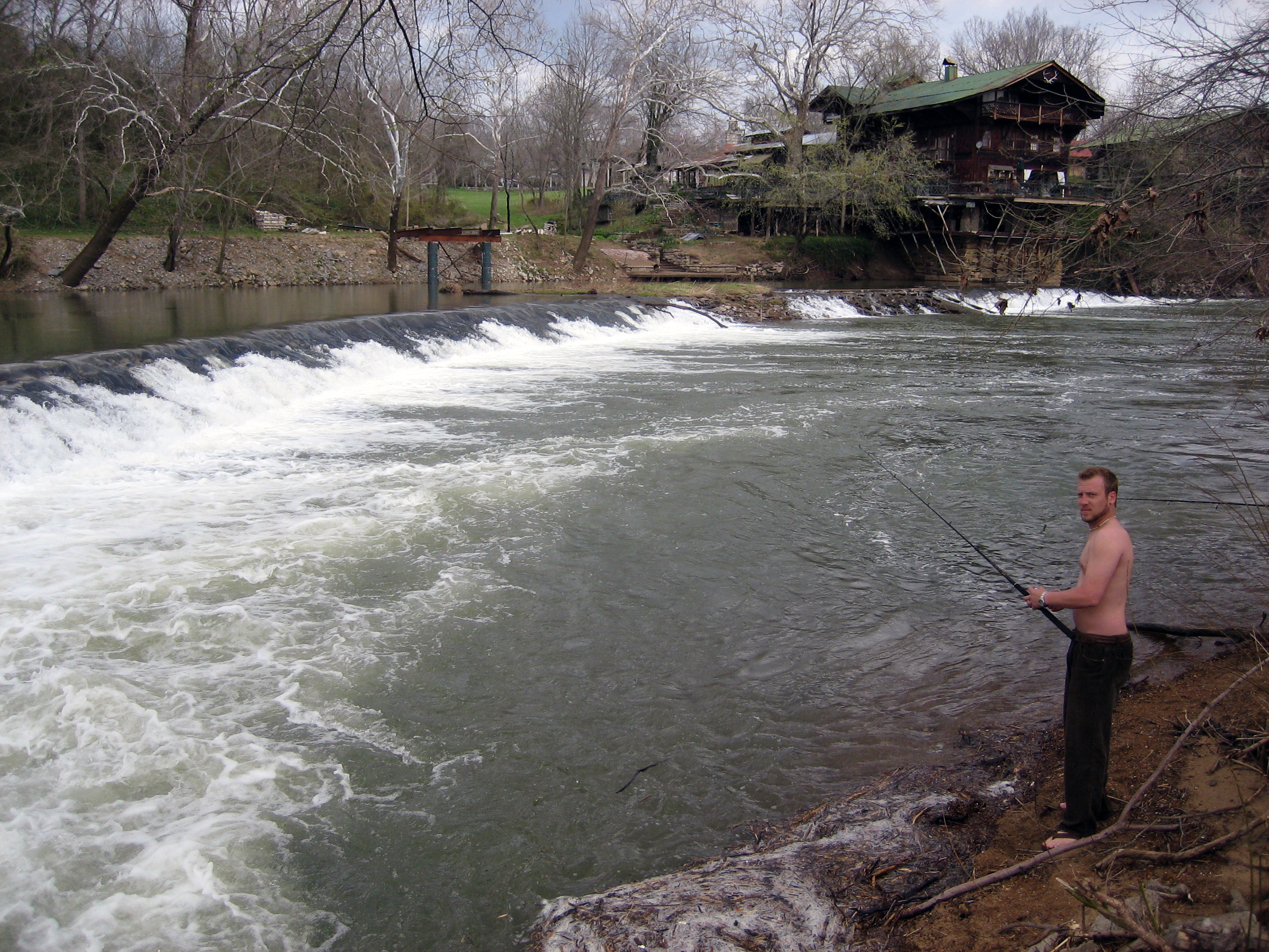
Fishing the Big River April 1st

Labarque falls

Fishing the Big River April 1st

Fishing the Big River April 1st

Glades at Labarque

into Labarque

a tale of two falls

Fishing the Big River April 1st

Fishing the Big River April 1st

Fishing the Big River April 1st

Fishing the Big River April 1st

La_Barque 1

Fishing the Big River April 1st

La_Barque 2
Topographic Map of Neal Dr, Dittmer, MO, USA
Find elevation by address:

Places near Neal Dr, Dittmer, MO, USA:
10455 Komo Rd
State Rd Y, Dittmer, MO, USA
Oermann Rd, Dittmer, MO, USA
8678 Weber Dairy Rd
Big River Township
9985 Township Ln
9479 Jones Creek Rd
6127 Missouri Hh
6127 Missouri Hh
6127 Missouri Hh
7559 Missouri Hh
8597 Missouri Hh
8597 Missouri Hh
Dittmer
7762 Dittmer Rd
10545 Tom Frost Rd
1619 Finney Rd
3722 Mo-30
Bridle Trail Drive
11567 Ware Lake Rd
Recent Searches:
- Elevation of Leguwa, Nepal
- Elevation of County Rd, Enterprise, AL, USA
- Elevation of Kolchuginsky District, Vladimir Oblast, Russia
- Elevation of Shustino, Vladimir Oblast, Russia
- Elevation of Lampiasi St, Sarasota, FL, USA
- Elevation of Elwyn Dr, Roanoke Rapids, NC, USA
- Elevation of Congressional Dr, Stevensville, MD, USA
- Elevation of Bellview Rd, McLean, VA, USA
- Elevation of Stage Island Rd, Chatham, MA, USA
- Elevation of Shibuya Scramble Crossing, 21 Udagawacho, Shibuya City, Tokyo -, Japan