Elevation of Big River Township, MO, USA
Location: United States > Missouri > Jefferson County >

Longitude: -90.715274

Latitude: 38.2722298

Elevation: 202m / 663feet

Barometric Pressure: 99KPa

Elevation Map:

elevation map of Big River Township, MO, USA
Satellite Map:

Satellite map of Big River Township, MO, USA
Related Photos:

Flip a rock, find a scorpion
Dogwood Bark
Flip a rock, find a scorpion
sunset hdr sigma1020mmf456exdc pentaxk100d
Squaw Hill
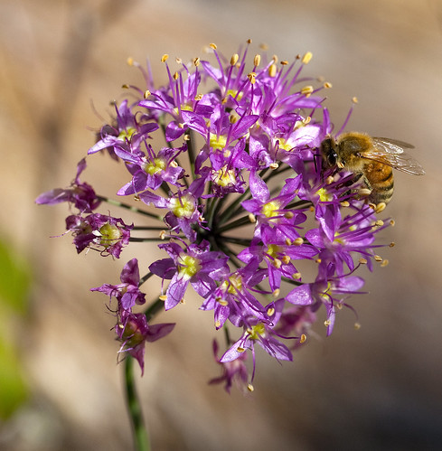
100mm missouri wildflower honeybee missouriparks valleyviewglade missouriconservationareas
Wild Onion
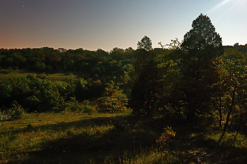
Valley View Glades Natural Area, near Morse Mill, Missouri, USA - view with long shadows, by moonlight
Pano of the Glade
Initial view when you get on the trail
Entrance Sign
Shelf Fungi on a Dead American Hornbeam Tree
Dogwood Canopy
Shelf Fungi on a Dead American Hornbeam Tree
Tired Hiking Sidekick
Dogwood Bark
Tired Hiking Sidekick
Shelf Fungi on a Dead American Hornbeam Tree
Tired Hiking Sidekick
Shelf Fungi on a Dead American Hornbeam Tree
Bill showing Willa what to look for
Subway Falls
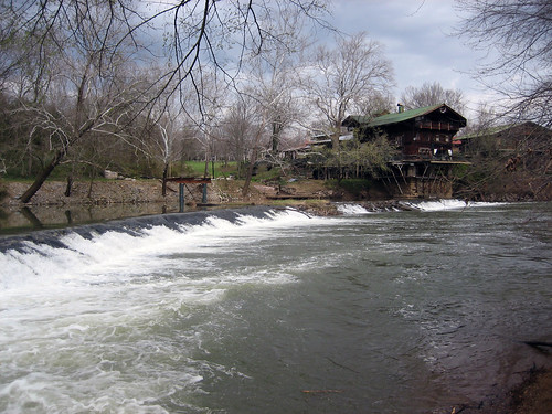
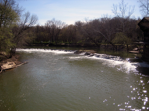
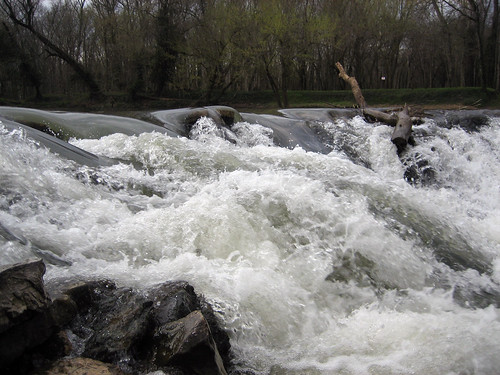
river geotagged waterfall fishing geotoolblockrockercom geolat38390862426828 geolon9063854277133942
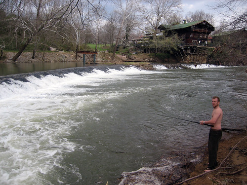
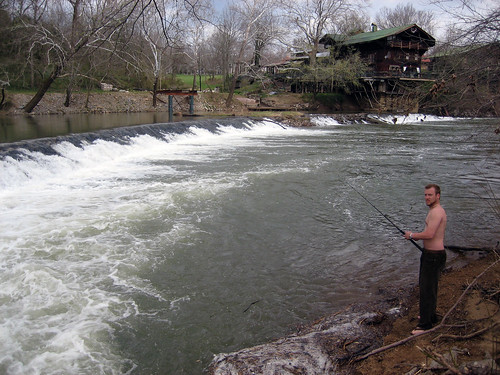
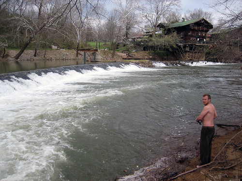
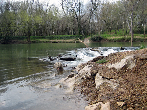
Fishing the Big River April 1st
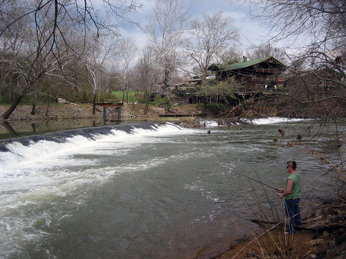
river geotagged waterfall fishing geotoolblockrockercom geolat3839085401764617 geolon9063854813575745
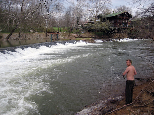
Fishing the Big River April 1st
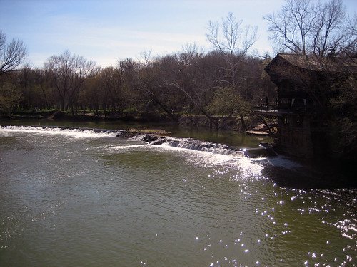
mill canon eos sigma missouri 1770 30d sigma1770 byrnesville lalumondiere
The Lalumondiere Mill in Byrnesville, Mo
river geotagged waterfall fishing geotoolblockrockercom geolon9063854813575745 geolat3839086663141854
Fishing the Big River April 1st
pink blue winter orange clouds sunrise river big purple mo missouri
Big River, Morse Mill, MO
river geotagged fishing missouri geotoolblockrockercom geolon9063852667808533 geolat3839086663141854
Fishing the Big River April 1st
river geotagged fishing geotoolblockrockercom geolon9063852667808533 geolat3839084140387161
Fishing the Big River April 1st
river geotagged waterfall fishing geotoolblockrockercom geolat3839087504059889 geolon9063852667808533
Fishing the Big River April 1st
river geotagged waterfall fishing geotoolblockrockercom geolat38392699809604665 geolon906376039981842
Fishing the Big River April 1st
river geotagged waterfall fishing missouri geotoolblockrockercom geolat3839085401764617 geolon9063855350017548
Fishing the Big River April 1st
river geotagged waterfall fishing geotoolblockrockercom geolat38390881347483514 geolon906385588645935
Fishing the Big River April 1st
river geotagged fishing geotoolblockrockercom geolat383908582222372 geolon9063856959342957
Fishing the Big River April 1st
shrine catholic missouri grotto eureka franciscan blackmadonna
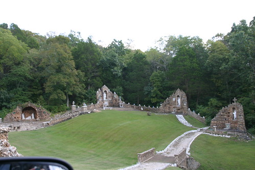
Black Madonna Shrine (35)
river geotagged waterfall fishing geotoolblockrockercom geolat38390862426828 geolon9063853740692139
Fishing the Big River April 1st
river geotagged waterfall fishing geotoolblockrockercom geolat38391972430243875 geolon9063827455043793
Fishing the Big River April 1st
river geotagged waterfall fishing geotoolblockrockercom geolon9063851594924927 geolat3839088344977825
Fishing the Big River April 1st
Bill, Clara, and Willa Hiking toward the glade
cameraphone horses hillsboromissouri htcevo
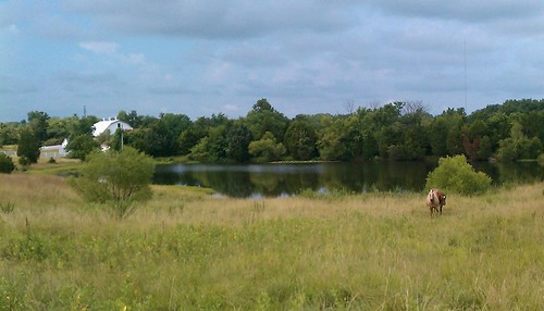
10/365 Horses