Elevation of MO-, Potosi, MO, USA
Location: United States > Missouri > Washington County > Liberty Township >
Longitude: -90.899679
Latitude: 38.0319912
Elevation: 281m / 922feet
Barometric Pressure: 98KPa
Elevation Map:
Satellite Map:
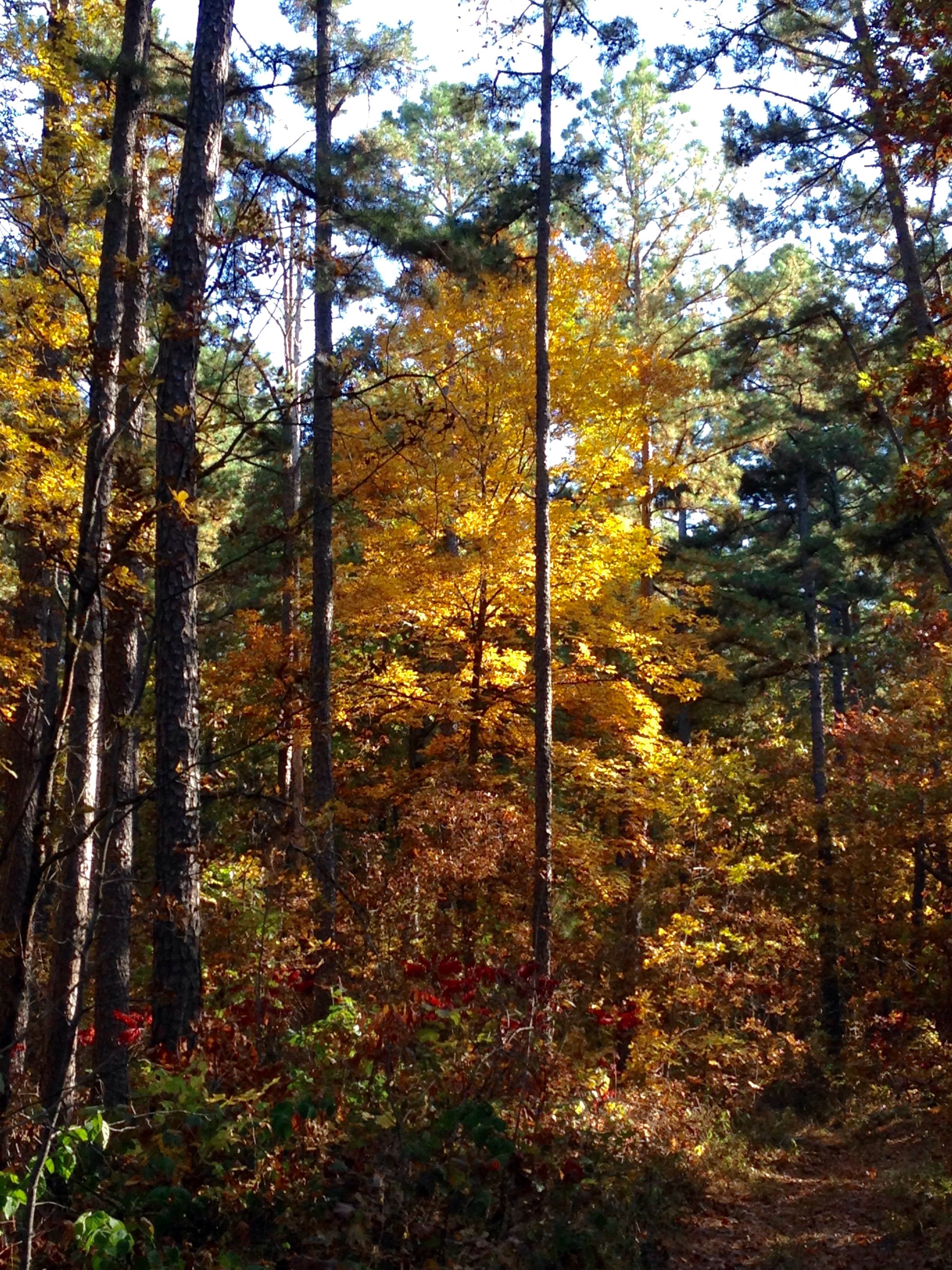
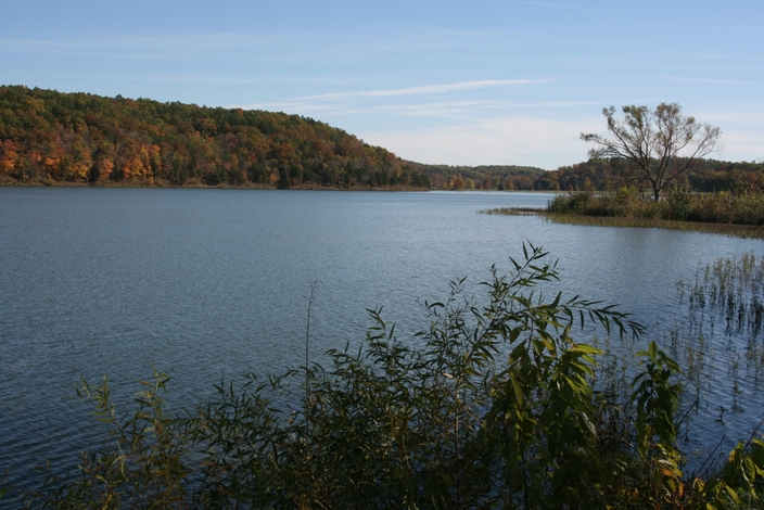
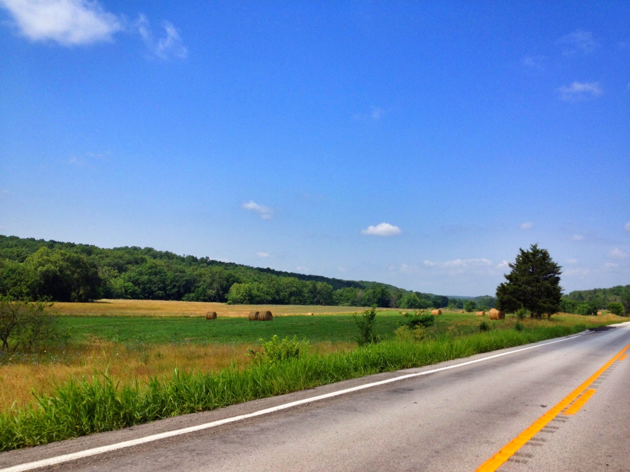
Related Photos:
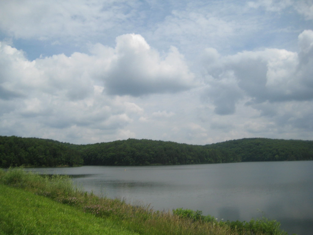
YMCA Camp Lakewood Session 3 Day 4

YMCA Camp Lakewood Session 3 Day 4

YMCA Camp Lakewood Session 3 Day 4
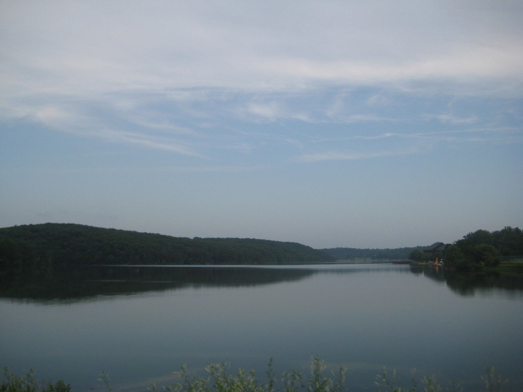
Frogtown reflection

Grave of Moses Austin, Potosi (Mo.), 19 August 1986
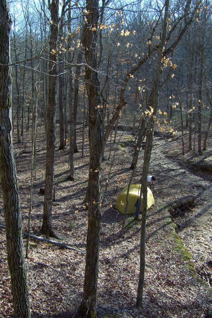
Our campsite in Smith Mill Hollow
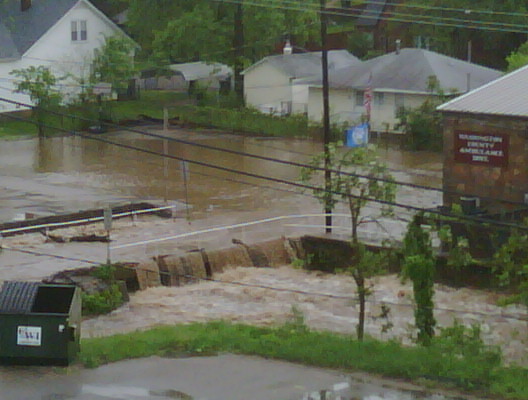
May 8th Flooding
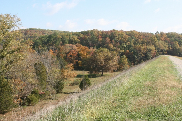
Steelville, MO area
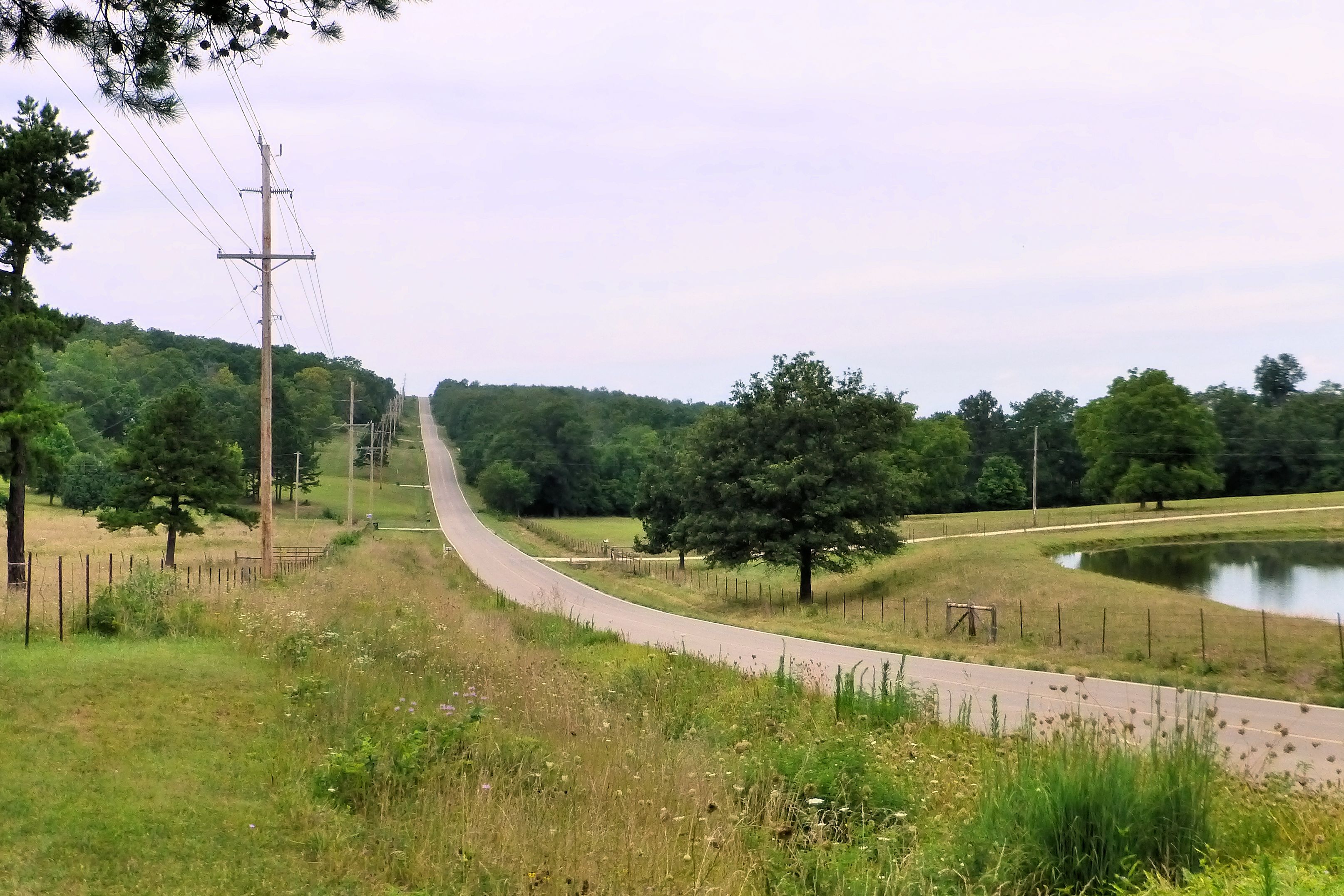
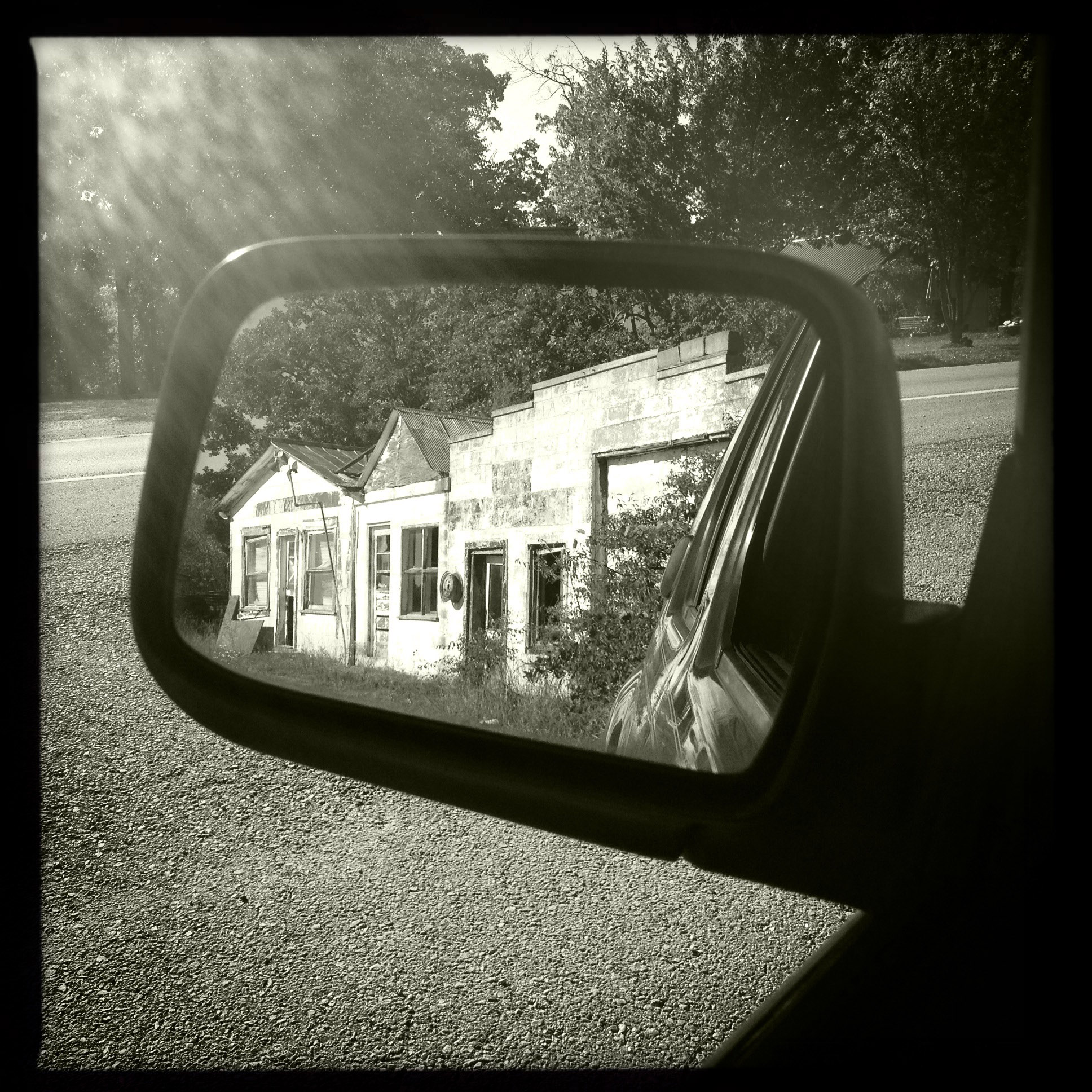
Missouri State Highway 185 near Potosi, MO_P1350329c4e2
wrockstock-day2-095
wrockstock-day3-005
wrockstock-day3-042
Beautiful Day
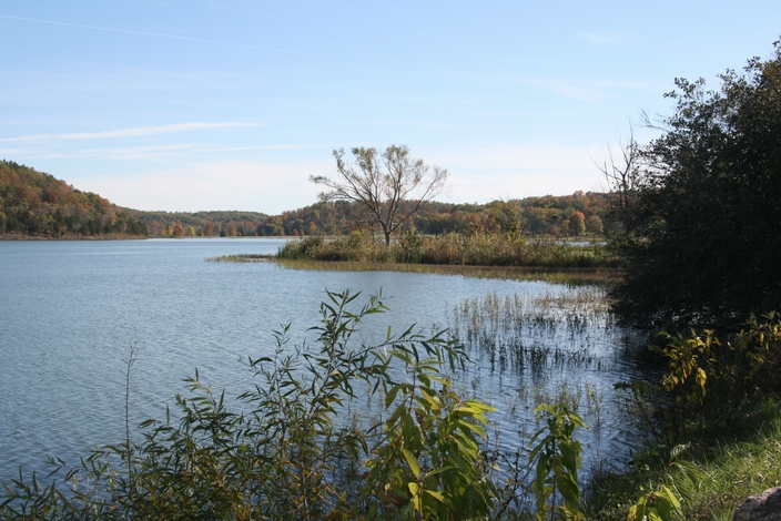
Sundown at Little Brazil Creek, Missouri
wrockstock-day2-105
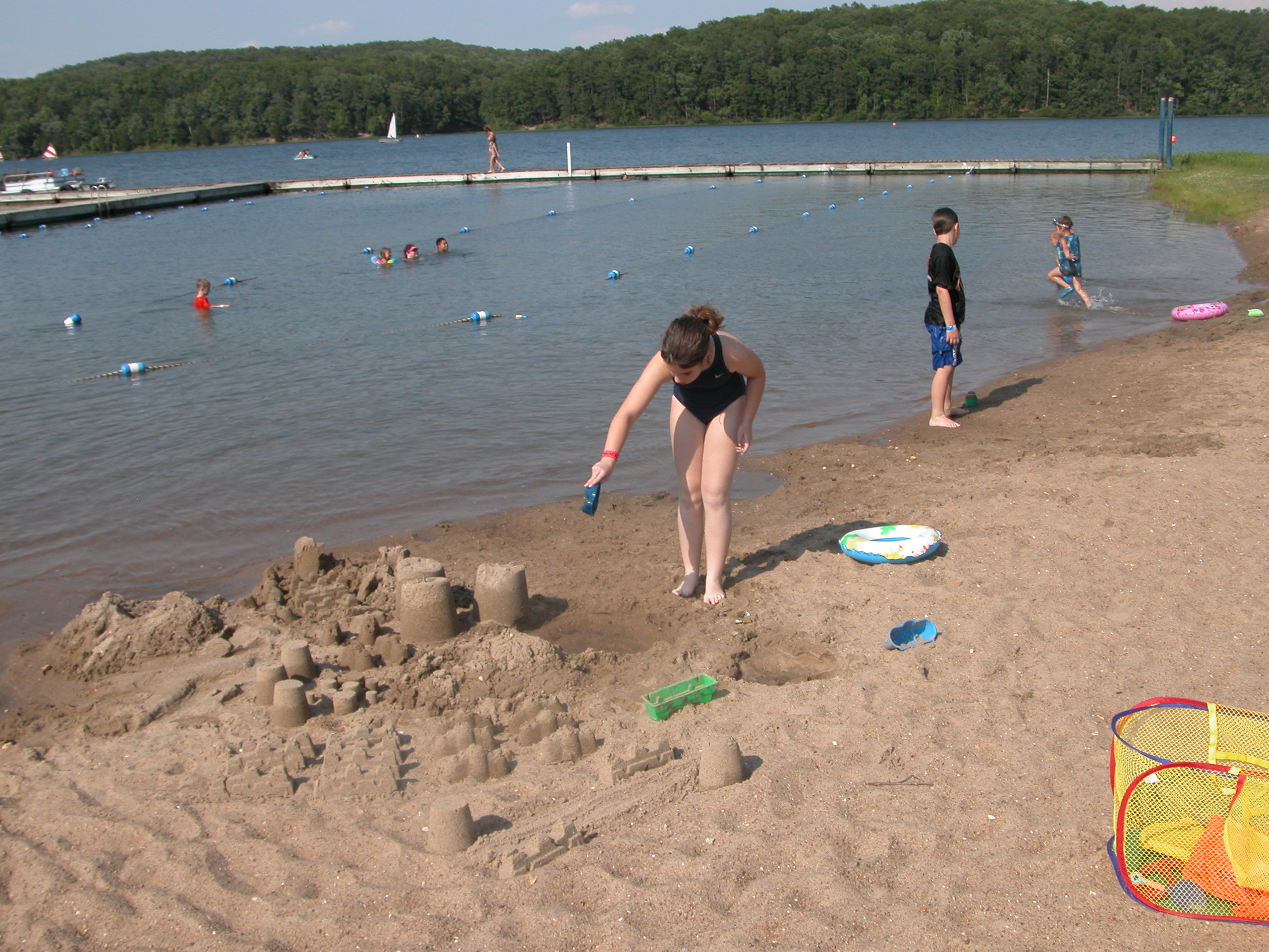
Camp Lakewood Session 3 Day 1
wrockstock-day3-047
wrockstock-day3-045
EH 605-61205 Intergen (142)
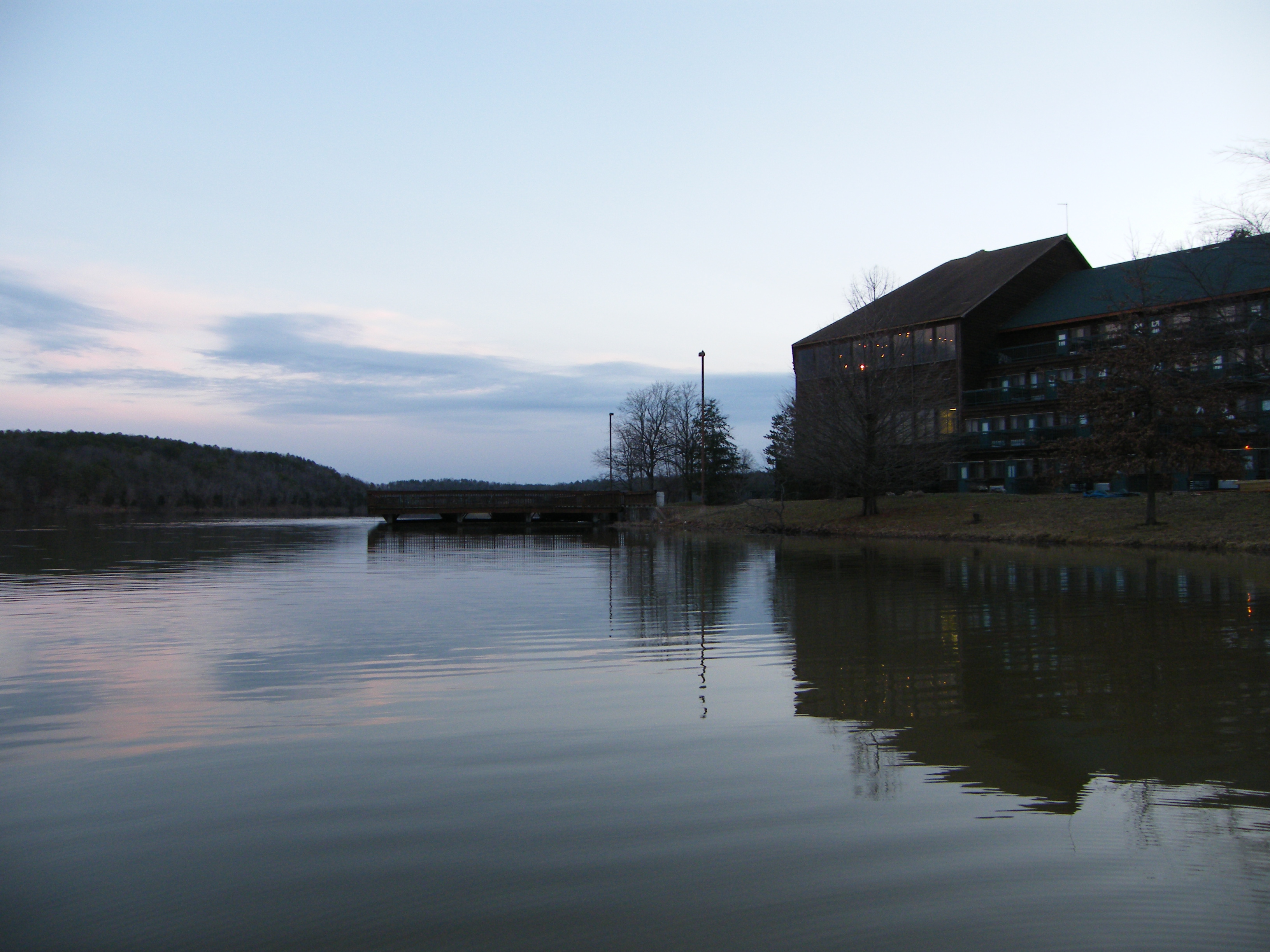
YMCA Trout Lodge on Lake at Dusk
wrockstock-day2-082

Wrockstock III
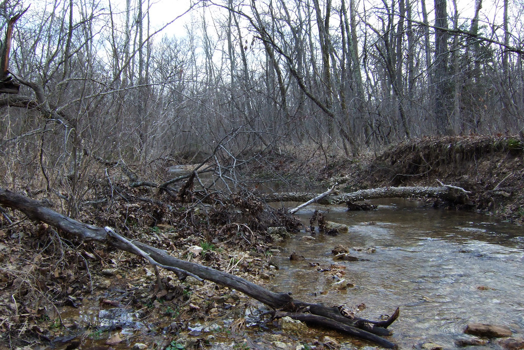
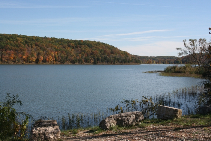
Little Brazil Creek, Missouri
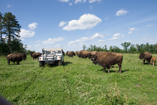
Sayersbrook Bison Ranch, Potosi
wrockstock-day2-089

Wrockstock III
wrockstock-day2-090
Topographic Map of MO-, Potosi, MO, USA
Find elevation by address:

Places near MO-, Potosi, MO, USA:
Liberty Township
Richwoods Township
Goose Creek Road
10424 Daugherty Ln
10364 Bequette Rd
Johnson Township
Richwoods
Little Indian Creek Ca Shooting Range
10081 Anthonies Mill Rd
22019 Mo-21
MO-, Sullivan, MO, USA
7657 State Rd H
Cannon Mines Rd, Cadet, MO, USA
Cadet
44 Britton Rd, De Soto, MO, USA
Big River Heights Road
11567 Ware Lake Rd
State Hwy N, Bourbon, MO, USA
5858 Big River Heights Rd
Blue Springs Ranch
Recent Searches:
- Elevation of Lampiasi St, Sarasota, FL, USA
- Elevation of Elwyn Dr, Roanoke Rapids, NC, USA
- Elevation of Congressional Dr, Stevensville, MD, USA
- Elevation of Bellview Rd, McLean, VA, USA
- Elevation of Stage Island Rd, Chatham, MA, USA
- Elevation of Shibuya Scramble Crossing, 21 Udagawacho, Shibuya City, Tokyo -, Japan
- Elevation of Jadagoniai, Kaunas District Municipality, Lithuania
- Elevation of Pagonija rock, Kranto 7-oji g. 8"N, Kaunas, Lithuania
- Elevation of Co Rd 87, Jamestown, CO, USA
- Elevation of Tenjo, Cundinamarca, Colombia