Elevation of Cannon Mines Rd, Cadet, MO, USA
Location: United States > Missouri > Washington County >
Longitude: -90.686721
Latitude: 38.073163
Elevation: 232m / 761feet
Barometric Pressure: 99KPa
Elevation Map:
Satellite Map:
Related Photos:

Main Street Morning
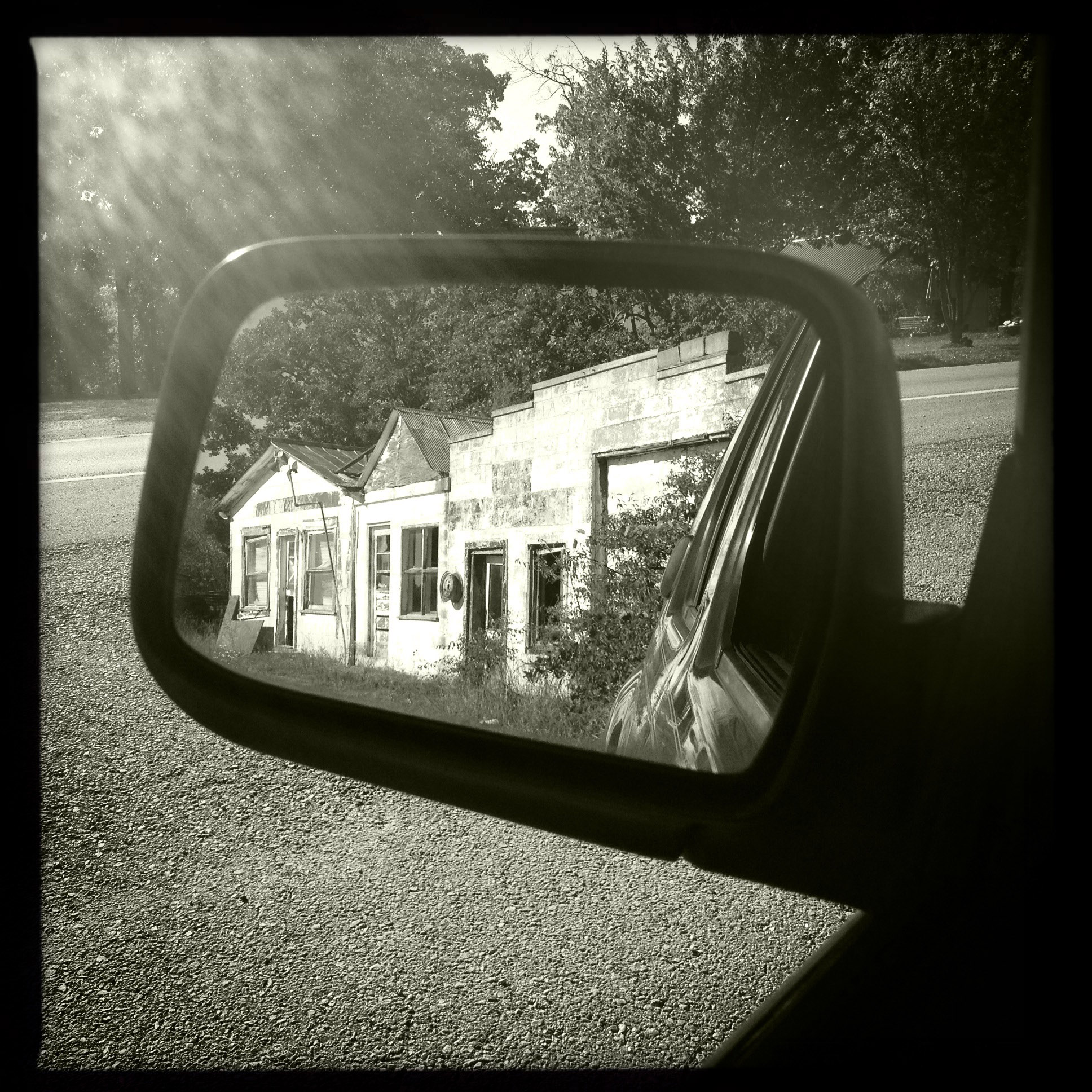
Frogtown reflection
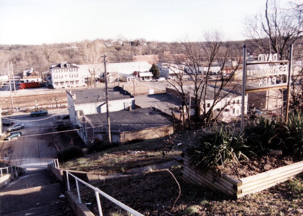
MO-De Soto - David Bernhardt Park
1,000 Steps Trail
☀ Not to shabby of a day
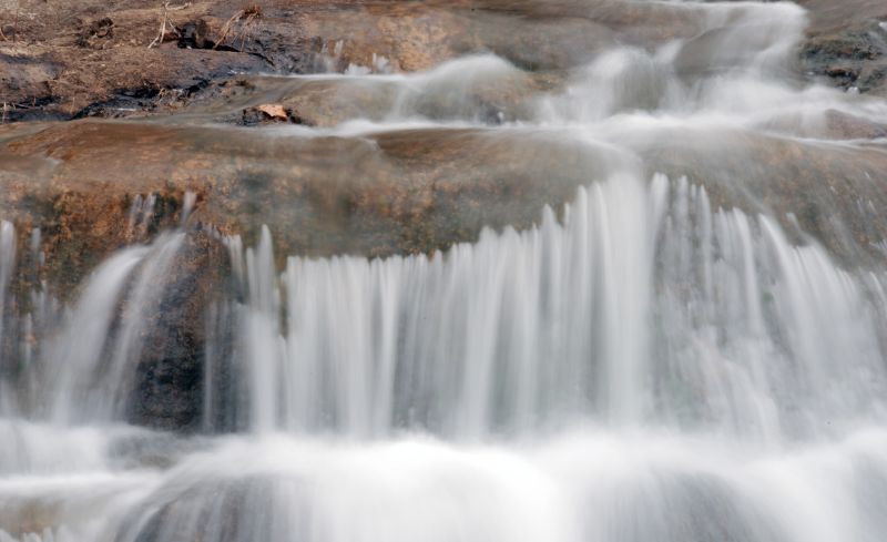
Winter Stream
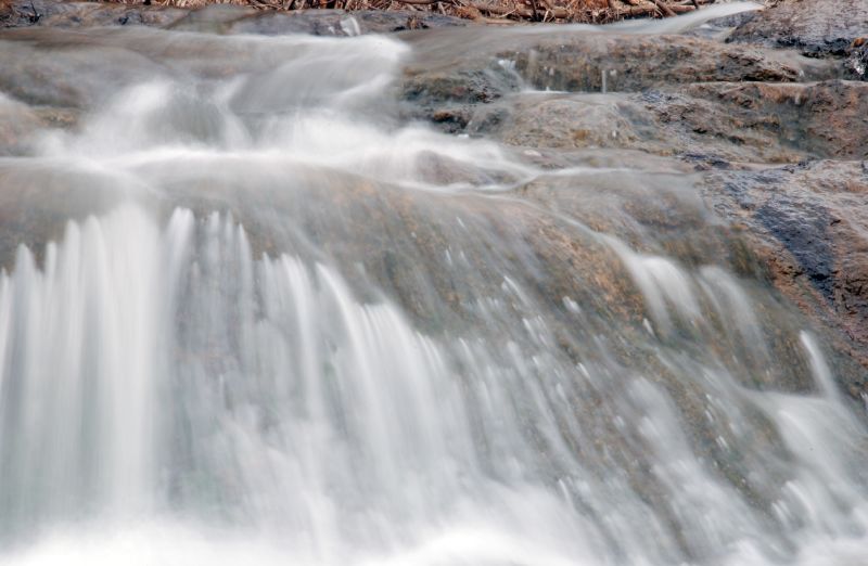
Winter Stream
Winter Stream
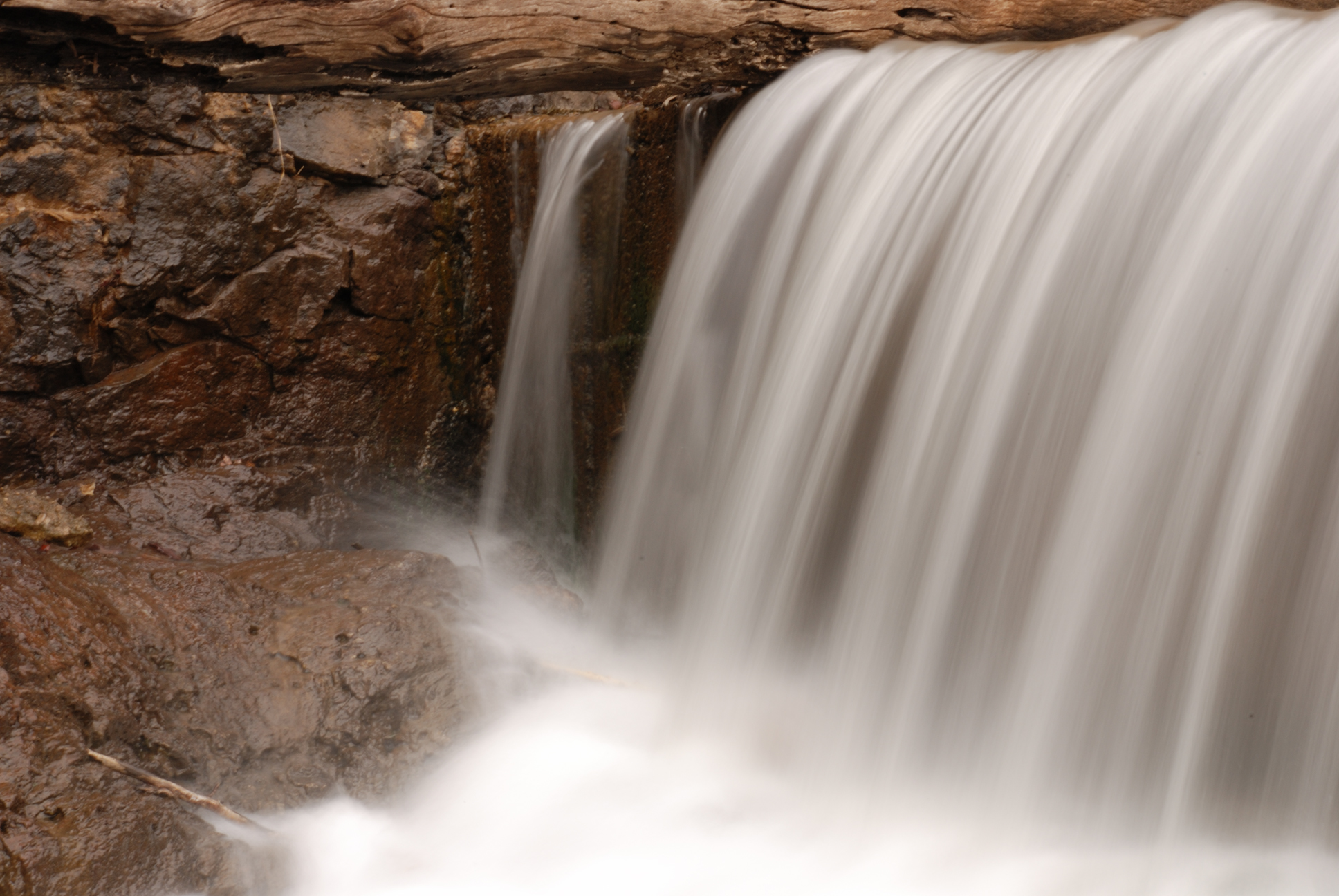
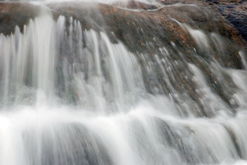
Winter Falls
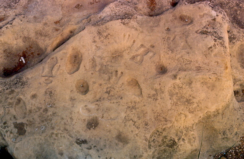
Petroglyphs, Washington State Park, Washington County (Mo.), 8 August 1981
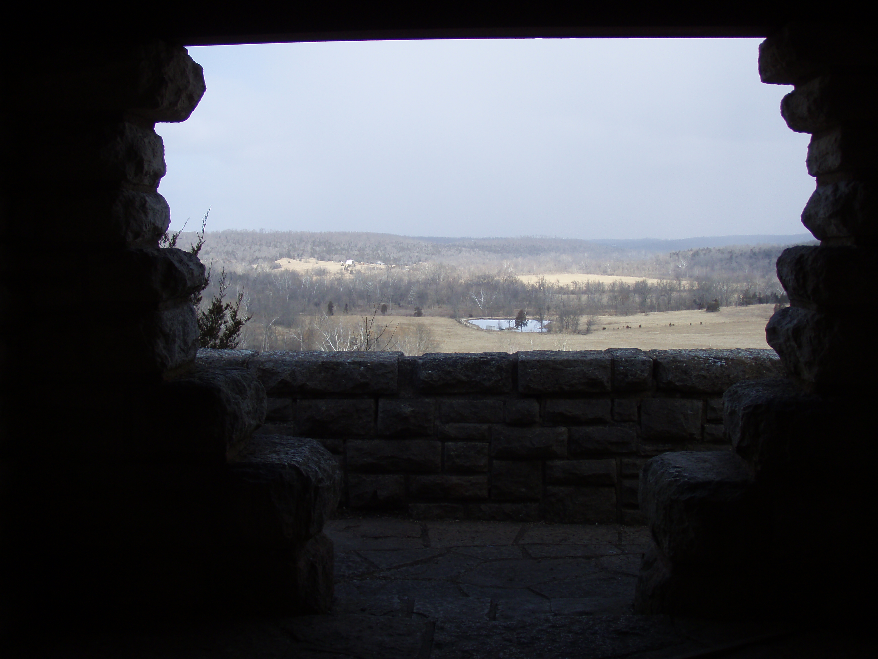
Moonlit Scenic Overlook
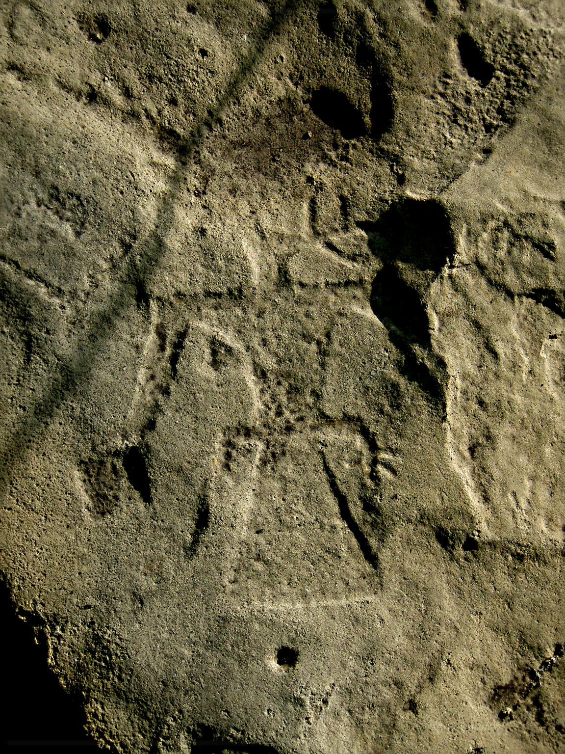
Speaking Thunderbird Petroglyph
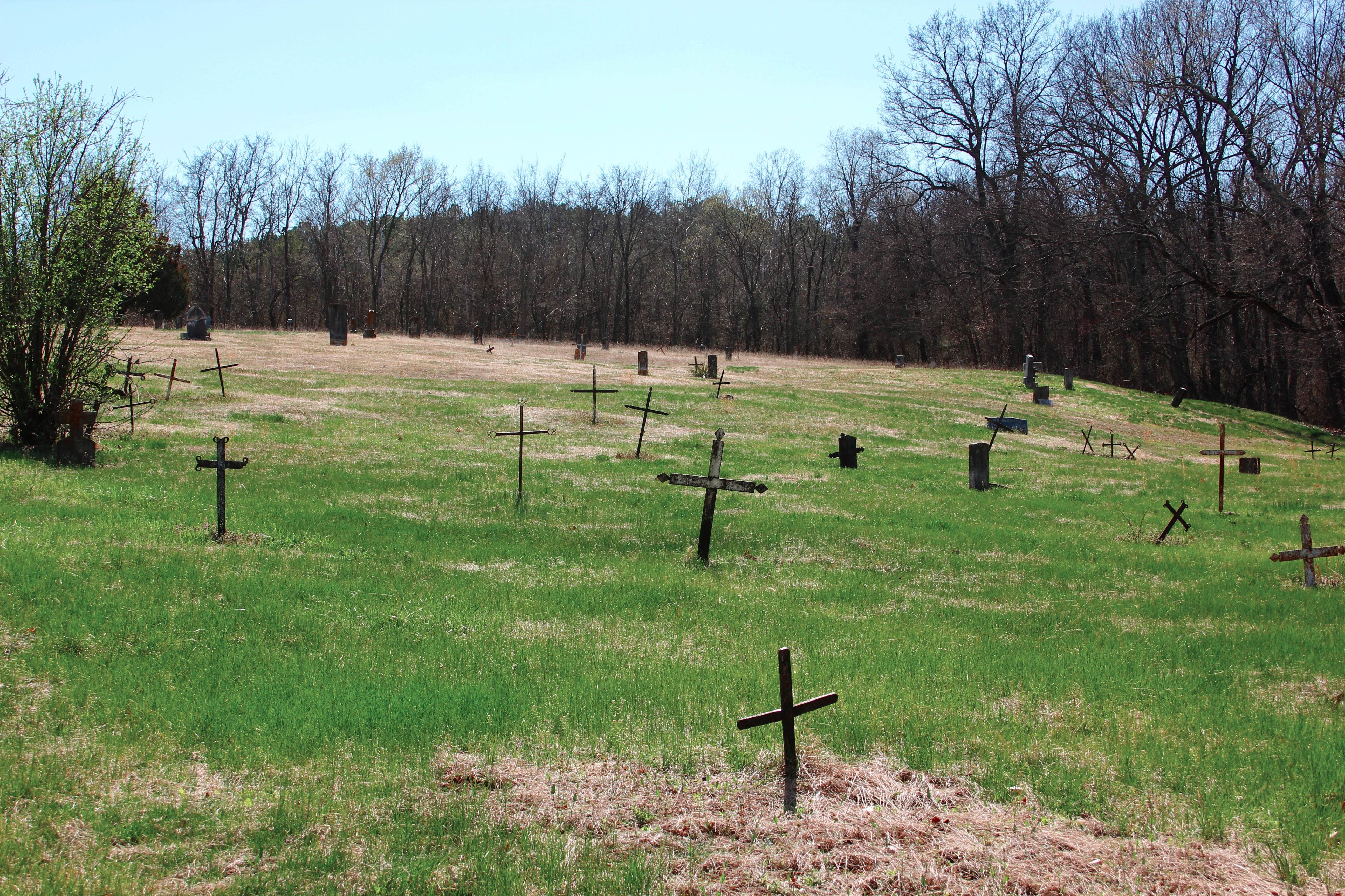
Old Mines

Blue-eyed Mary

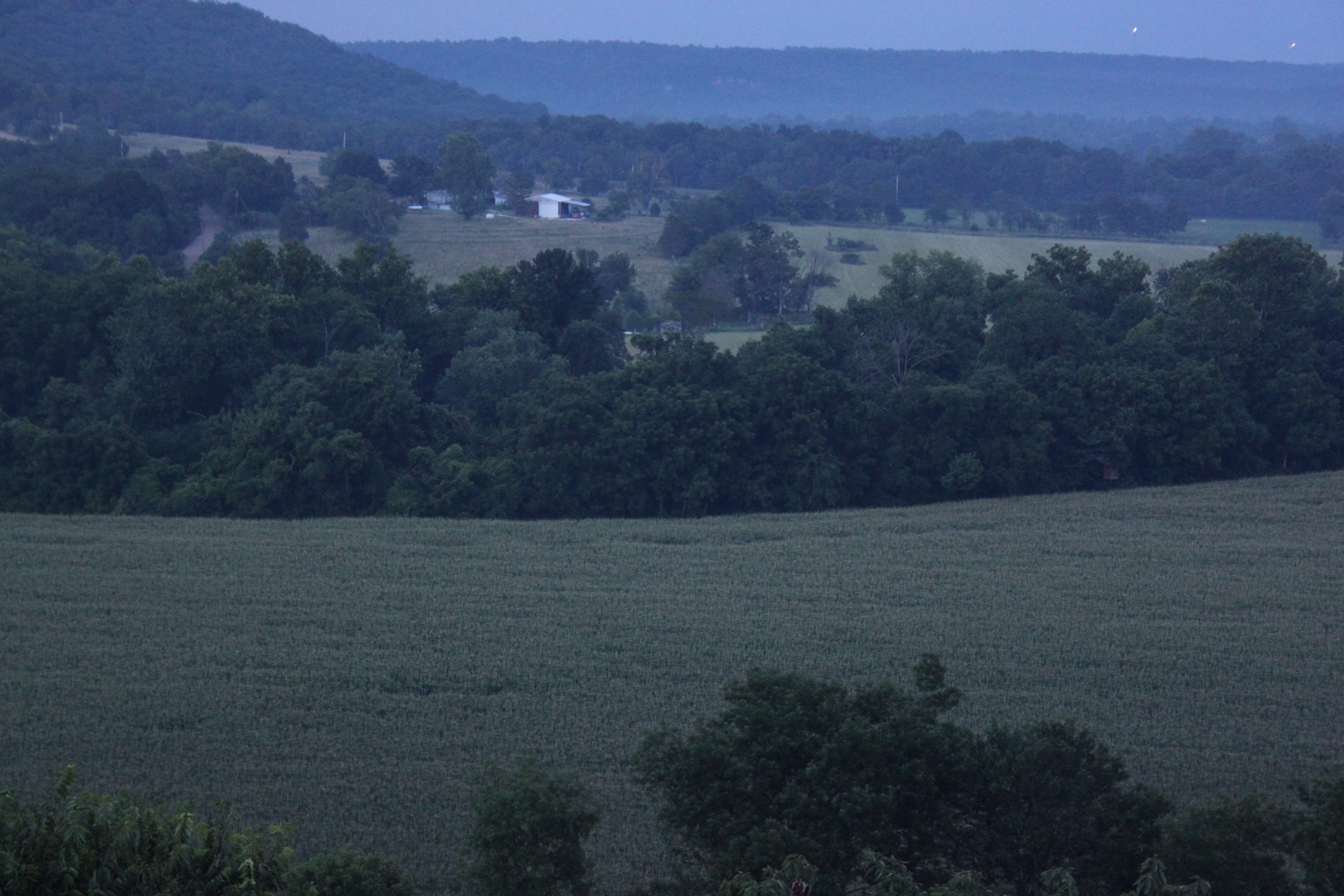
Fertile Vista A

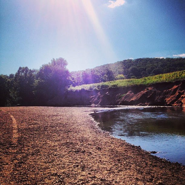
River of Corn
Topographic Map of Cannon Mines Rd, Cadet, MO, USA
Find elevation by address:

Places near Cannon Mines Rd, Cadet, MO, USA:
44 Britton Rd, De Soto, MO, USA
Big River Heights Road
5858 Big River Heights Rd
5732 Big River Heights Rd
Vineland Rd, De Soto, MO, USA
Cadet
Valle Township
State Rd E, De Soto, MO, USA
Big River Township
De Soto
4th Street
4152 Ridge Dr
Silver Springs Rd, Bonne Terre, MO, USA
State Hwy JJ, De Soto, MO, USA
Selma Rd, De Soto, MO, USA
2720 Lee Pyle Rd
13864 Rouggly Rd
West Tomahawk Trail
Laguna Palma Rd, De Soto, MO, USA
East Tomahawk
Recent Searches:
- Elevation of Congressional Dr, Stevensville, MD, USA
- Elevation of Bellview Rd, McLean, VA, USA
- Elevation of Stage Island Rd, Chatham, MA, USA
- Elevation of Shibuya Scramble Crossing, 21 Udagawacho, Shibuya City, Tokyo -, Japan
- Elevation of Jadagoniai, Kaunas District Municipality, Lithuania
- Elevation of Pagonija rock, Kranto 7-oji g. 8"N, Kaunas, Lithuania
- Elevation of Co Rd 87, Jamestown, CO, USA
- Elevation of Tenjo, Cundinamarca, Colombia
- Elevation of Côte-des-Neiges, Montreal, QC H4A 3J6, Canada
- Elevation of Bobcat Dr, Helena, MT, USA