Elevation of Ridge Dr, De Soto, MO, USA
Location: United States > Missouri > Jefferson County > Valle Township > De Soto >
Longitude: -90.523225
Latitude: 38.048918
Elevation: 247m / 810feet
Barometric Pressure: 98KPa
Elevation Map:
Satellite Map:
Related Photos:
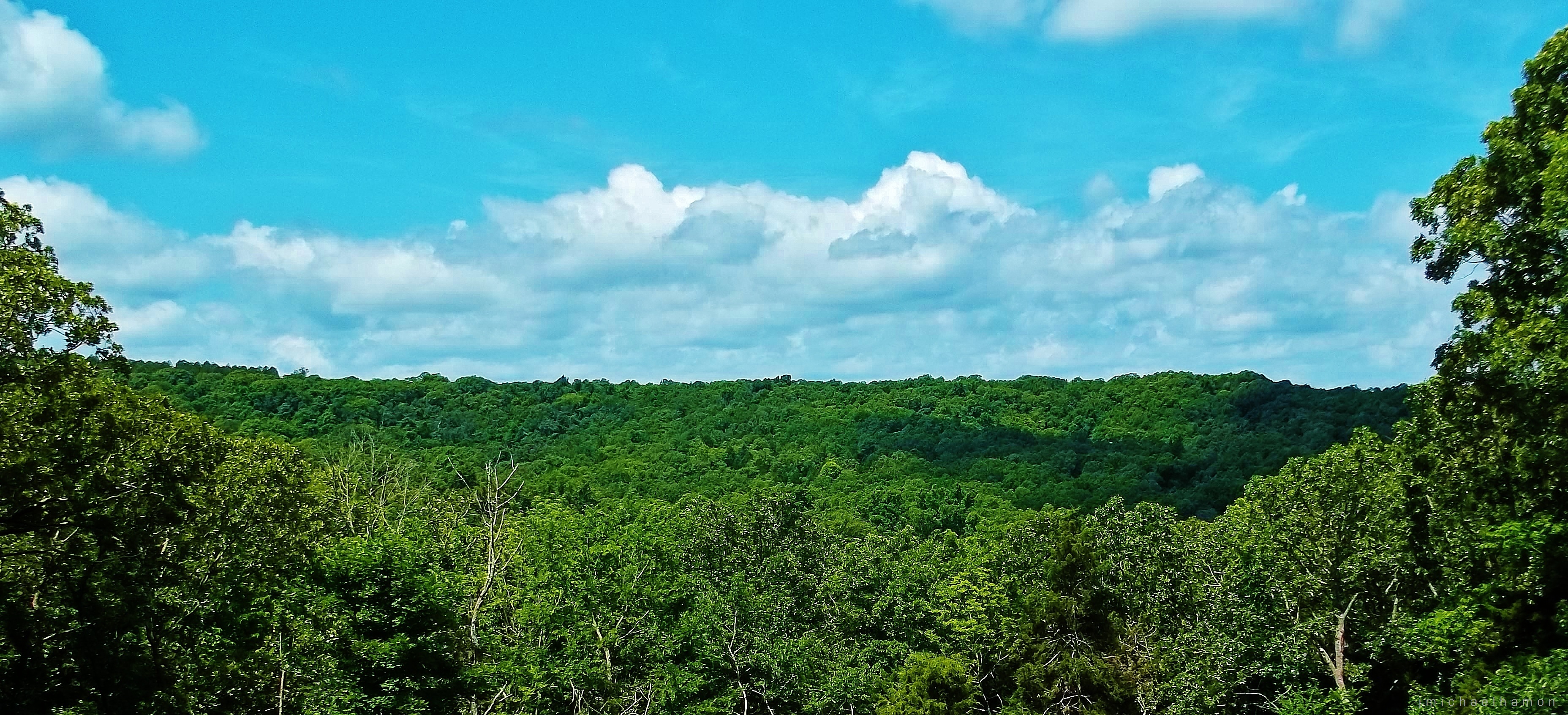
Vista De La Bickel

Main Street Morning
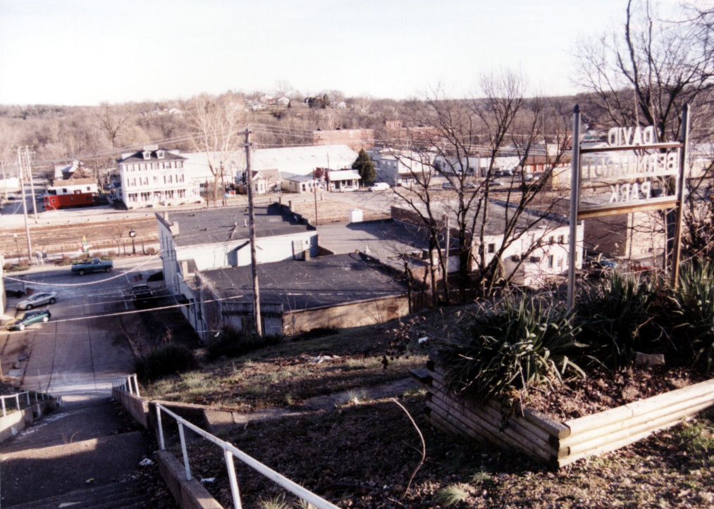
MO-De Soto - David Bernhardt Park

Spider in moss
1,000 Steps Trail

Looking down off the dive dock
☀ Not to shabby of a day
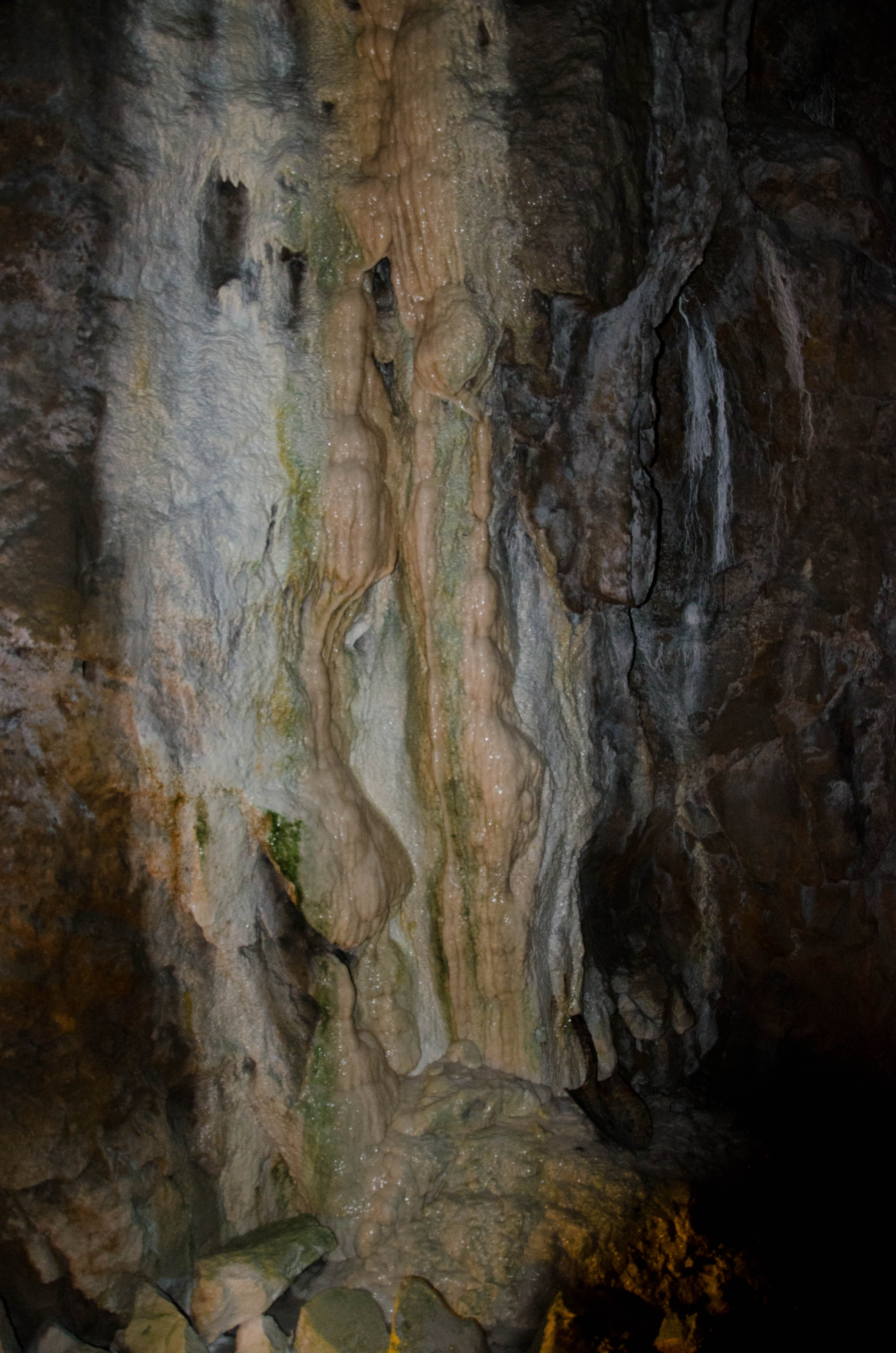
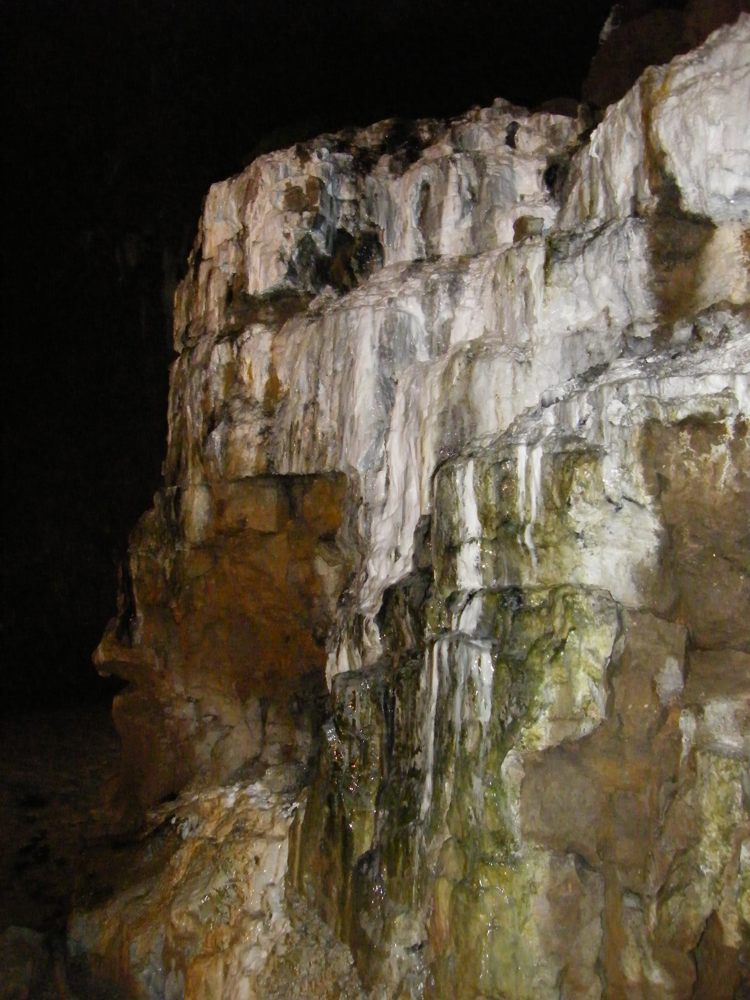
Bonne Terre Mine - Bonne Terre, Missouri

The Sky

Version 2
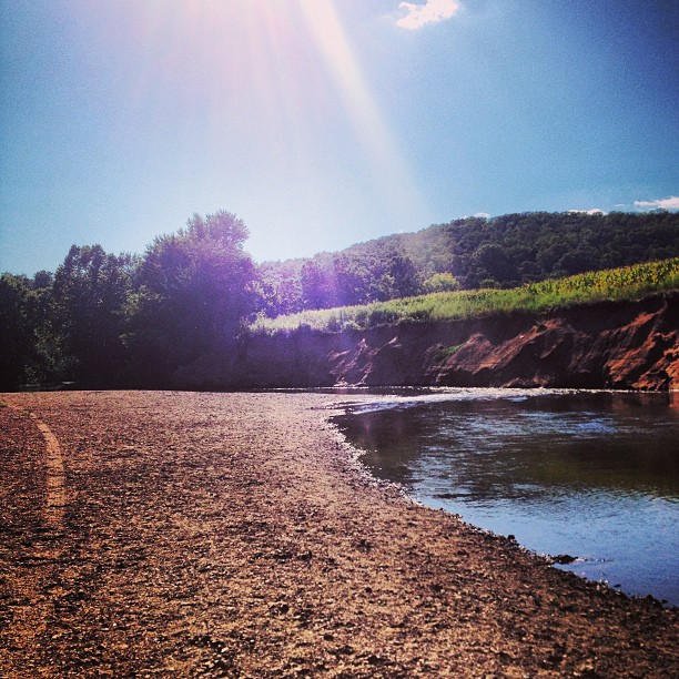
Timber Creek
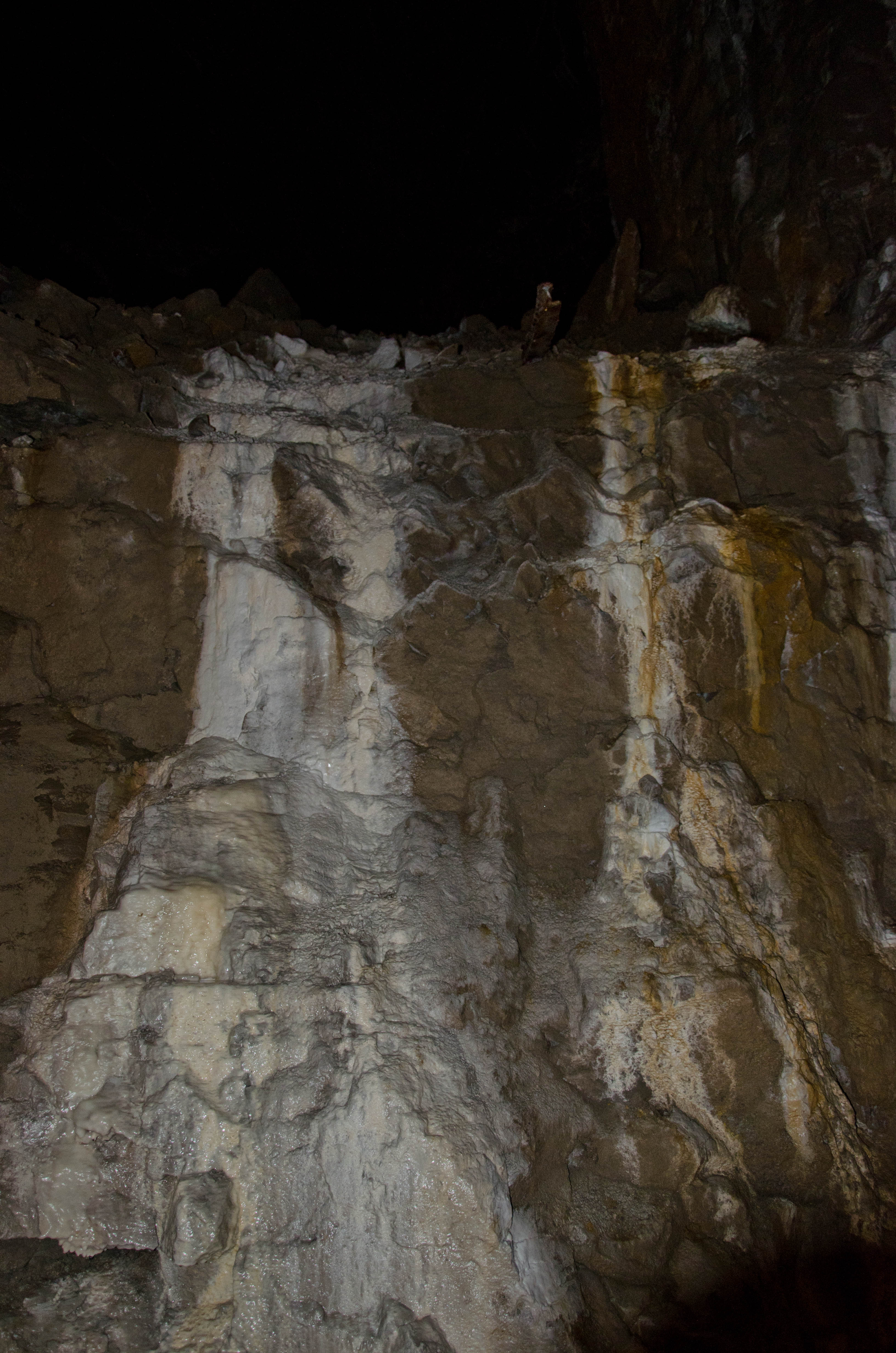
Bonne Terre Mine - Bonne Terre, Missouri

Winter Stream
Bonne Terre Mine - Bonne Terre, Missouri
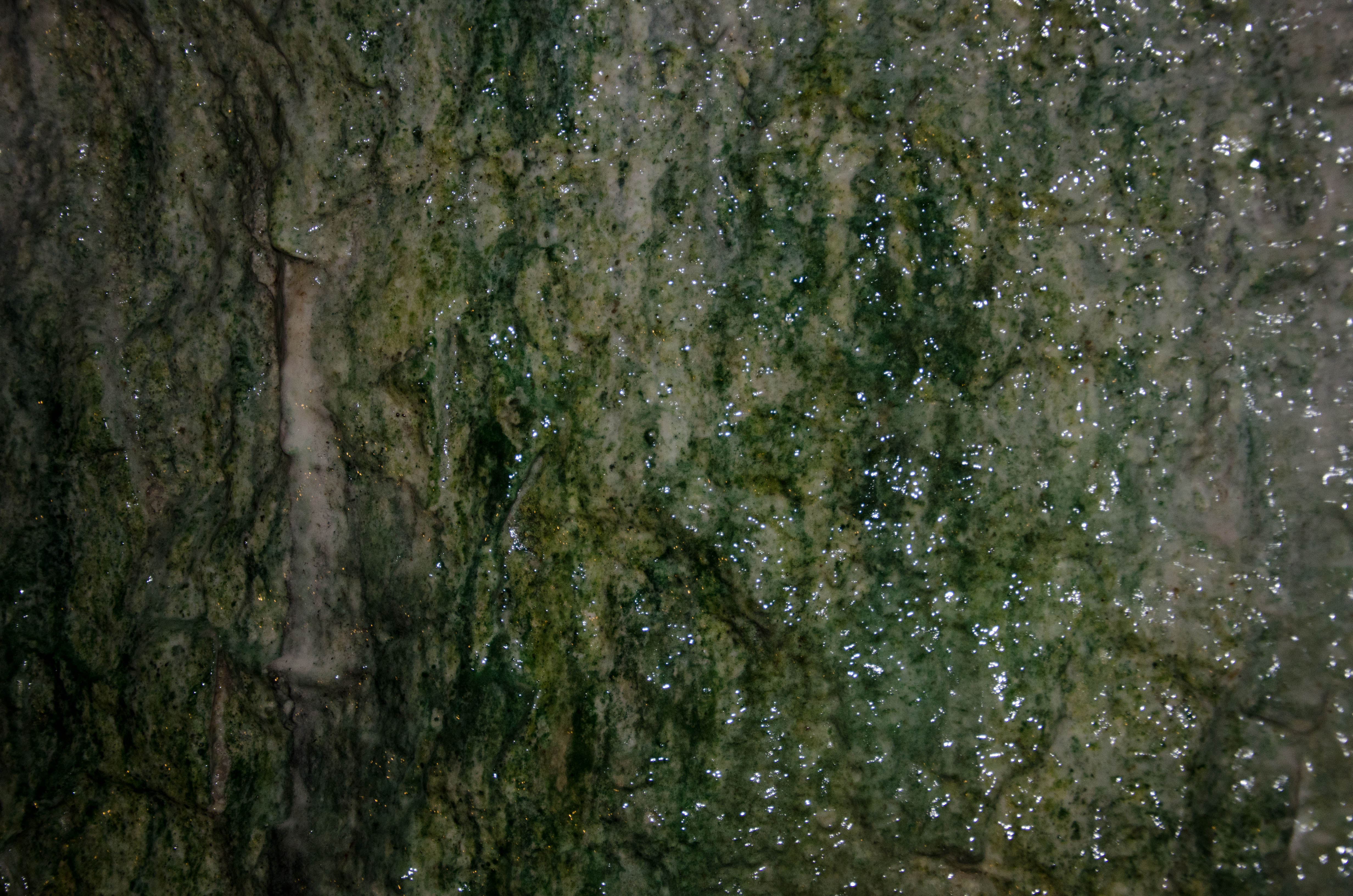
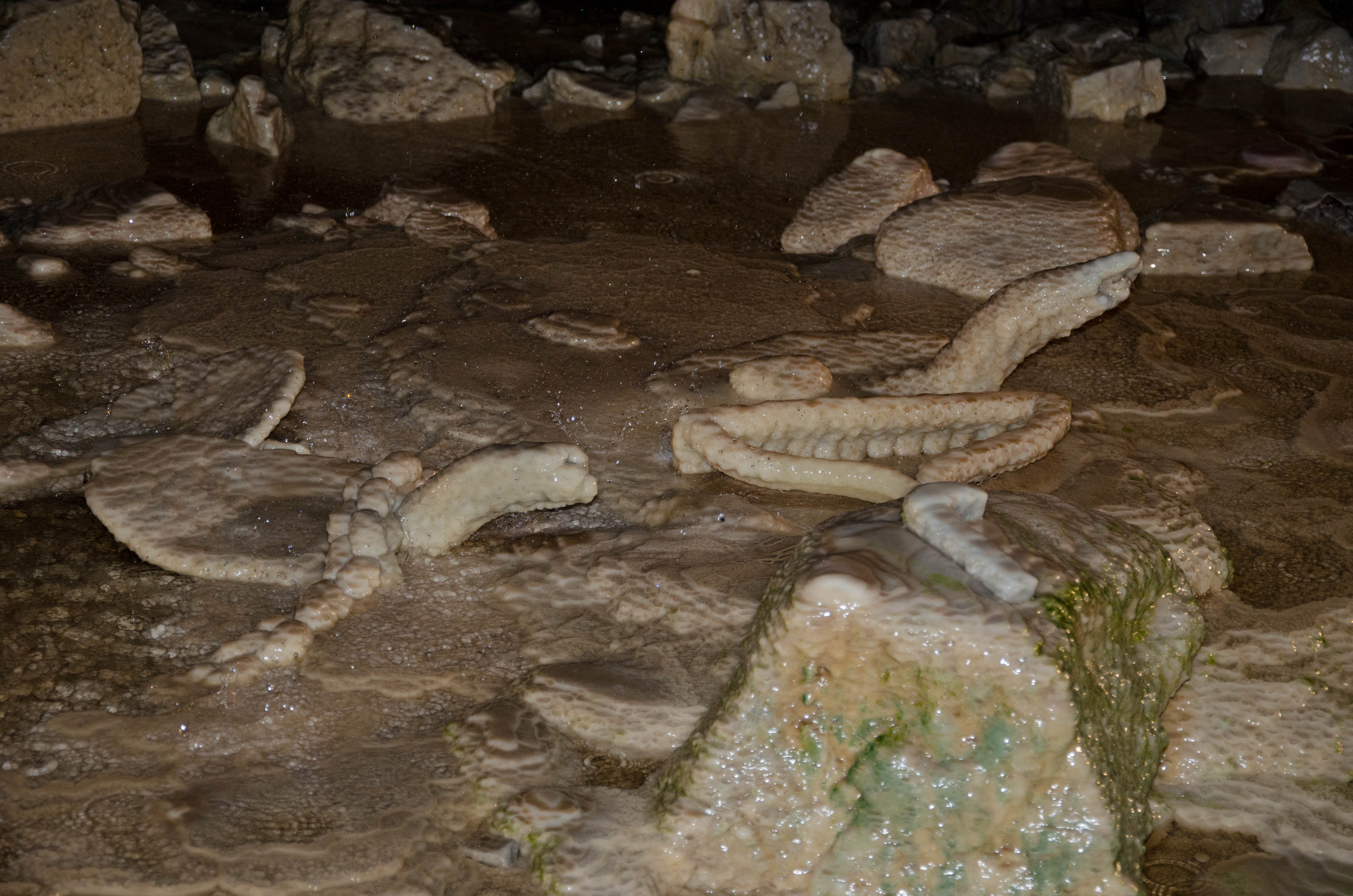
Mineral Deposits
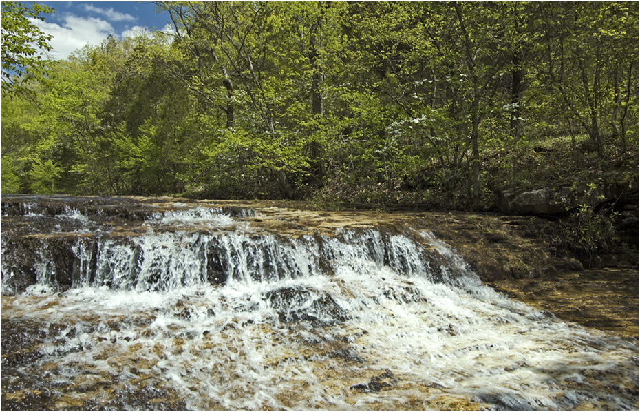
Winter Falls

Earth Knowledge
Bonne Terre Mine - Bonne Terre, Missouri
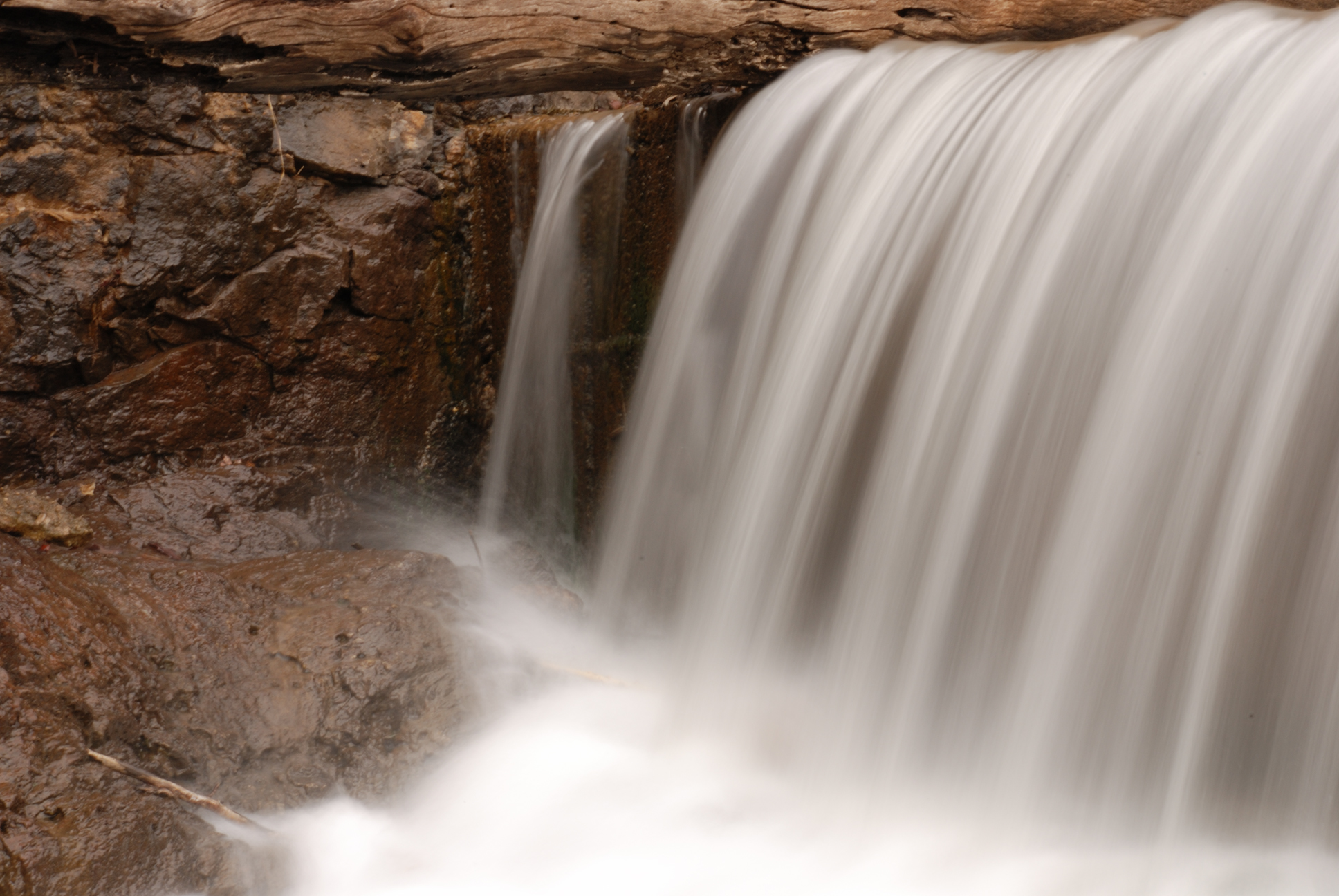
Mooner's Falls
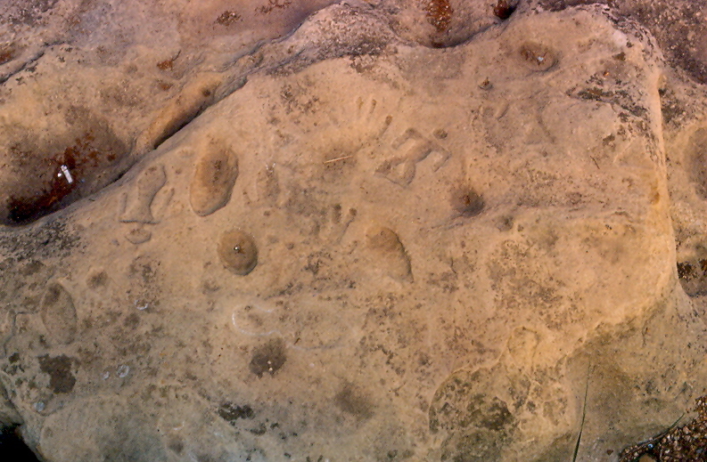
Petroglyphs, Washington State Park, Washington County (Mo.), 8 August 1981
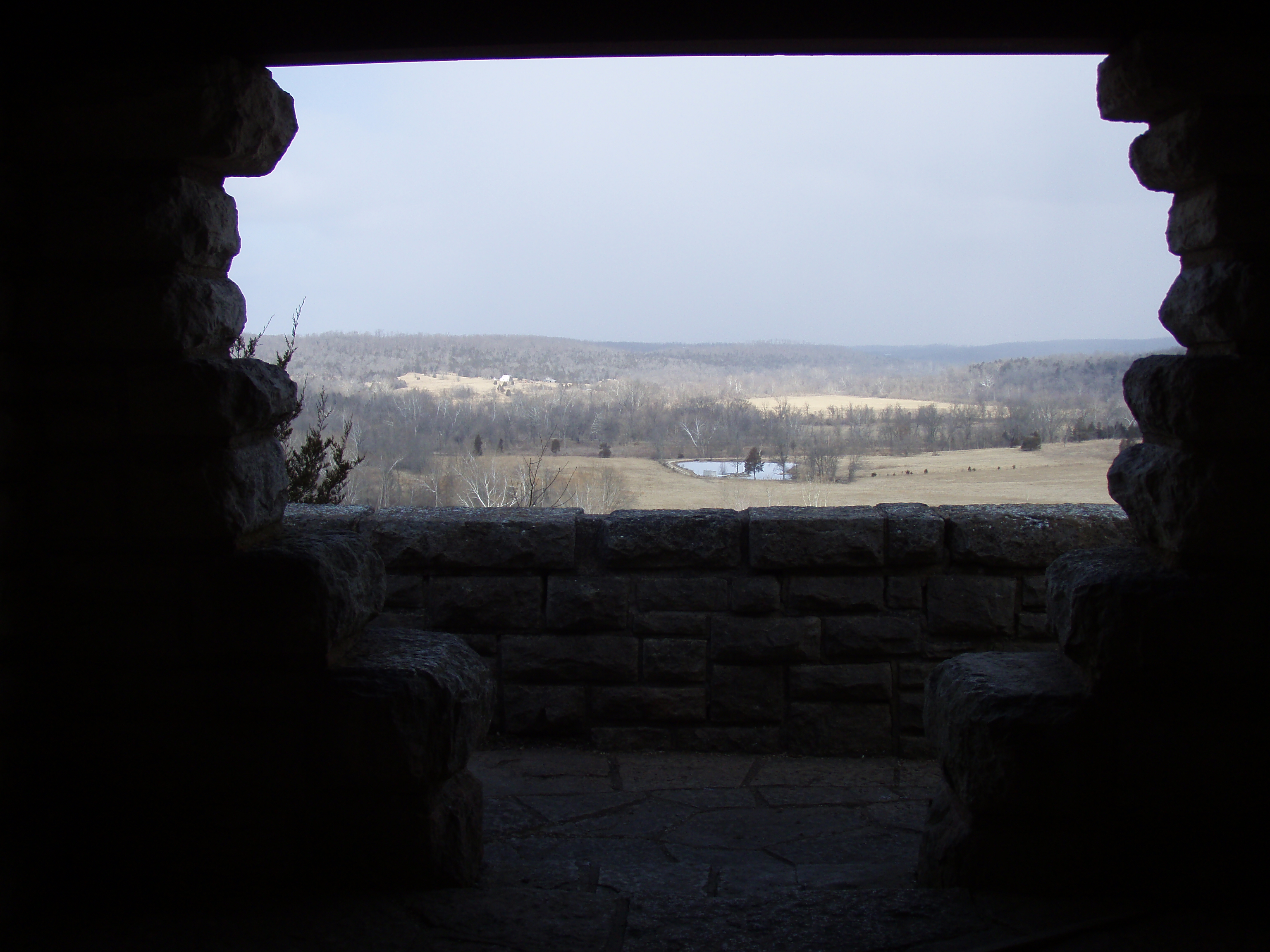
Moonlit Scenic Overlook
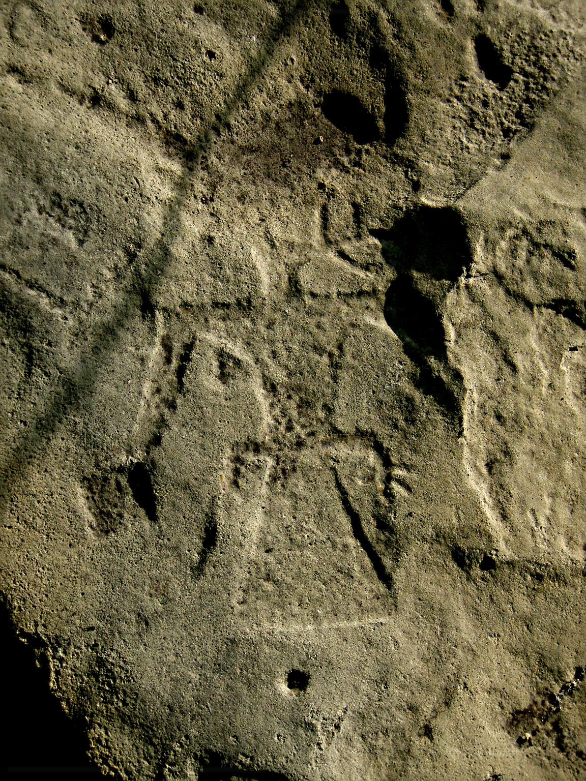
Speaking Thunderbird Petroglyph

St Francis State Park, Missouri

Blue-eyed Mary

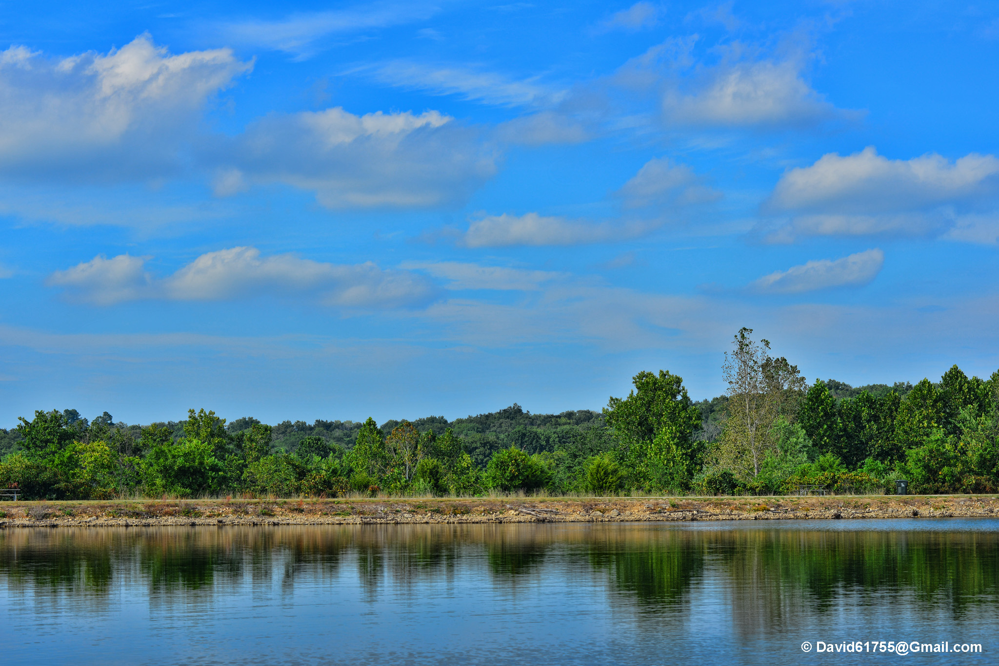
Fertile Vista A

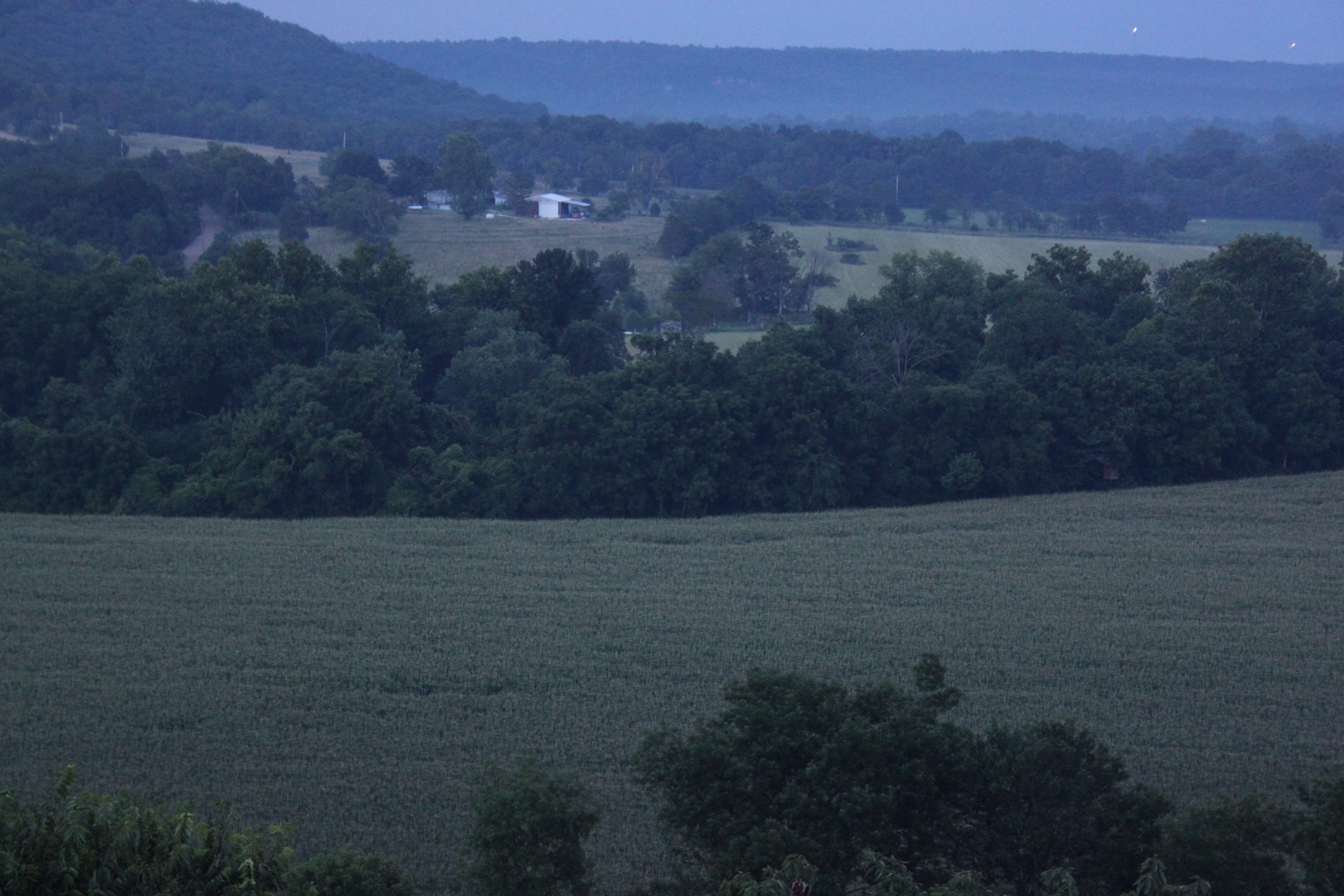
River of Corn
Topographic Map of Ridge Dr, De Soto, MO, USA
Find elevation by address:

Places near Ridge Dr, De Soto, MO, USA:
Silver Springs Rd, Bonne Terre, MO, USA
State Hwy JJ, De Soto, MO, USA
State Rd E, De Soto, MO, USA
Valle Township
4th Street
Big River Township
Selma Rd, De Soto, MO, USA
13864 Rouggly Rd
De Soto
2720 Lee Pyle Rd
West Tomahawk Trail
Vineland Rd, De Soto, MO, USA
Laguna Palma Rd, De Soto, MO, USA
East Tomahawk
5732 Big River Heights Rd
5858 Big River Heights Rd
44 Britton Rd, De Soto, MO, USA
Big River Heights Road
Festus, MO, USA
Plattin Township
Recent Searches:
- Elevation of 62 Abbey St, Marshfield, MA, USA
- Elevation of Fernwood, Bradenton, FL, USA
- Elevation of Felindre, Swansea SA5 7LU, UK
- Elevation of Leyte Industrial Development Estate, Isabel, Leyte, Philippines
- Elevation of W Granada St, Tampa, FL, USA
- Elevation of Pykes Down, Ivybridge PL21 0BY, UK
- Elevation of Jalan Senandin, Lutong, Miri, Sarawak, Malaysia
- Elevation of Bilohirs'k
- Elevation of 30 Oak Lawn Dr, Barkhamsted, CT, USA
- Elevation of Luther Road, Luther Rd, Auburn, CA, USA